Brattefjell
Avgift
Vegen eller parkeringsplassen har avgift. Ta med småpengar. Enkelte tar kort og Vipps.
Vêrvarsel
Hentar vêrdata…
Kjelde: Yr.no (Meteorologisk institutt)
Kart og rute
S Start
M Mål
▲ Høgaste punkt
▼ Lågaste punkt
km Hovudrute
km Alternativ rute
↕ m Stigning
Om turen
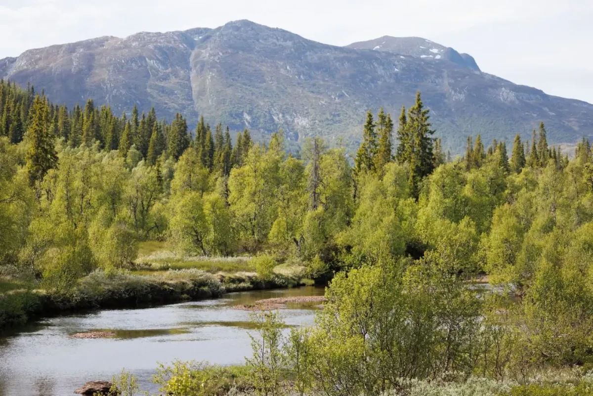
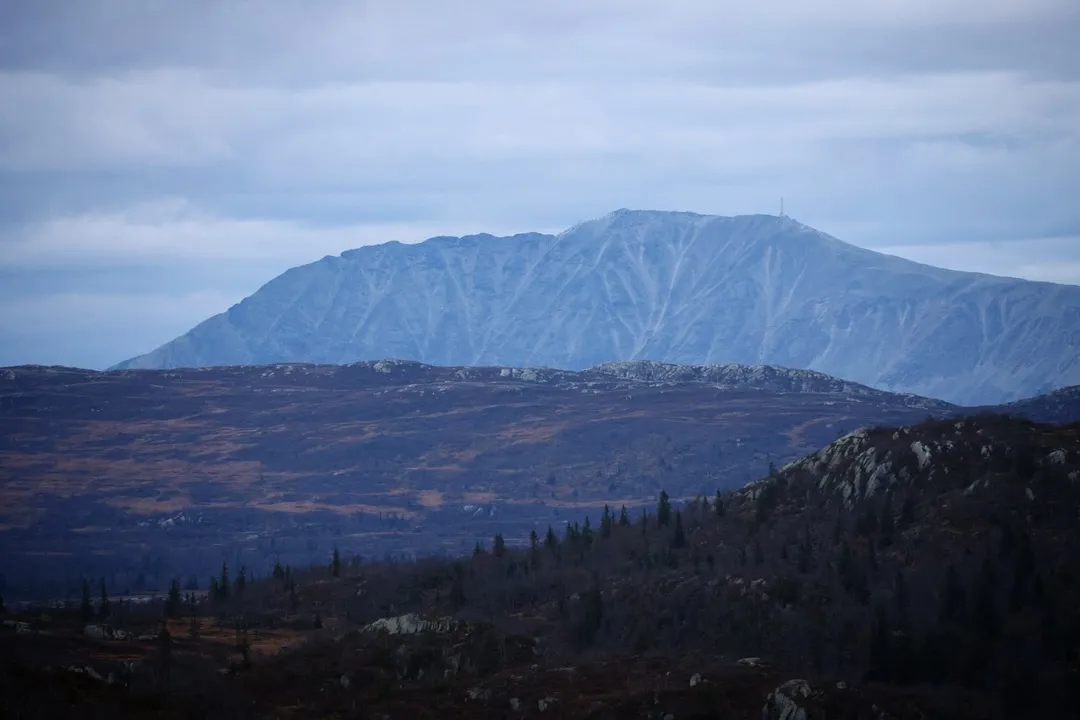
Brattefjell – høgfjellsro og utsikt frå ein av dei store toppane i Vest-Telemark
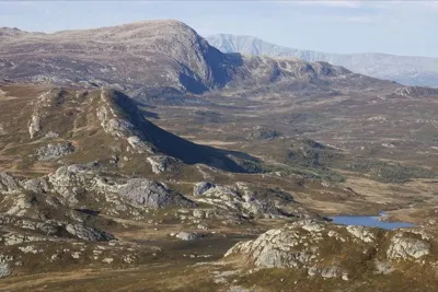
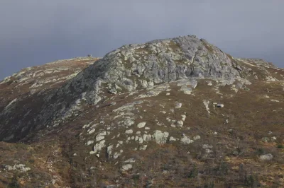
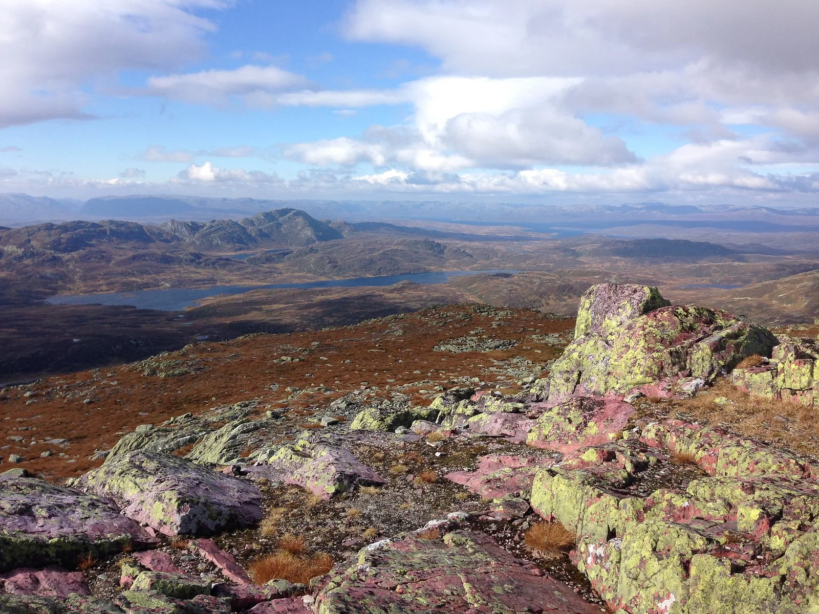
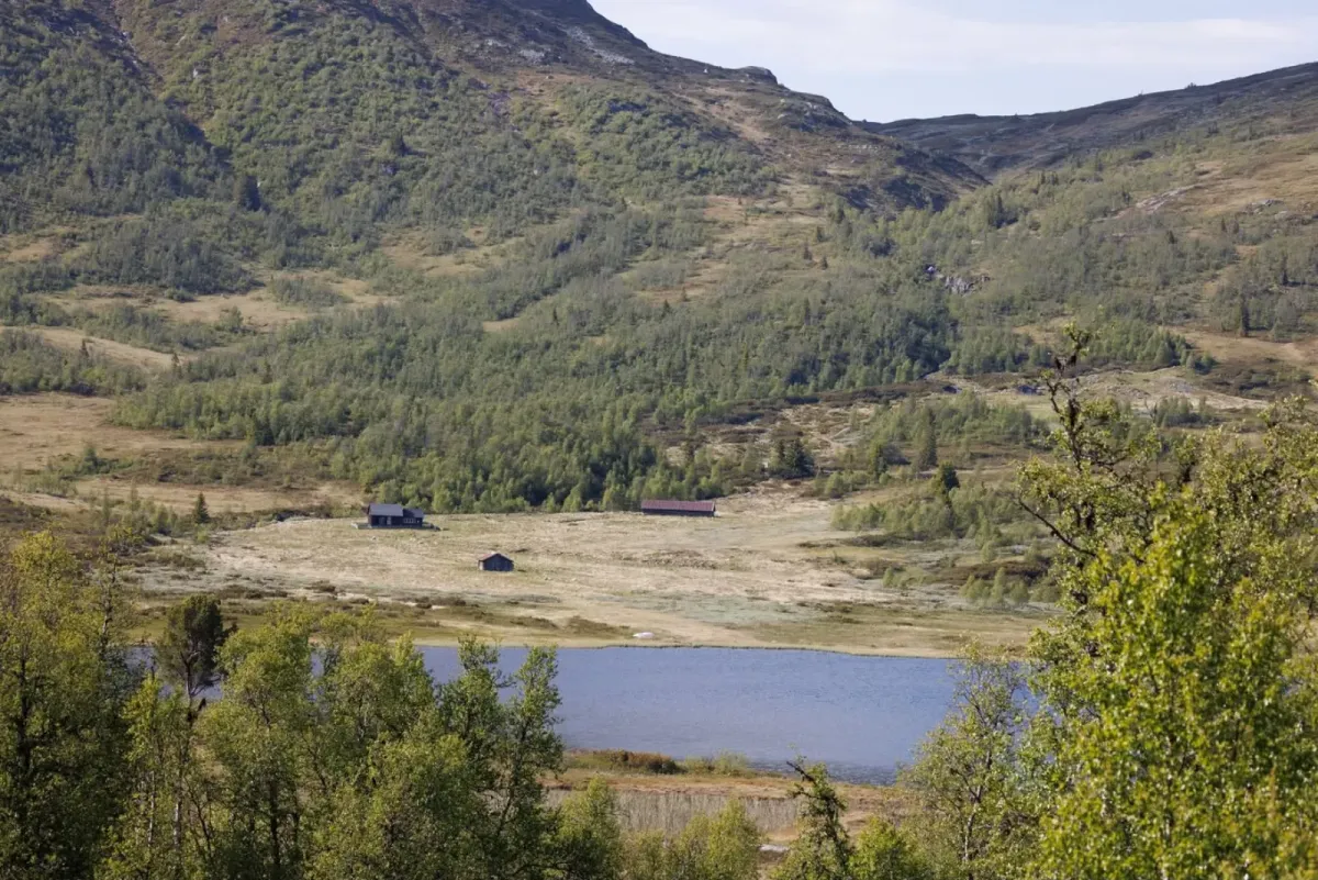
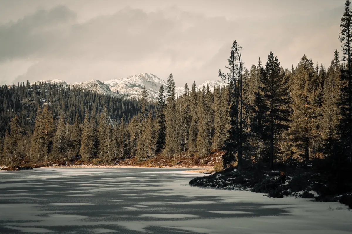
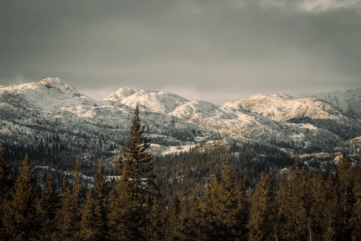
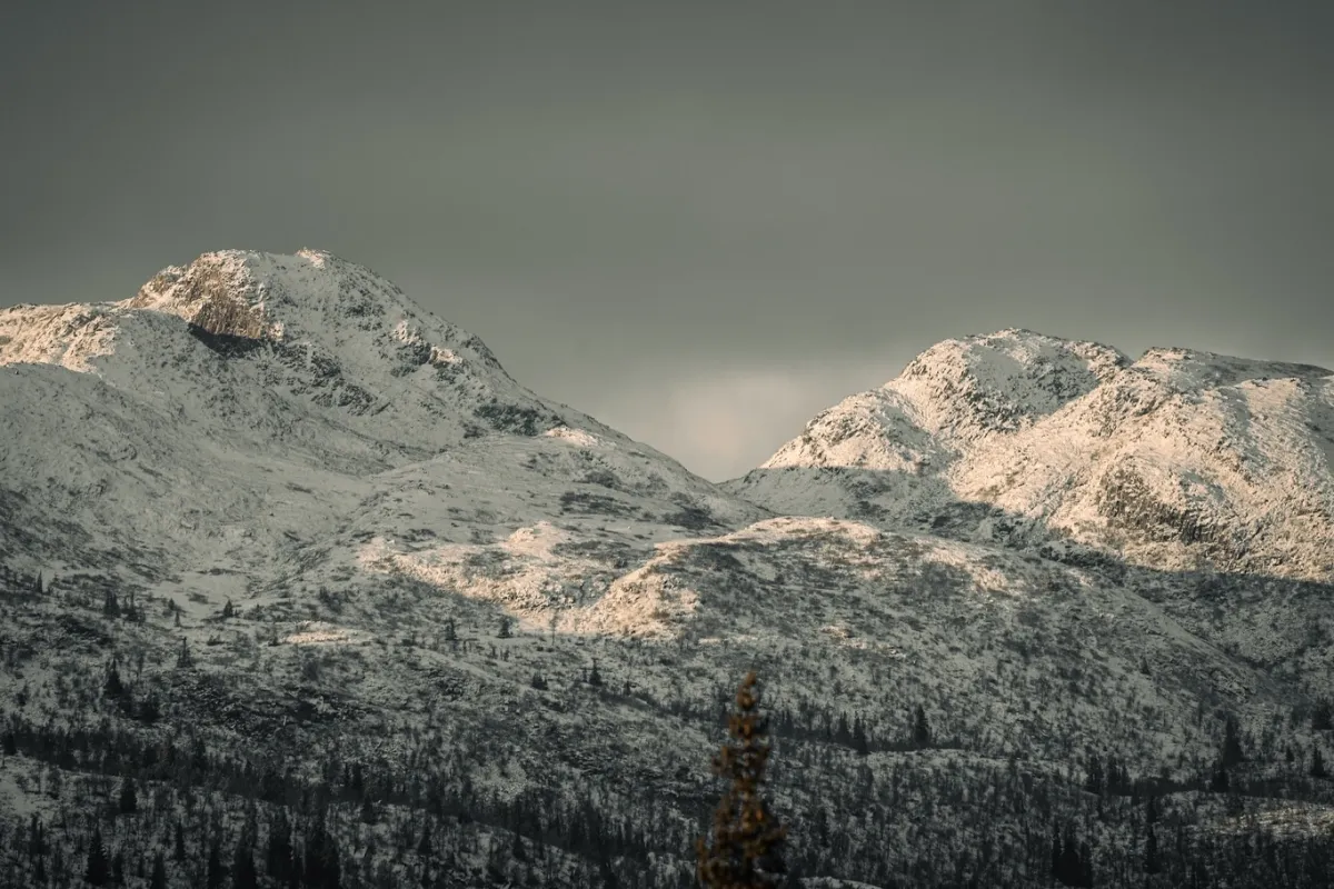
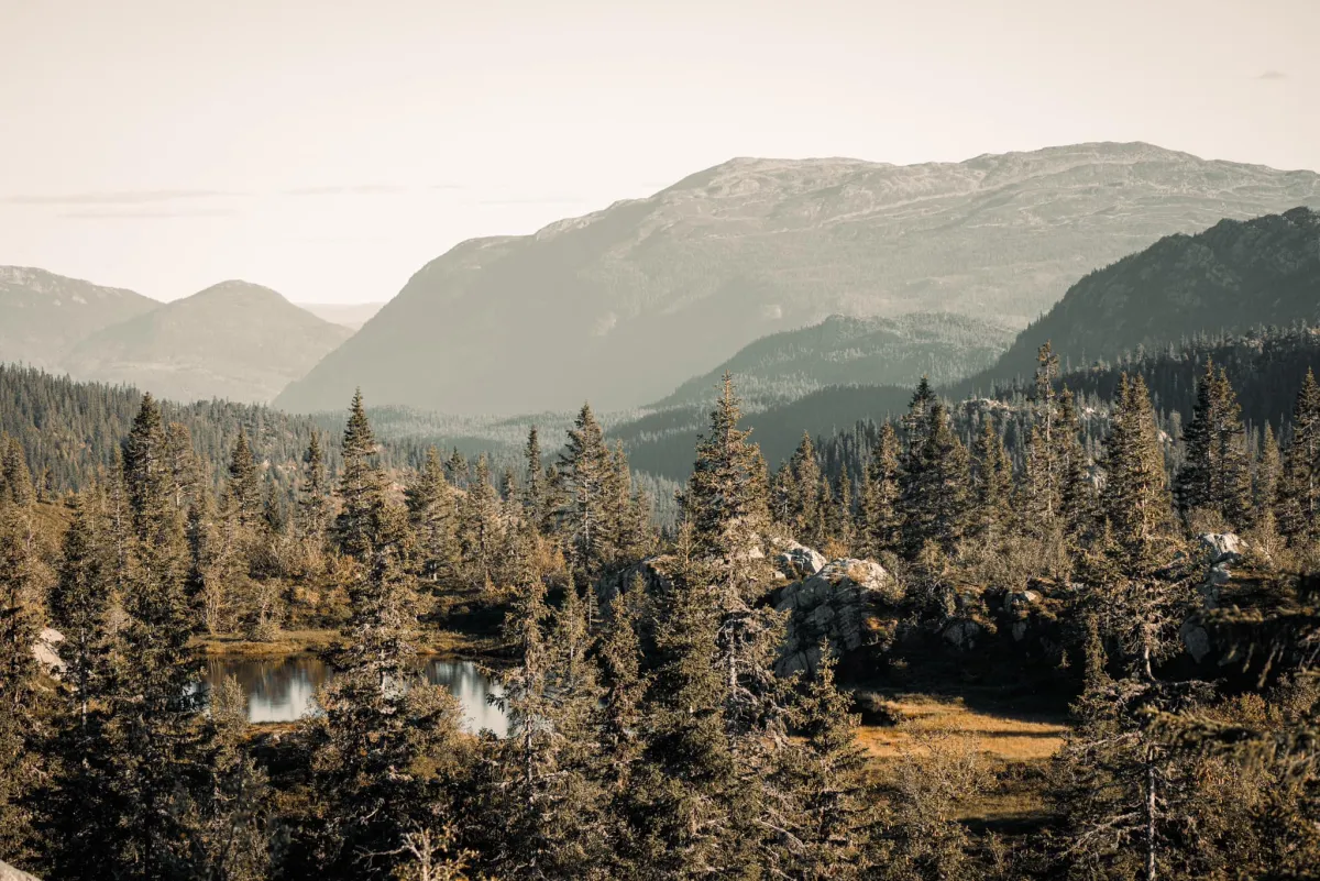
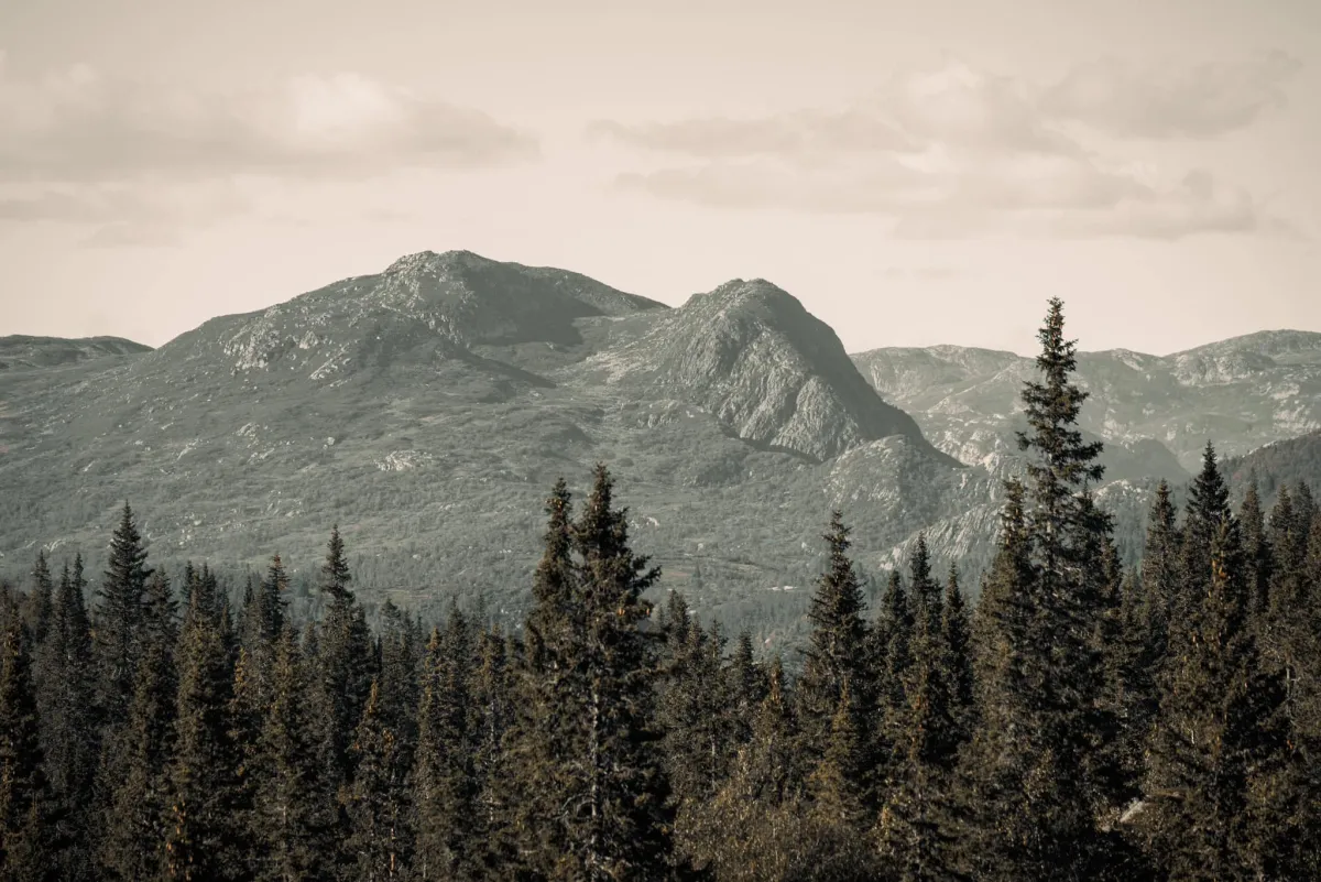
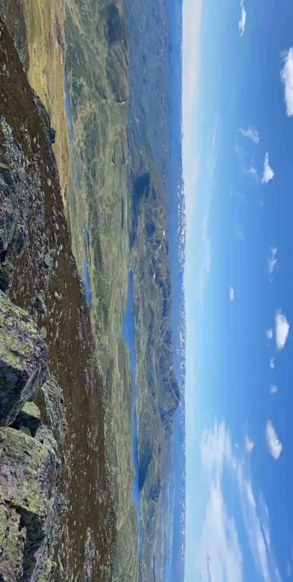
Brattefjell (1540 moh) er eit imponerande fjellmassiv som tronar høgt over Åmotsdal og områda rundt. Det er ein av dei høgaste toppane i Vest-Telemark, og eit ettertrakta mål for turvande som vil ha både utfordring og utsikt i høgfjellet.
Rute 1: Frå Sudbø og Sansetvegen (7,7 km ein veg)
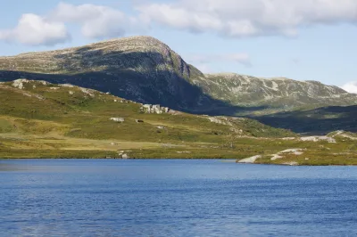
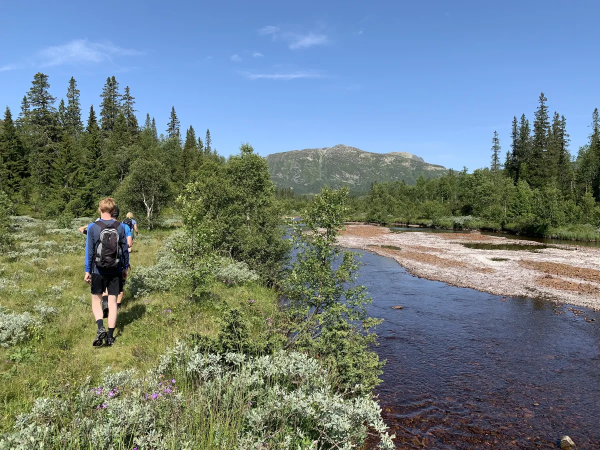
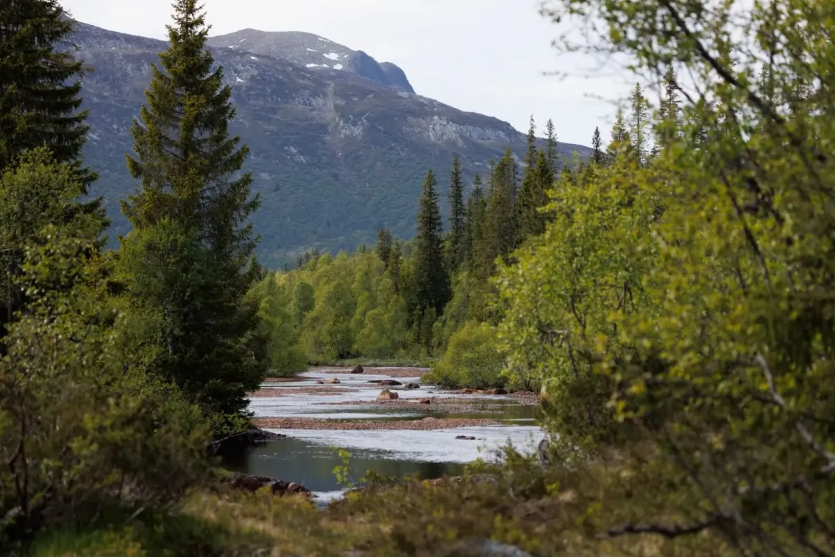
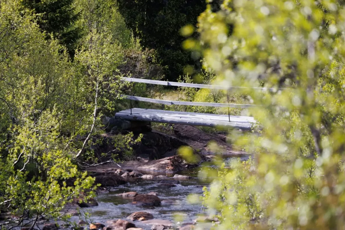
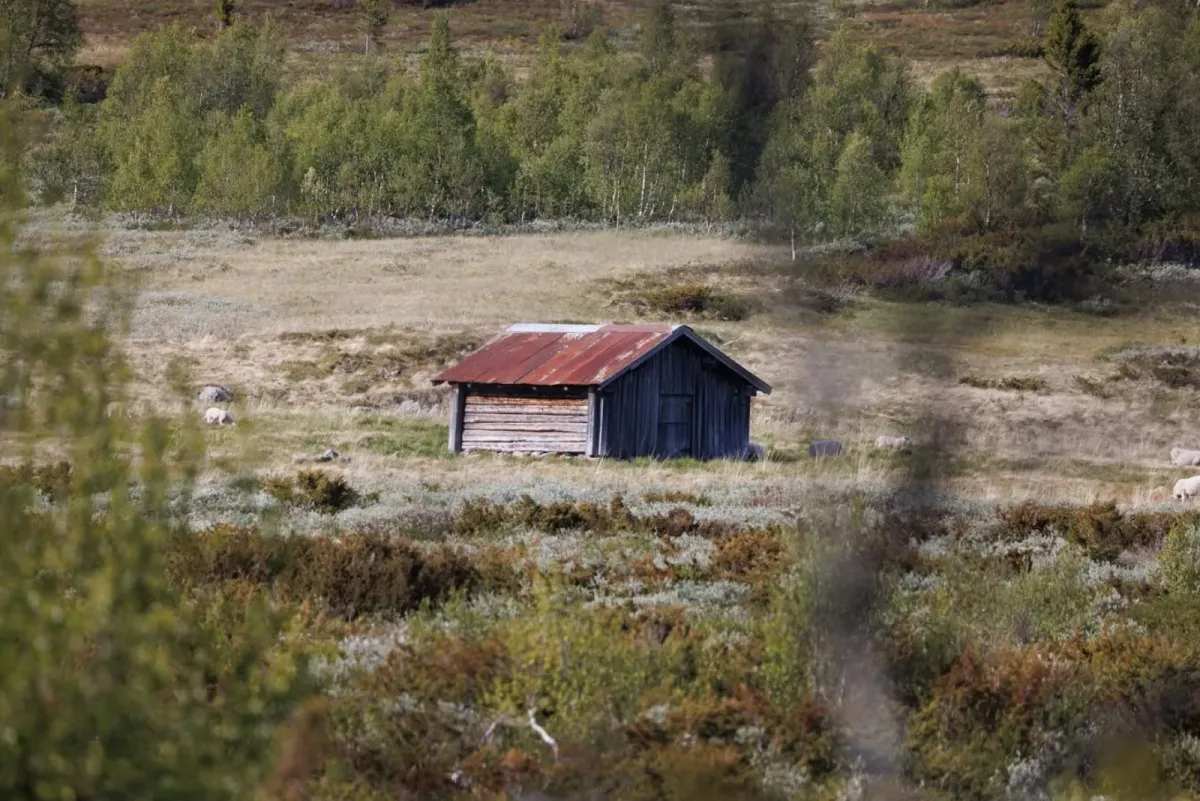
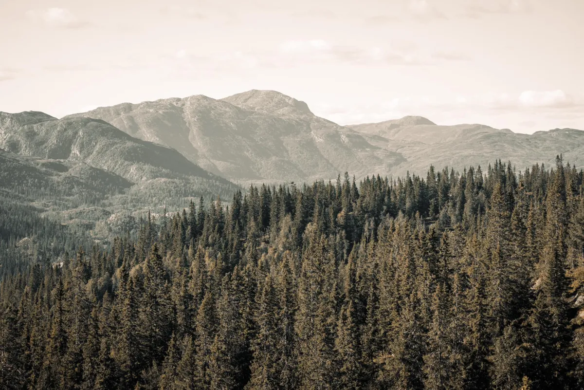
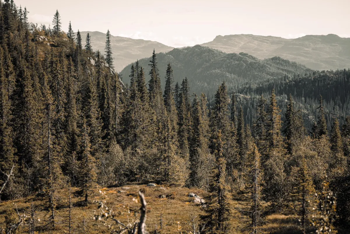
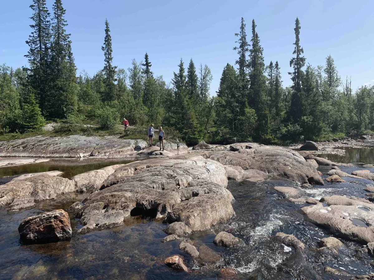
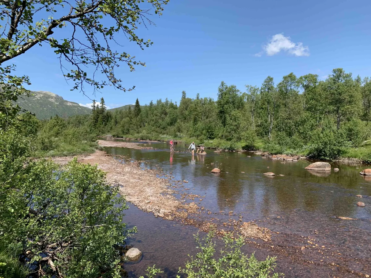
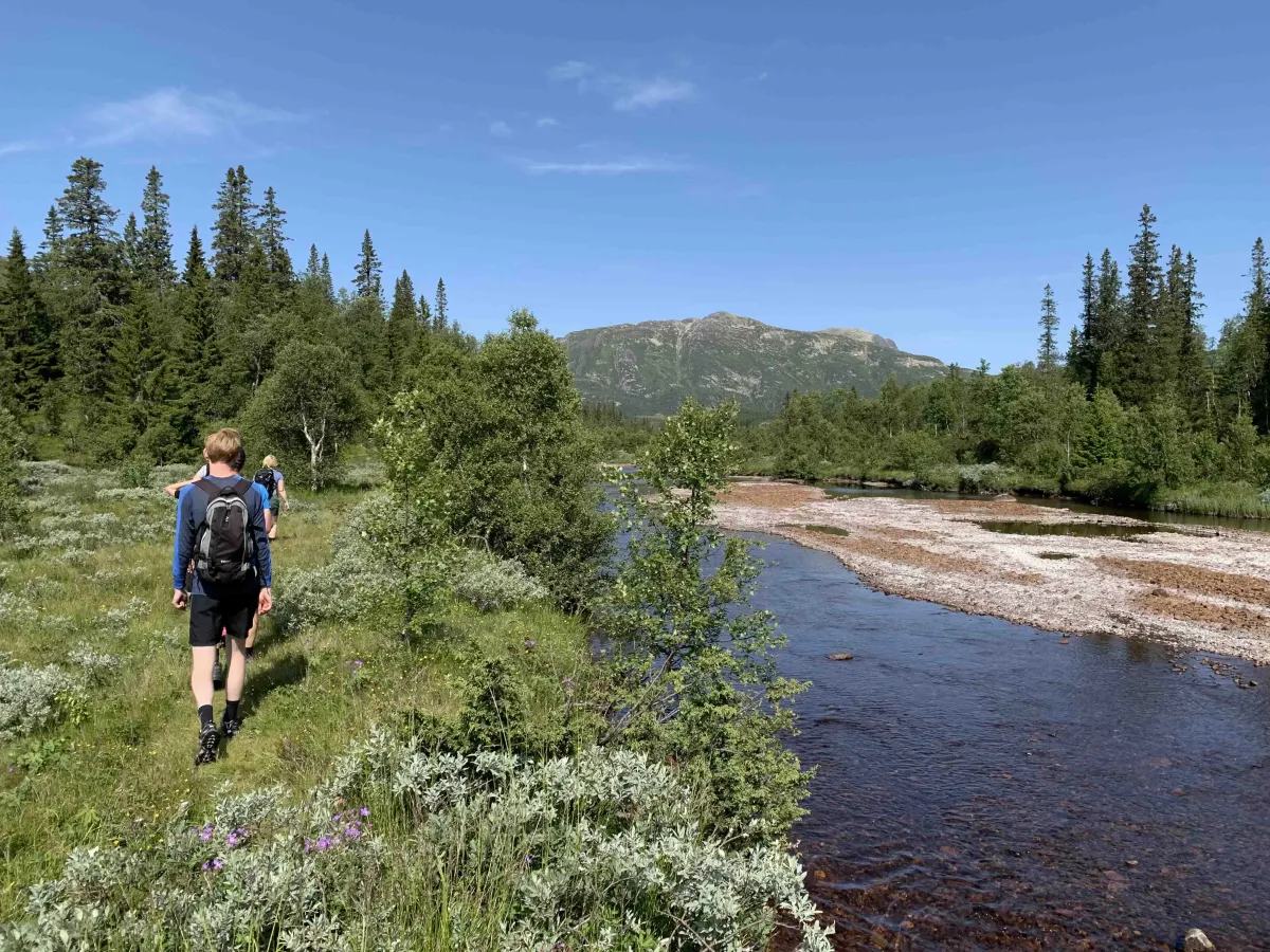
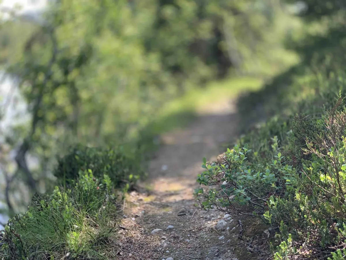
Turen startar frå Sudbø i Åmotsdal og følgjer Sansetvegen oppover. Herfrå går du på stødig sti og fjelltråkk gjennom variert terreng – frå bjørkeskog til ope fjell. Turen er på 7,7 km éin veg, og vart nyleg tracka av Terje Nordstoga, noko som gir god tryggleik for rutevalet.
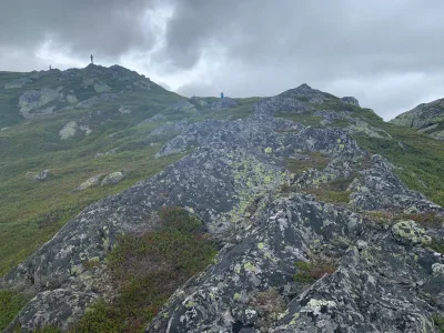
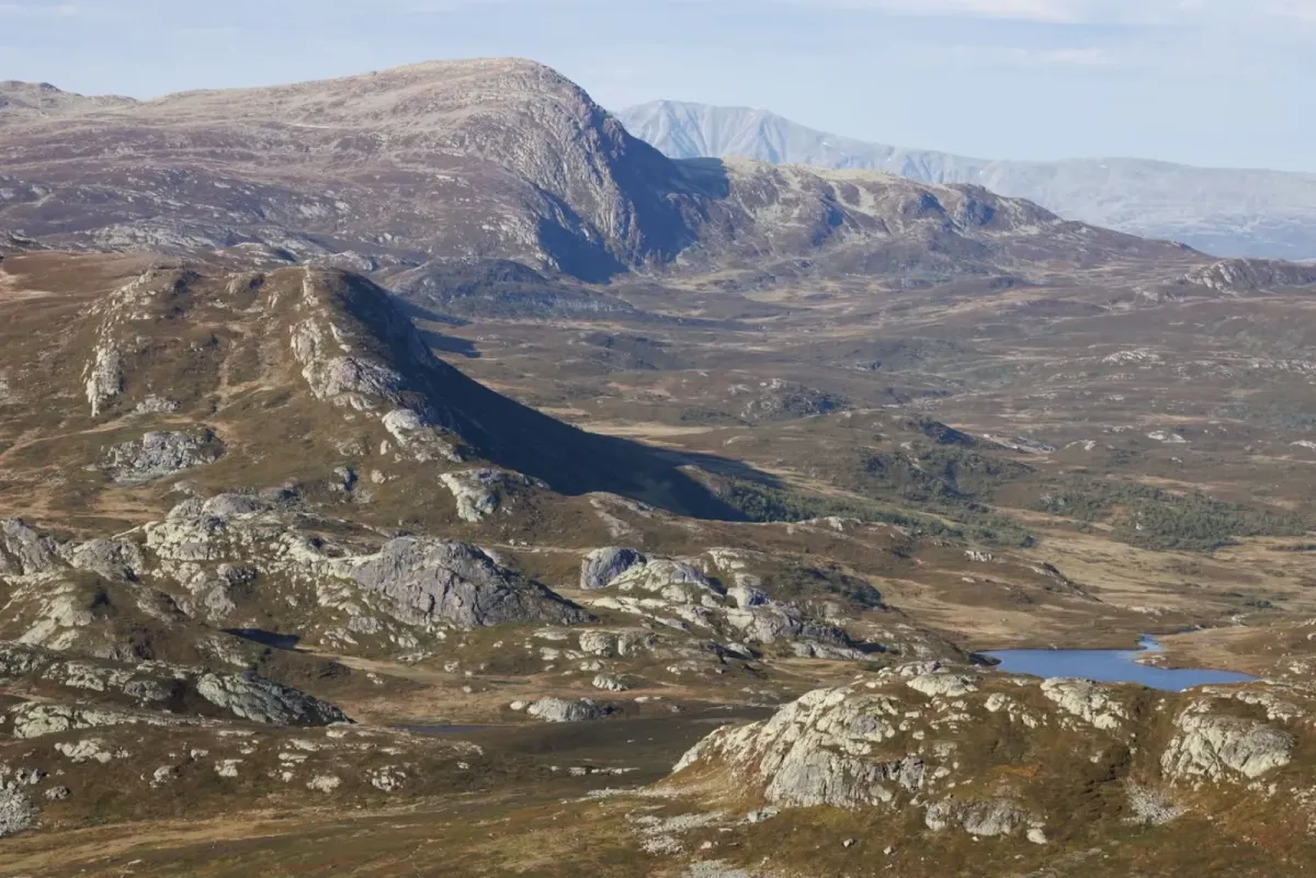
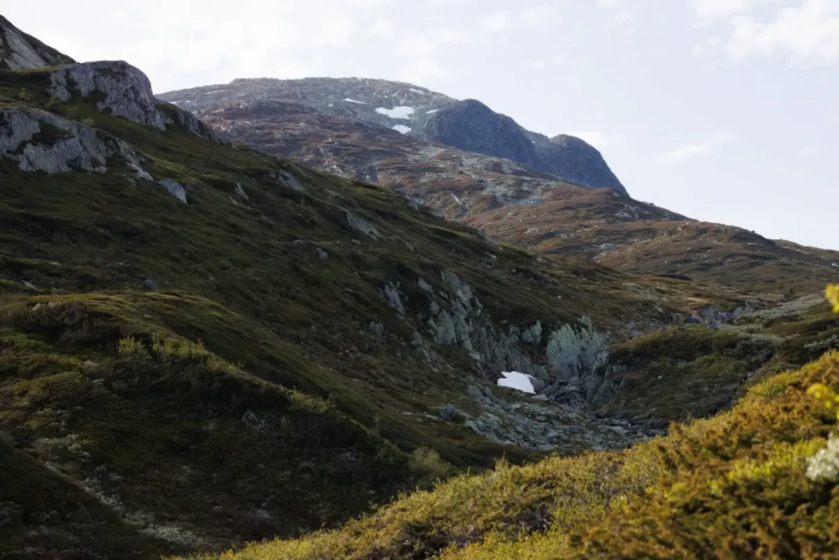
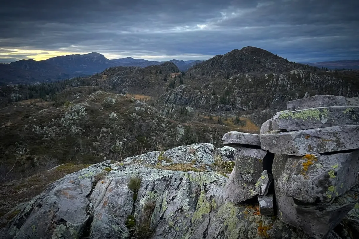
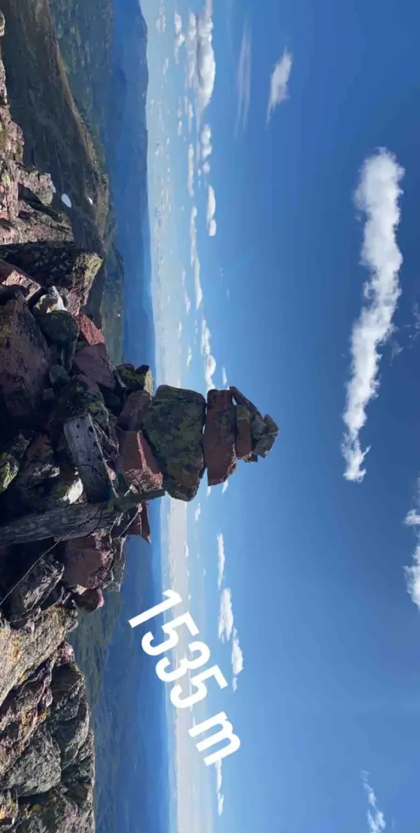
Stien går jamt oppover med enkelte bratte parti, før han flatar ut i høgfjellsterrenget. På toppen ventar eit luftig utsyn over Gaustatoppen, Blefjell, Lifjell, Setesdalsheiane – og heilt inn i fjellmassiva i Sør-Noreg.
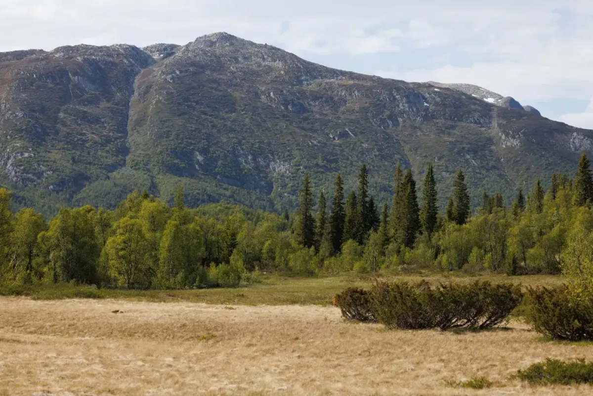
Rute 2: Frå Småtjønn via Heiåivegen i Åmotsdal (9,7 km ein veg)
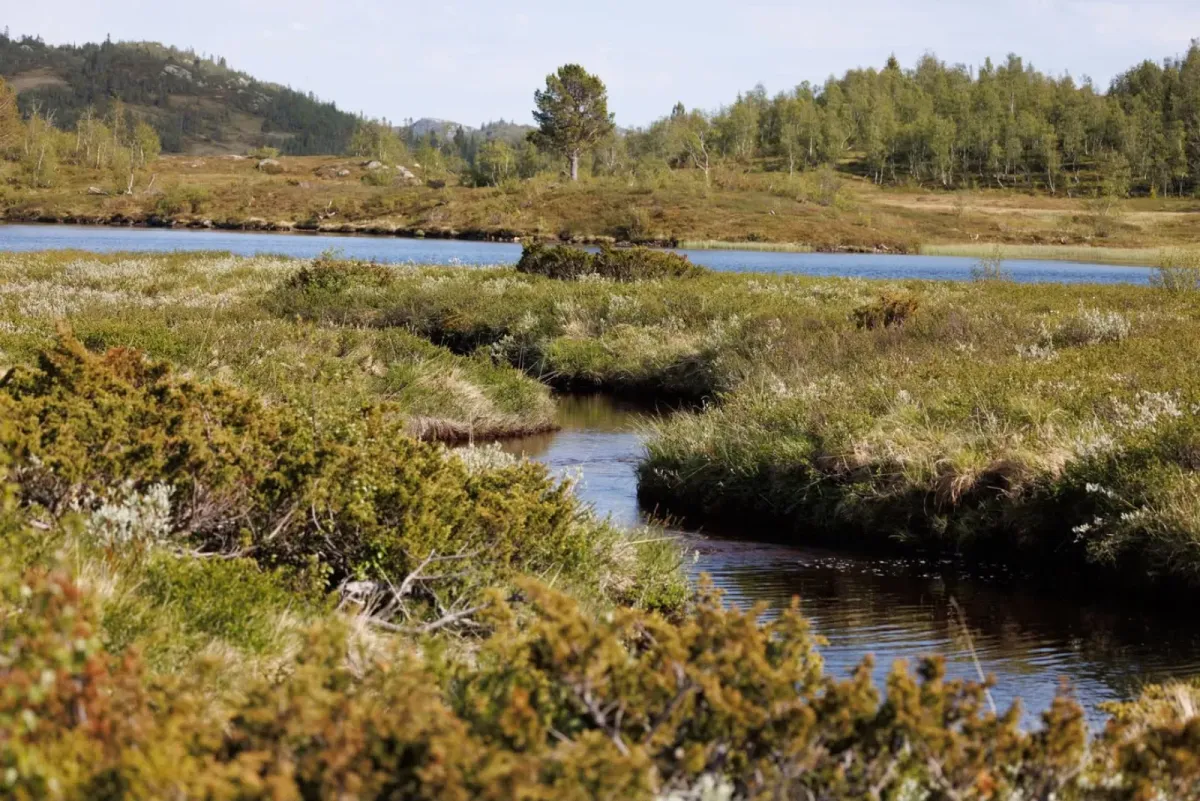
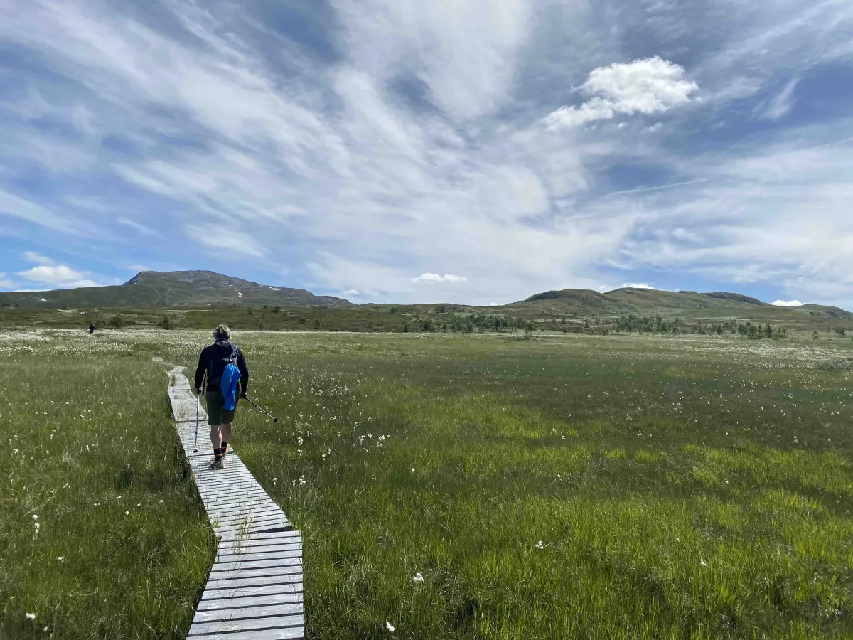
Eit lengre alternativ går frå Småtjønn, heilt i enden av Heiåivegen. Denne ruta er om lag 9,7 km éin veg, og går i meir opna fjellterreng heile vegen. Dette er ein rolegare stigning, men med lengre distanse. Mange vel å gå opp her og ned att via Sudbø, som ein lang og innhaldsrik dagstur.
Fakta om turen:
– Høgaste punkt: 1540 moh
– Lengde: 7,7–9,7 km éin veg, alt etter rute
– Stigning: Om lag 800–900 høgdemeter
– Nivå: Krevjande – for fjellvande med god kondisjon
Turtips:
– Brattefjell er ope og vêrhardt – ta med vindtette klede og sjekk vêrvarslinga.
– Gode fjellsko er eit must.
– Mobildekning kan vere varierande – meld frå heime.
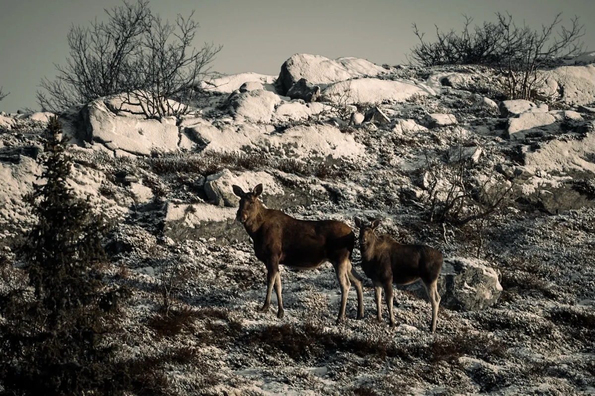
– Dette er rein høgfjellsoppleving – med lang ro og få folk.
Brattefjell (1540 moh) er eit imponerande fjellmassiv som tronar høgt over Åmotsdal og områda rundt. Det er ein av dei høgaste toppane i Vest-Telemark, og eit ettertrakta mål for turvande som vil ha både utfordring og utsikt i høgfjellet.
Rute 1: Frå Sudbø og Sansetvegen (7,7 km ein veg)
Turen startar frå Sudbø i Åmotsdal og følgjer Sansetvegen oppover. Herfrå går du på stødig sti og fjelltråkk gjennom variert terreng – frå bjørkeskog til ope fjell. Turen er på 7,7 km éin veg, og vart nyleg tracka av Terje Nordstoga, noko som gir god tryggleik for rutevalet.
Stien går jamt oppover med enkelte bratte parti, før han flatar ut i høgfjellsterrenget. På toppen ventar eit luftig utsyn over Gaustatoppen, Blefjell, Lifjell, Setesdalsheiane – og heilt inn i fjellmassiva i Sør-Noreg.
Rute 2: Frå Småtjønn via Heiåivegen i Åmotsdal (9,7 km ein veg)
Eit lengre alternativ går frå Småtjønn, heilt i enden av Heiåivegen. Denne ruta er om lag 9,7 km éin veg, og går i meir opna fjellterreng heile vegen. Dette er ein rolegare stigning, men med lengre distanse. Mange vel å gå opp her og ned att via Sudbø, som ein lang og innhaldsrik dagstur.
Fakta om turen:
– Høgaste punkt: 1540 moh
– Lengde: 7,7–9,7 km éin veg, alt etter rute
– Stigning: Om lag 800–900 høgdemeter
– Nivå: Krevjande – for fjellvande med god kondisjon
Turtips:
– Brattefjell er ope og vêrhardt – ta med vindtette klede og sjekk vêrvarslinga.
– Gode fjellsko er eit must.
– Mobildekning kan vere varierande – meld frå heime.
– Dette er rein høgfjellsoppleving – med lang ro og få folk.
Bilete (27)
1 / 27
Video (1)
Brattefjell og Svafjell tur 2025
Turbilder (9)
1 / 9
Praktisk info
- Retning
- tur-retur
- Sesong
- Sommar
- Stigkvalitet
- 2/5
- Einsemd
- 5/5
Har du gode turtips?
Åmotsdal
Telemark
fintur.no
Telemark
fintur.no