Raudkleiv Up!
Vêrvarsel
Hentar vêrdata…
Kjelde: Yr.no (Meteorologisk institutt)
Kart og rute
S Start
M Mål
▲ Høgaste punkt
▼ Lågaste punkt
km Hovudrute
↕ m Stigning
Om turen
Raudkleiv opp! – bratt og flott motbakketur frå Dyrskuplassen
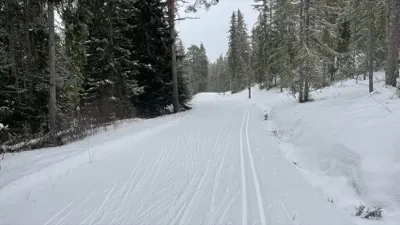
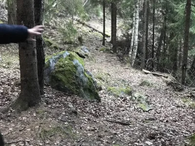
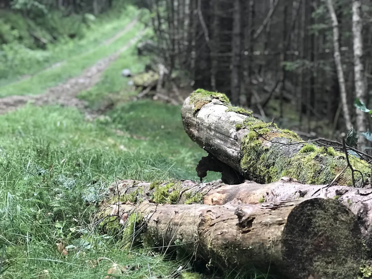
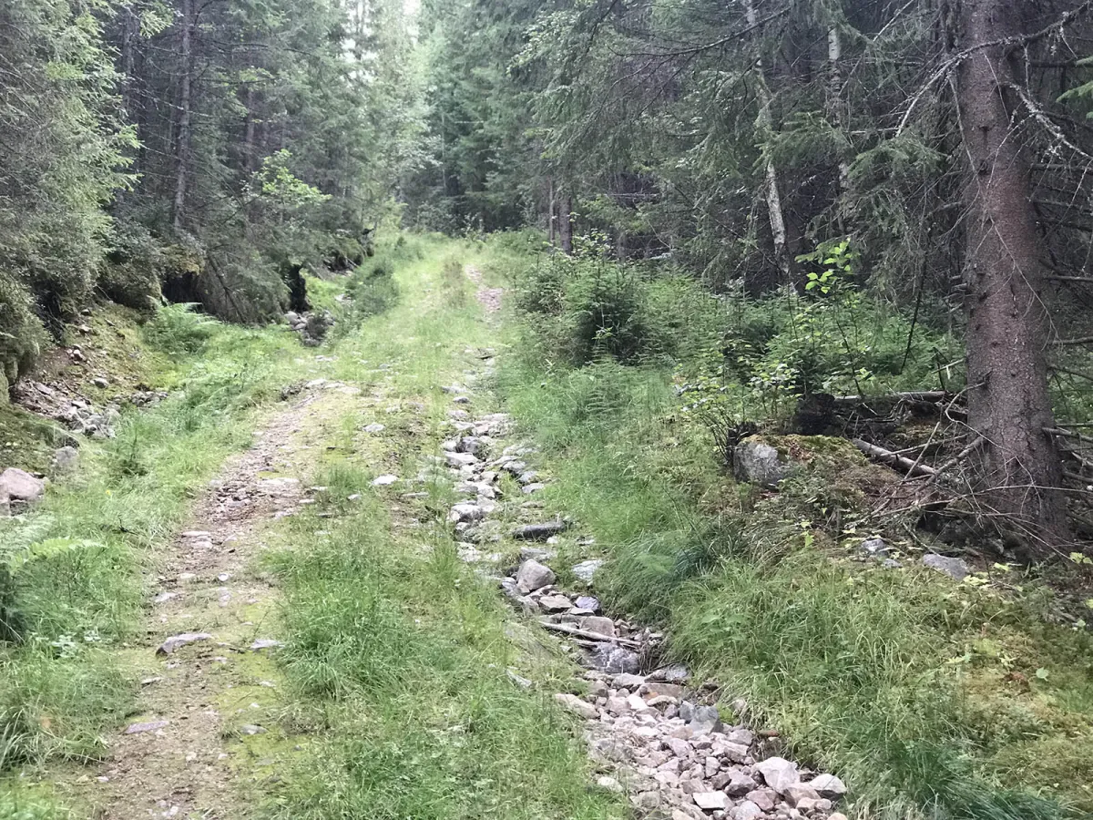
Dette er ein kort, men kraftig motbakketur frå Dyrskuplassen i Seljord og heilt opp til skianlegget på Raudkleiv. Ruta er om lag 3 km lang, og går jamt og bratt oppover – perfekt for deg som vil ha puls, utfordring og flotte naturopplevingar på vegen.
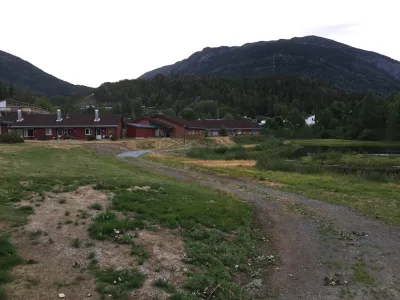
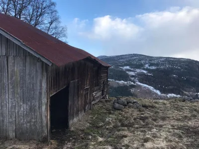
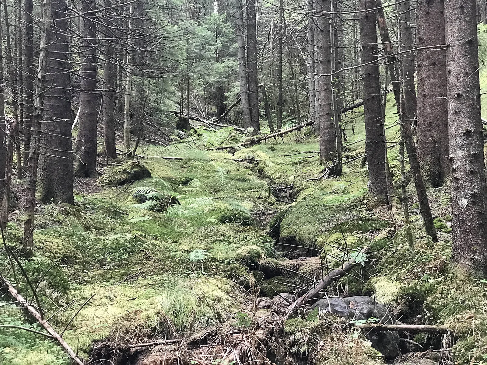
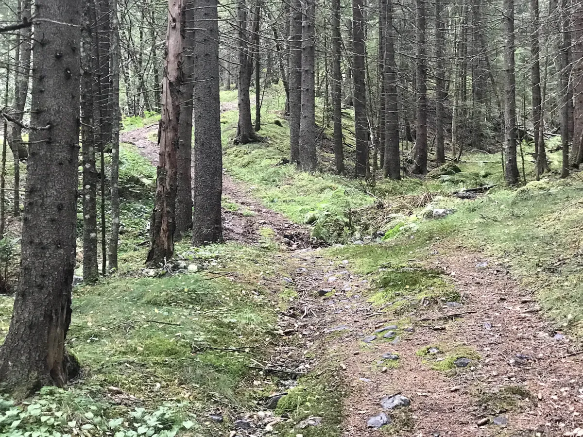
Turen startar ved Dyrskuplassen, over den gamle brua og under den nye vegen, før stien slyngar seg oppover gjennom tett og variert skogsterreng. Undervegs får du mange fine glimt og små utsiktspunkt, og på toppen ventar open skog og oversyn over Raudkleivområdet.
Dette er òg løypa som blir brukt til det årlege motbakkeløpet “Raudkleiv Up!” – og om du klarer å slå rekorden på rundt 17 minutt, ja, då er du god! Men dei fleste brukar noko lenger tid og nyt turen i sitt eige tempo.
Lengde: Ca. 3 km éin veg
Tid: 40–60 minutt opp
Stigning: Bratt
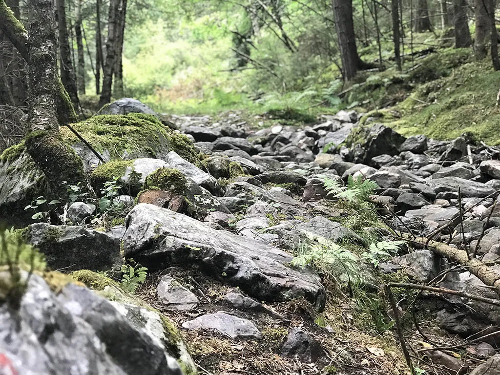
Terreng: Skogssti, berg, litt røter
Vanskegrad: Middels til krevjande
Passar for: Motbakketrening, skogstur med utsikt, rask og intens tur
Dette er ein kort, men kraftig motbakketur frå Dyrskuplassen i Seljord og heilt opp til skianlegget på Raudkleiv. Ruta er om lag 3 km lang, og går jamt og bratt oppover – perfekt for deg som vil ha puls, utfordring og flotte naturopplevingar på vegen.
Turen startar ved Dyrskuplassen, over den gamle brua og under den nye vegen, før stien slyngar seg oppover gjennom tett og variert skogsterreng. Undervegs får du mange fine glimt og små utsiktspunkt, og på toppen ventar open skog og oversyn over Raudkleivområdet.
Dette er òg løypa som blir brukt til det årlege motbakkeløpet “Raudkleiv Up!” – og om du klarer å slå rekorden på rundt 17 minutt, ja, då er du god! Men dei fleste brukar noko lenger tid og nyt turen i sitt eige tempo.
Lengde: Ca. 3 km éin veg
Tid: 40–60 minutt opp
Stigning: Bratt
Terreng: Skogssti, berg, litt røter
Vanskegrad: Middels til krevjande
Passar for: Motbakketrening, skogstur med utsikt, rask og intens tur
Bilete (4)
1 / 4
Video (1)
Raudkleiv Up! - turen
Praktisk info
- Retning
- tur-retur
- Sesong
- Sommar
- Stigkvalitet
- 3/5
- Einsemd
- 3/5
Har du gode turtips?
Seljord
Telemark
fintur.no
Telemark
fintur.no