Blåfjell
Fee
The road or car park has a fee. Bring small change. Some take cards and Vipps.
Weather forecast
Hentar vêrdata…
Kjelde: Yr.no (Meteorologisk institutt)
Map and route
S Start
M Finish
▲ Highest point
▼ Lowest point
km Main route
km Alternativ rute
↕ m Elevation
About this hike
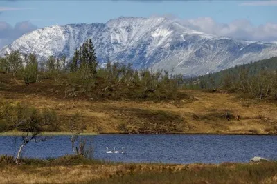
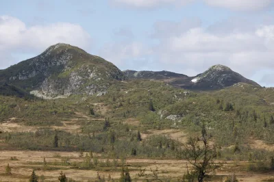
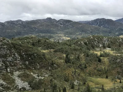
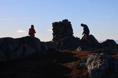
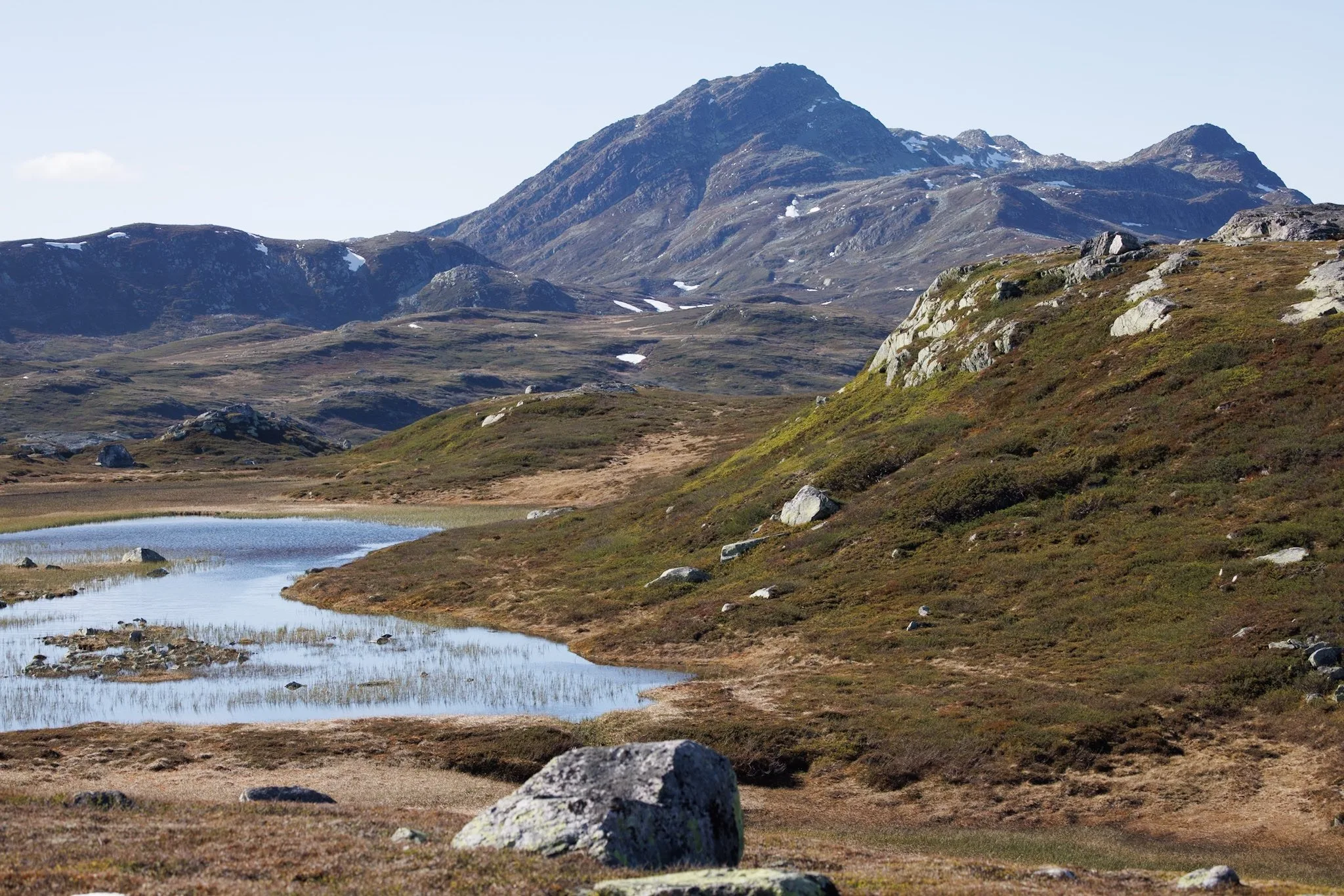
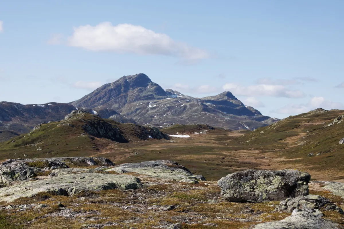
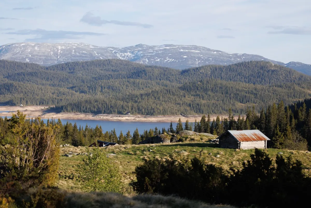
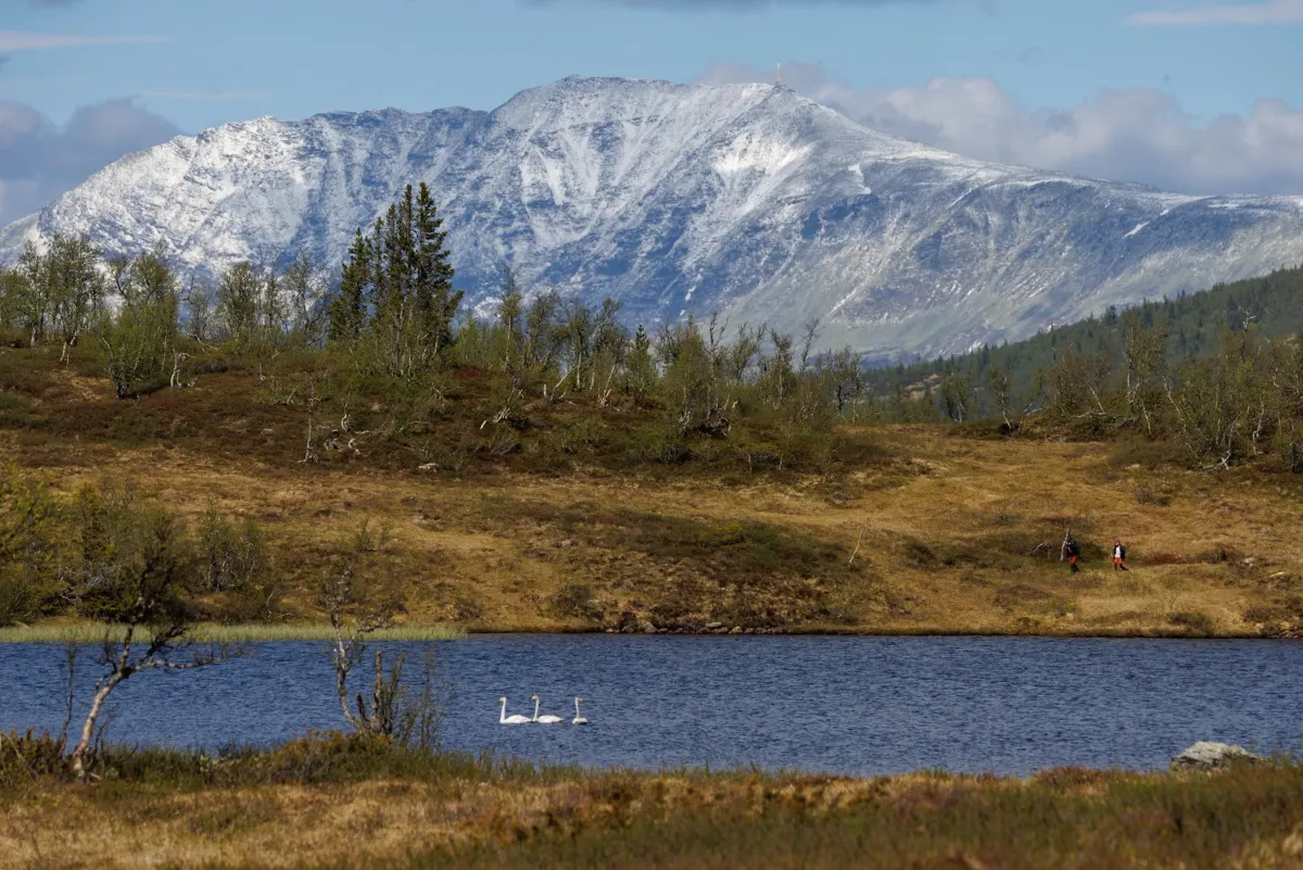
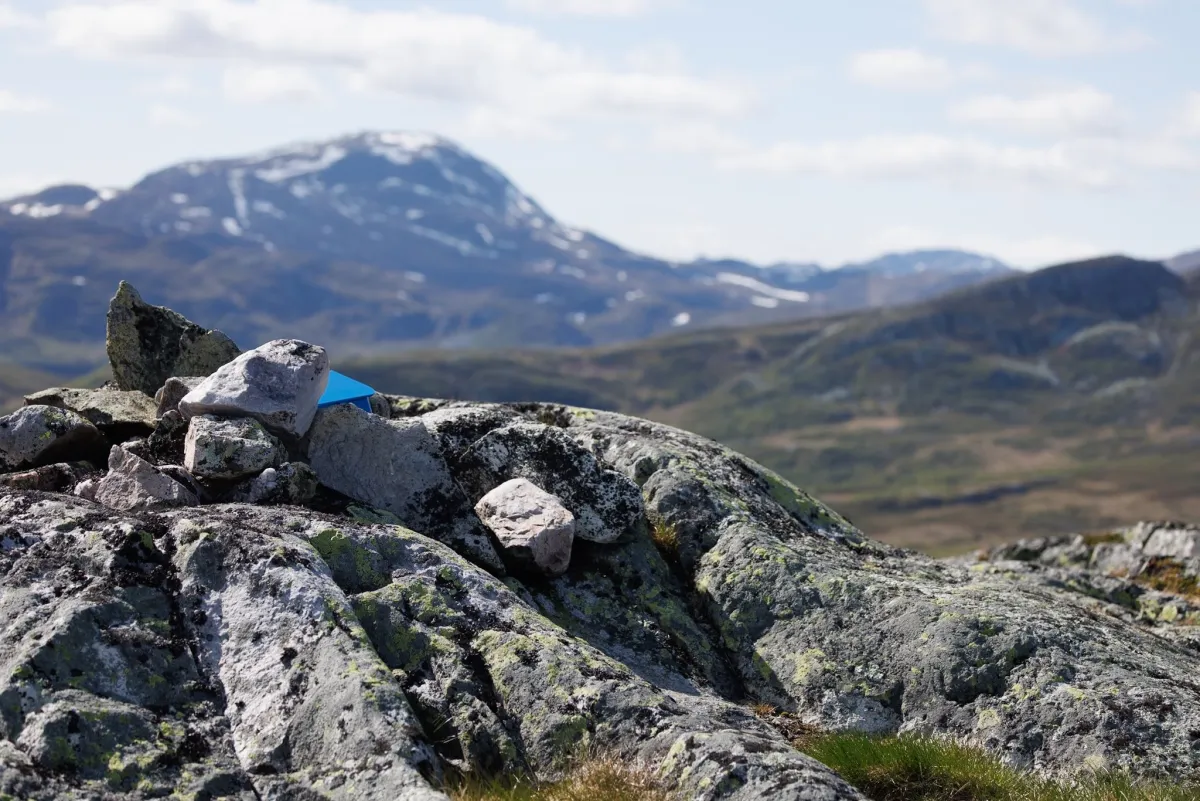
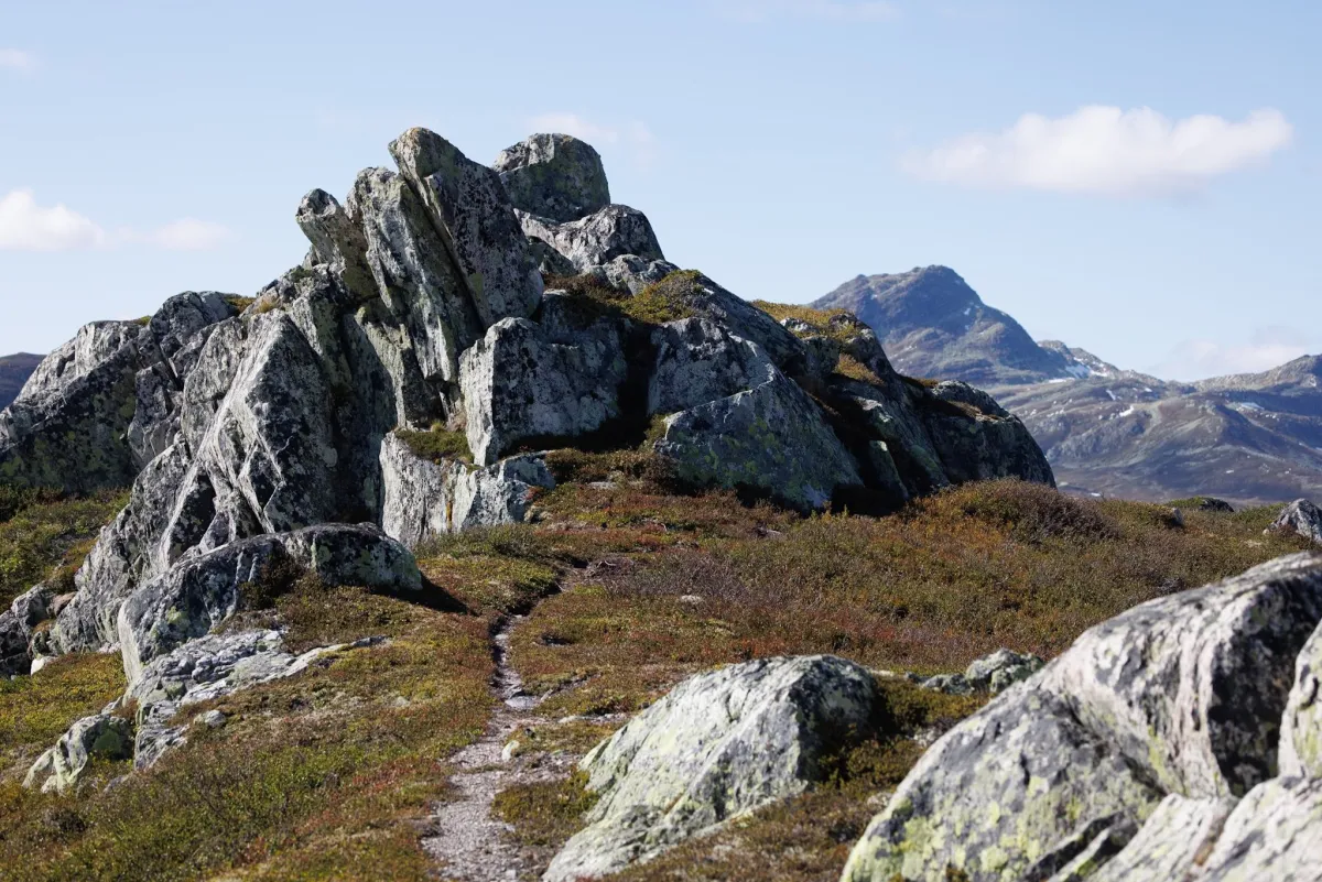
Blåfjell. Into Hjartdal's part of the conservation area in Vindeggen. In to the wild. And into the beauty. This is one of the most beautiful areas I've ever seen. The blue mountains south of Vindeggen itself lie there like a natural wonder. If you also want entertainment with Gaustatoppen and Brattefjell in sight, you'll find it here all the time. A majestic sight. But it's a long way from Breivatn. Up Vikedal, past Lauvhaug. 12.5 km on paths, in marshes and on rocks. Up past Ståvåtjønn (with its 3 swans) and Lekkjenuten at 1139 meters above sea level (hiking destination with mailbox). From there, you walk along the ridge of Blåfjell. Then, you can take the other ridge, further out, back home. A total of 680 m and 24 km (you have to walk 1.2 km from the barrier to the start of the trail). This is in the Brattefjell/Vindeggen protected area and therefore not well marked. The use of GPS is a must. It is easy to go into the wrong valley.
Photos (5)
1 / 5
Videos (1)
Blåfjell frå Breivatn
Practical info
- Direction
- tur-retur
- Season
- Summer
- Trail quality
- 2/5
- Solitude
- 8/5
Got any good trail tips?
Hjartdal
Telemark
fintur.no
Telemark
fintur.no