Blomtjønneggin

Weather forecast
Hentar vêrdata…
Kjelde: Yr.no (Meteorologisk institutt)
Map and route
S Start
M Finish
▲ Highest point
▼ Lowest point
km Main route
km Alternativ rute
↕ m Elevation
About this hike
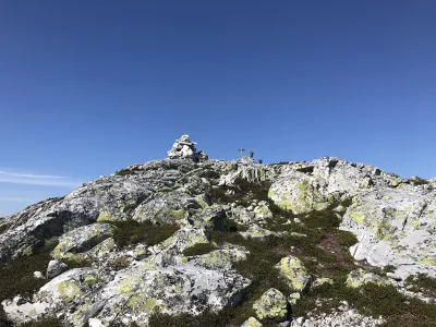
Blomtjønneggin - a viewpoint in the heart of Lifjell
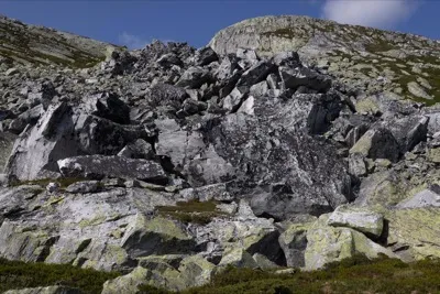
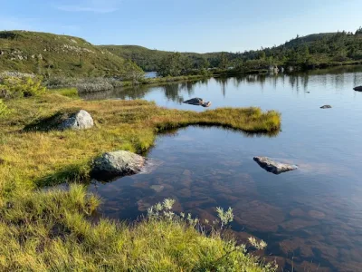
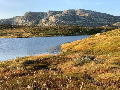
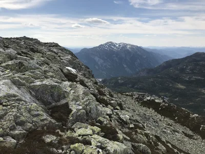
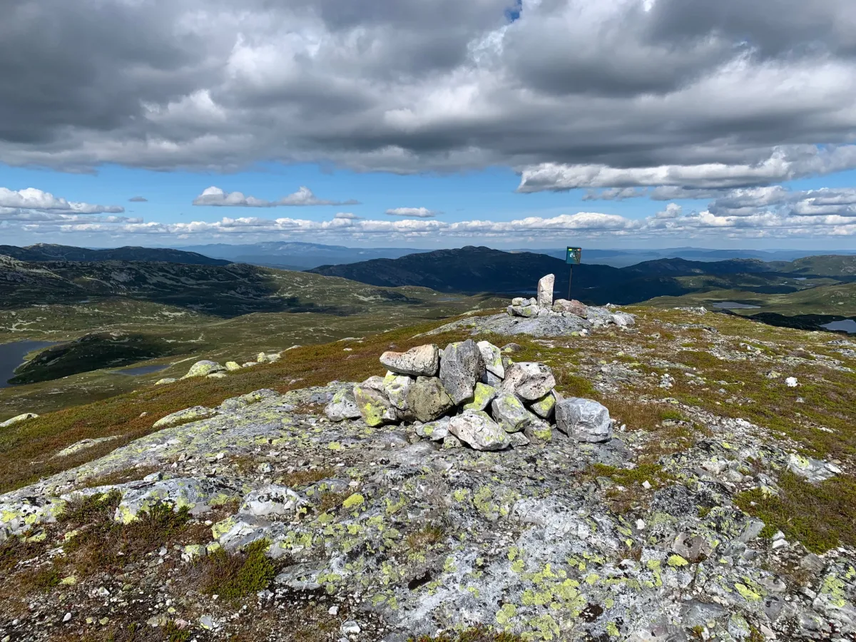
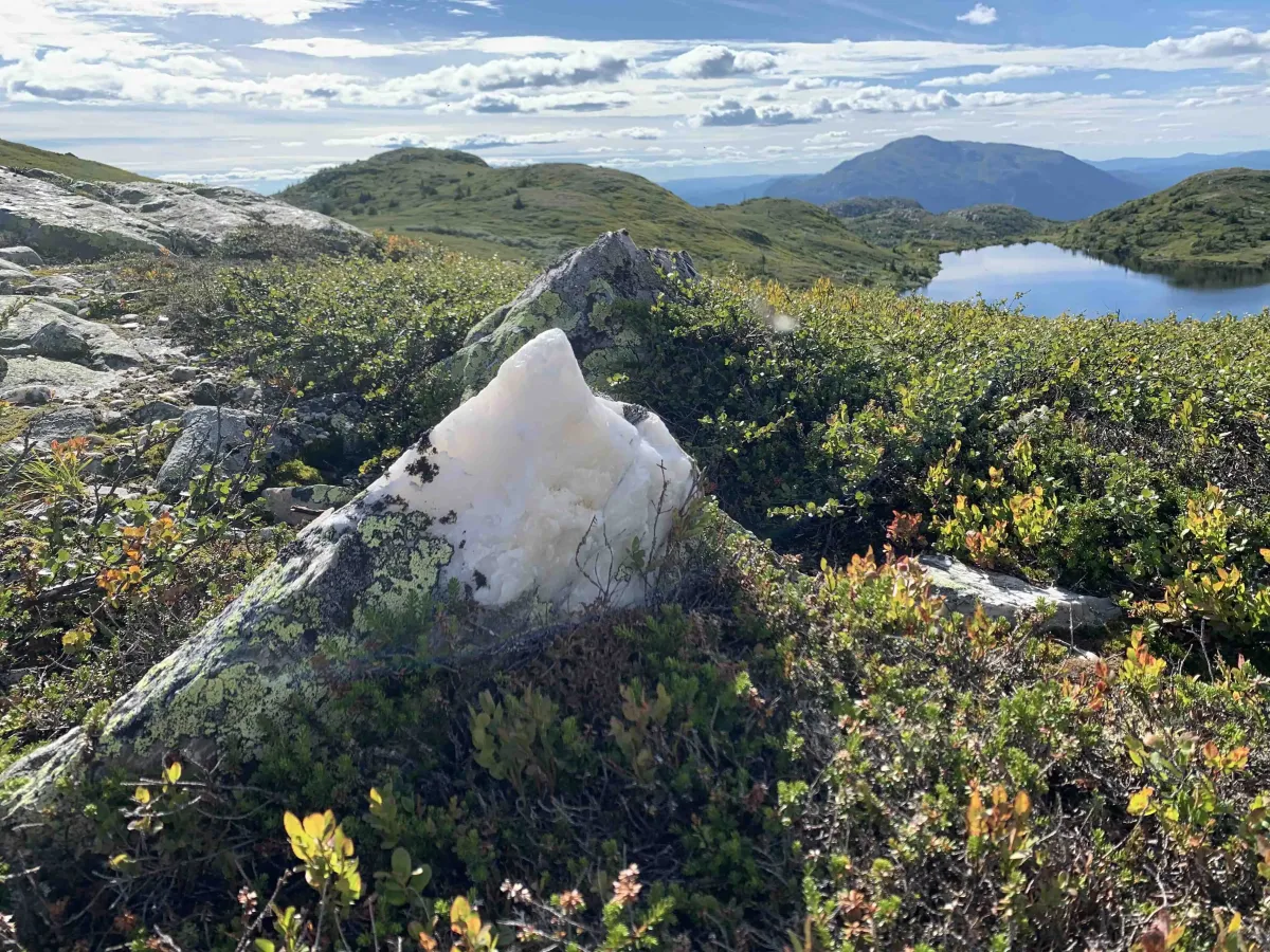
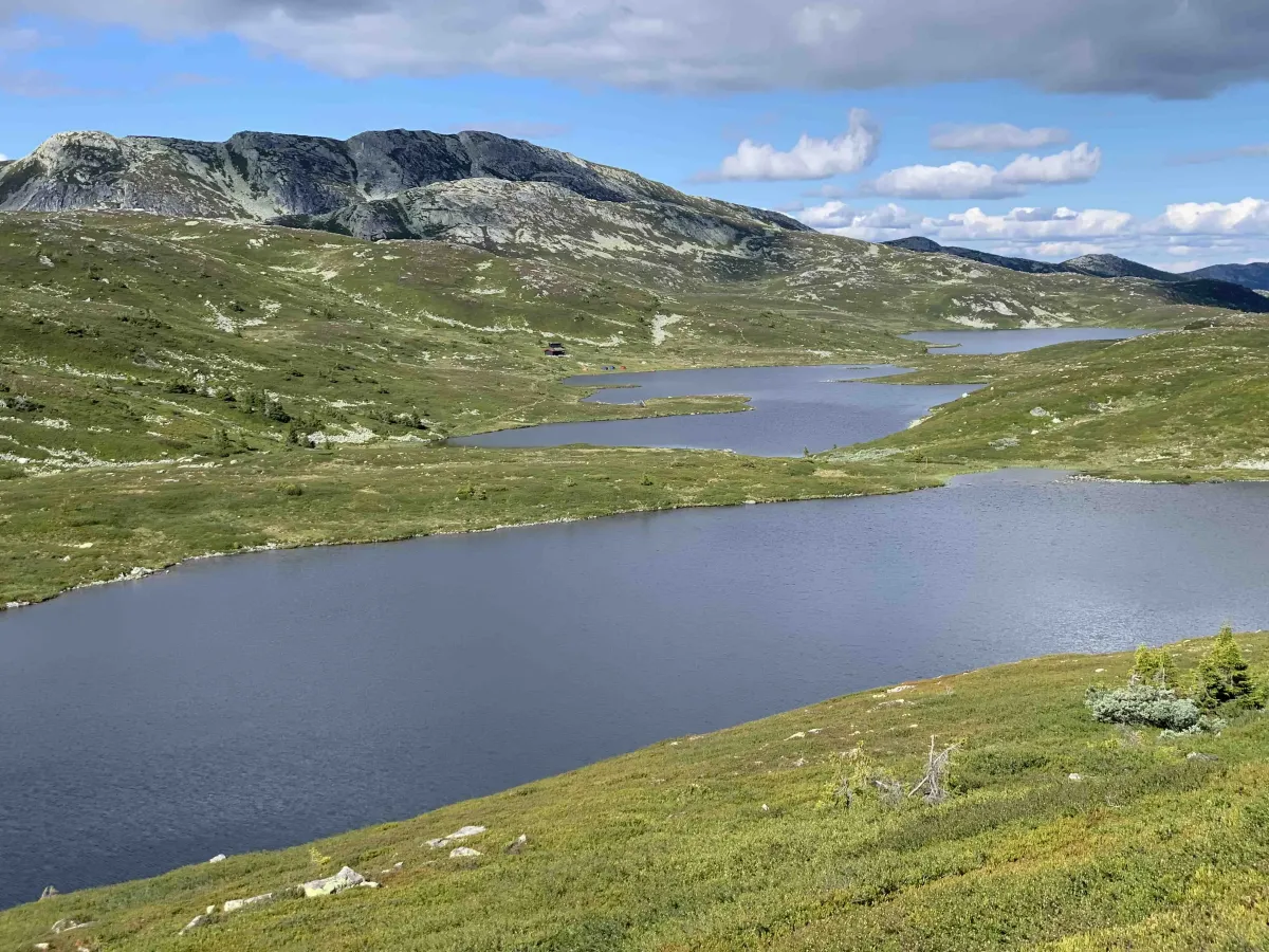
Blomtjønneggin is an airy vantage point in the middle of the Lifjell plateau, surrounded by water, nuts and wide views. From the top you can see Tjorbuvatna on one side, and Astridnatten and Troganatten on the other. Hallane spreads out in front of you, and in the back you have a view towards Skorvefjell and the blue mountain ranges in the distance.
Starting point:
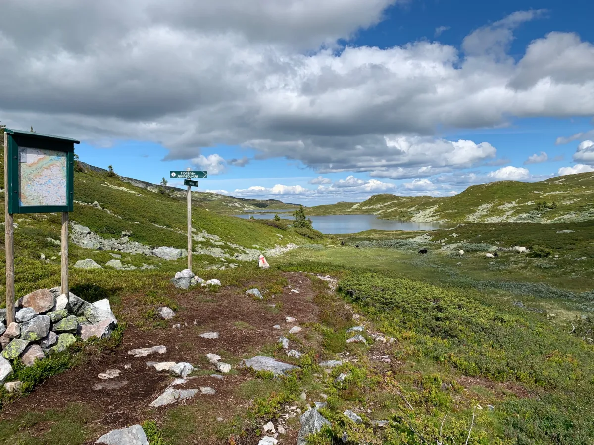
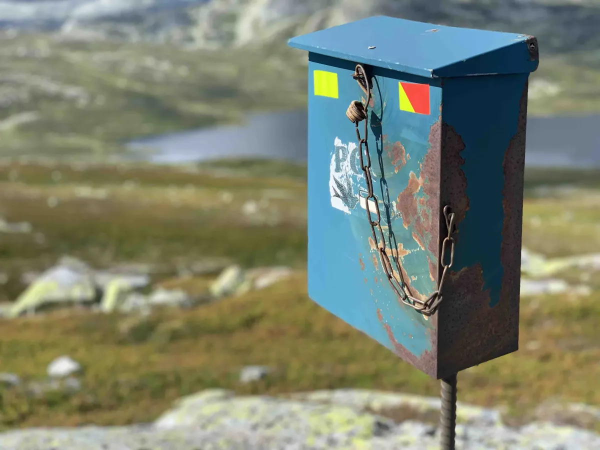
To get here, drive to Grimås, where there is ample parking. From there, follow the path up towards Tjorbuvatna - a well-known and beloved mountain area for many in Bø and central Telemark. When you approach the lake, turn right in the direction of Hollane, where the winter signage is located.
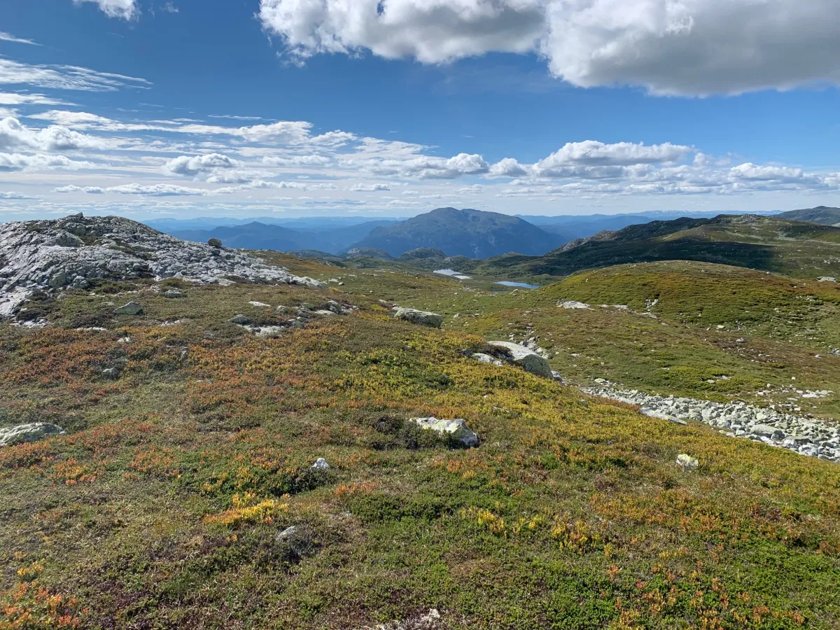
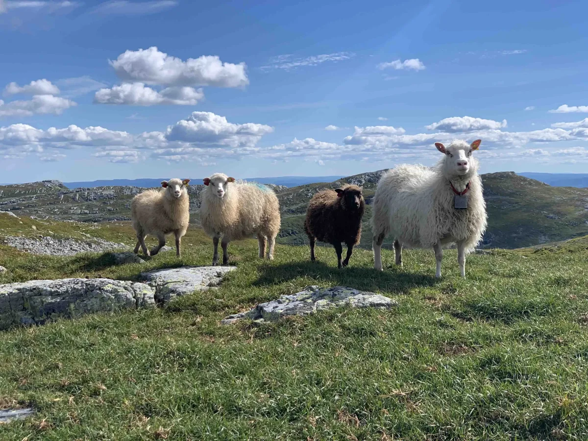
Between Vestre Tjorbuvatn and Lille Tjorbuvatn you will see the top of Blomtjønneggin right in front of you. The path is not clearly marked, but you can easily follow the slope upwards, where there are several sheep trails and small paths that lead you to the top. It may look longer than it is - from Vestre Tjorbu it's only around 1.5 km to the top.
If you're lucky, you'll hear or see a small waterfall up on the hillside - a beautiful and slightly funny feature in the landscape. Keep your eyes open!
Alternative routes:
You can also hike up via Tvitjønnan, or make a nice round trip that takes you through different parts of the Lifjell plateau. This provides variation in terrain and views, and is ideal for those who want to spend a whole day in the mountains.
Tour tips:
- The tour is suitable for experienced hikers, but is not technically demanding.
- Good shoes and clothing according to the weather are important - Lifjell is high and open.
- A map or GPS can be useful for finding the right trails in the open terrain.
- Enjoy the view - this is one of Lifjell's real gems!
Blomtjønneggin is an airy vantage point in the middle of the Lifjell plateau, surrounded by water, nuts and wide views. From the top you can see Tjorbuvatna on one side, and Astridnatten and Troganatten on the other. Hallane spreads out in front of you, and in the back you have a view towards Skorvefjell and the blue mountain ranges in the distance.
Starting point:
To get here, drive to Grimås, where there is ample parking. From there, follow the path up towards Tjorbuvatna - a well-known and beloved mountain area for many in Bø and central Telemark. When you approach the lake, turn right in the direction of Hollane, where the winter signage is located.
Between Vestre Tjorbuvatn and Lille Tjorbuvatn you will see the top of Blomtjønneggin right in front of you. The path is not clearly marked, but you can easily follow the slope upwards, where there are several sheep trails and small paths that lead you to the top. It may look longer than it is - from Vestre Tjorbu it's only around 1.5 km to the top.
If you're lucky, you'll hear or see a small waterfall up on the hillside - a beautiful and slightly funny feature in the landscape. Keep your eyes open!
Alternative routes:
You can also hike up via Tvitjønnan, or make a nice round trip that takes you through different parts of the Lifjell plateau. This provides variation in terrain and views, and is ideal for those who want to spend a whole day in the mountains.
Tour tips:
- The tour is suitable for experienced hikers, but is not technically demanding.
- Good shoes and clothing according to the weather are important - Lifjell is high and open.
- A map or GPS can be useful for finding the right trails in the open terrain.
- Enjoy the view - this is one of Lifjell's real gems!
Photos (3)
1 / 3
User photos (4)
1 / 4
Practical info
- Direction
- tur-retur
- Season
- Summer
- Trail quality
- 3/5
- Solitude
- 5/5
Got any good trail tips?
Seljord
Telemark
fintur.no
Telemark
fintur.no