Brattlinuten

Fee
The road or car park has a fee. Bring small change. Some take cards and Vipps.
Weather forecast
Hentar vêrdata…
Kjelde: Yr.no (Meteorologisk institutt)
Map and route
S Start
M Finish
▲ Highest point
▼ Lowest point
km Main route
↕ m Elevation
About this hike
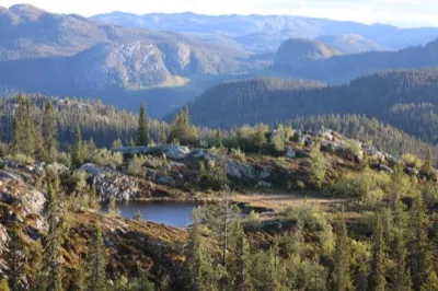
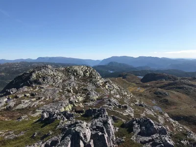
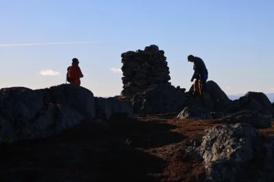
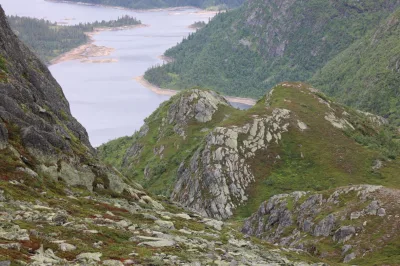
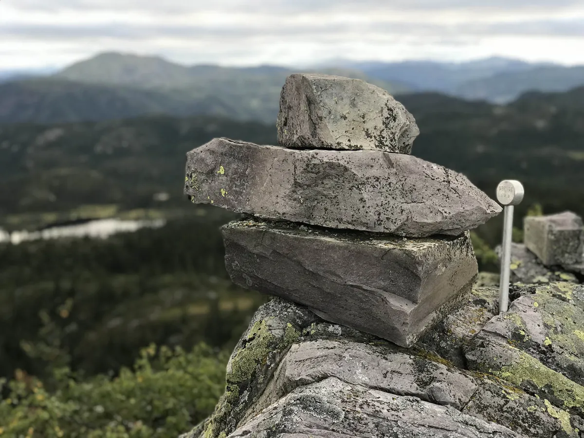
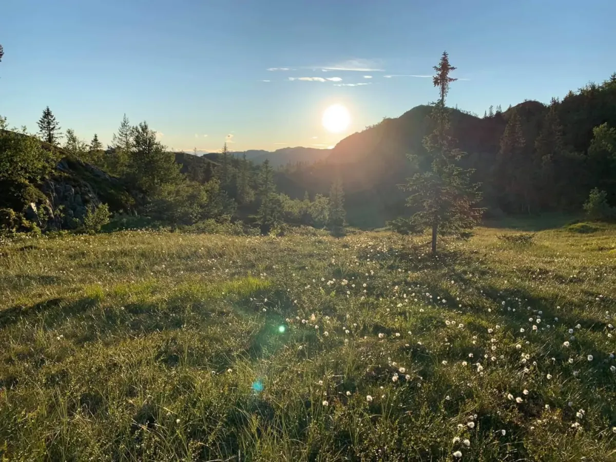
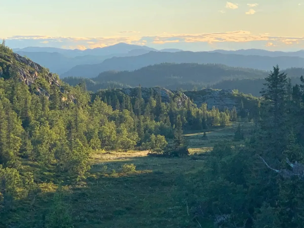
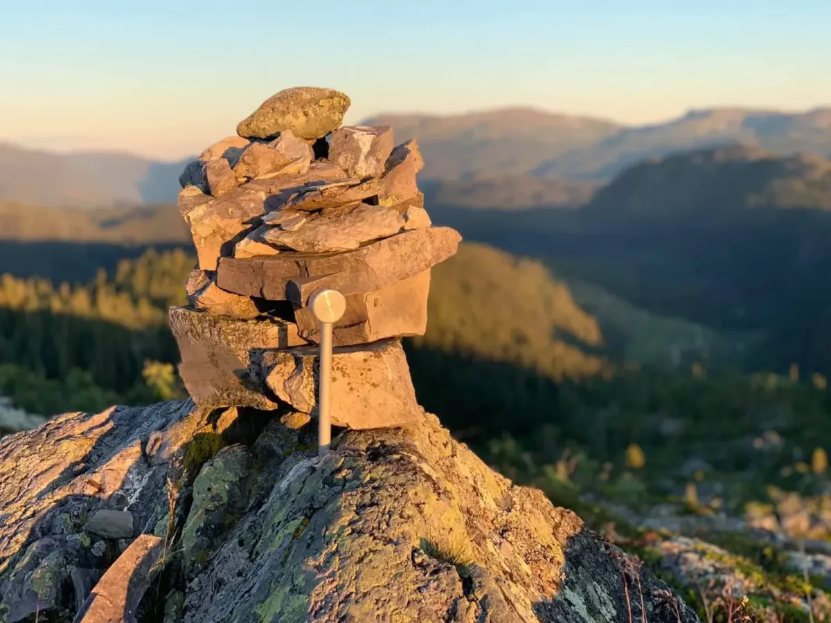
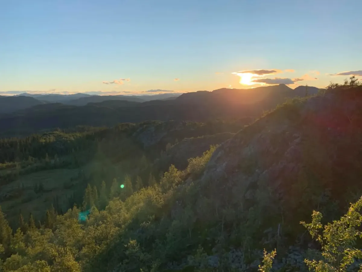
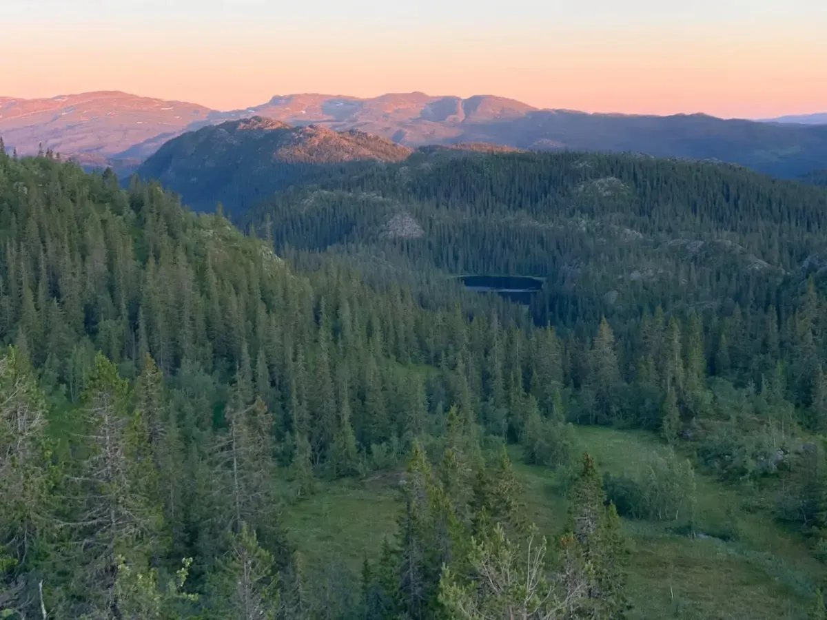
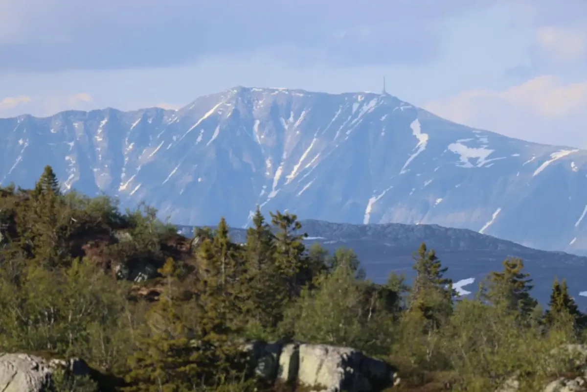
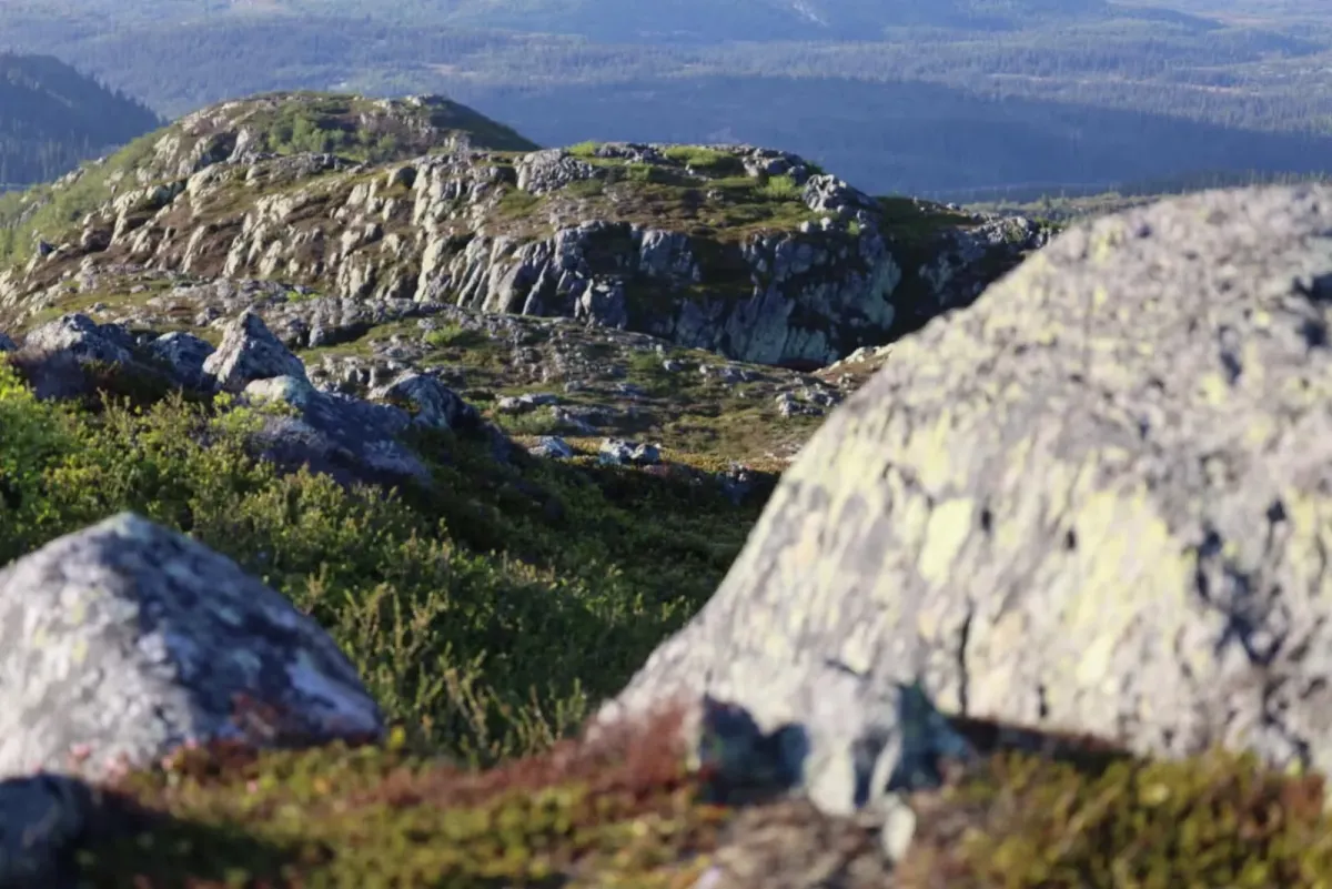
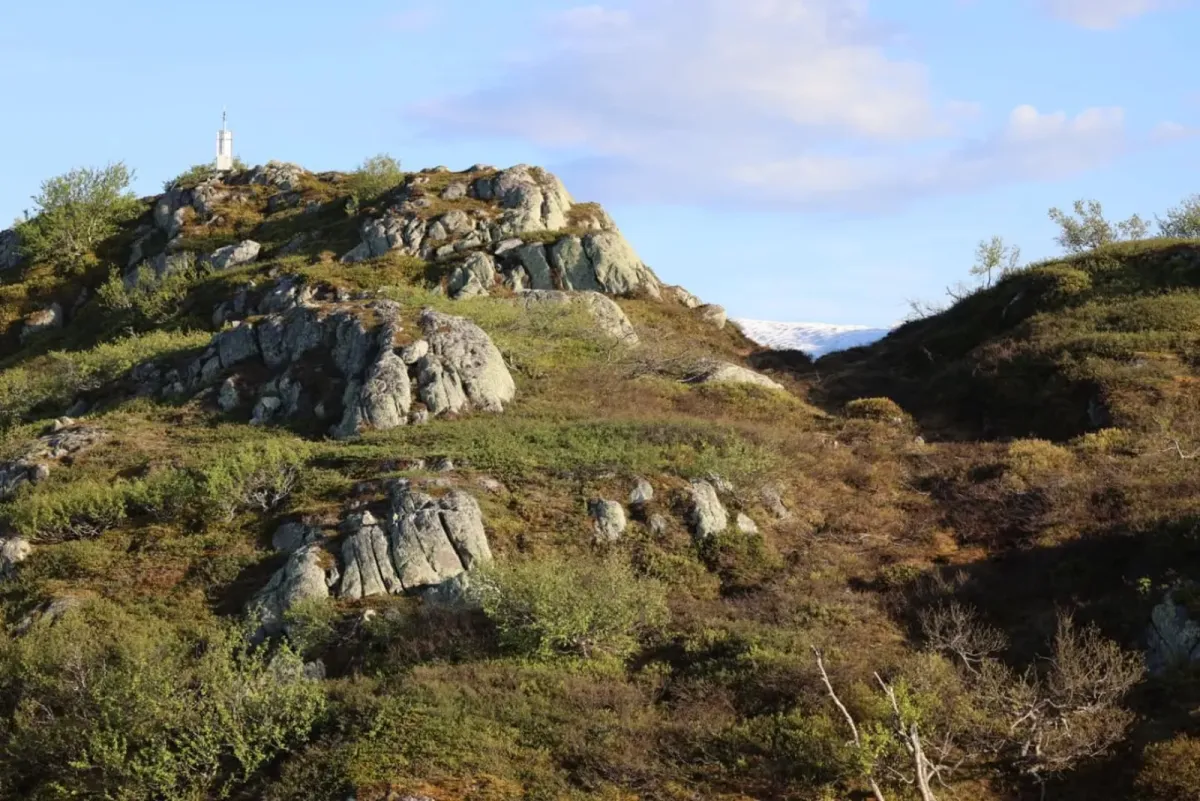
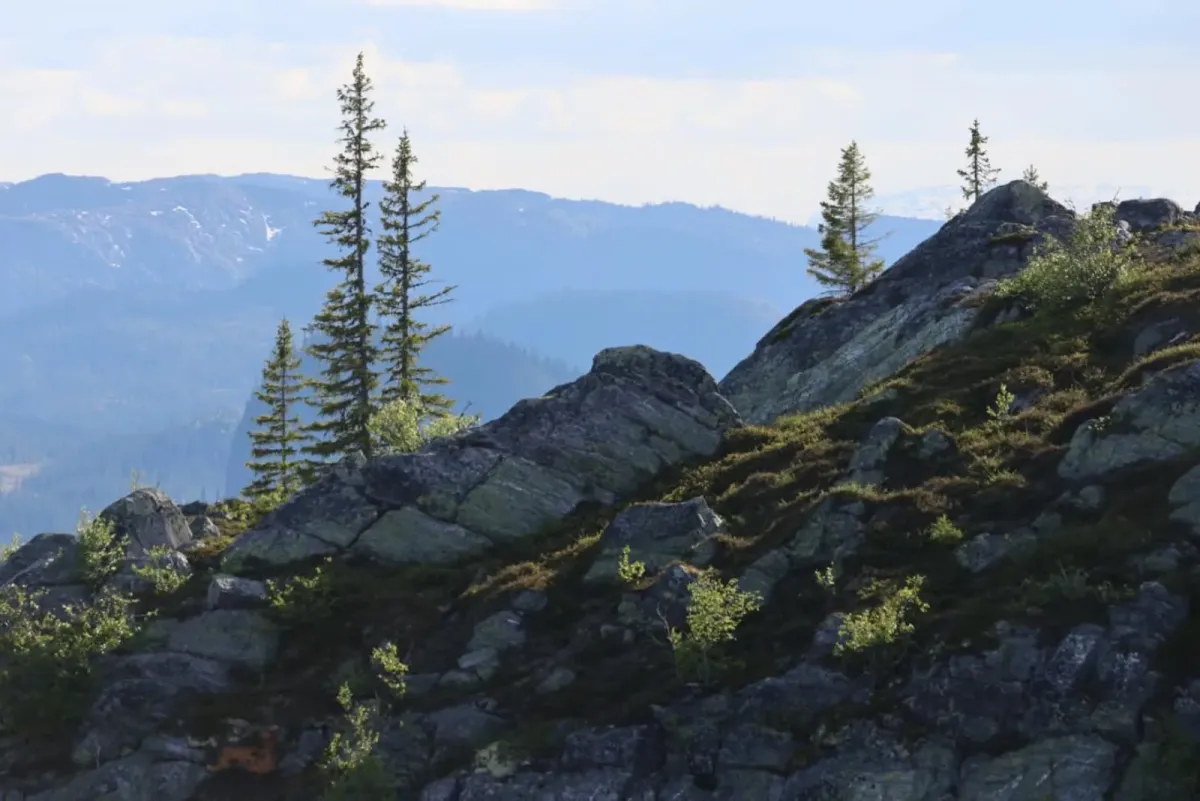
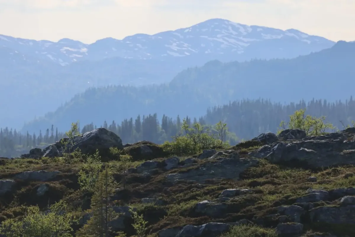
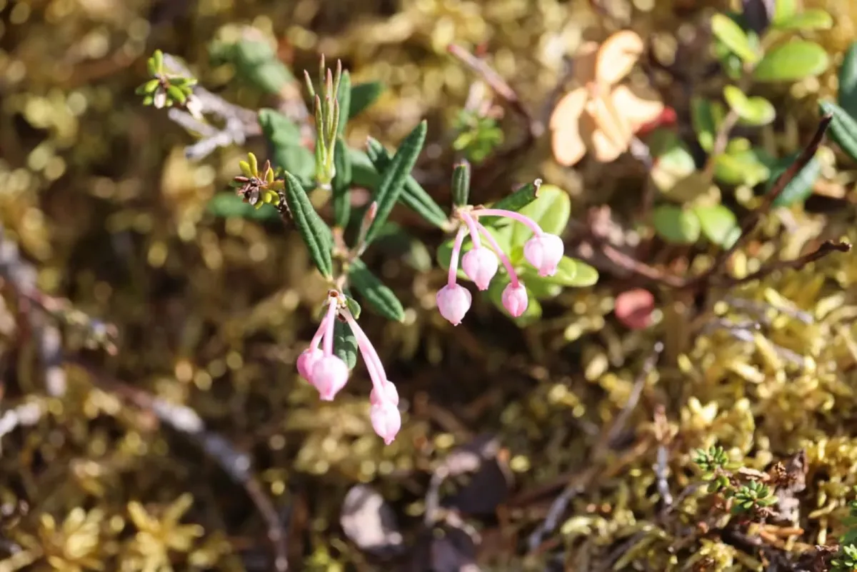
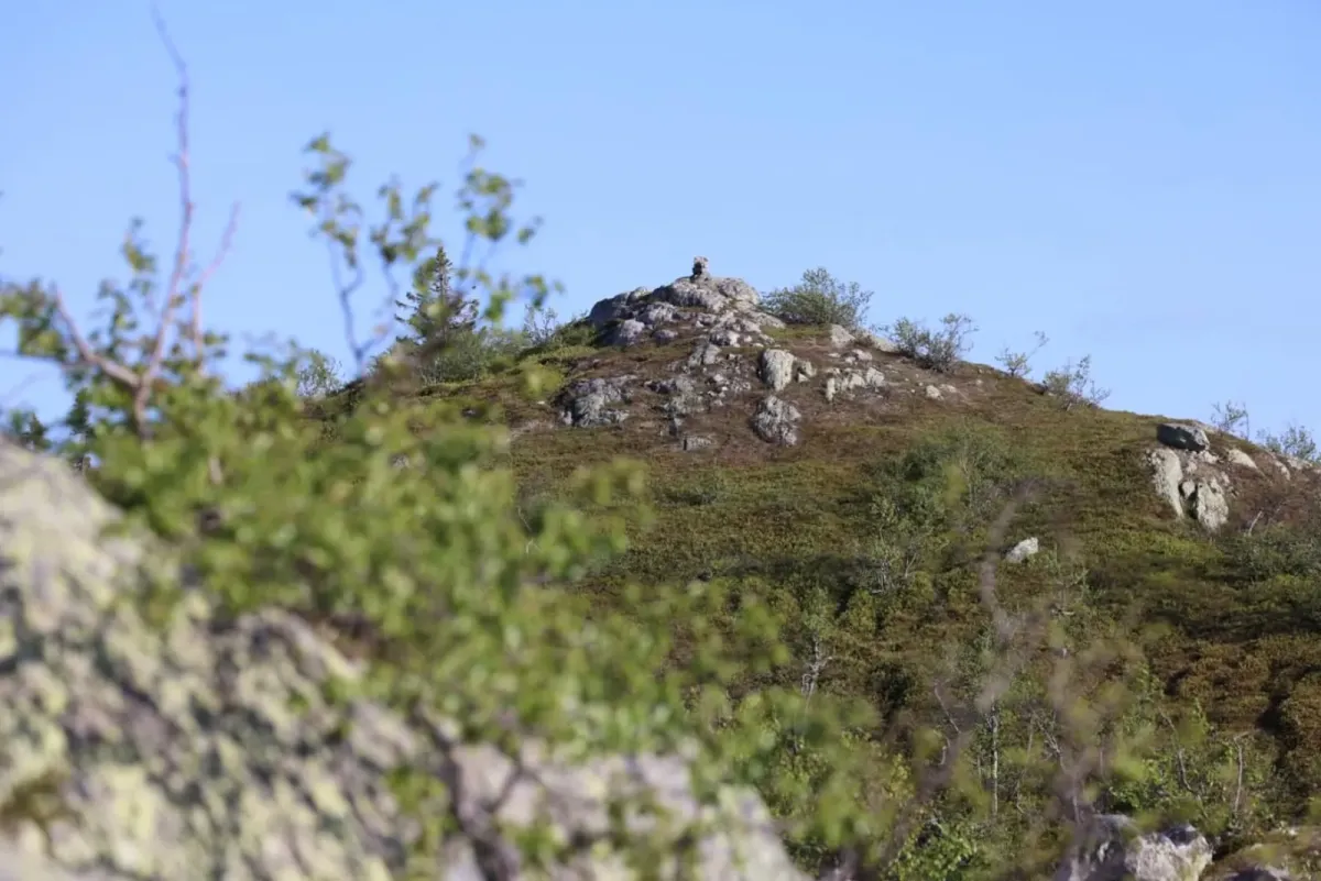
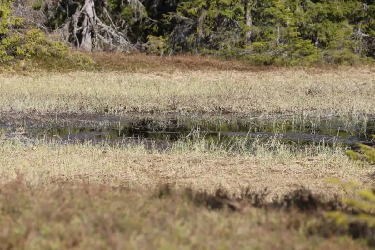
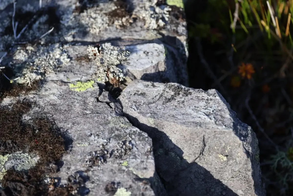
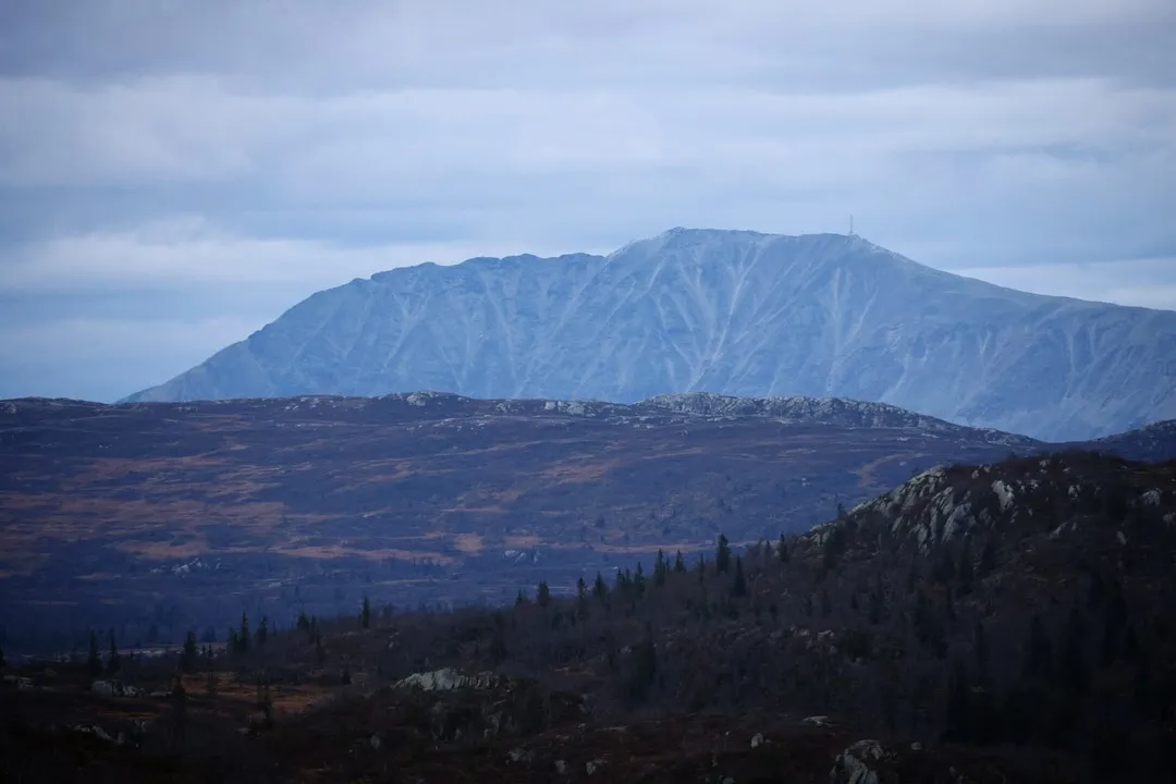
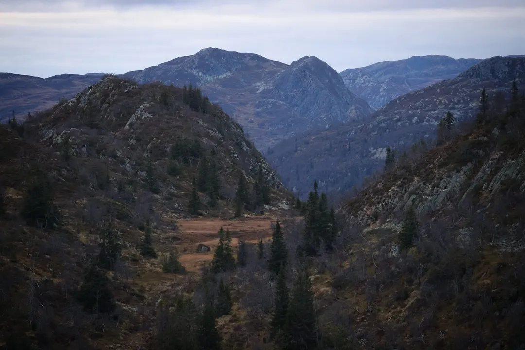
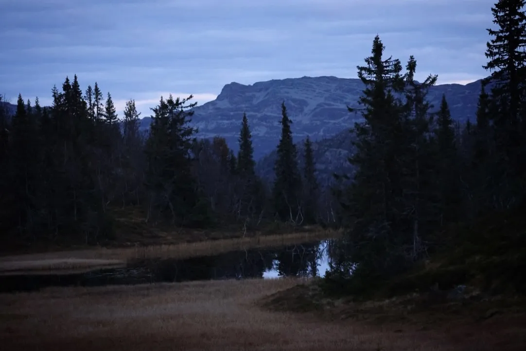
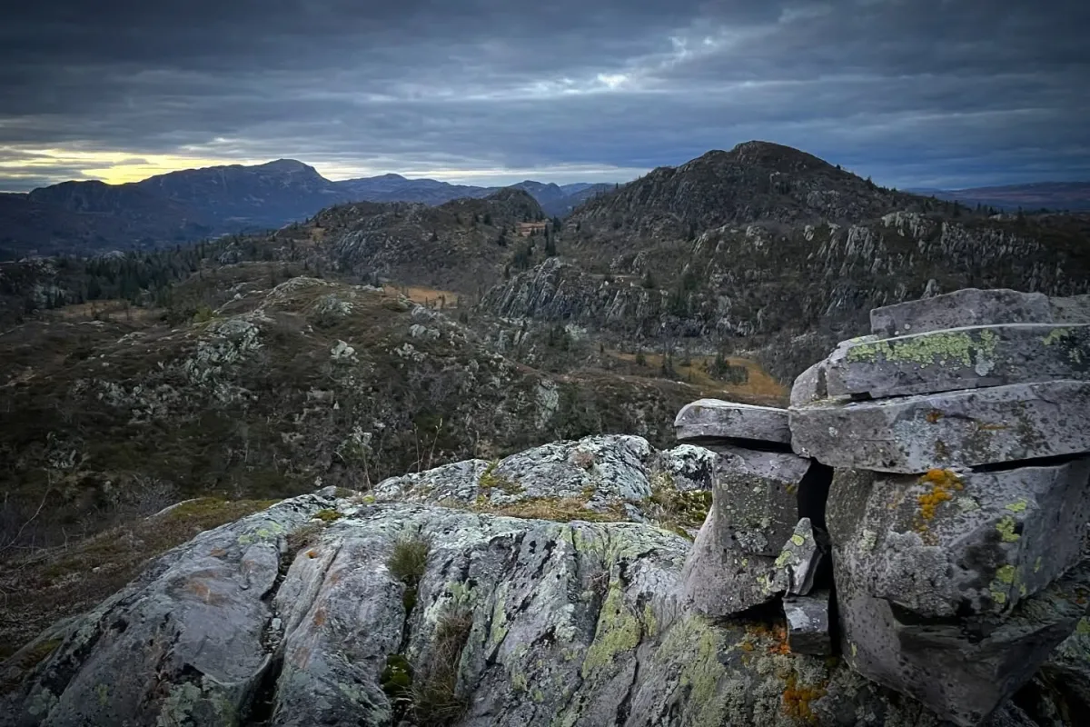
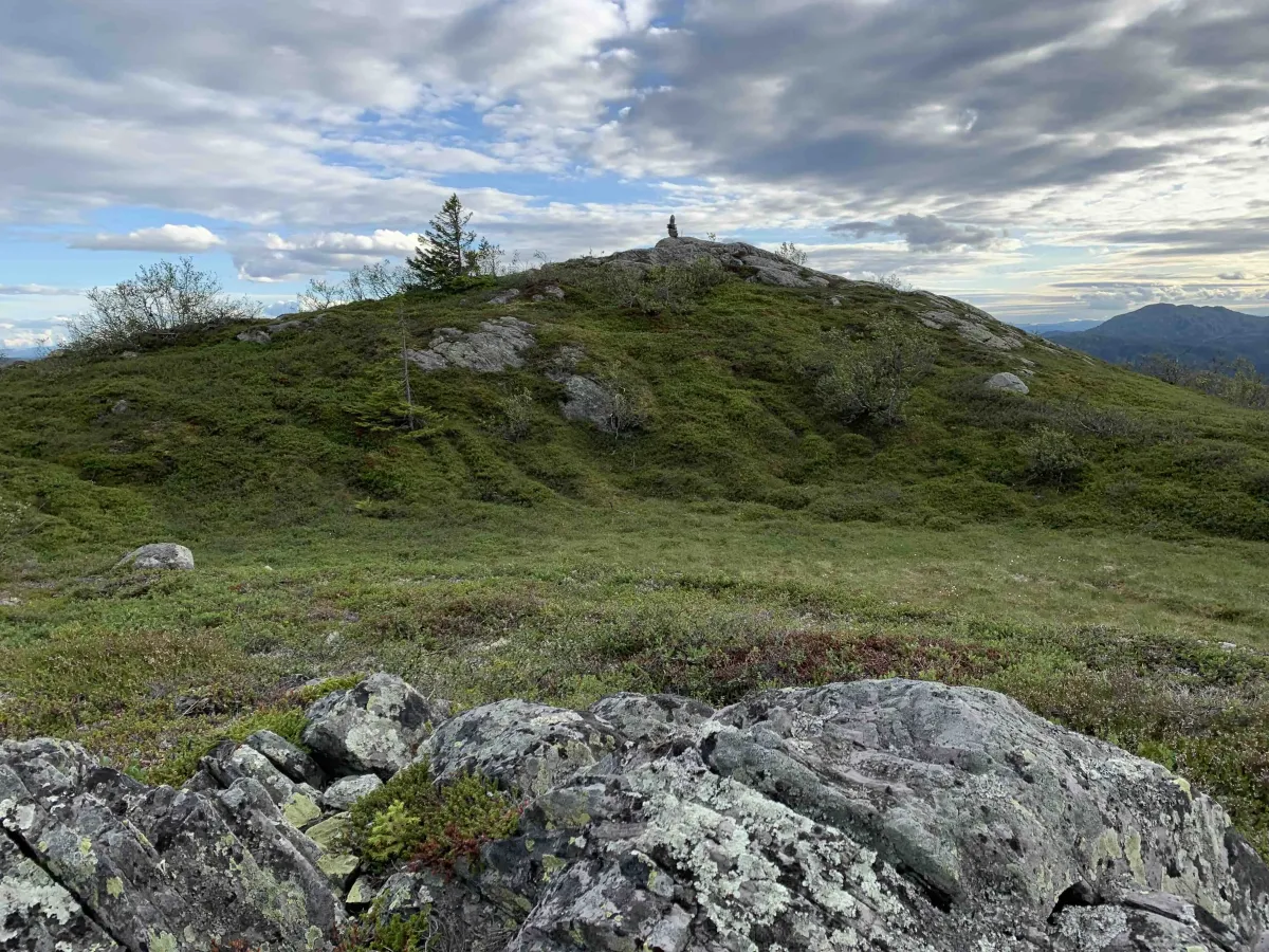
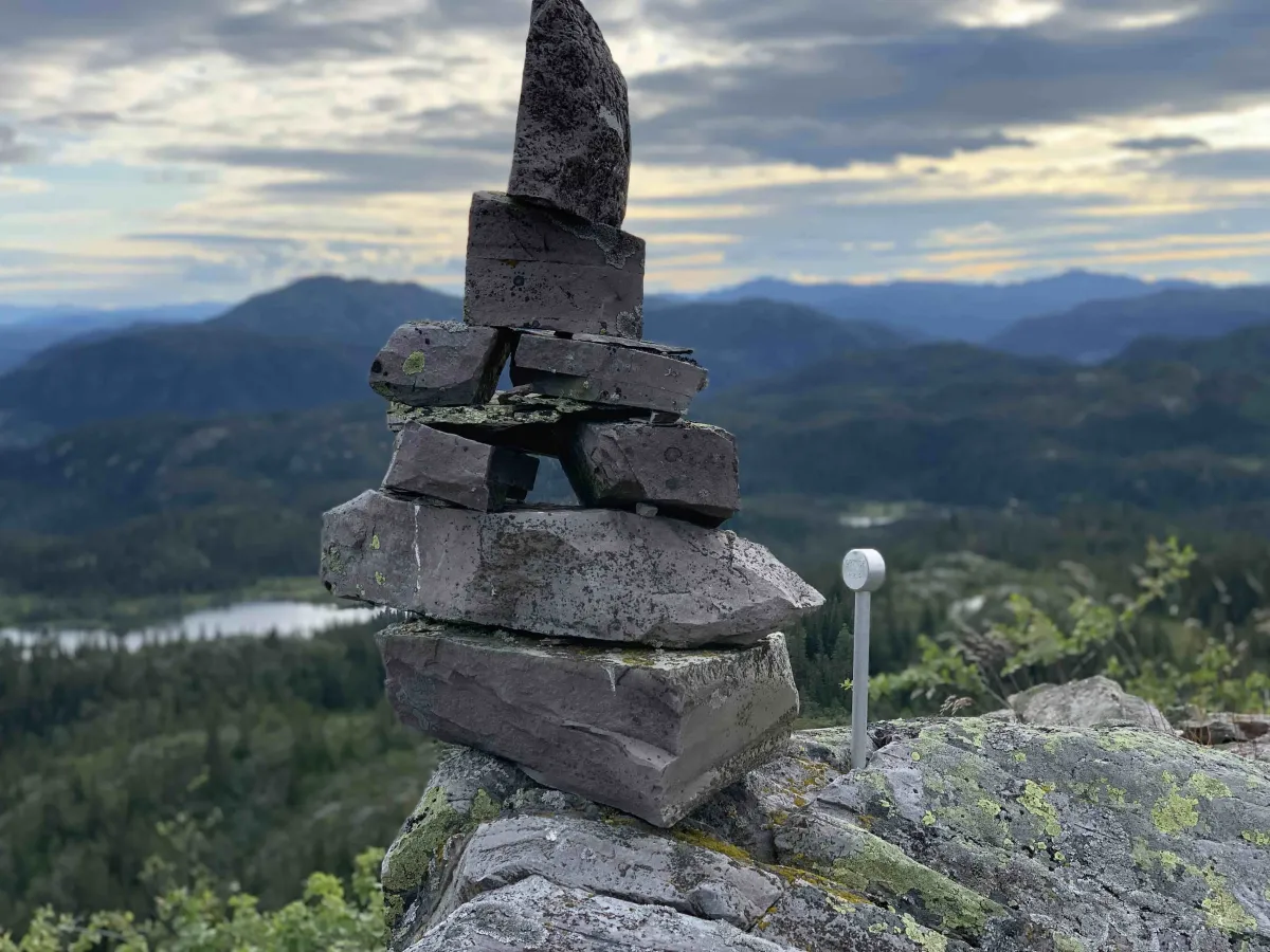
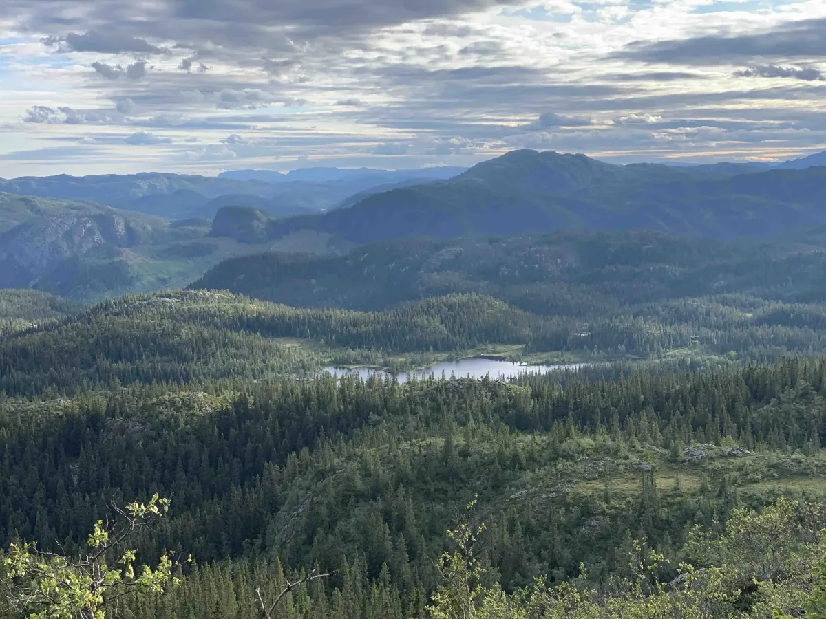
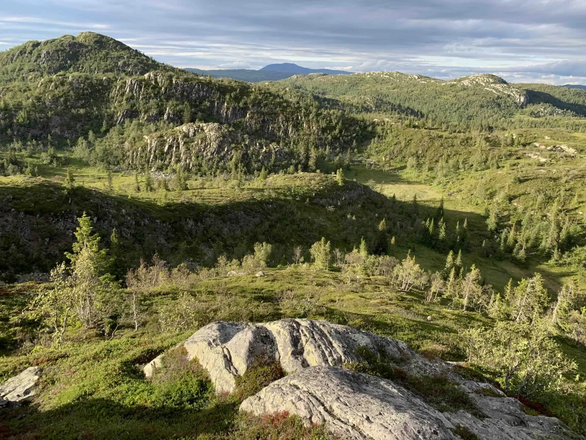
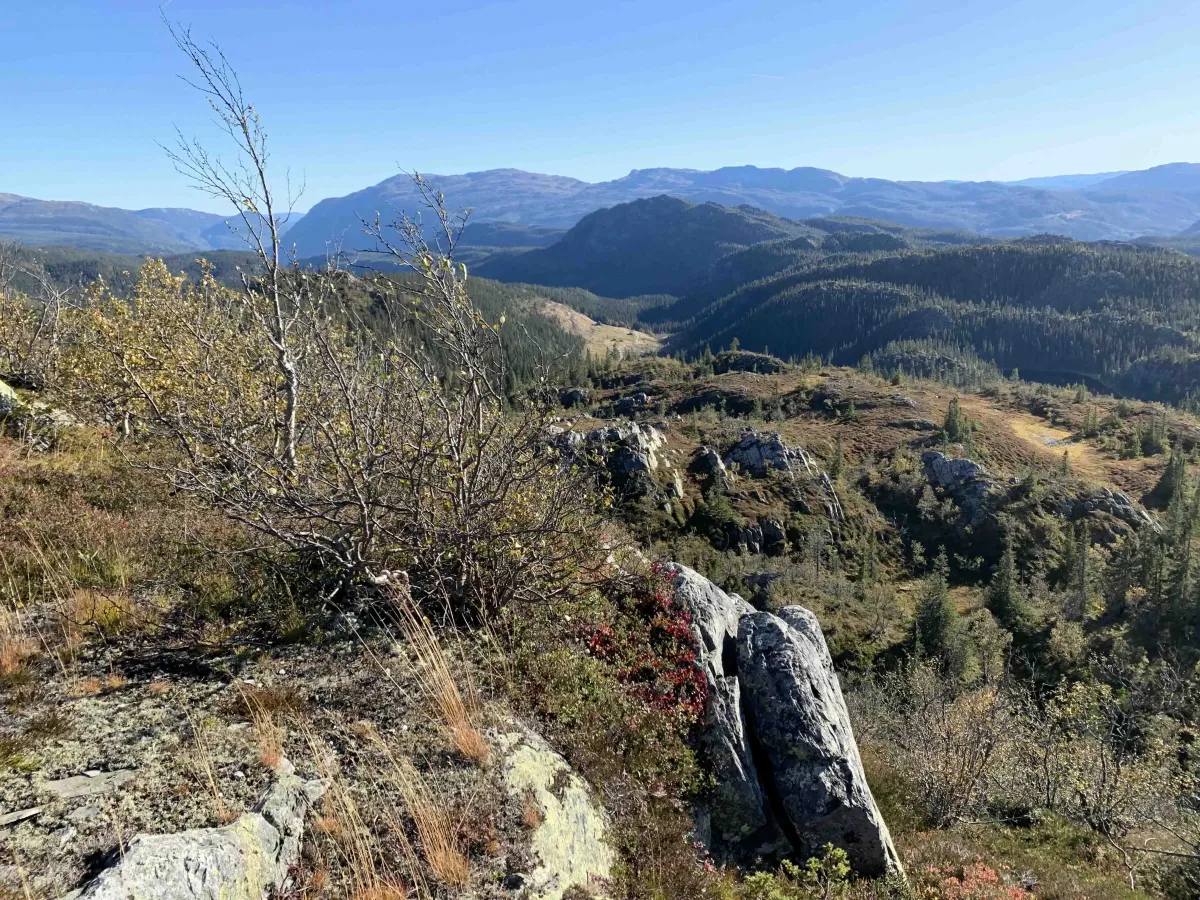
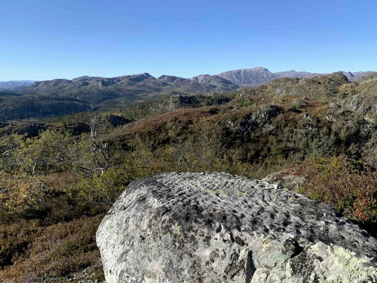
Start from Gaupetjønn (Parking) up in Heiåivegen. There is an unmarked path all the way up. From Gaupetjønn, head up Annebudalen and on towards Stukkeli, but head straight for the marsh. You will then reach the back of Brattlinuten. You can go up between these two nutanes and around to the front (or you can go steep and straight up). Great views towards Svartdal in the east, Brattefjell and Svartdalsheiane to the north. Skorve in the south. You can see most of it. The top is also on the border into the conservation area.
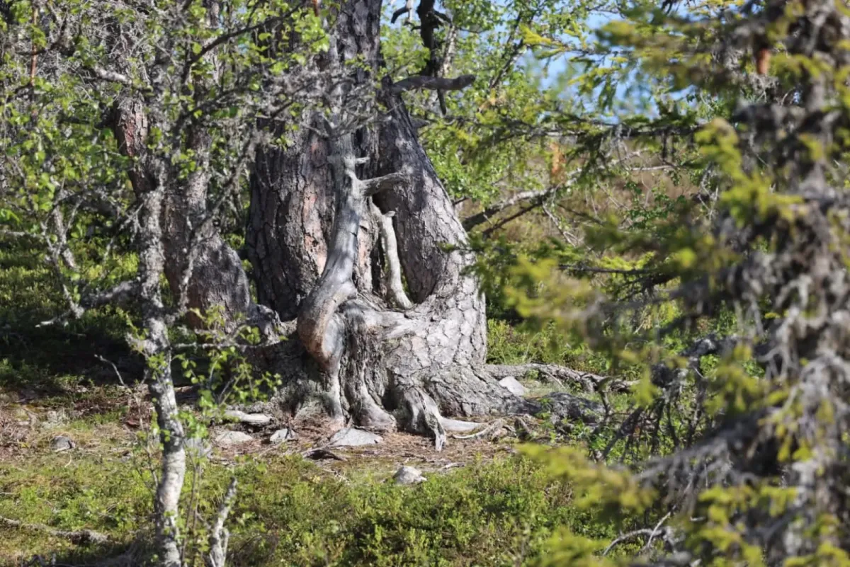
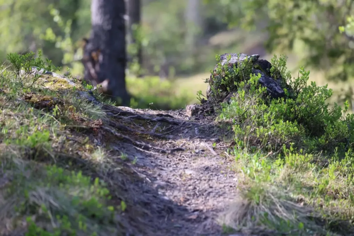
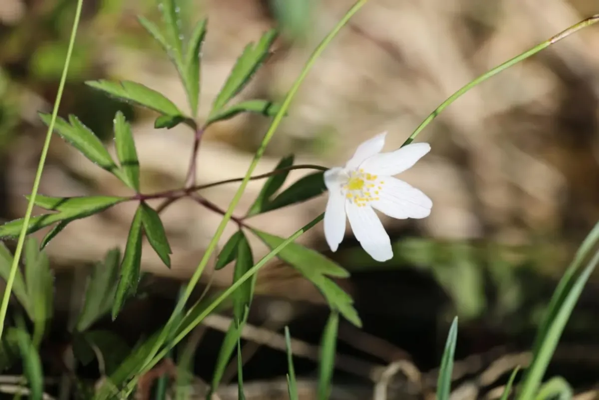
Photos (26)
1 / 26
Videos (2)
Johan Daniel Turi på trompet
Brattelinuten - turen opp
User photos (6)
1 / 6
Practical info
- Direction
- tur-retur
- Season
- Summer
- Trail quality
- 2/5
- Solitude
- 5/5
Got any good trail tips?
Åmotsdal
Telemark
fintur.no
Telemark
fintur.no