Bryggefjell
 T
T
Weather forecast
Hentar vêrdata…
Kjelde: Yr.no (Meteorologisk institutt)
Map and route
S Start
M Finish
▲ Highest point
▼ Lowest point
km Main route
km Alternativ rute
↕ m Elevation
About this hike
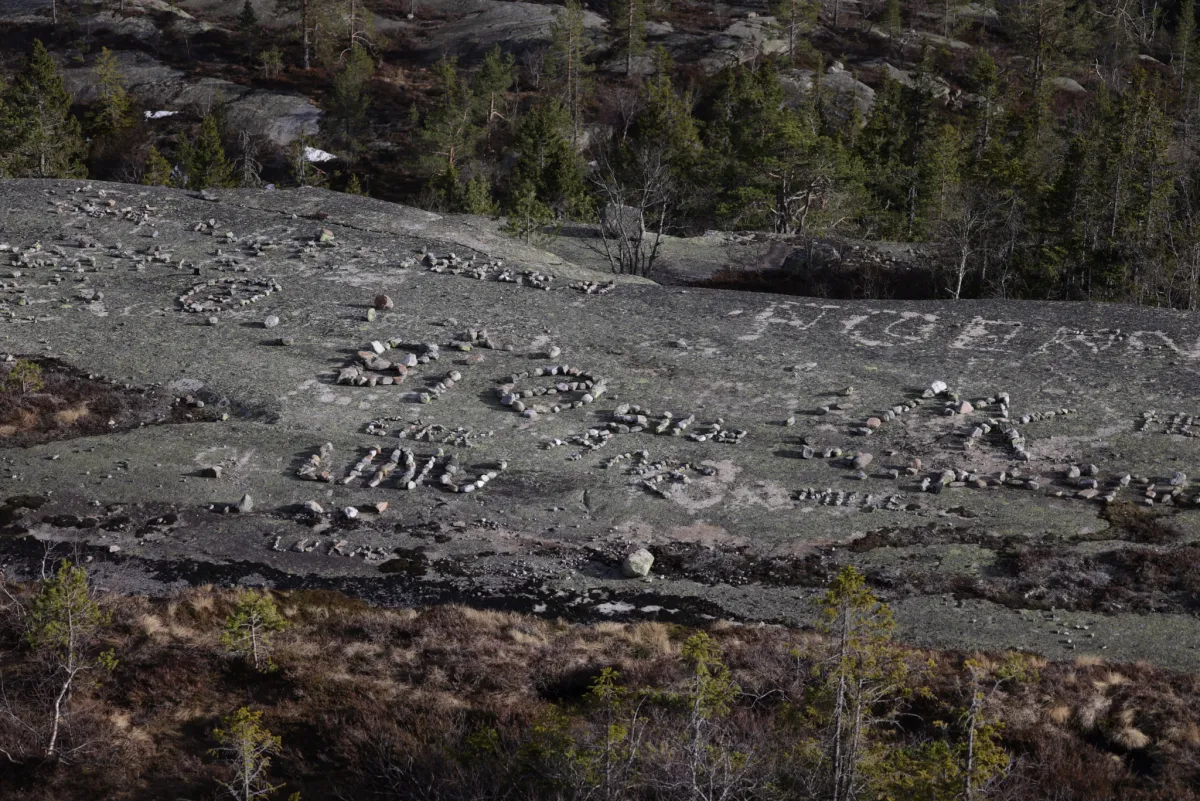
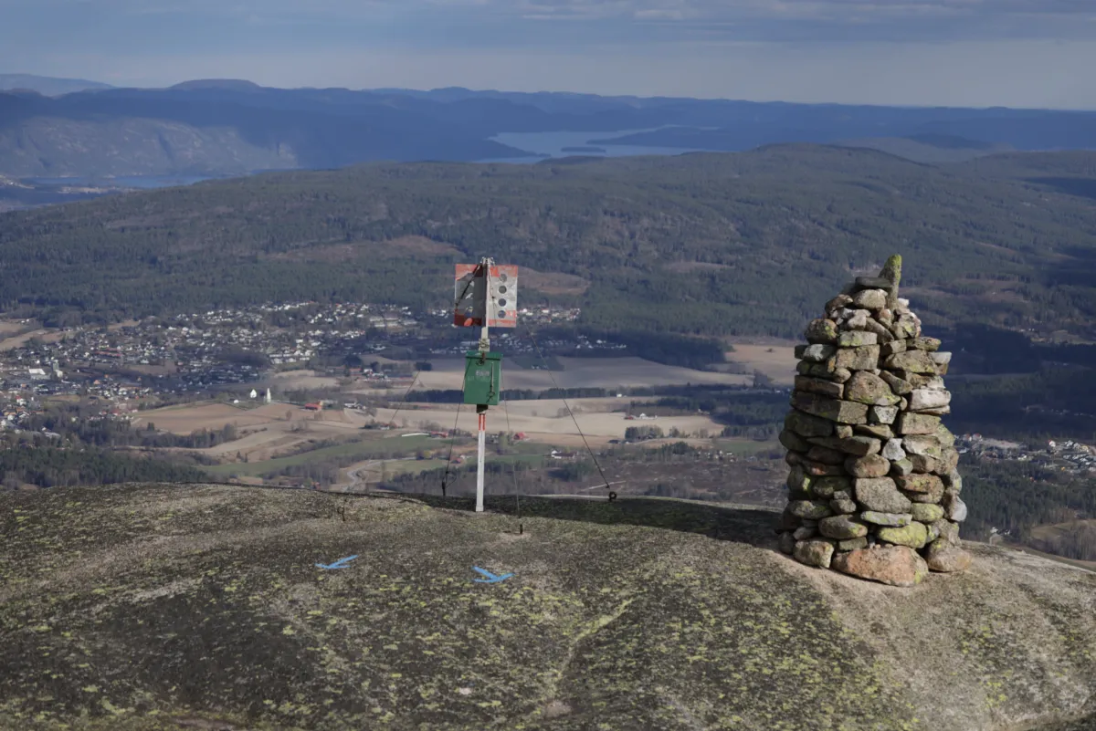
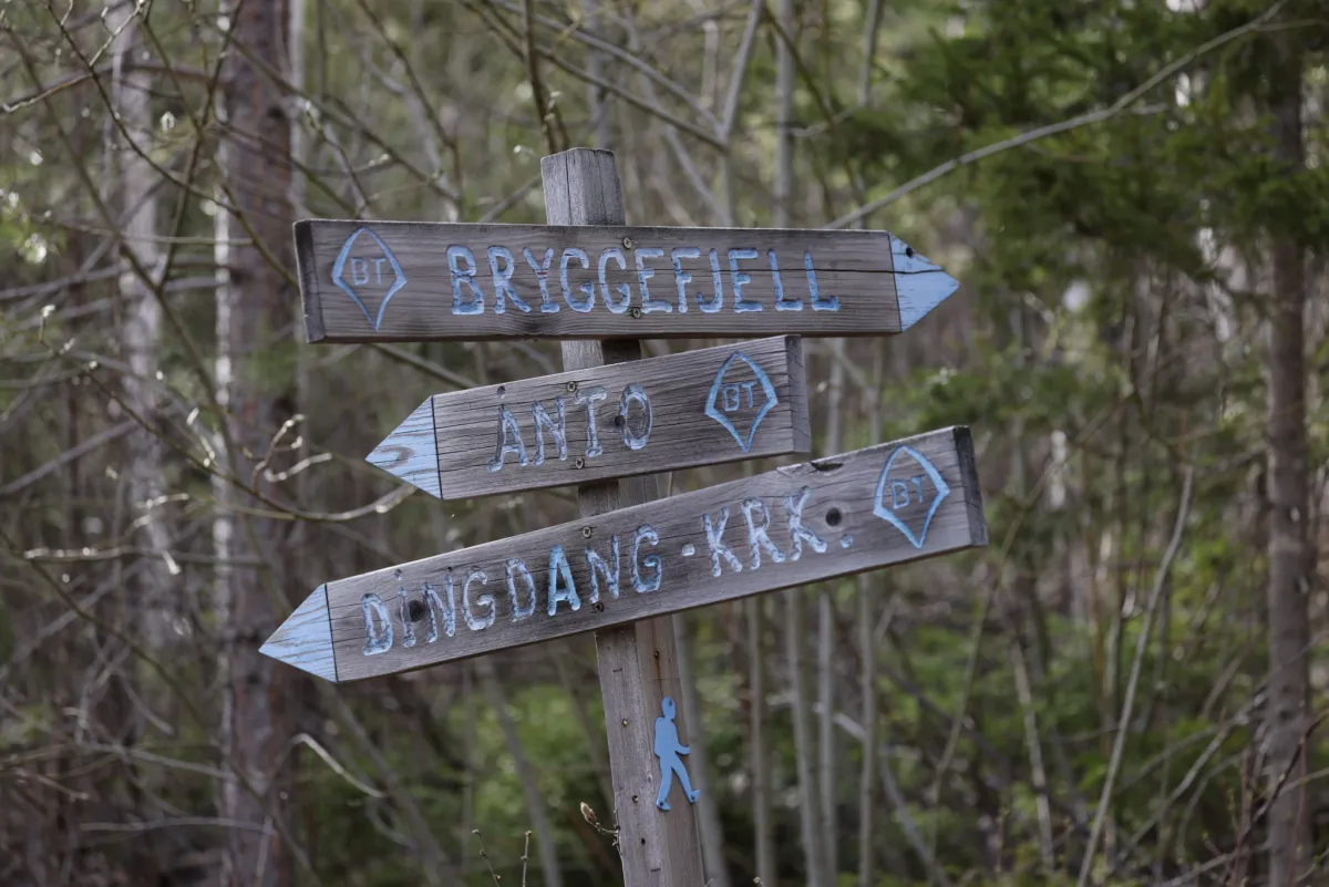
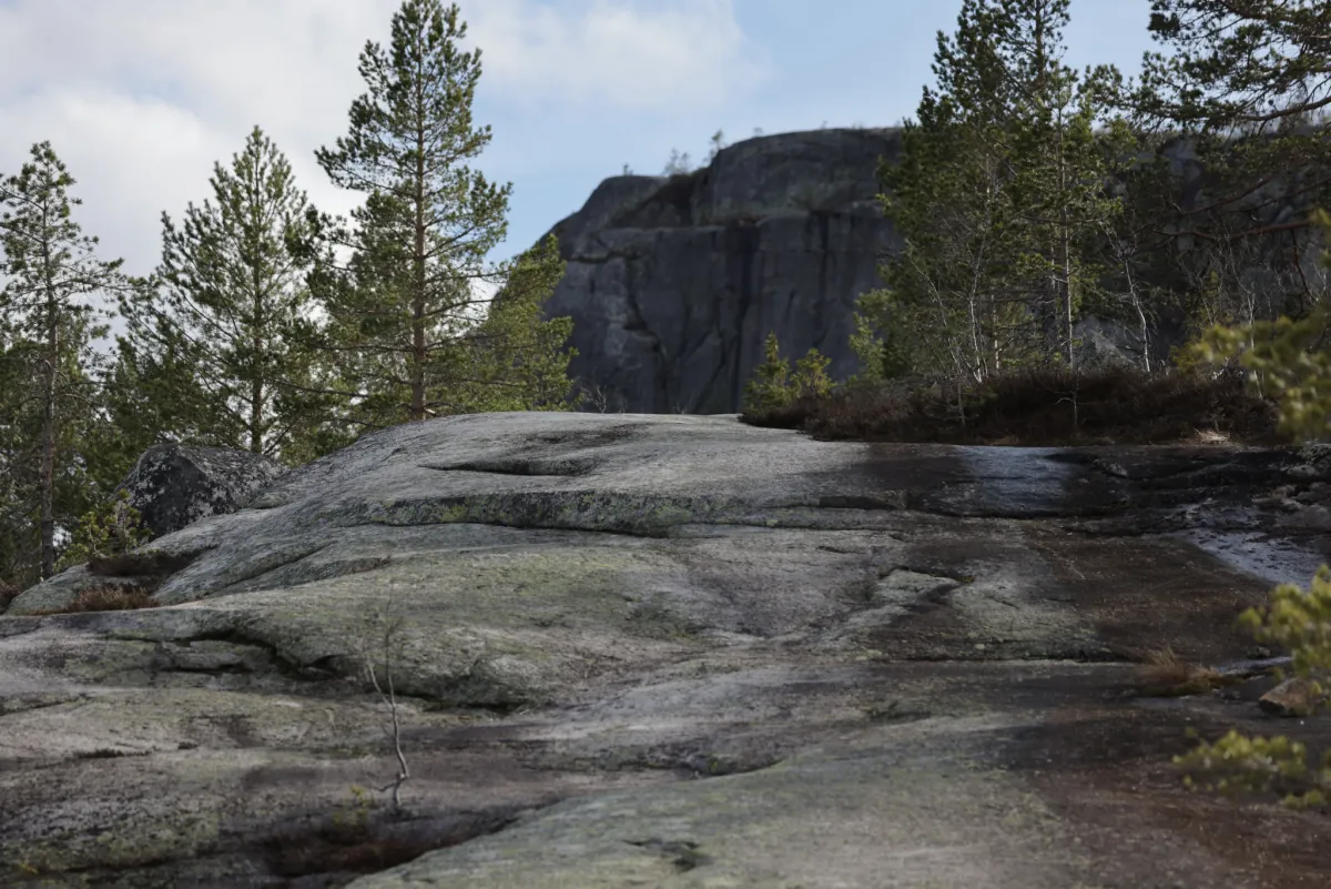
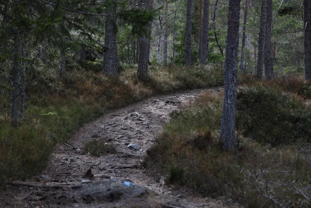
Bryggefjell (786 m) in Bø, is a great hike. Here you mostly walk on rocks. The hike starts from the parking lot at Innleggen in Liheia. From there, head straight ahead to the first viewpoint, on the mountain about 1 km ahead. From there, you climb almost 500 meters to the top. A total of 8.6 km back and forth. The trip takes about 2 hours without breaks. Good to see there are nice hikes in Bø, au
Photos (6)
1 / 6

Trail story
Practical info
- Direction
- tur-retur
- Season
- Summer
- Trail quality
- 4/5
- Solitude
- 6/5
Got any good trail tips?
Midt-Telemark
Telemark
fintur.no
Telemark
fintur.no