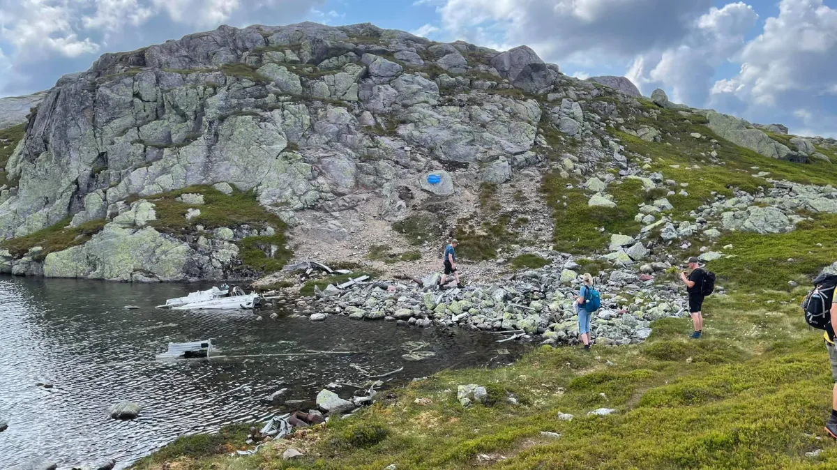
Flyvrak - Tysk

Fee
The road or car park has a fee. Bring small change. Some take cards and Vipps.
Weather forecast
Hentar vêrdata…
Kjelde: Yr.no (Meteorologisk institutt)
Map and route
S Start
M Finish
▲ Highest point
▼ Lowest point
km Main route
km Alternativ rute
↕ m Elevation
About this hike
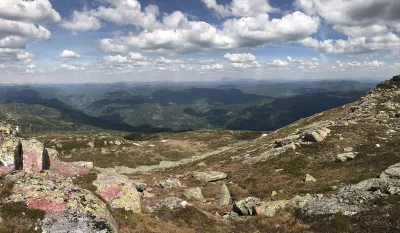
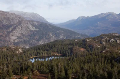
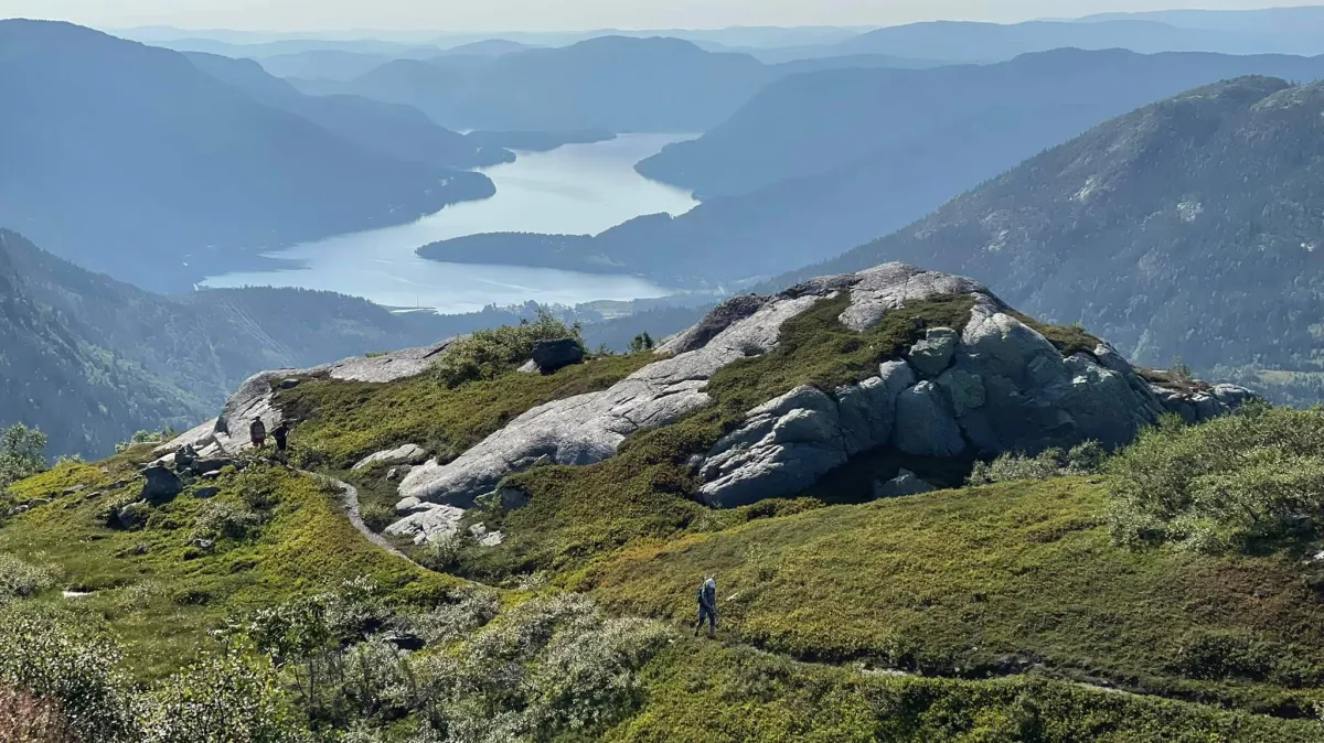
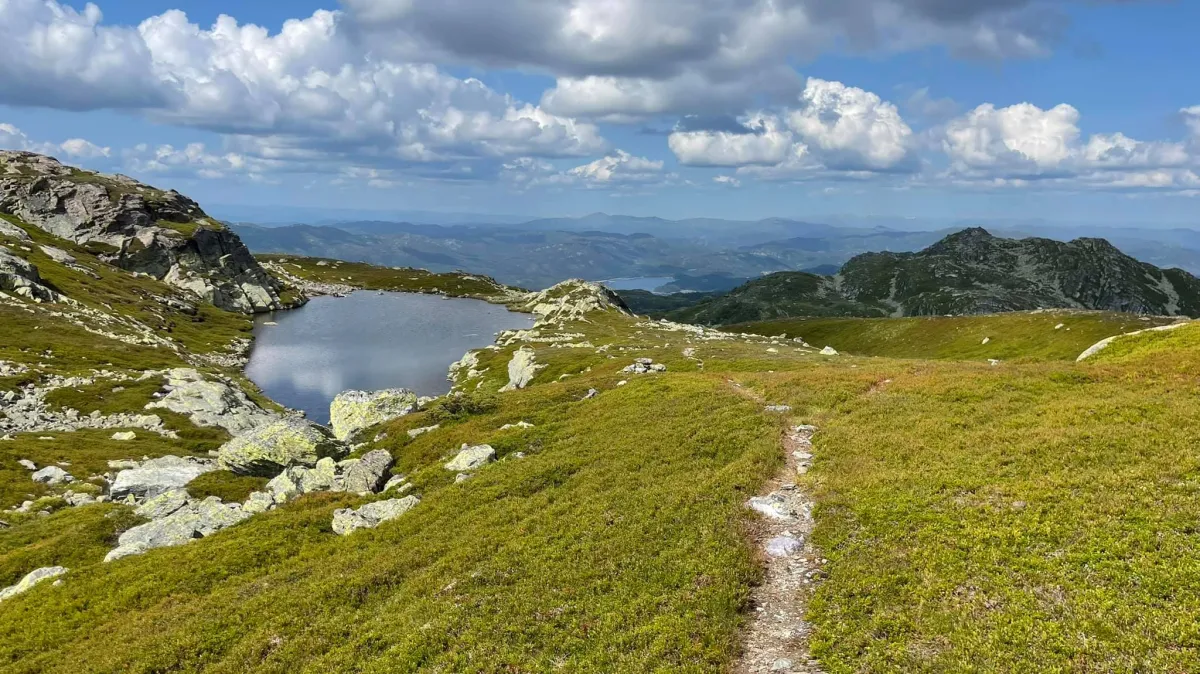
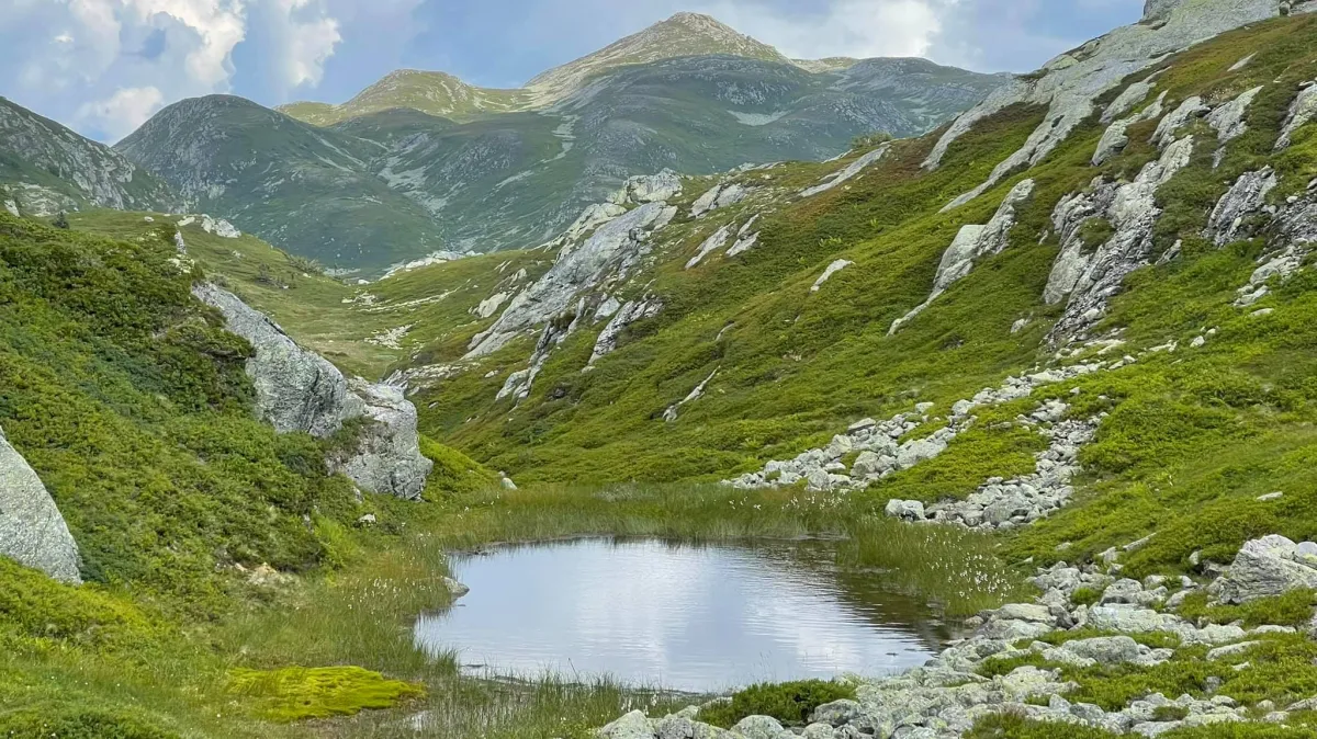
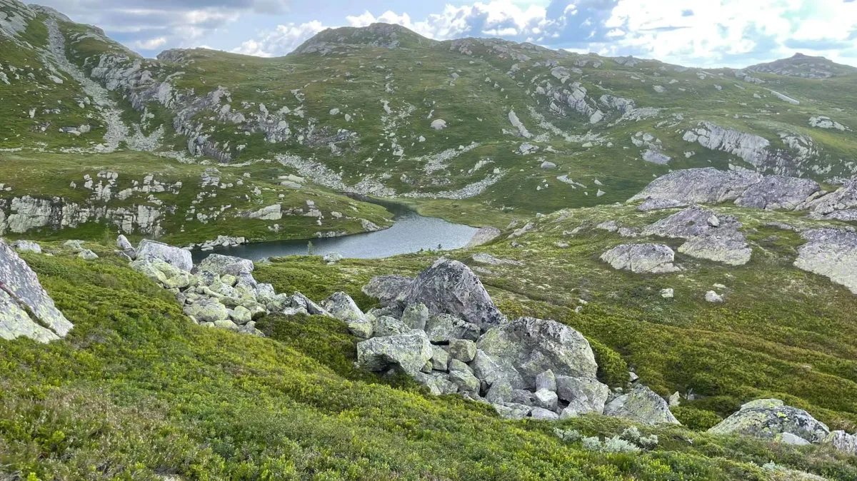
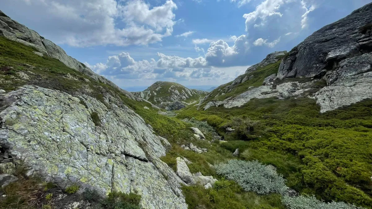
Long hike in Hestenutane at Nord-Skorve. We were 12 happy hikers who made it up and around Hestenutane today. This is an utterly unique and very visual area, with its many grooves and valleys. We went up from Bygdardalen towards Høna. Then on to Finndalen and Hestenuttjønna, before heading straight up to the summit at 1281 meters above sea level. We then went down towards the German airplane wreck and ate a snack there. Then, up on Tulla and down and in between the groove towards the edge of the hen, again. An incredibly warm and nice trip. Total length of 14.8 km with 993 meters of ascent. Thank you very much for the trip, everyone!
Photos (6)
1 / 6
Practical info
- Direction
- tur-retur
- Season
- Summer
- Trail quality
- 2/5
- Solitude
- 6/5
Got any good trail tips?
Seljord
Telemark
fintur.no
Telemark
fintur.no