Geitåsnuten
Car park
Boarding and alighting. No public car park by the road.
Weather forecast
Hentar vêrdata…
Kjelde: Yr.no (Meteorologisk institutt)
Map and route
S Start
M Finish
▲ Highest point
▼ Lowest point
km Main route
↕ m Elevation
About this hike
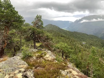
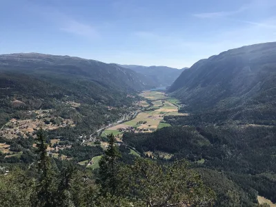
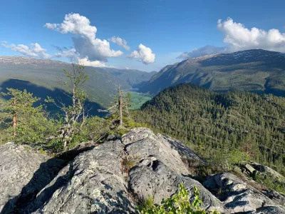
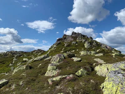
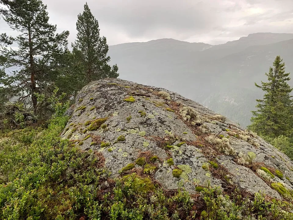
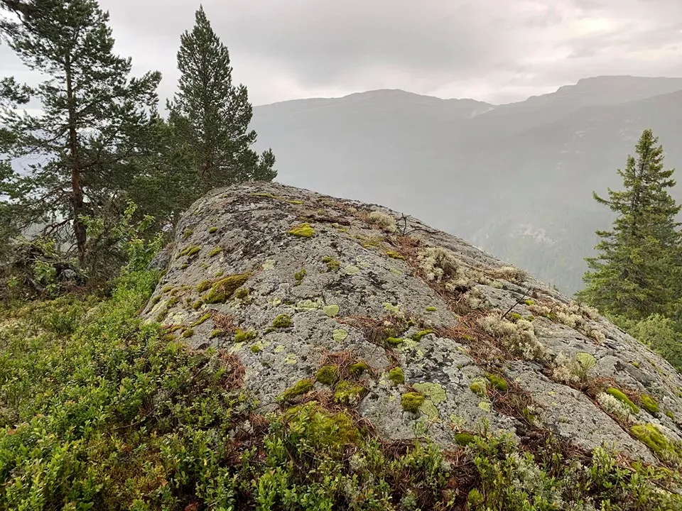
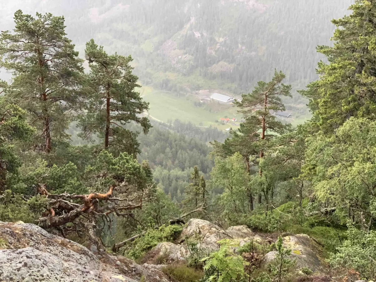
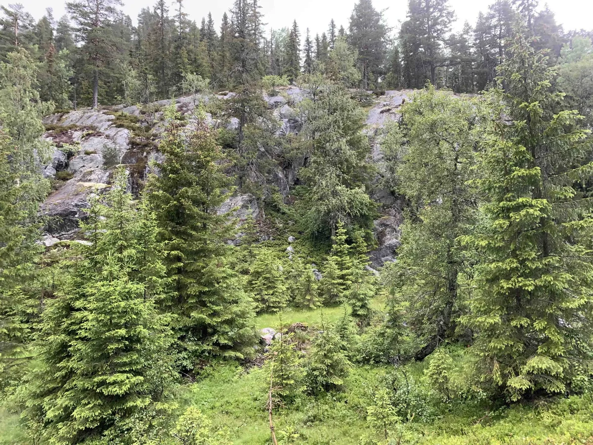
This tour starts from Åmotsdalsvegen. There is no public parking here, but it can be used as a drop-off point. Geitåsnuten is a groove located behind Bringinsnuten down towards Åmotsdalsevegen. You follow a tractor road for most of the steep hike. There are about 400 vertical meters up. The last part is on and off trail. Good views of north Skorve.
Photos (1)
User photos (2)
1 / 2
Practical info
- Direction
- tur-retur
- Season
- Summer
- Trail quality
- 2/5
- Solitude
- 5/5
Got any good trail tips?
Flatdal
Telemark
fintur.no
Telemark
fintur.no