Geitekyrkja
Weather forecast
Hentar vêrdata…
Kjelde: Yr.no (Meteorologisk institutt)
Map and route
S Start
M Finish
▲ Highest point
▼ Lowest point
km Main route
↕ m Elevation
About this hike
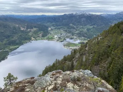
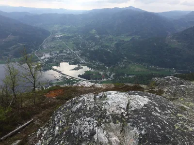
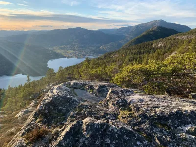
Geitekyrkja - a natural adventure in Bjørgefjell
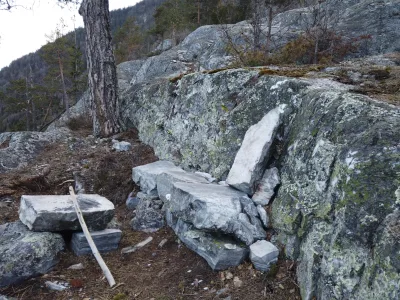
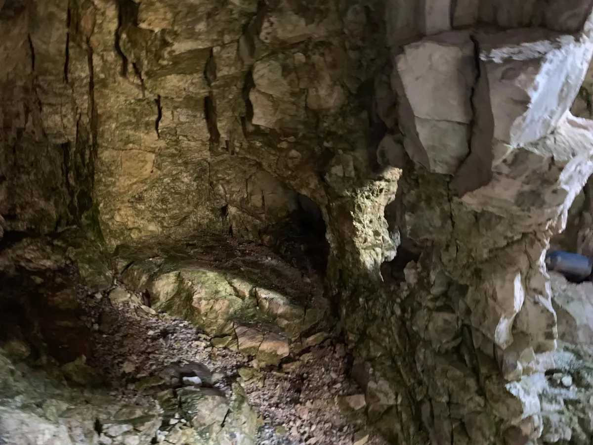
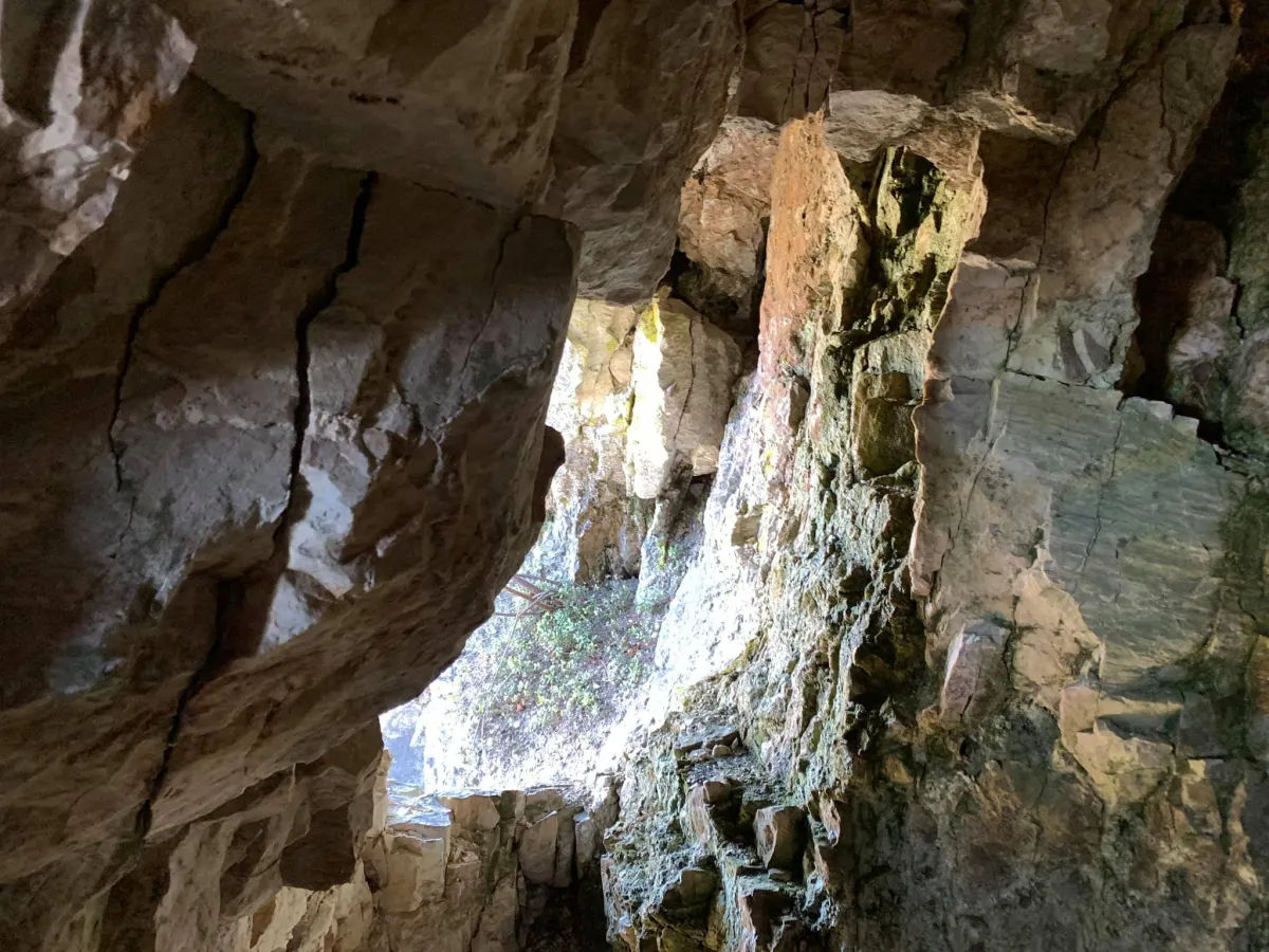
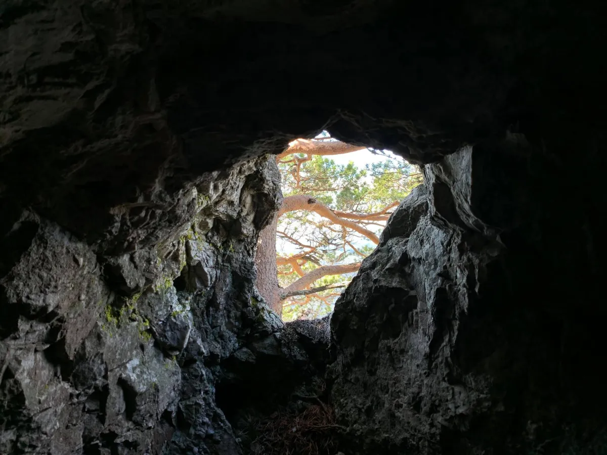
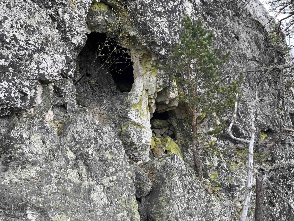
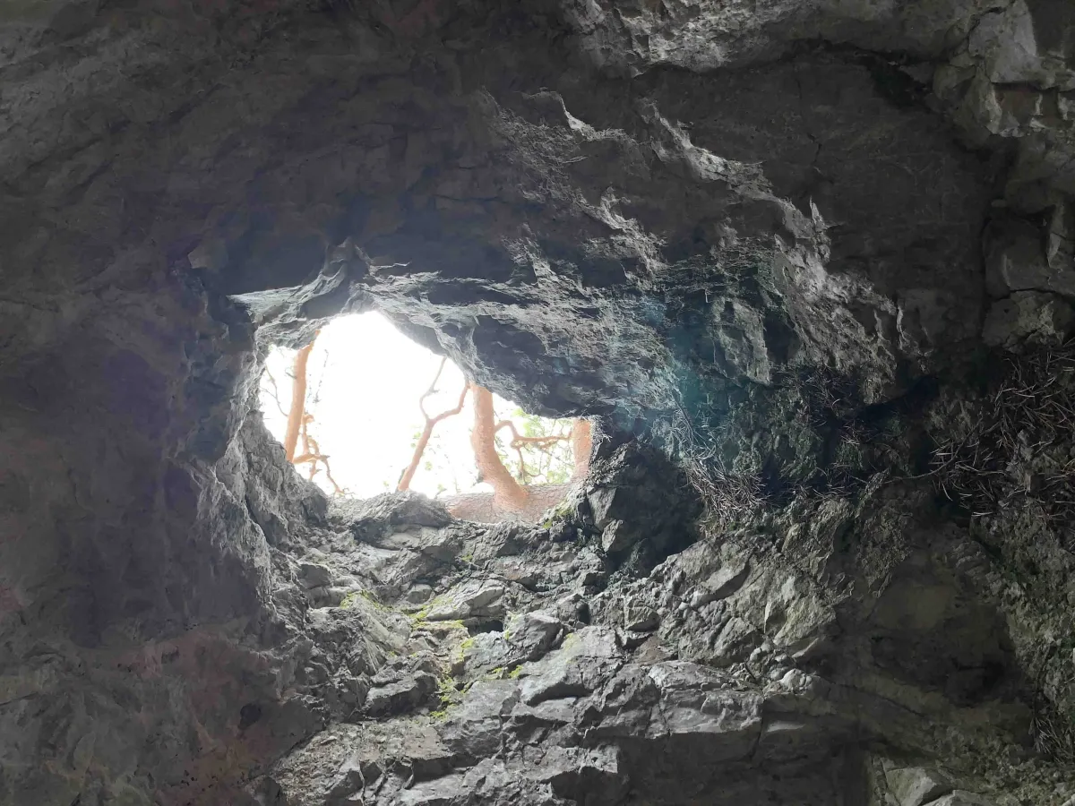
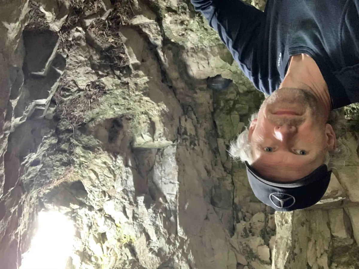
This is a trip for the adventurous! Geitekyrkja is a spectacular cave or canyon formation that is well hidden in the mountains - a small natural wonder that many people don't know about.
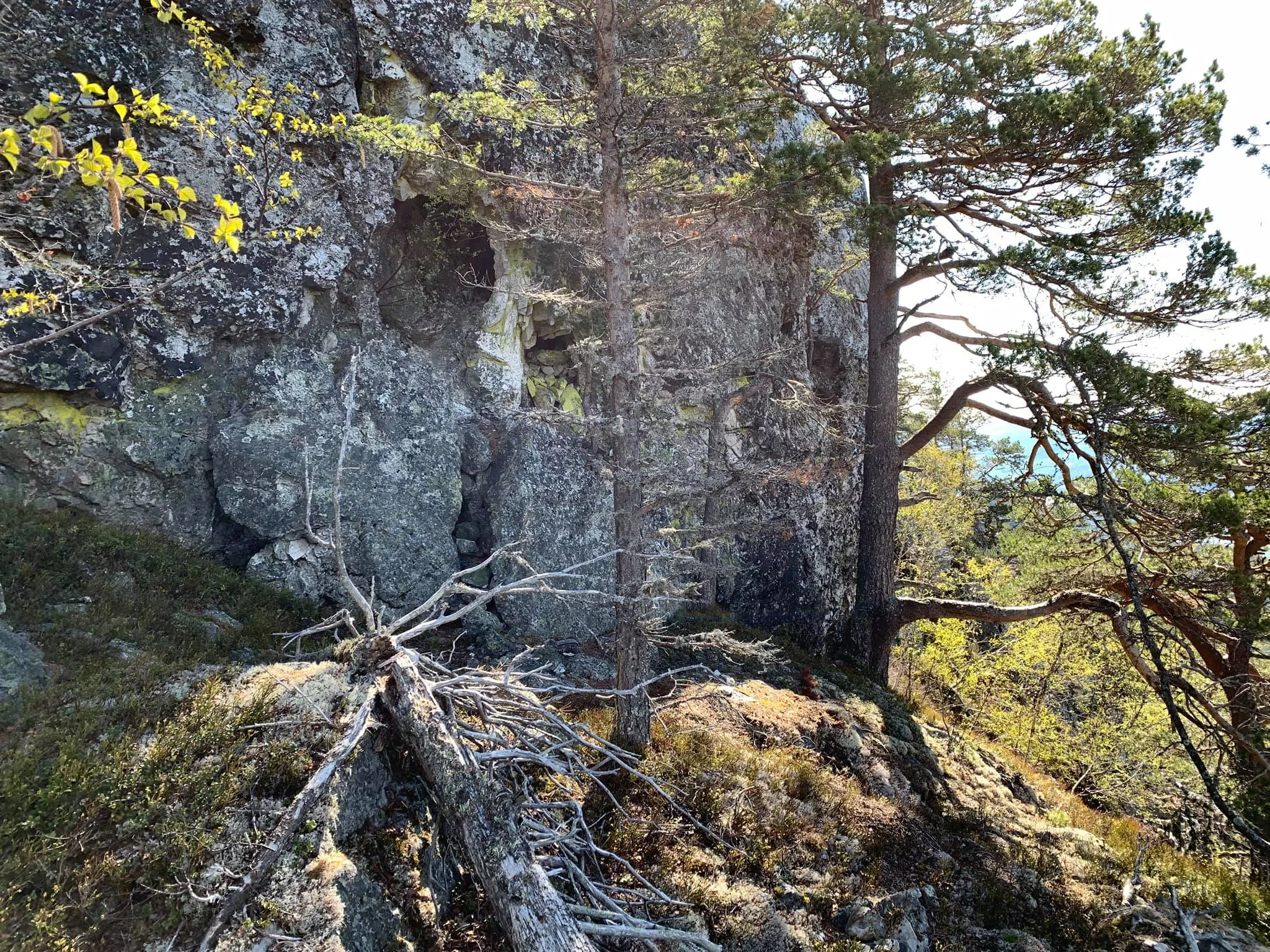
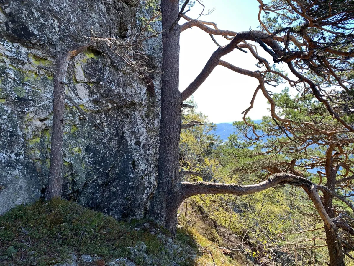
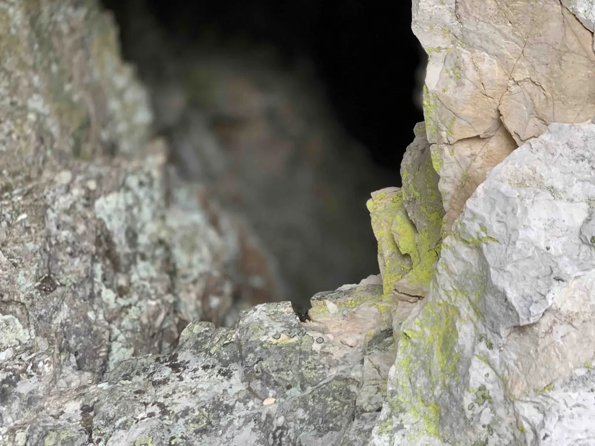
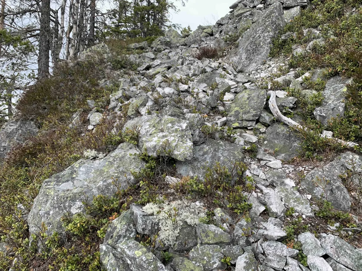
The tour starts from the Reinstaul parking lot in Grunningsdalen. From here you walk up Borkebudalen to Rognstaulen, and then further up the slope towards the third groove in Bjørgefjell. Keep your eyes open, as Geitekyrkja lies at the front of the groove, and the surrounding terrain can be steep and challenging. It's important to be careful, especially if it's wet or slippery.
The formation got its name because it resembles a church - and perhaps the goats used it as shelter in its time. It's a thrilling experience to arrive and discover something so special in wild and untouched nature. This is a place that suits those who like to explore and get a little off the beaten track.
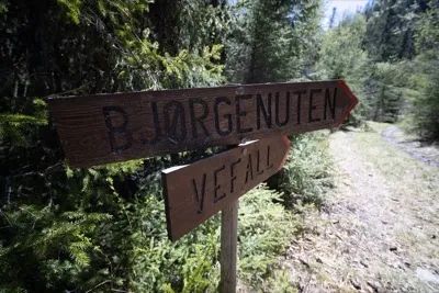
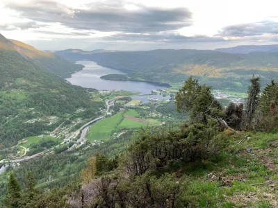
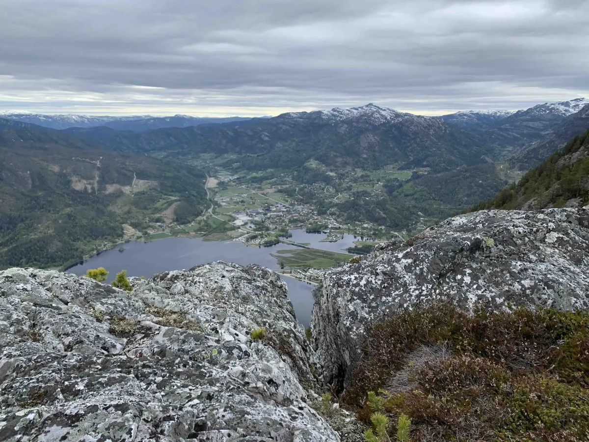
After your visit to Geitekyrkja, you can choose to continue towards Bjørgenuten and take in even more of the views and mountain scenery in the area. The entire hike requires good fitness and experience of walking in unmarked mountain terrain.
This is a trip for the adventurous! Geitekyrkja is a spectacular cave or canyon formation that is well hidden in the mountains - a small natural wonder that many people don't know about.
The tour starts from the Reinstaul parking lot in Grunningsdalen. From here you walk up Borkebudalen to Rognstaulen, and then further up the slope towards the third groove in Bjørgefjell. Keep your eyes open, as Geitekyrkja lies at the front of the groove, and the surrounding terrain can be steep and challenging. It's important to be careful, especially if it's wet or slippery.
The formation got its name because it resembles a church - and perhaps the goats used it as shelter in its time. It's a thrilling experience to arrive and discover something so special in wild and untouched nature. This is a place that suits those who like to explore and get a little off the beaten track.
After your visit to Geitekyrkja, you can choose to continue towards Bjørgenuten and take in even more of the views and mountain scenery in the area. The entire hike requires good fitness and experience of walking in unmarked mountain terrain.
Photos (5)
1 / 5

User photos (6)
1 / 6
Practical info
- Direction
- tur-retur
- Season
- Summer
- Trail quality
- 2/5
- Solitude
- 5/5
Got any good trail tips?
Seljord
Telemark
fintur.no
Telemark
fintur.no