Grånåfjell
Weather forecast
Hentar vêrdata…
Kjelde: Yr.no (Meteorologisk institutt)
Map and route
S Start
M Finish
▲ Highest point
▼ Lowest point
km Main route
km Alternativ rute
↕ m Elevation
About this hike
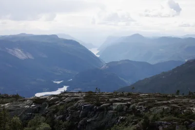
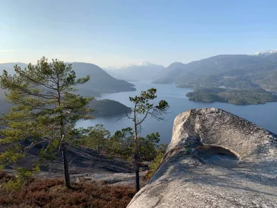
Grånåfjell - mountain views from Seljord's southernmost point
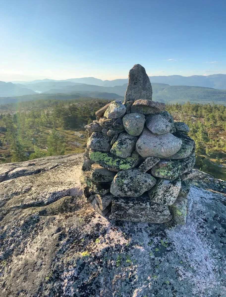
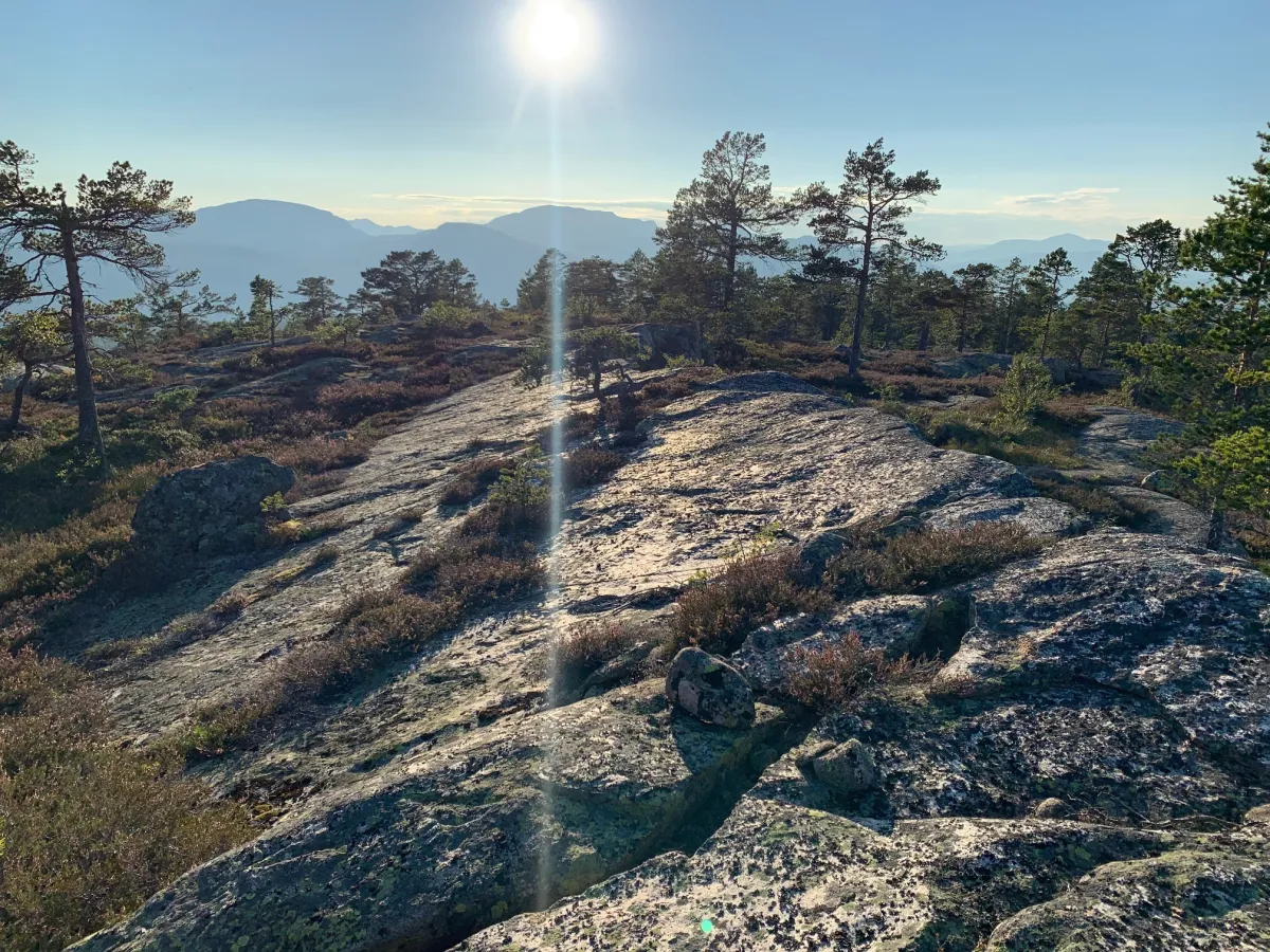
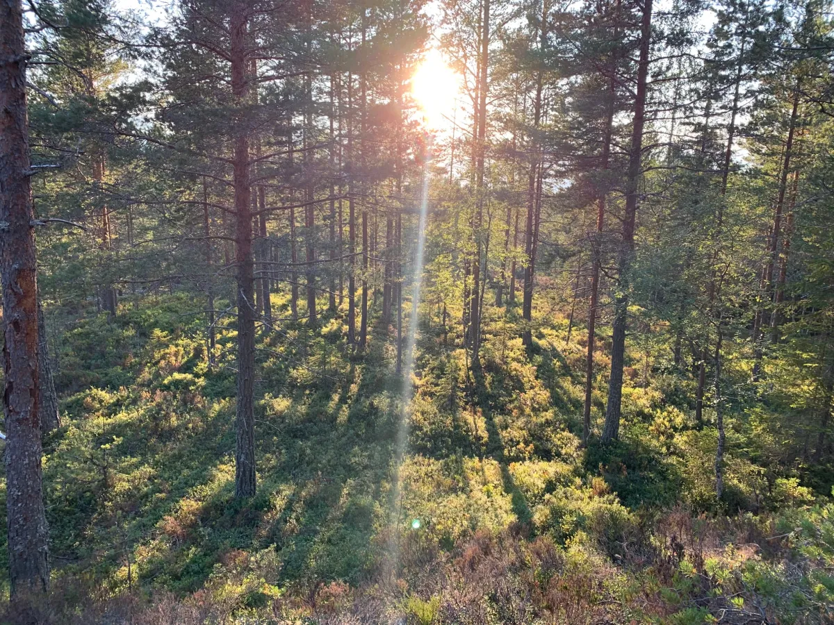
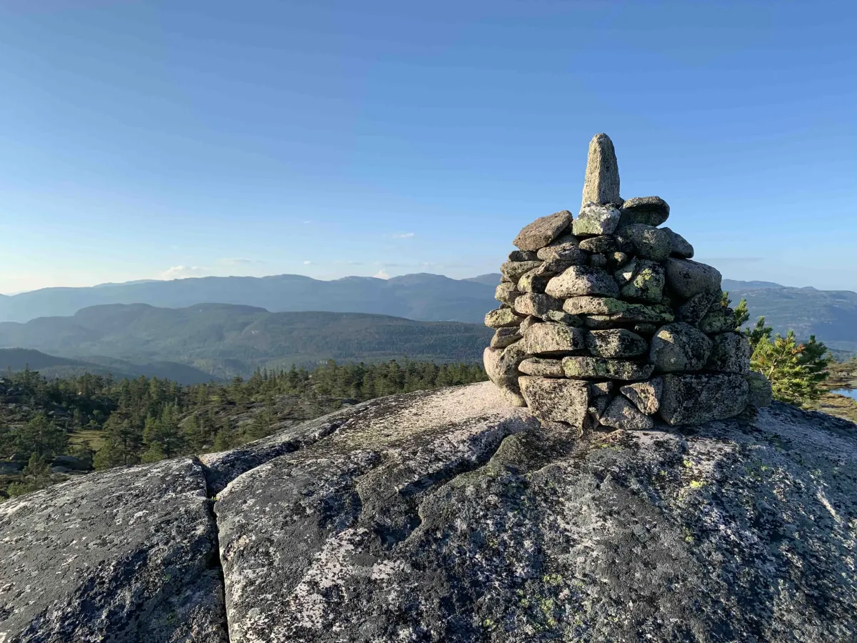
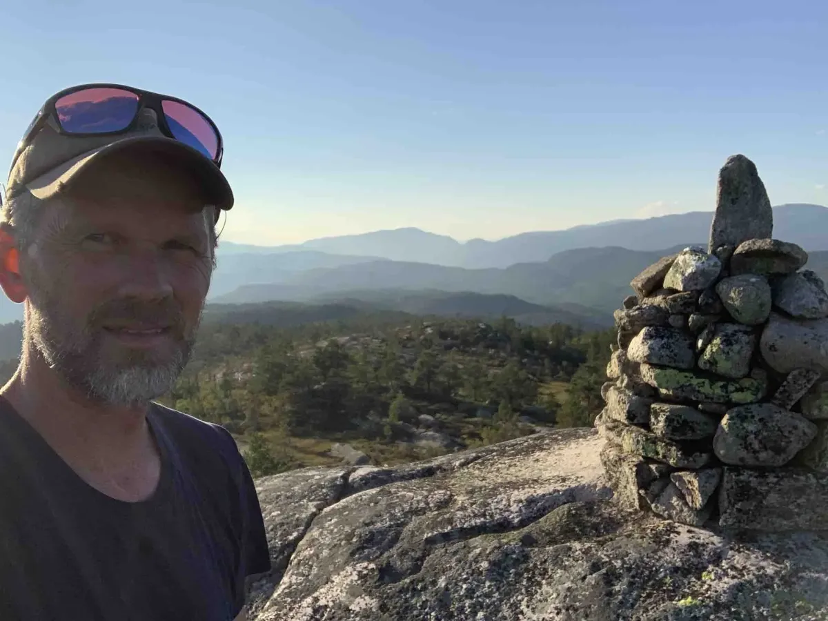
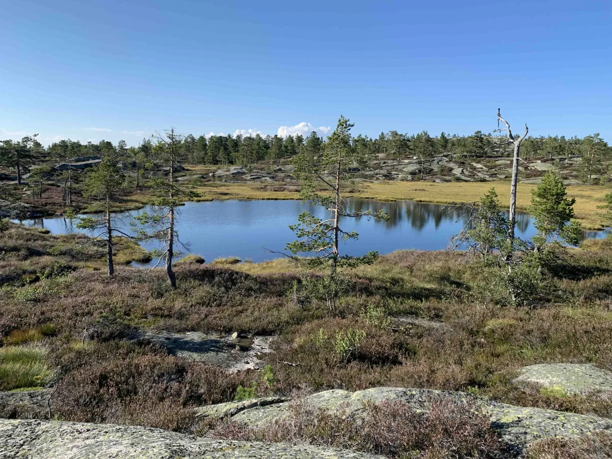
Grånåfjell (679 m) is located on Øverlandsheii and is a fantastic vantage point that offers magnificent panoramic views from Seljord's southernmost point. To reach the summit, you need to be ready for a long forest hike from Trollbotn - a hike that takes you through varied nature and provides great insight into Seljord's border with Kviteseid, Bø and Lunde.
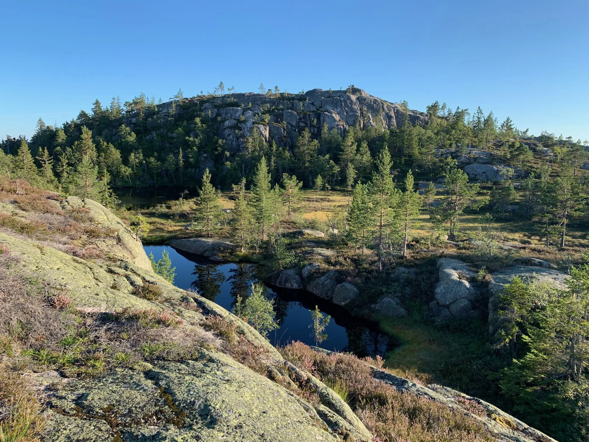
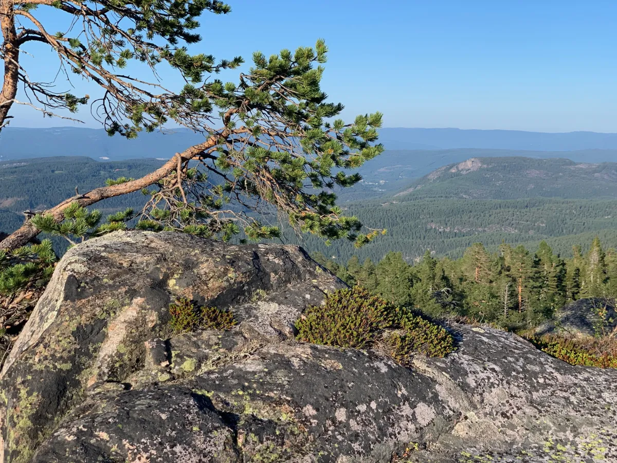
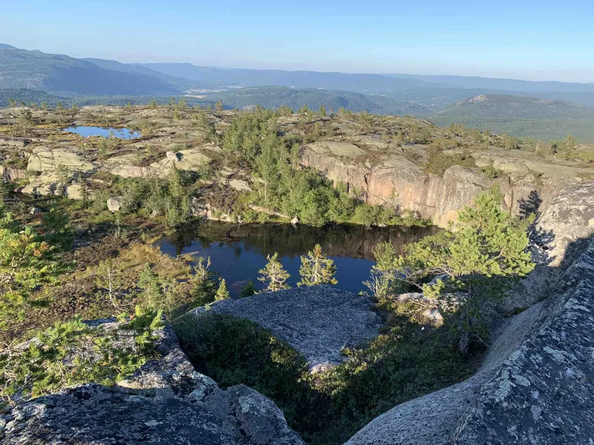
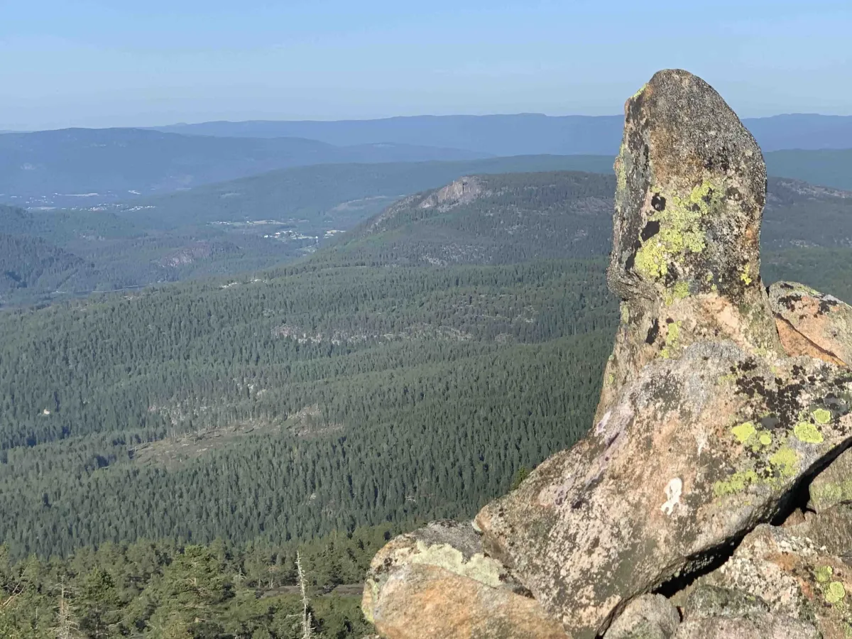
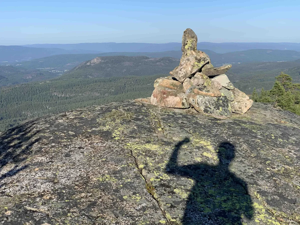
The hike goes to Grånåfjell, which lies at 651 meters above sea level and marks an important border point between the four municipalities. When you reach the top, the landscape opens up and you get a panoramic view of the whole of Lifjell - from Bjørgenuten to Øysteinnatten. Ahead you'll see the impressive Gygrestolen, which you may not have seen from this angle before, and beyond Uvdalsheia and Flåvatn.
At the top of Grånåfjell, you can also enjoy the view of the beautiful rocky mountains, which spread down into Kviteseid, while you look back towards Brokefjell and the majestic Skorve, which towers in silhouette in the sky.
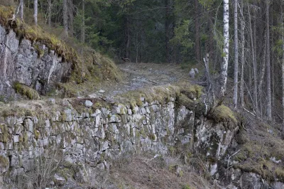
The hike to Grånåfjell is not for those who want a short hike - it's a solid 16-17 km march, so it's important to spend the whole day on this hike. There are several ways to reach the mountain, but Trollbotn is the most exciting, with good trails and challenging terrain.
For those who want to simplify the trip, it may be easier to start from the Bø side or Flåbygd, but the longer and more challenging route from Trollbotn is the most rewarding for those who want to experience the whole area up close.
Facts about the trip:
- Length: 16-17 km (round trip)
- Altitude: 679 m above sea level
- The hike takes all day - perfect for a long hike in the mountains
- Level: Demanding - long hike with a lot of climbing
- Views: Lifjell, Gygrestolen, Uvdalsheia, Flåvatn, Skorve, Brokefjell
Hiking tips:
- Start early in the day to get the most out of the trip.
- Dress well for the weather conditions and wear good hiking boots.
- Bring enough water and food for a long day hike.
- A map or GPS can be useful in the more challenging terrain.
Grånåfjell (679 m) is located on Øverlandsheii and is a fantastic vantage point that offers magnificent panoramic views from Seljord's southernmost point. To reach the summit, you need to be ready for a long forest hike from Trollbotn - a hike that takes you through varied nature and provides great insight into Seljord's border with Kviteseid, Bø and Lunde.
The hike goes to Grånåfjell, which lies at 651 meters above sea level and marks an important border point between the four municipalities. When you reach the top, the landscape opens up and you get a panoramic view of the whole of Lifjell - from Bjørgenuten to Øysteinnatten. Ahead you'll see the impressive Gygrestolen, which you may not have seen from this angle before, and beyond Uvdalsheia and Flåvatn.
At the top of Grånåfjell, you can also enjoy the view of the beautiful rocky mountains, which spread down into Kviteseid, while you look back towards Brokefjell and the majestic Skorve, which towers in silhouette in the sky.
The hike to Grånåfjell is not for those who want a short hike - it's a solid 16-17 km march, so it's important to spend the whole day on this hike. There are several ways to reach the mountain, but Trollbotn is the most exciting, with good trails and challenging terrain.
For those who want to simplify the trip, it may be easier to start from the Bø side or Flåbygd, but the longer and more challenging route from Trollbotn is the most rewarding for those who want to experience the whole area up close.
Facts about the trip:
- Length: 16-17 km (round trip)
- Altitude: 679 m above sea level
- The hike takes all day - perfect for a long hike in the mountains
- Level: Demanding - long hike with a lot of climbing
- Views: Lifjell, Gygrestolen, Uvdalsheia, Flåvatn, Skorve, Brokefjell
Hiking tips:
- Start early in the day to get the most out of the trip.
- Dress well for the weather conditions and wear good hiking boots.
- Bring enough water and food for a long day hike.
- A map or GPS can be useful in the more challenging terrain.
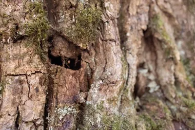
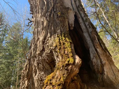
Photos (6)
1 / 6

Videos (1)
Digital tur til Grånåfjell
User photos (6)
1 / 6
Practical info
- Direction
- tur-retur
- Season
- Summer
- Trail quality
- 2/5
- Solitude
- 7/5
Got any good trail tips?
Seljord
Telemark
fintur.no
Telemark
fintur.no