Grunningsdalen til Slåkja
Fee
The road or car park has a fee. Bring small change. Some take cards and Vipps.
Weather forecast
Hentar vêrdata…
Kjelde: Yr.no (Meteorologisk institutt)
Map and route
S Start
M Finish
▲ Highest point
▼ Lowest point
km Main route
↕ m Elevation
About this hike
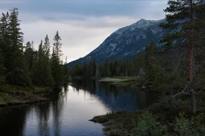
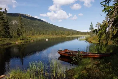
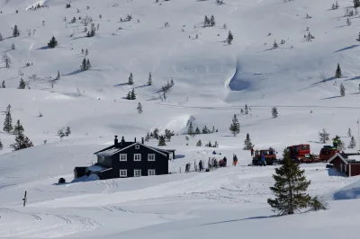
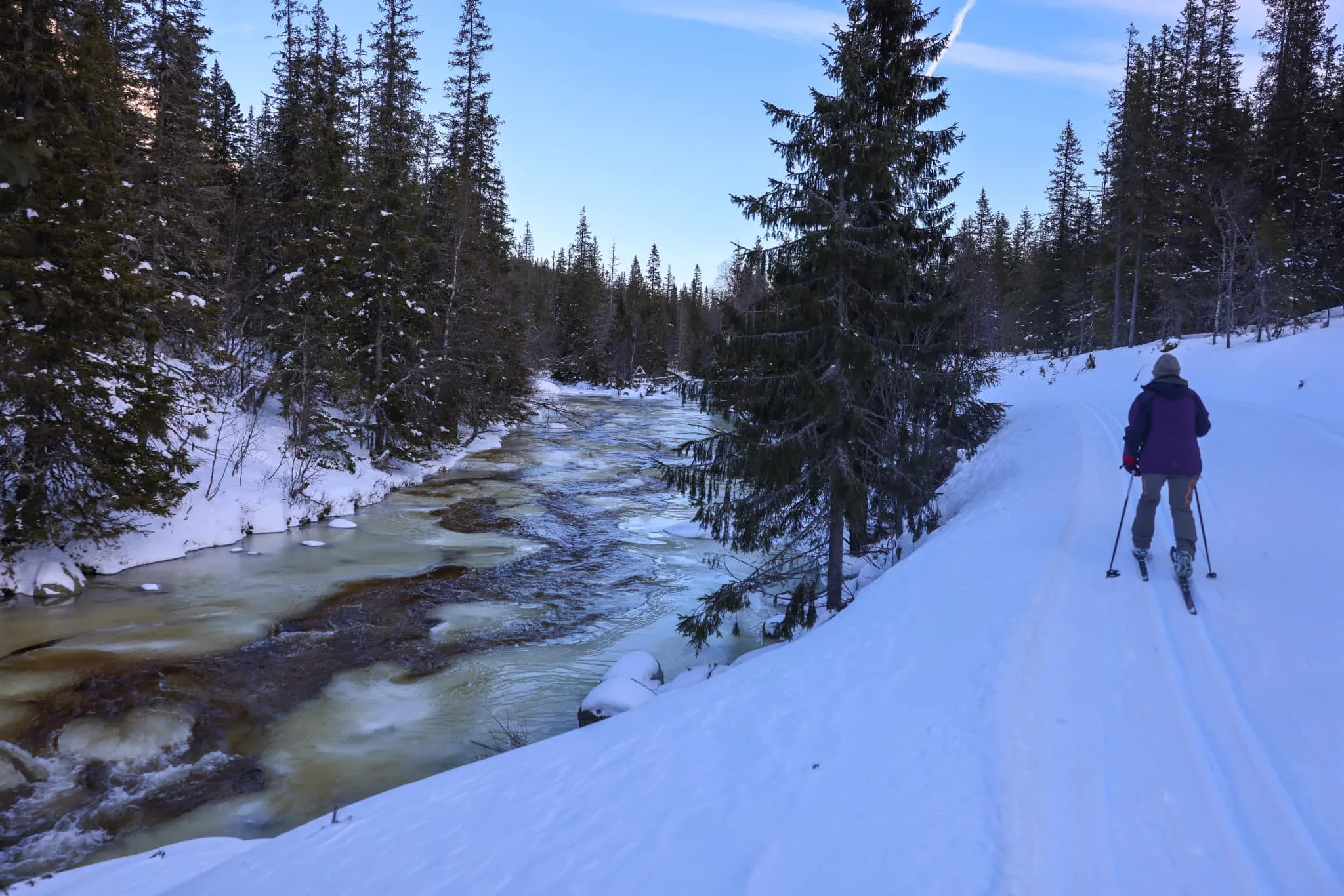
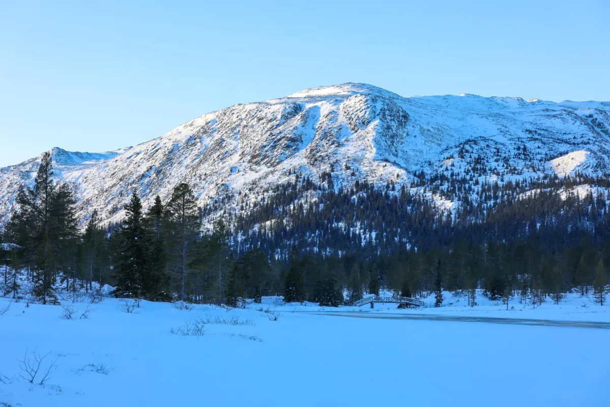
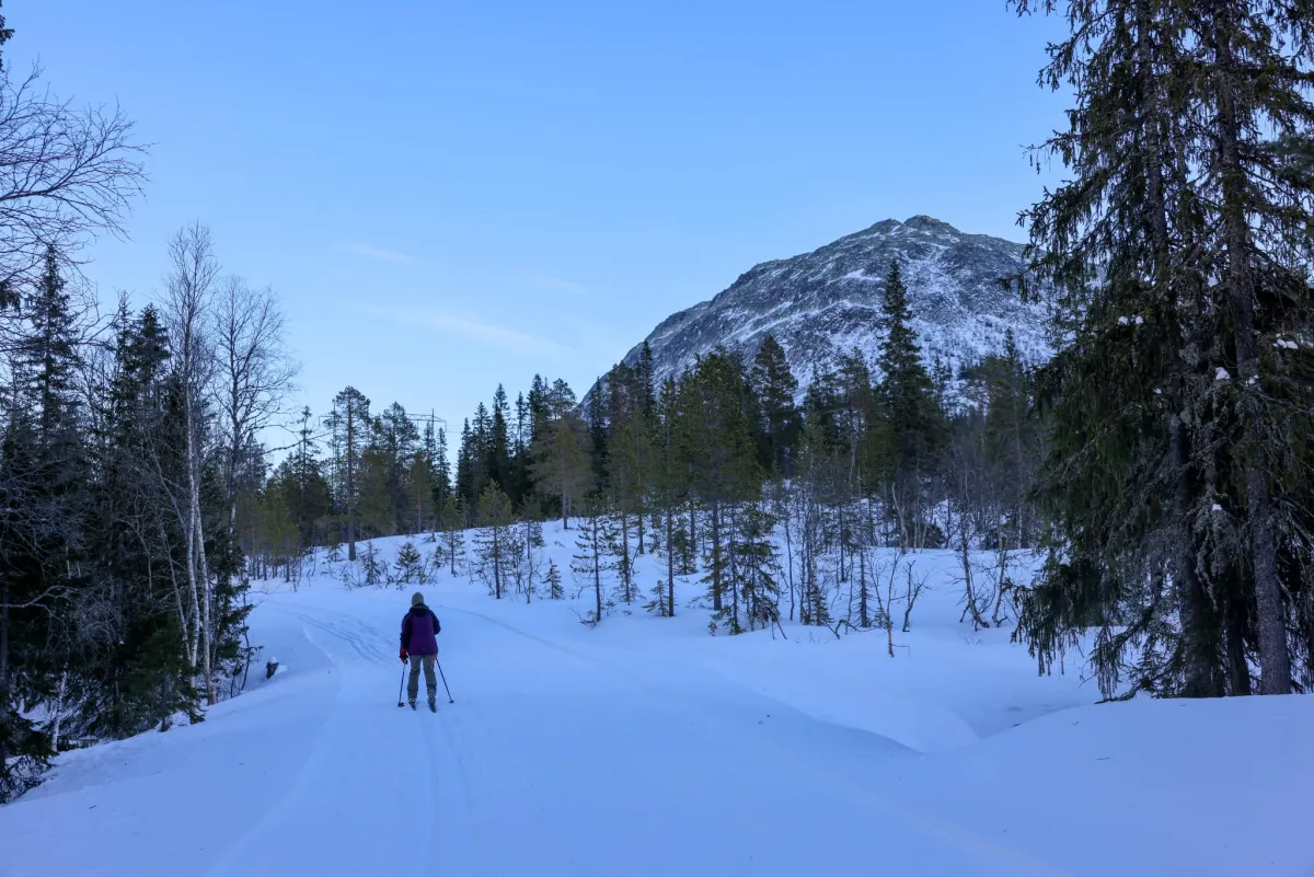
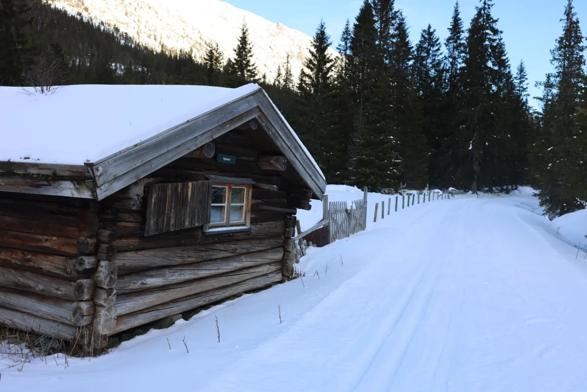
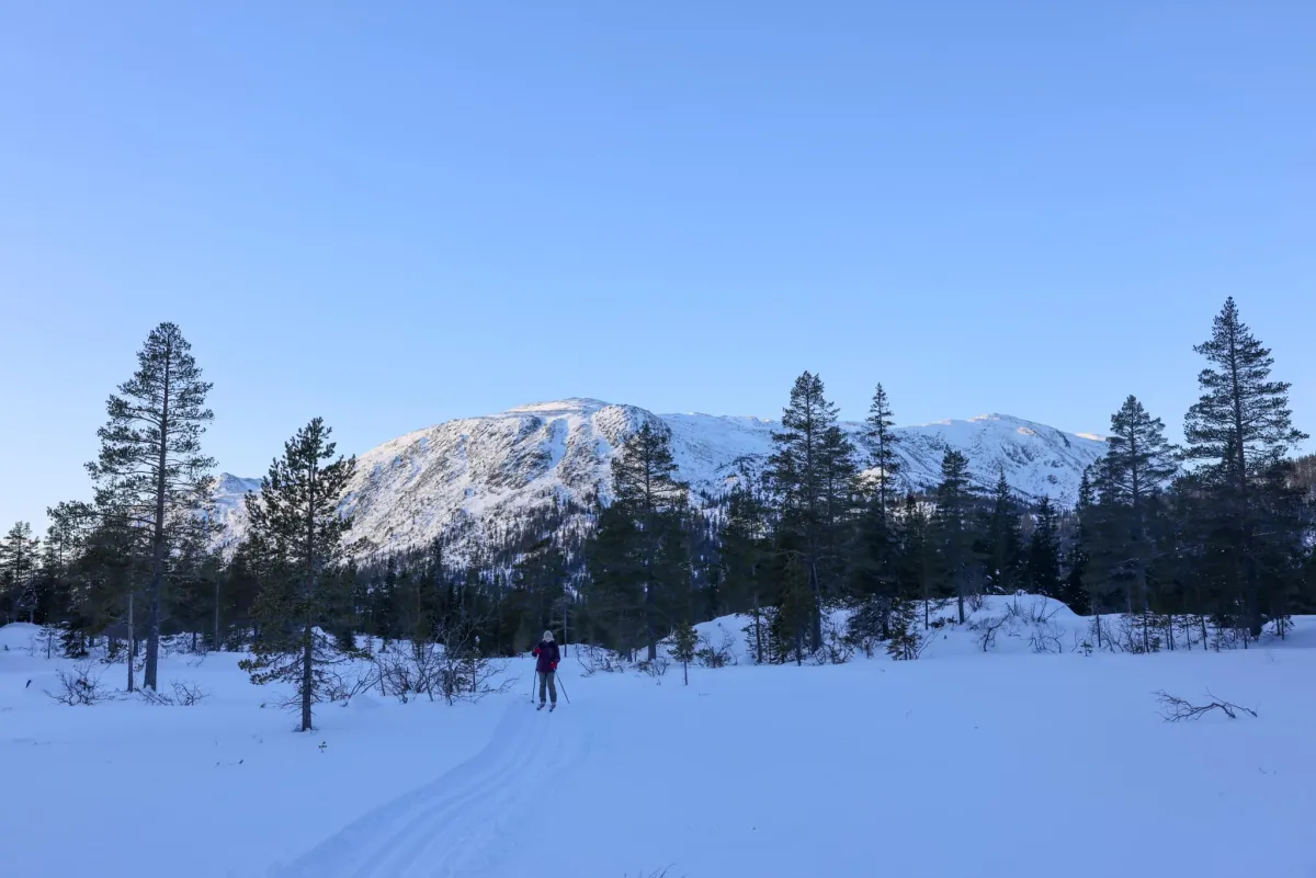
Grunningsdalen up to Slåkja. Into the wilderness on skis. This area is just as beautiful in winter as it is in summer. When the good people in Grimås løypelag do such a good job of preparing the trail, people should come and experience the joy of skiing. Fantastic trails, plain and simple. In combination with a good temperature (-6) and total silence, this is 100%. Good parking down at the junction to Grimås. A slight gradient provides a low-key ski tour for most people. Both young and old. A total ascent of 165 m and a length of approx. 7 km each way (14 km) is an excellent day or afternoon trip.
Photos (5)
1 / 5

Practical info
- Direction
- tur-retur
- Season
- Winter
- Trail quality
- 5/5
- Solitude
- 7/5
Got any good trail tips?
Seljord
Telemark
fintur.no
Telemark
fintur.no