Gunnarstaulnuten
Weather forecast
Hentar vêrdata…
Kjelde: Yr.no (Meteorologisk institutt)
Map and route
S Start
M Finish
▲ Highest point
▼ Lowest point
km Main route
km Alternativ rute
↕ m Elevation
About this hike
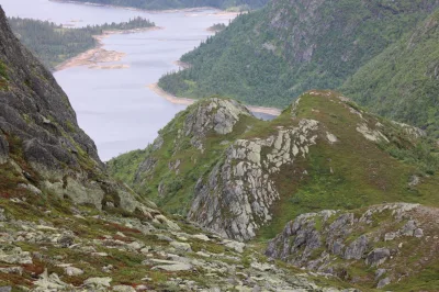
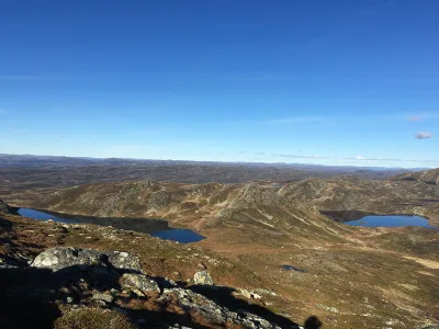
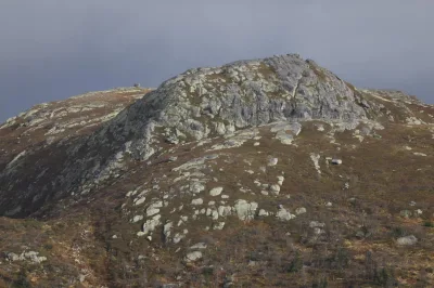
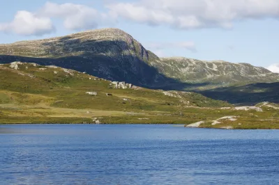
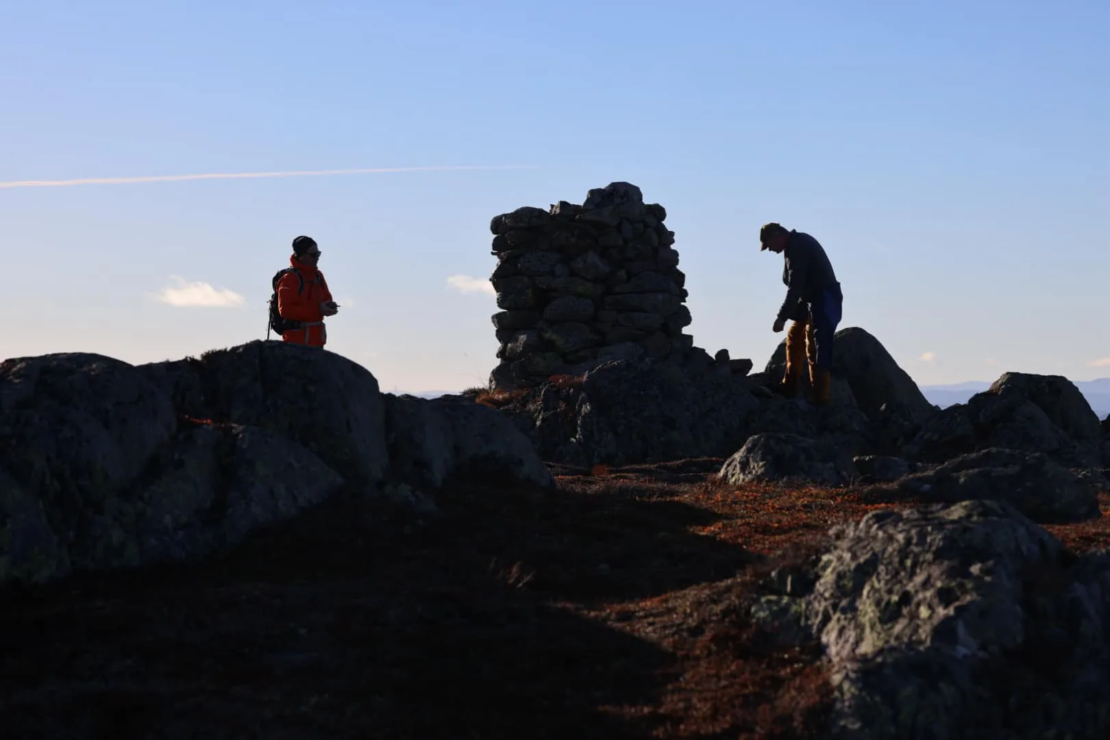
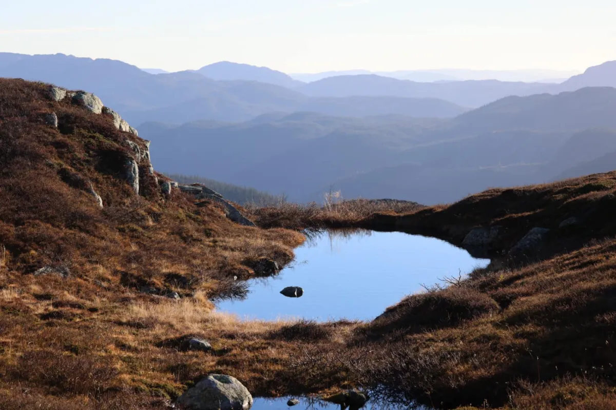
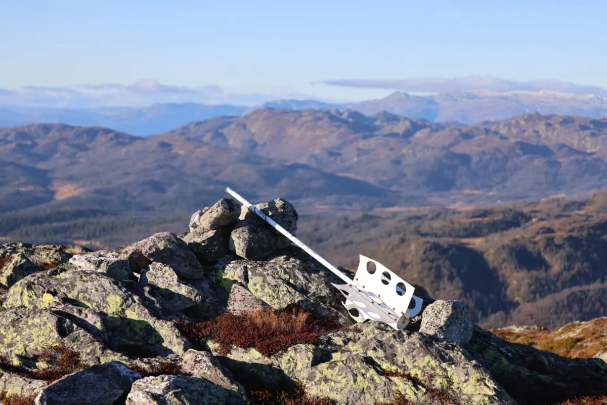
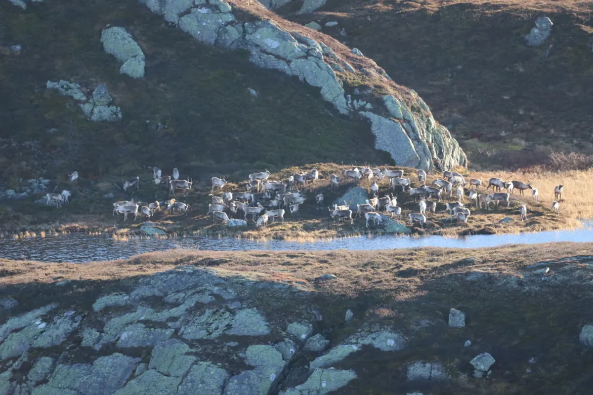
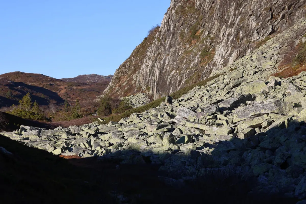
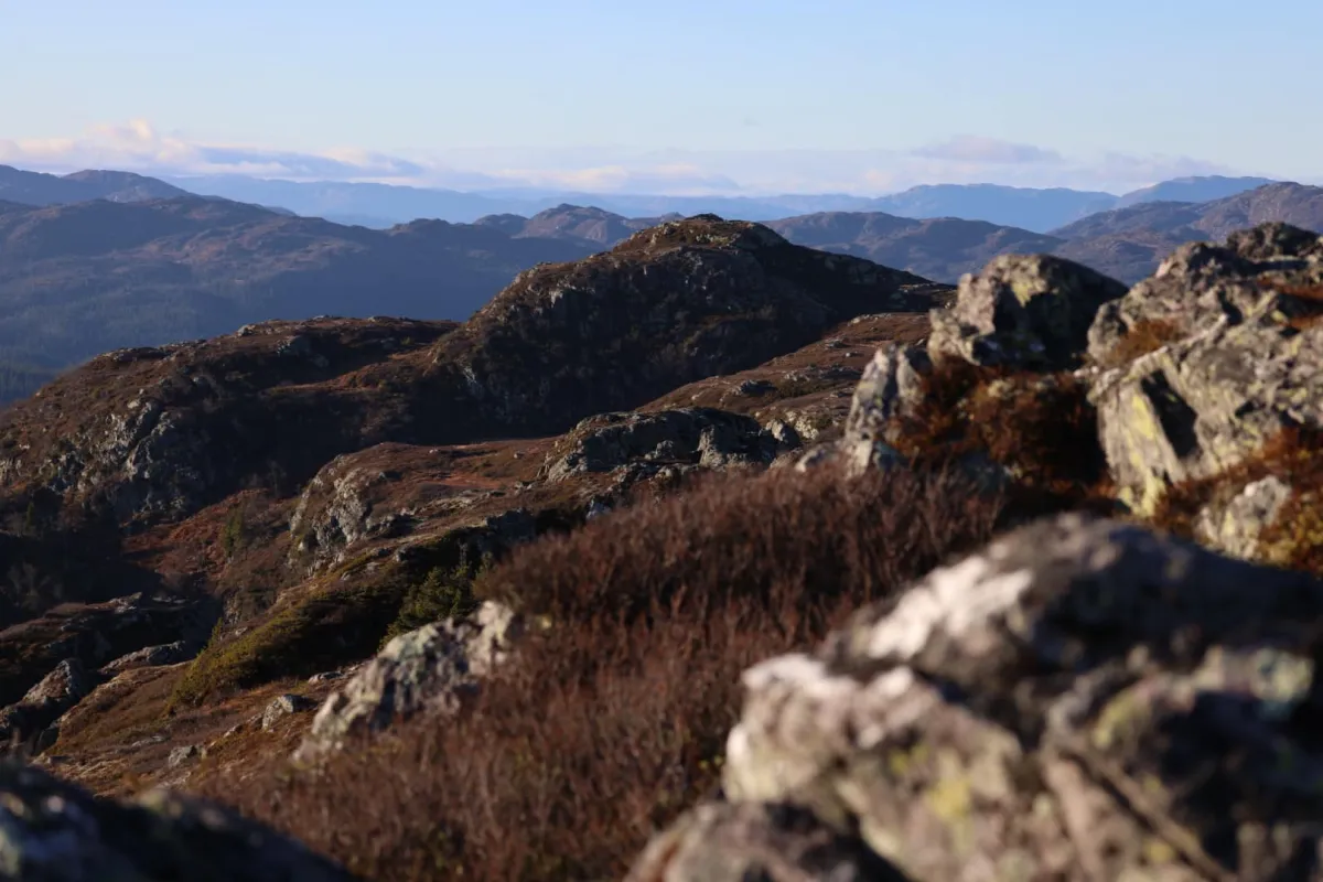
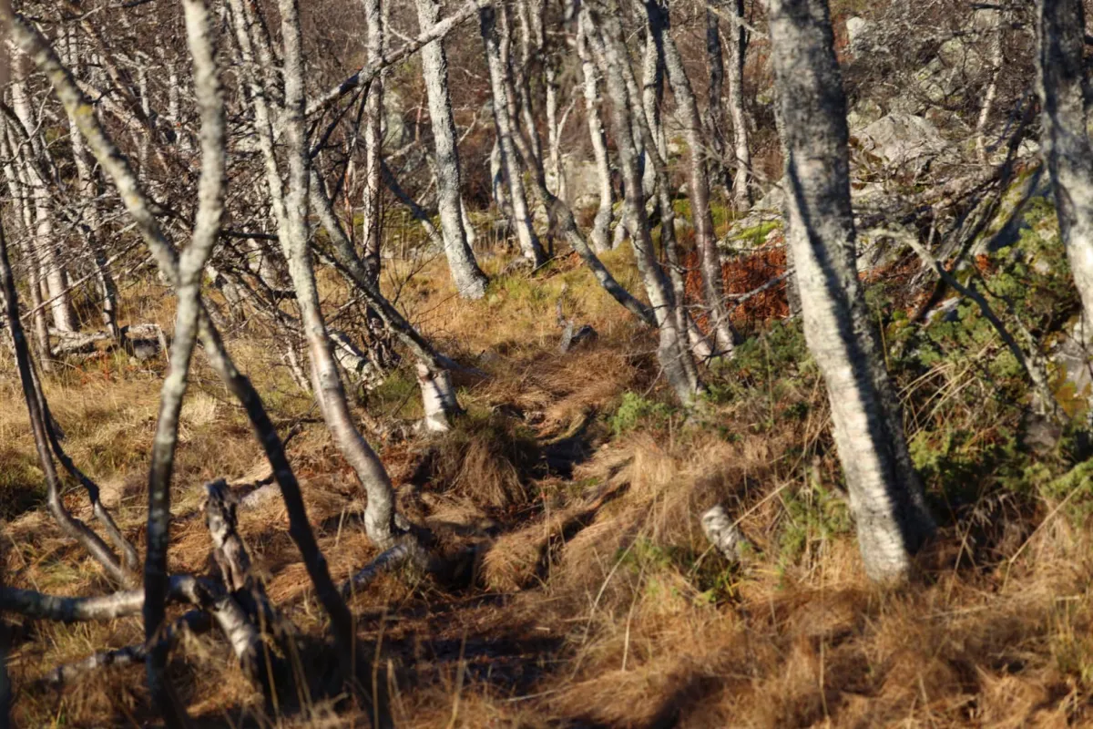
Gunnarstaulnuten (1203 m). Imagine being able to take a late autumn trip, with glorious weather, up Åmotsdal's fantastic mountains. The old guys' annual trip ended up here this year. We started at Småtjønn early today. We went to Krakset and up to Fyljomstaulstjønni and then up to Gunnarstaulnuten (Åmotsdal's highest peak). From there I went back via Snofonnskar and towards Finnebu. And then down towards Sletteva. We even got to see the reindeer herd in there. An experience to remember. Total length 17 km and around 700 meters of ascent. Thanks for the trip!
Photos (7)
1 / 7

Practical info
- Direction
- tur-retur
- Season
- Summer
- Trail quality
- 2/5
- Solitude
- 6/5
Got any good trail tips?
Åmotsdal
Telemark
fintur.no
Telemark
fintur.no