Gygrestolen

Weather forecast
Hentar vêrdata…
Kjelde: Yr.no (Meteorologisk institutt)
Map and route
S Start
M Finish
▲ Highest point
▼ Lowest point
km Main route
km Alternativ rute
↕ m Elevation
About this hike
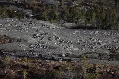
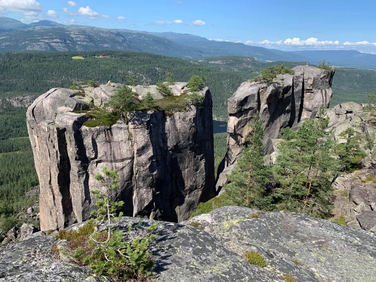
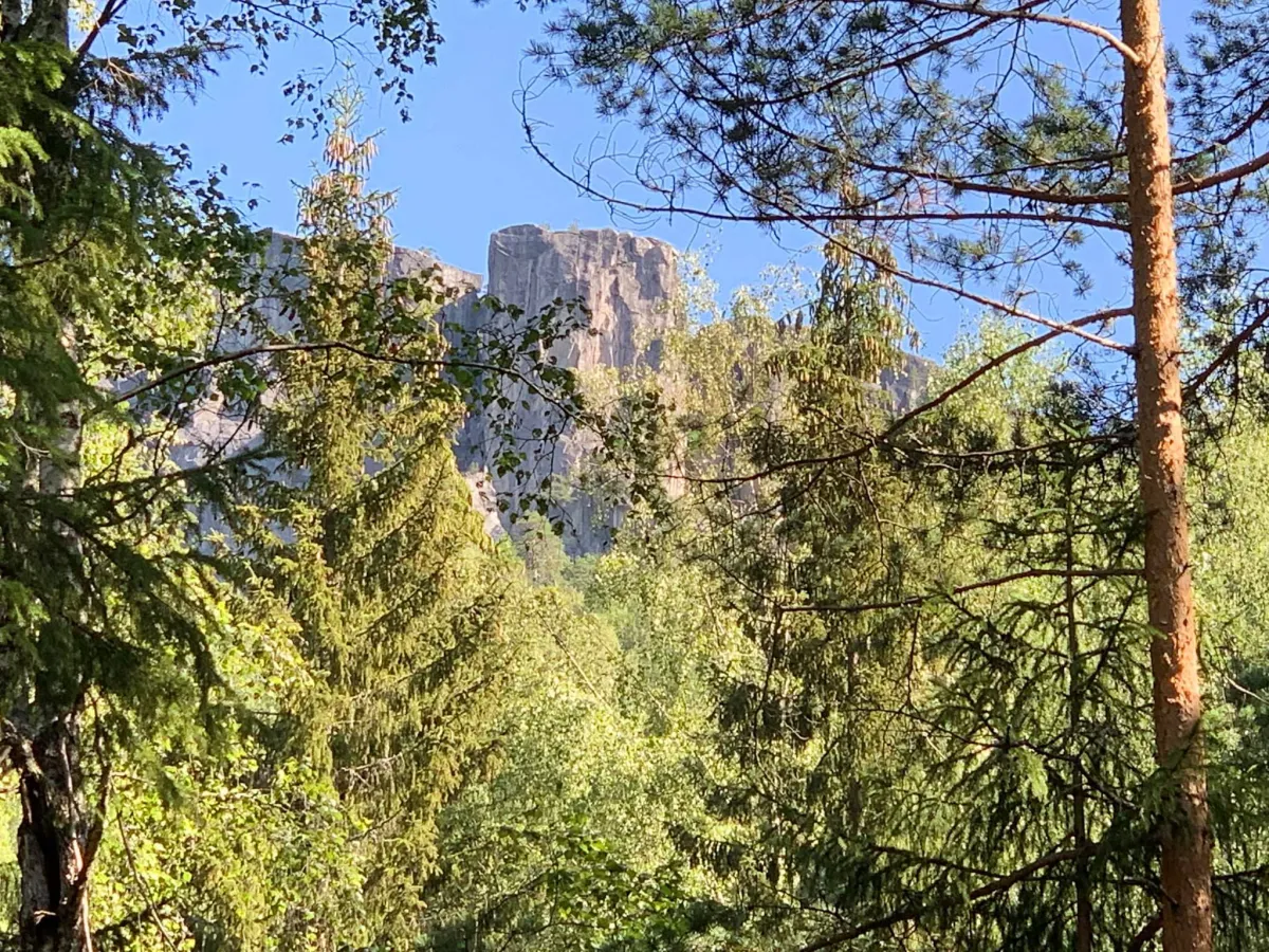
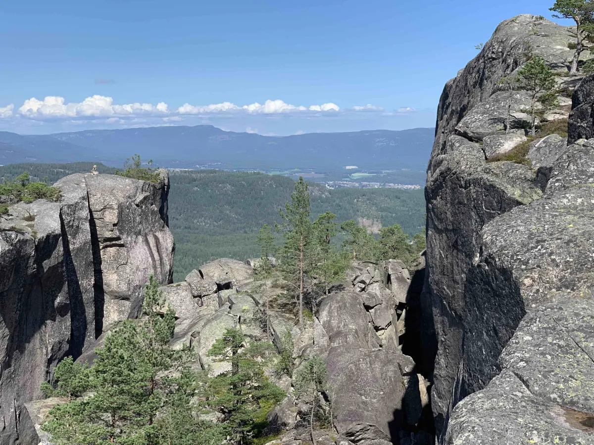
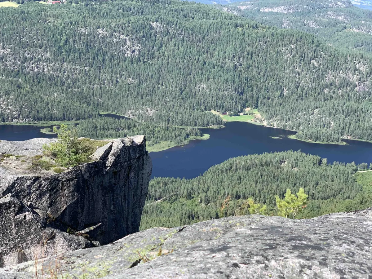
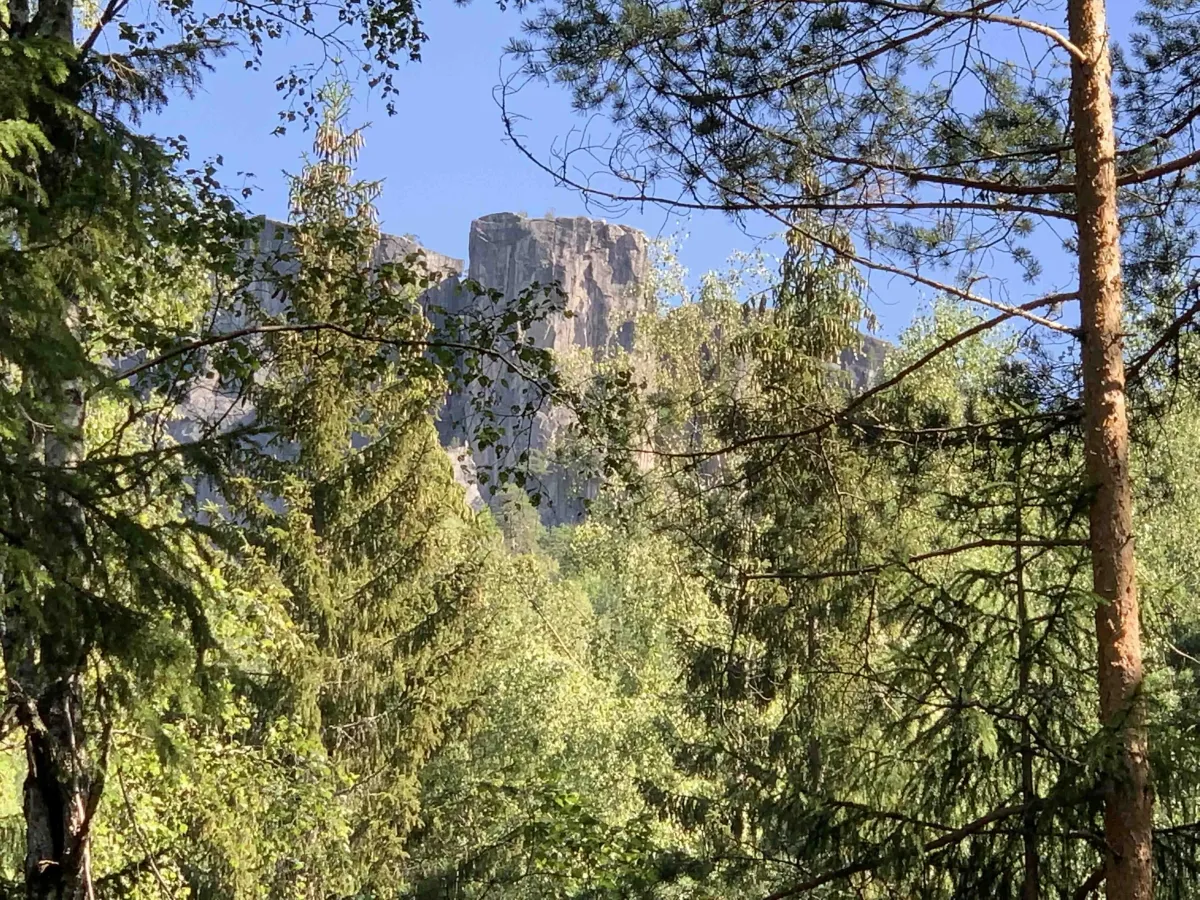
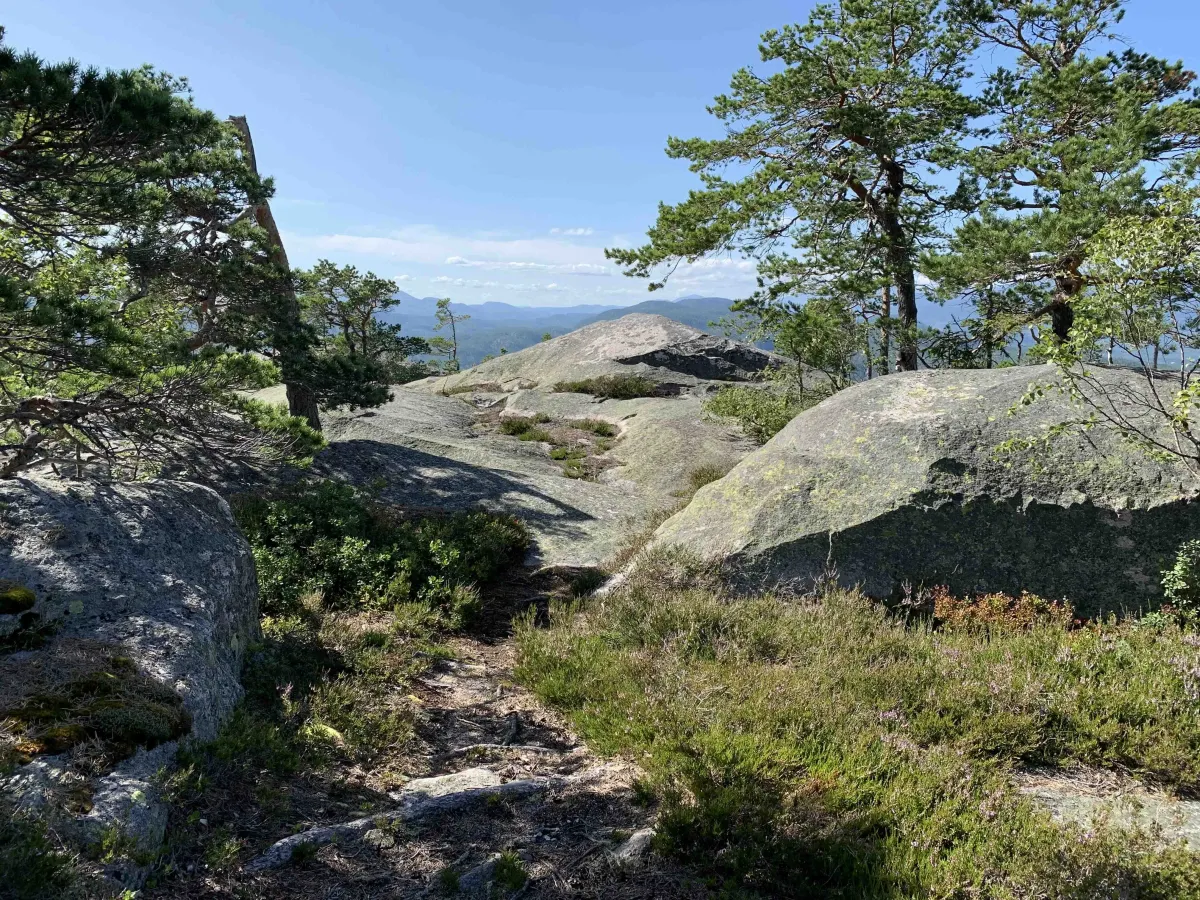
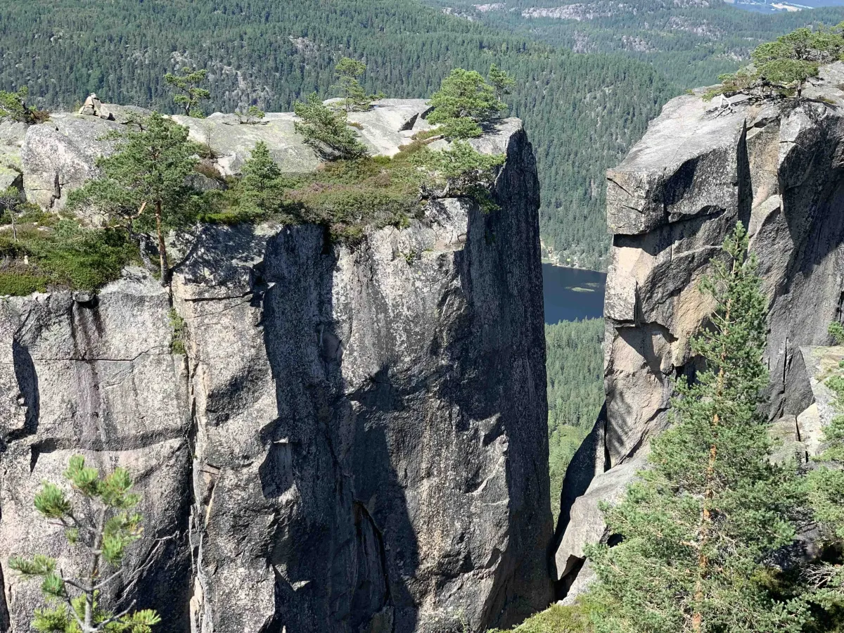
The hike up to Gygrefjellet (477 m) and onwards to Gygrestolen (490 m) offers beautiful and slightly adventurous paths through varied terrain. Here you'll experience both nature and a touch of magical atmosphere in an area that has inspired many legends and stories. Gygrestolen rises up like an impressive rock formation, with a characteristic rocky outcrop that resembles a chair back - hence the name.
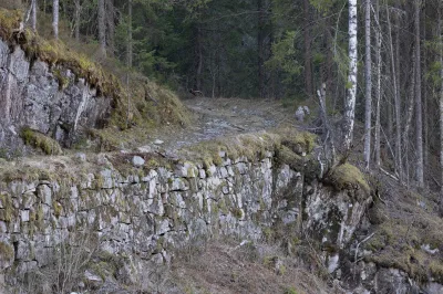
There are two main routes to the top: one goes around the back of the mountain, around and up - a more gentle and family-friendly variant. The other takes you straight up the hillside via the old path, which is steeper and more demanding, but also faster. Both paths are well cleared and marked thanks to Bø Turlag, which has made a tremendous effort to prepare the area for hikers.
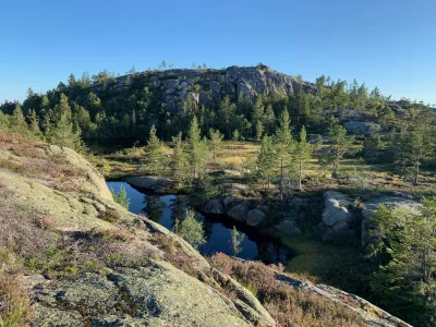
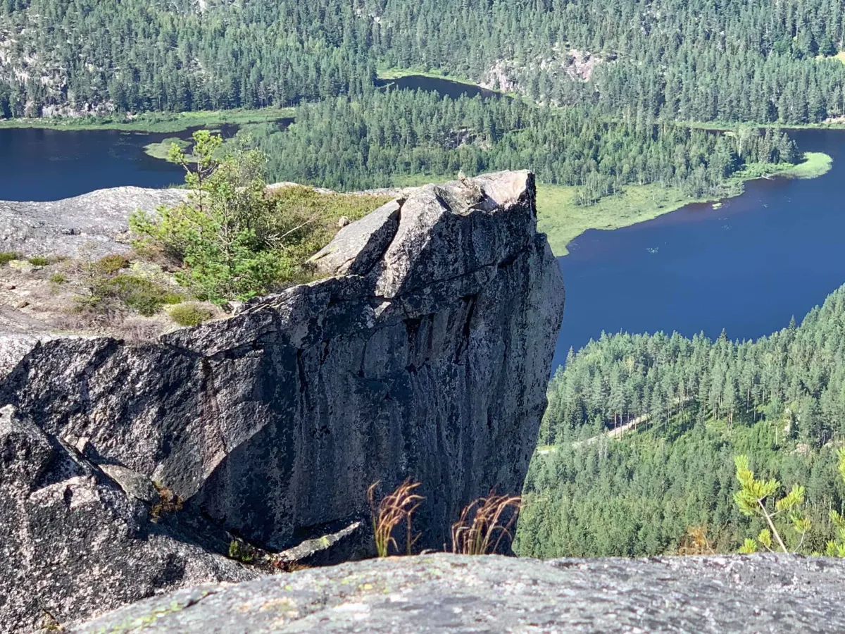
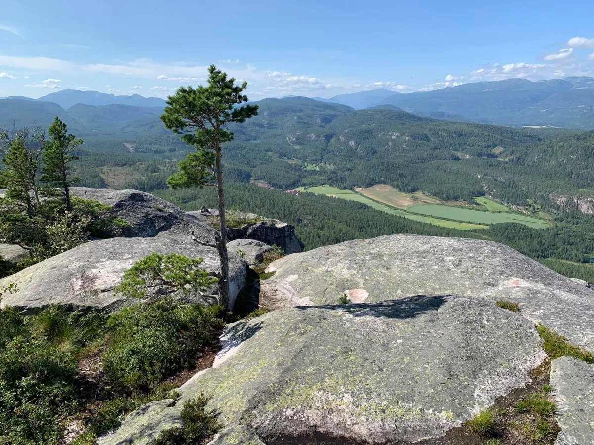
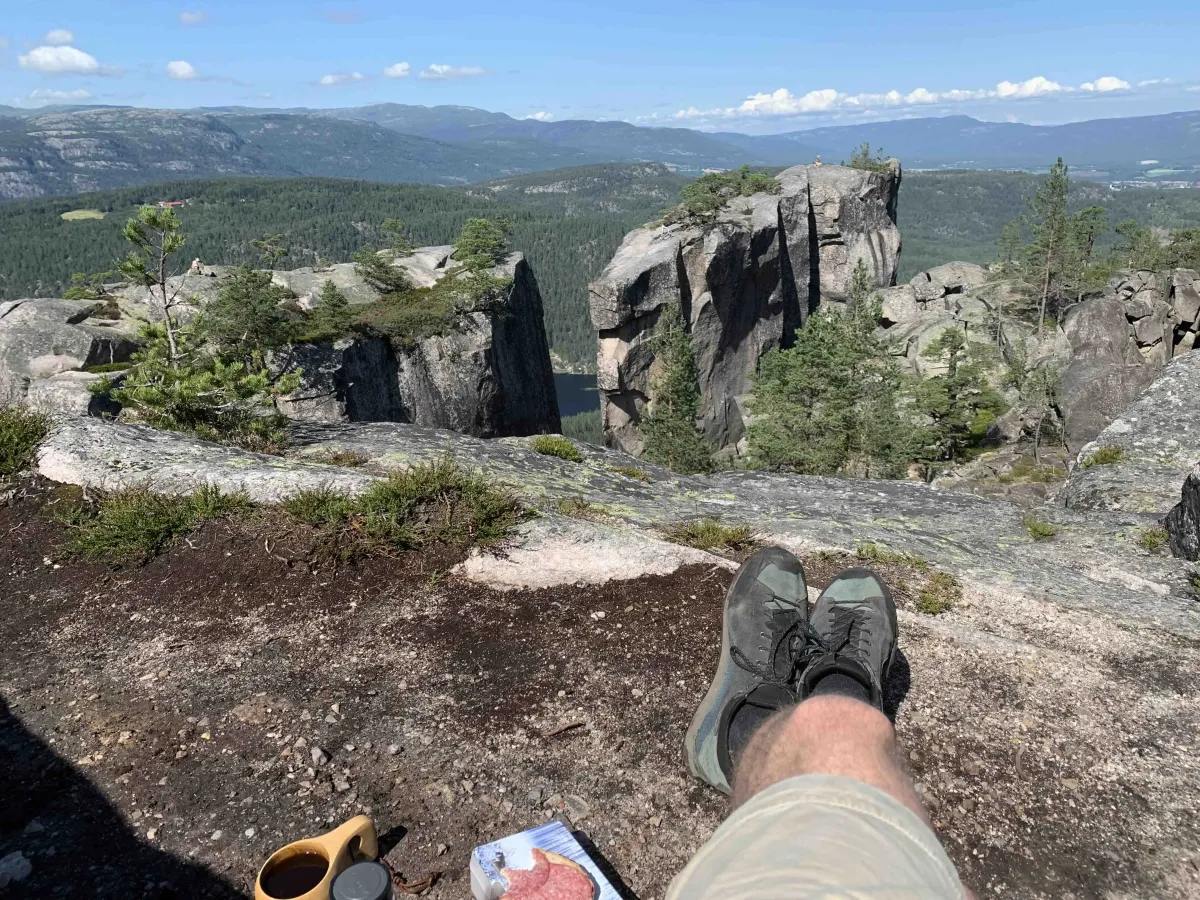
From the top you get a wide view of Bø and large parts of mid-Telemark, with mountains and valleys spreading out in all directions. Rocky hills and heather moorland invite you to take a break or enjoy a cup of coffee with a view. Gygrestolen is not just a hiking destination, but a nature experience you won't soon forget.
There are two main routes to the top: one goes around the back of the mountain, around and up - a more gentle and family-friendly variant. The other takes you straight up the hillside via the old path, which is steeper and more demanding, but also faster. Both paths are well cleared and marked thanks to Bø Turlag, which has made a tremendous effort to prepare the area for hikers.
From the top you get a wide view of Bø and large parts of mid-Telemark, with mountains and valleys spreading out in all directions. Rocky hills and heather moorland invite you to take a break or enjoy a cup of coffee with a view. Gygrestolen is not just a hiking destination, but a nature experience you won't soon forget.
Photos (4)
1 / 4
Videos (1)
Gygrestolen i Bø
User photos (6)
1 / 6
Practical info
- Direction
- tur-retur
- Season
- Summer
- Trail quality
- 3/5
- Solitude
- 5/5
Got any good trail tips?
Midt-Telemark
Telemark
fintur.no
Telemark
fintur.no