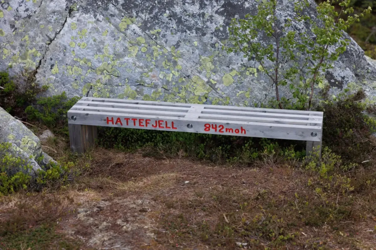
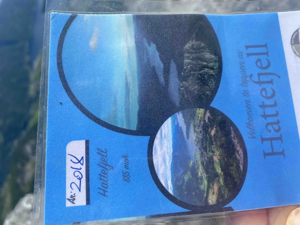
Hattefjell
 T
T
Weather forecast
Hentar vêrdata…
Kjelde: Yr.no (Meteorologisk institutt)
Map and route
S Start
M Finish
▲ Highest point
▼ Lowest point
km Main route
↕ m Elevation
About this hike
Hattefjell - short and hard close-up hike with great views
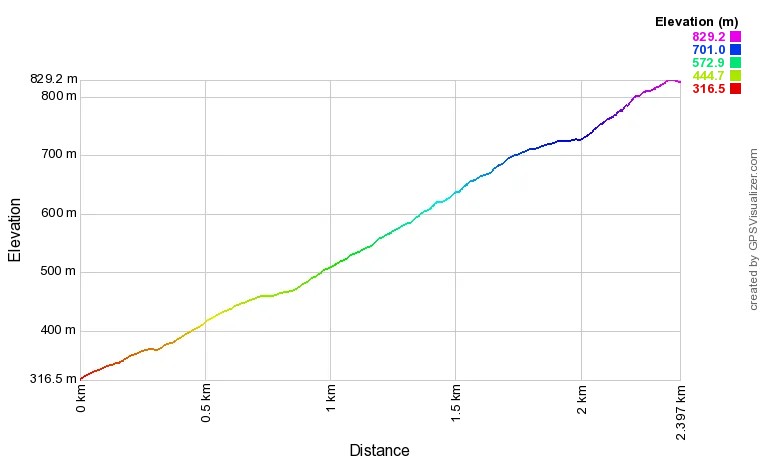
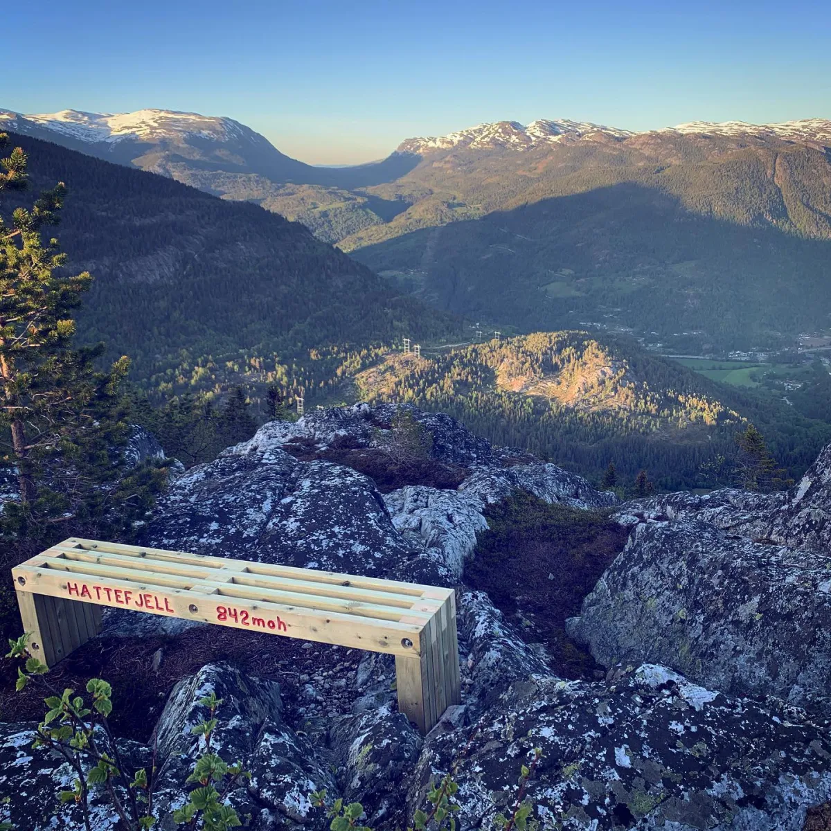
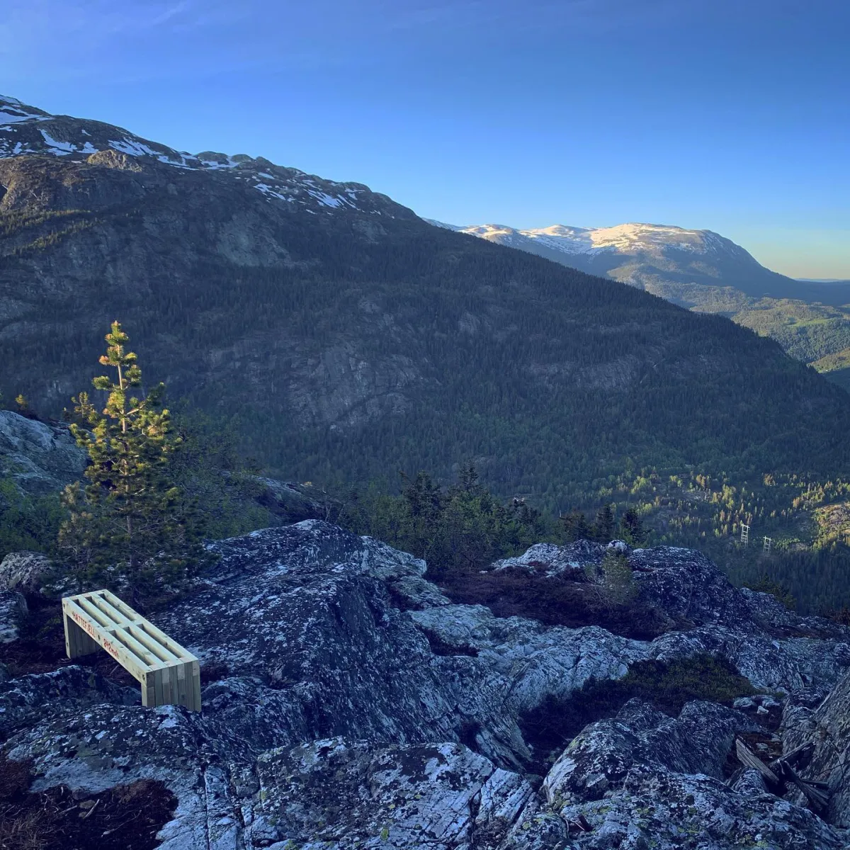
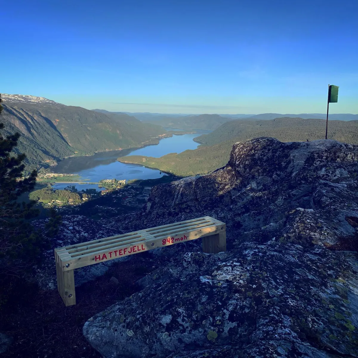
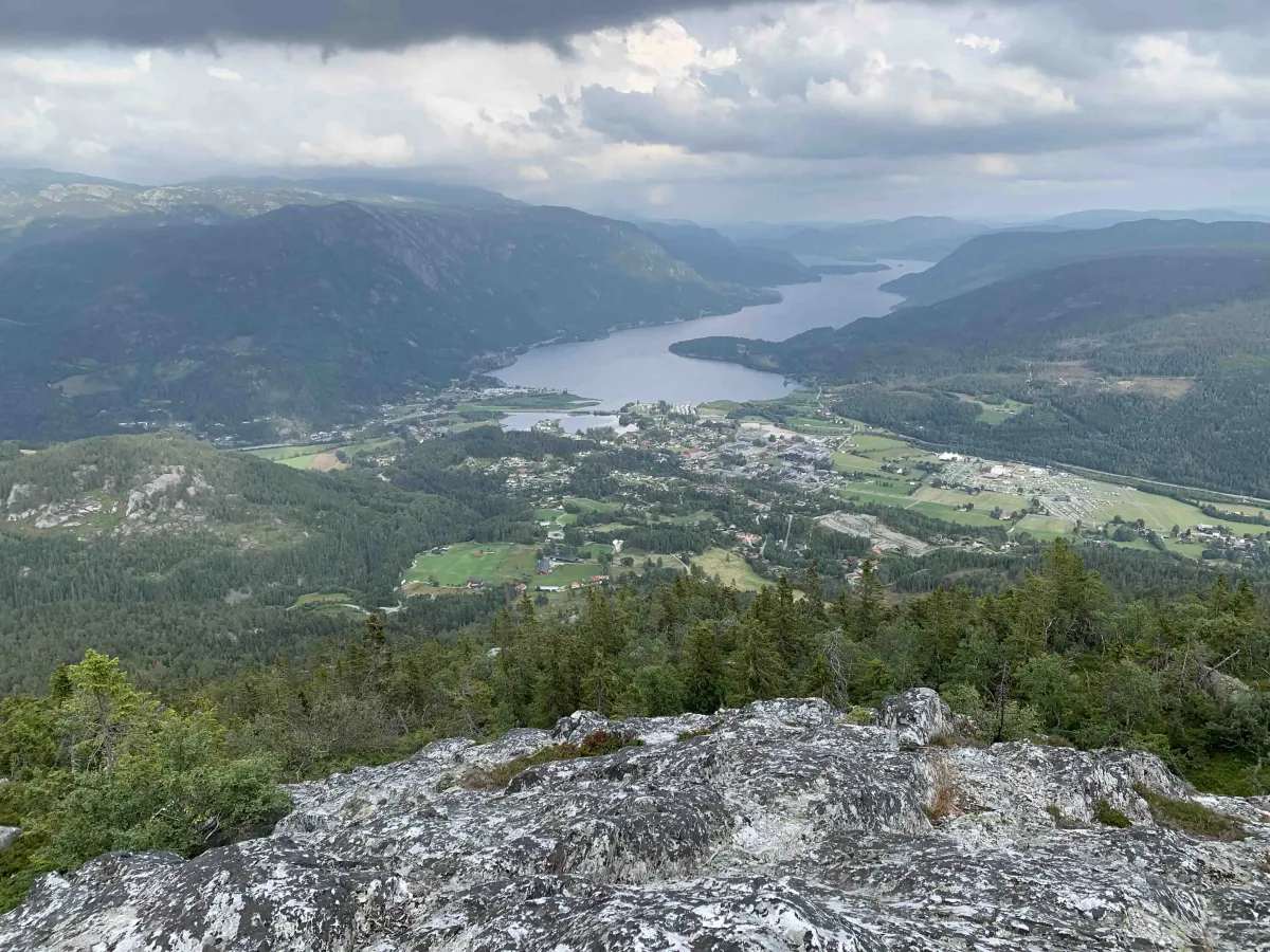
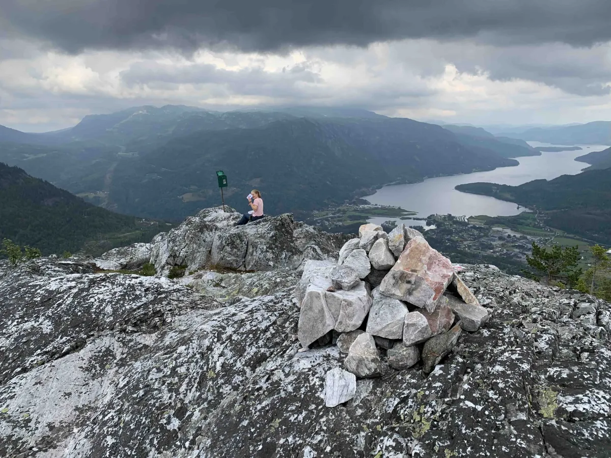
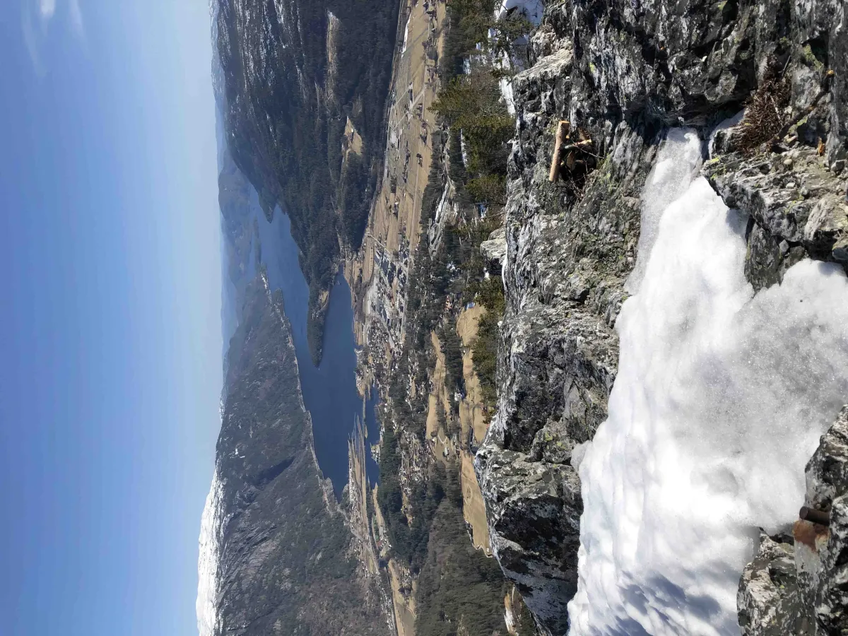
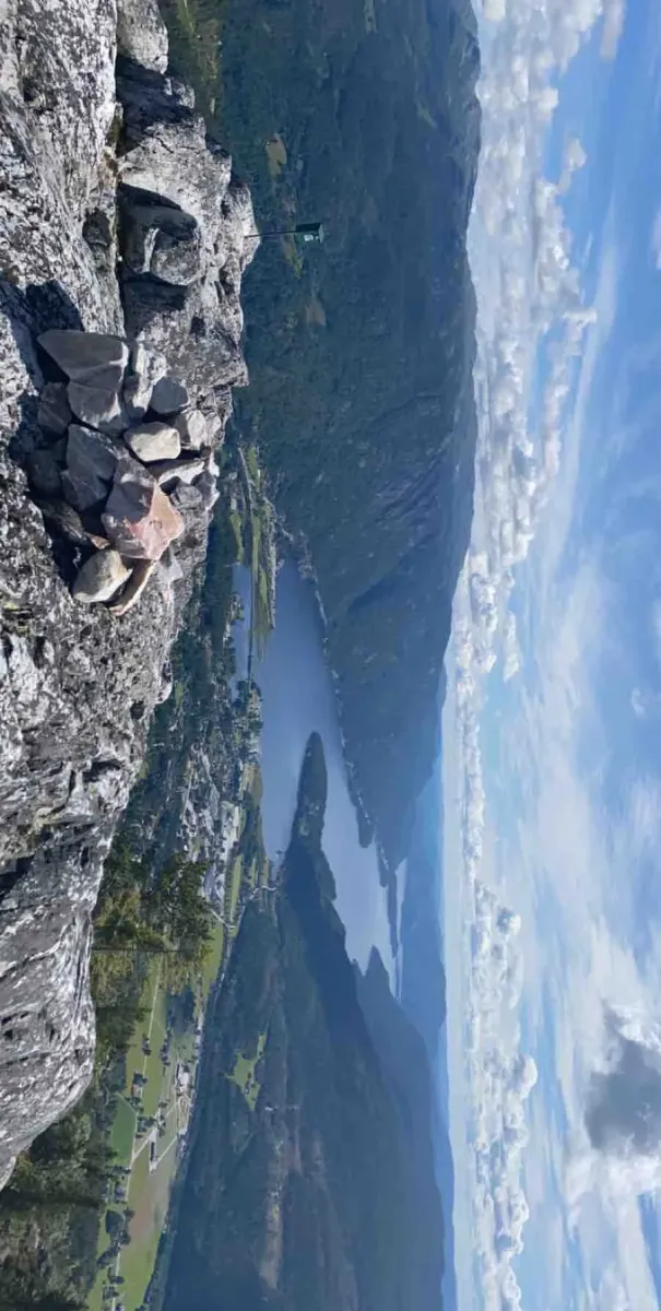
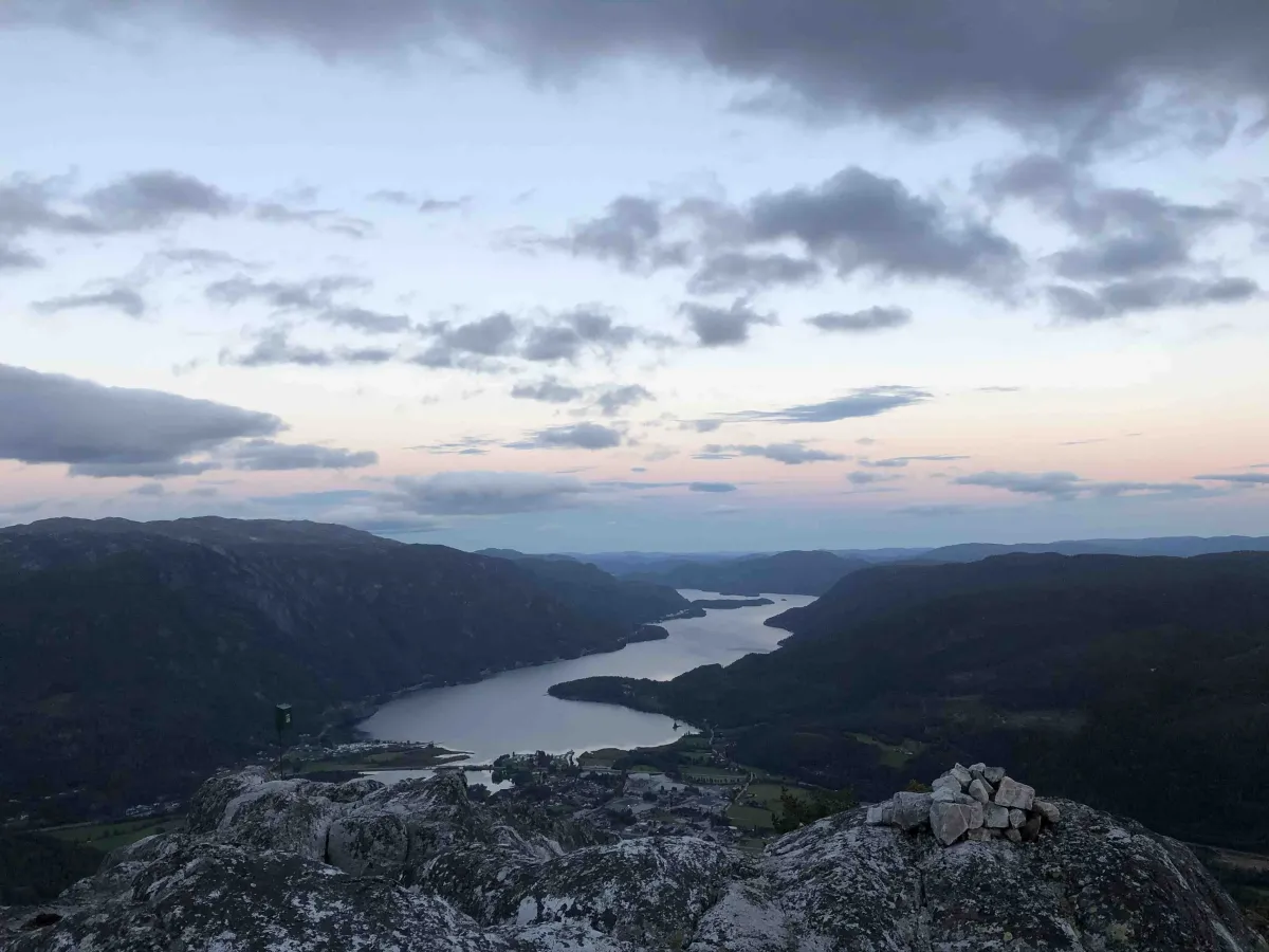
Hattefjell (approx. 880 m) is a powerful short hike from Seljord that offers a steep ascent and one of the best views of Seljordsvatnet and the surrounding area. The hike is relatively short, but with almost 500 vertical meters of ascent, you'll really feel it in your thighs, calves and knees. Perfect for those who want a quick and efficient mountain experience - and a wonderful reward at the top.
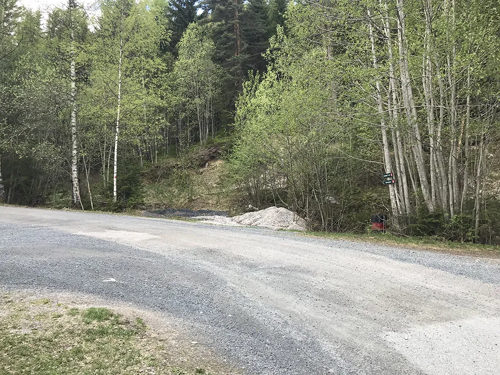
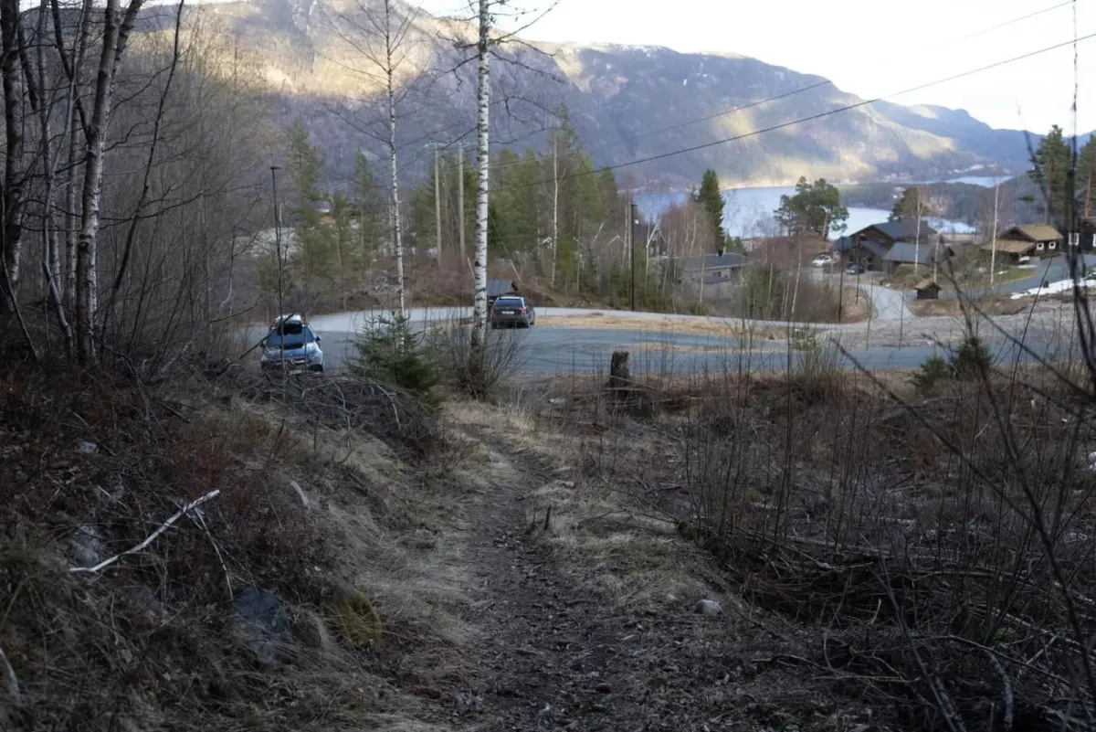
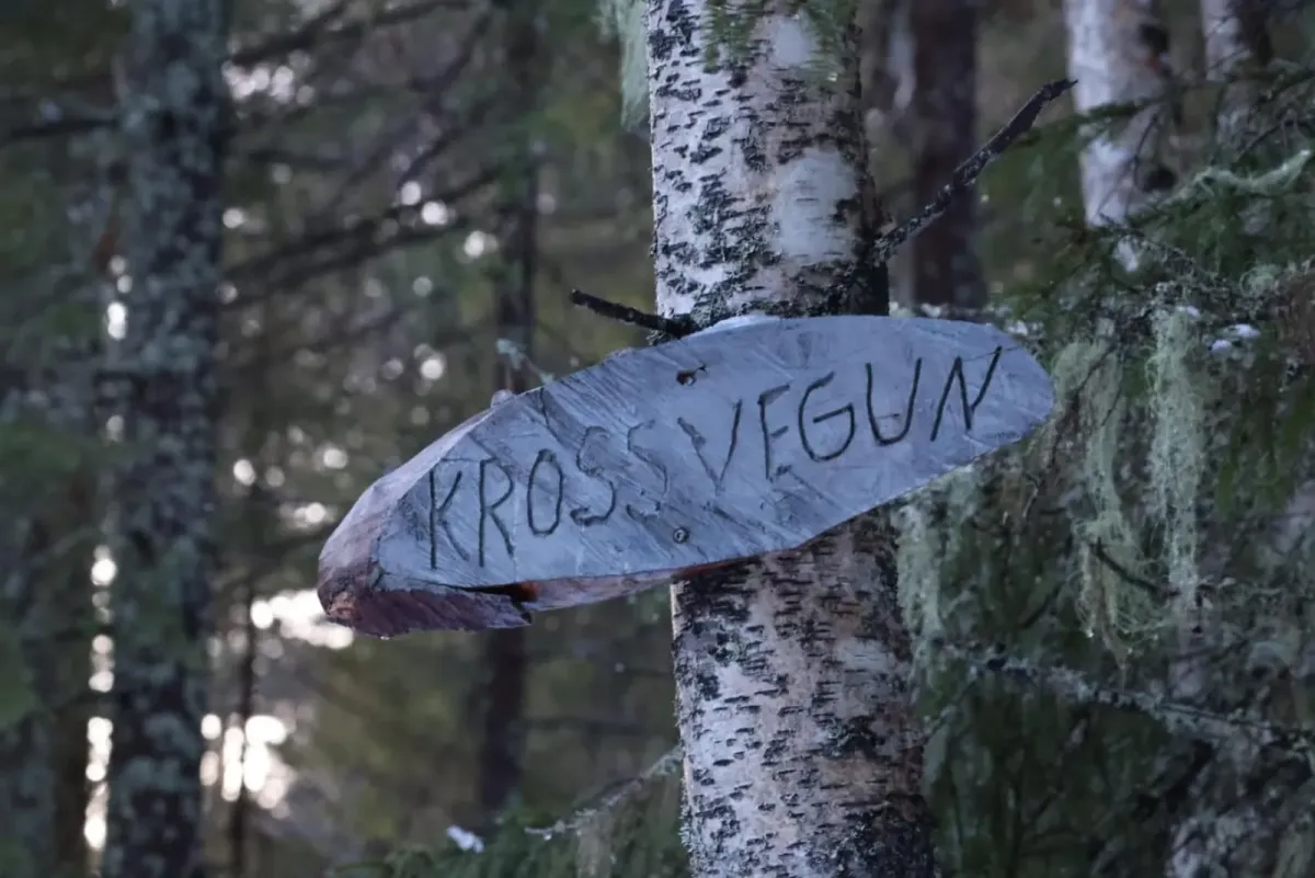
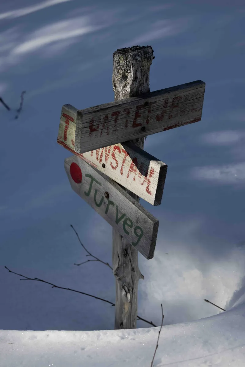
Main route: From Bråtenkrysset in Tømmeråsen
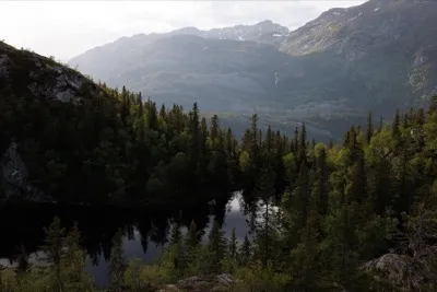
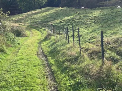
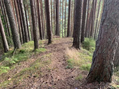
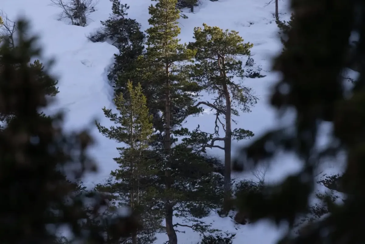
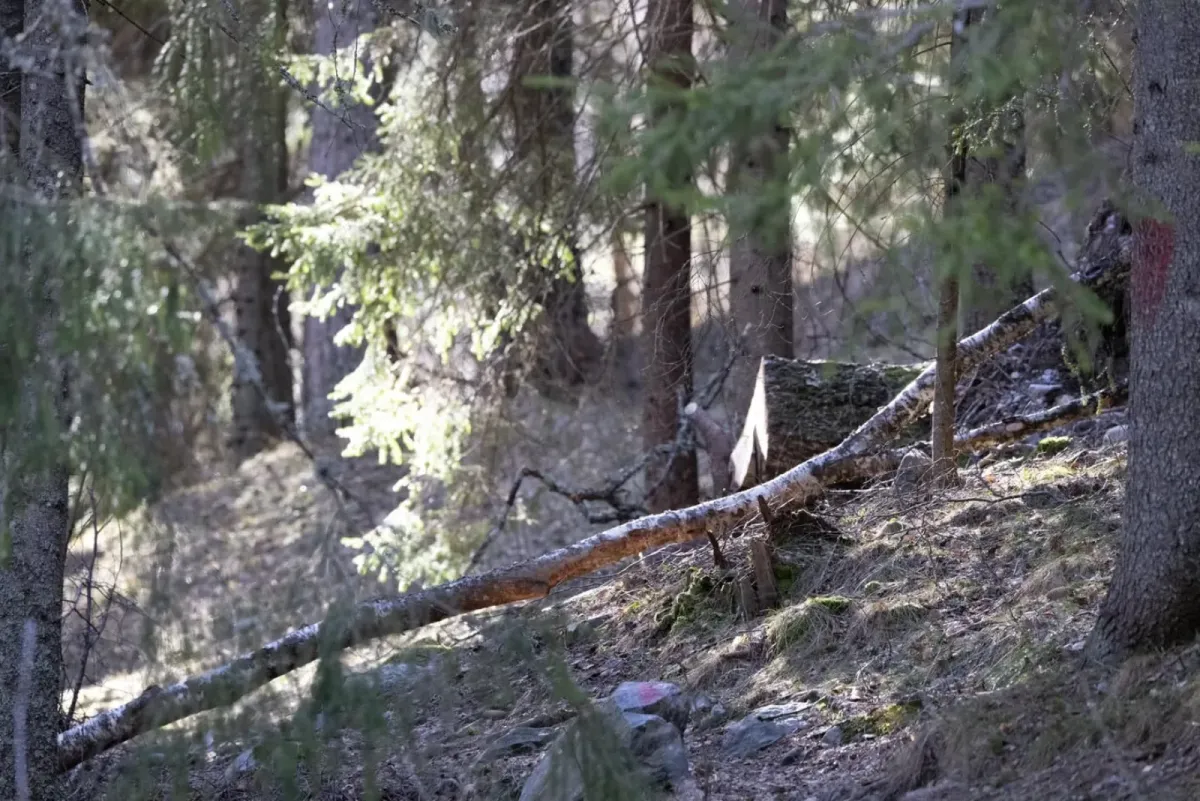
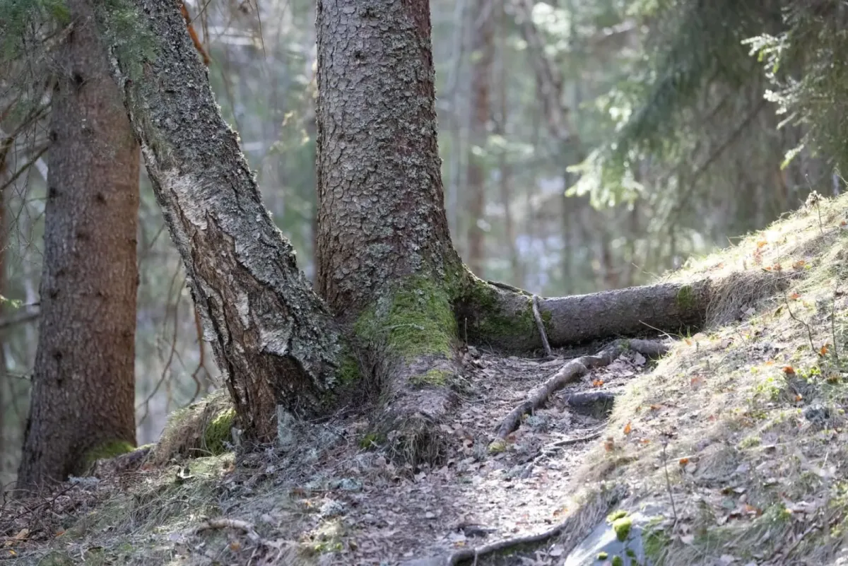
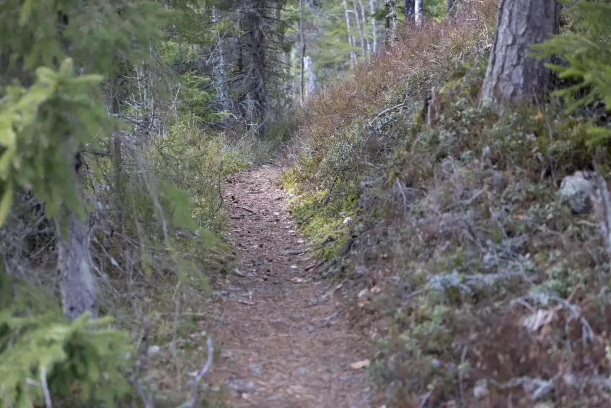
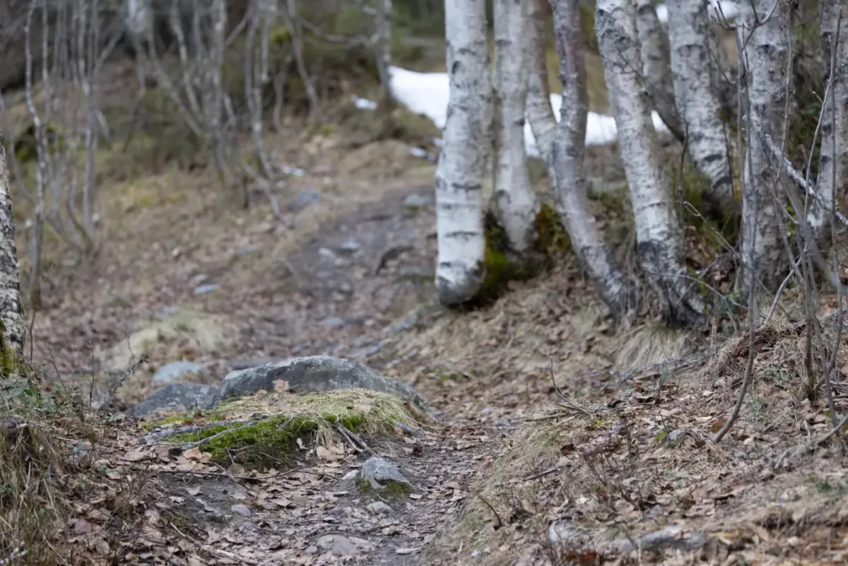
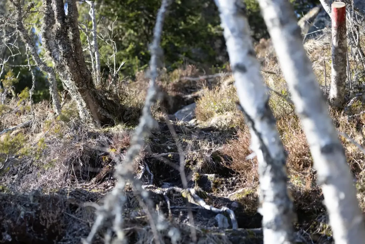
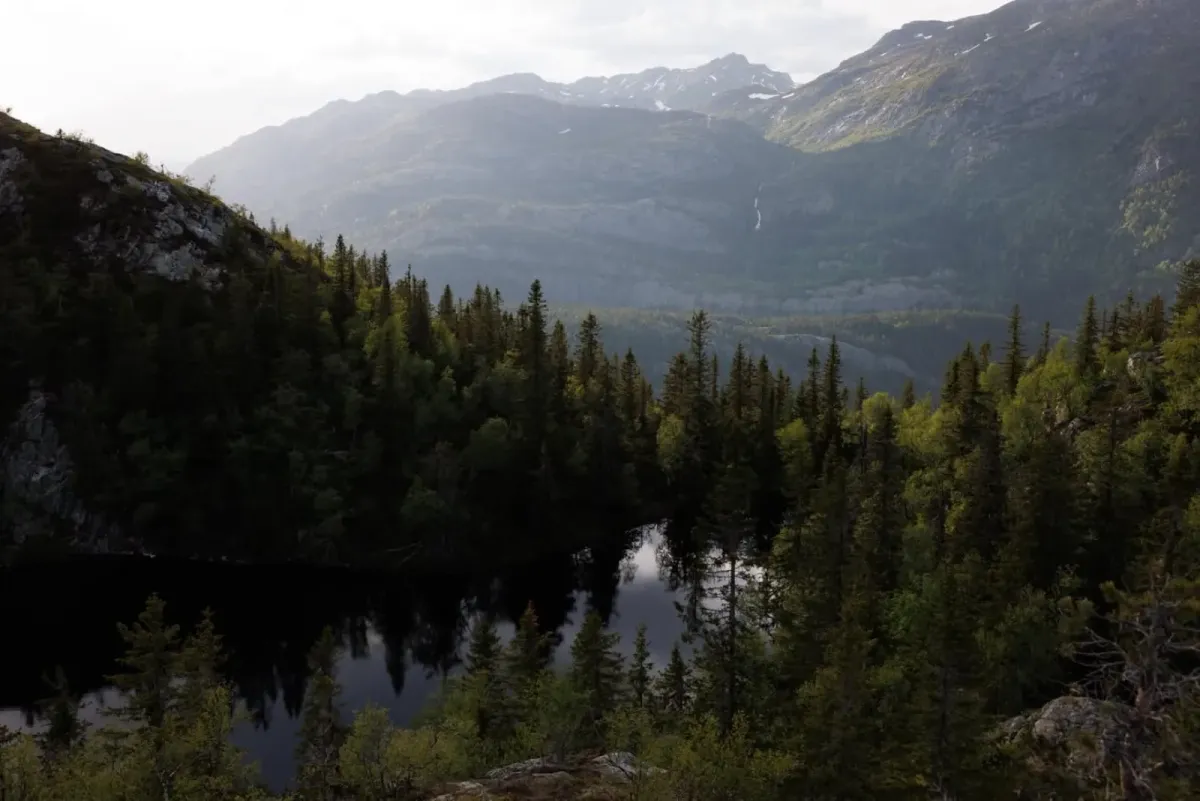
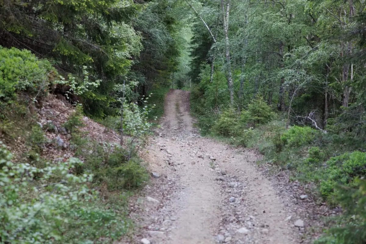
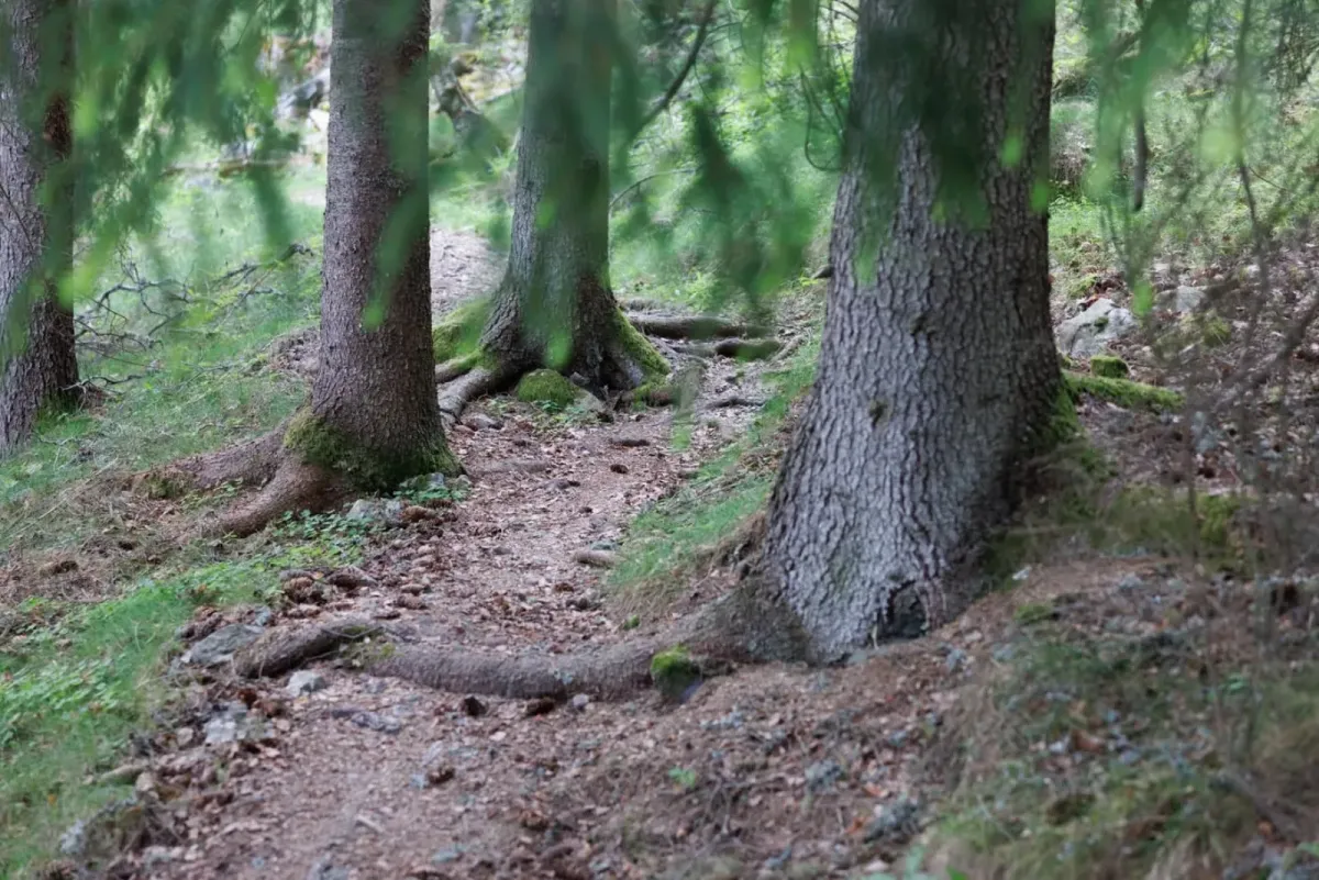
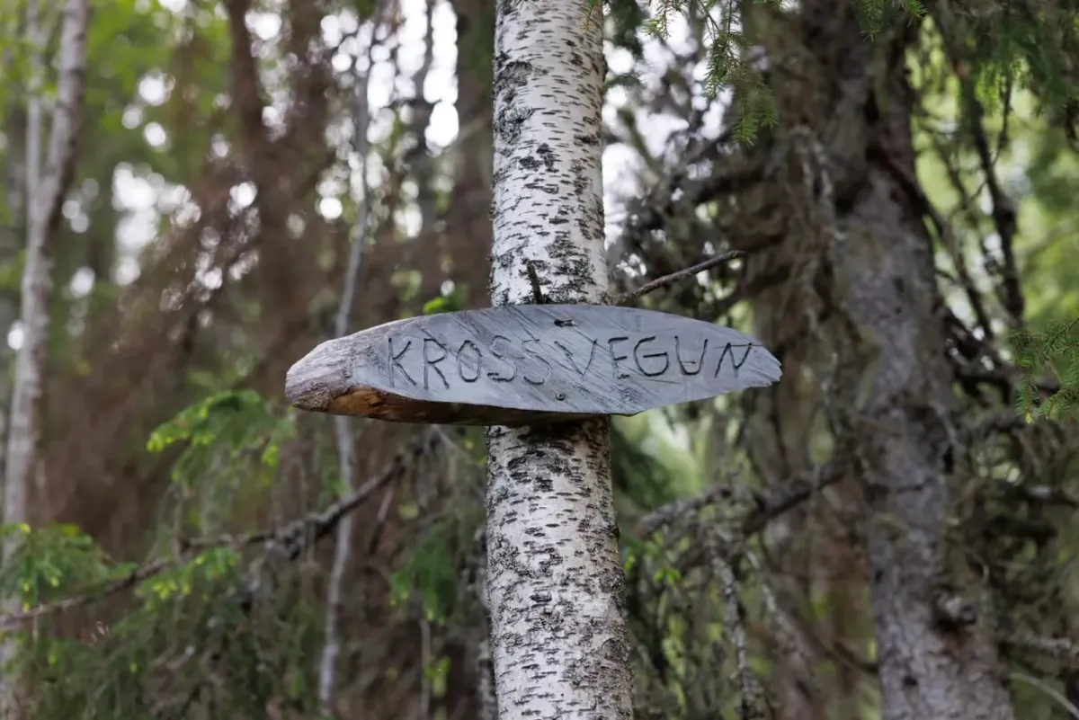
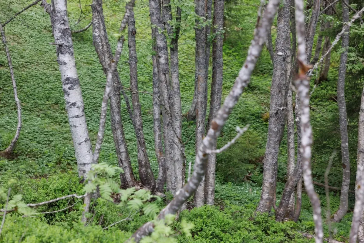
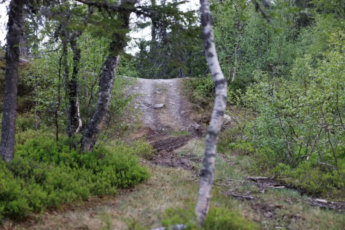
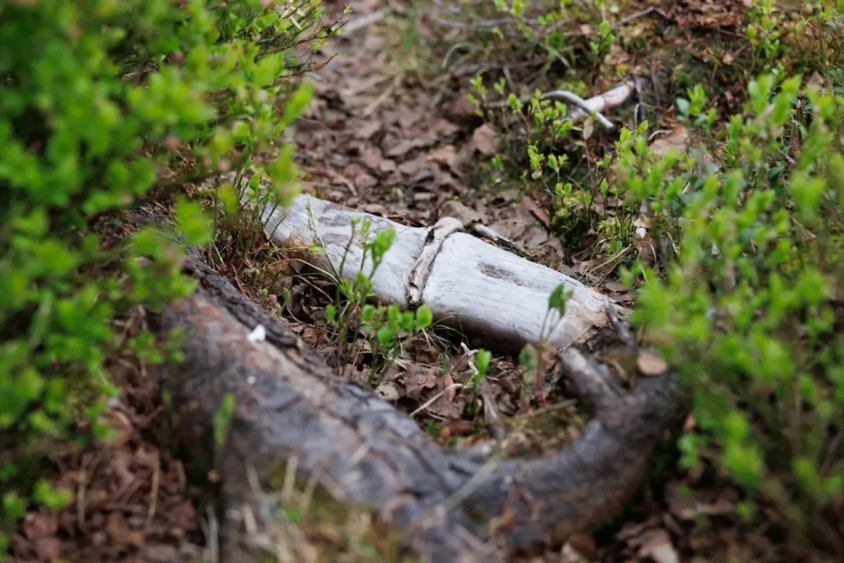
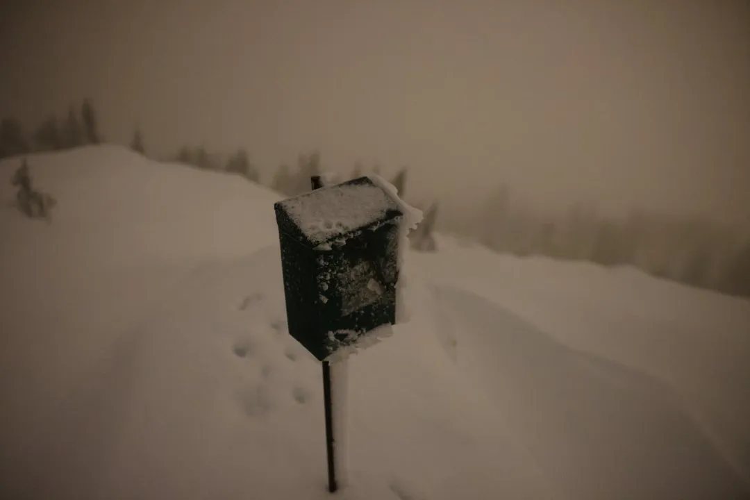
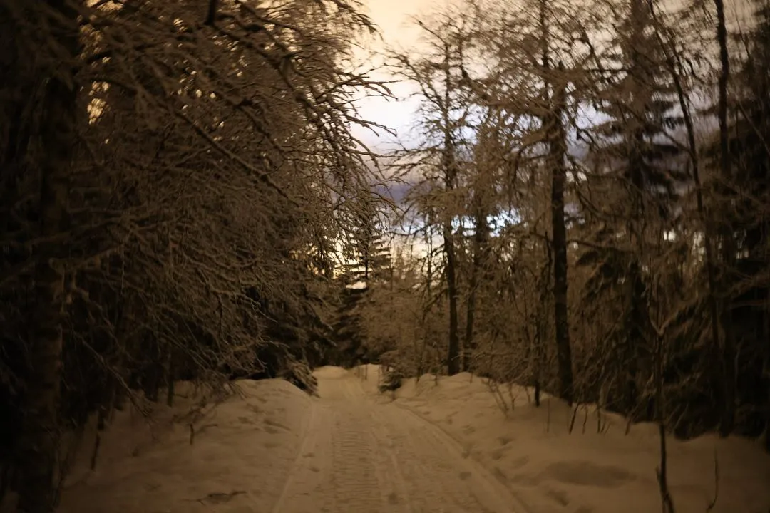
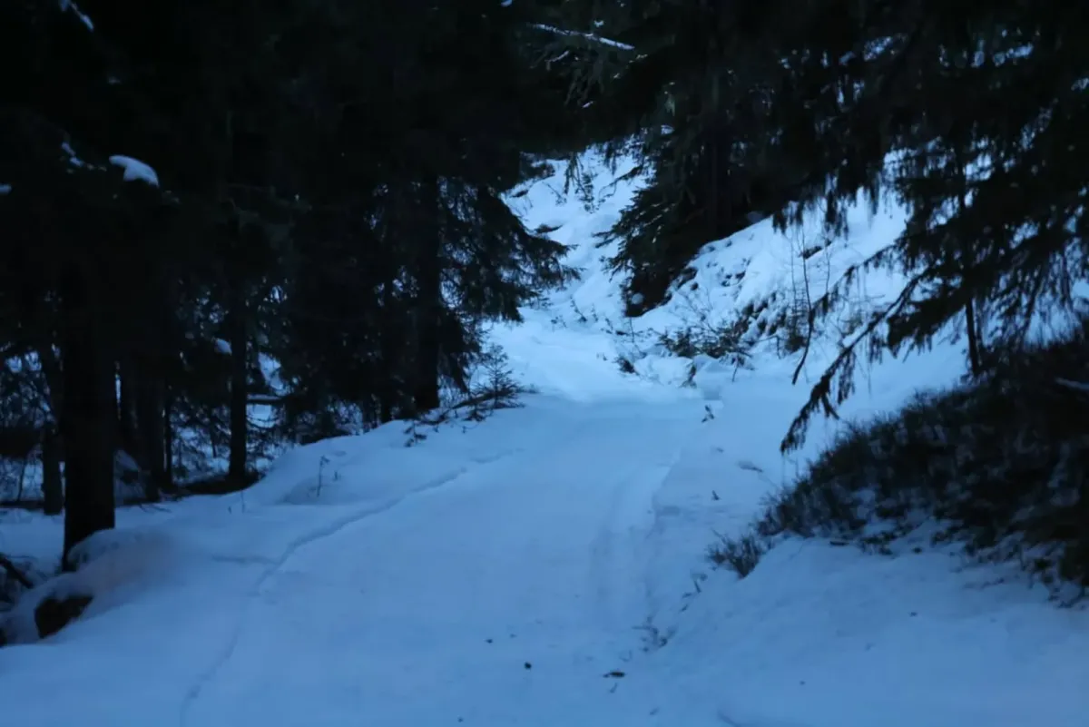
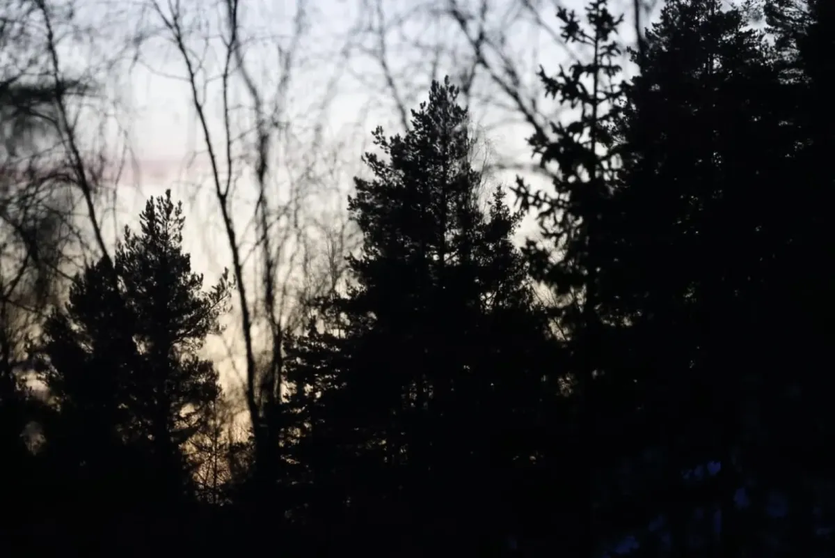
You start the hike from Bråtenkrysset, in Tømmeråsen just above Seljord town center. The first few meters are on a clear path, which after approx. 1 km meets a tractor road. Follow this road steadily uphill until you reach the lake at Hattefjelltjønni - a quiet and scenic lake on the edge of the forest.
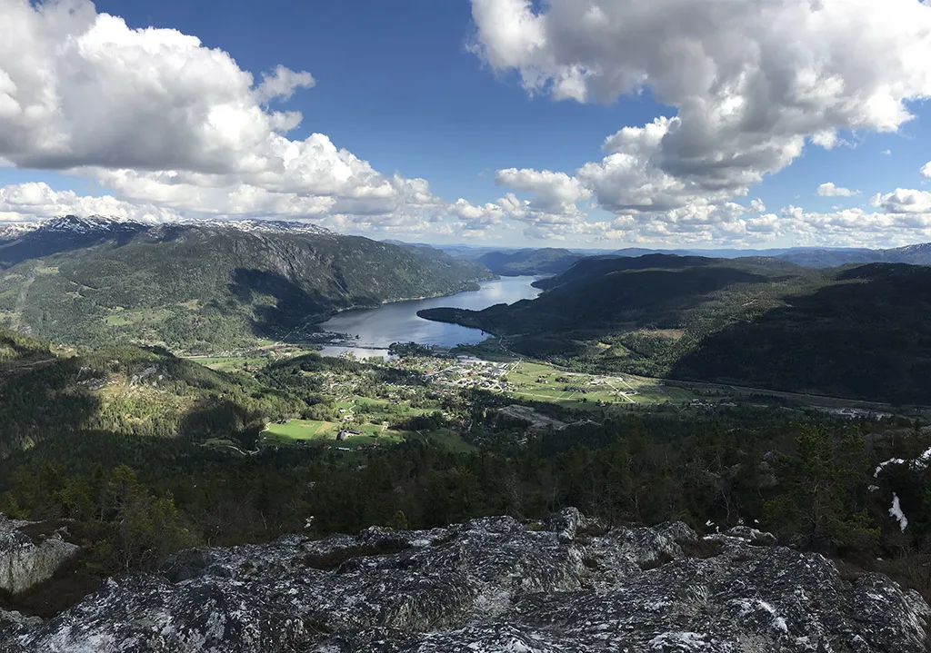
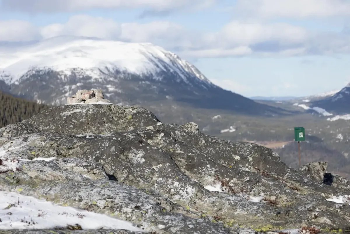
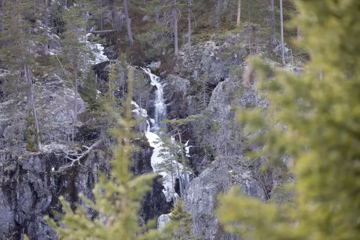
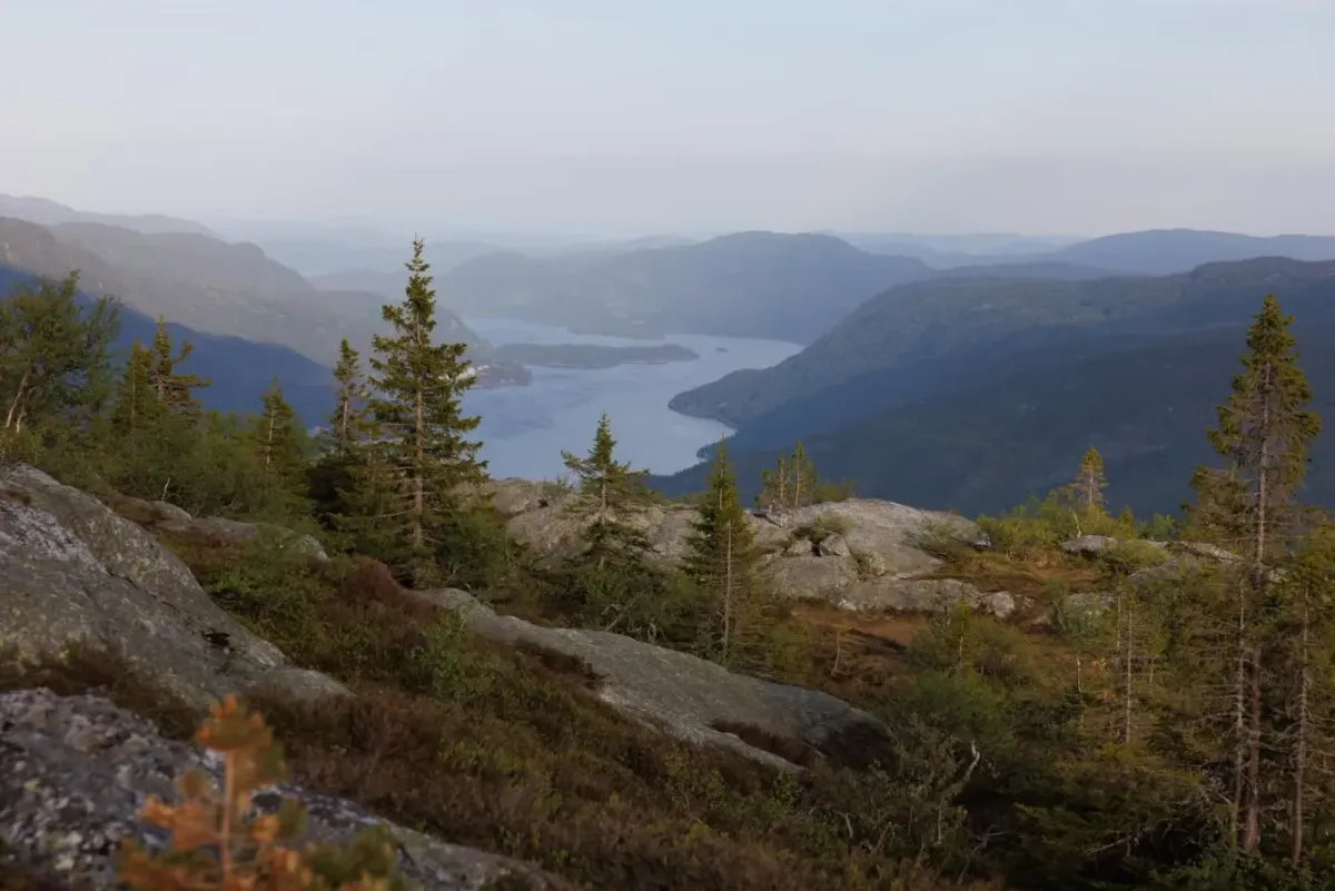
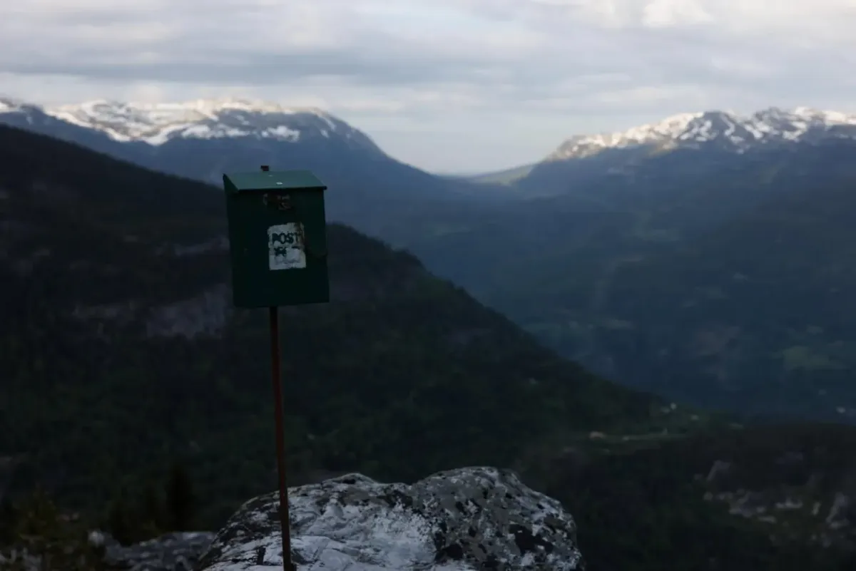
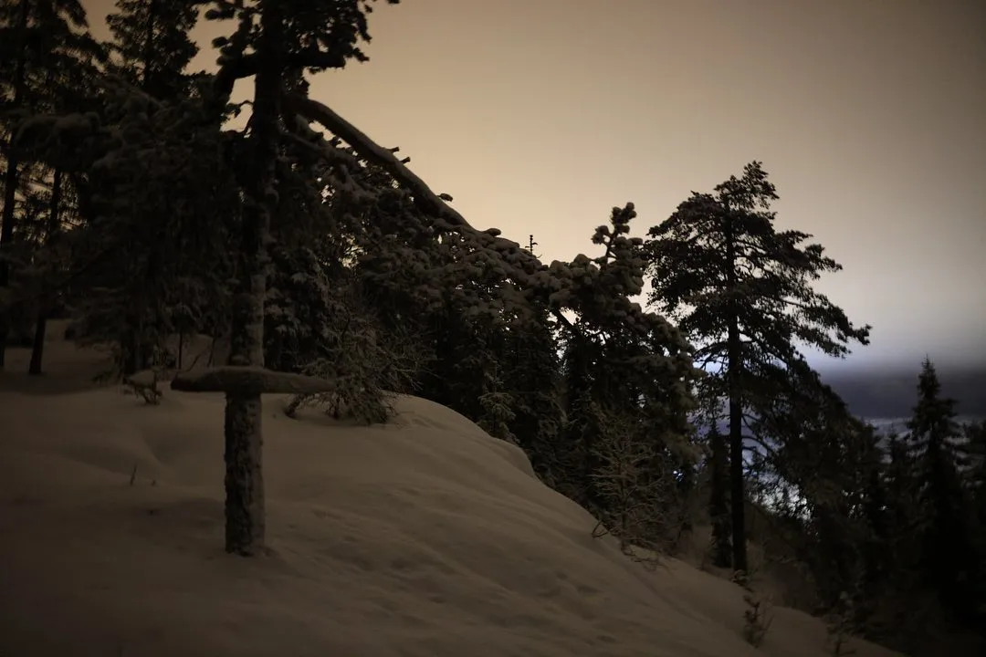
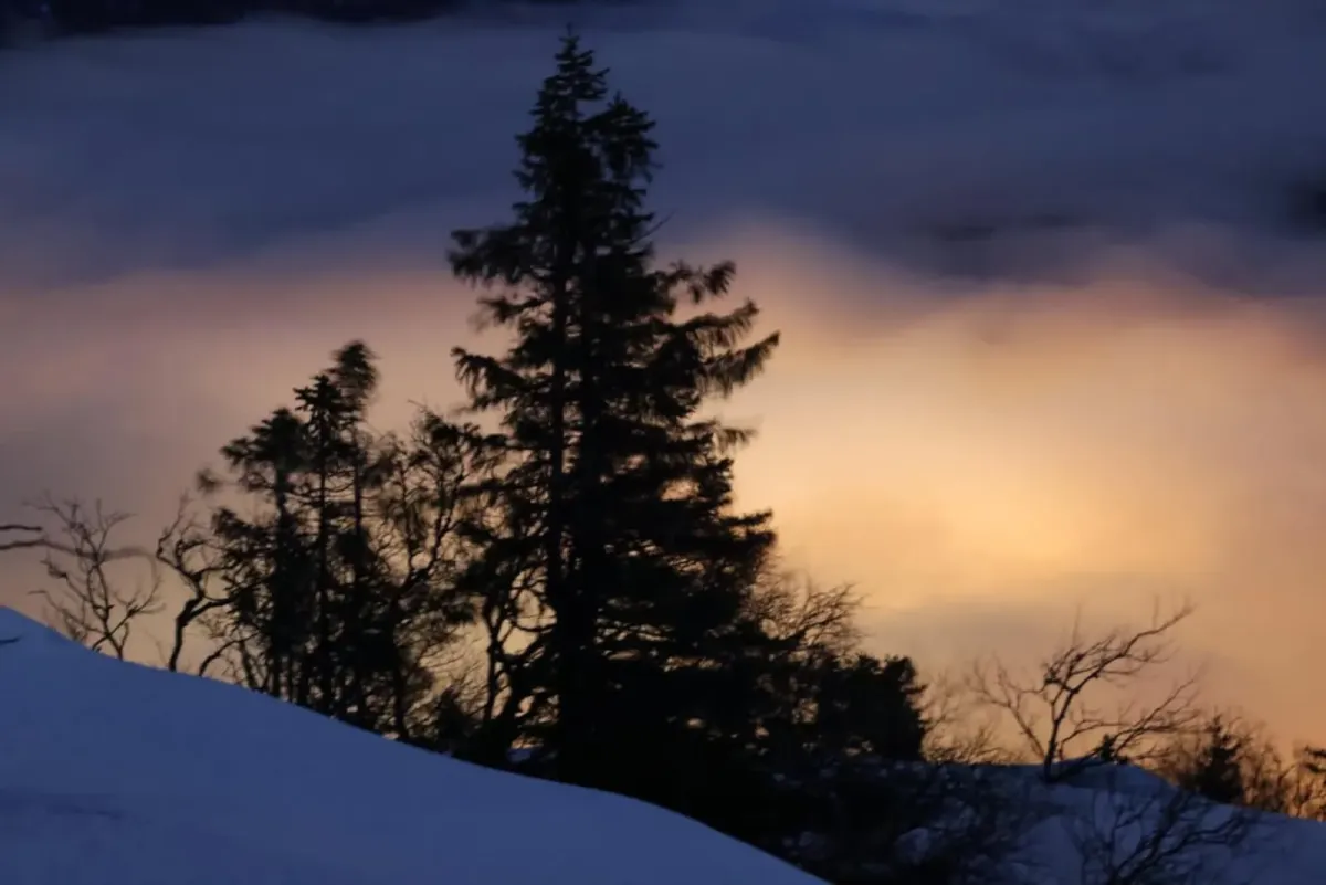
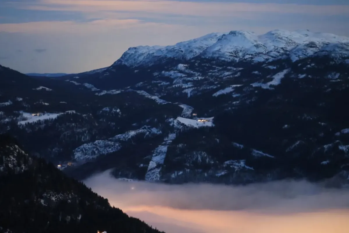
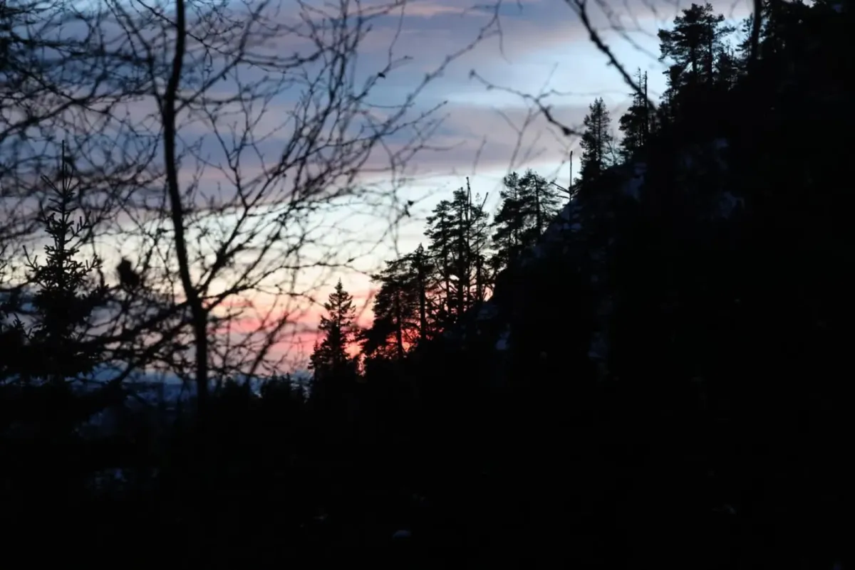
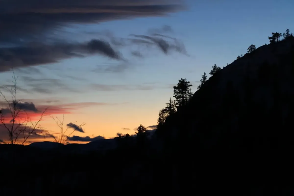
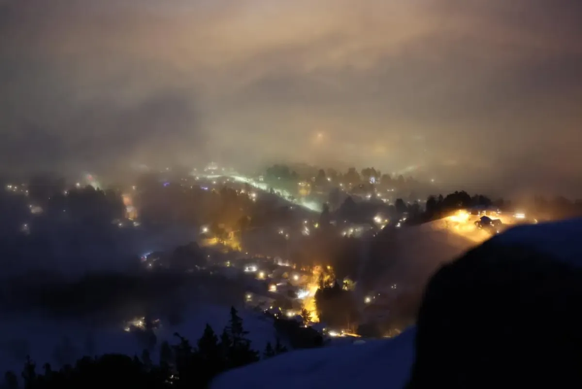
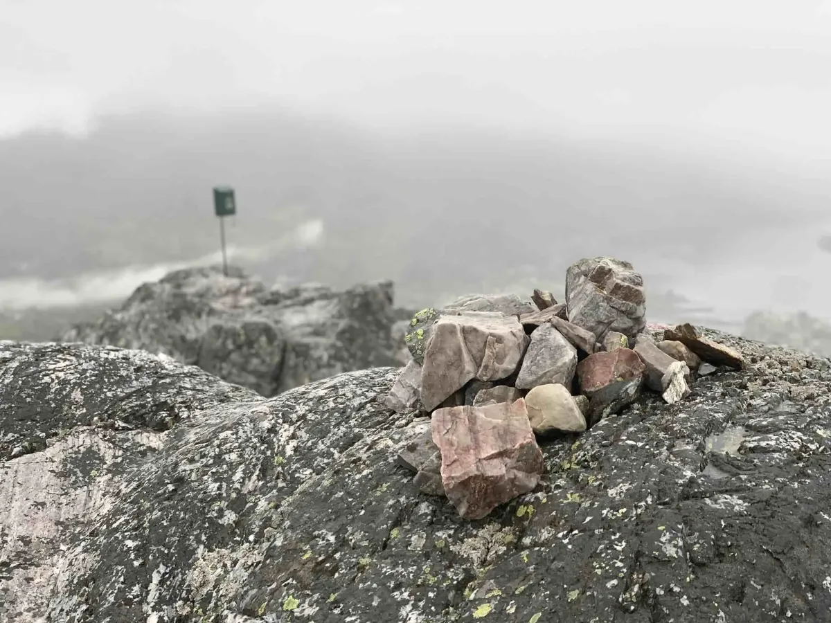
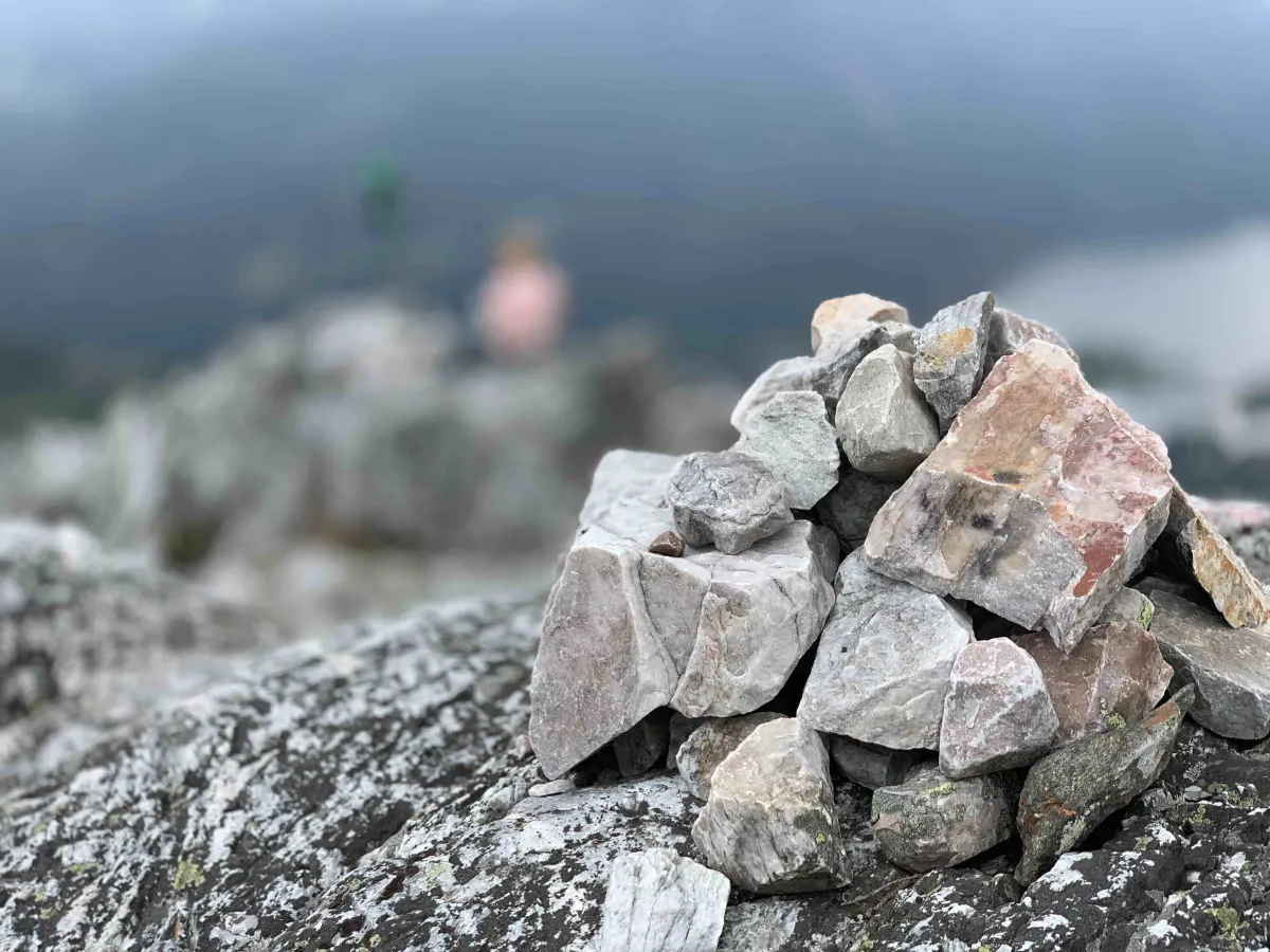
From Hattefjelltjønni you continue on the path, and the last section is steep but short. Then - all of a sudden - "poof", as many say: You're standing at the top, with a spectacular view of Seljordsvatnet, Seljord town center, Skorve, and the many huts around the village.
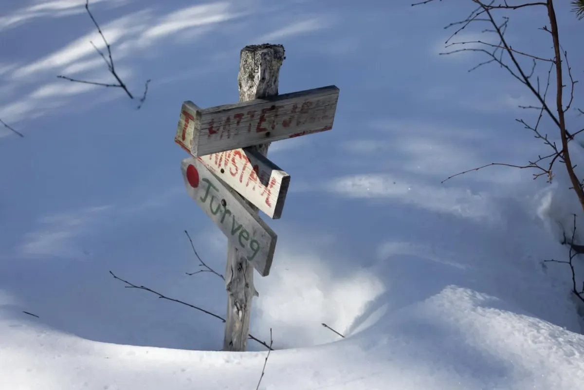
Alternative routes:
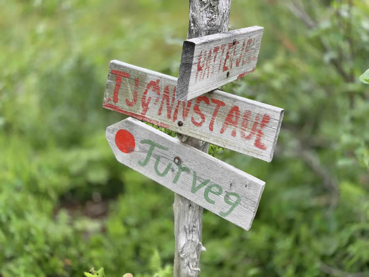
- From Feten in Åsheimgrendi - a quieter, but longer trail from the east.
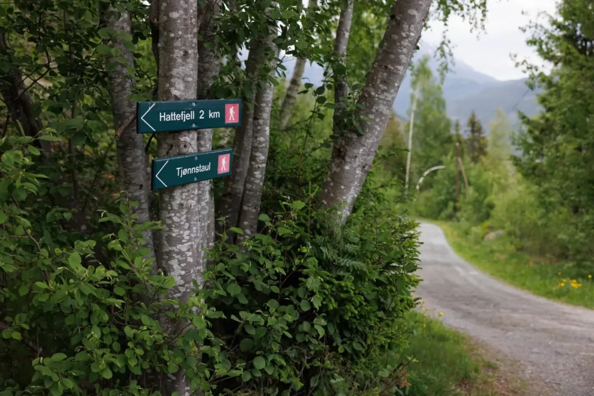
- From Kivledalen via Tjørnstaul - a back road for those who want to combine more nuts and a long day's adventure
Facts about the hike:
- Length: Approx. 4 km round trip from Bråtenkrysset
- Gradient: Approximately 480-500 meters in height
- Level: Moderate to demanding - short but steep
- Time: 1-1.5 hours up (depending on pace)
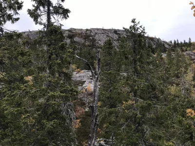
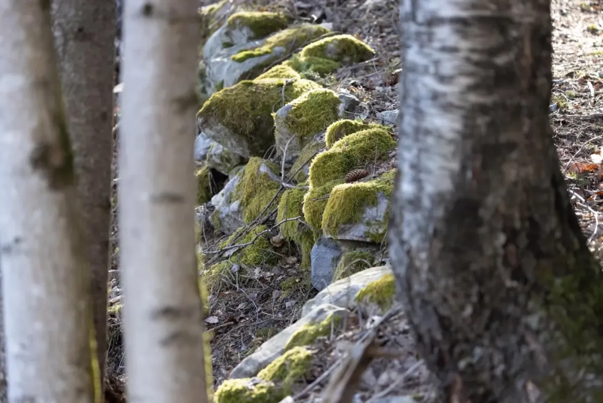
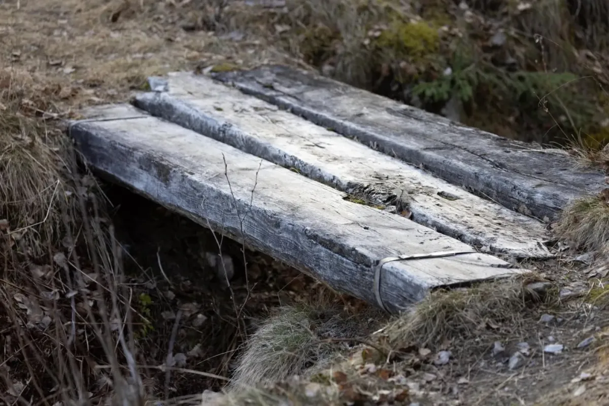
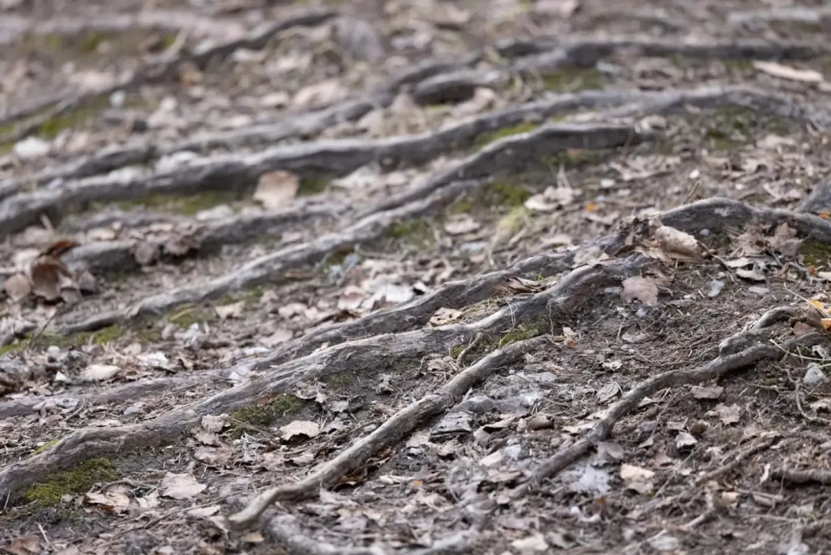
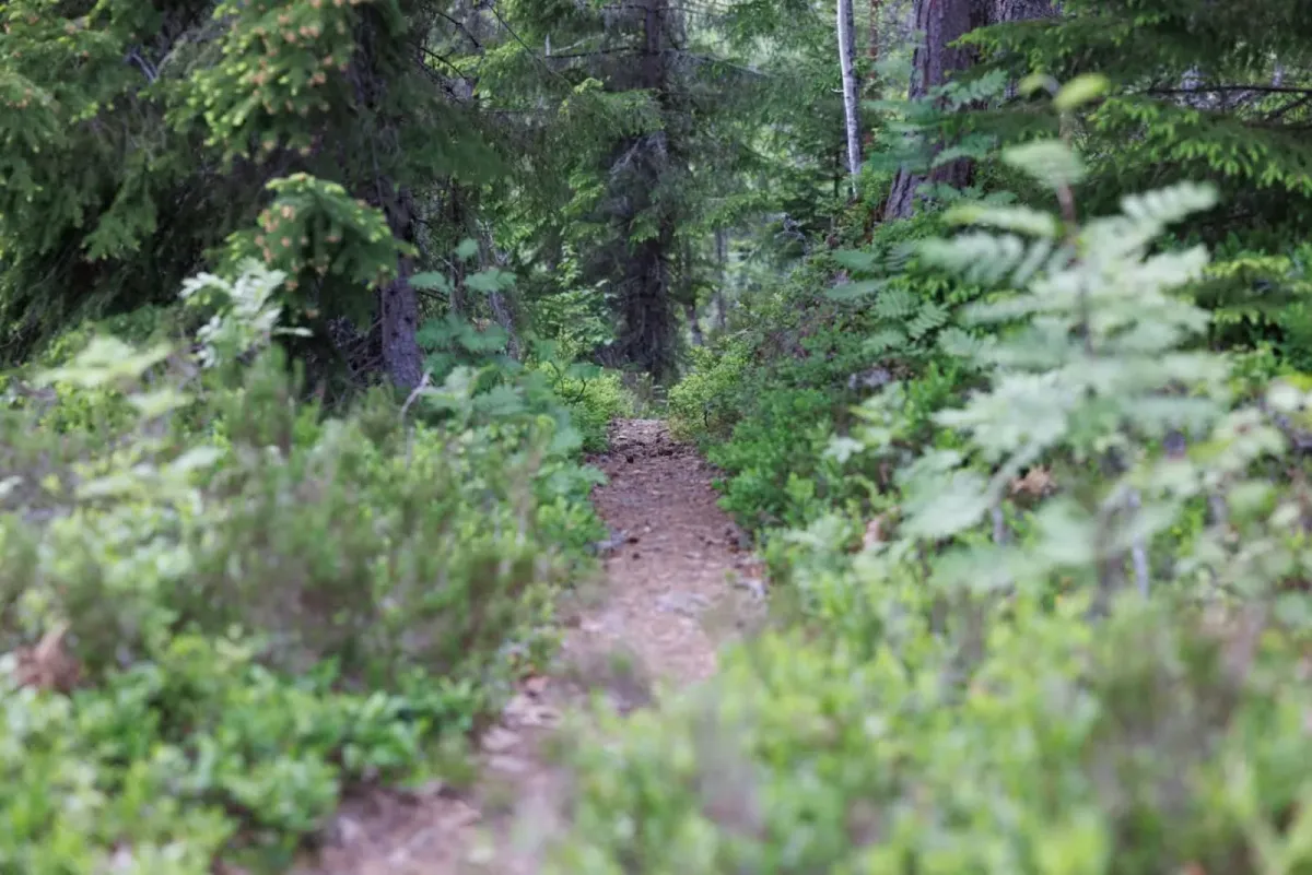
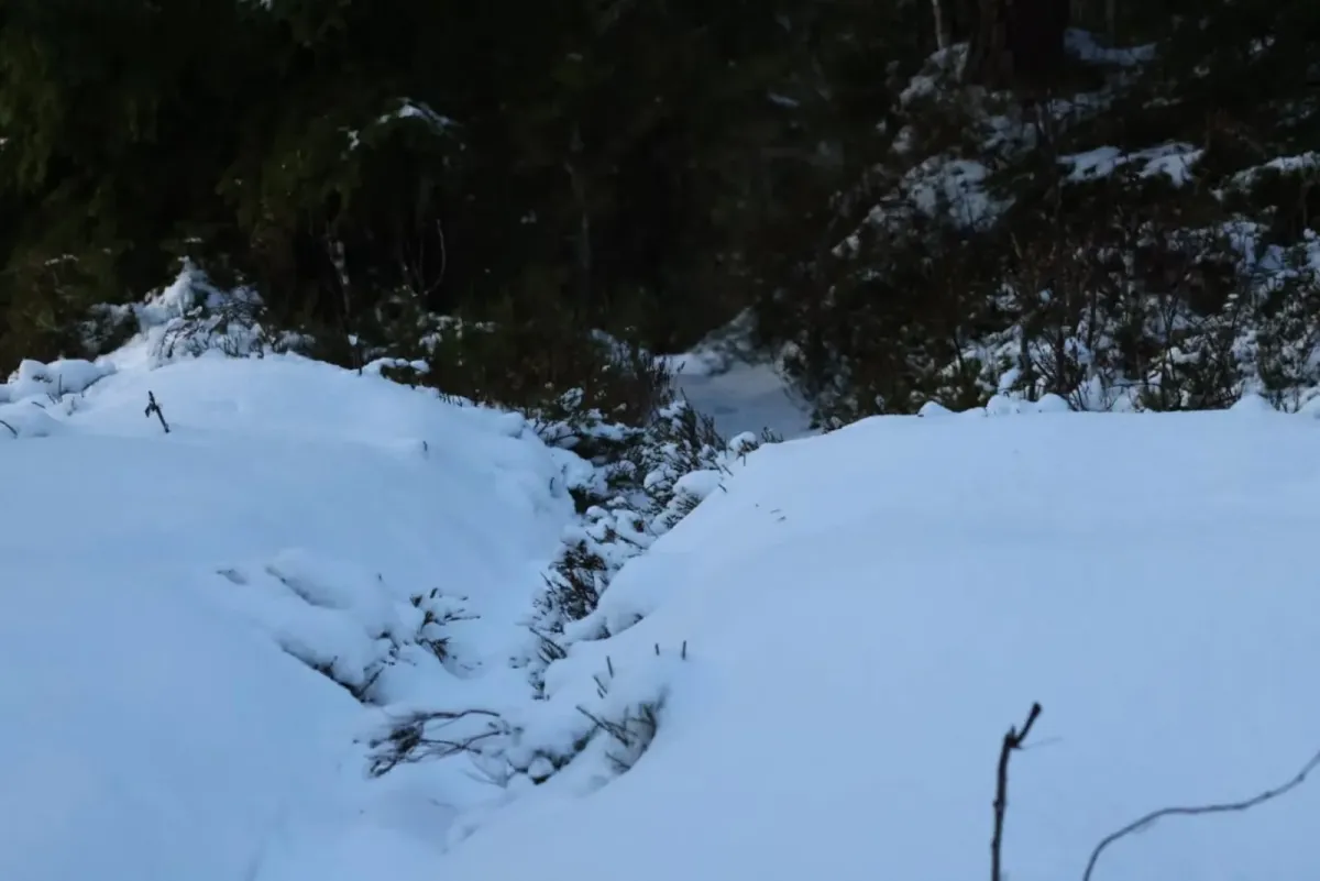
- Surface: Path, tractor road and rock
Hiking tips:
- This is a great evening walk or training run.
- Good shoes are necessary - it can be slippery on the rocks
- Be careful at the viewpoint - it's a steep descent
- Enjoy - the view here is one of the best in the municipality!
Hattefjell (approx. 880 m) is a powerful short hike from Seljord that offers a steep ascent and one of the best views of Seljordsvatnet and the surrounding area. The hike is relatively short, but with almost 500 vertical meters of ascent, you'll really feel it in your thighs, calves and knees. Perfect for those who want a quick and efficient mountain experience - and a wonderful reward at the top.
Main route: From Bråtenkrysset in Tømmeråsen
You start the hike from Bråtenkrysset, in Tømmeråsen just above Seljord town center. The first few meters are on a clear path, which after approx. 1 km meets a tractor road. Follow this road steadily uphill until you reach the lake at Hattefjelltjønni - a quiet and scenic lake on the edge of the forest.
From Hattefjelltjønni you continue on the path, and the last section is steep but short. Then - all of a sudden - "poof", as many say: You're standing at the top, with a spectacular view of Seljordsvatnet, Seljord town center, Skorve, and the many huts around the village.
Alternative routes:
- From Feten in Åsheimgrendi - a quieter, but longer trail from the east.
- From Kivledalen via Tjørnstaul - a back road for those who want to combine more nuts and a long day's adventure
Facts about the hike:
- Length: Approx. 4 km round trip from Bråtenkrysset
- Gradient: Approximately 480-500 meters in height
- Level: Moderate to demanding - short but steep
- Time: 1-1.5 hours up (depending on pace)
- Surface: Path, tractor road and rock
Hiking tips:
- This is a great evening walk or training run.
- Good shoes are necessary - it can be slippery on the rocks
- Be careful at the viewpoint - it's a steep descent
- Enjoy - the view here is one of the best in the municipality!
Photos (54)
1 / 54

Videos (2)
Hattefjell - turen opp
Hattefjell - toppen
User photos (13)
1 / 13
Practical info
- Direction
- tur-retur
- Season
- Summer
- Trail quality
- 3/5
- Solitude
- 3/5
Got any good trail tips?
Seljord
Telemark
fintur.no
Telemark
fintur.no