Heidalsnutan
 T
T
Fee
The road or car park has a fee. Bring small change. Some take cards and Vipps.
Weather forecast
Hentar vêrdata…
Kjelde: Yr.no (Meteorologisk institutt)
Map and route
S Start
M Finish
▲ Highest point
▼ Lowest point
km Main route
↕ m Elevation
About this hike
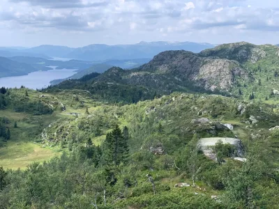
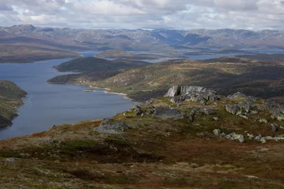
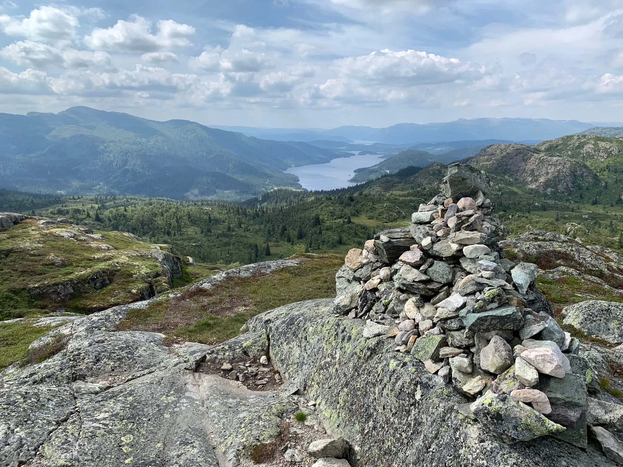
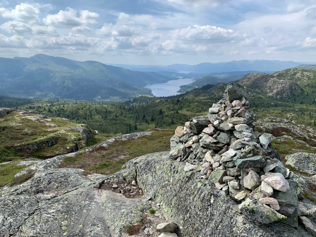
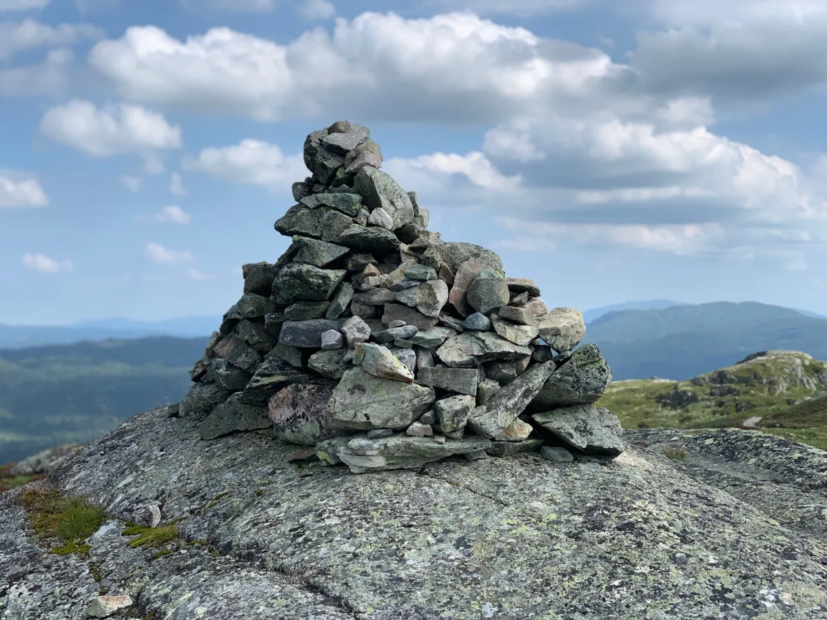
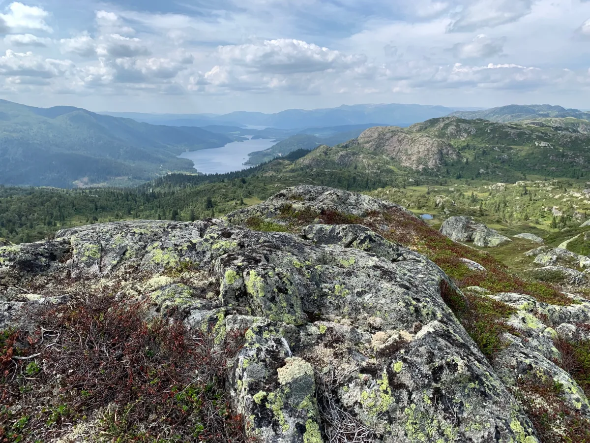
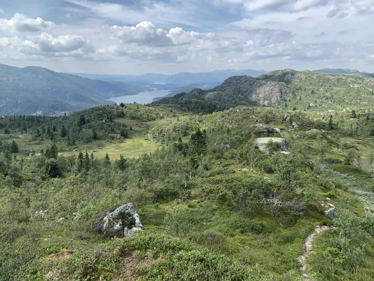
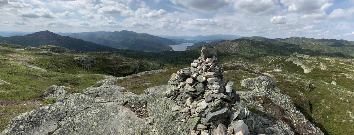
Heierdalsnutane - a short hike with a view of Longvikvatnet
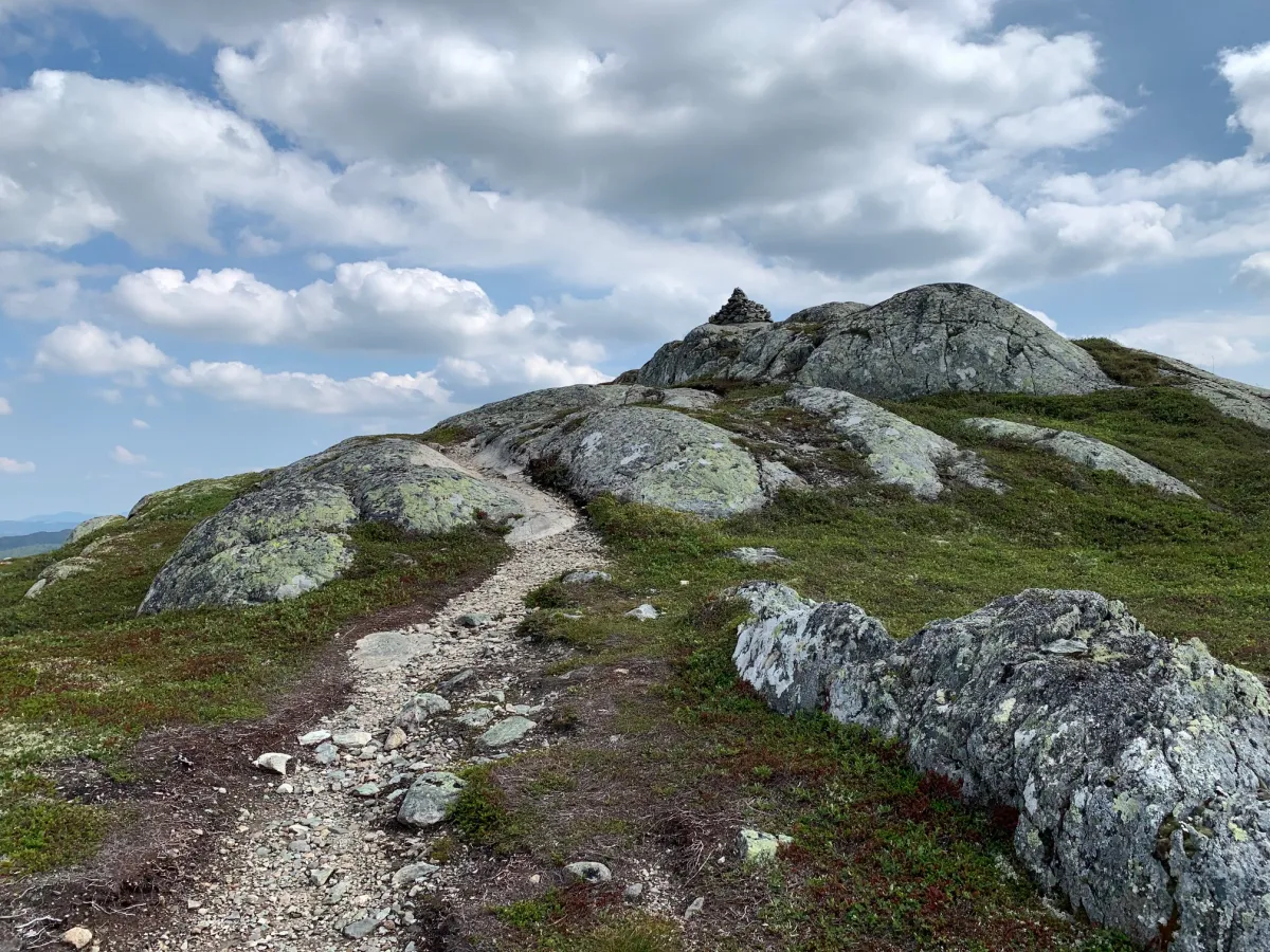
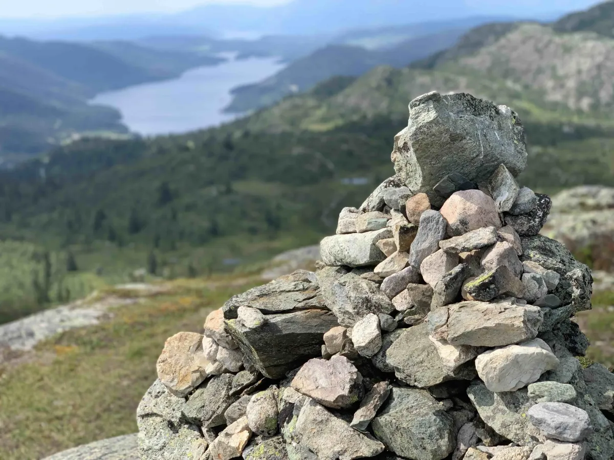
Heierdalsnutane lies high and clear above Kvambekk in Åmotsdal, and is a beautiful and easily accessible peak for a short evening or afternoon hike. From the top you get a wide view of Longvikvatnet, towards Rauland and the surrounding mountains.
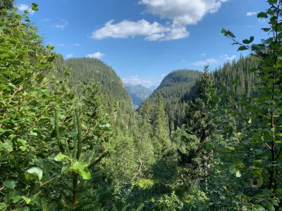
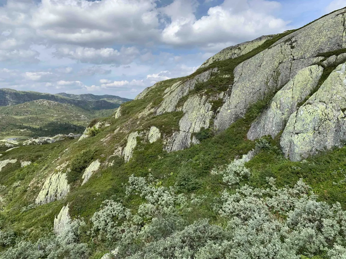
The hike starts from the road at Kvambekk and climbs steadily through forest and mountain terrain. Along the route, you'll pass Dansarsteinen - a distinctive stone with a local name that sets the imagination in motion.
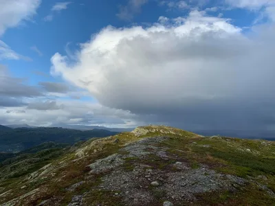
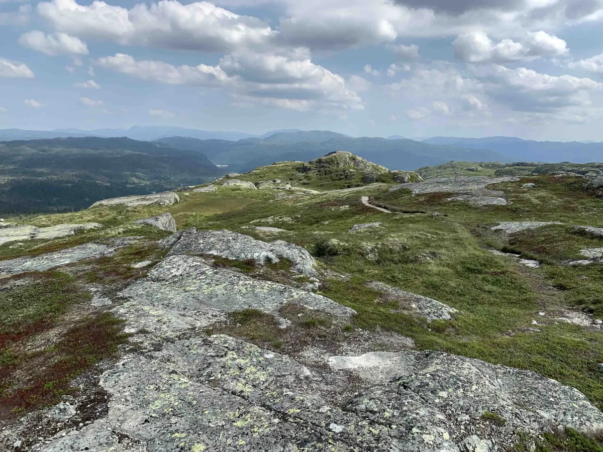
This is a short, but breezy and open hike, which provides great exercise in a short time. The trail is clearly visible and easy to follow. The trail is maintained with help from Vinje Turlag.
Length: Approx. 2 km round trip
Time: Approx. 1 hour
Gradient: Moderate
Terrain: Mountainous and open rock.
Difficulty level: Easy to moderate
Suitable for: Familiar, local history tour, view tour
Heierdalsnutane lies high and clear above Kvambekk in Åmotsdal, and is a beautiful and easily accessible peak for a short evening or afternoon hike. From the top you get a wide view of Longvikvatnet, towards Rauland and the surrounding mountains.
The hike starts from the road at Kvambekk and climbs steadily through forest and mountain terrain. Along the route, you'll pass Dansarsteinen - a distinctive stone with a local name that sets the imagination in motion.
This is a short, but breezy and open hike, which provides great exercise in a short time. The trail is clearly visible and easy to follow. The trail is maintained with help from Vinje Turlag.
Length: Approx. 2 km round trip
Time: Approx. 1 hour
Gradient: Moderate
Terrain: Mountainous and open rock.
Difficulty level: Easy to moderate
Suitable for: Familiar, local history tour, view tour
Photos (4)
1 / 4
User photos (5)
1 / 5
Practical info
- Direction
- tur-retur
- Season
- Summer
- Trail quality
- 2/5
- Solitude
- 6/5
Got any good trail tips?
Åmotsdal
Telemark
fintur.no
Telemark
fintur.no