Humlenesfjellet
Avgift
Vegen eller parkeringsplassen har avgift. Ta med småpengar. Enkelte tar kort og Vipps.
Vêrvarsel
Hentar vêrdata…
Kjelde: Yr.no (Meteorologisk institutt)
Kart og rute
S Start
M Mål
▲ Høgaste punkt
▼ Lågaste punkt
km Hovudrute
↕ m Stigning
Om turen
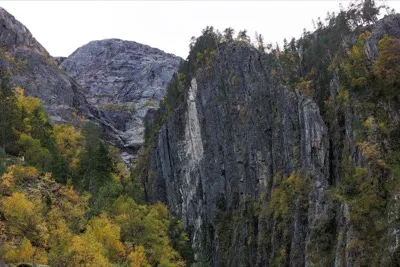
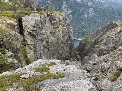
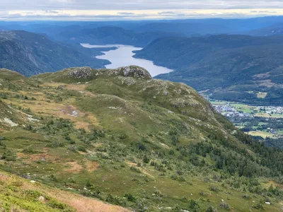
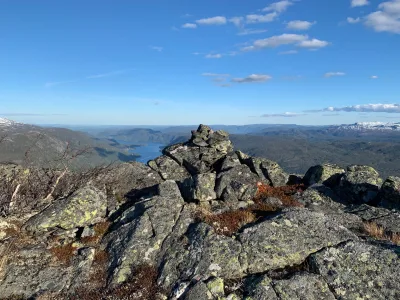
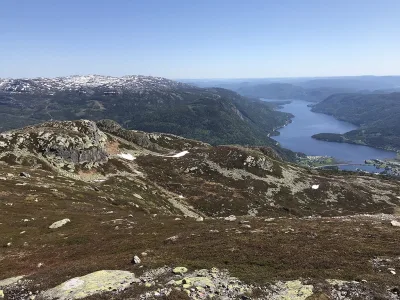
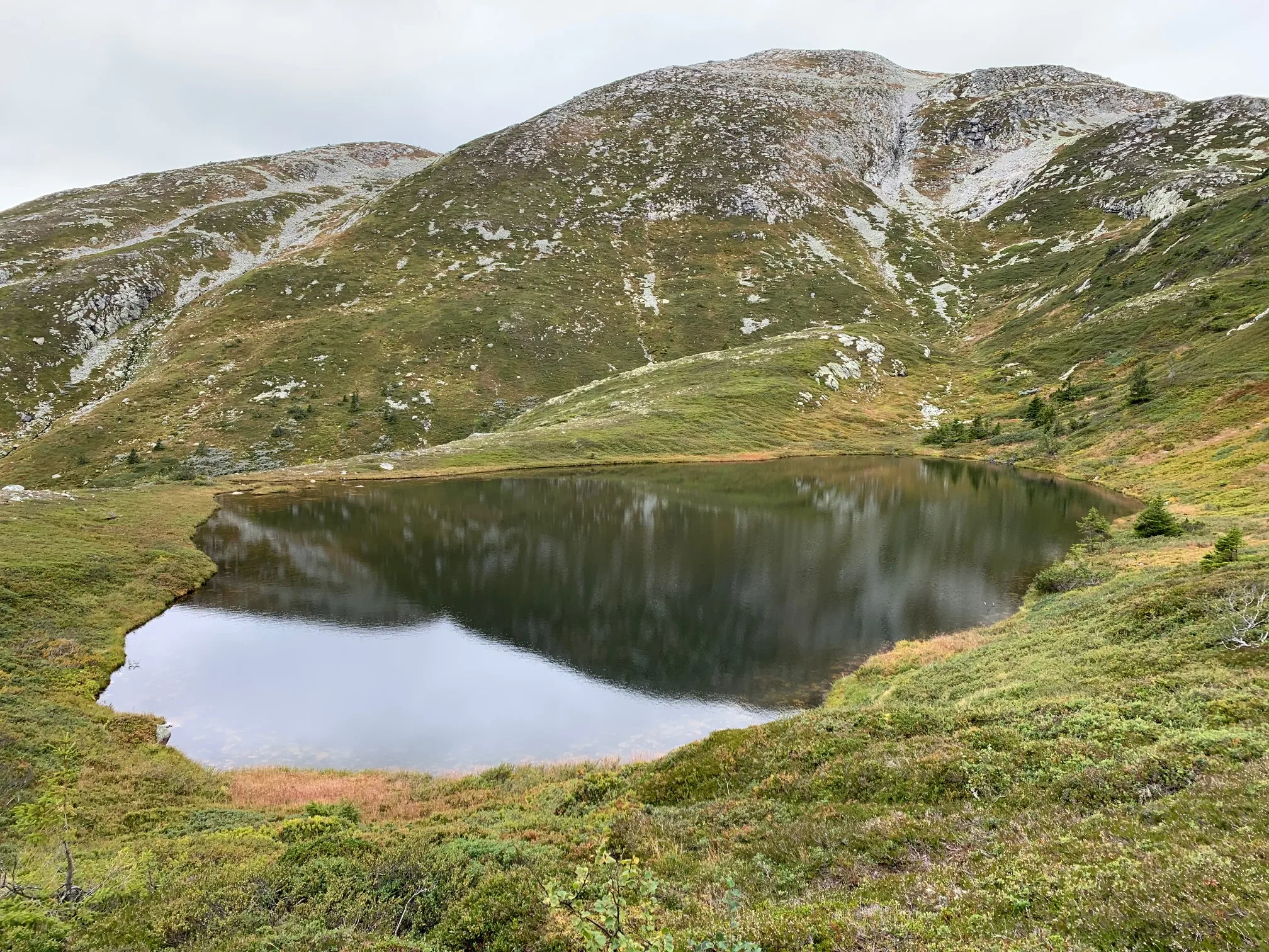
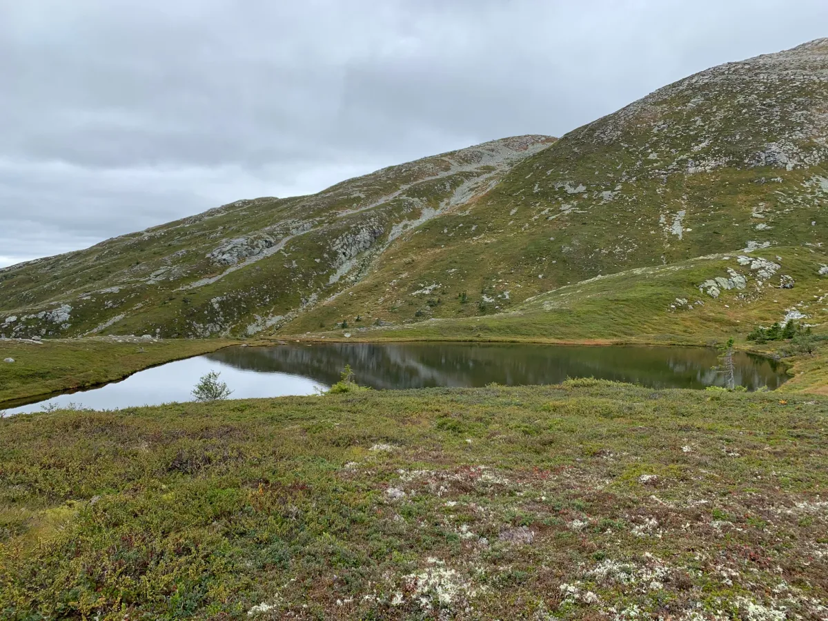
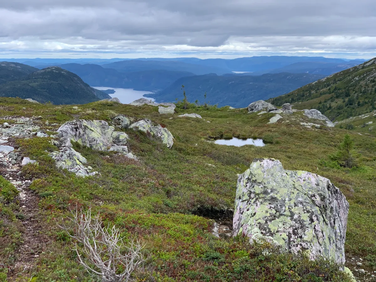
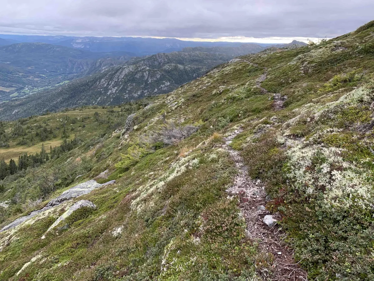
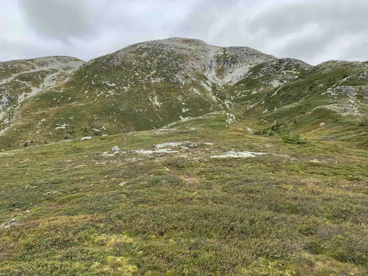
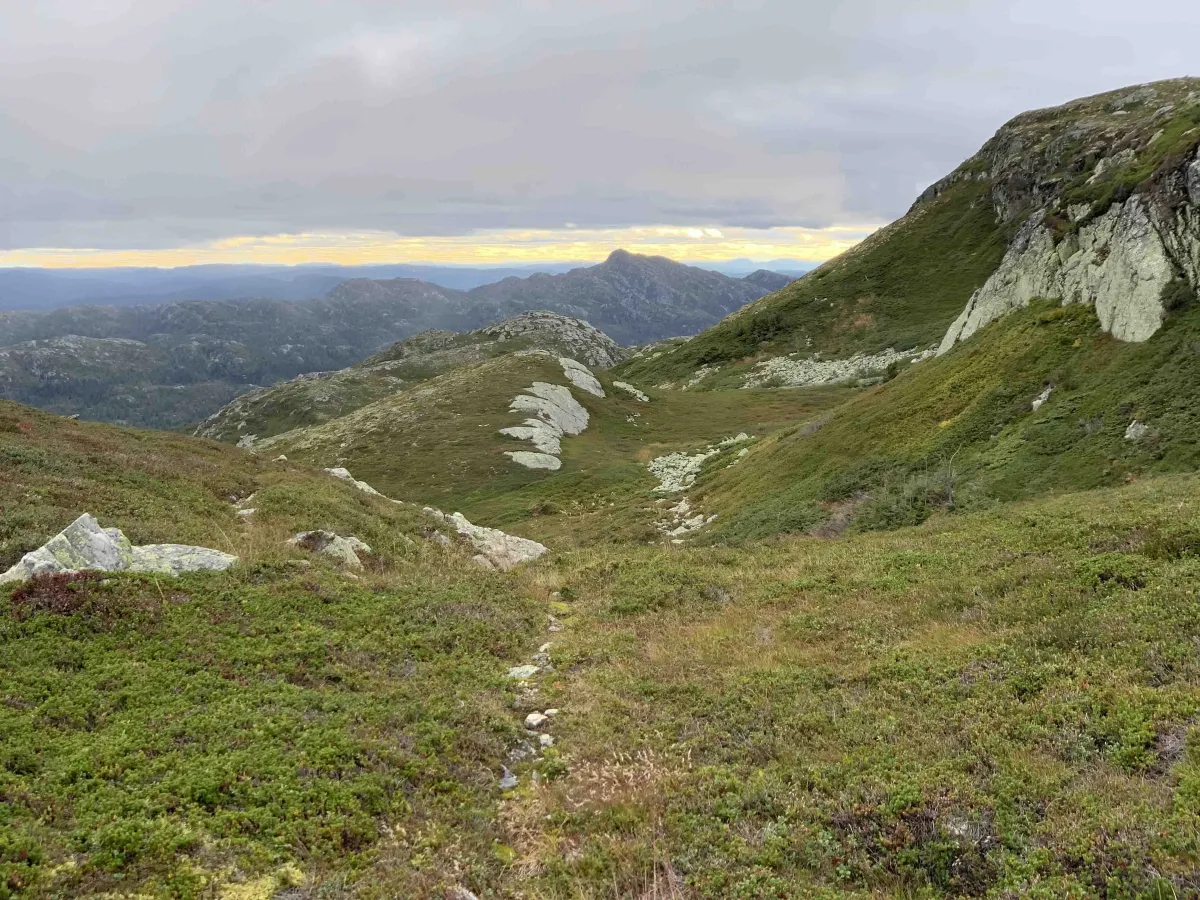
Mange har sett tjønni nede på Humlenesfjellet ved Spåsomsnuten, når ein står på toppen av Gøysen og sernedover mot Flatsjå. Dette er eit flott område, både for å telte eller for å utforske Spådomsnuten, som ligg like ved. Du må gå opp på framre Gøysen. Masivet i framkant av Skorvetoppen. Her gjeng det flotte dyretråkk og stigar helt fram. Om du er på toppen så kan du jo gå ned lia, men du bør gå tilbake til fyrst kneika ca 3-400 meter nedafor. Da er det mykje enklare.
Bilete (6)
1 / 6

Turbilder (5)

1 / 5
Praktisk info
- Retning
- tur-retur
- Sesong
- Sommar
- Stigkvalitet
- 3/5
- Einsemd
- 5/5
Har du gode turtips?
Seljord
Telemark
fintur.no
Telemark
fintur.no