Humlenesfjellet
Fee
The road or car park has a fee. Bring small change. Some take cards and Vipps.
Weather forecast
Hentar vêrdata…
Kjelde: Yr.no (Meteorologisk institutt)
Map and route
S Start
M Finish
▲ Highest point
▼ Lowest point
km Main route
↕ m Elevation
About this hike
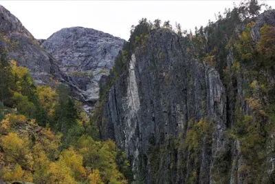
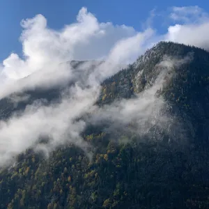
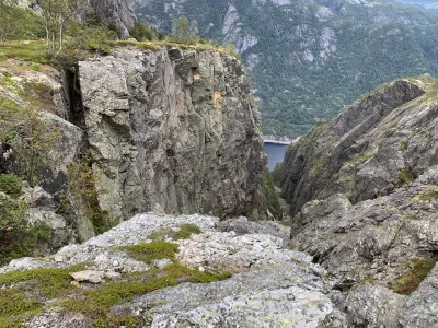
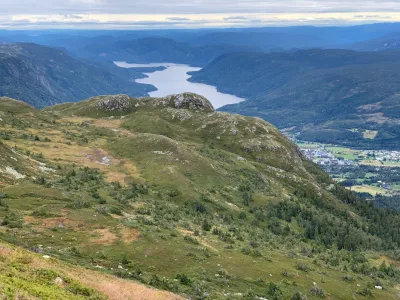
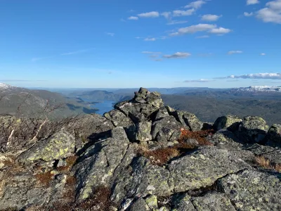
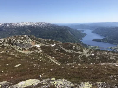
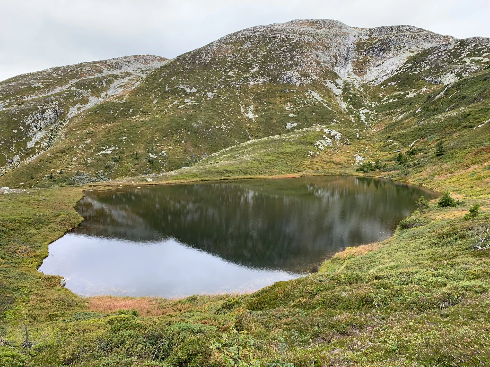
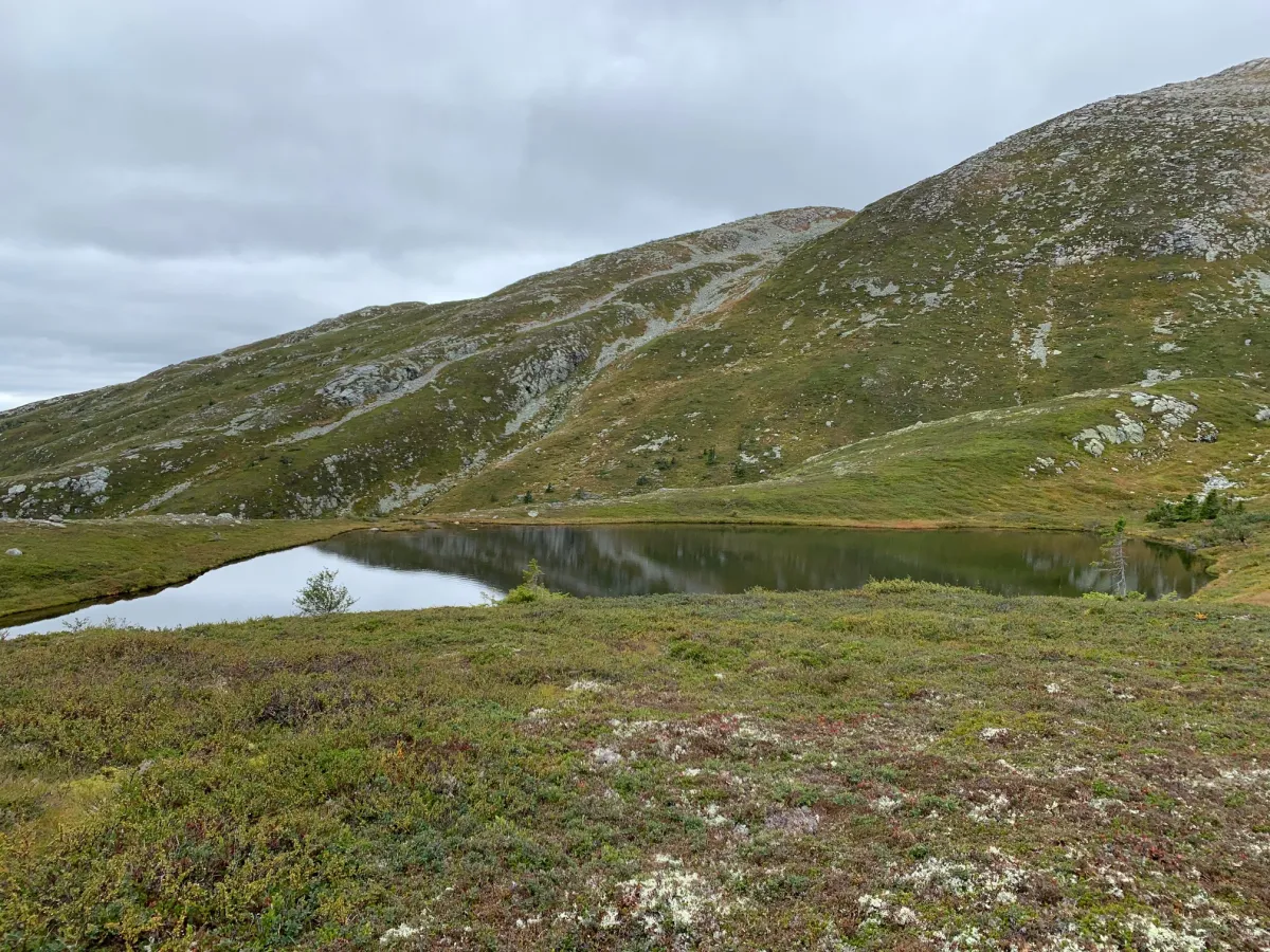
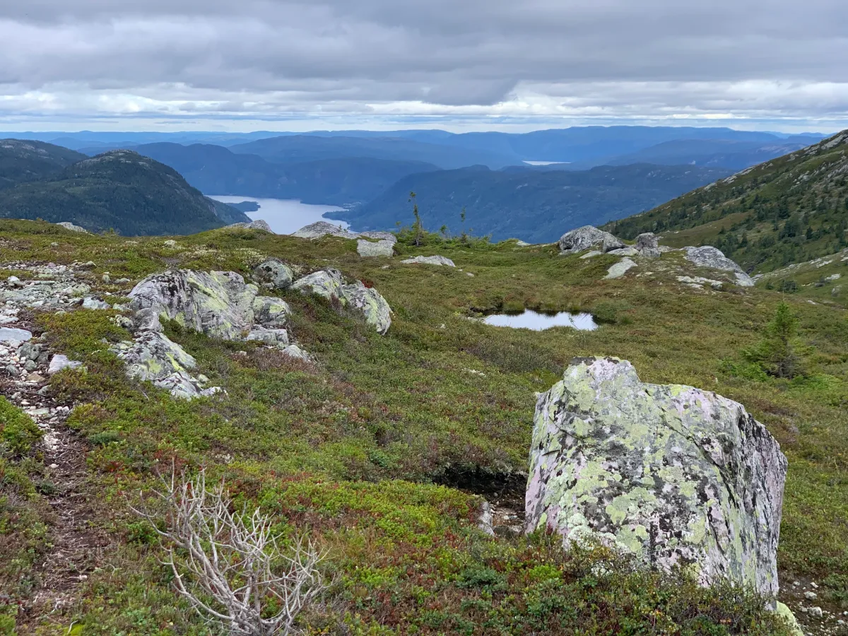
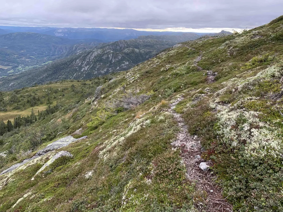
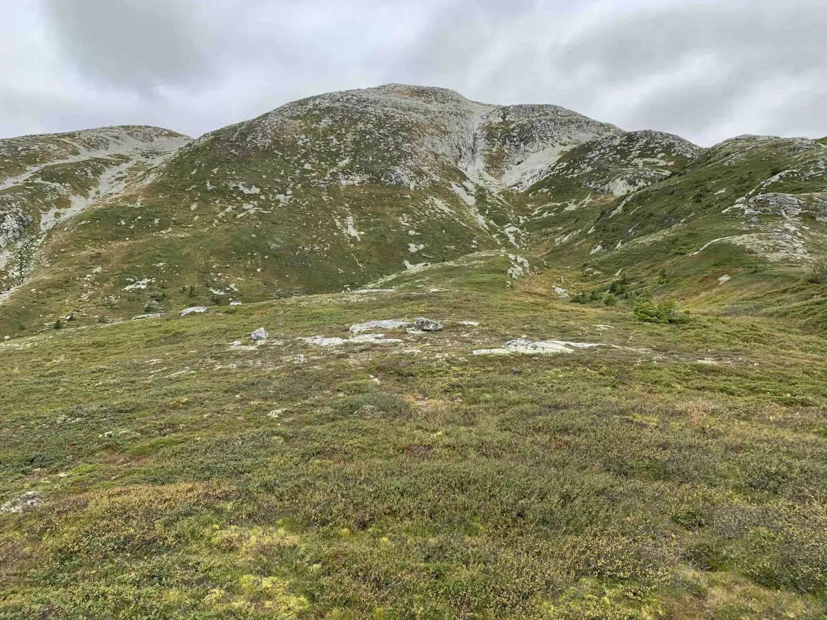
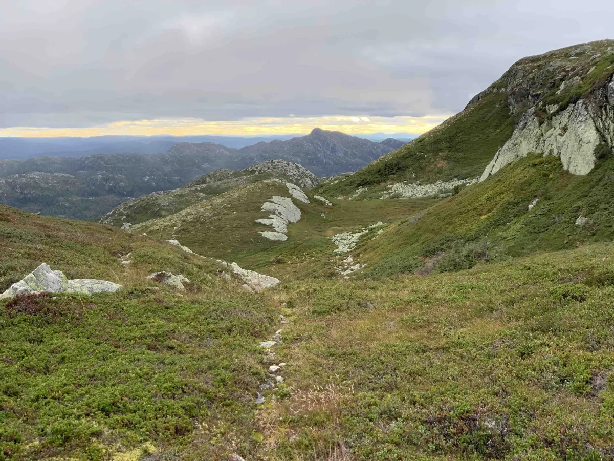
Many people have seen tjønni down on Humlenesfjellet by Spåsomsnuten, when standing on top of Gøysen and heading down towards Flatsjå. This is a great area for camping or exploring Spådomsnuten, which is close by. You have to go up to the front of Gøysen. Masivet in front of Skorvetoppen. There are great animal trails and paths all the way up. If you're at the top, you can go down the hill, but you should go back to the first kink about 3-400 meters below. Then it's much easier.
Photos (6)
1 / 6

User photos (5)

1 / 5
Practical info
- Direction
- tur-retur
- Season
- Summer
- Trail quality
- 3/5
- Solitude
- 5/5
Got any good trail tips?
Seljord
Telemark
fintur.no
Telemark
fintur.no