Jøronnatten - Bø
 T
T
Weather forecast
Hentar vêrdata…
Kjelde: Yr.no (Meteorologisk institutt)
Map and route
S Start
M Finish
▲ Highest point
▼ Lowest point
km Main route
↕ m Elevation
About this hike
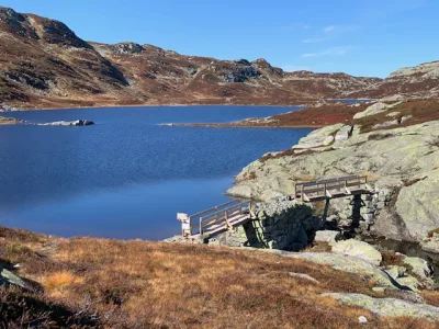
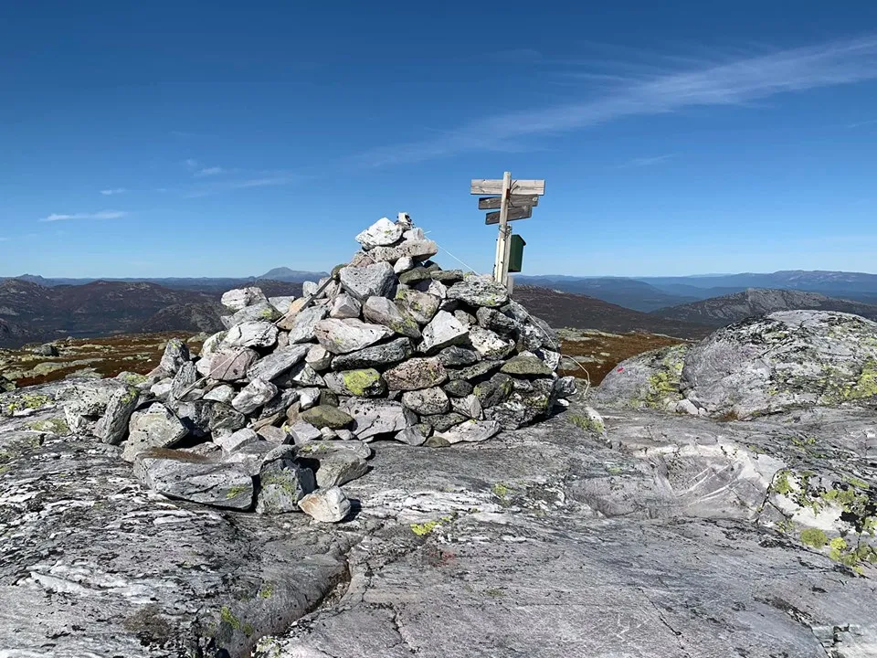
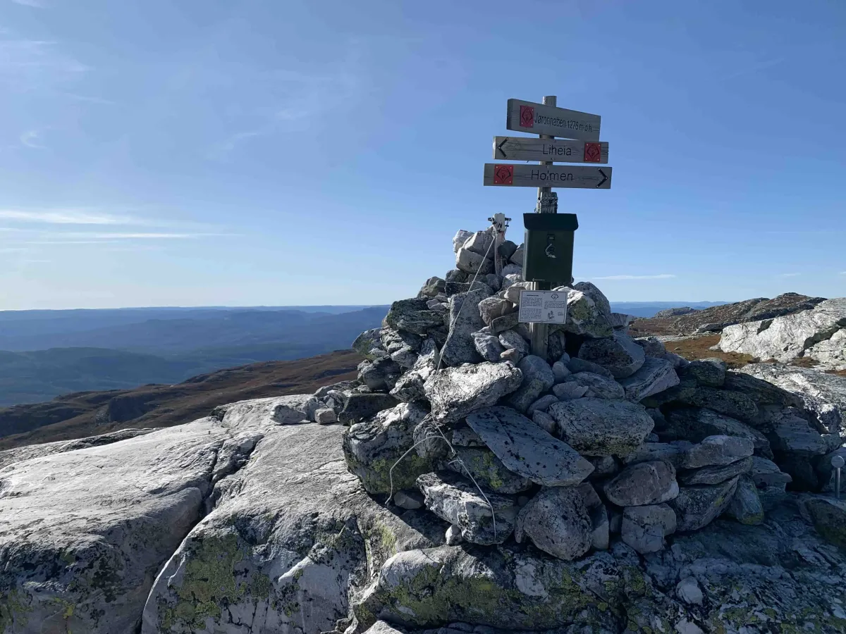
Jøronatten is a majestic peak on the Lifjell plateau, and is located where three municipalities meet: Bø, Seljord and Notodden. This is a mountain hike with wide views and a high mountain atmosphere all the way.
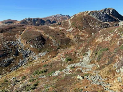
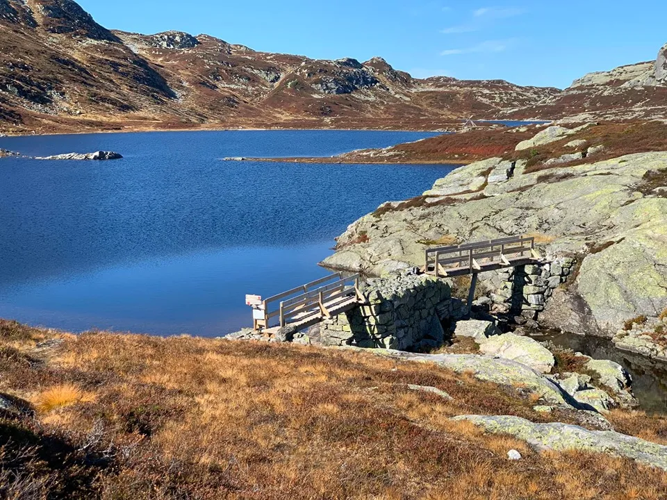
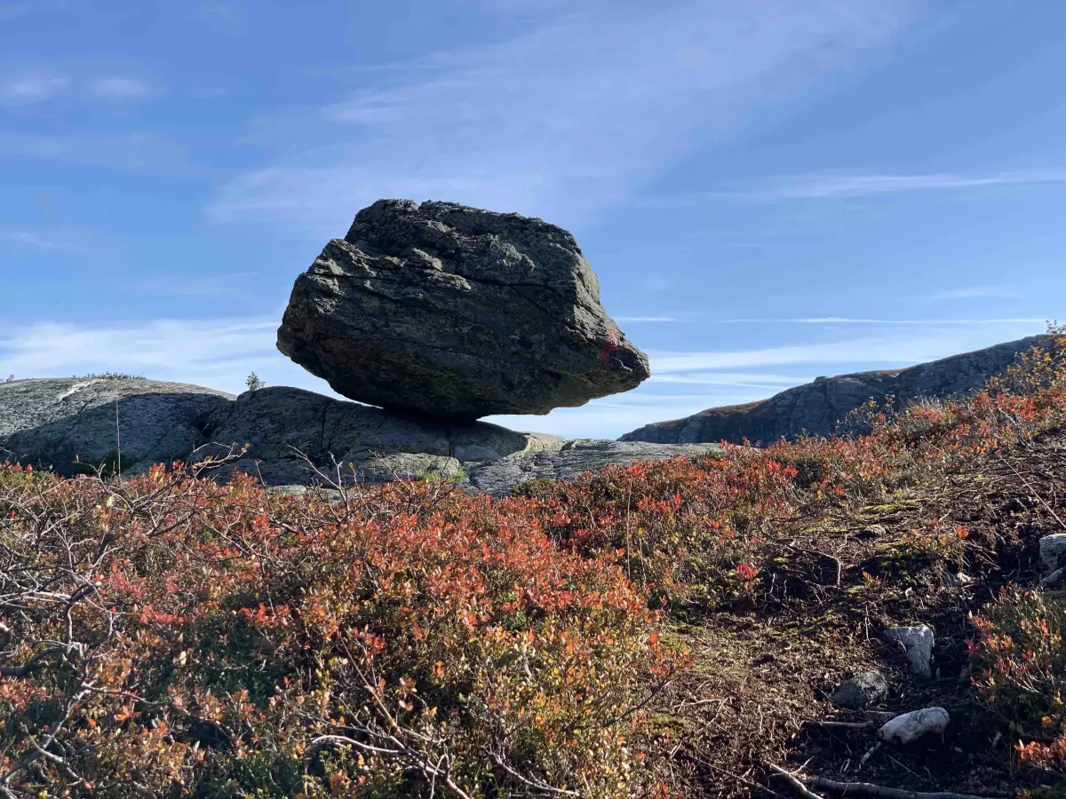
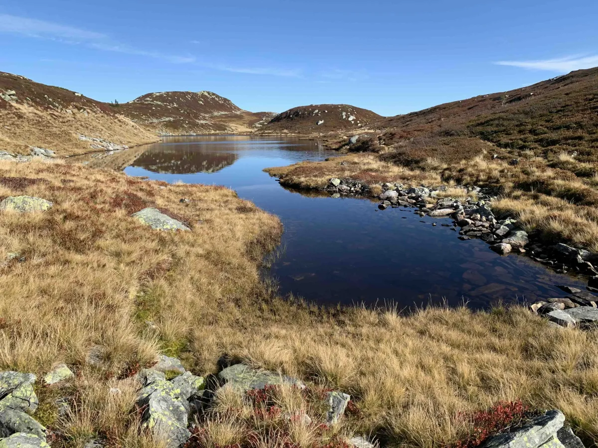
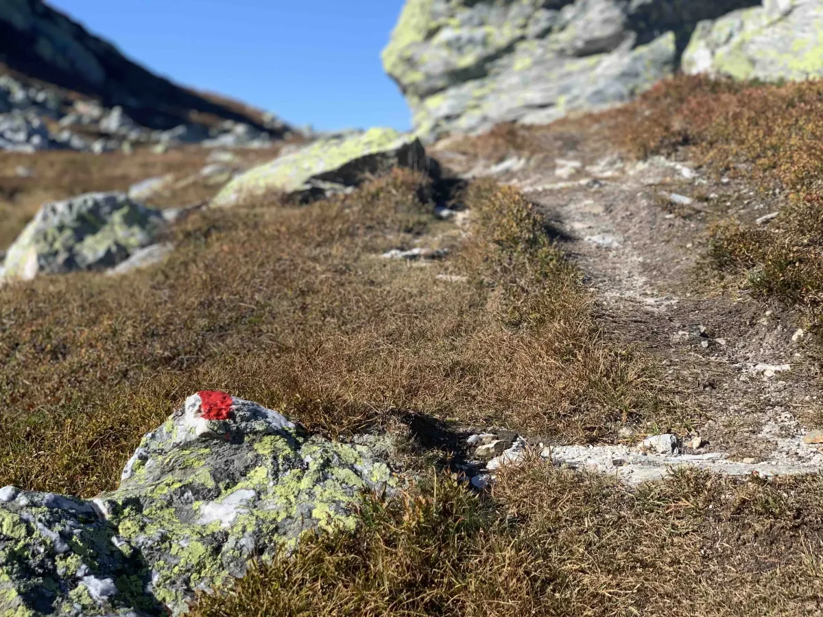
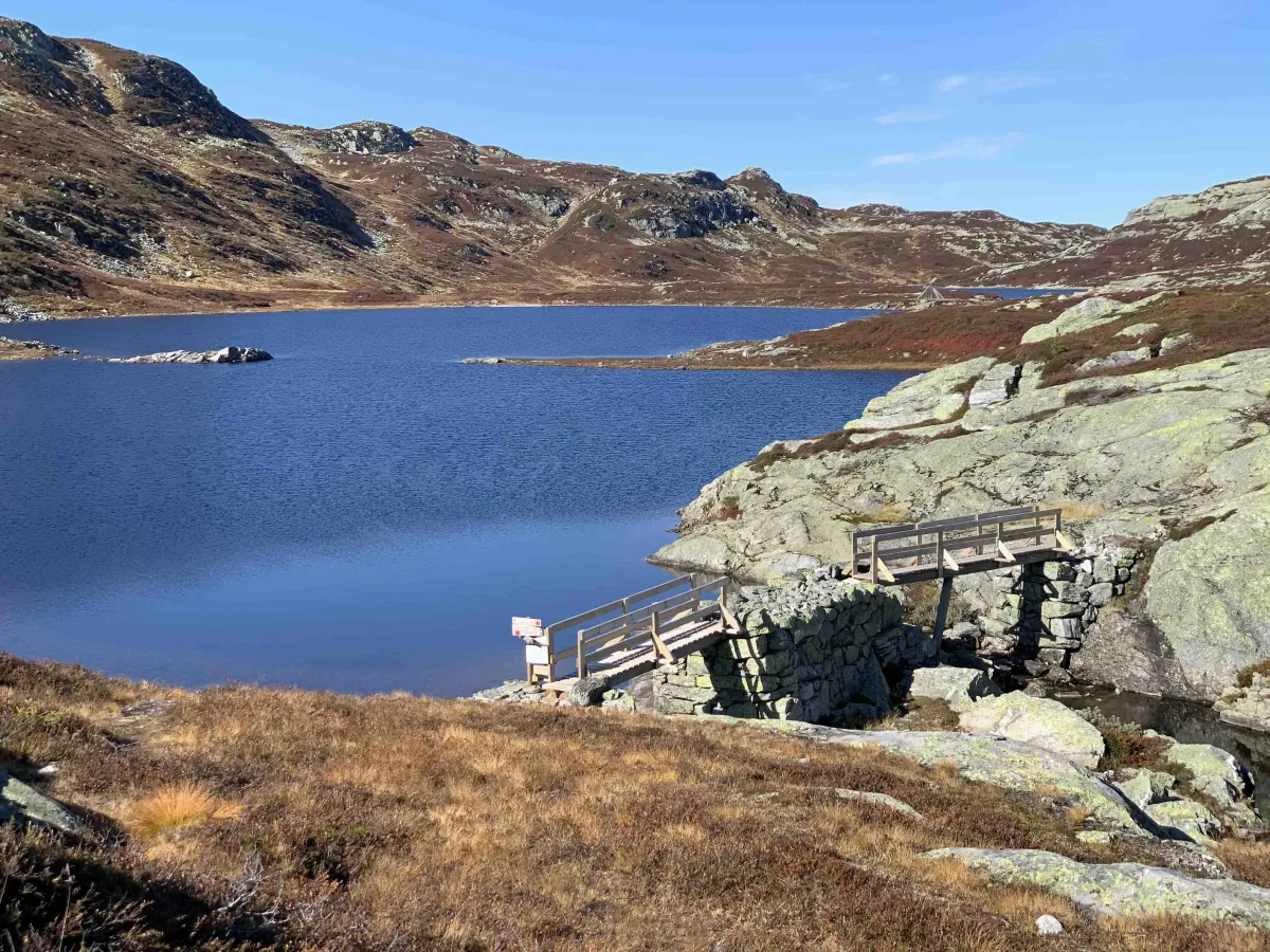
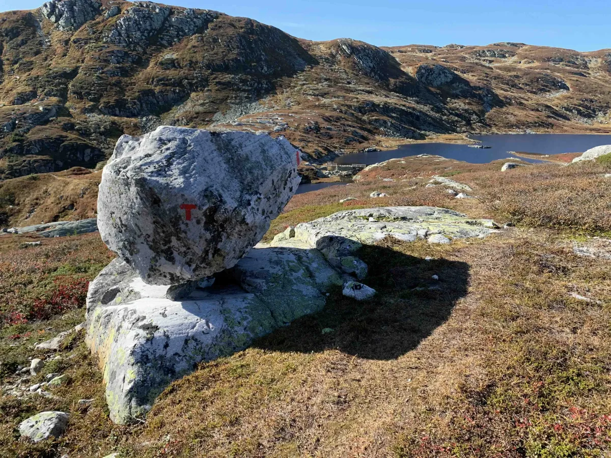
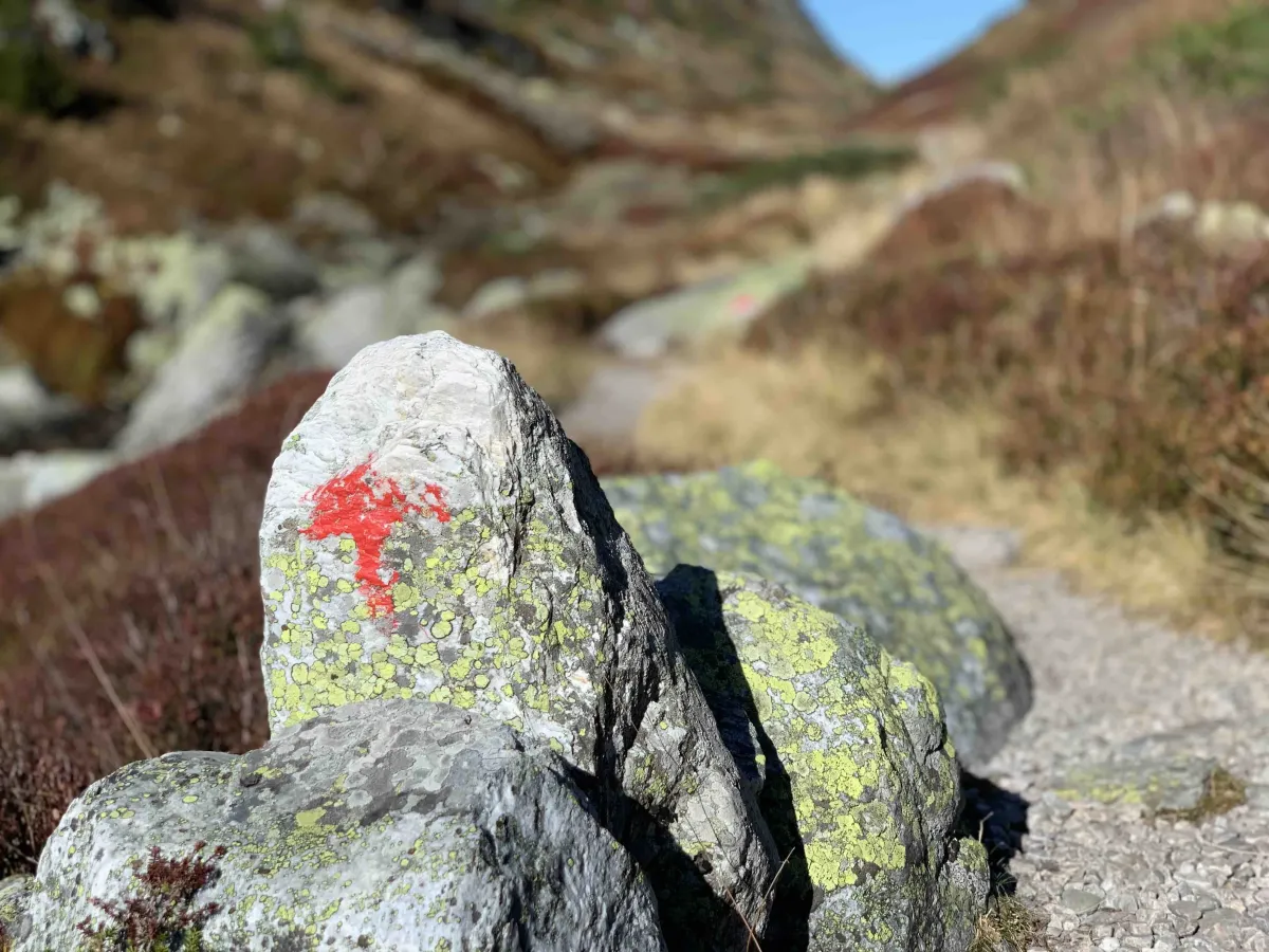
A great way to hike up to Jøronatten is to start from Manheim and the parking lot at Ballongfararsteinen - a little-known but exciting name linked to local history. From here you get a long and varied hike up to the top, through high mountain terrain with open plains, rocks and heather moorland.
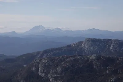
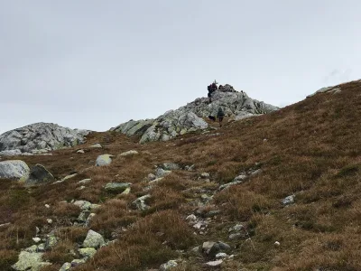
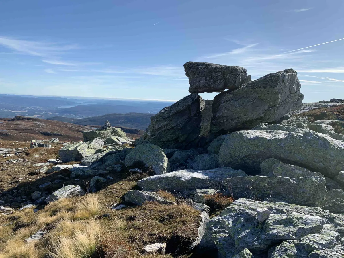
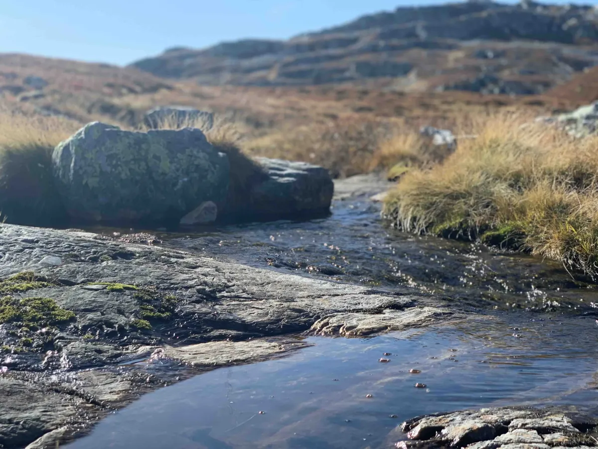
The path up is not steep, but steadily rising and long, and you get a real mountain feeling along the way. At the top, you can enjoy 360-degree views of large parts of Telemark - with views towards Gaustatoppen, Mælefjell, Lifjell Ridge and further towards Rauland and Hardangervidda in the distance.
This is a trip that is suitable for those who have plenty of time and enjoy long, leisurely hikes.
Length: Approx. 12-14 km round trip
Time: 5-6 hours
Altitude: 1276 m above sea level
Gradient: Never, moderate
Terrain: High mountains, heather moorland and rocks
Difficulty level: Moderate
Suitable for: Mountain hikers, long walks in open landscapes, view hikes with plenty of time
A great way to hike up to Jøronatten is to start from Manheim and the parking lot at Ballongfararsteinen - a little-known but exciting name linked to local history. From here you get a long and varied hike up to the top, through high mountain terrain with open plains, rocks and heather moorland.
The path up is not steep, but steadily rising and long, and you get a real mountain feeling along the way. At the top, you can enjoy 360-degree views of large parts of Telemark - with views towards Gaustatoppen, Mælefjell, Lifjell Ridge and further towards Rauland and Hardangervidda in the distance.
This is a trip that is suitable for those who have plenty of time and enjoy long, leisurely hikes.
Length: Approx. 12-14 km round trip
Time: 5-6 hours
Altitude: 1276 m above sea level
Gradient: Never, moderate
Terrain: High mountains, heather moorland and rocks
Difficulty level: Moderate
Suitable for: Mountain hikers, long walks in open landscapes, view hikes with plenty of time
Photos (2)
1 / 2
User photos (10)
1 / 10
Practical info
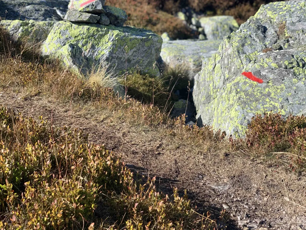
- Direction
- tur-retur
- Season
- Summer
- Trail quality
- 4/5
- Solitude
- 6/5
Got any good trail tips?
Midt-Telemark
Telemark
fintur.no
Telemark
fintur.no