Kivledalen rundt
Weather forecast
Hentar vêrdata…
Kjelde: Yr.no (Meteorologisk institutt)
Map and route
S Start
M Finish
▲ Highest point
▼ Lowest point
km Main route
↕ m Elevation
About this hike
Kivledalen round - varied round trip in Seljord
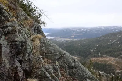
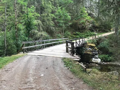
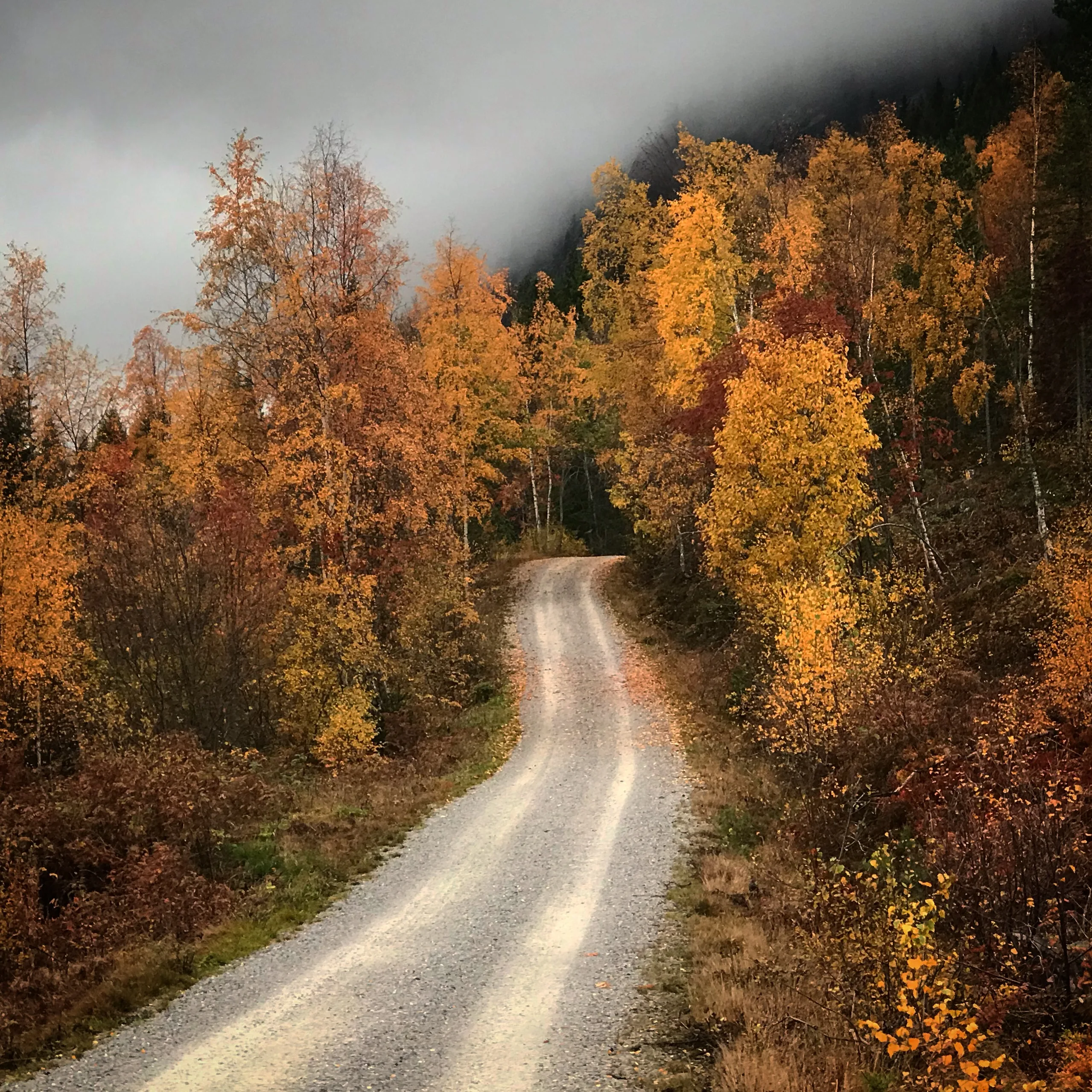
This is a long and versatile round trip with good variation in terrain and views. There are climbs, open sections and easy descents - and the route follows paths, gravel roads and rural roads.
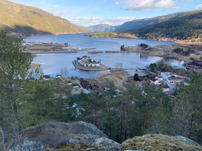
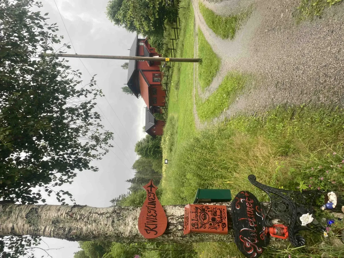
The tour starts from the bank at Brøløs, and goes through the city center and on towards Prestegarden. From there you start the climb up to Venås, and continue through Kivlegrendi to Tressland.
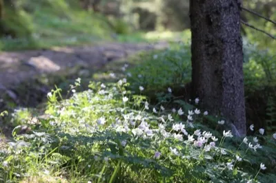
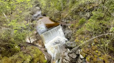
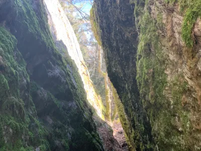
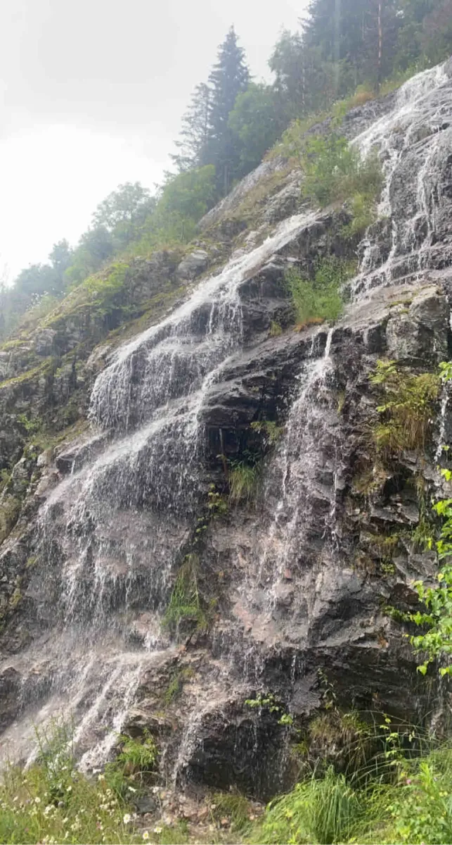
From Tressland you walk up to Åsan, and then descend through the narrow and lush Hanakamjuvet. The trail then continues down Kivledalen, through Åsheimgrendi, and back to the starting point at the bank.
This is a good exercise hike with varied terrain - and is suitable for those who want to go on a long hike in the local area without having to climb to the top.
Length: Approx. 12-14 km on a circular trail
Time: 3-4 hours
Gradient: Easy to moderate
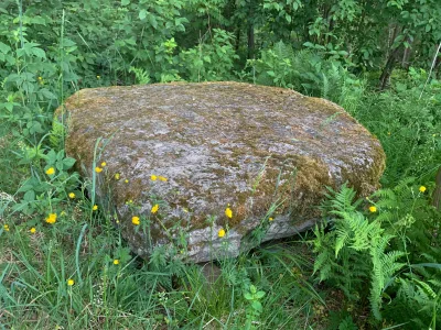
Terrain: Road, gravel road, path and nature trail
Difficulty level: Moderate
Suitable for: Exercise, walk with friends, afternoon walk with some length
This is a long and versatile round trip with good variation in terrain and views. There are climbs, open sections and easy descents - and the route follows paths, gravel roads and rural roads.
The tour starts from the bank at Brøløs, and goes through the city center and on towards Prestegarden. From there you start the climb up to Venås, and continue through Kivlegrendi to Tressland.
From Tressland you walk up to Åsan, and then descend through the narrow and lush Hanakamjuvet. The trail then continues down Kivledalen, through Åsheimgrendi, and back to the starting point at the bank.
This is a good exercise hike with varied terrain - and is suitable for those who want to go on a long hike in the local area without having to climb to the top.
Length: Approx. 12-14 km on a circular trail
Time: 3-4 hours
Gradient: Easy to moderate
Terrain: Road, gravel road, path and nature trail
Difficulty level: Moderate
Suitable for: Exercise, walk with friends, afternoon walk with some length
Photos (1)

User photos (3)
1 / 3
Practical info
- Direction
- tur-retur
- Season
- Summer
- Trail quality
- 2/5
- Solitude
- 2/5
Got any good trail tips?
Seljord
Telemark
fintur.no
Telemark
fintur.no