Kjærlighetsstien
Weather forecast
Hentar vêrdata…
Kjelde: Yr.no (Meteorologisk institutt)
Map and route
S Start
M Finish
▲ Highest point
▼ Lowest point
km Main route
↕ m Elevation
About this hike
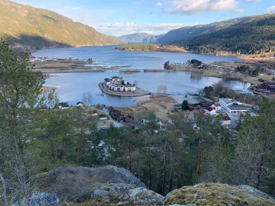
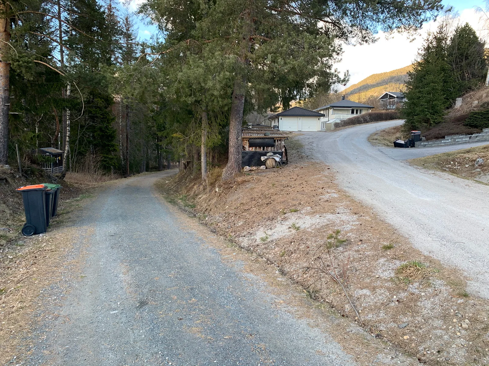
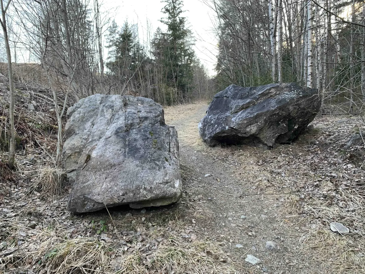
Kjærlighetssteinen - a small, cozy and well-known hiking trail in the heart of Seljord
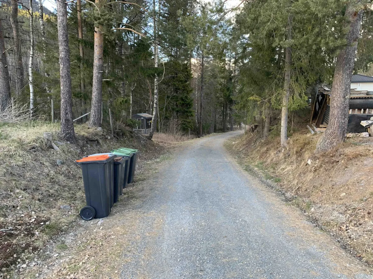
Kjærlighetssteinen is a short and popular hiking trail that winds between Bringsås and Prestegardsvegen in Seljord. The trail is widely used by hikers, exercisers and families alike - and is part of the collective hiking memory in the village.
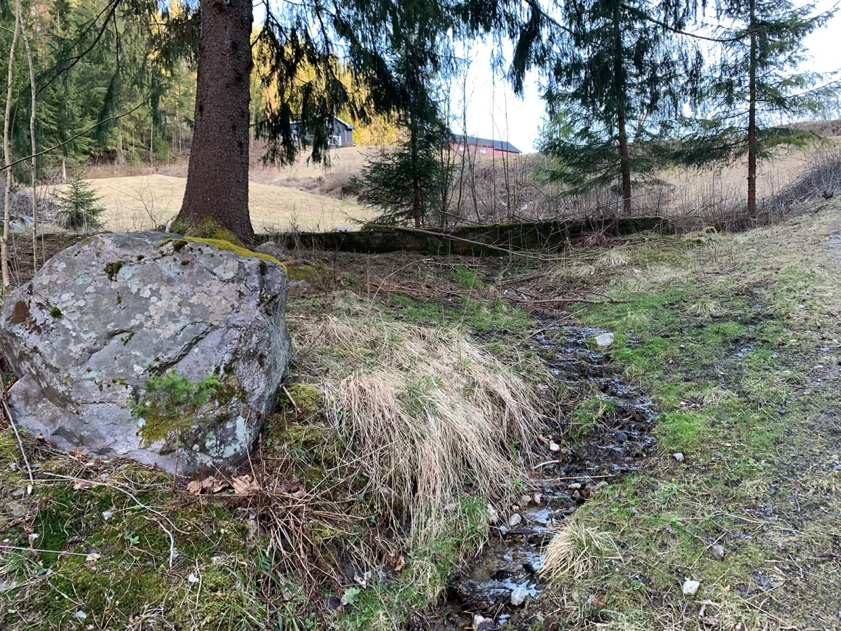
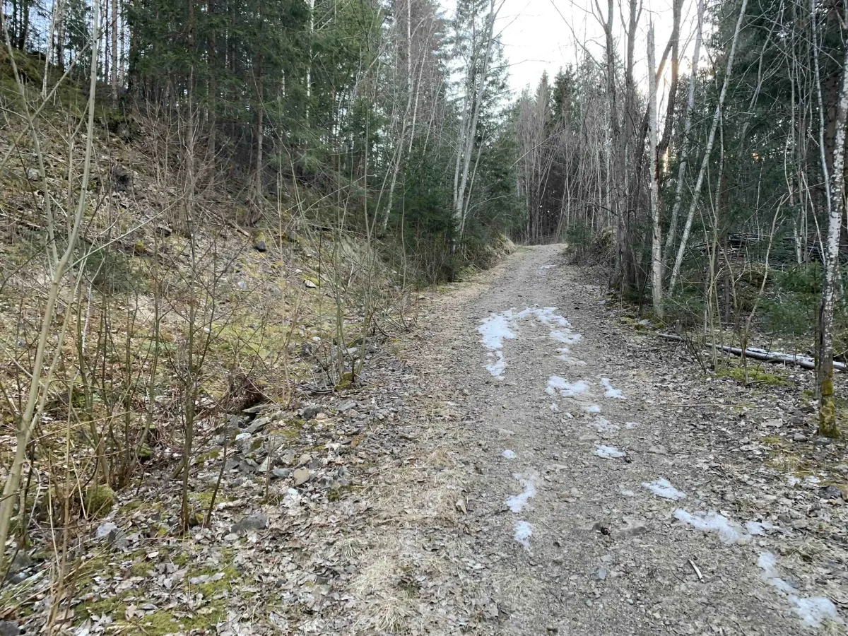
This is a classic local walk that is suitable all year round - as long as there is not too much snow and ice, because then the path can be slippery and require careful driving.
Combinations and circular trails:
- The hike can easily be combined with Bringsåsnuten, for those who want to go further up.
- You can also take a round trip via Harthol, or make a circular trail on Brøløs and old Gullnesveg.
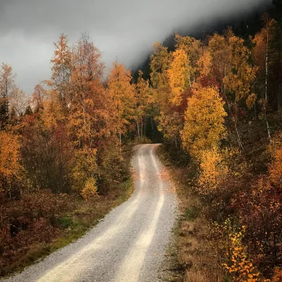
- Many people use the trail as a shortcut to Eventyrøy, especially on fine spring and autumn days
Facts about the hike:
- Length: Approx. 1-2 km (varies according to route choice)
- Level: Easy - but can be slippery on ice and snow
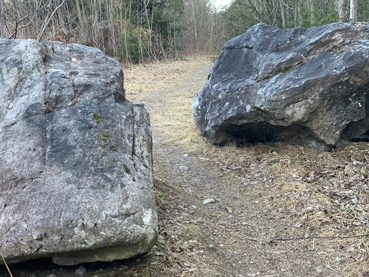
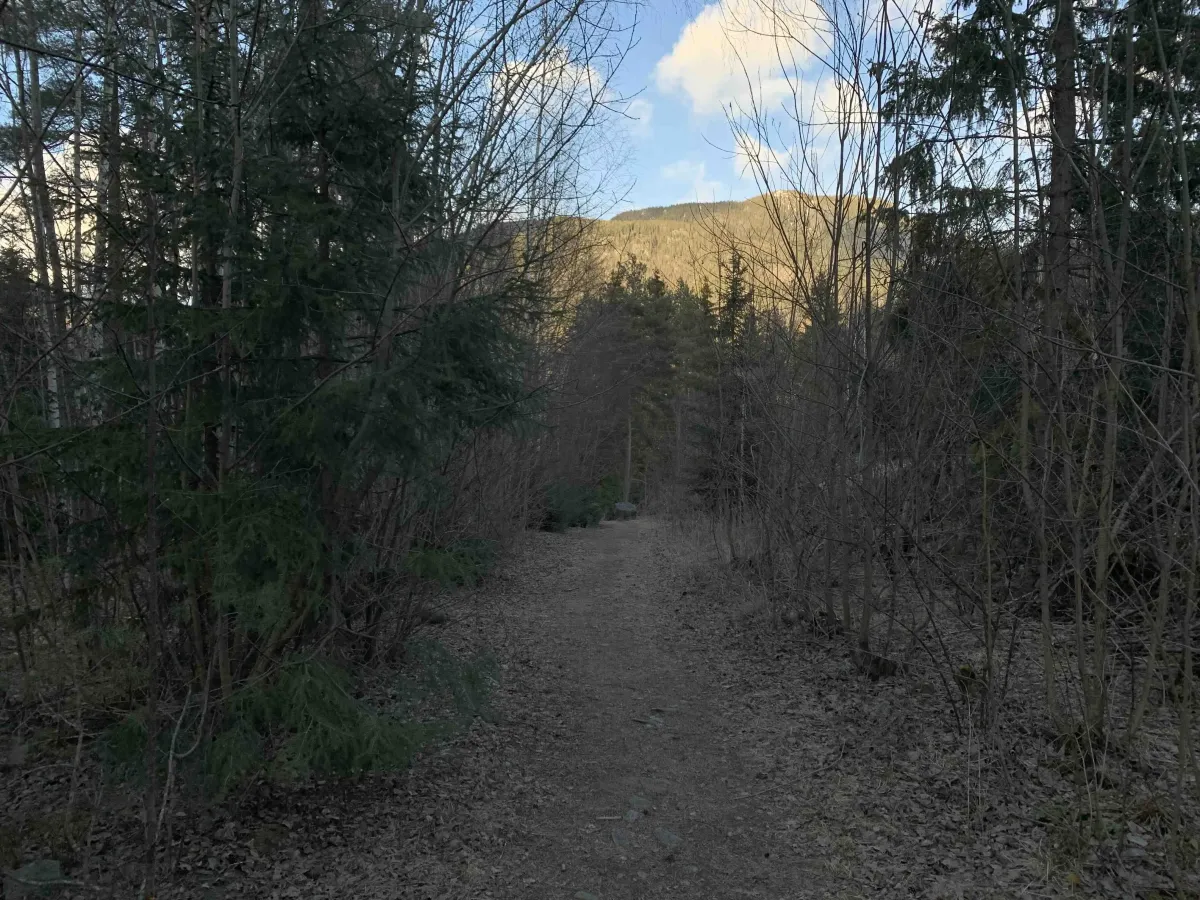
- Surface: Forest path and tread.
- Time: 20-30 minutes round trip (short variant)
Hiking tips:
- Perfect for a short walk to get some fresh air.
- Wear hiking boots in winter - the trail can be scary when it freezes
- Suitable for all ages - also for those who just want a little break in nature
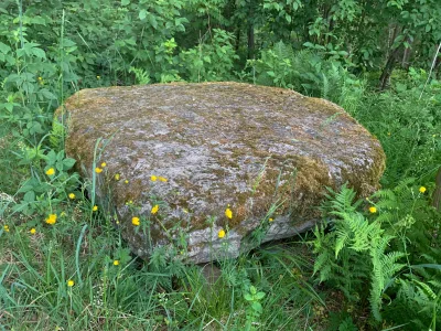
- Sit down by the rock and listen to the birds - the walk is as much about the atmosphere as the view
Kjærlighetssteinen is a short and popular hiking trail that winds between Bringsås and Prestegardsvegen in Seljord. The trail is widely used by hikers, exercisers and families alike - and is part of the collective hiking memory in the village.
This is a classic local walk that is suitable all year round - as long as there is not too much snow and ice, because then the path can be slippery and require careful driving.
Combinations and circular trails:
- The hike can easily be combined with Bringsåsnuten, for those who want to go further up.
- You can also take a round trip via Harthol, or make a circular trail on Brøløs and old Gullnesveg.
- Many people use the trail as a shortcut to Eventyrøy, especially on fine spring and autumn days
Facts about the hike:
- Length: Approx. 1-2 km (varies according to route choice)
- Level: Easy - but can be slippery on ice and snow
- Surface: Forest path and tread.
- Time: 20-30 minutes round trip (short variant)
Hiking tips:
- Perfect for a short walk to get some fresh air.
- Wear hiking boots in winter - the trail can be scary when it freezes
- Suitable for all ages - also for those who just want a little break in nature
- Sit down by the rock and listen to the birds - the walk is as much about the atmosphere as the view
Photos (4)

1 / 4

User photos (4)
1 / 4
Practical info
- Direction
- enveis
- Season
- Summer
- Trail quality
- 3/5
- Solitude
- 4/5
Got any good trail tips?
Seljord
Telemark
fintur.no
Telemark
fintur.no