Kyrkjenuten

Weather forecast
Hentar vêrdata…
Kjelde: Yr.no (Meteorologisk institutt)
Map and route
S Start
M Finish
▲ Highest point
▼ Lowest point
km Main route
km Alternativ rute
↕ m Elevation
About this hike
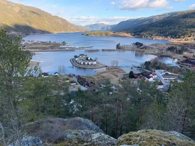
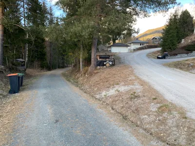
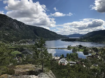
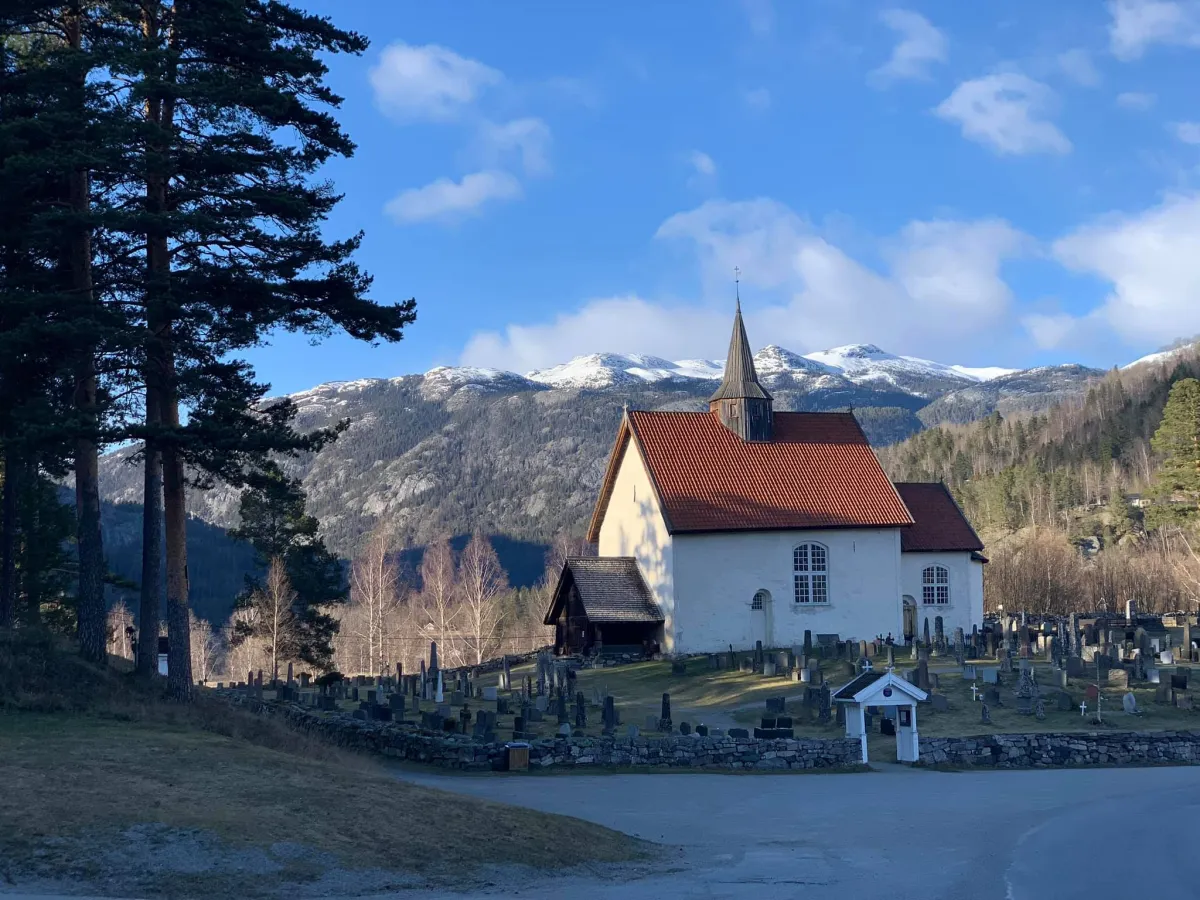
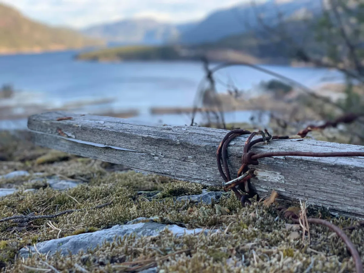
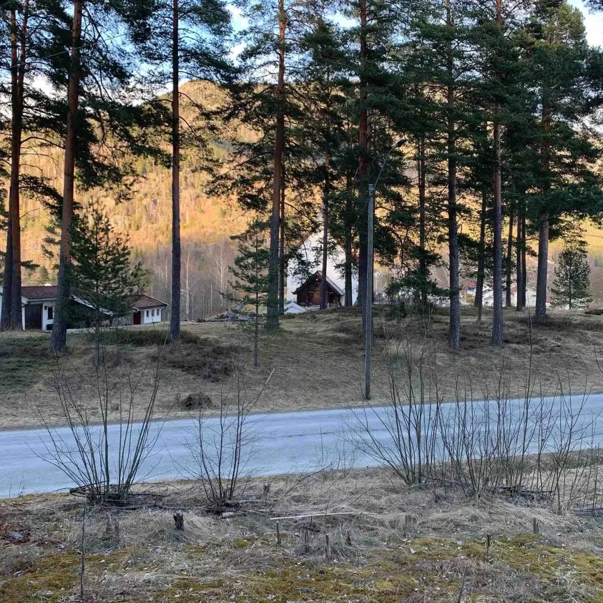
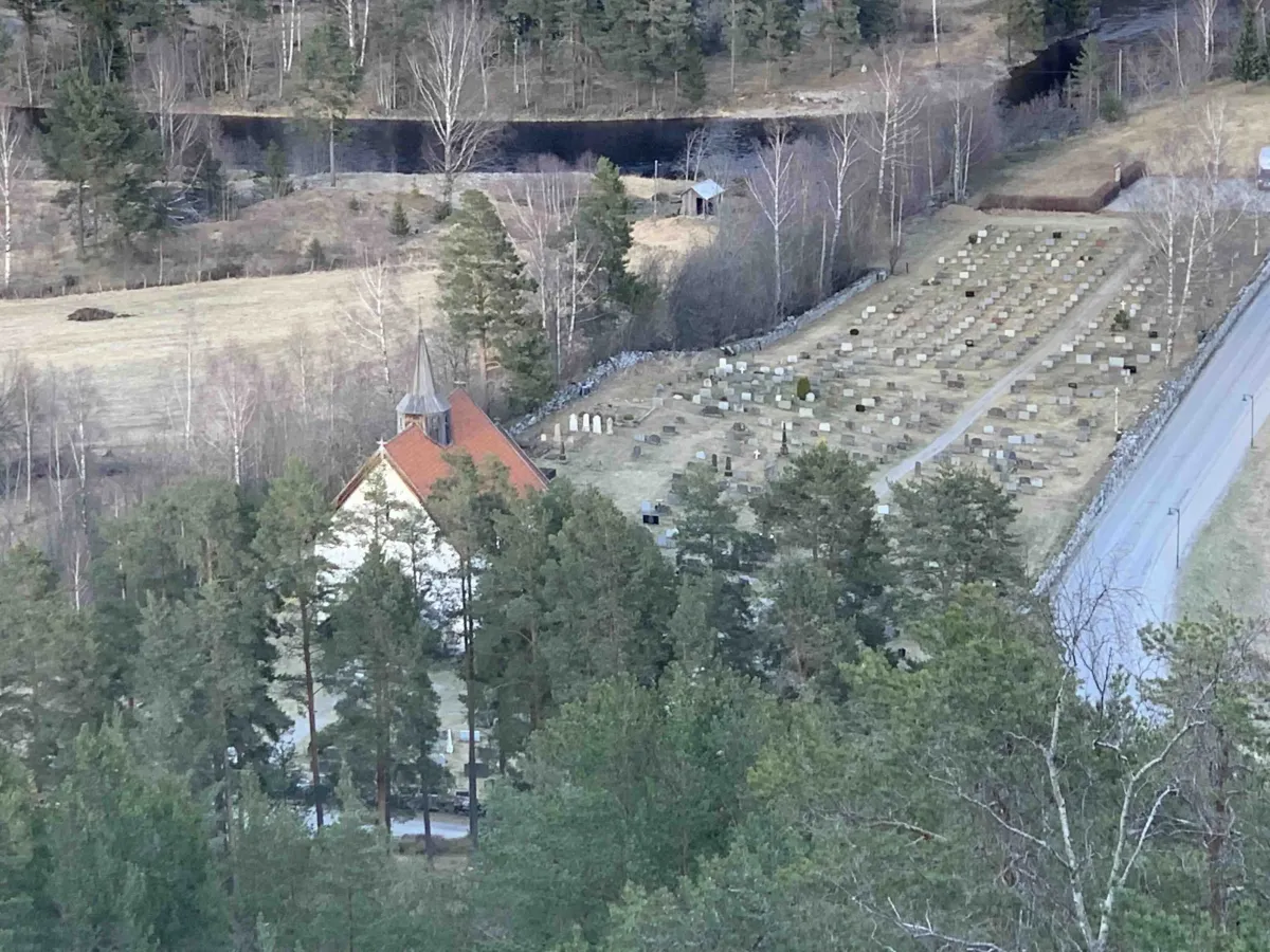
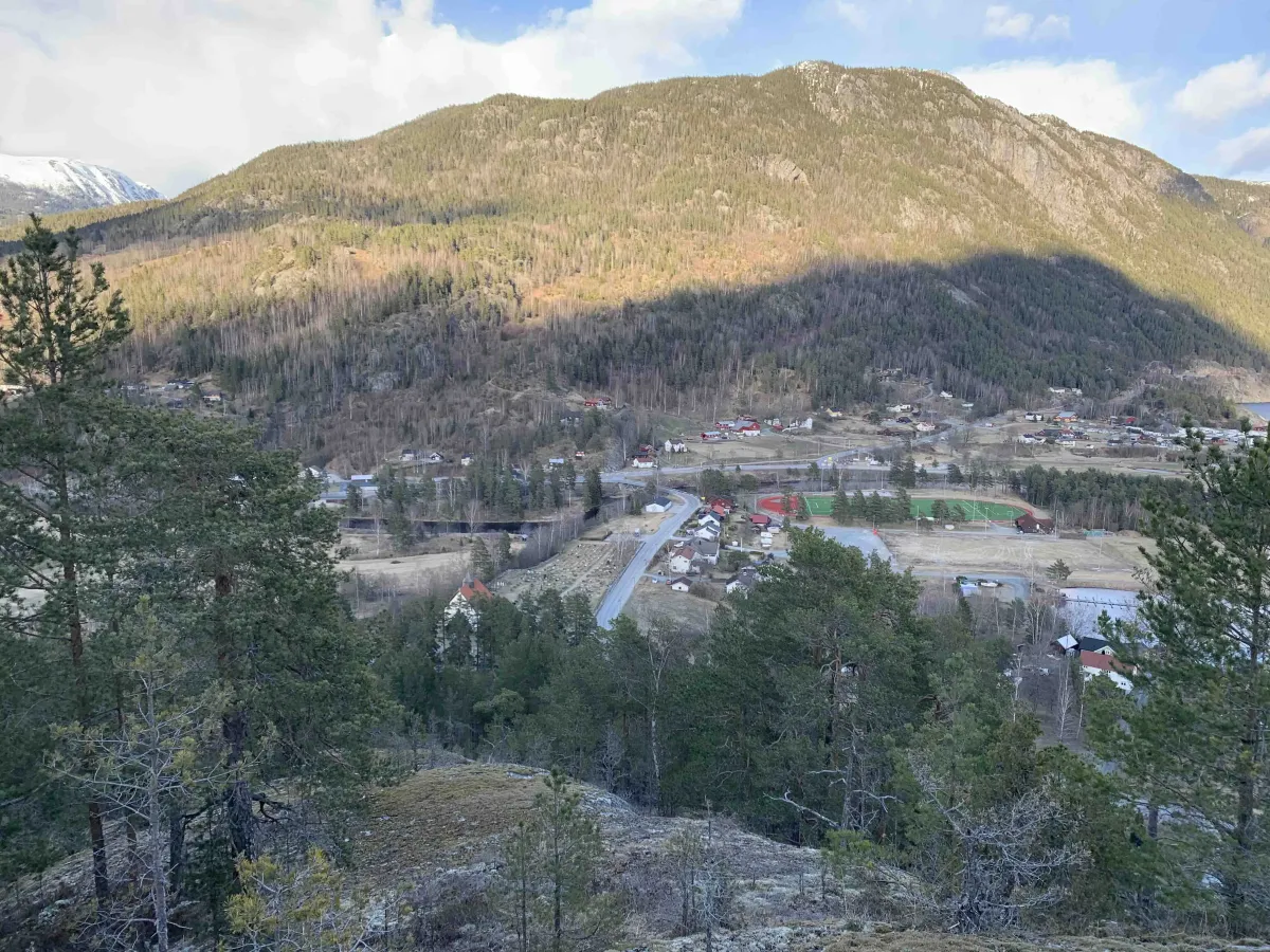
Kyrkjenuten is only about ten meters lower than its neighbor Bringsåsnuten. The route is closer to Seljord church - hence the name - and has a different access road than Bringsåsnuten. The hike starts from the church and goes up towards the area where "Sterke-Nils-stoga" used to stand.
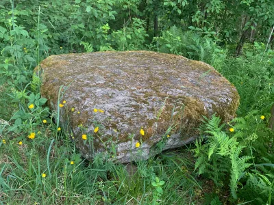
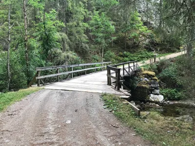
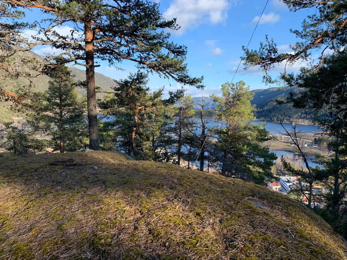
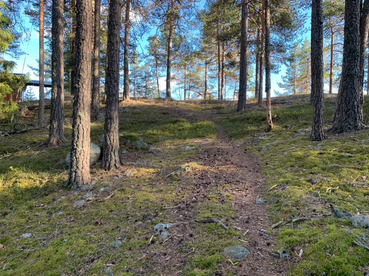
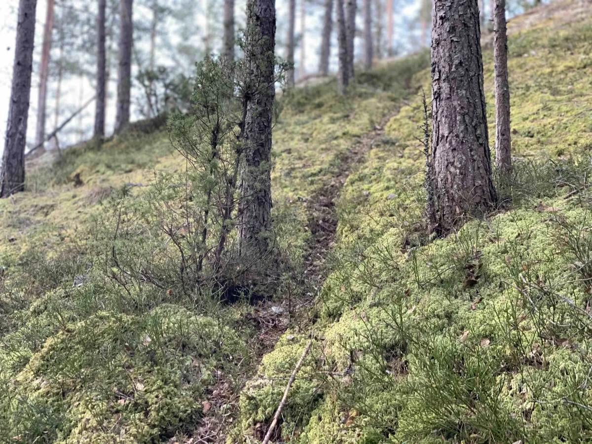
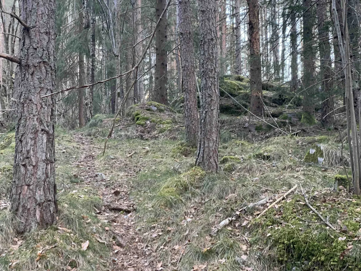
There are several paths that wind their way upwards, and it is also possible to make your way in free terrain over rocks. From the start, it's only a few hundred meters to the top, with around 100 vertical meters of ascent. The terrain runs through beautiful open forest, and the hike is both easy and enjoyable.
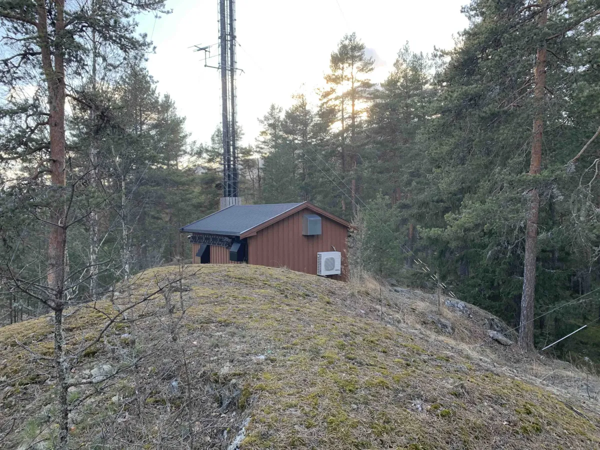
At the top there is a mast with an associated mast house - you pass these before you reach the top.
There are several paths that wind their way upwards, and it is also possible to make your way in free terrain over rocks. From the start, it's only a few hundred meters to the top, with around 100 vertical meters of ascent. The terrain runs through beautiful open forest, and the hike is both easy and enjoyable.
At the top there is a mast with an associated mast house - you pass these before you reach the top.
Photos (5)

1 / 5
User photos (6)
1 / 6
Practical info
- Direction
- tur-retur
- Season
- Summer
- Trail quality
- 3/5
- Solitude
- 4/5
Got any good trail tips?
Seljord
Telemark
fintur.no
Telemark
fintur.no