Lidgrendi

Vêrvarsel
Hentar vêrdata…
Kjelde: Yr.no (Meteorologisk institutt)
Kart og rute
S Start
M Mål
▲ Høgaste punkt
▼ Lågaste punkt
km Hovudrute
km Alternativ rute
↕ m Stigning
Om turen
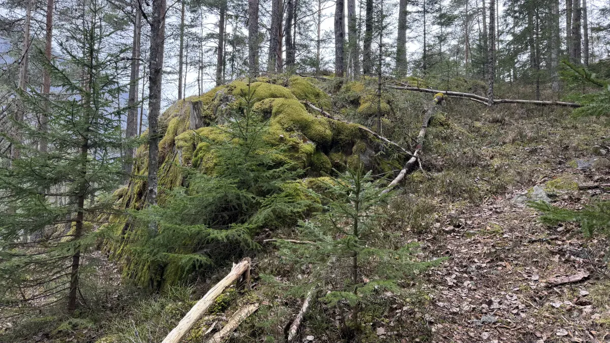
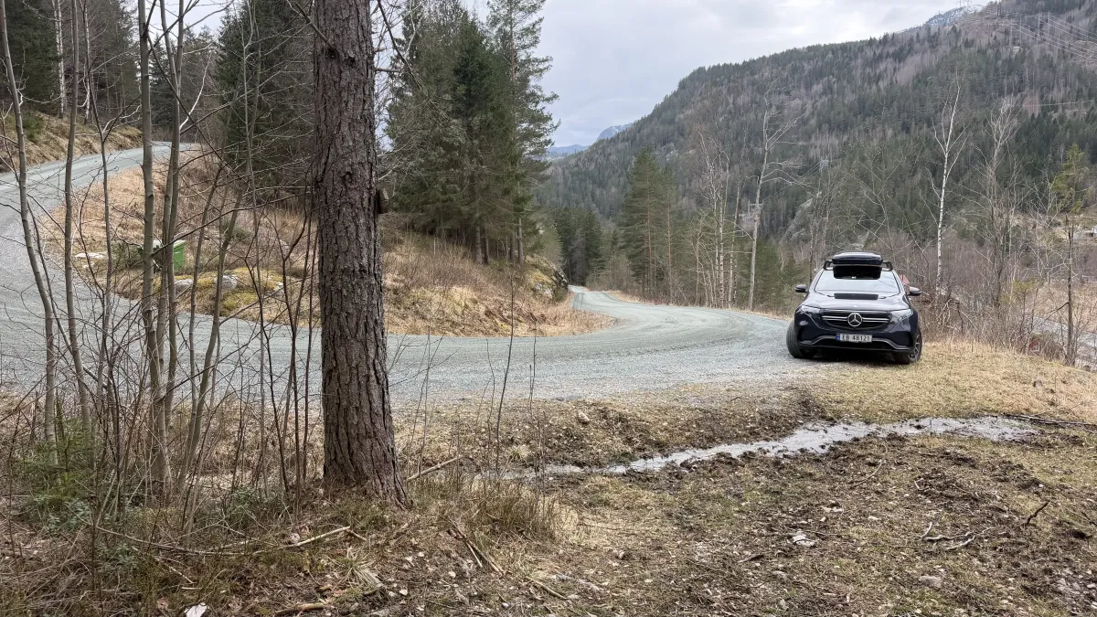
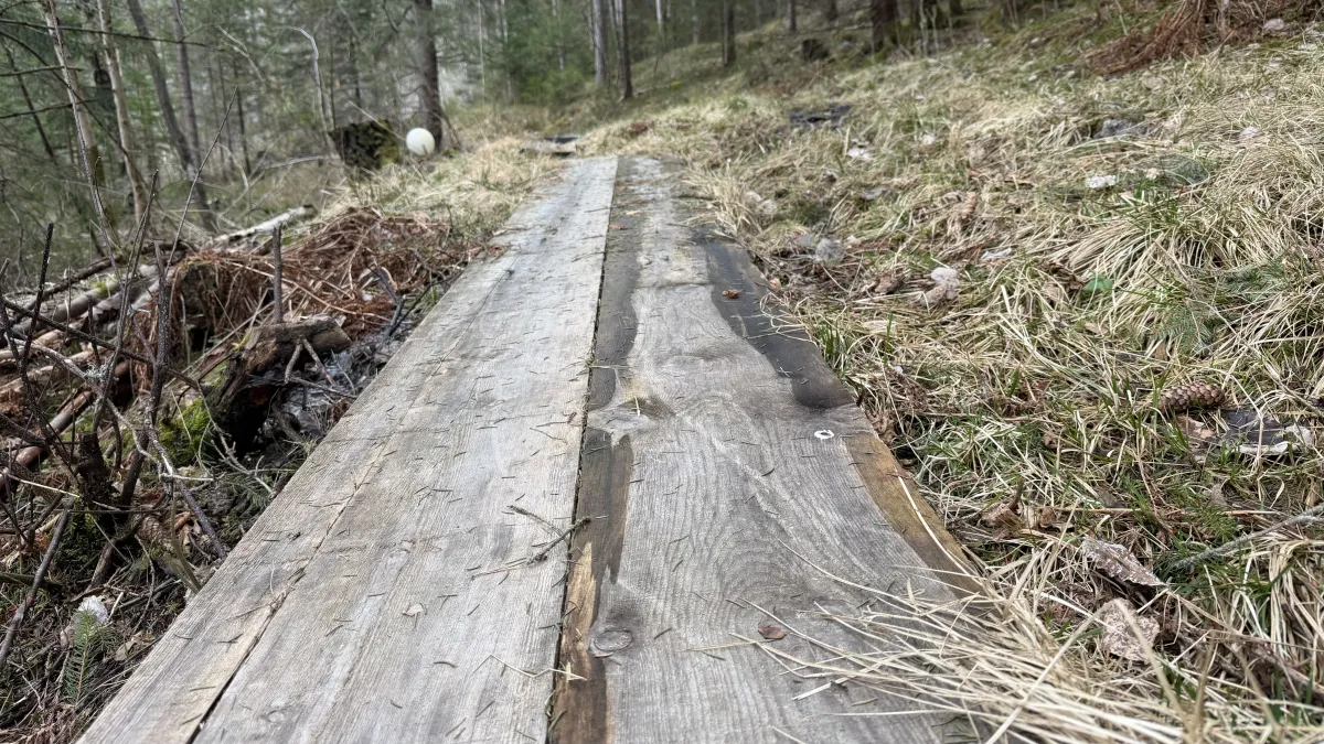
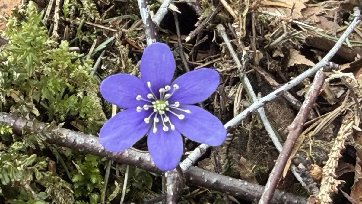
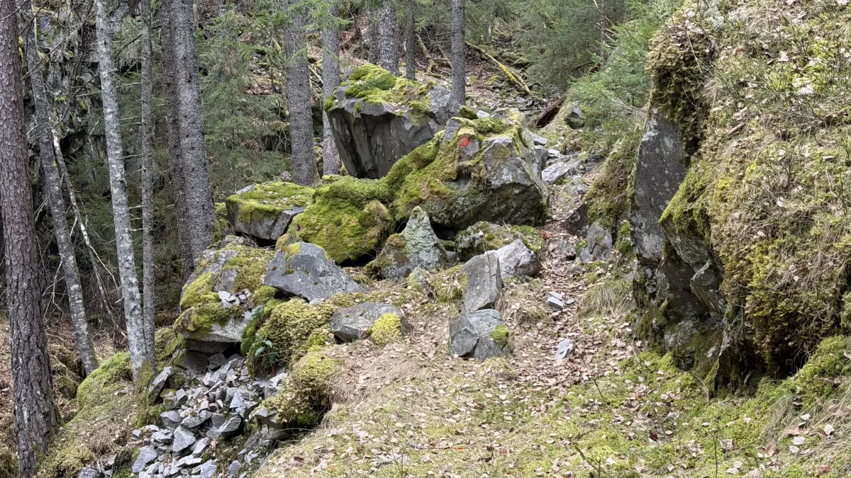
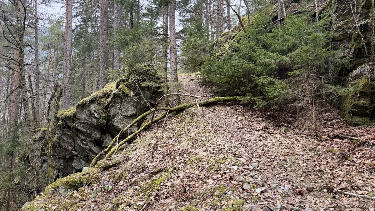
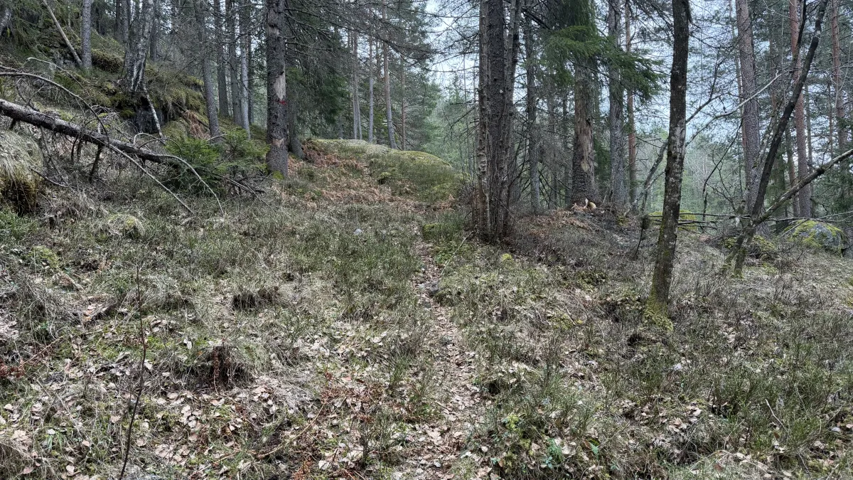
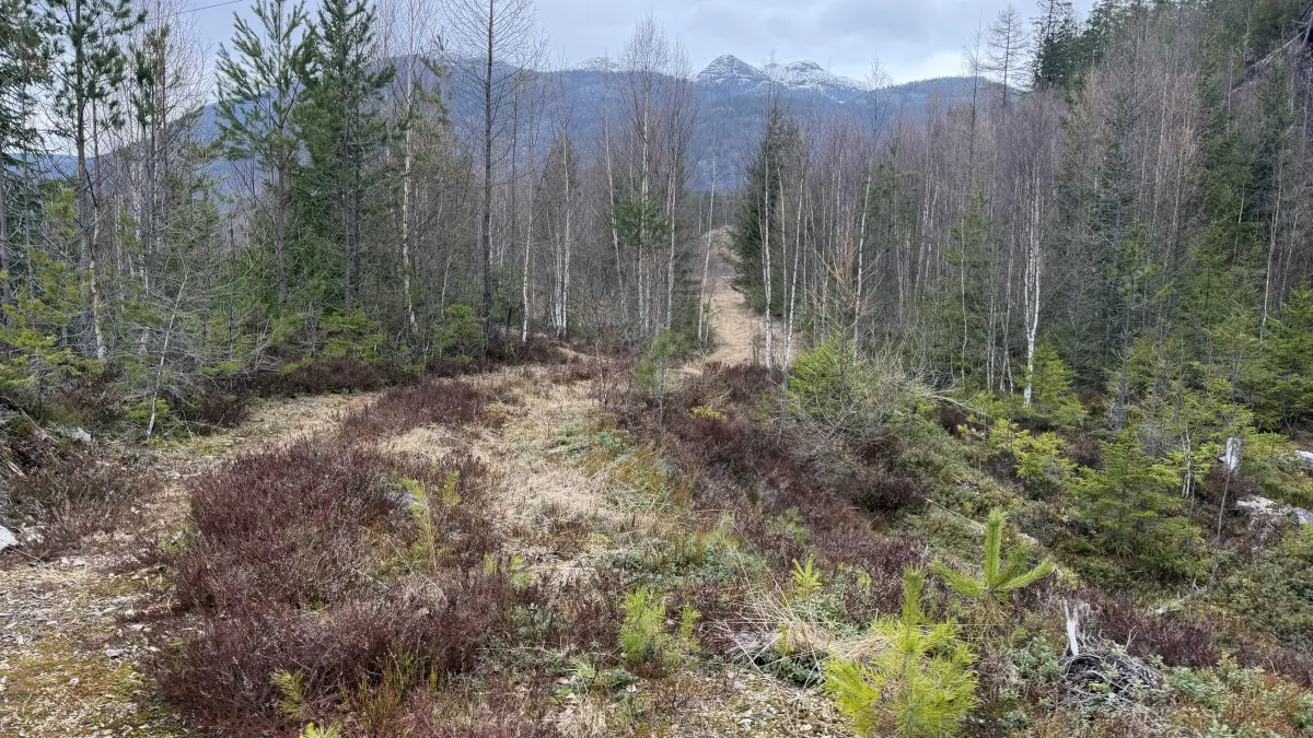
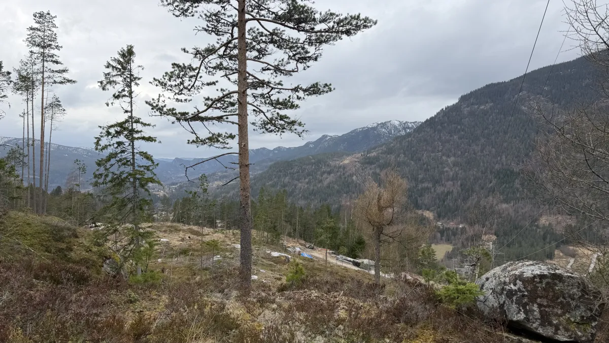
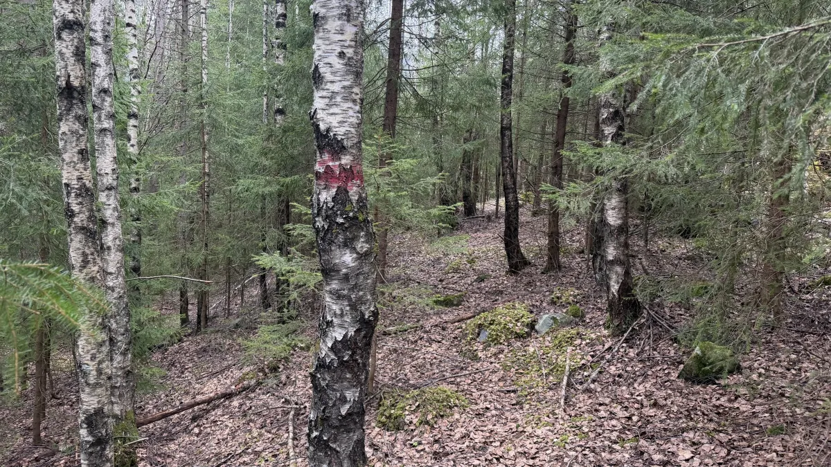
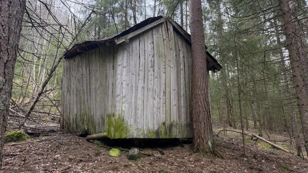
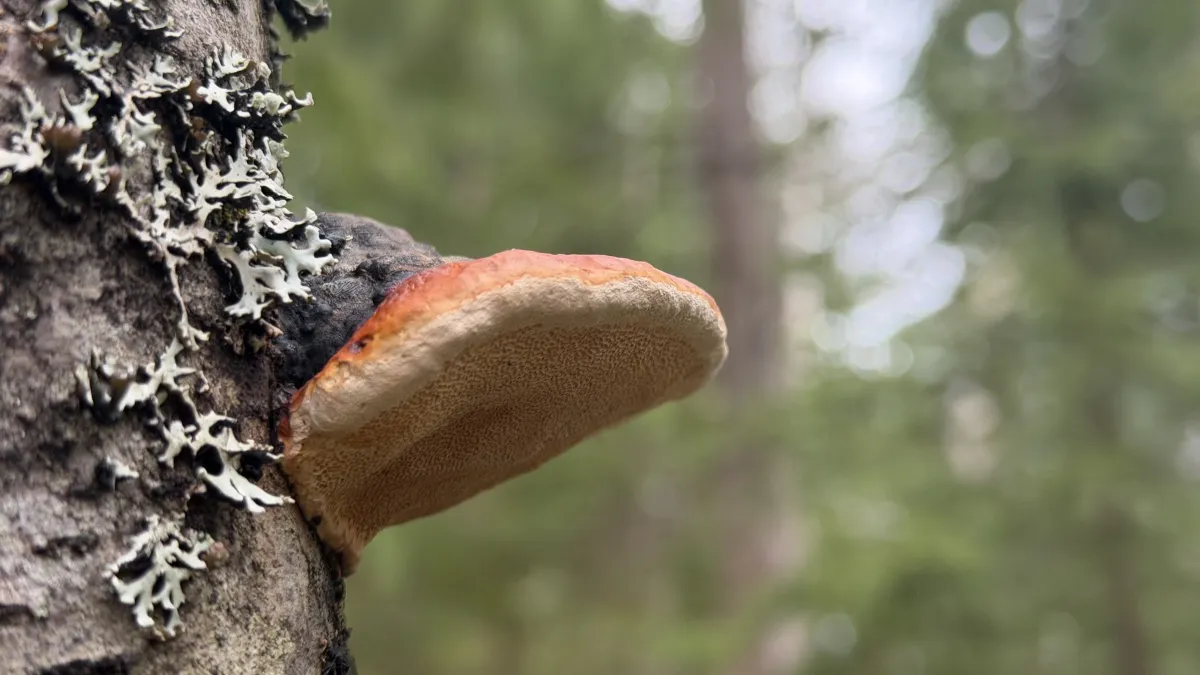
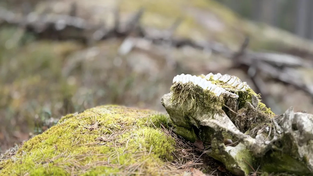
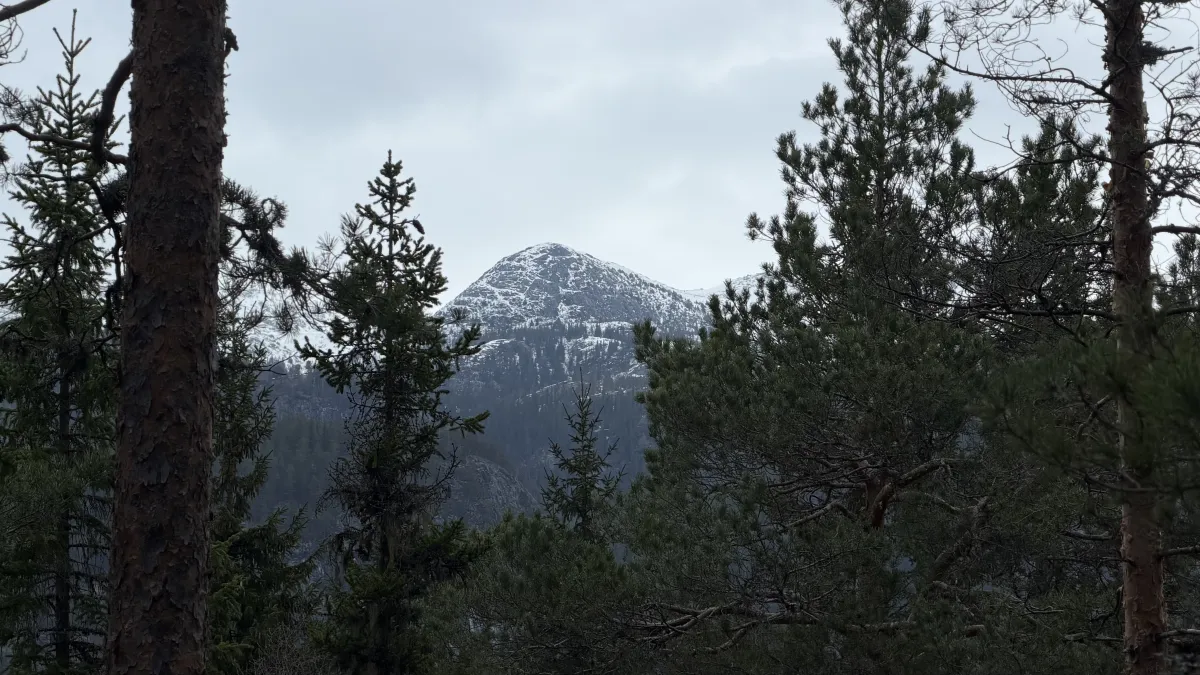
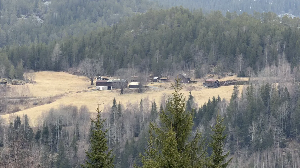
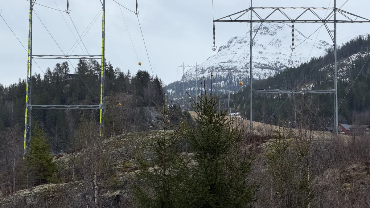
Lidgrendi. Me har ein flott turveg i frå fyrste sving på Grunnnngsdalsvegen (etter bommen) og inn i skogen. Fyrst, over hogstfeltet, så inn til tussane. Velig flotte skogsområde (over Krokan-skjeringa) med gamal-skog og mykje møsebelagt stein. Turen gjeng til Lid og kan knekke av der og ut på vegen i den 4 svingen på Grunnkngsdalsvegen. Eller, så kan ein gå på gamle stiar ovafor Lid (Loftsgarden) og bort mot Borkeåi og opp over mot Reinstaul-parkeringa (der Bjørgefjell turen startar). Den lange turen er på 7 km med 400 stigningsmeter. 2 timar. Den korte er snaue 3 km. Like fine begge to. Tida er inne for nærturar nå. Snart gror dei, att.
Bilete (16)
1 / 16
Praktisk info
- Retning
- tur-retur
- Sesong
- Sommar
- Copyright
- © Fintur
- Foto
- Hans Inge Hagen
- Kjelde
- Hans Inge
Har du gode turtips?
Seljord
Telemark
fintur.no
Telemark
fintur.no