Lidgrendi

Weather forecast
Hentar vêrdata…
Kjelde: Yr.no (Meteorologisk institutt)
Map and route
S Start
M Finish
▲ Highest point
▼ Lowest point
km Main route
km Alternativ rute
↕ m Elevation
About this hike
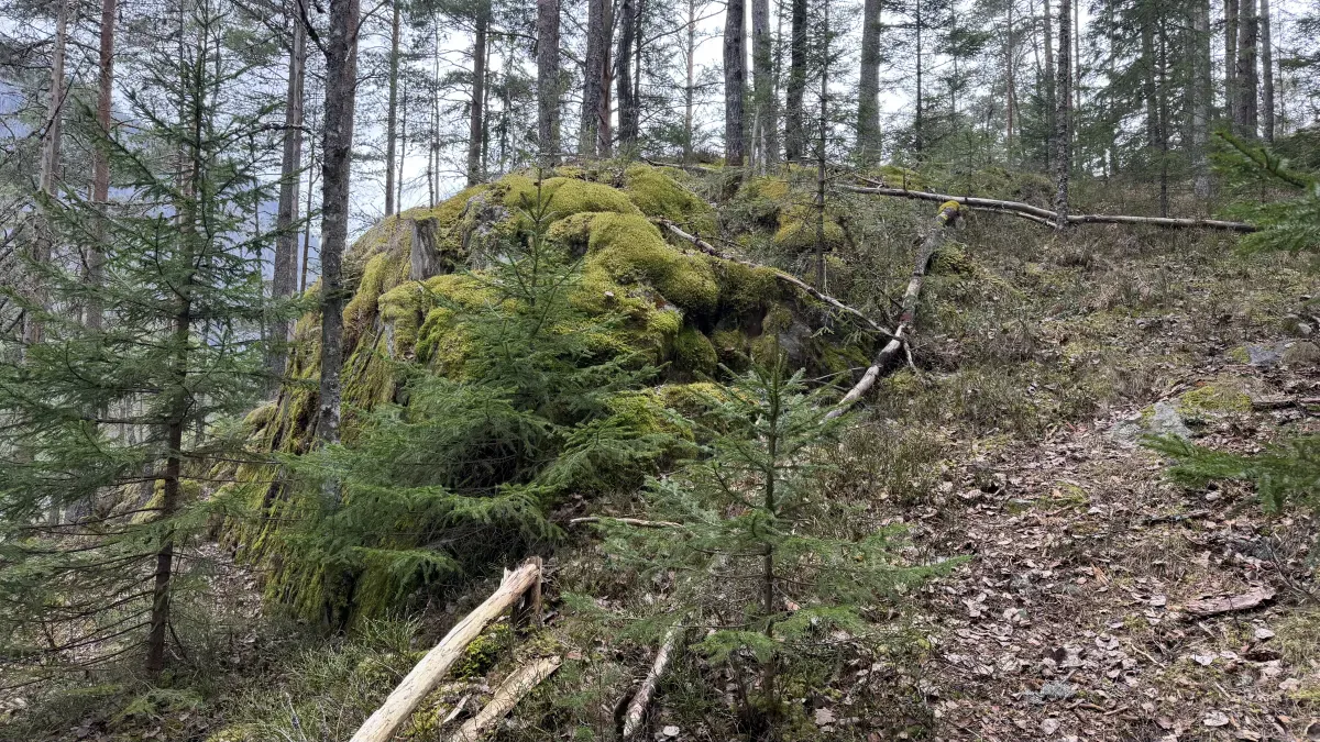
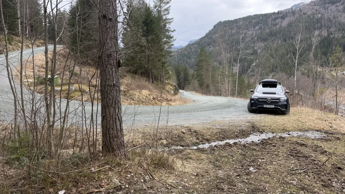
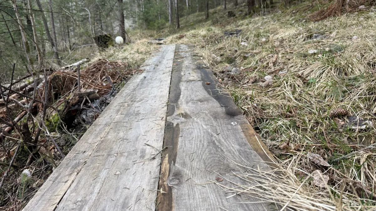
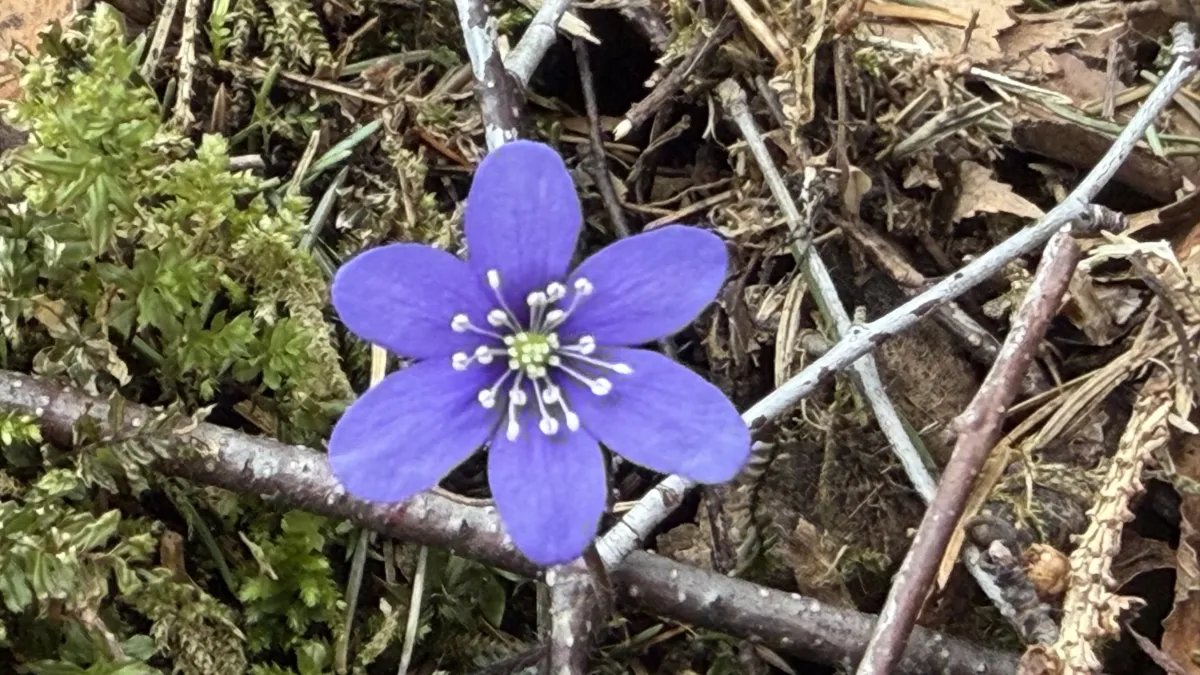
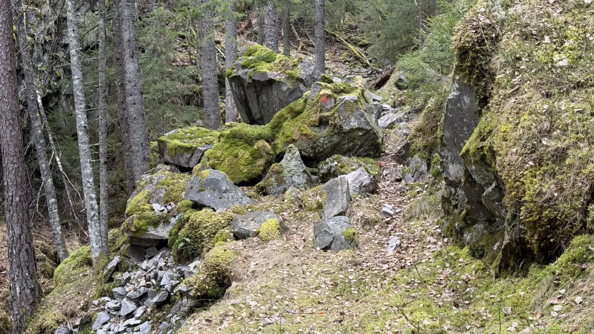
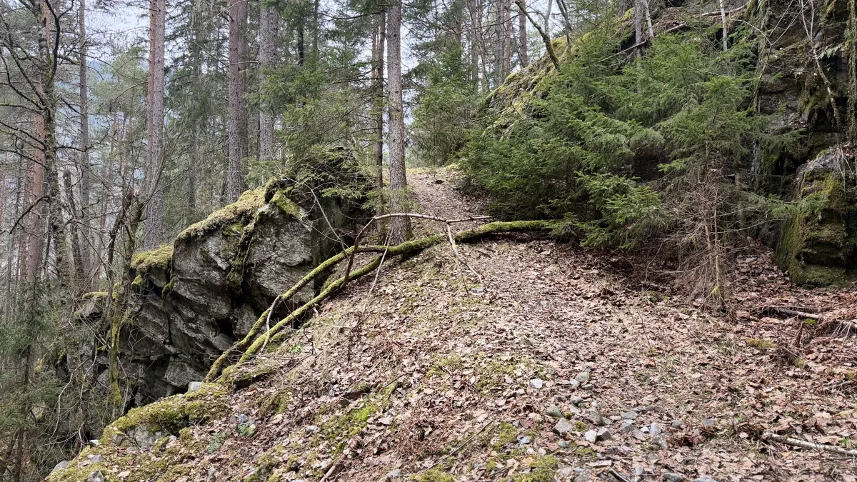
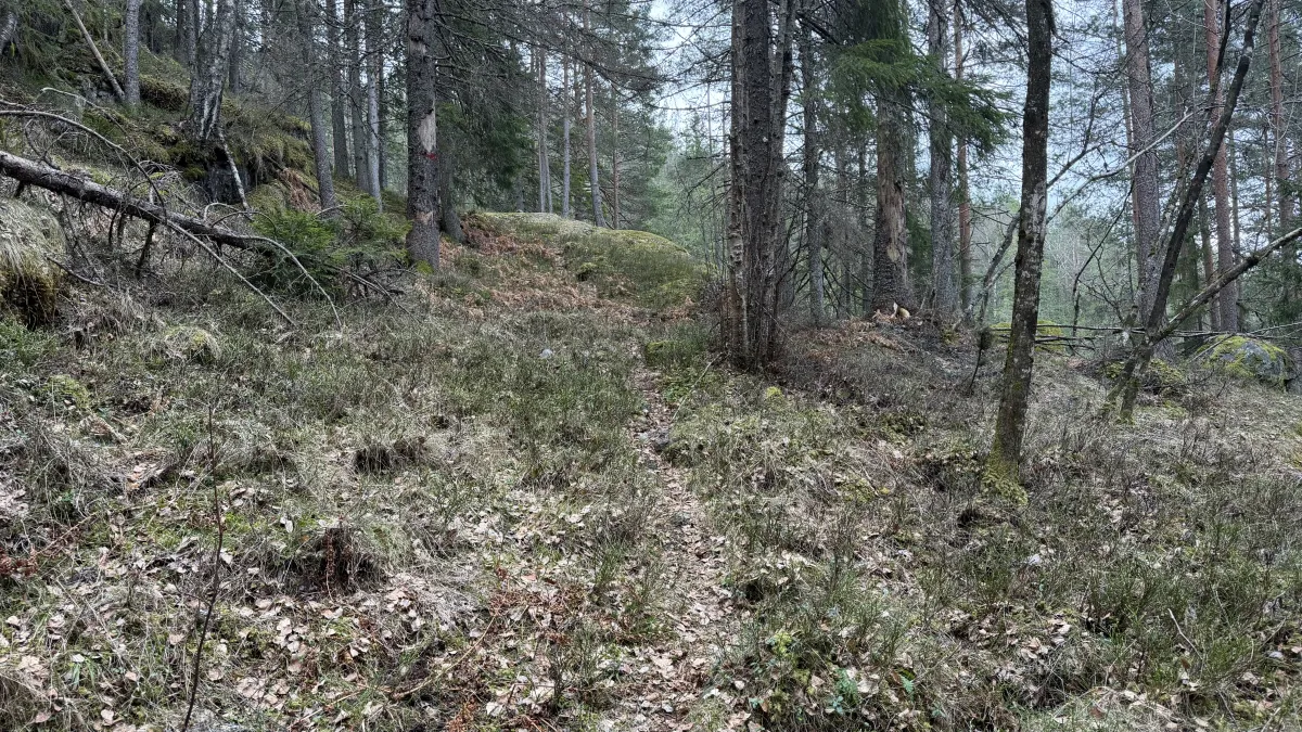
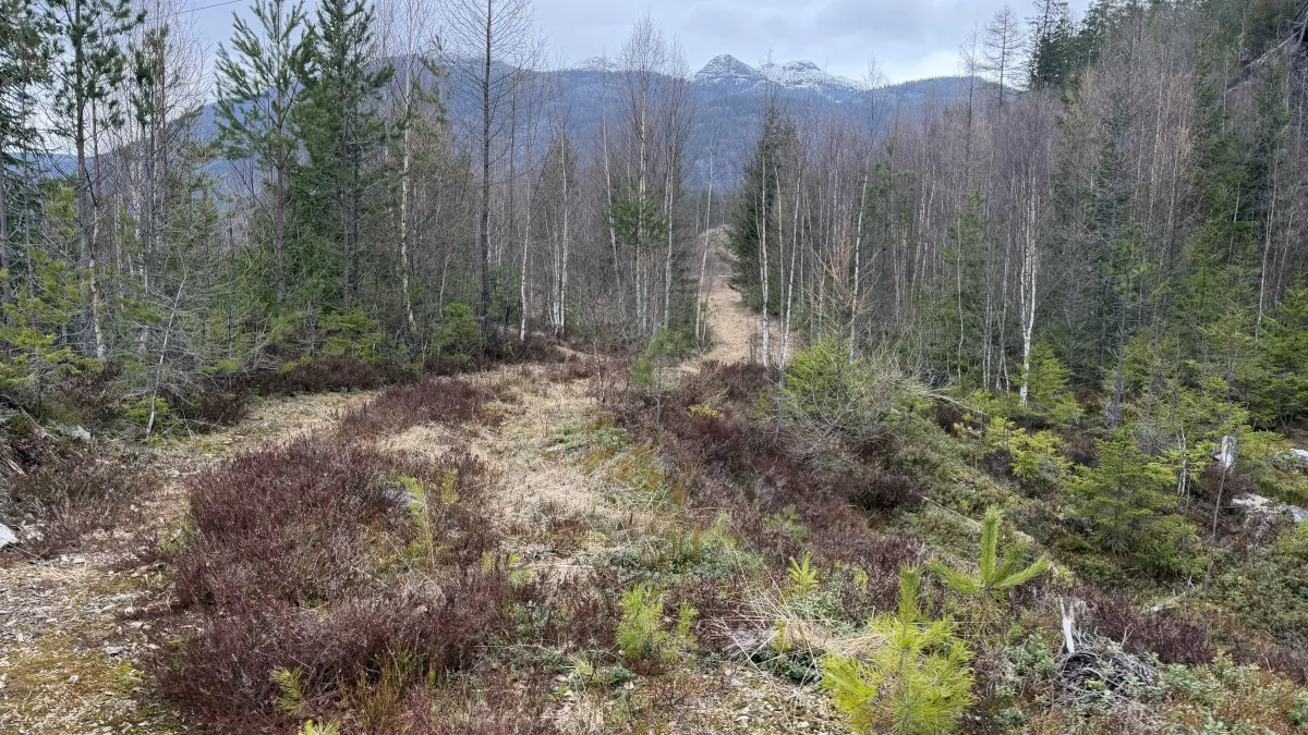
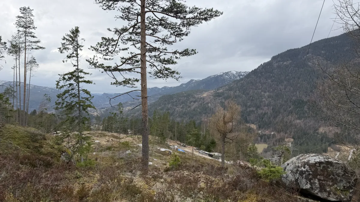
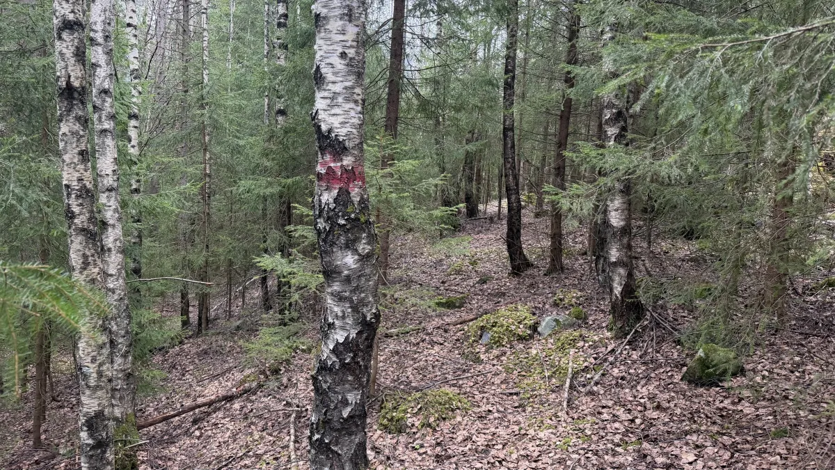
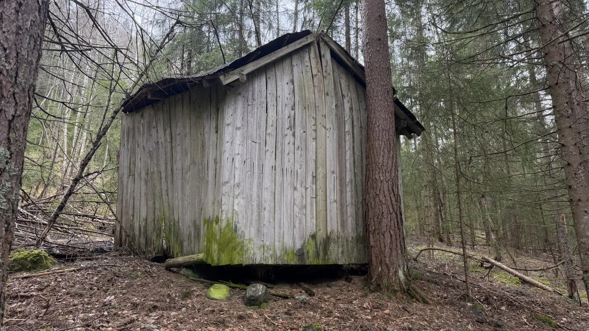
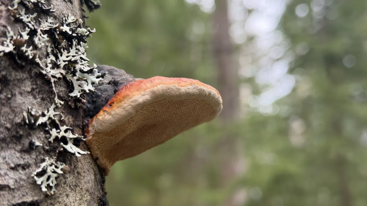
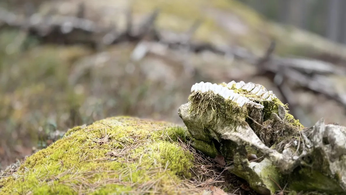
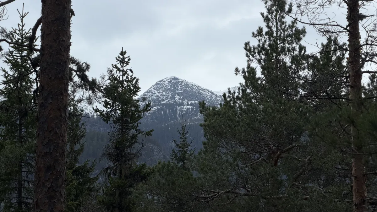
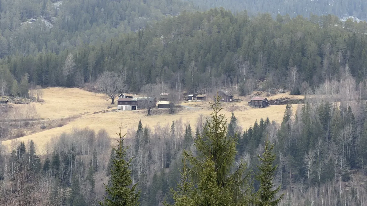
Lidgrendi. We have a great hiking trail from the first turn on Grunnnngsdalsvegen (after the barrier) and into the forest. First, over the logging field, then into the tussane. This is a beautiful forest area (above the Krokan shear) with old-growth forest and lots of dirt-covered rocks. The walk continues to Lid and you can turn off there and onto the road at the 4th bend on Grunnkngsdalsvegen. Or, you can follow the old paths above Lid (Loftsgarden) towards Borkeåi and up towards the Reinstaul parking lot (where the Bjørgefjell hike starts). The long hike is 7 km with 400 meters of ascent. 2 hours. The short one is just under 3 km. Both are equally nice. It's time for local hikes now. Soon they'll grow again.
Photos (16)
1 / 16
Practical info
- Direction
- tur-retur
- Season
- Summer
- Copyright
- © Fintur
- Photo
- Hans Inge Hagen
- Kjelde
- Hans Inge
Got any good trail tips?
Seljord
Telemark
fintur.no
Telemark
fintur.no