Lifjell 24-L1/2

Fee
The road or car park has a fee. Bring small change. Some take cards and Vipps.
Weather forecast
Hentar vêrdata…
Kjelde: Yr.no (Meteorologisk institutt)
About this hike
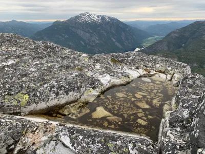
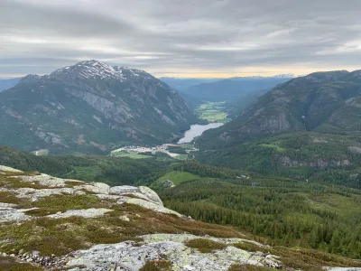
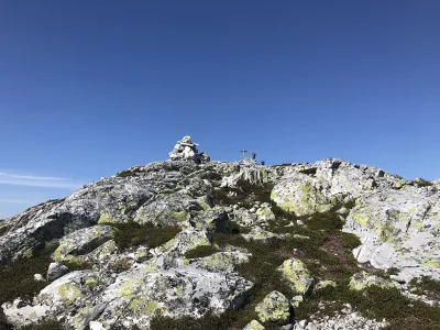
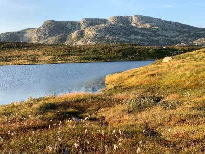
Lifjell at its best. The 33 hikers got to experience this today. "We've been waiting a long time for this organized tour. Last year we had to cancel due to rain. But, this year it worked out. Forest and mountain tour in the same package. A good wilderness trip, with good temperatures and rain-free skies. After all the rain in recent days, it was a bit wet in the section up towards the tree line. The hike went up Borkebudalen on the forest road there. Further on the path towards Mørkedalsnutane. Over to Fjøllstaul. There we had a snack break. 6 km. Further up over the mountain border and away between the lakes. Finally at the top of Lifjell 1212. The highest point on the trip. Then I went down to Skålbustaulen and the road down via Fisbu to Veslestaul. Total length 15 km with 850 vertical meters. We spent around 6.5 hours. Many thanks for the trip to everyone. Tor Lønnestad and Halvor Gåra from Bø Turlag are great to arrange a trip with!
Practical info
- Direction
- enveis
- Season
- Summer
- Trail quality
- 3/5
- Solitude
- 5/5
Got any good trail tips?
Seljord
Telemark
fintur.no
Telemark
fintur.no