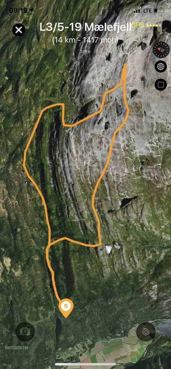
Mælefjell 19-L3/5

Boom wall
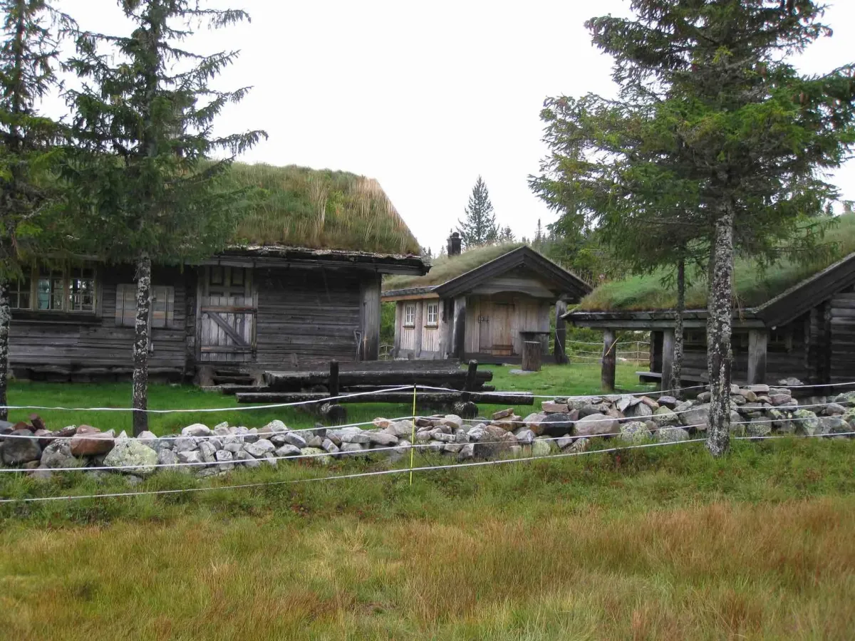
The road has a barrier and you need to get the key to the barrier from the road team.
Weather forecast
Hentar vêrdata…
Kjelde: Yr.no (Meteorologisk institutt)
Map and route
S Start
M Finish
▲ Highest point
▼ Lowest point
km Main route
↕ m Elevation
About this hike
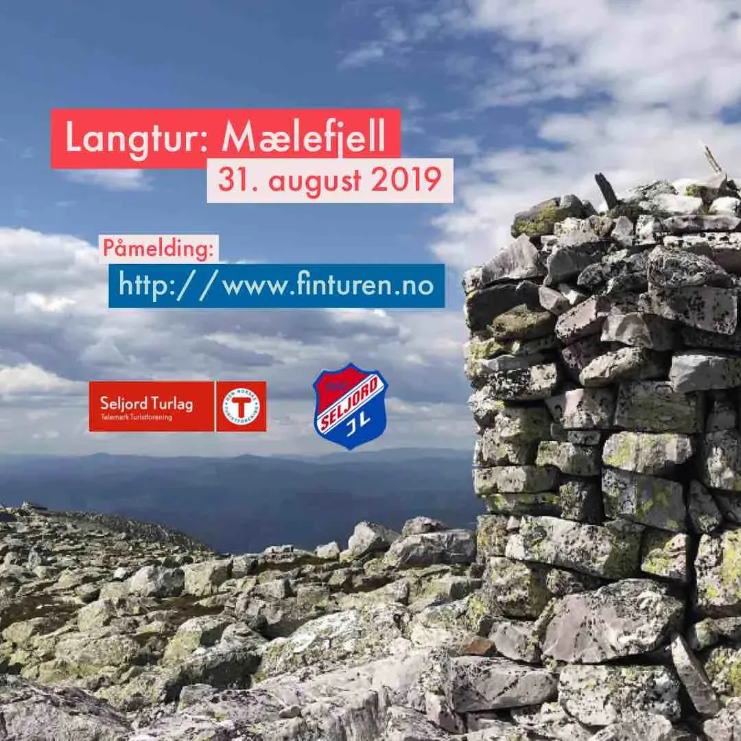
Langtur: Mælefjell
Date: August 31, 2019
Departure: Granvin kulturhus at 08:00
Description of the tour:
The tour starts from the second barrier at Langribbe, on the road up towards Sudbø-Mælestaul. Note: the first gate at Natadal is locked, but this will be unlocked for the tour.
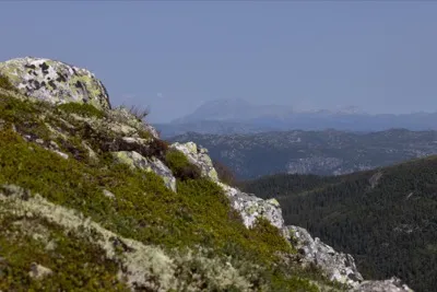
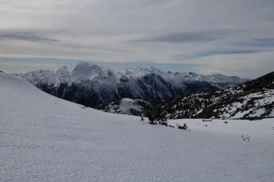
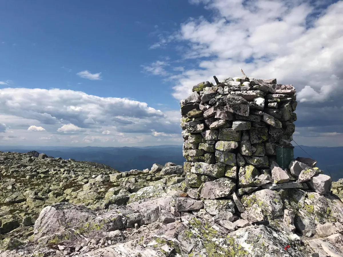
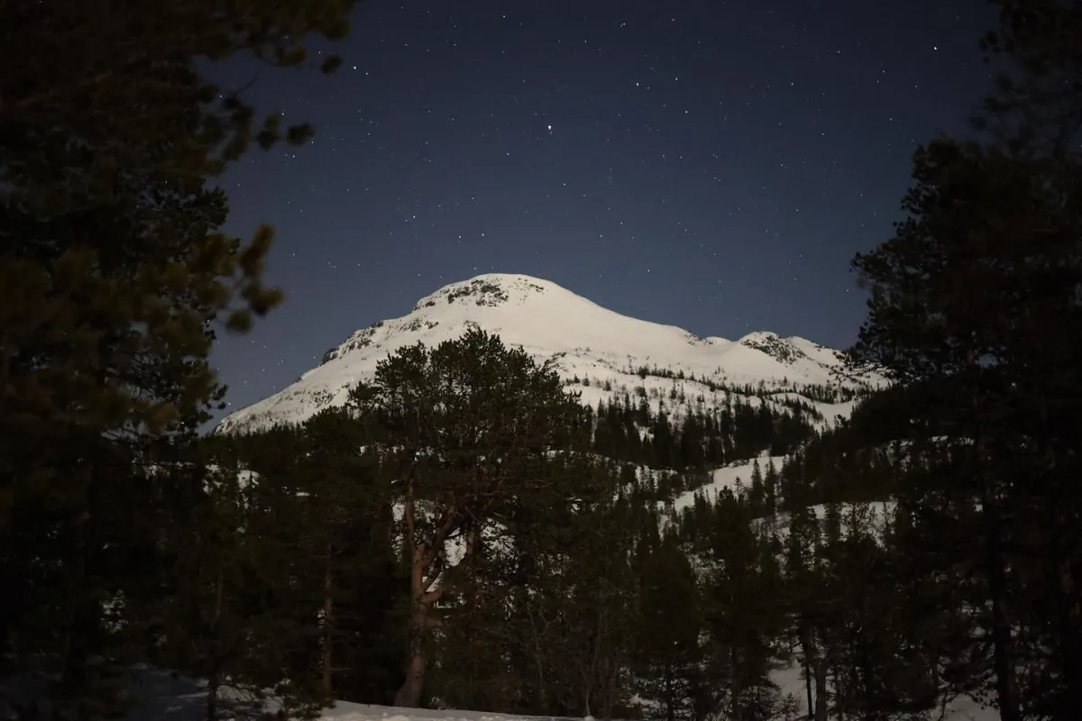
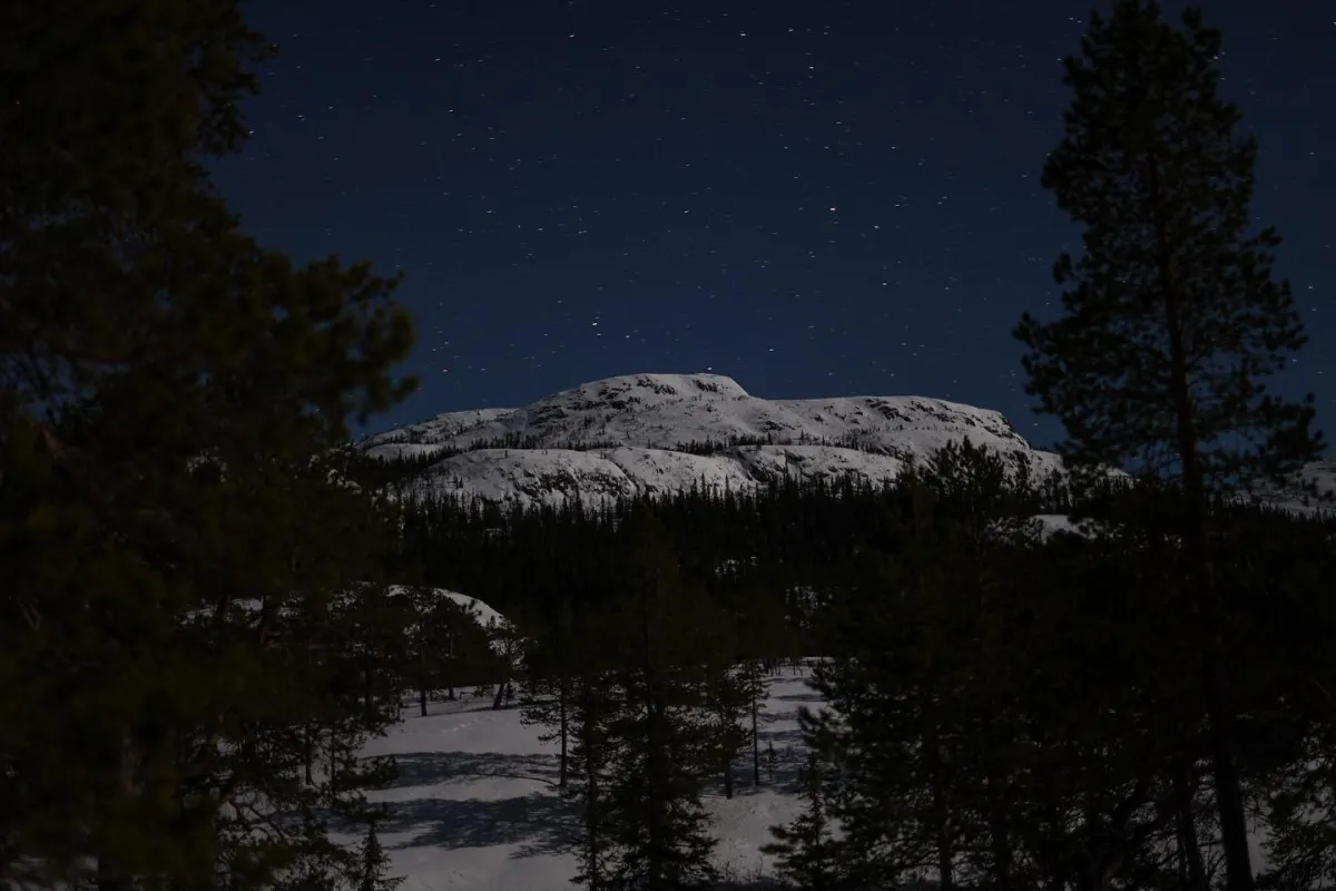
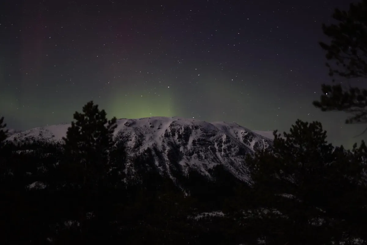
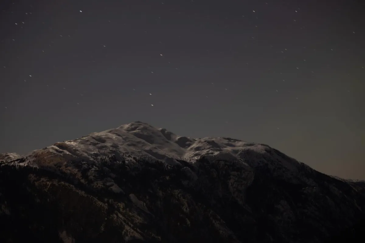
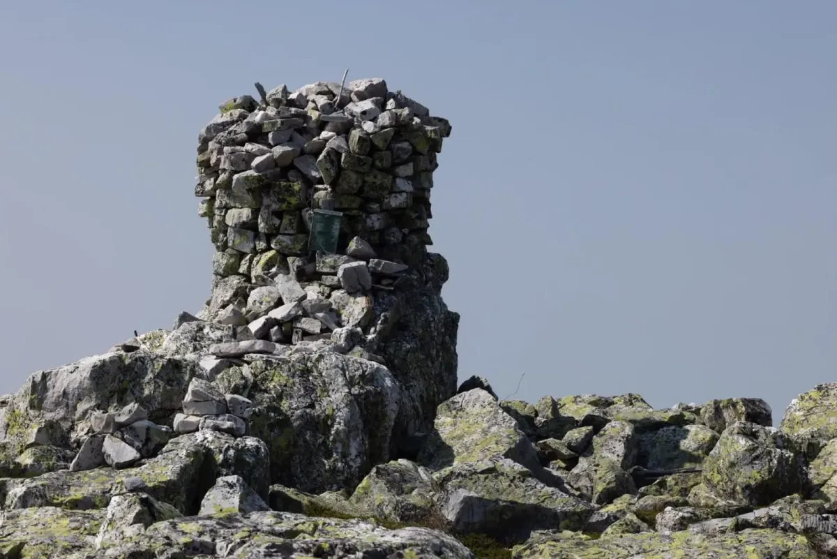
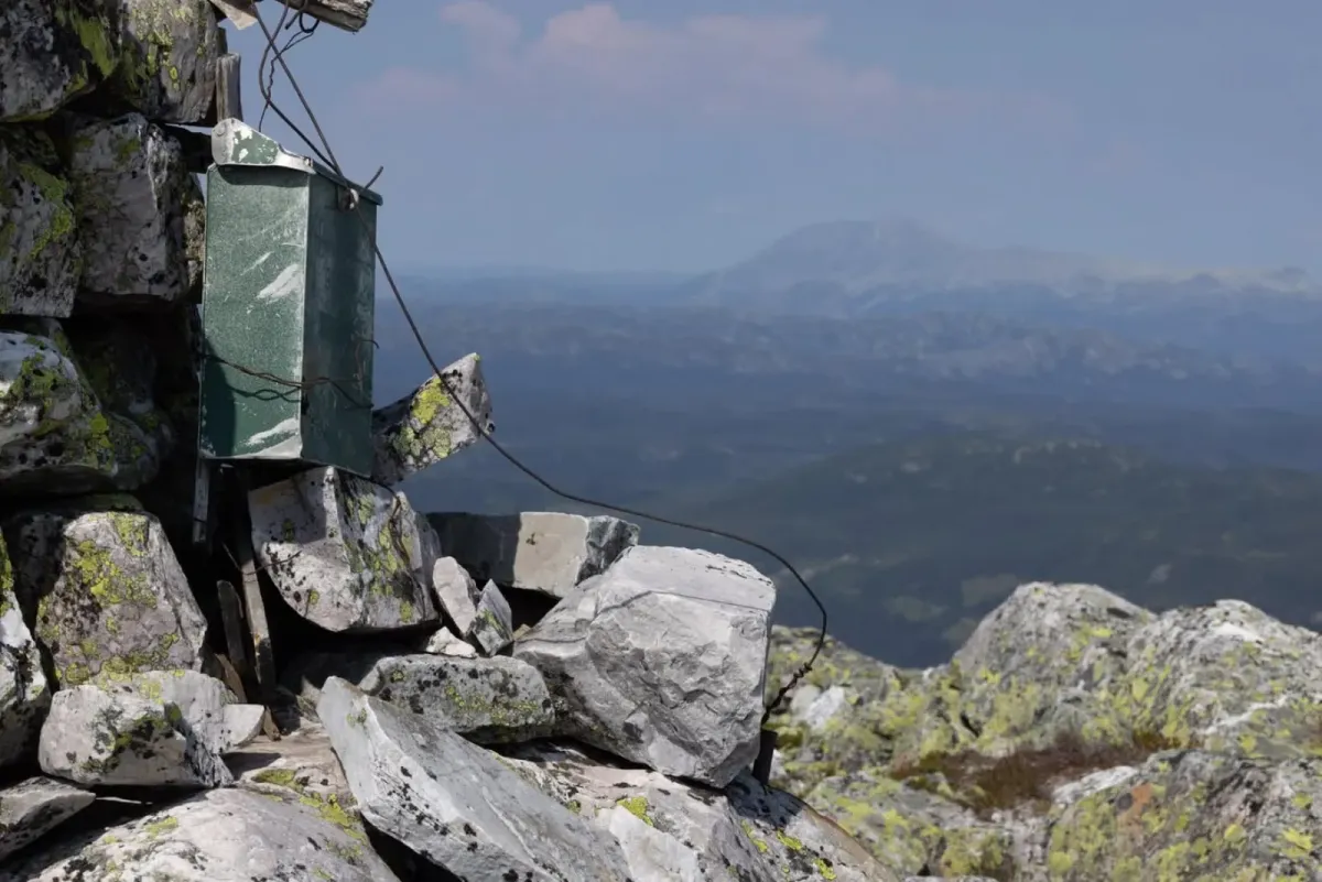
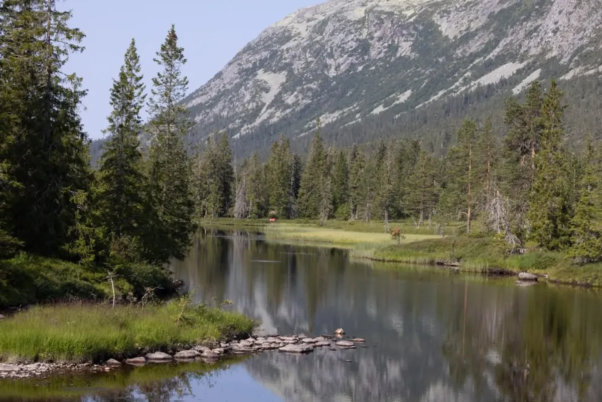
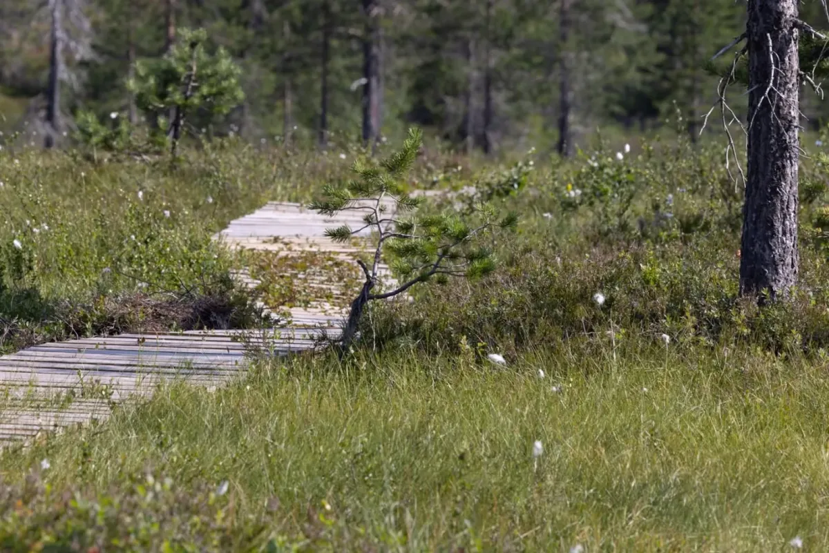
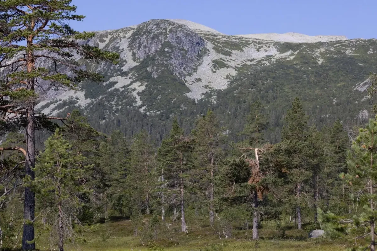
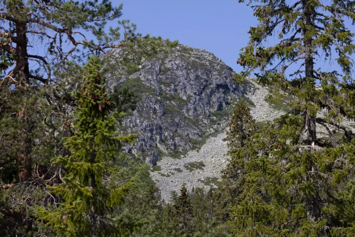
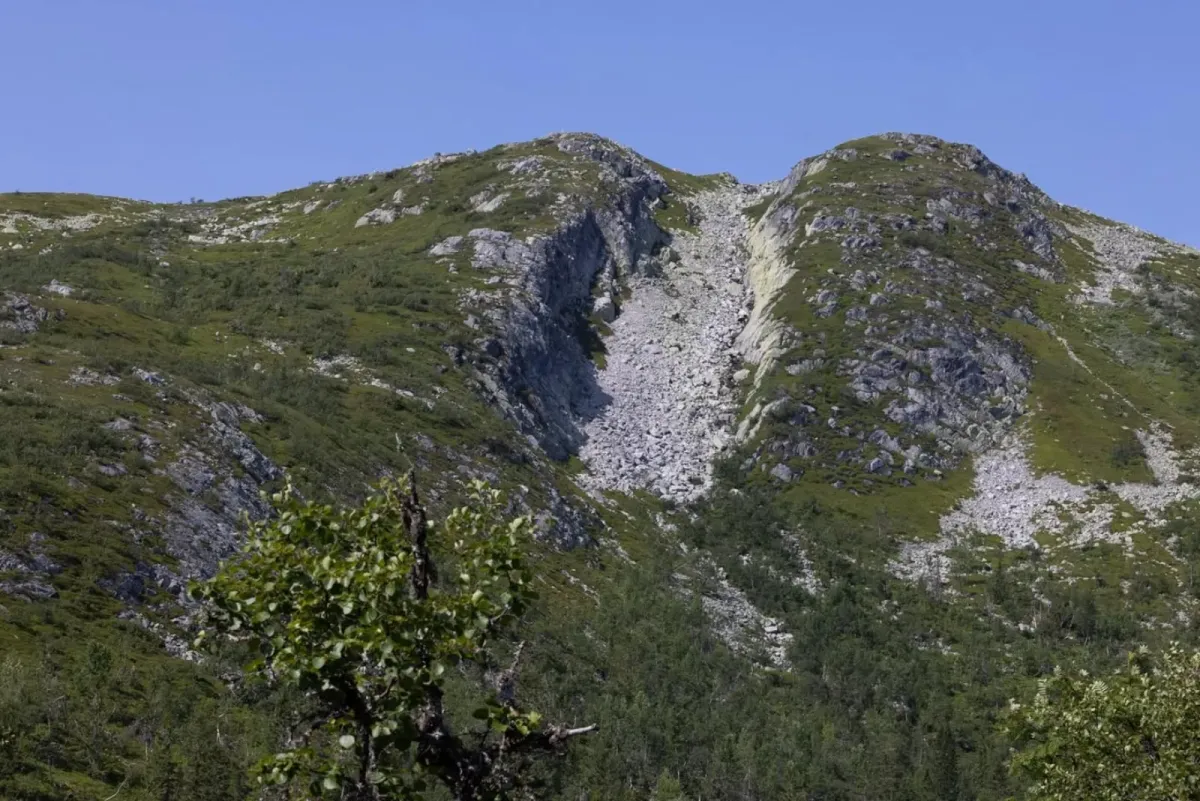
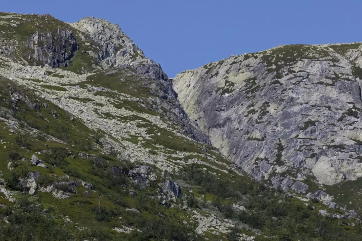
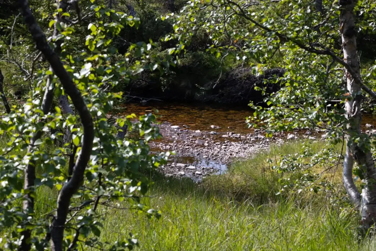
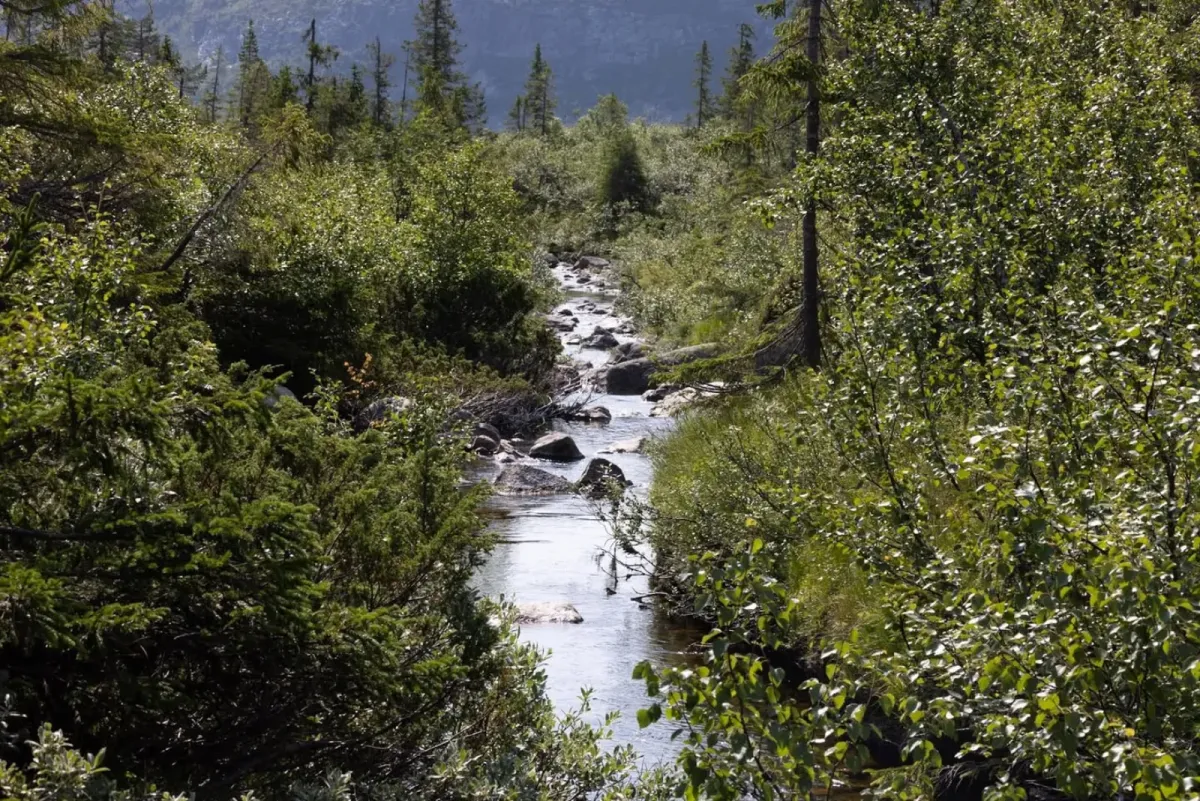
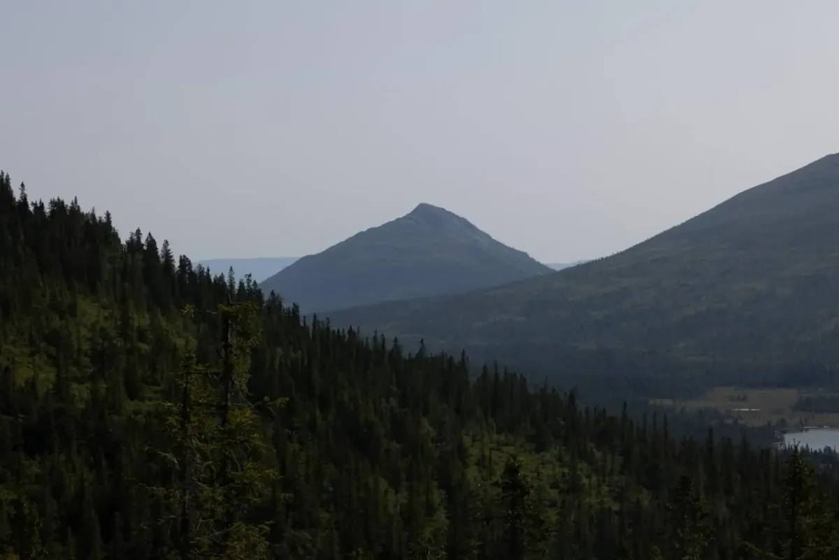
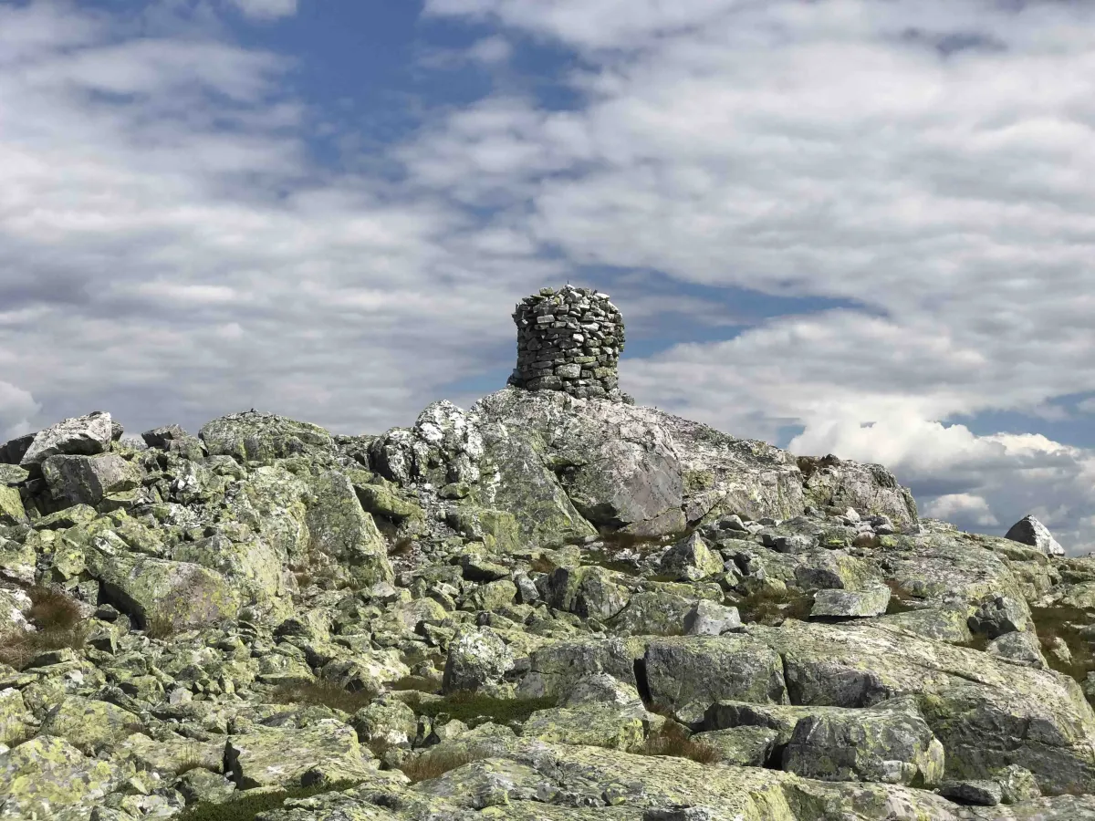
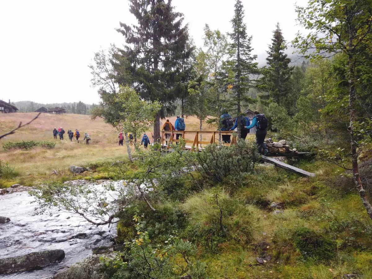
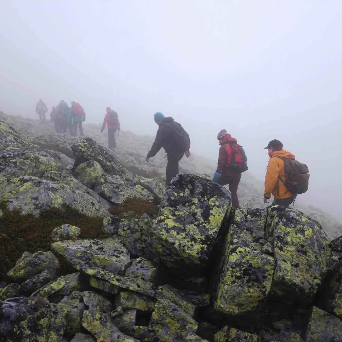
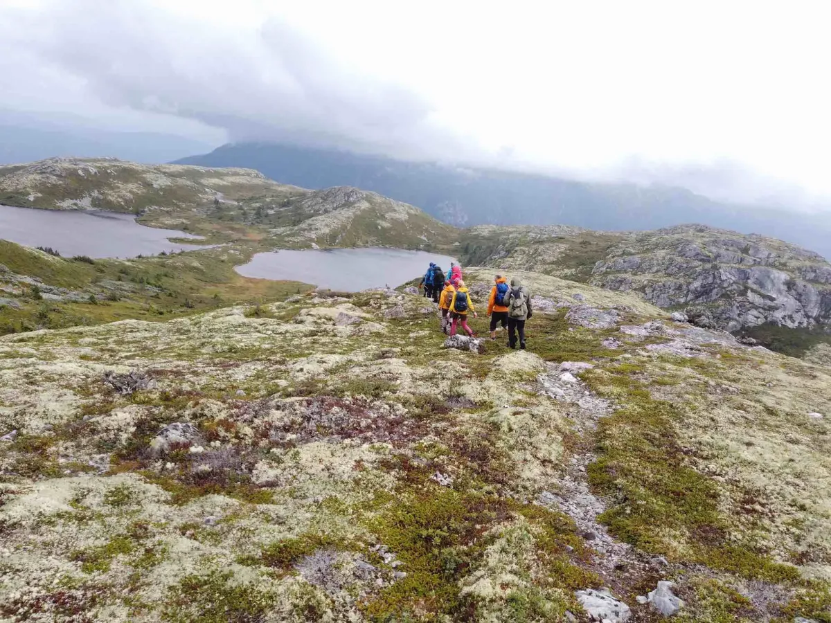
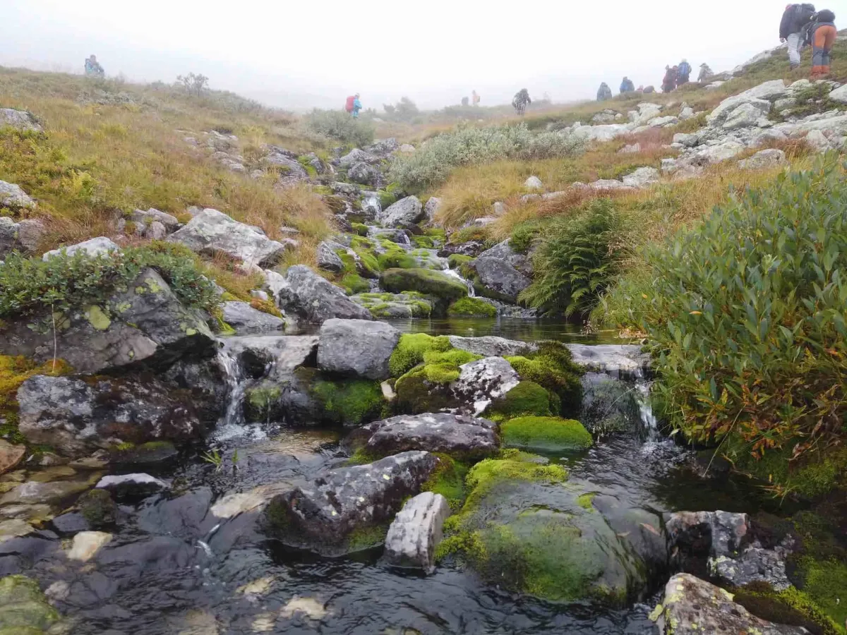
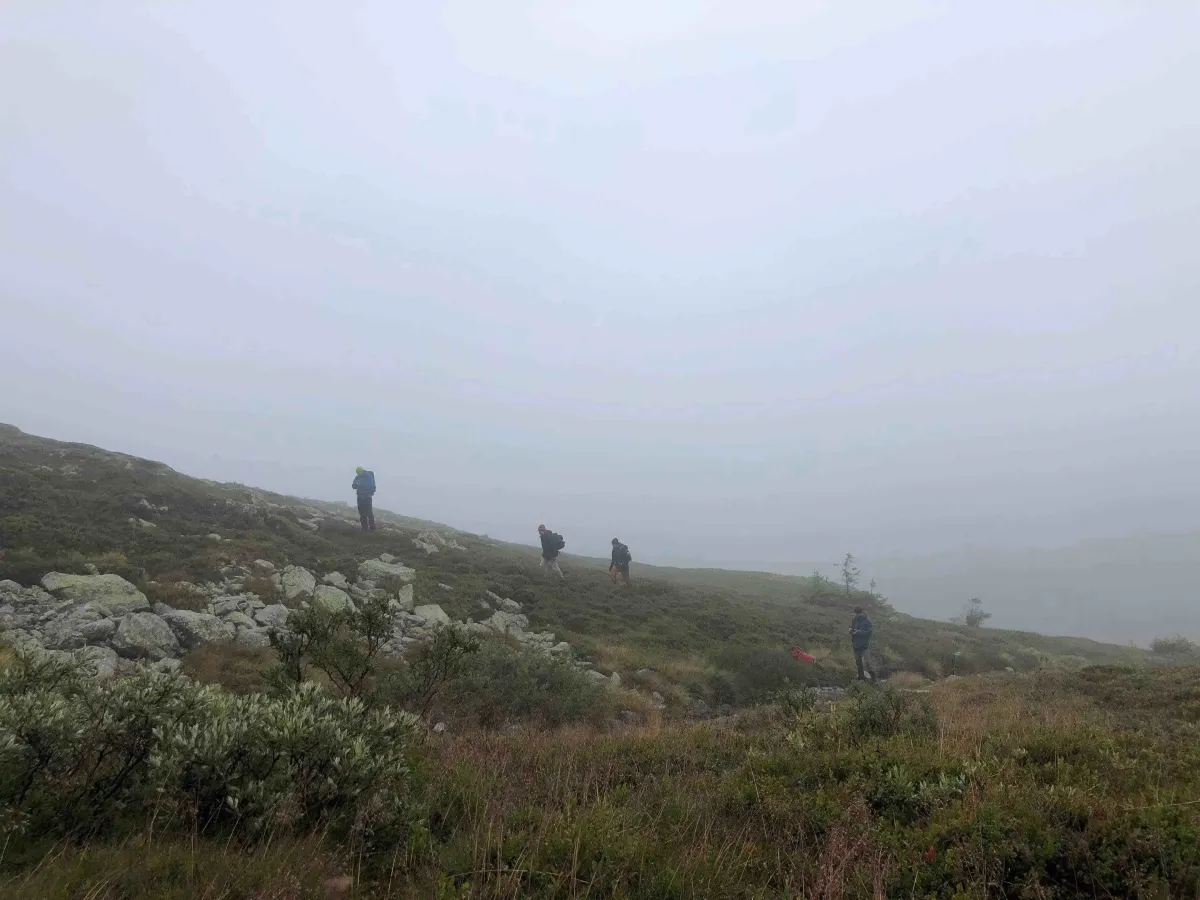
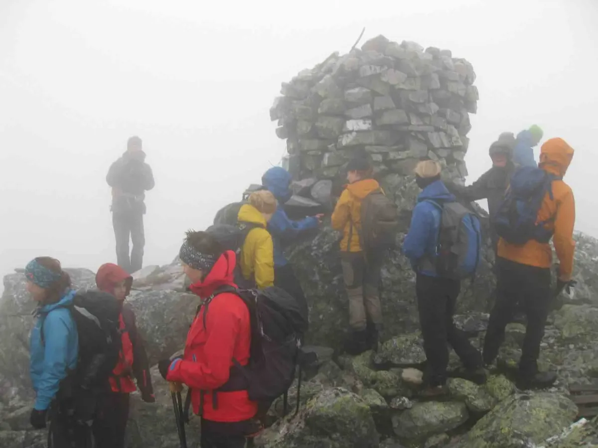
The aim is to combine forest trail and bare rock. The top of Mælefjell is 1417 meters above sea level, making it the second highest mountain in Seljord. The mountain is located in Flatdal, with the summit at the very back, towards Londalen and Hjartdal.
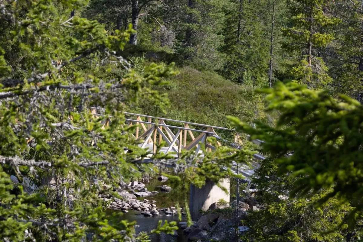
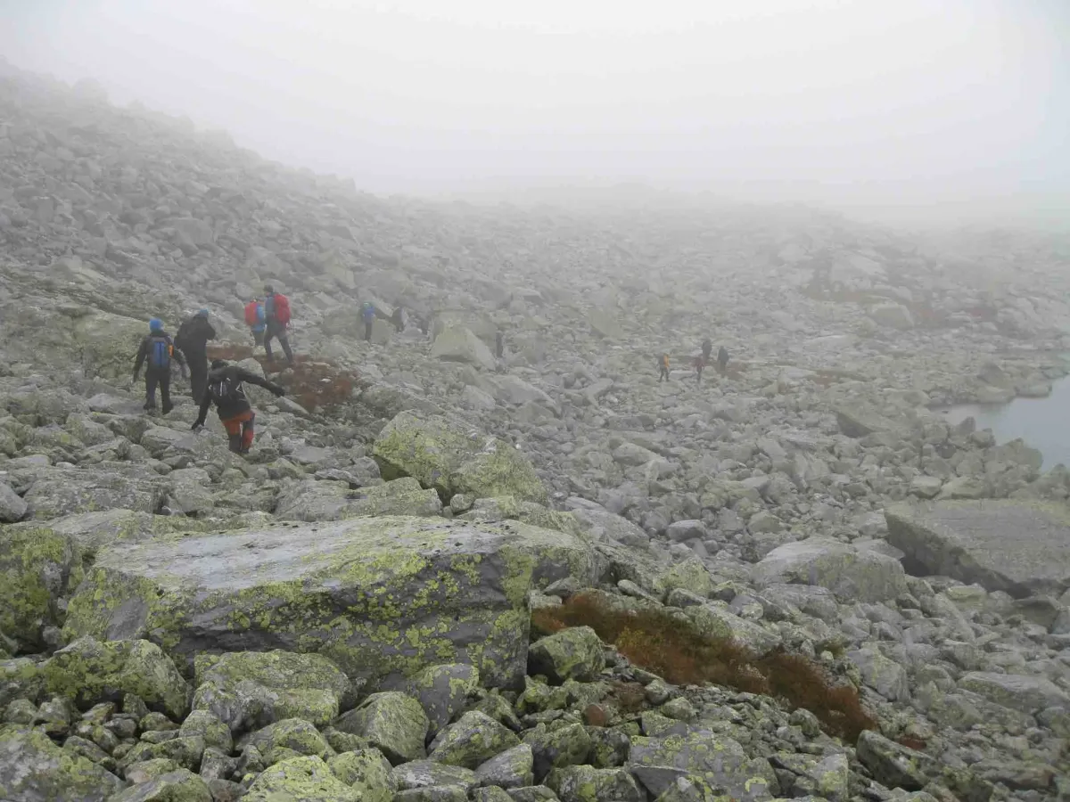
The ascent is via the rear Mælestaul, up Gunnegrov and on towards the summit. The descent goes down Rupedalen, via Rusttjønnan and down Tjønnskaret, before returning to the parking lot.
Familiar face: Kolbjørn Birkrem
Organizer: Hans Inge Hagen
Who is the trip suitable for?
The tour is suitable for adults over the age of 16. Children from the age of 13 can come along with adults. The tour is demanding and long, so participants should be in good physical shape.
Conditions for participation:
1. all participation is at your own risk
2. participants should have valid travel insurance
3. the trip may be canceled in the event of heavy rain, thick fog or if the guide becomes ill
4. in case of cancellation, send an e-mail to hansingehagen@me.com
Distance: Approx. 14 km
Expected time spent: 6-7 hours
Equipment and preparation
In the backpack:
Plenty of food and drink
Mobile phone charger
Band-aids and first aid kit
On your body:
Dress for the conditions
Bring a windproof jacket, extra dry t-shirt and socks
Be prepared for changing weather
On your feet:
Wear broken-in hiking boots and good socks
This is a long and rocky hike - footwear is important
Tour map:
See maps in the Fintur app
Download Fintur for iPhone/iPad or Android
Date: August 31, 2019
Departure: Granvin kulturhus at 08:00
Description of the tour:
The tour starts from the second barrier at Langribbe, on the road up towards Sudbø-Mælestaul. Note: the first gate at Natadal is locked, but this will be unlocked for the tour.
The aim is to combine forest trail and bare rock. The top of Mælefjell is 1417 meters above sea level, making it the second highest mountain in Seljord. The mountain is located in Flatdal, with the summit at the very back, towards Londalen and Hjartdal.
The ascent is via the rear Mælestaul, up Gunnegrov and on towards the summit. The descent goes down Rupedalen, via Rusttjønnan and down Tjønnskaret, before returning to the parking lot.
Familiar face: Kolbjørn Birkrem
Organizer: Hans Inge Hagen
Who is the trip suitable for?
The tour is suitable for adults over the age of 16. Children from the age of 13 can come along with adults. The tour is demanding and long, so participants should be in good physical shape.
Conditions for participation:
1. all participation is at your own risk
2. participants should have valid travel insurance
3. the trip may be canceled in the event of heavy rain, thick fog or if the guide becomes ill
4. in case of cancellation, send an e-mail to hansingehagen@me.com
Distance: Approx. 14 km
Expected time spent: 6-7 hours
Equipment and preparation
In the backpack:
Plenty of food and drink
Mobile phone charger
Band-aids and first aid kit
On your body:
Dress for the conditions
Bring a windproof jacket, extra dry t-shirt and socks
Be prepared for changing weather
On your feet:
Wear broken-in hiking boots and good socks
This is a long and rocky hike - footwear is important
Tour map:
See maps in the Fintur app
Download Fintur for iPhone/iPad or Android
Photos (24)
1 / 24

Videos (1)
L3/5-19 Mælefjell
User photos (12)
1 / 12
Practical info
- Direction
- tur-retur
- Season
- Summer
- Trail quality
- 2/5
- Solitude
- 5/5
Got any good trail tips?
Flatdal
Telemark
fintur.no
Telemark
fintur.no