Manheim
Weather forecast
Hentar vêrdata…
Kjelde: Yr.no (Meteorologisk institutt)
Map and route
S Start
M Finish
▲ Highest point
▼ Lowest point
km Main route
↕ m Elevation
About this hike
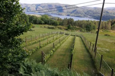
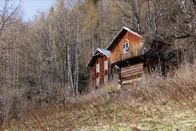
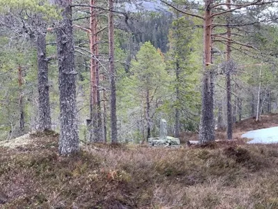
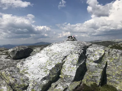
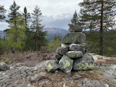
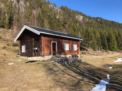
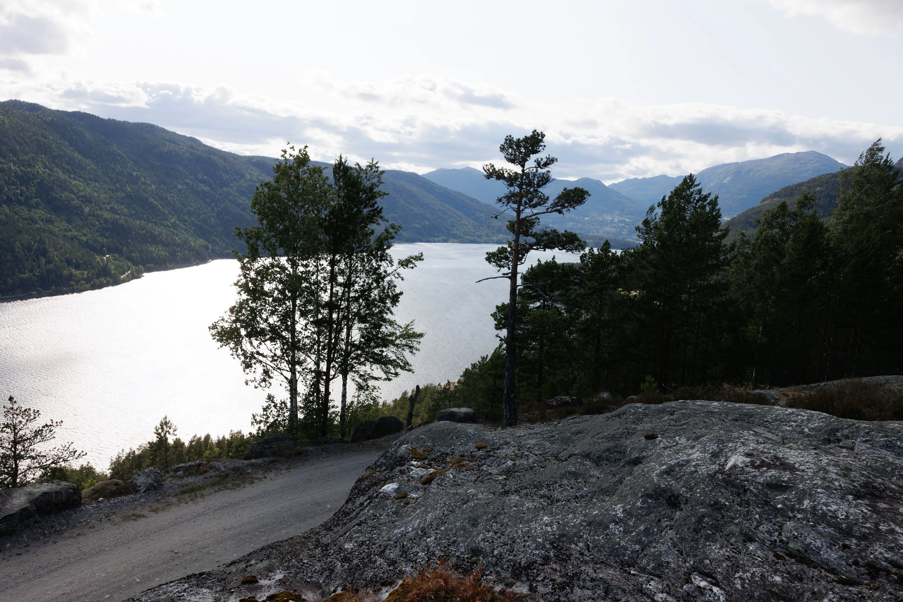
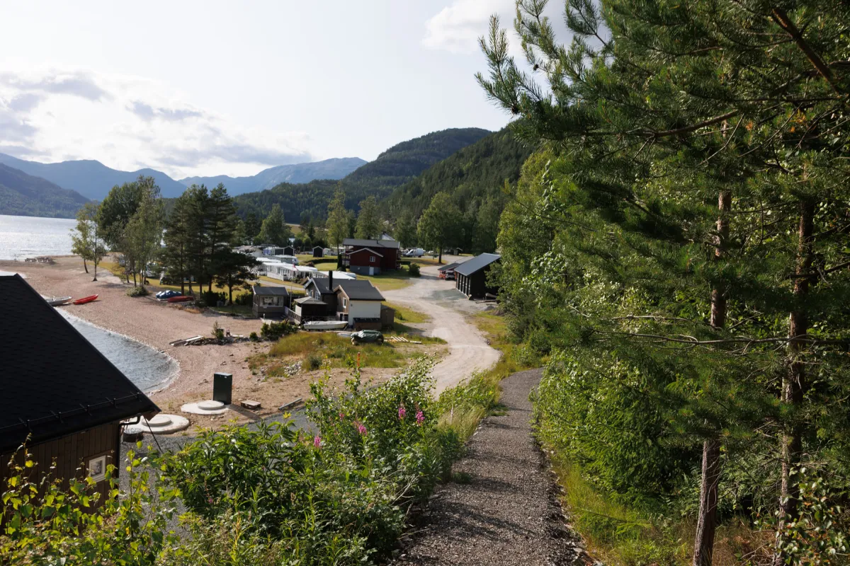
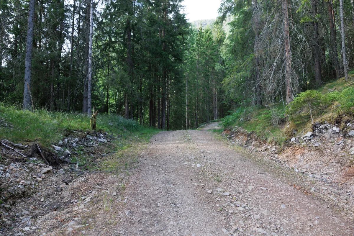
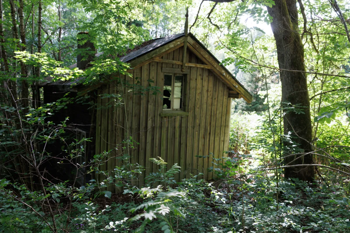
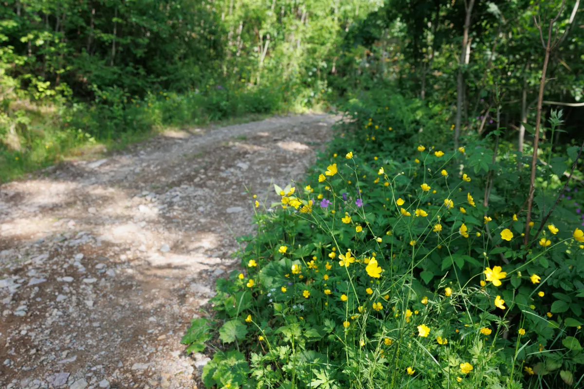
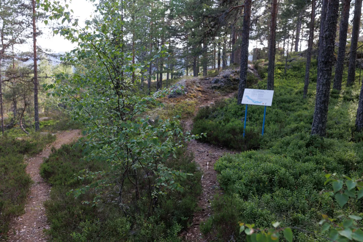
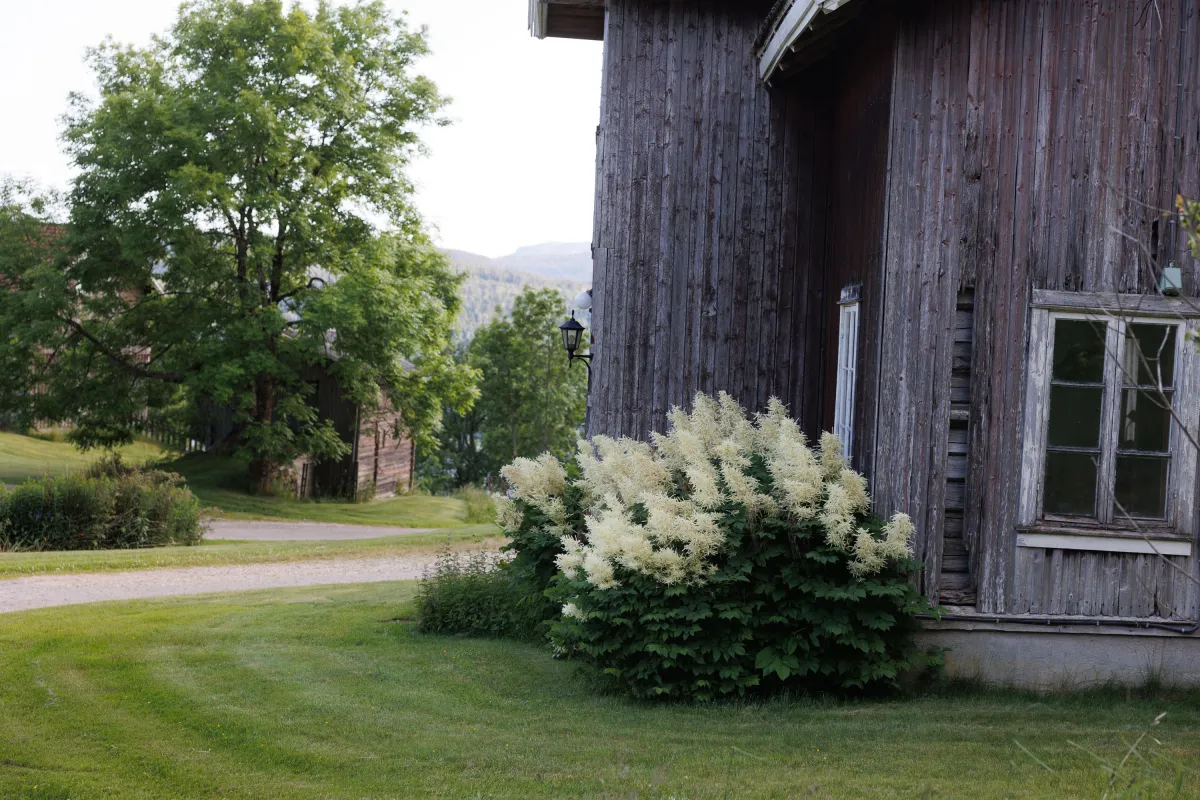
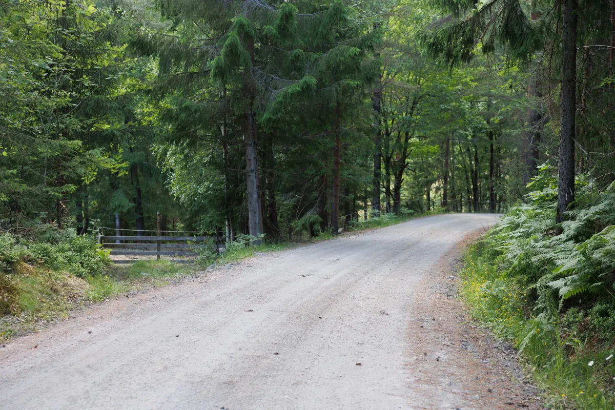
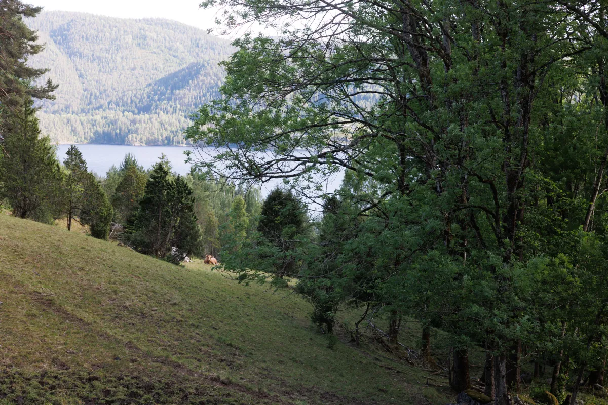
Outside Sanden Camping, there is a great hiking trail up the hillside towards Manheim. It's steep and pulsating on the way up along the tractor road to Kåsi and on to the sawmill at Manheim. Then you enter a beautiful farming landscape. Flowers and freshly mown fields at Strånd. Cows on pasture and green plants in a row. A fantastic hiking trail that follows a gravel road the whole way round. A total of 5 km round trip. With 230 heavy height meters to work with. Down at Riksveg 36, cross over at the bus stop and follow the path back to Sanden Camping. A good hike for campers and locals who have not yet discovered this area.
Photos (10)
1 / 10

Practical info
- Direction
- rundtur
- Season
- Summer
- Trail quality
- 4/5
- Solitude
- 4/5
Got any good trail tips?
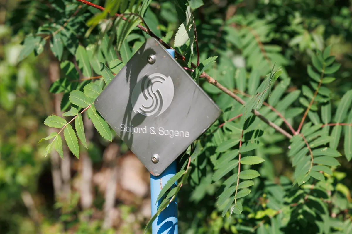
Seljord
Telemark
fintur.no
Telemark
fintur.no