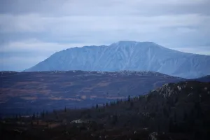
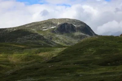
Marigrøi
Fee
The road or car park has a fee. Bring small change. Some take cards and Vipps.
Weather forecast
Hentar vêrdata…
Kjelde: Yr.no (Meteorologisk institutt)
Map and route
S Start
M Finish
▲ Highest point
▼ Lowest point
km Main route
↕ m Elevation
About this hike
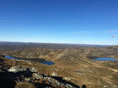
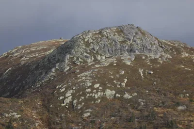
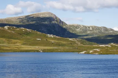
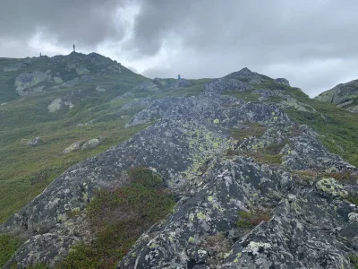
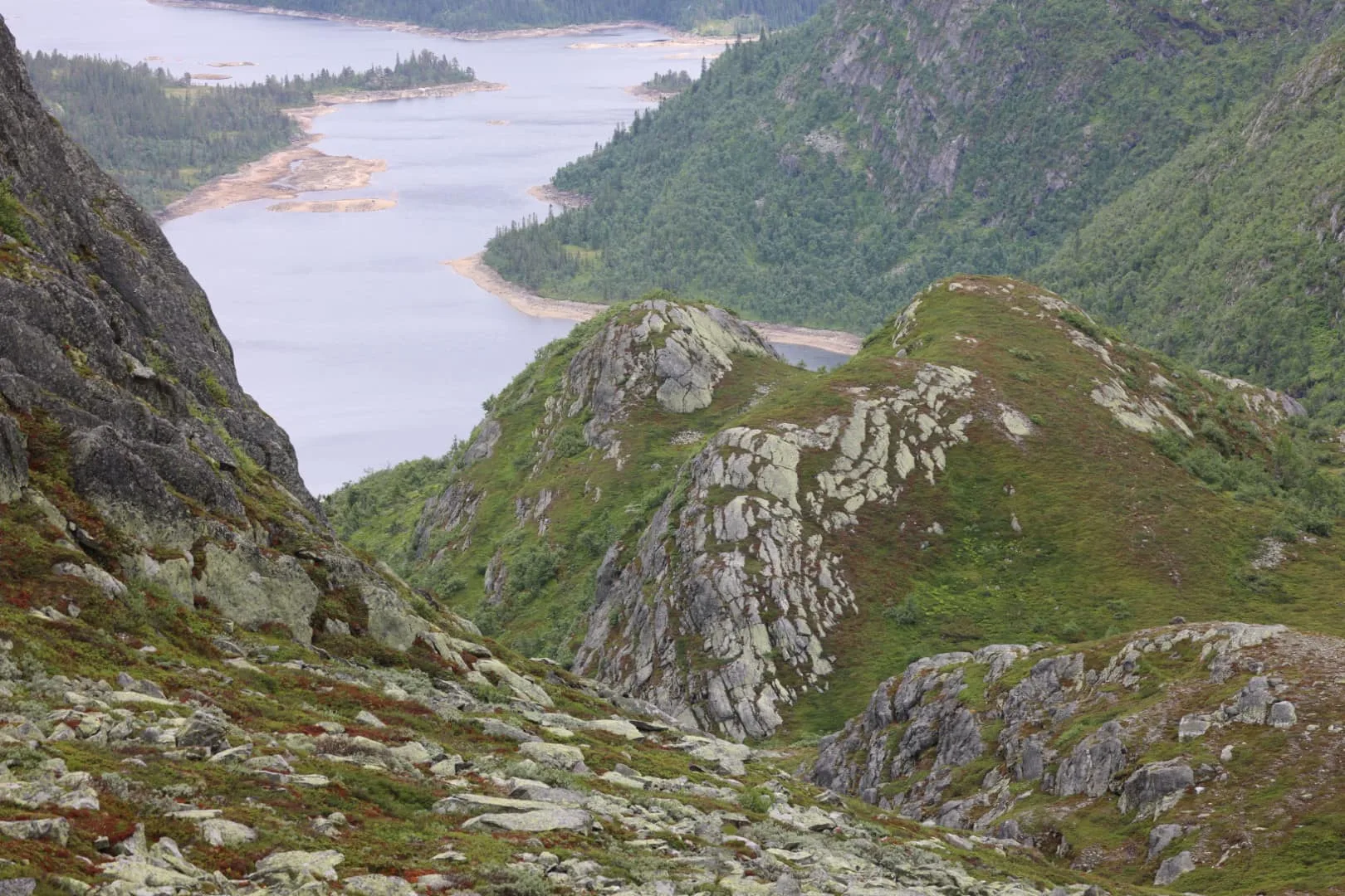
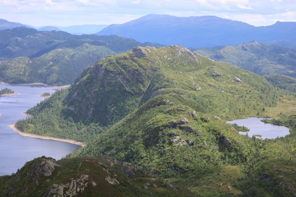
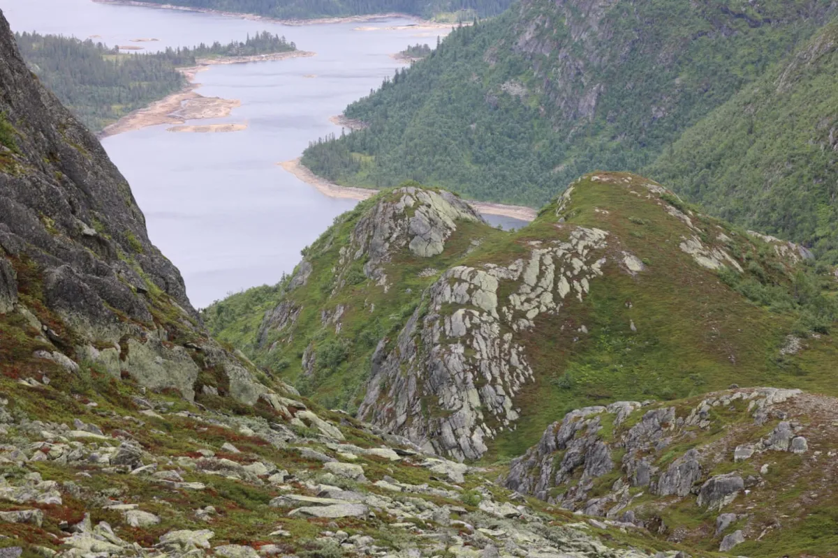
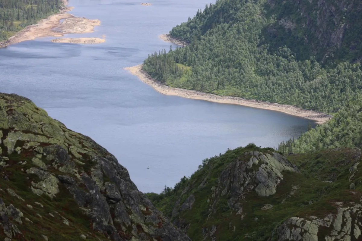
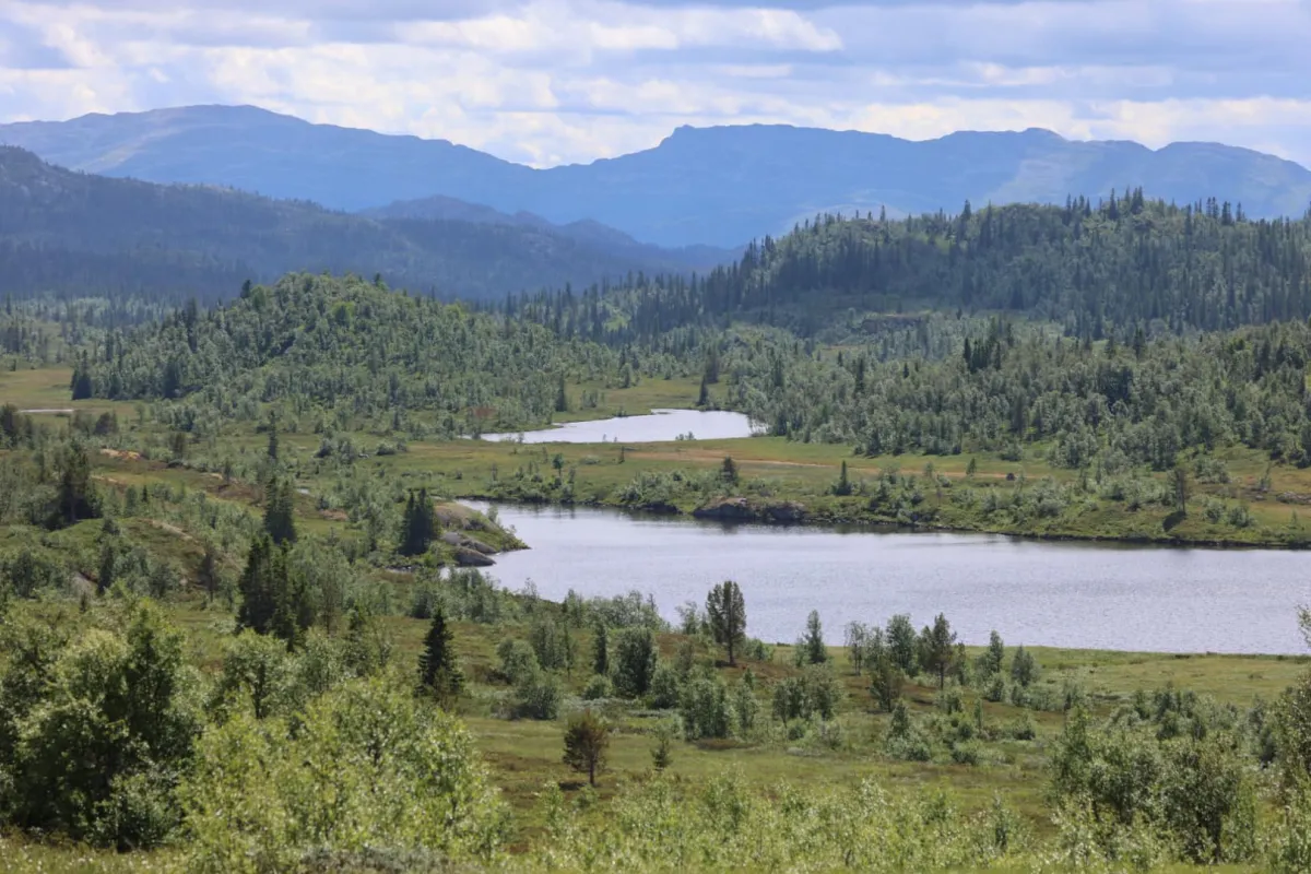
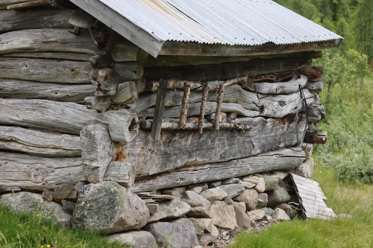
Marigrønutan (1248 m) is located in one of the most beautiful natural gems in Seljord. Up in the Brattefjell conservation area there are so many fantastic places. Plains, peaks and valleys. Green carpet landscapes and panoramic views. We took the trip from Småtjønn and went via Morgestaul to Venhaug and on to Svain. From there, up to Marigrøi and down the gorge towards Skjesvatn and the west side of Vålånuten to Smørbrekk. The trip was 20 km with 720 vertical meters. 5 hours walking time.
Photos (6)
1 / 6
Practical info
- Direction
- enveis
- Season
- Summer
- Trail quality
- 4/5
- Solitude
- 5/5
Got any good trail tips?
Svartdal
Telemark
fintur.no
Telemark
fintur.no