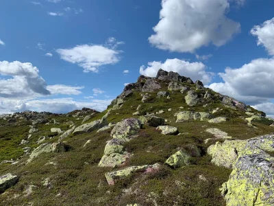
Nystaulnuten
Car park
Boarding and alighting. No public car park by the road.
Weather forecast
Hentar vêrdata…
Kjelde: Yr.no (Meteorologisk institutt)
Map and route
S Start
M Finish
▲ Highest point
▼ Lowest point
km Main route
km Alternativ rute
↕ m Elevation
About this hike
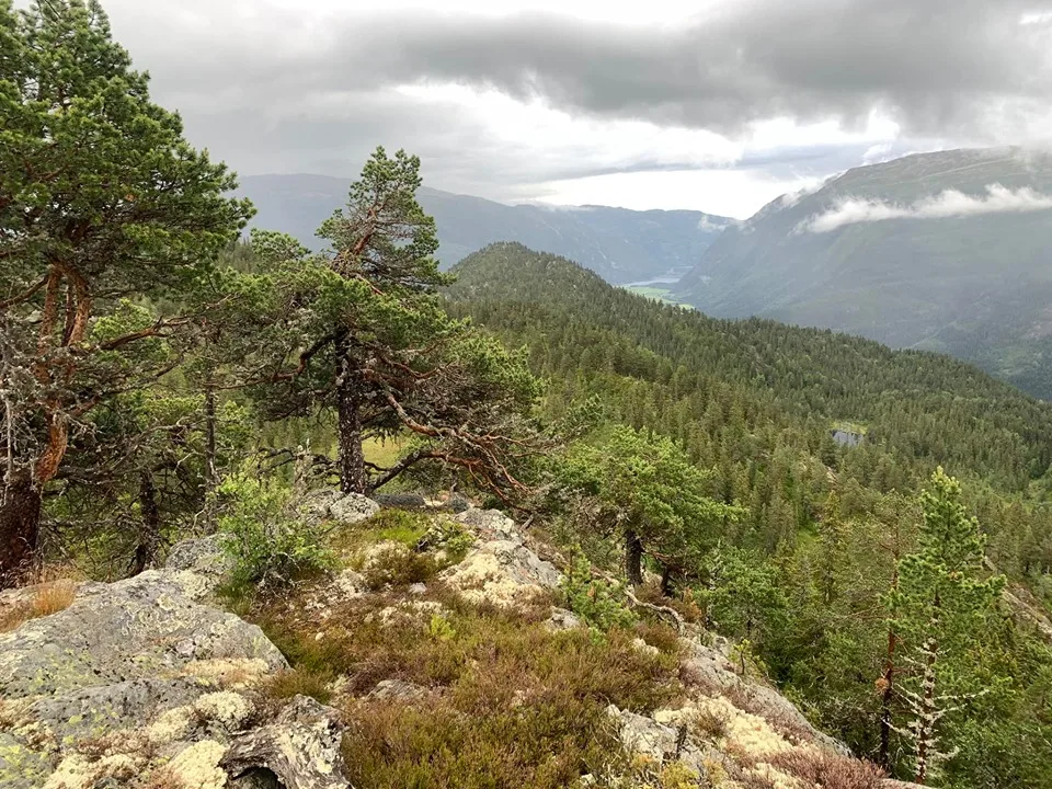
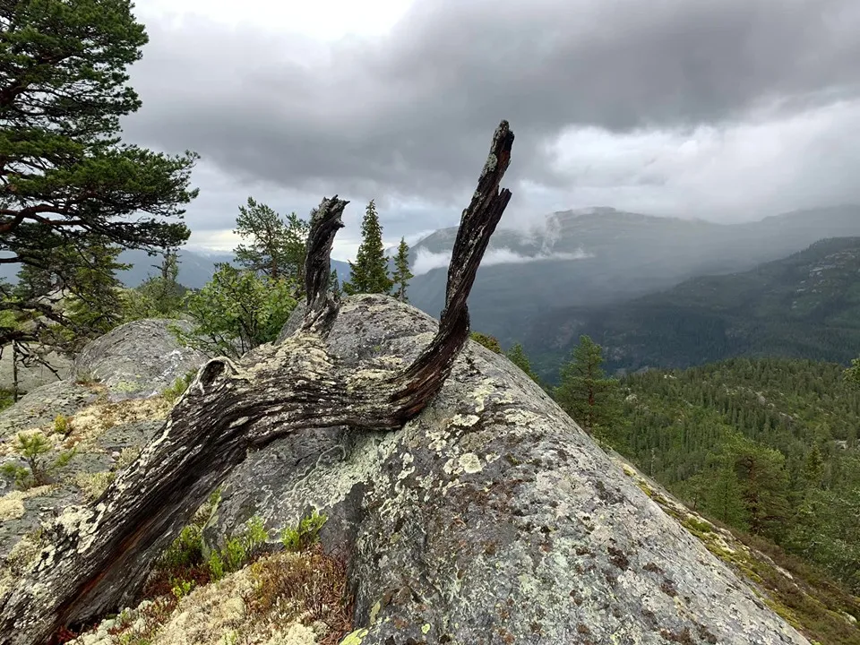
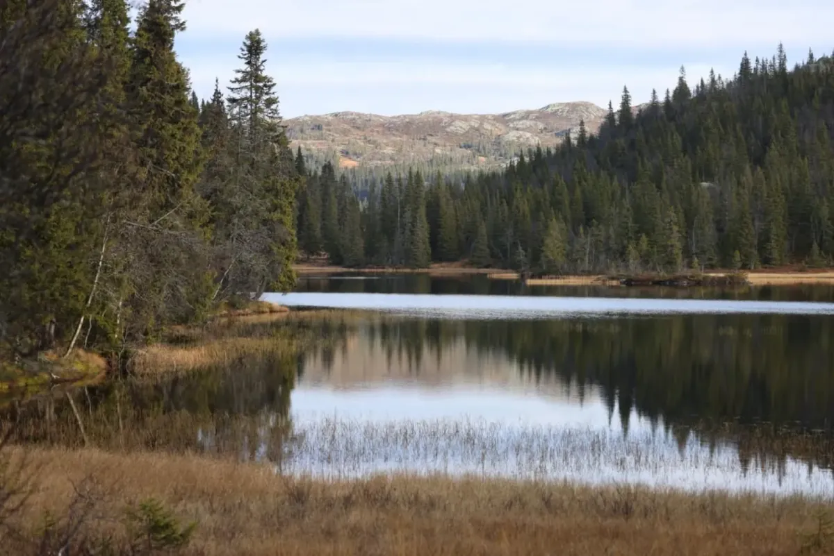
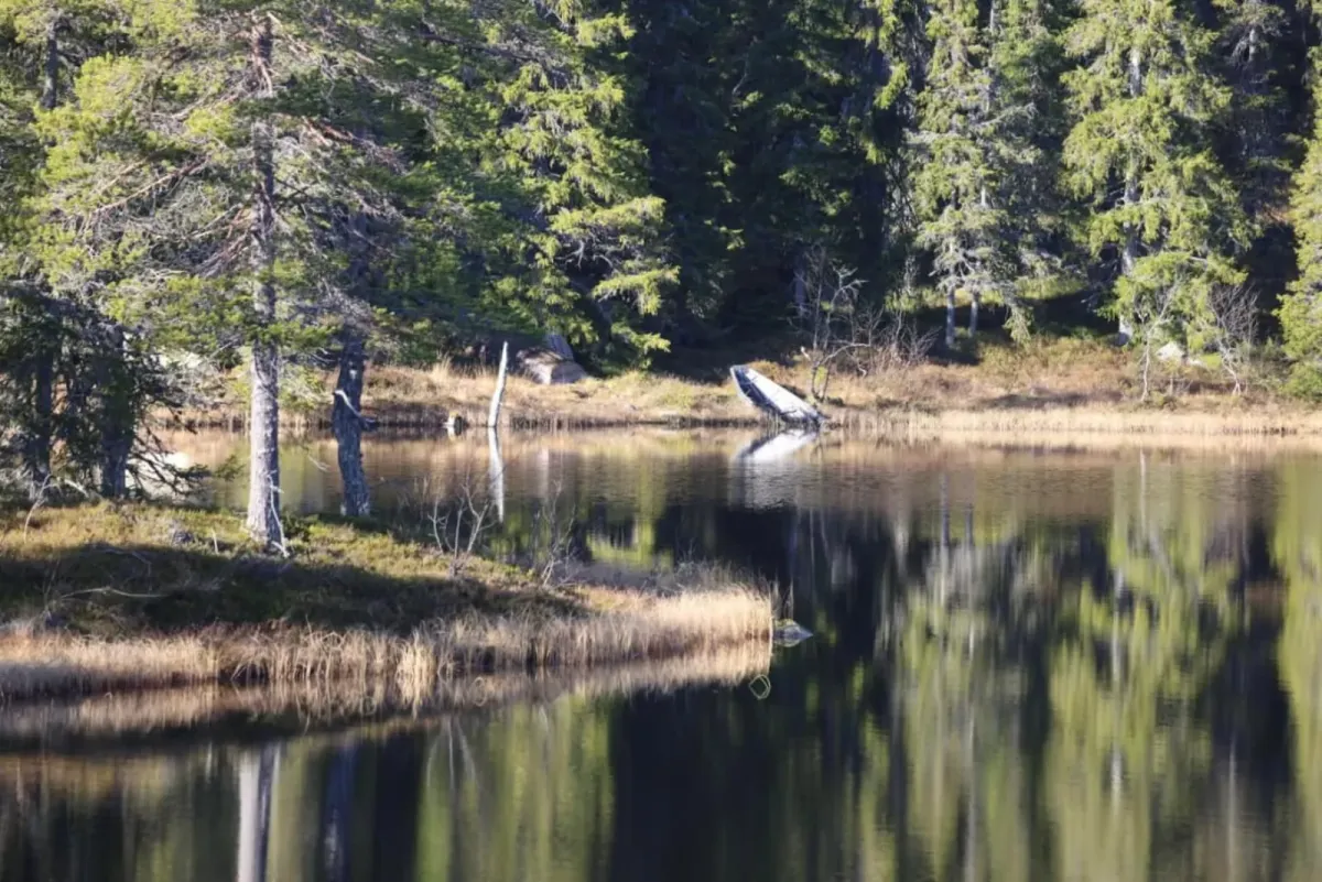
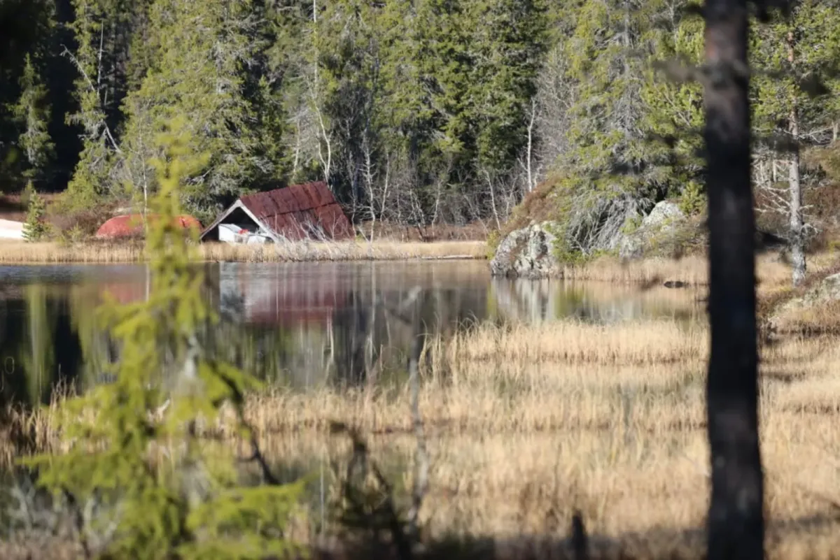
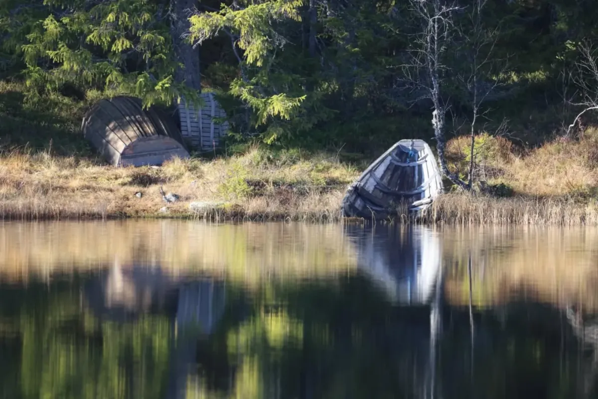
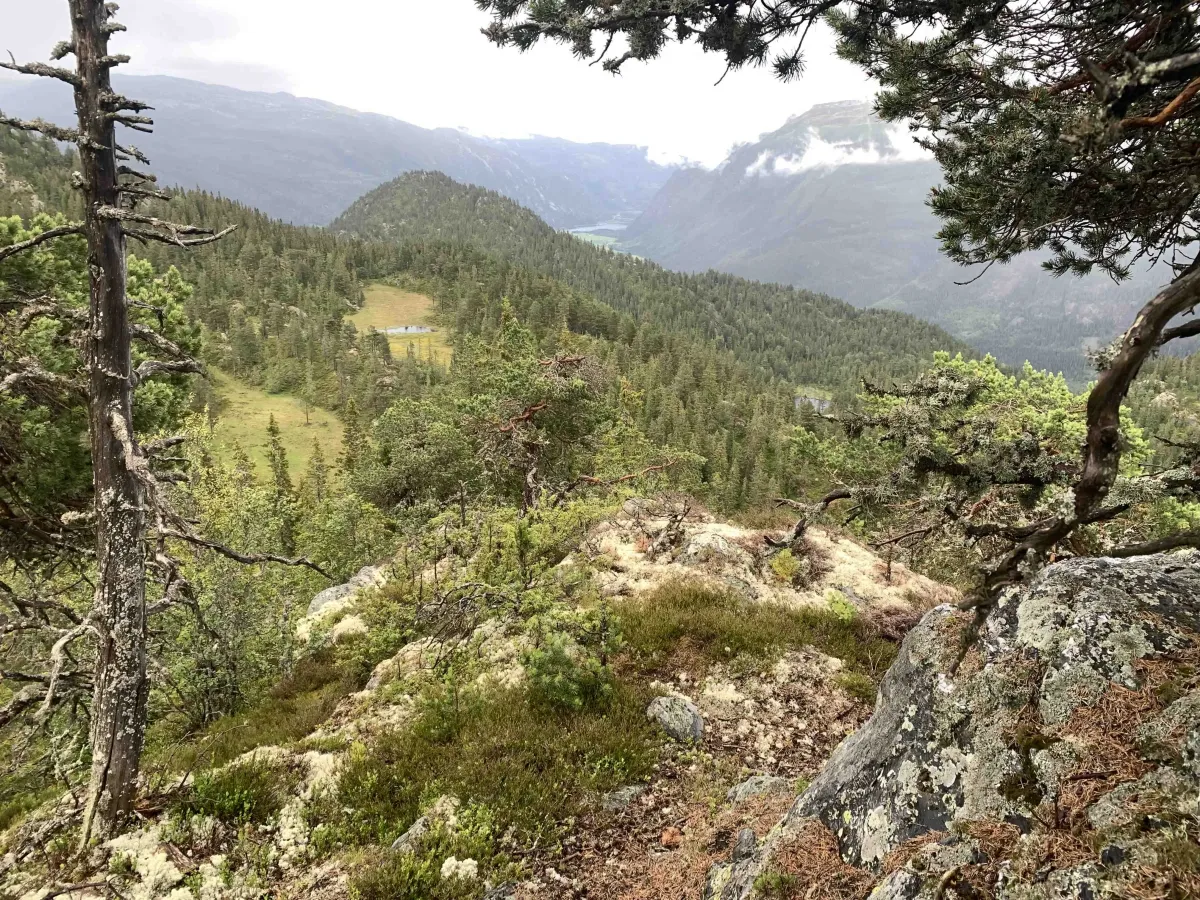
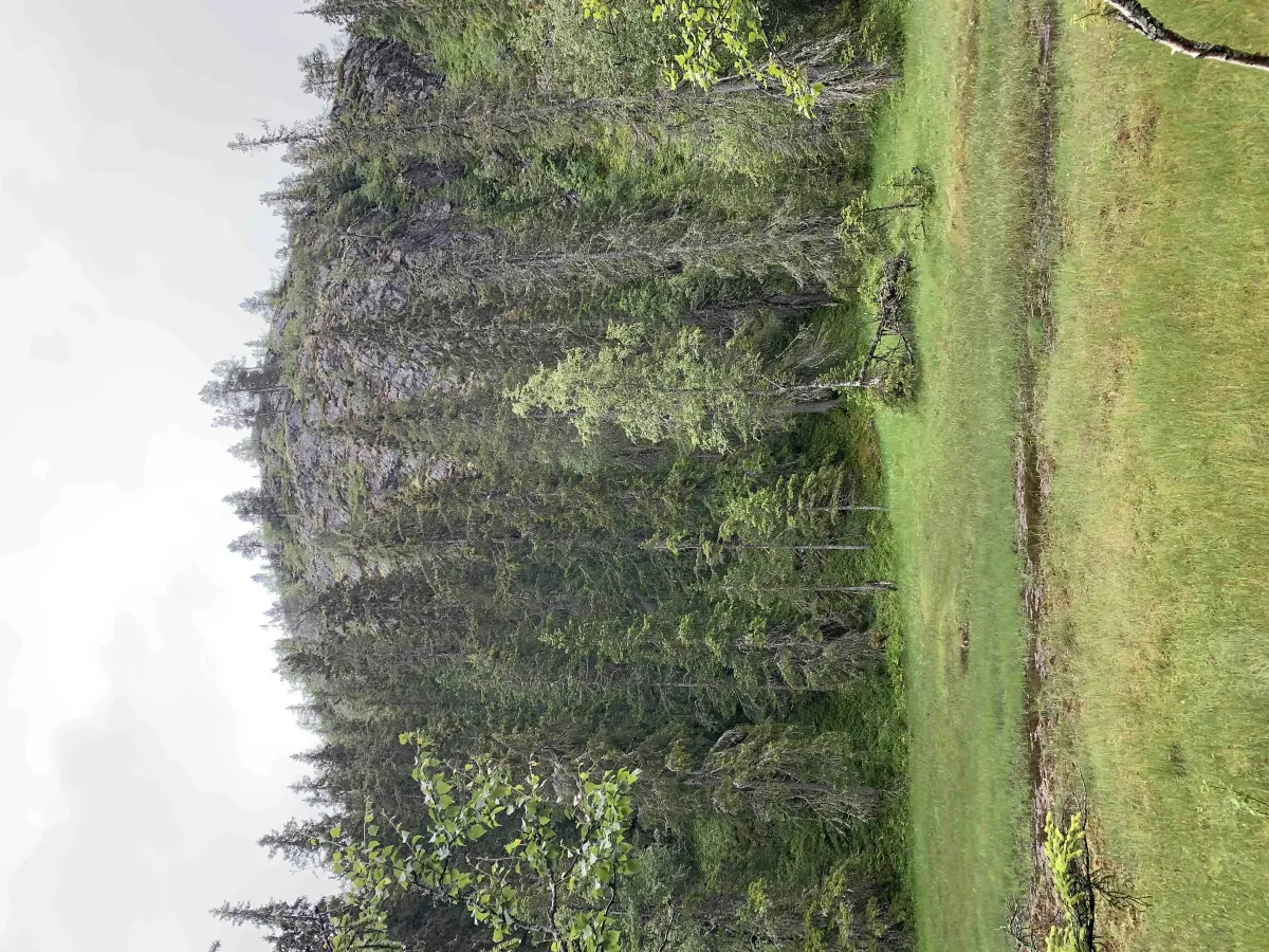
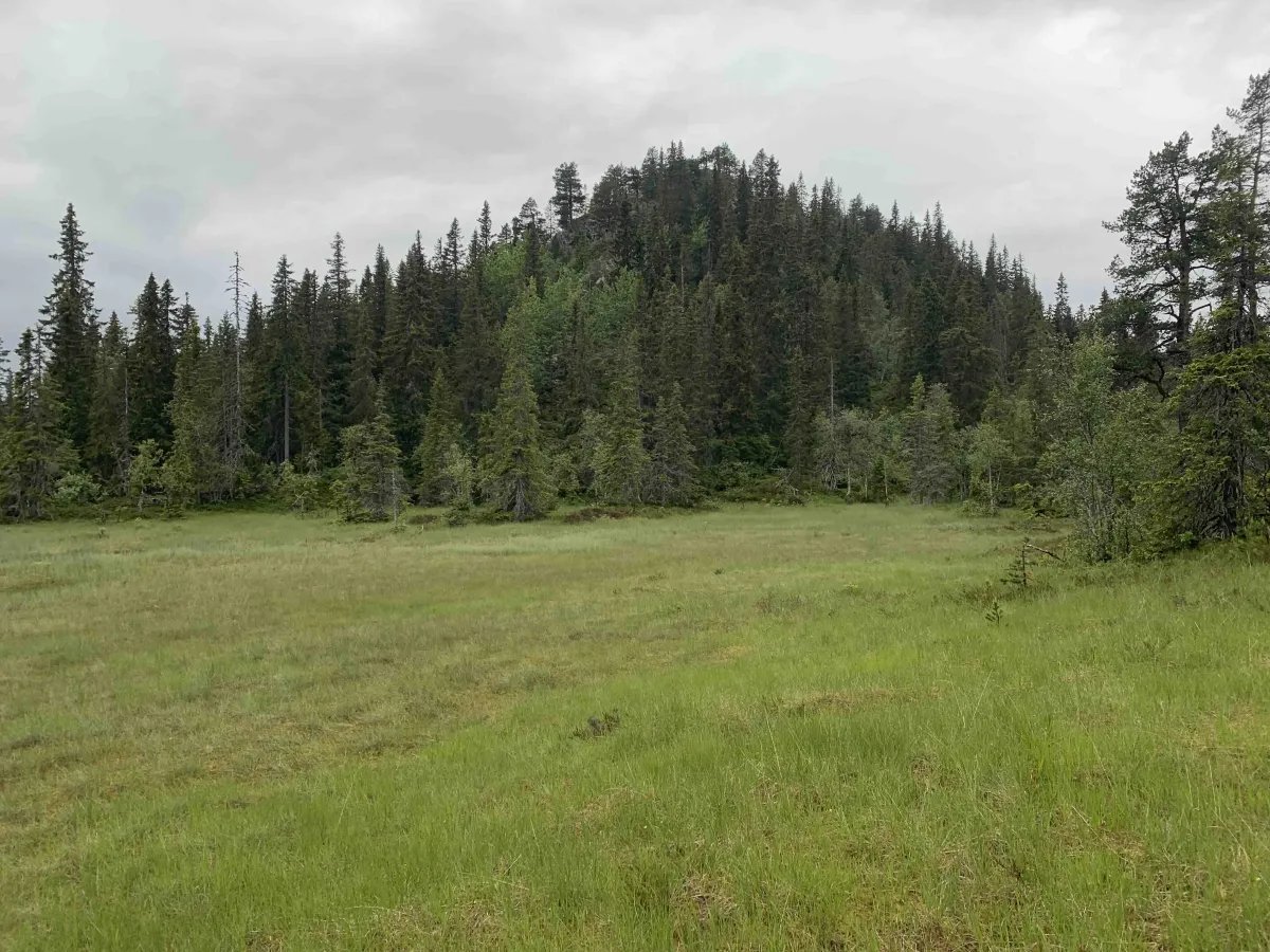
This tour starts from Åmotsdalsvegen. There is no public parking here, but it can be used as a drop-off point. Nystaulnuten is located behind Bindingsnuten and Torsnut. You can get up to it in two meetings. You can park at the parking lot 3 km from Nutheim on Åmotsdalsvegen. Then you can walk up and past Geitåsan. Up cliffs and over bogs. The last part can be a little steeper and probably requires some strength. 500 vertical meters to climb. The other road is from Vasstveit (boom). You walk from Vasstveittjønni and up Villfardalen and reach Nystaulnuten from the back.
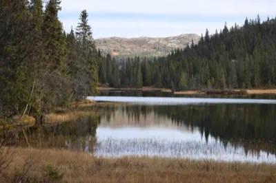
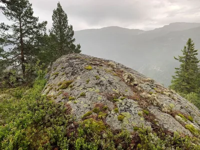
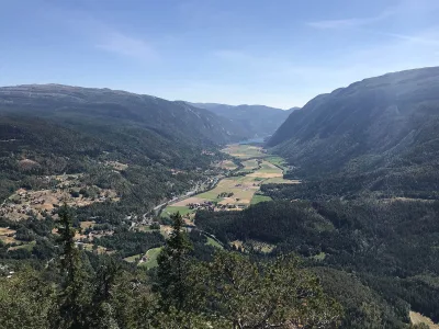
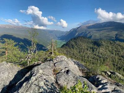
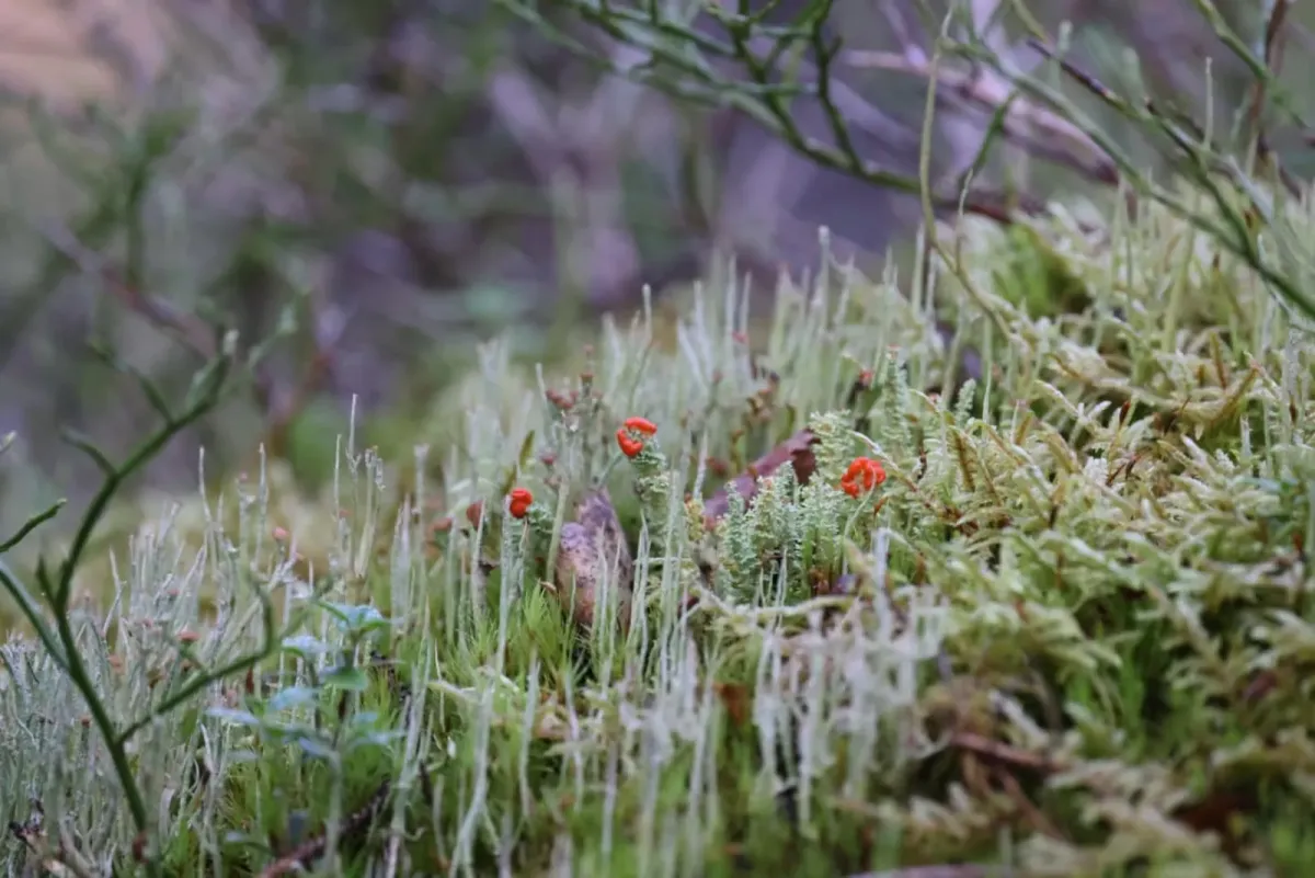
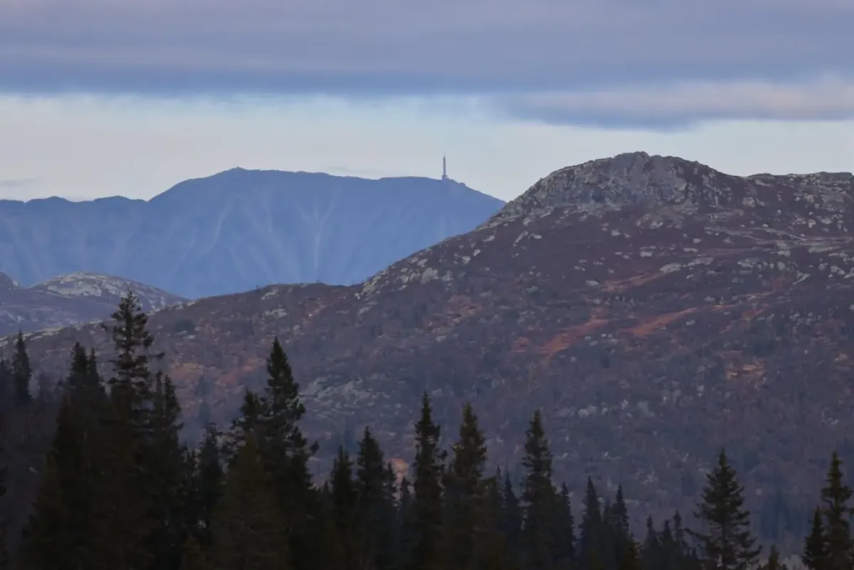
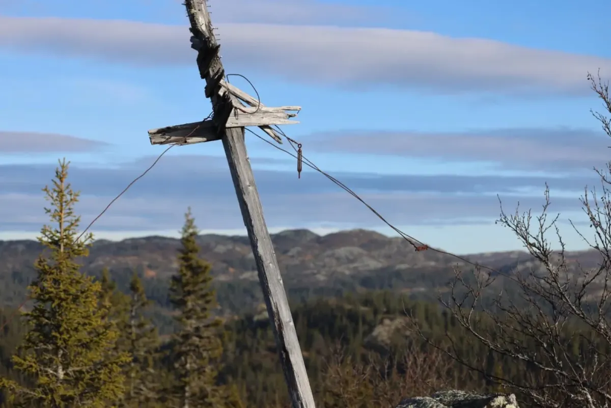
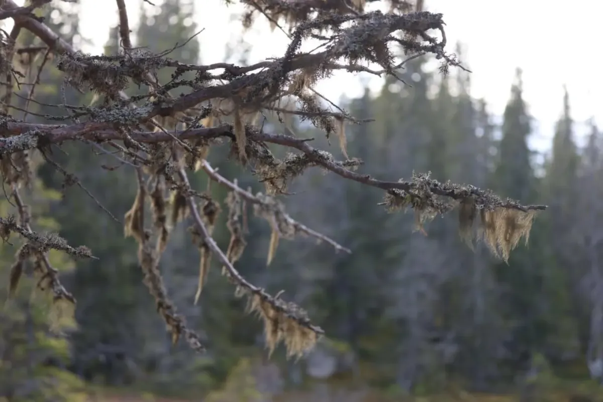
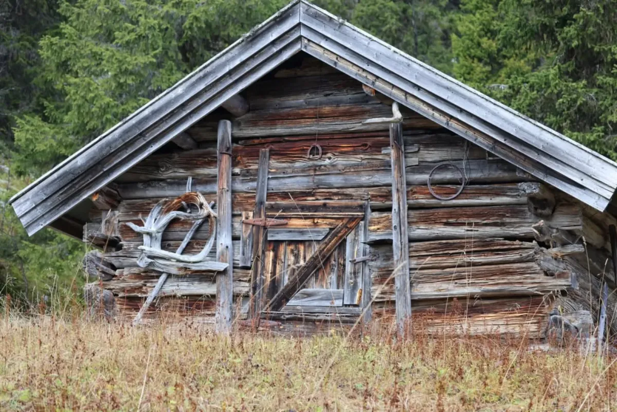
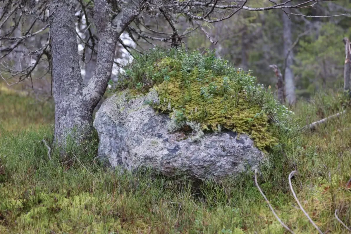
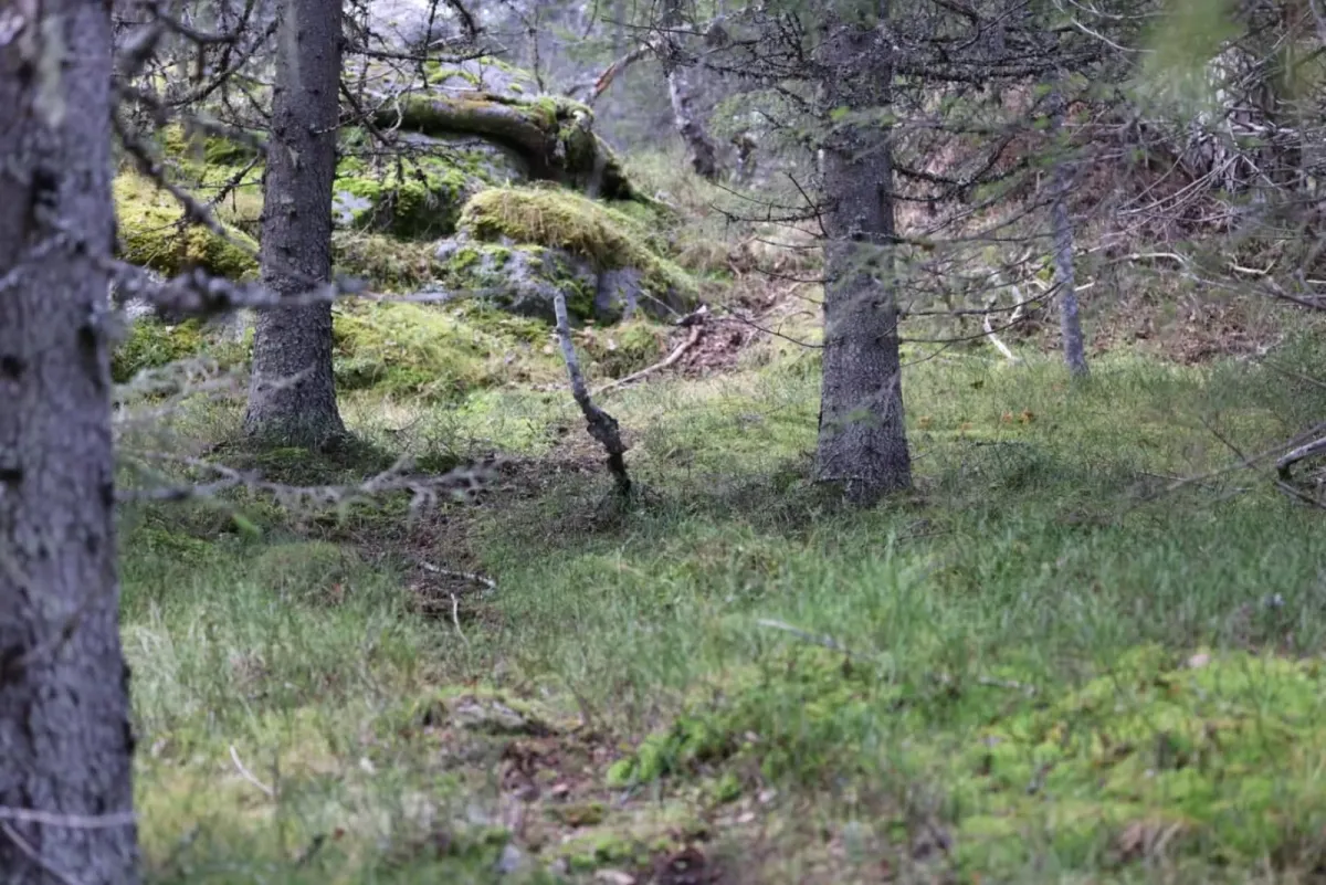
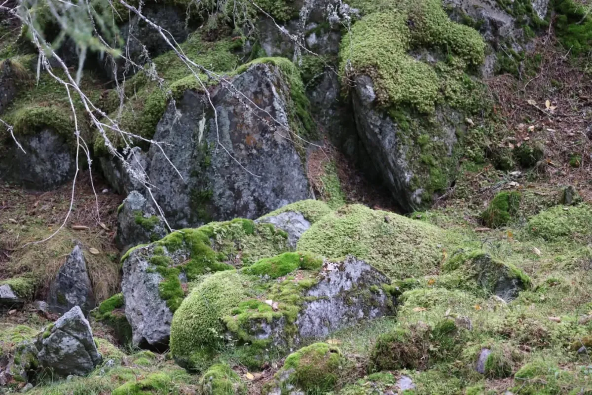
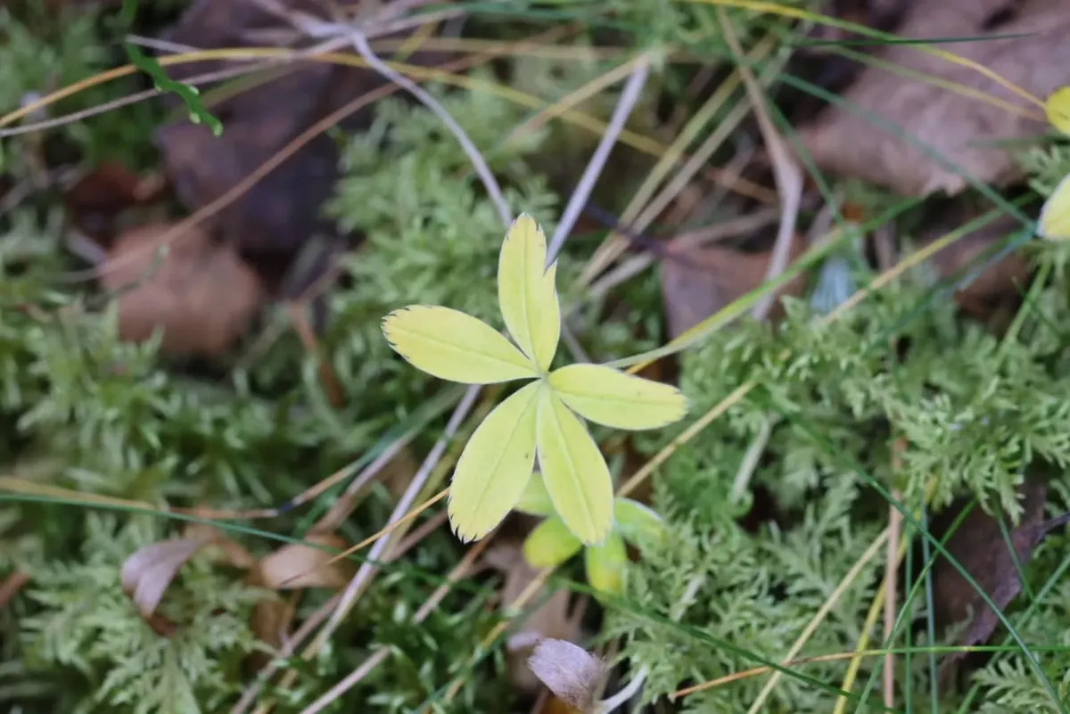
Photos (17)

1 / 17

User photos (3)
1 / 3
Practical info
- Direction
- tur-retur
- Season
- Summer
- Trail quality
- 2/5
- Solitude
- 5/5
Got any good trail tips?
Flatdal
Telemark
fintur.no
Telemark
fintur.no