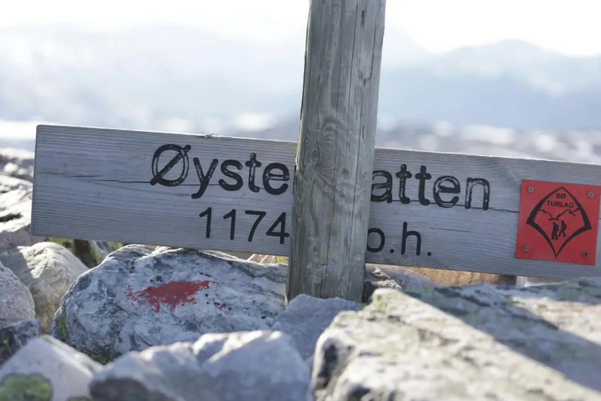
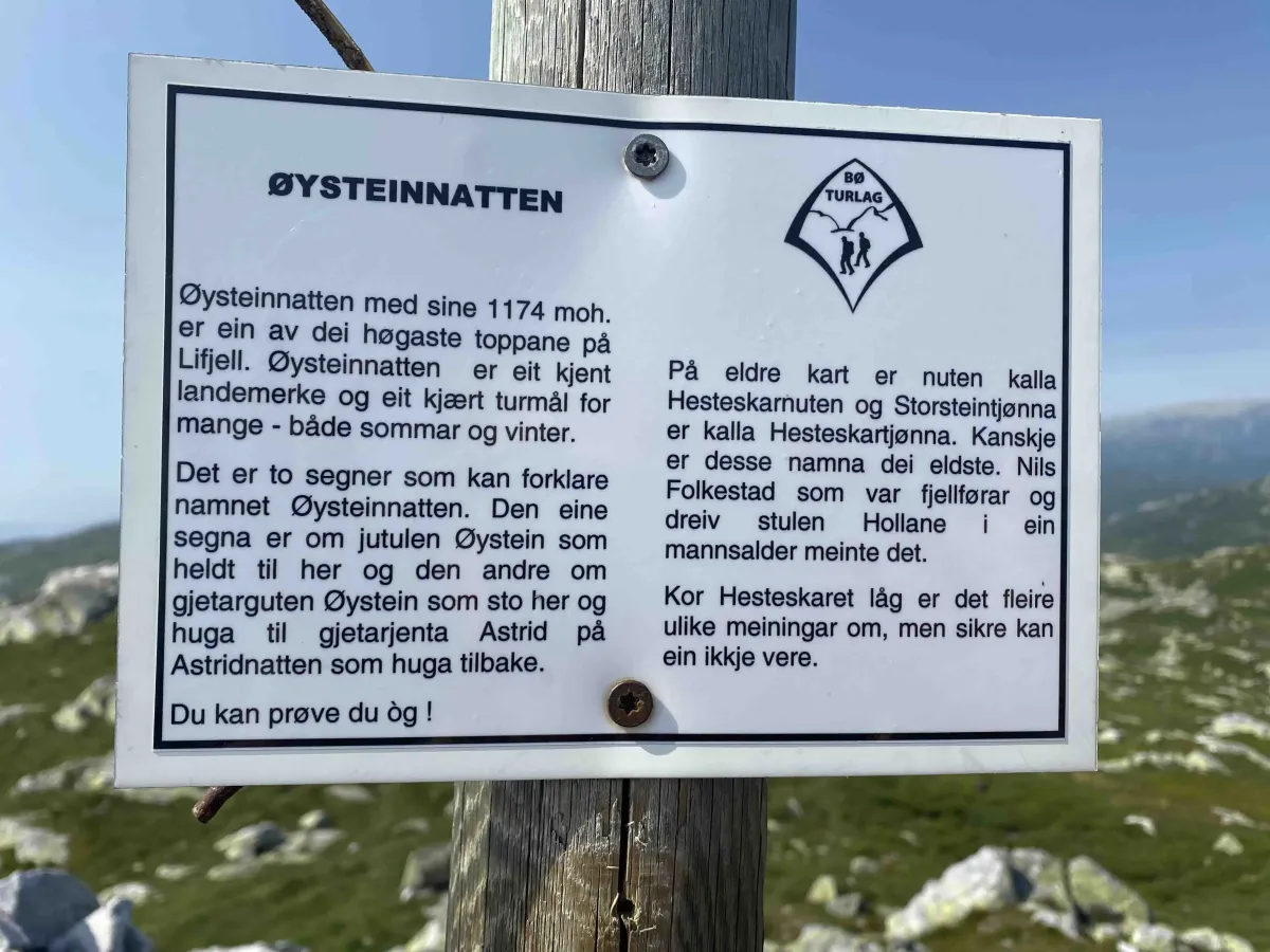
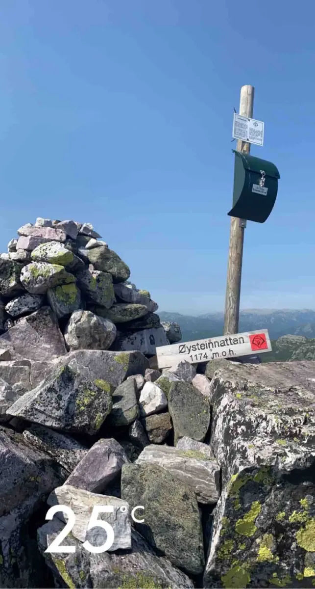
Øysteinnatten
 T
T
Weather forecast
Hentar vêrdata…
Kjelde: Yr.no (Meteorologisk institutt)
Map and route
S Start
M Finish
▲ Highest point
▼ Lowest point
km Main route
↕ m Elevation
About this hike
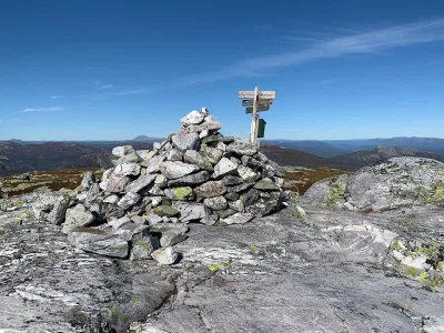
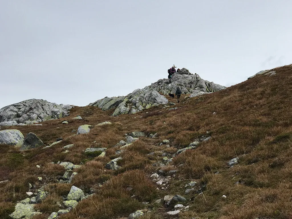
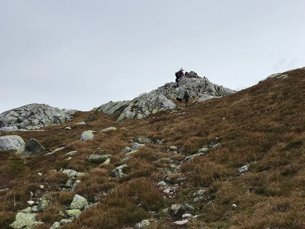
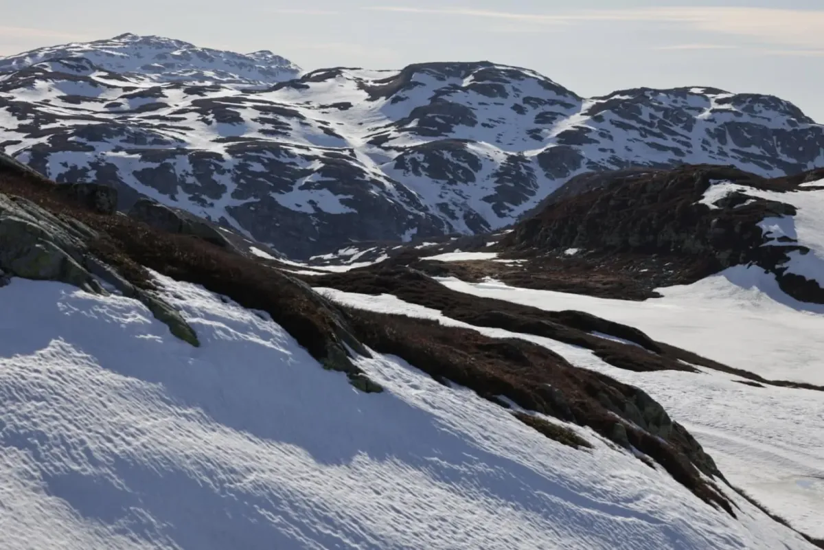
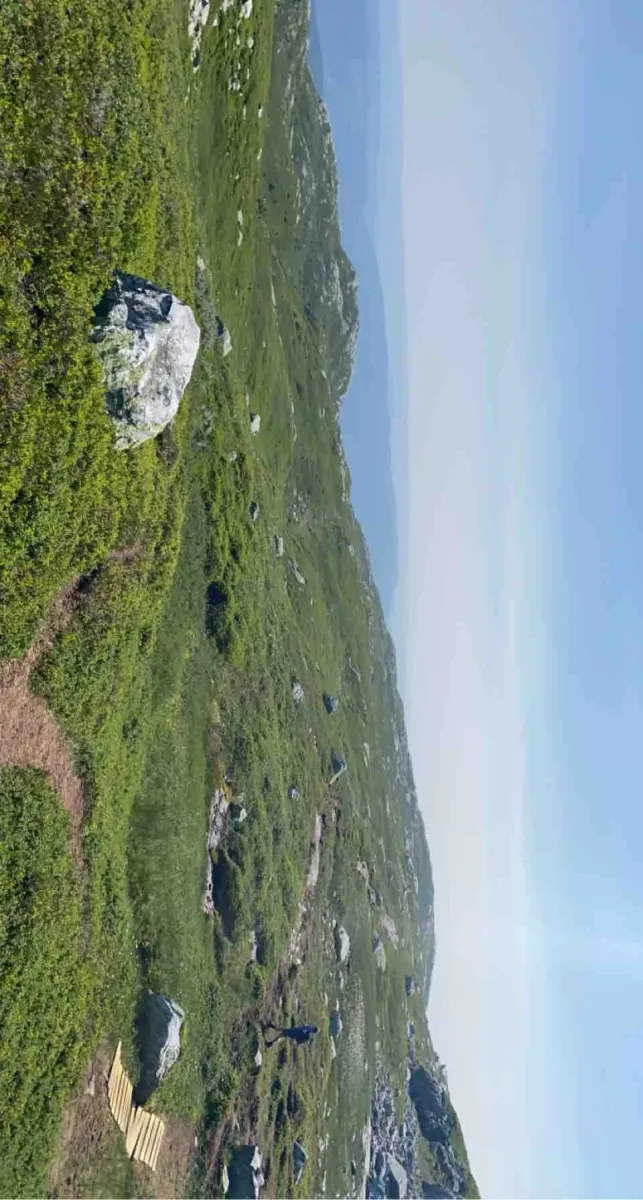
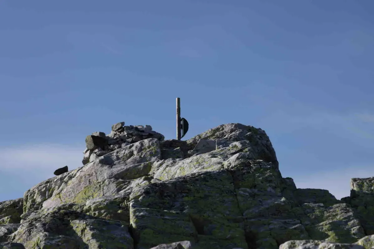
Øysteinnatten - steep hike from Jønnebu (1170 m)
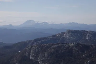
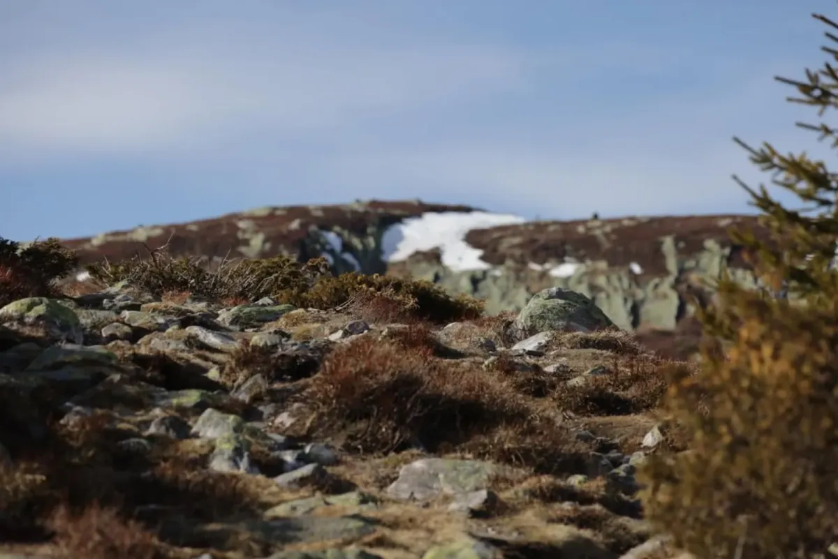
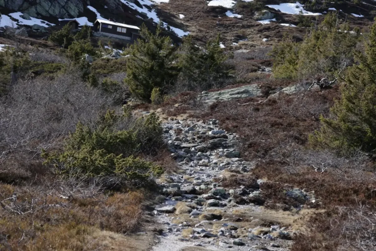
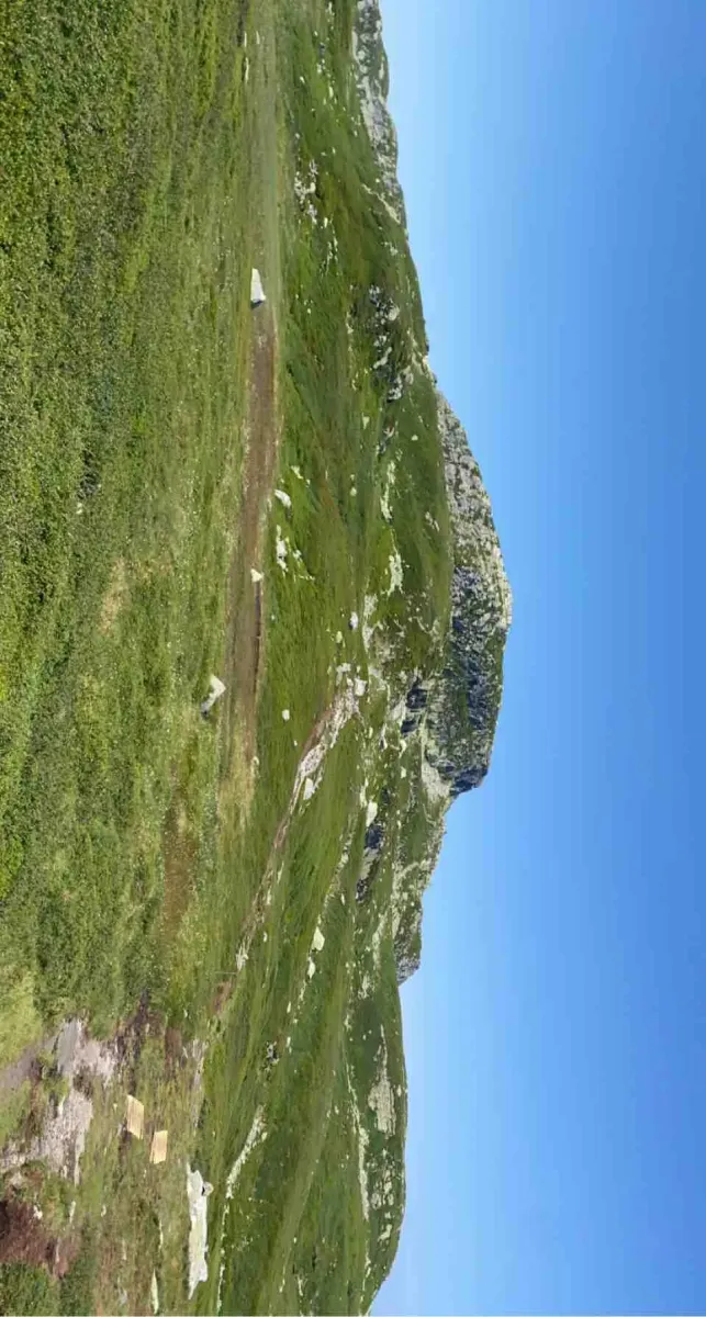
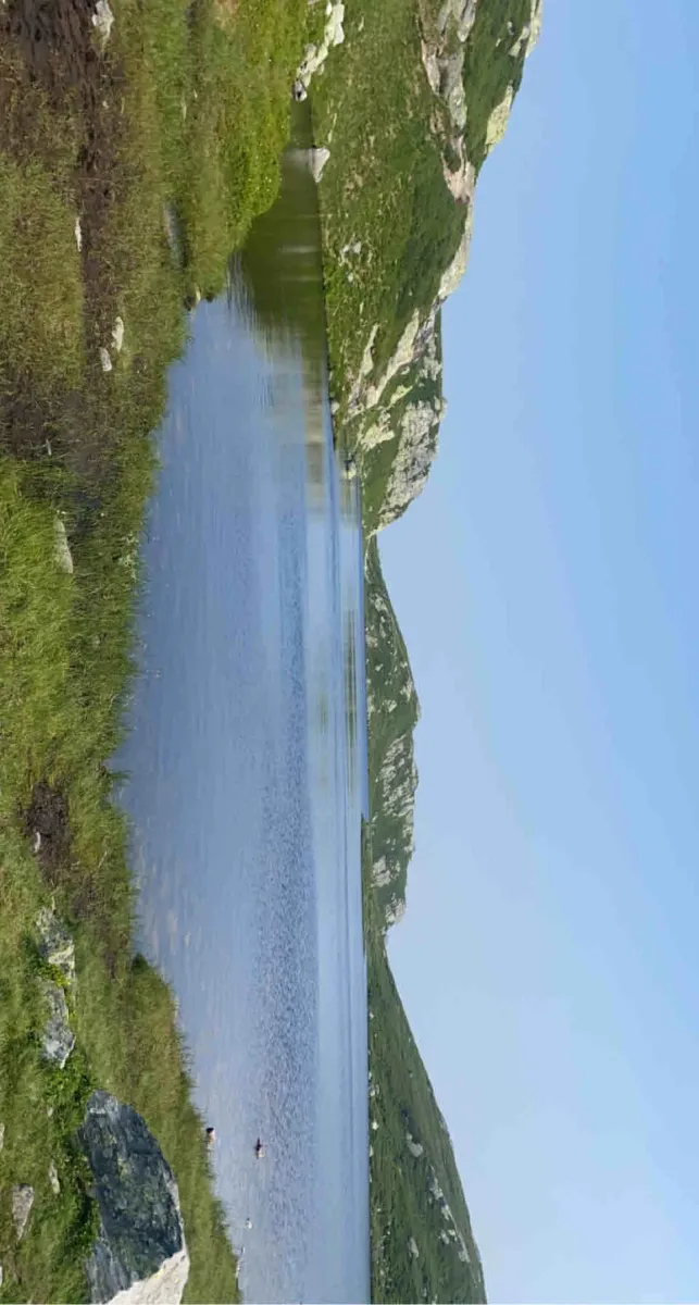
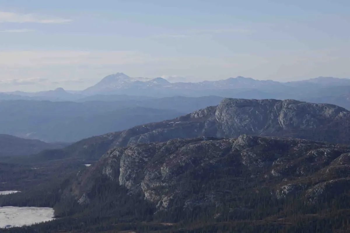
The hike from Jønnebu up to Øysteinnatten is a classic on Lifjell - short but intense. This peak stands out in the landscape and offers spectacular views both up and down the mountain.
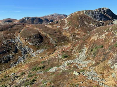
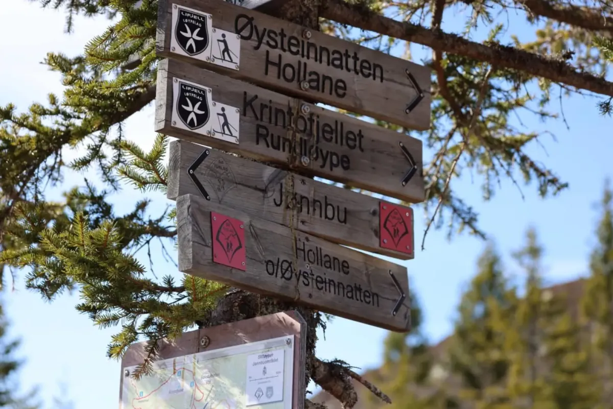
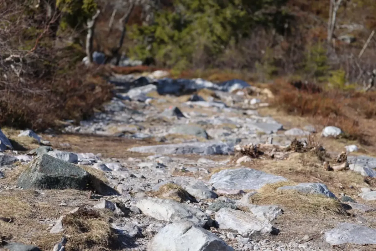
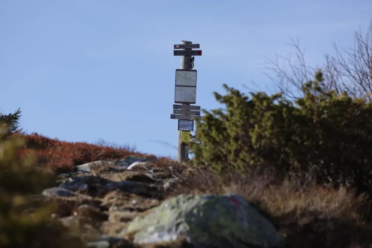
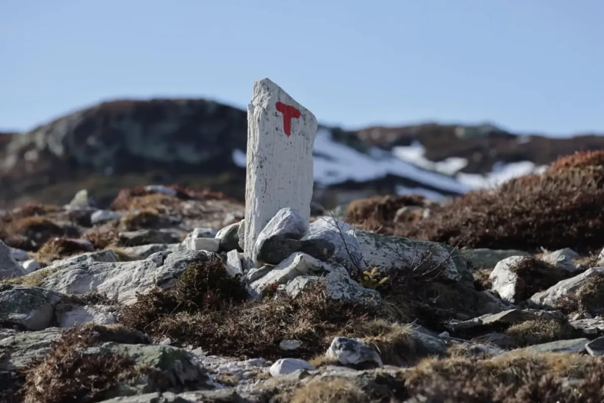
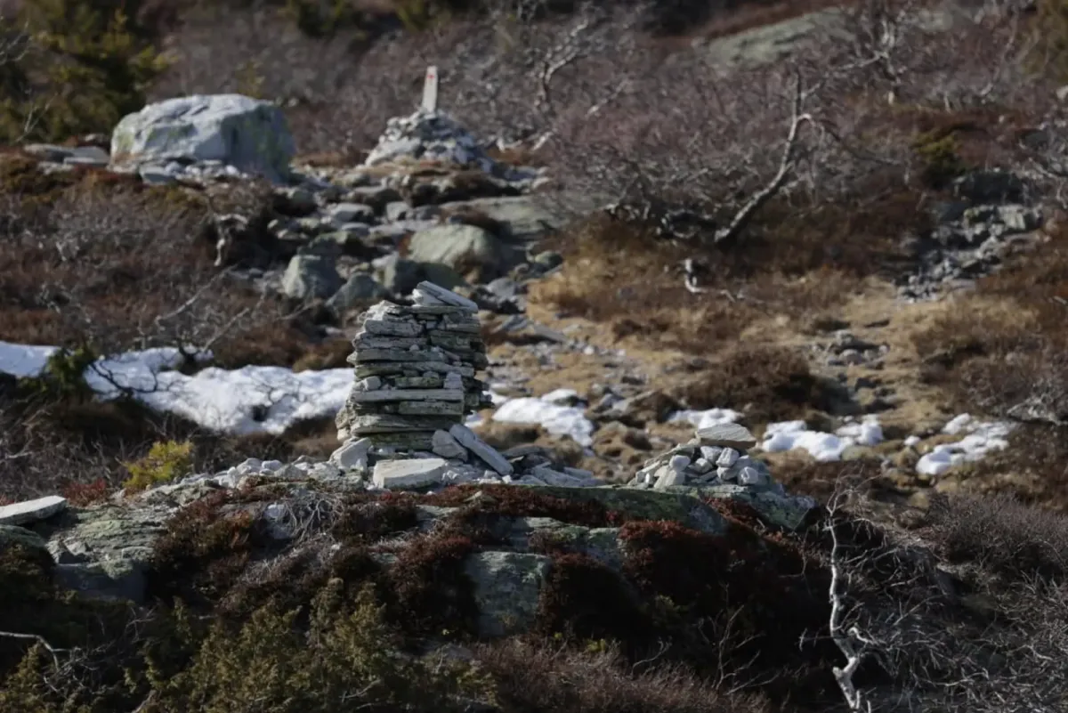
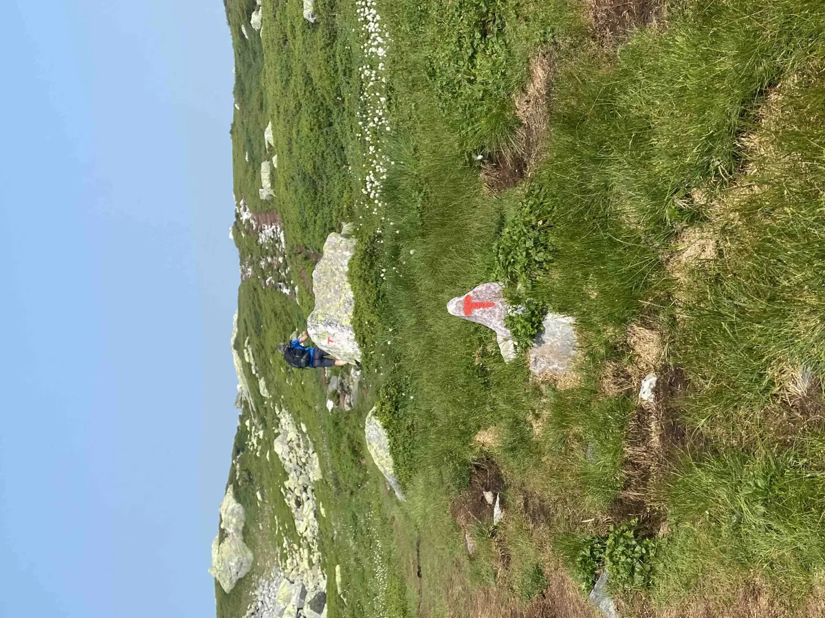
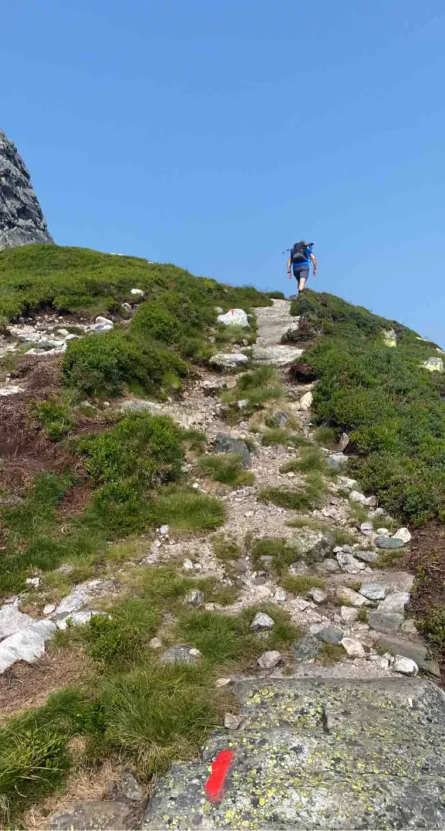
The path up is well marked, but it's a steep climb, and along the way you'll have to remember to turn around - because the view behind is just as great as the one waiting at the top.
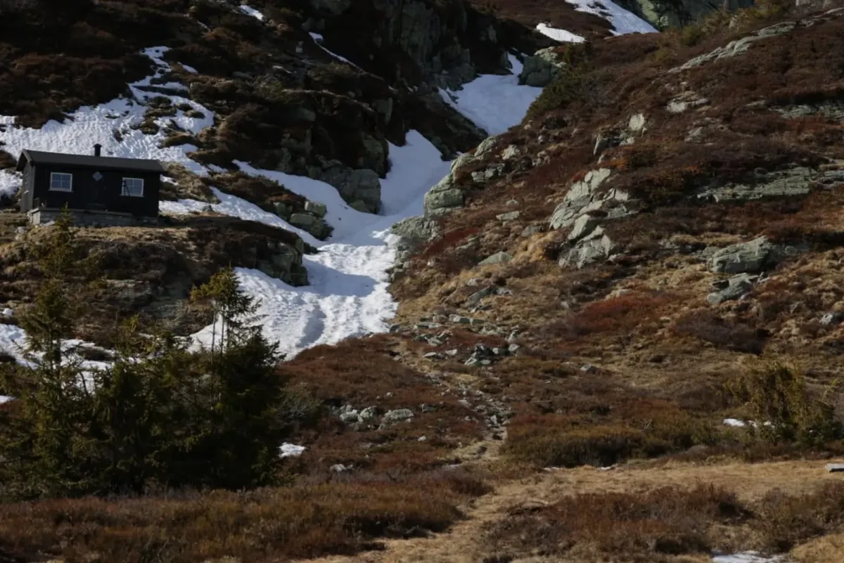
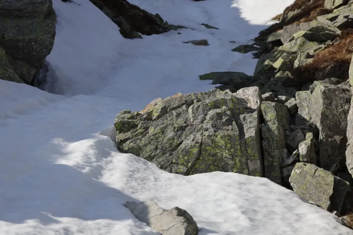
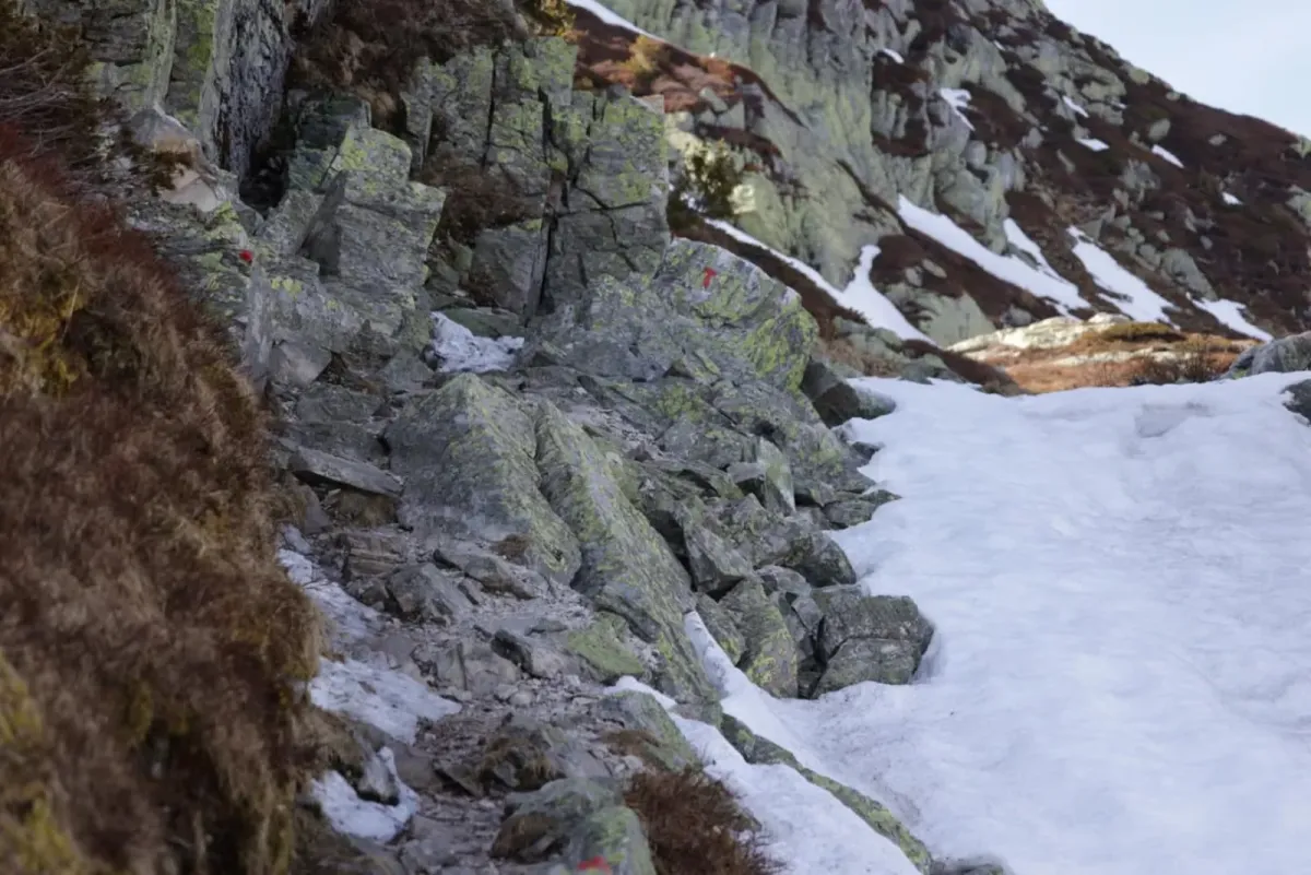
Important: It's easy to take a wrong turn both up to and down from the top. Follow the marked trail carefully. If you deviate from the route, you can quickly end up in steep and exposed mountain sections, and in some places there is a risk of getting stuck in a rock or slide.
Length: Approx. 4 km round trip
Gradient: Steep
Time: 2-3 hours
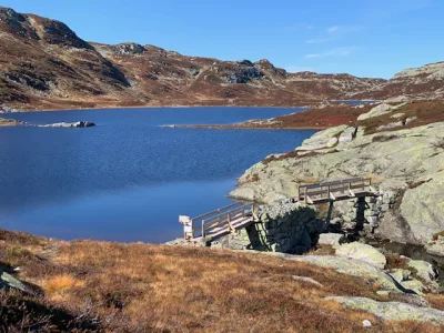
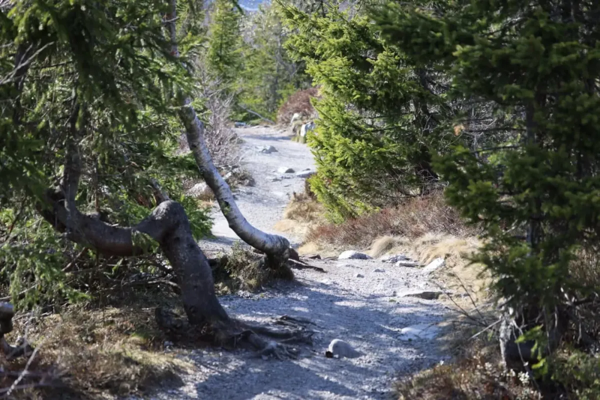
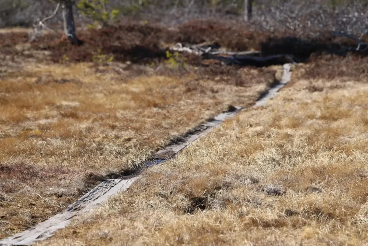
Terrain: Mountain trail with steep sections
Difficulty level: Moderate to demanding - marker understanding and concentration are important
The hike from Jønnebu up to Øysteinnatten is a classic on Lifjell - short but intense. This peak stands out in the landscape and offers spectacular views both up and down the mountain.
The path up is well marked, but it's a steep climb, and along the way you'll have to remember to turn around - because the view behind is just as great as the one waiting at the top.
Important: It's easy to take a wrong turn both up to and down from the top. Follow the marked trail carefully. If you deviate from the route, you can quickly end up in steep and exposed mountain sections, and in some places there is a risk of getting stuck in a rock or slide.
Length: Approx. 4 km round trip
Gradient: Steep
Time: 2-3 hours
Terrain: Mountain trail with steep sections
Difficulty level: Moderate to demanding - marker understanding and concentration are important
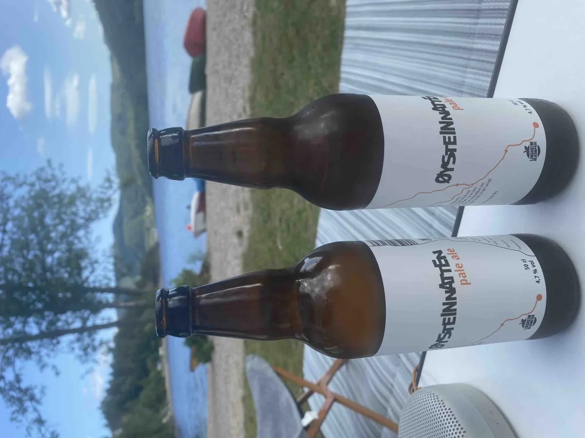
Photos (16)
1 / 16

User photos (10)
1 / 10
Practical info
- Direction
- tur-retur
- Season
- Summer
- Trail quality
- 3/5
- Solitude
- 4/5
Got any good trail tips?
Midt-Telemark
Telemark
fintur.no
Telemark
fintur.no