Raudbergnuten

Weather forecast
Hentar vêrdata…
Kjelde: Yr.no (Meteorologisk institutt)
Map and route
S Start
M Finish
▲ Highest point
▼ Lowest point
km Main route
km Alternativ rute
↕ m Elevation
About this hike
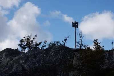
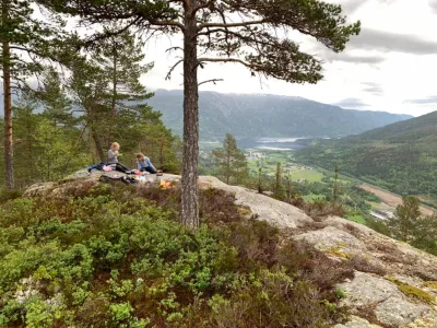
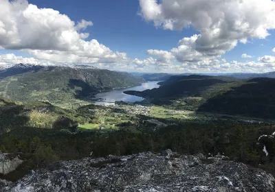
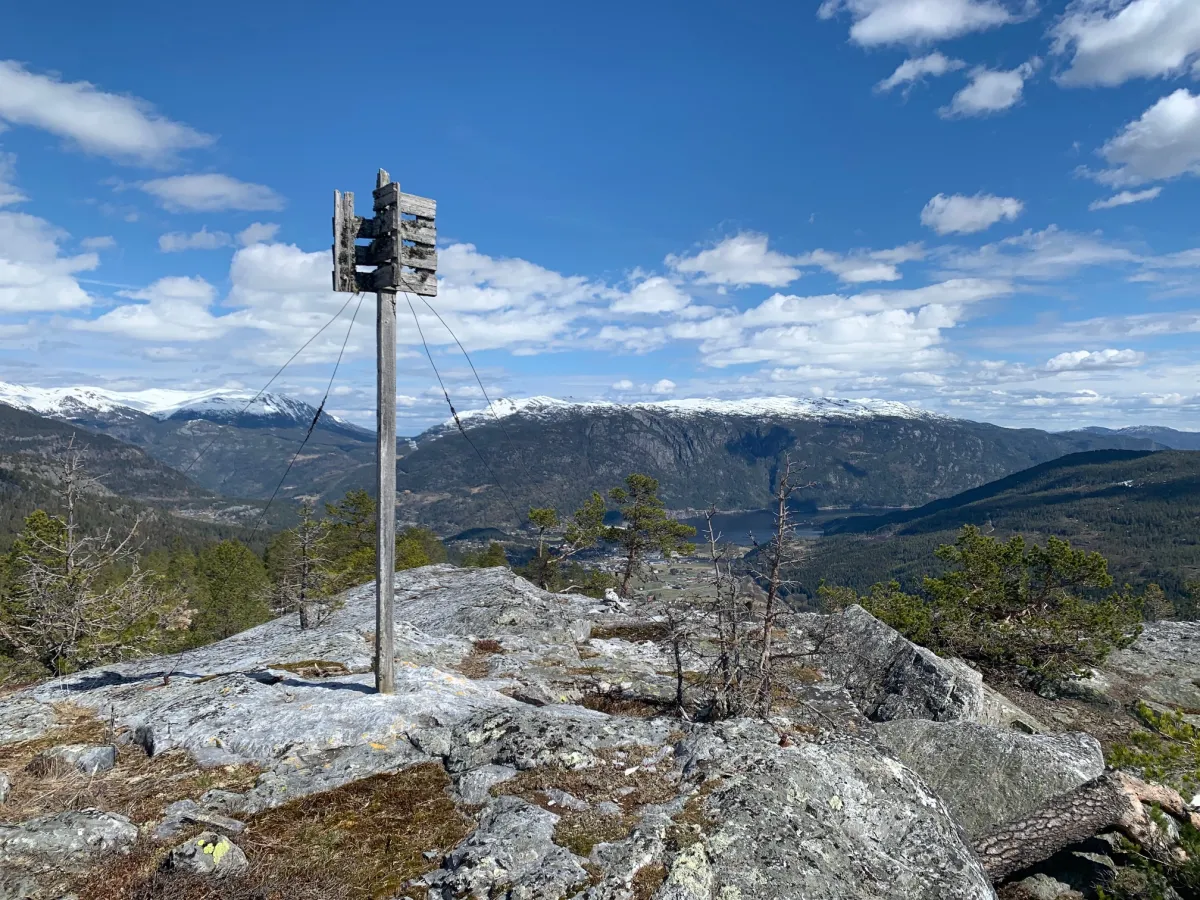
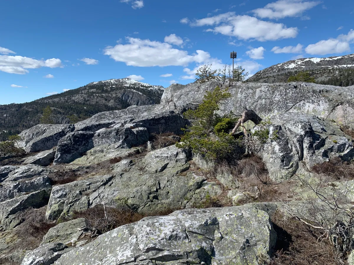
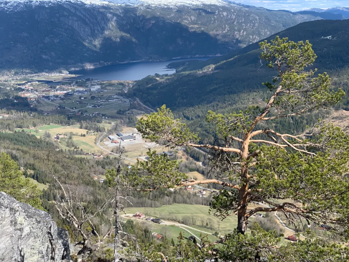
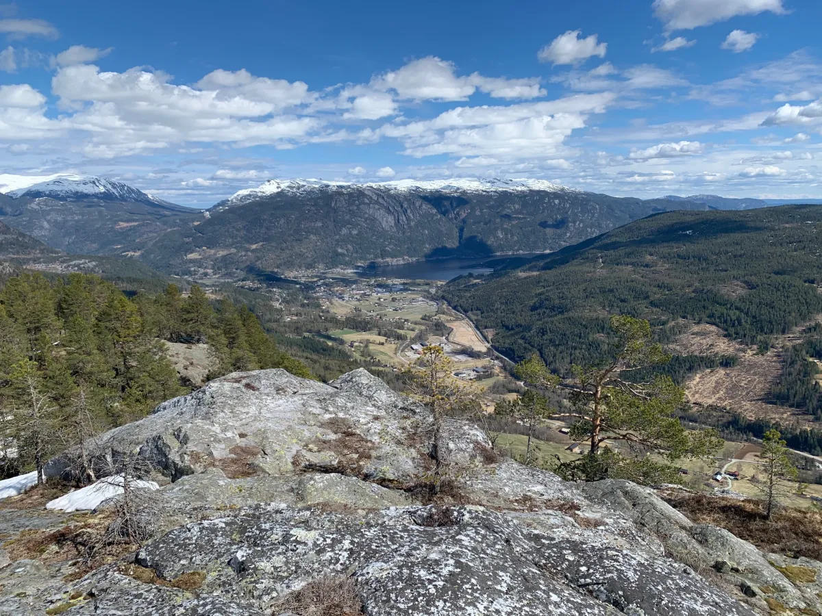
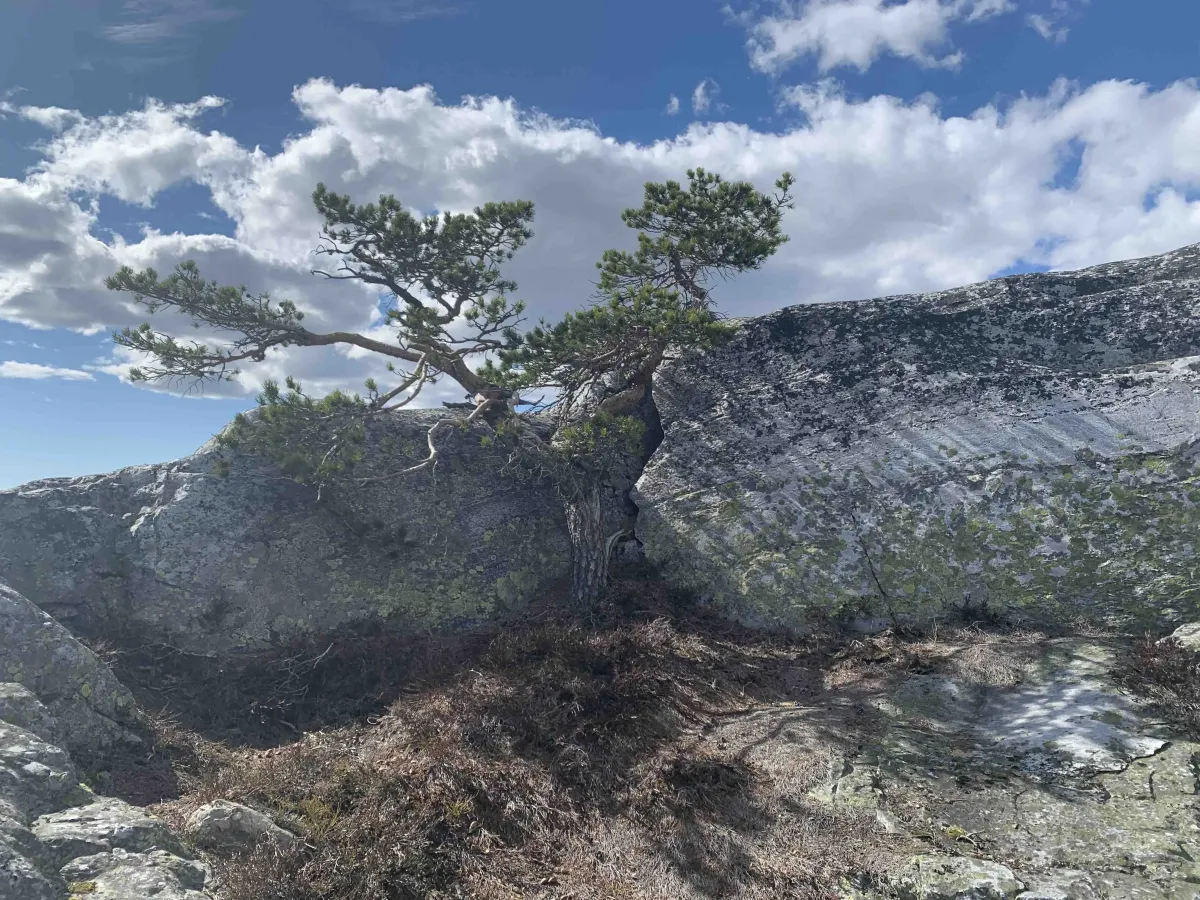
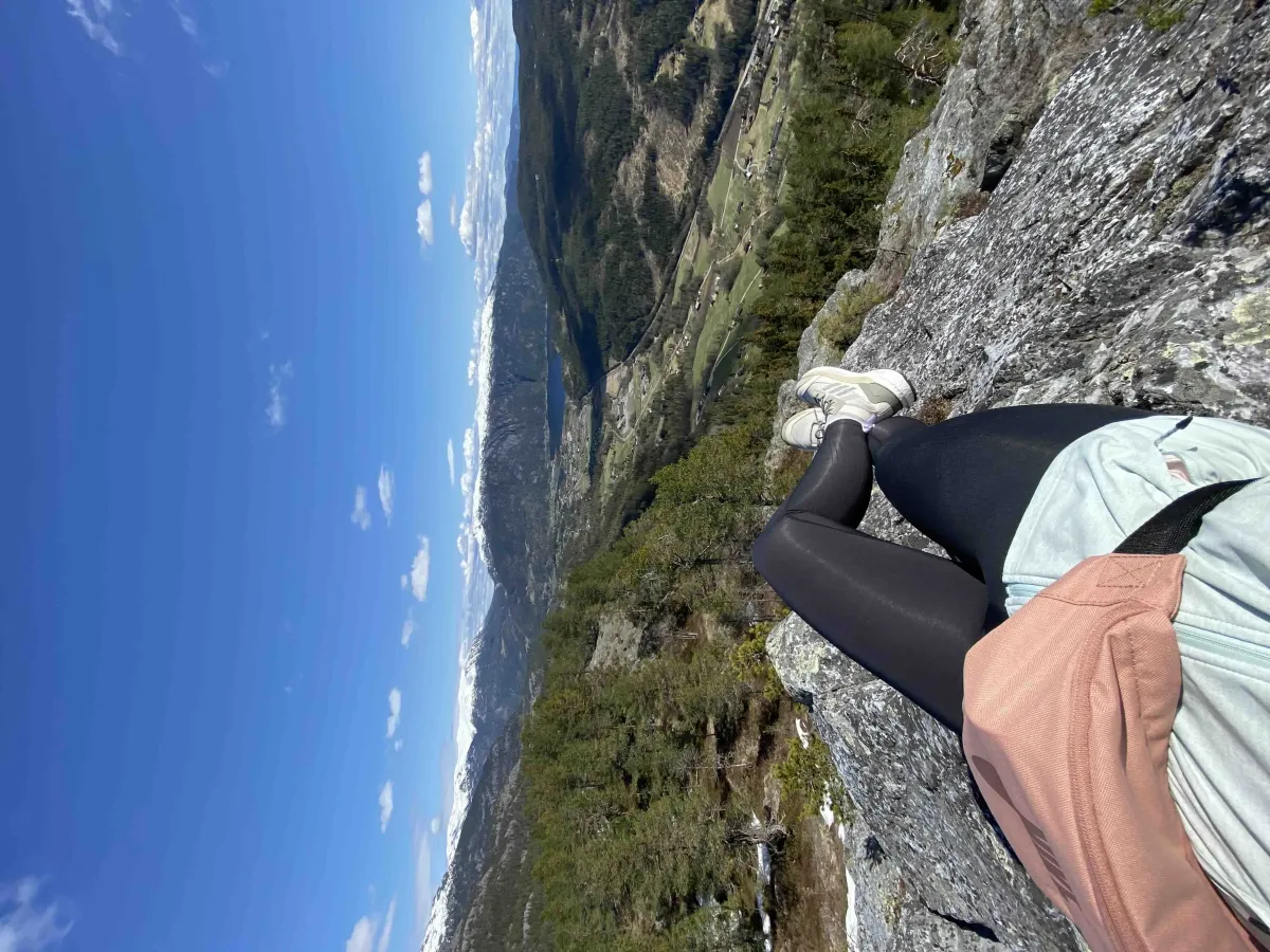
Raudbergnuten (695 meters above sea level) is one of the best vantage points in Seljord - an airy and open hut with a 360-degree view of the village, the lake and the surrounding mountains. From here you can see Skorve, Seljordsvatnet, Flatdal, and further towards Lifjell and Mælefjell - all from the same vantage point. This is a peak that many locals know and appreciate, but which is not yet crowded with people - a hidden gem with magnificent views.
Hiking route from Loftsgardgrendi via Kodde or Runningen:
The tour can be started from several points, but the most common routes go from:
- Kodde (private property - show consideration)
- Runningen - somewhat longer, but free and open
- Parking is available down by the road in Loftsgardgrendi
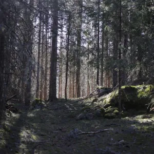
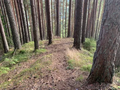
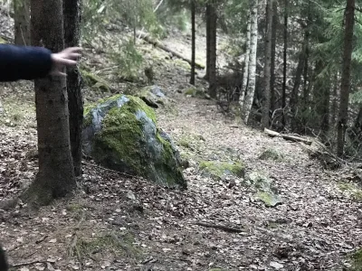
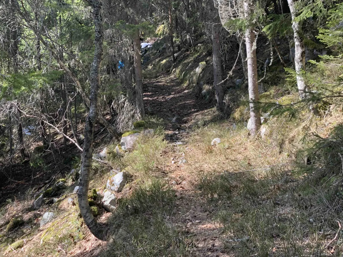
From Kodde, follow a steep tractor road up the hillside. After a good climb, the road flattens out and turns into an older forest path or cart track. You follow this for a few hundred meters before turning left, and the path winds its way upwards along mountains and open areas.
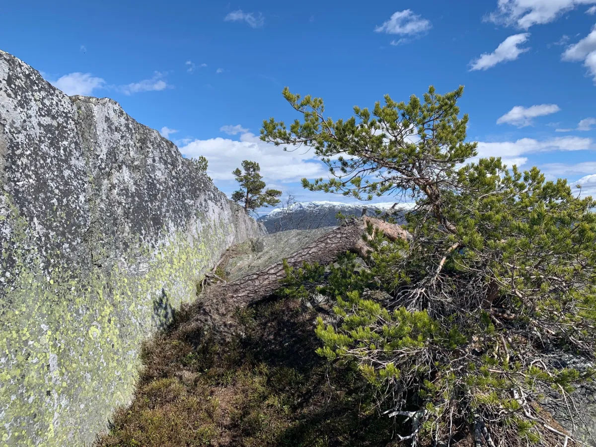
The top of Raudbergnuten is bare and airy, and on clear days you can see far beyond large parts of Telemark. This is a perfect place for a food break, photography - or just to sit quietly and watch the village spread out below you.
Alternative route:
A blue-marked alternative route starts a little further along the hillside and takes you in from a different angle - a great way to make a round trip out of the experience.
Facts about the tour:
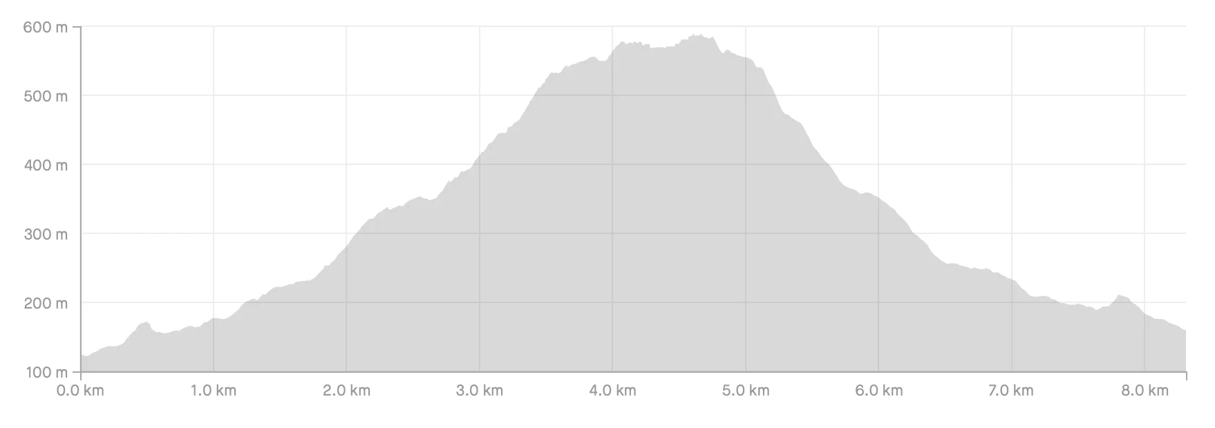
- Highest point: 695 m above sea level
- Length: Approx. 3-5 km round trip (varies according to starting point)
- Gradient: Moderate to steep at the start
- Time: Approx. 1.5-2.5 hours h/r
- Surface: Tractor road, path and rock
- Level: Moderate - suitable for most people with familiar mountain feet
Hiking tips:
- Wear good shoes - some rock sections can be slippery
- Bring a mat to sit on - the summit invites you to stay a while
- Take your camera - this is one of the best viewing peaks at low altitude
- A great hike in spring, summer and autumn - preferably with evening sun
Hiking route from Loftsgardgrendi via Kodde or Runningen:
The tour can be started from several points, but the most common routes go from:
- Kodde (private property - show consideration)
- Runningen - somewhat longer, but free and open
- Parking is available down by the road in Loftsgardgrendi
From Kodde, follow a steep tractor road up the hillside. After a good climb, the road flattens out and turns into an older forest path or cart track. You follow this for a few hundred meters before turning left, and the path winds its way upwards along mountains and open areas.
The top of Raudbergnuten is bare and airy, and on clear days you can see far beyond large parts of Telemark. This is a perfect place for a food break, photography - or just to sit quietly and watch the village spread out below you.
Alternative route:
A blue-marked alternative route starts a little further along the hillside and takes you in from a different angle - a great way to make a round trip out of the experience.
Facts about the tour:
- Highest point: 695 m above sea level
- Length: Approx. 3-5 km round trip (varies according to starting point)
- Gradient: Moderate to steep at the start
- Time: Approx. 1.5-2.5 hours h/r
- Surface: Tractor road, path and rock
- Level: Moderate - suitable for most people with familiar mountain feet
Hiking tips:
- Wear good shoes - some rock sections can be slippery
- Bring a mat to sit on - the summit invites you to stay a while
- Take your camera - this is one of the best viewing peaks at low altitude
- A great hike in spring, summer and autumn - preferably with evening sun
Photos (6)
1 / 6
Trail story
Stigningskart
Increase from Runningen
Lokal turinfo
We northerners usually go up from Øvre Lid, on to Oreflóti and then up Stigan to Ostetjønn. From there, the hike continues up Raubergnuten. The return trip is easy to take down Buvegjen, where you turn left towards Oreflóti and continue down to Lid. It's been many years since I last hiked there, and the path is probably overgrown on some stretches.
User photos (3)
1 / 3
Practical info
- Direction
- tur-retur
- Season
- Summer
- Trail quality
- 3/5
- Solitude
- 5/5
Got any good trail tips?
Seljord
Telemark
fintur.no
Telemark
fintur.no