Raudkleiv Up!
Weather forecast
Hentar vêrdata…
Kjelde: Yr.no (Meteorologisk institutt)
Map and route
S Start
M Finish
▲ Highest point
▼ Lowest point
km Main route
↕ m Elevation
About this hike
Raudkleiv up - steep and beautiful uphill hike from Dyrskuplassen
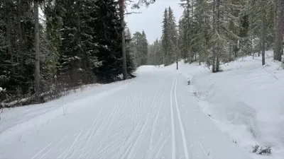
This is a short but powerful uphill hike from Dyrskuplassen in Seljord all the way up to the ski resort at Raudkleiv. The route is about 3 km long and climbs steadily and steeply - perfect for those who want a pulse, challenge and great nature experiences along the way.
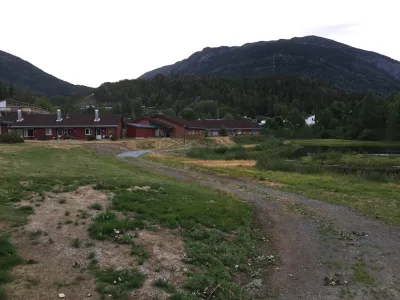
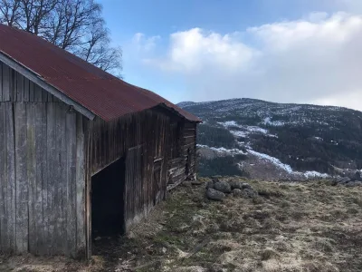
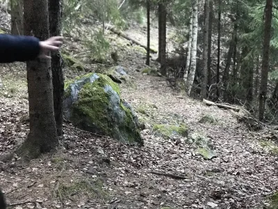
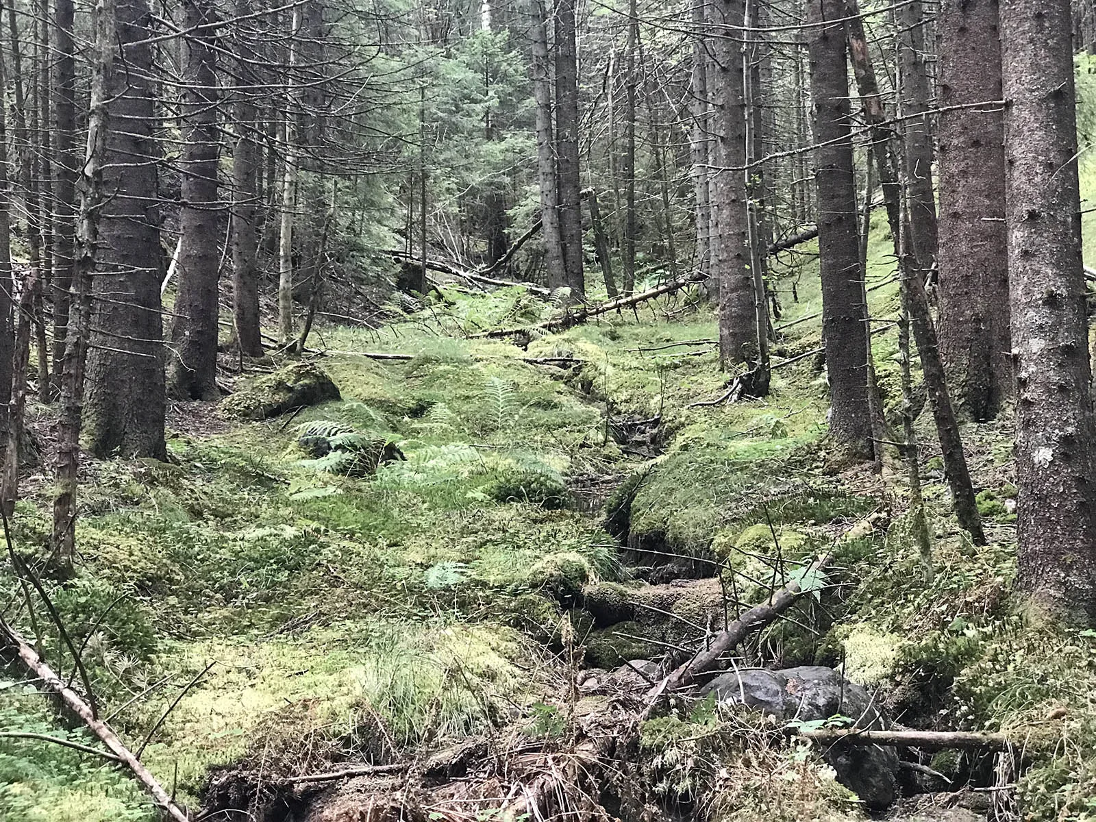
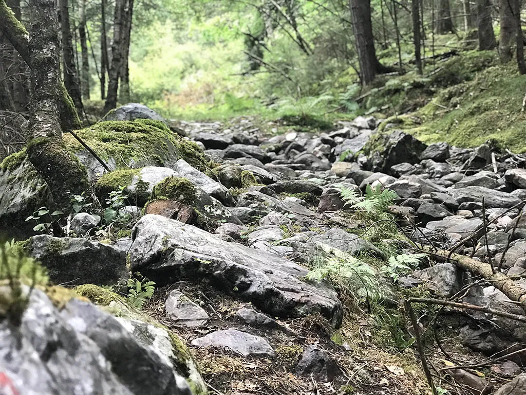
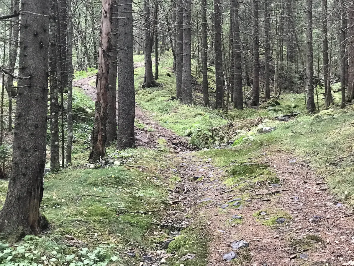
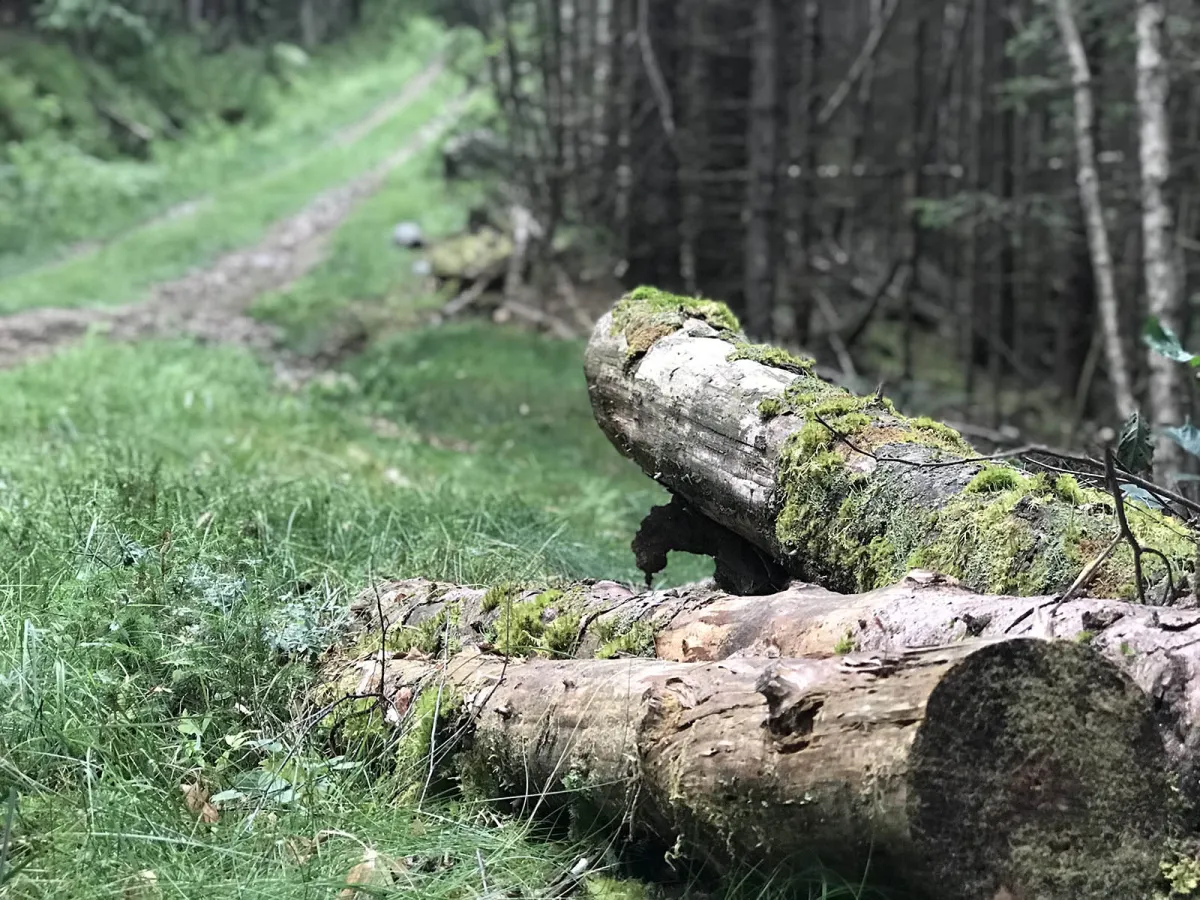
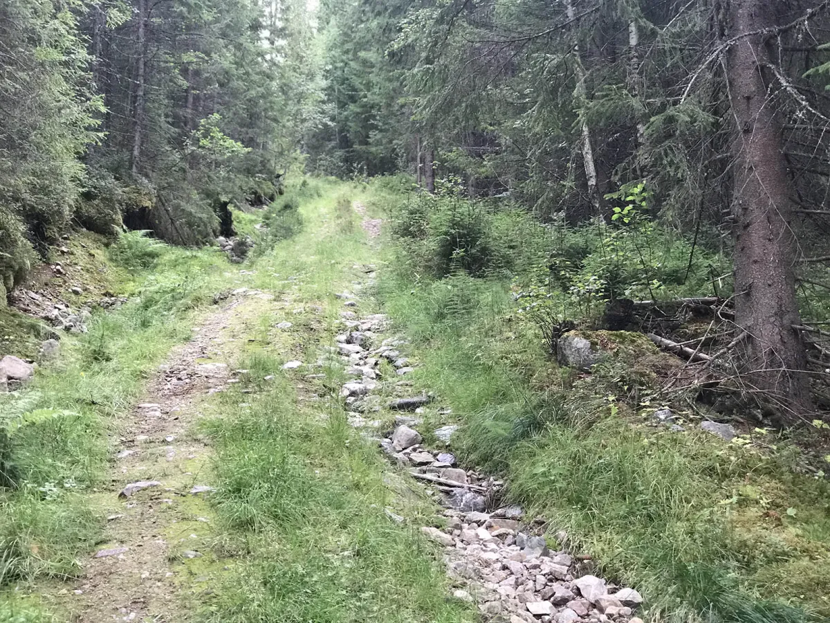
The trail starts at Dyrskuplassen, over the old bridge and under the new road, before winding upwards through dense and varied forest terrain. Along the way, you'll get many nice glimpses and small vantage points, and at the top you'll find open forest and a view of the Raudkleiv area.
This is also the course used for the annual "Raudkleiv Up!" downhill race - and if you manage to beat the record of around 17 minutes, then you're good! But most people take a little longer and enjoy the ride at their own pace.
Length: Approx. 3 km one way
Time: 40-60 minutes up
Gradient: Steep
Terrain: Forest path, mountains, some roots
Difficulty level: Moderate to demanding
Suitable for: Uphill training, forest hike with views, fast and intense hike
This is a short but powerful uphill hike from Dyrskuplassen in Seljord all the way up to the ski resort at Raudkleiv. The route is about 3 km long and climbs steadily and steeply - perfect for those who want a pulse, challenge and great nature experiences along the way.
The trail starts at Dyrskuplassen, over the old bridge and under the new road, before winding upwards through dense and varied forest terrain. Along the way, you'll get many nice glimpses and small vantage points, and at the top you'll find open forest and a view of the Raudkleiv area.
This is also the course used for the annual "Raudkleiv Up!" downhill race - and if you manage to beat the record of around 17 minutes, then you're good! But most people take a little longer and enjoy the ride at their own pace.
Length: Approx. 3 km one way
Time: 40-60 minutes up
Gradient: Steep
Terrain: Forest path, mountains, some roots
Difficulty level: Moderate to demanding
Suitable for: Uphill training, forest hike with views, fast and intense hike
Photos (4)
1 / 4
Videos (1)
Raudkleiv Up! - turen
Practical info
- Direction
- tur-retur
- Season
- Summer
- Trail quality
- 3/5
- Solitude
- 3/5
Got any good trail tips?
Seljord
Telemark
fintur.no
Telemark
fintur.no