Rust (Brenderustfjellet)
Fee
The road or car park has a fee. Bring small change. Some take cards and Vipps.
Weather forecast
Hentar vêrdata…
Kjelde: Yr.no (Meteorologisk institutt)
Map and route
S Start
M Finish
▲ Highest point
▼ Lowest point
km Main route
km Alternativ rute
↕ m Elevation
About this hike
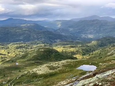
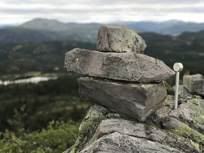
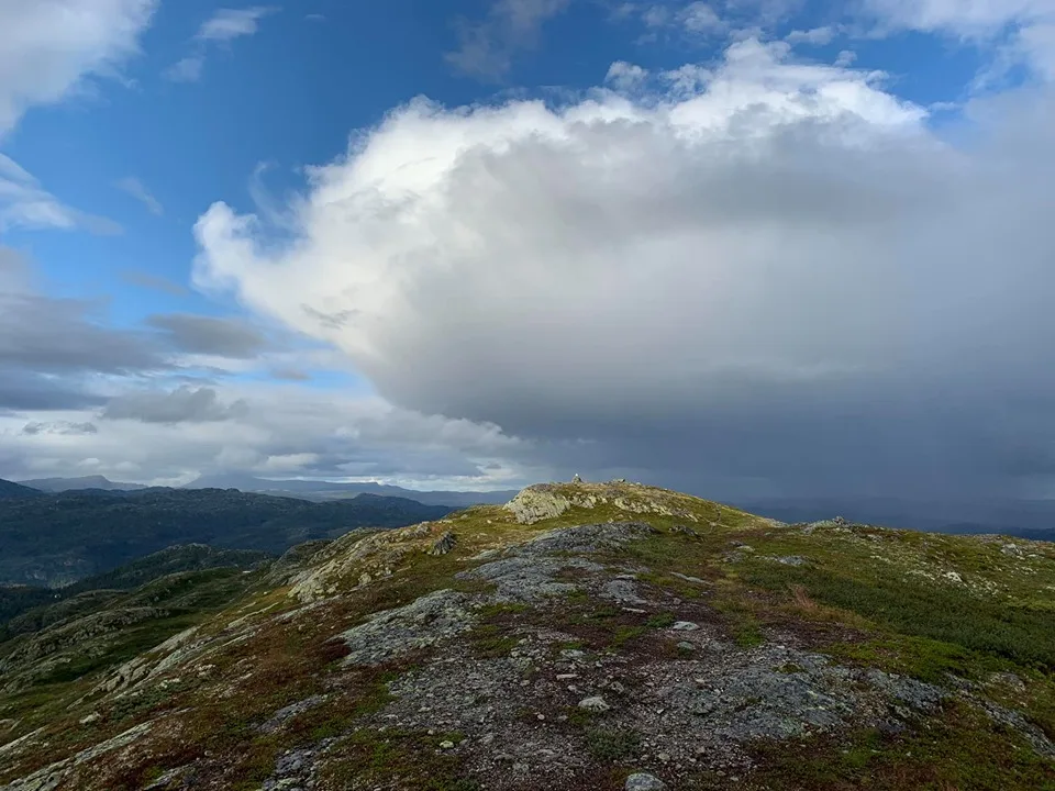
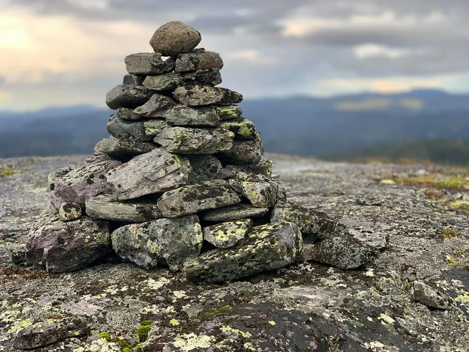
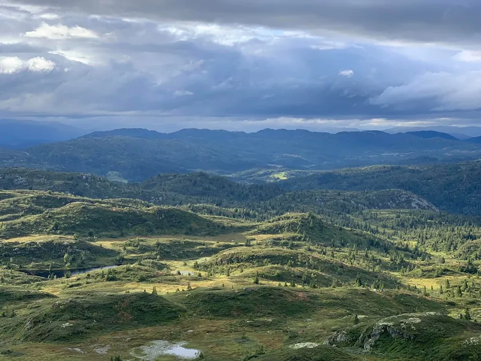
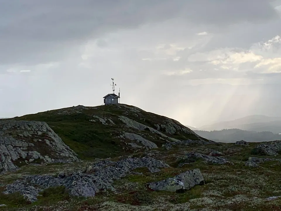
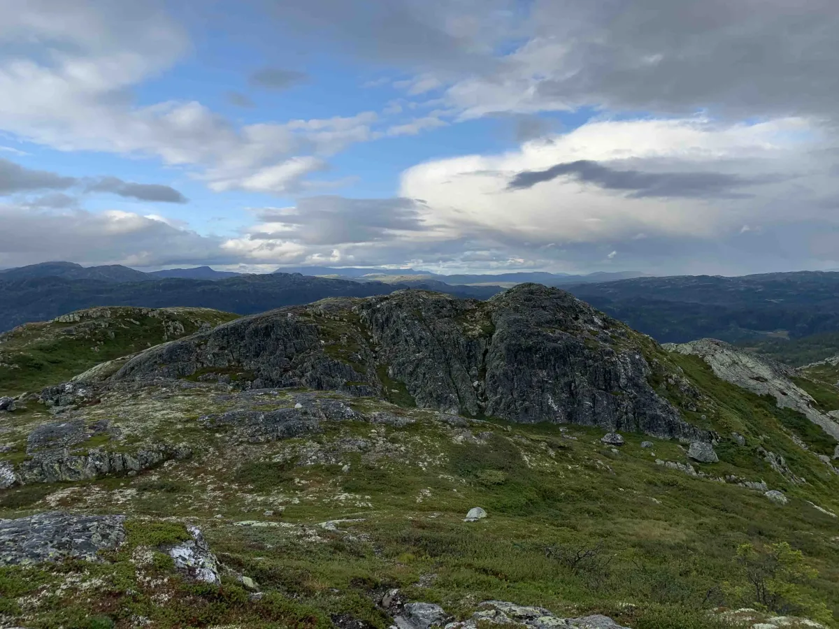
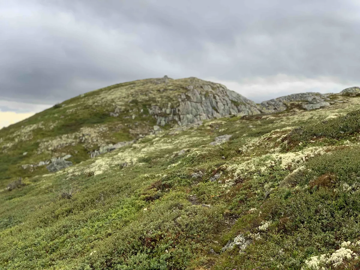
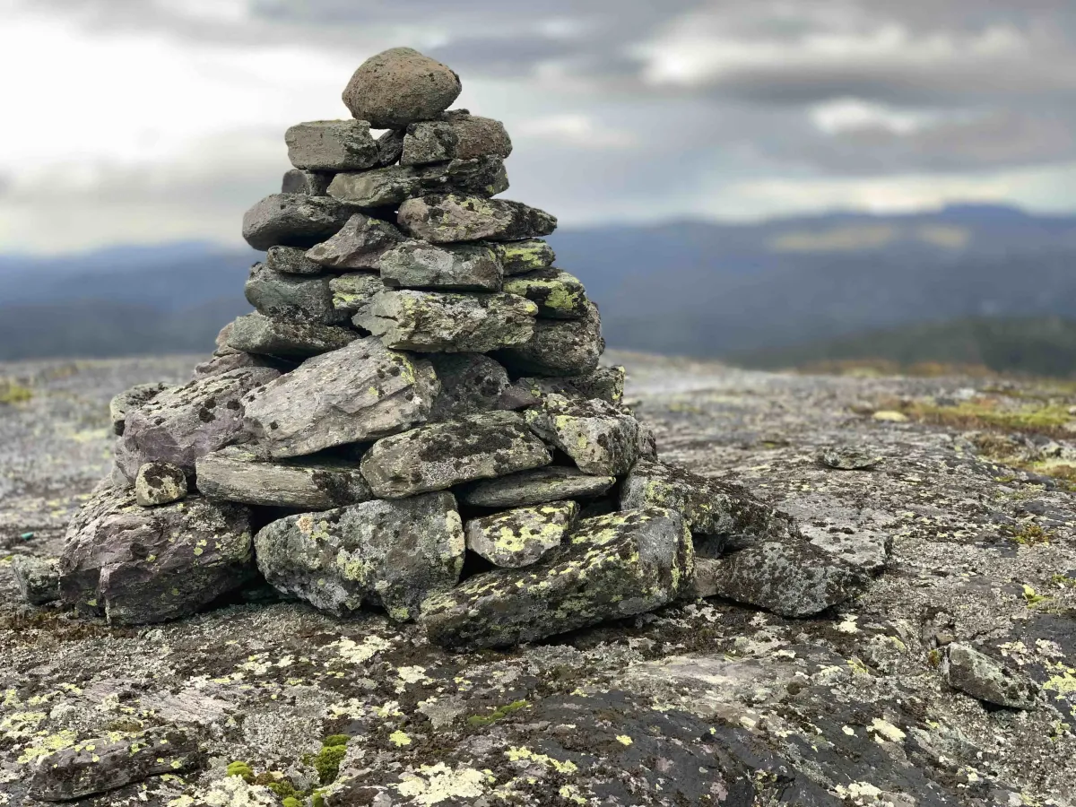
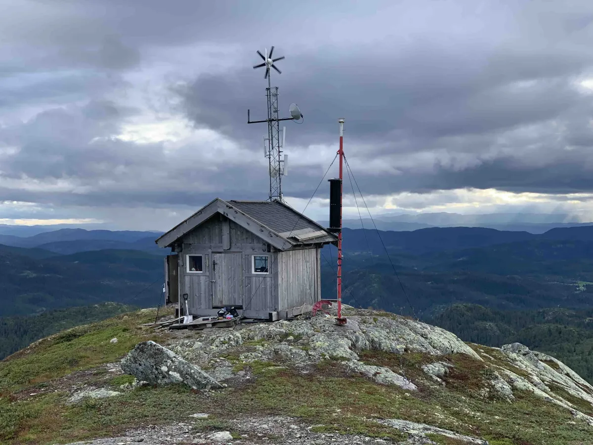
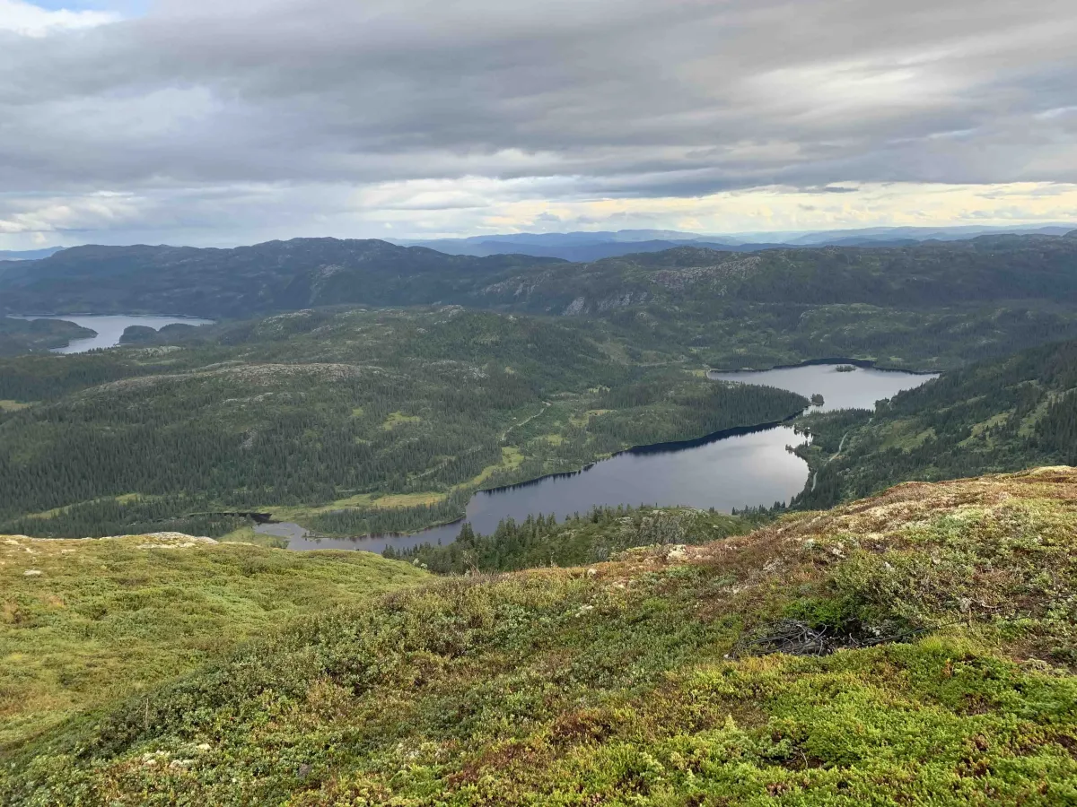
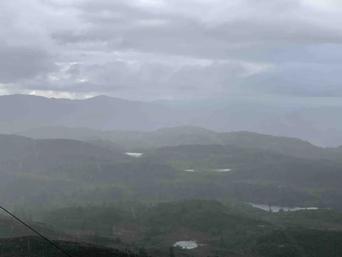
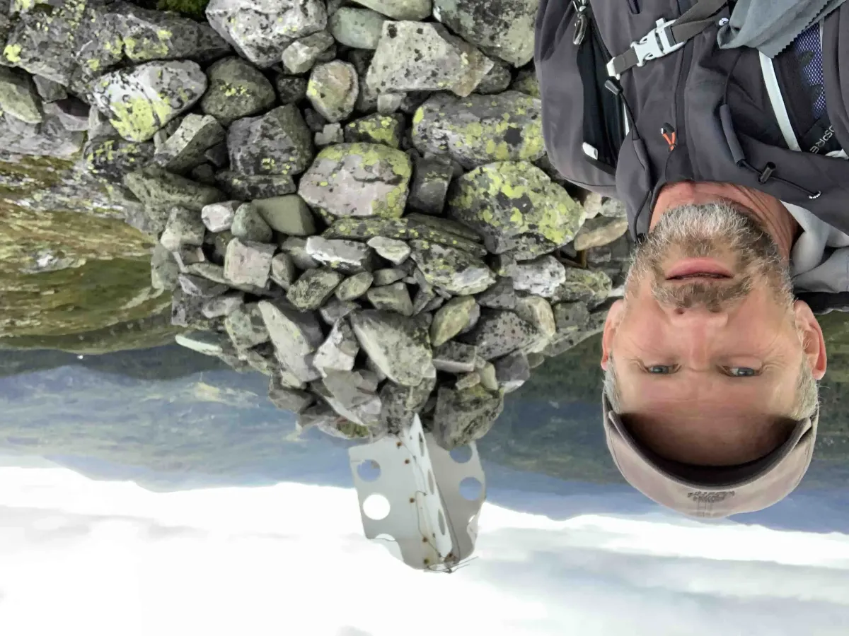
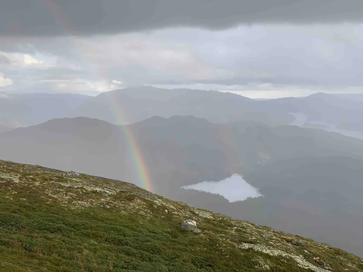
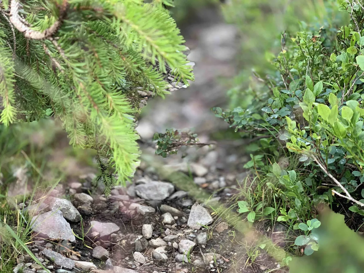
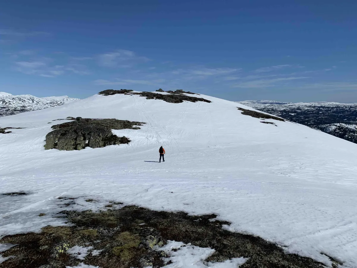
Brenderustfjellet, or Rust, as we say locally. This is a fantastic area with a peak at 1166 meters above sea level. Here you can see in all directions. Towards Sundsbarmvatnet and Nord-Skorve, Brattefjell and Gausttoppen or towards Ordalsåta and inwards. The hike is quite steep, with 550 meters of ascent in 2.5 km. Even though it's short, it can be hard to walk. If you have the energy and warmth, this is a great hike for the whole family, with both views and challenges. Lots of great points to walk on. Check the alternative route in blue on the map.
Photos (4)

1 / 4
Videos (1)
Rustkevær på Rust
User photos (11)
1 / 11
Practical info
- Direction
- tur-retur
- Season
- Summer
- Trail quality
- 3/5
- Solitude
- 5/5
Got any good trail tips?
Langlim
Telemark
fintur.no
Telemark
fintur.no