Sandnut
Weather forecast
Hentar vêrdata…
Kjelde: Yr.no (Meteorologisk institutt)
Map and route
S Start
M Finish
▲ Highest point
▼ Lowest point
km Main route
km Alternativ rute
↕ m Elevation
About this hike
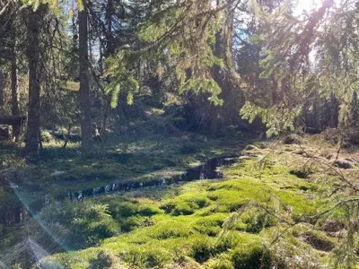
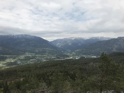
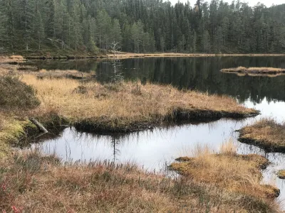
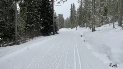
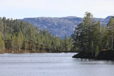
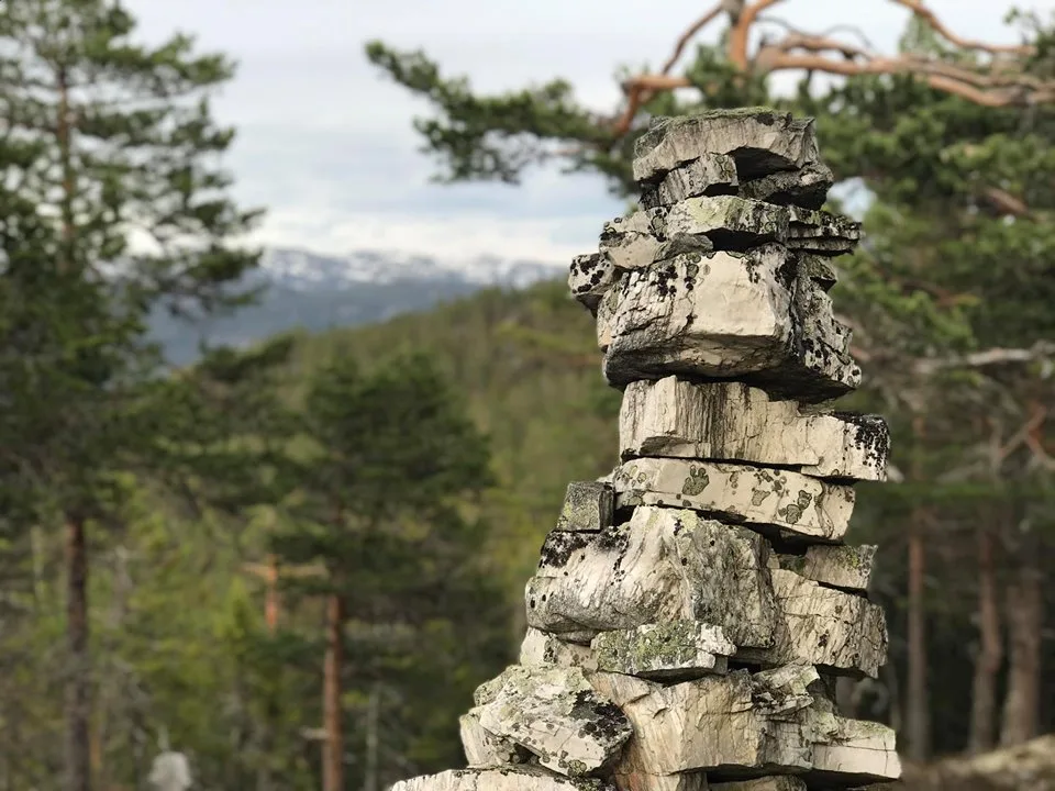
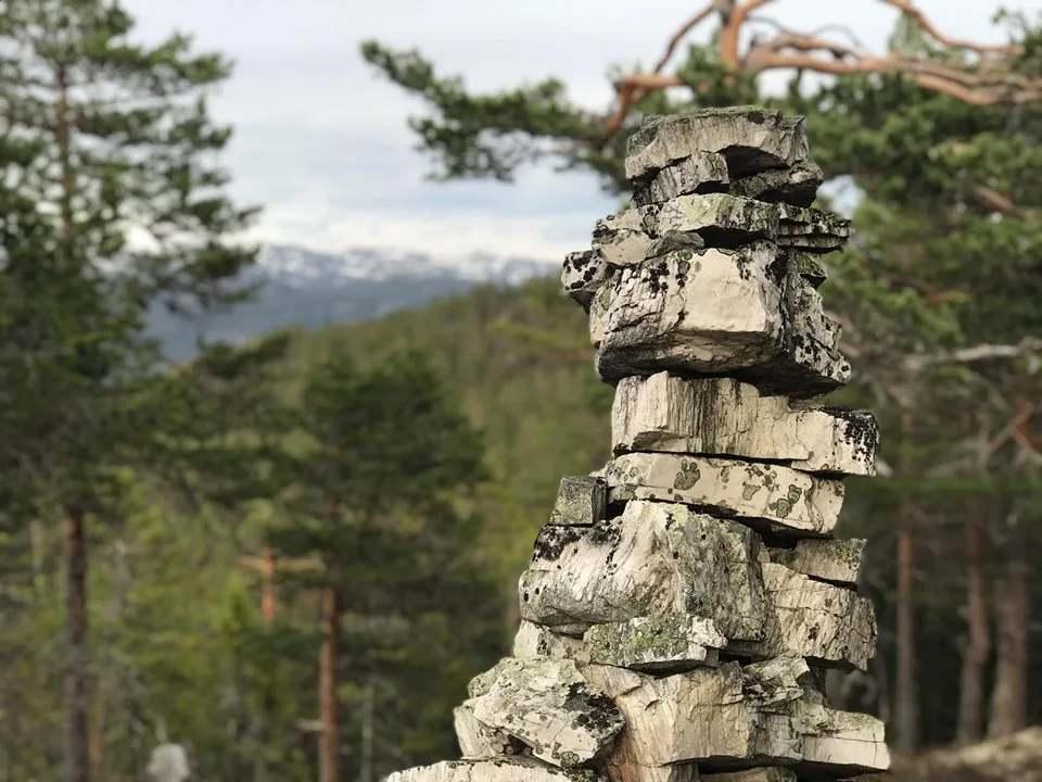
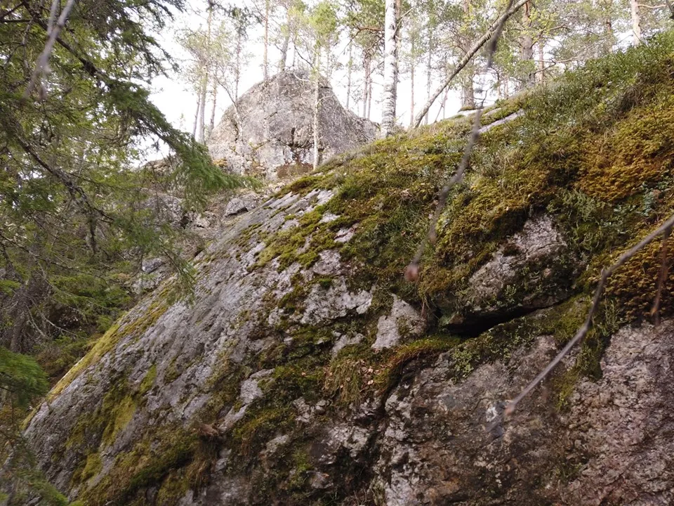
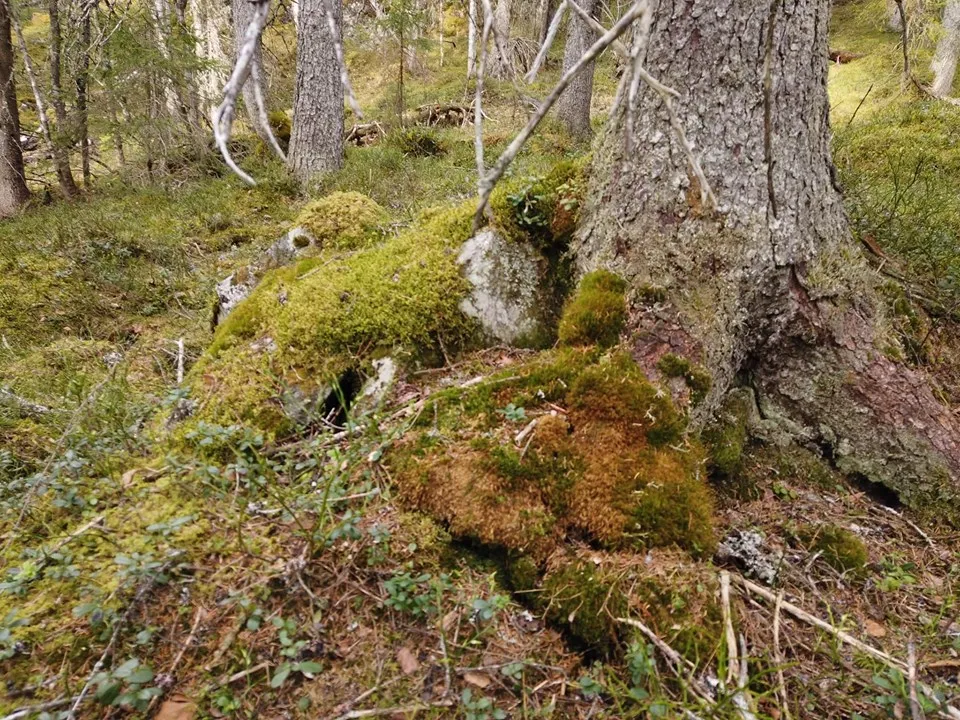
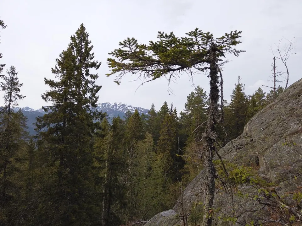
Sandnut (602 m) lies roughly parallel to Årnoteren on the opposite side towards Seljordsvatnet. This is a super short hike (from the Raudkeliv parking lot) in beautiful forest terrain. If you want to go further, just follow the nutane and turn in towards Havretjønn at the end.
Photos (4)
1 / 4
Videos (1)
Skogsvandring
Practical info
- Direction
- tur-retur
- Season
- Summer
- Trail quality
- 1/5
- Solitude
- 3/5
Got any good trail tips?
Seljord
Telemark
fintur.no
Telemark
fintur.no