Skuggelifjell
Weather forecast
Hentar vêrdata…
Kjelde: Yr.no (Meteorologisk institutt)
Map and route
S Start
M Finish
▲ Highest point
▼ Lowest point
km Main route
km Alternativ rute
↕ m Elevation
About this hike
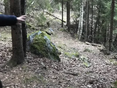
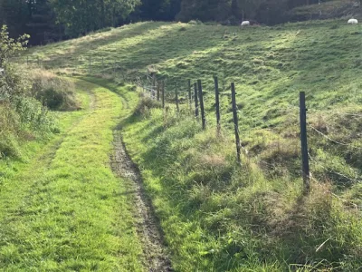
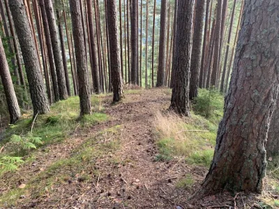
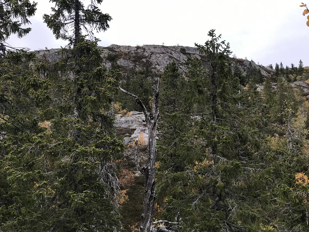
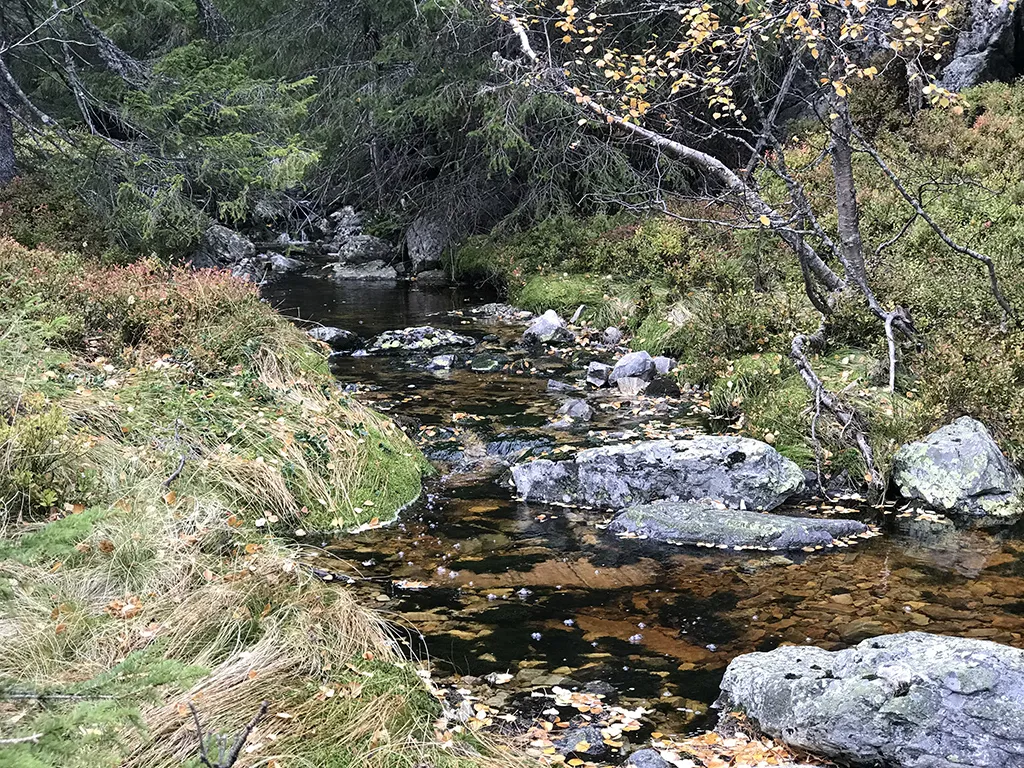
This hike starts from Bråten and has the same route as Hattefjell. You pass the junction to Hattefjelltoppen and continue inwards. You will see Skuggeligfjell on your left. The trail is well marked with rudder. Take a map or GPS/mobile phone with you and you will see the shortest route up to the top of Skuggelinatten at 942 meters. Ascent of 912 meters from the starting point down in Seljord. The summit is somewhat behind. Then you look down into the valley at the back. At the front there is also a great view, but it's a bit further down than the actual summit where the mailbox is located.
Photos (1)
Practical info
- Direction
- tur-retur
- Season
- Summer
- Trail quality
- 3/5
- Solitude
- 5/5
Got any good trail tips?
Seljord
Telemark
fintur.no
Telemark
fintur.no