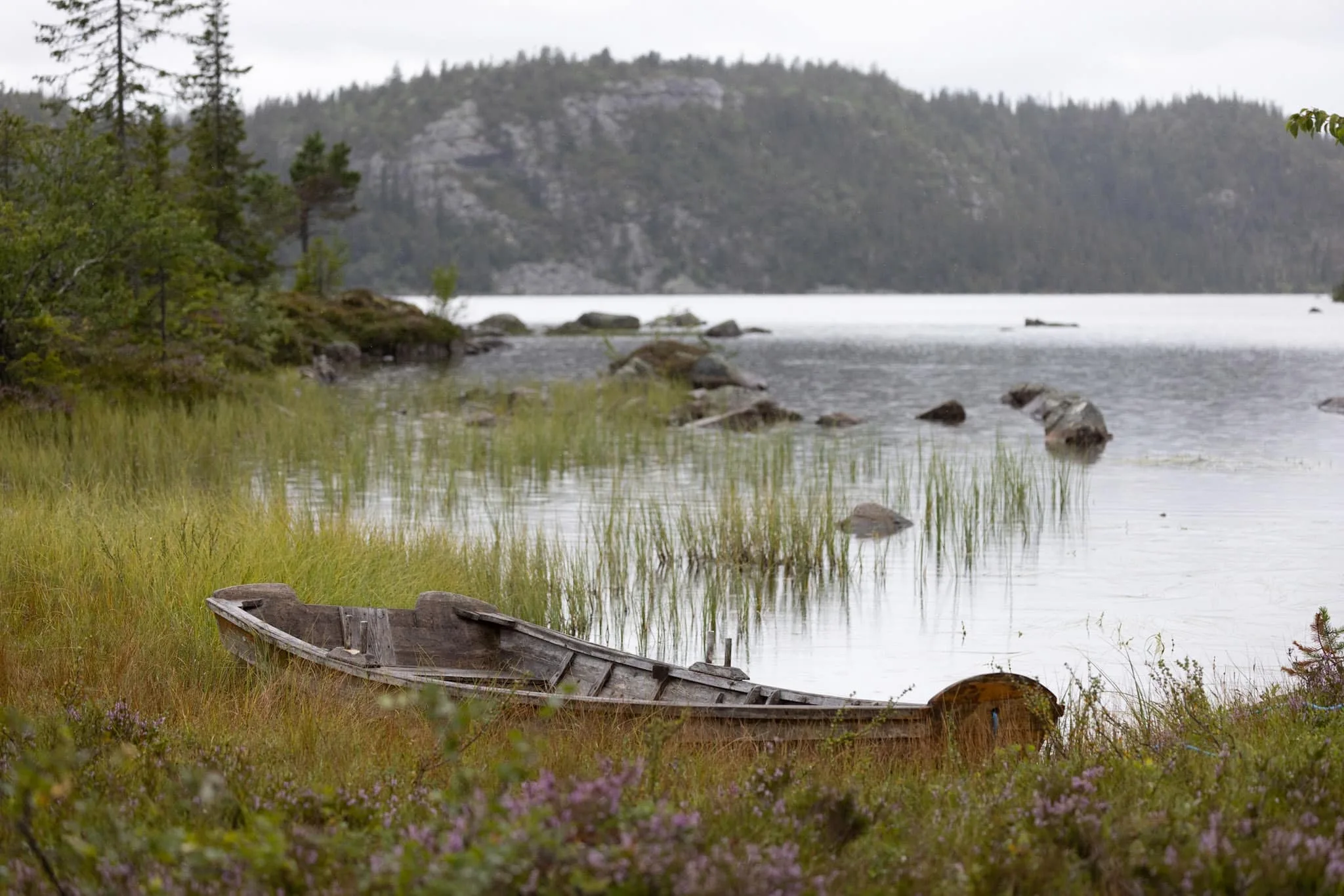
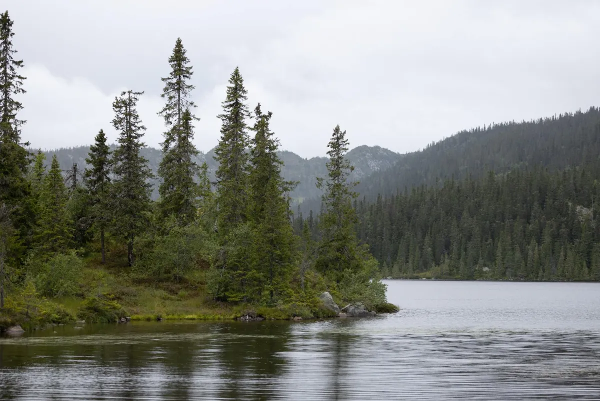
Ståldalsvatnet
Weather forecast
Hentar vêrdata…
Kjelde: Yr.no (Meteorologisk institutt)
Map and route
S Start
M Finish
▲ Highest point
▼ Lowest point
km Main route
↕ m Elevation
About this hike
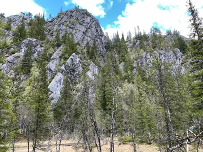
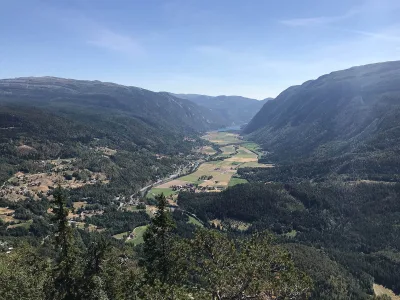
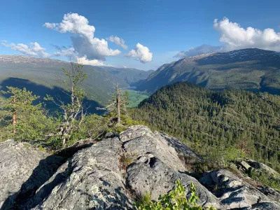
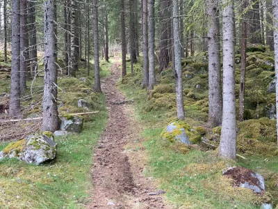
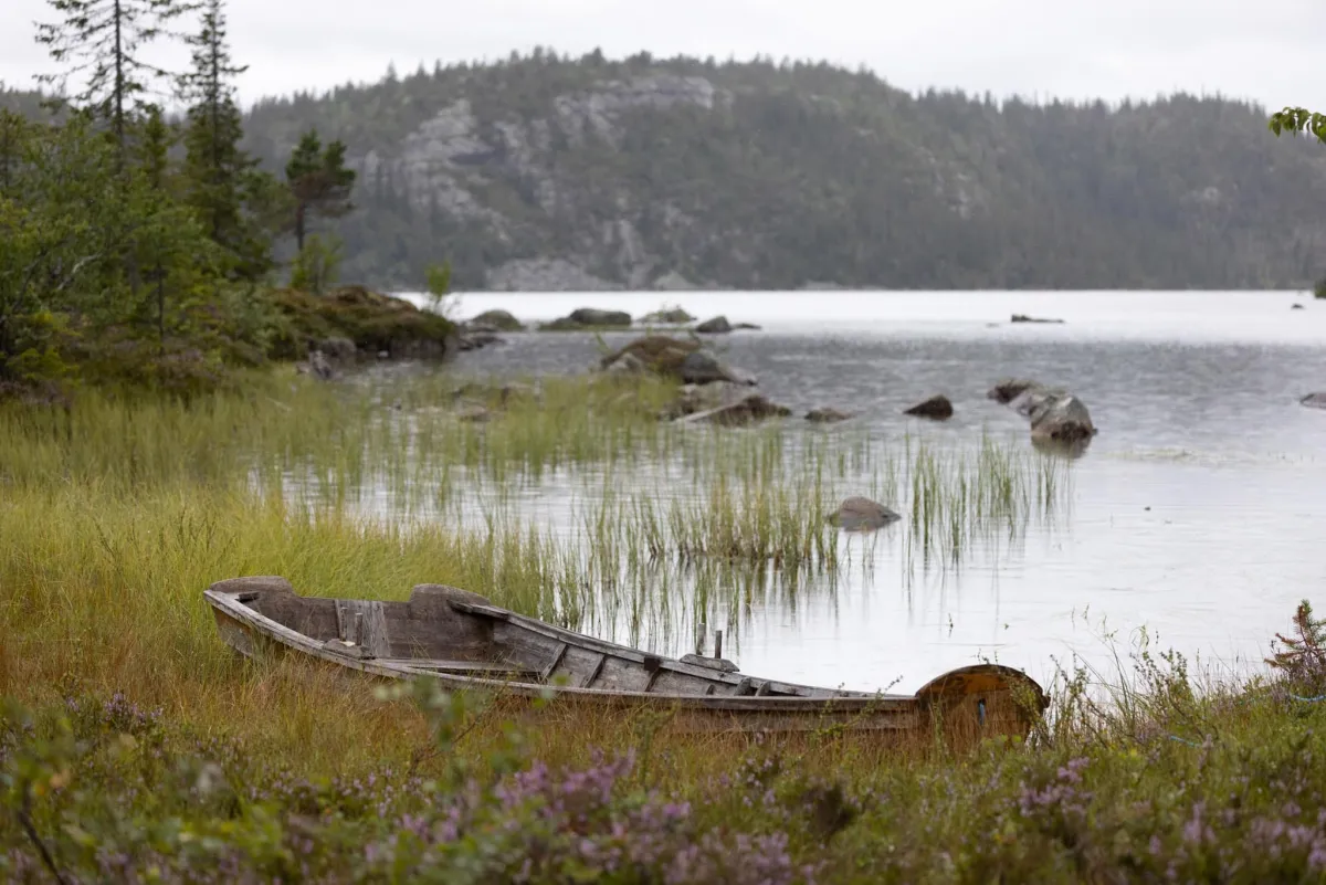
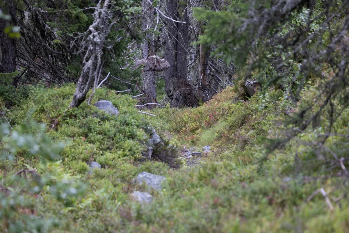
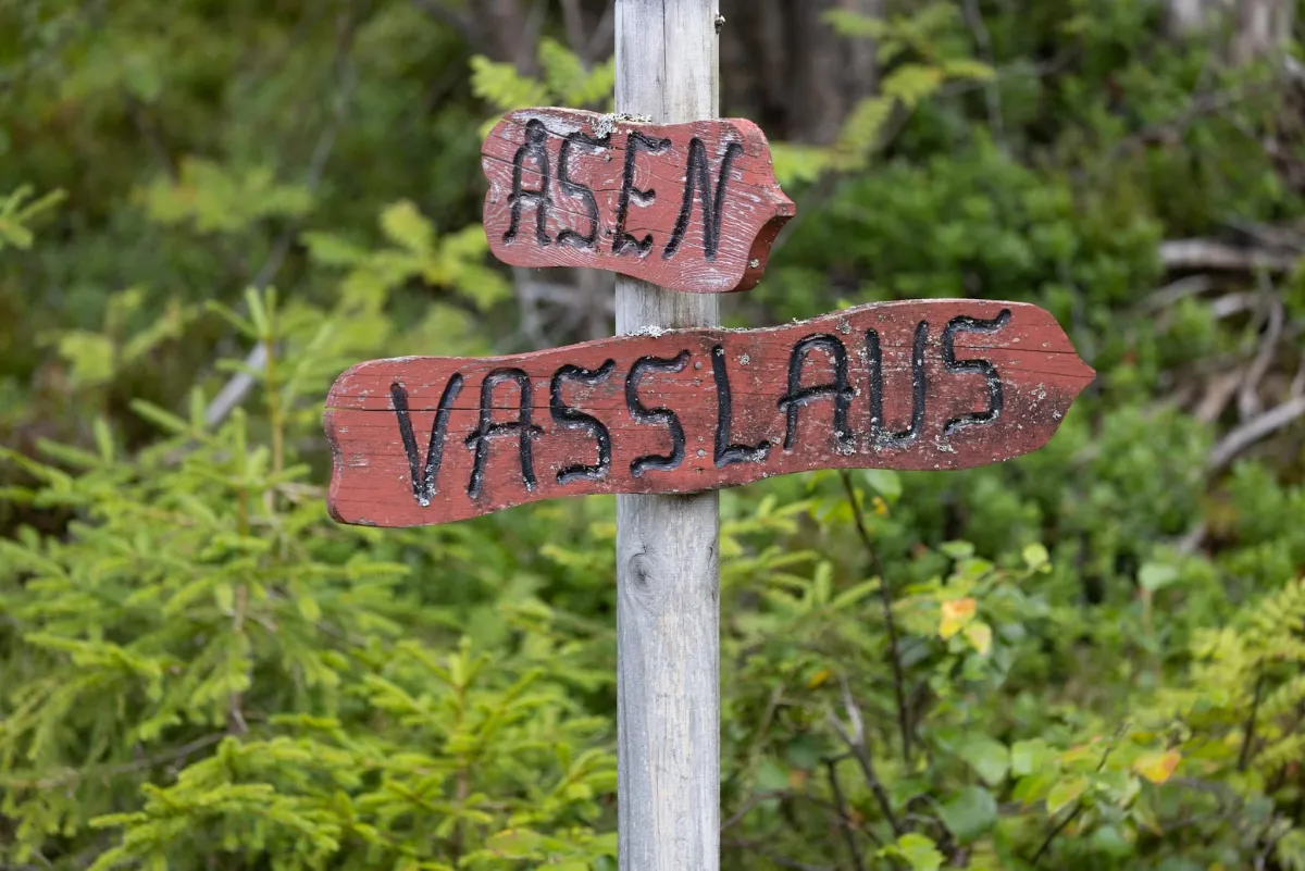
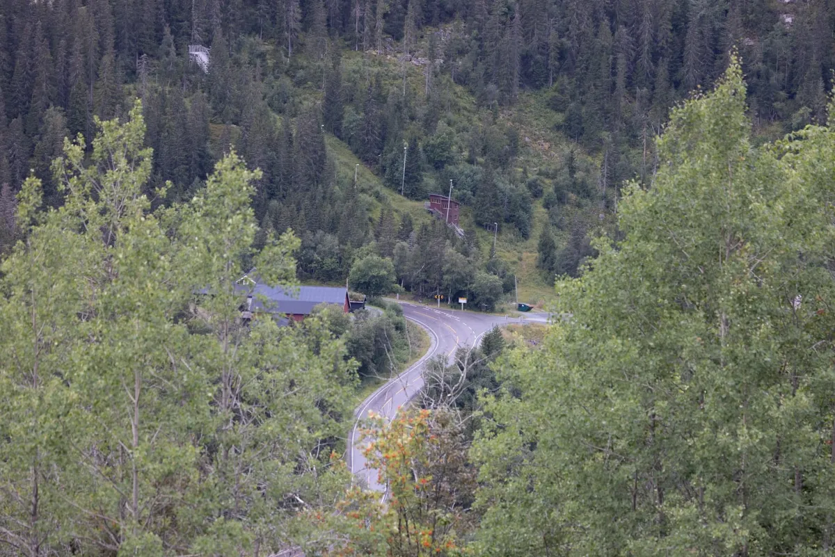
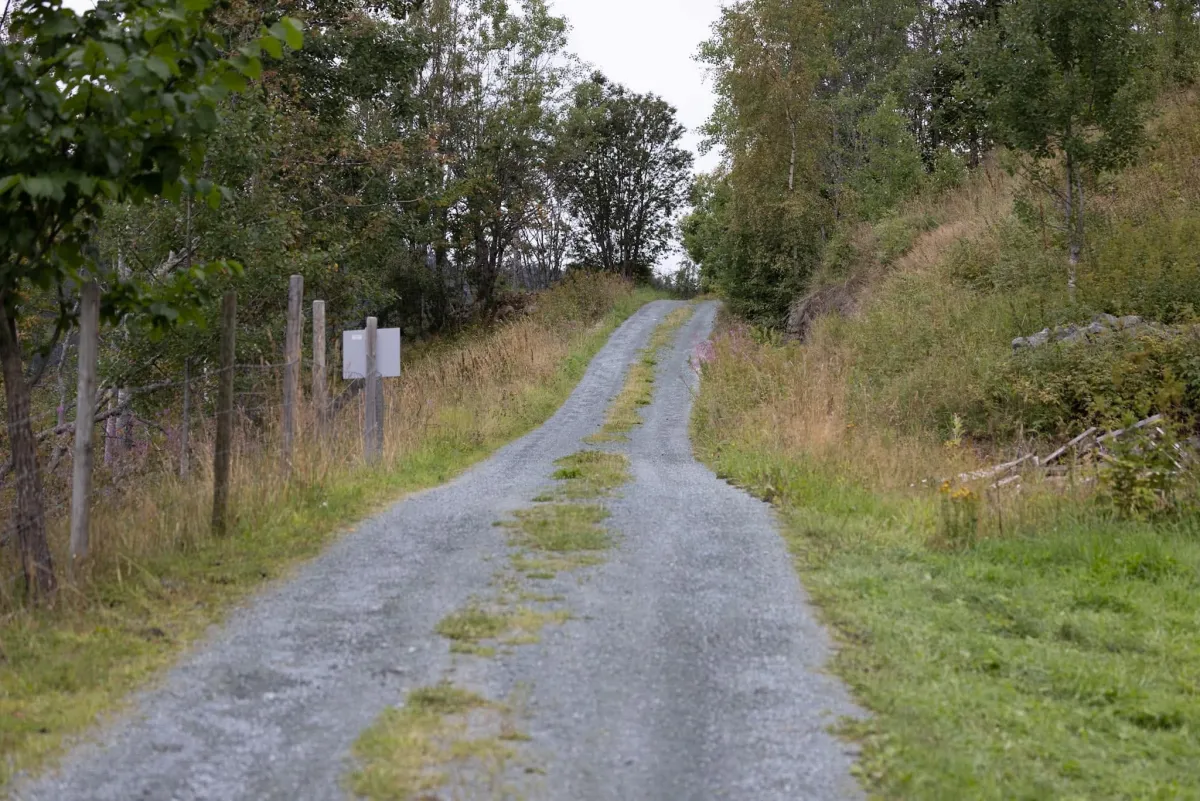
Nice hike to Ståldalsvatnet from Svartdal. There is great nature up in the heaths in Svartdal towards Hjartdal. If you take the hike up from Bleka øvre, you'll find good trails and cleared paths up towards Åsmyrdalen via the tuften on Ormmyrstaulen. There are around 200 meters of ascent up to the marshes and a total of 480 meters. You arrive at Ståldalsvatnet. A beautiful forest lake that has the municipal boundary in the middle of it. Continue along the edge of the lake towards Brennun, where you are on the Hjartdal side. You can walk down towards Ambjørndalen towards "Åsen", on the path down into the cutting there. Easy to walk, but somewhat uneven with grass and bushes. Down on the road, you can continue towards "Vasslaus" to get back to Bleka. Below "Sveveli" and past "Teigen" and over "Kåsi" to Bleka suddre, to walk the road back to Bleka øvre. Fun to be in new areas! There will be more up here! The hike is 8.8 km and takes 2-3 hours
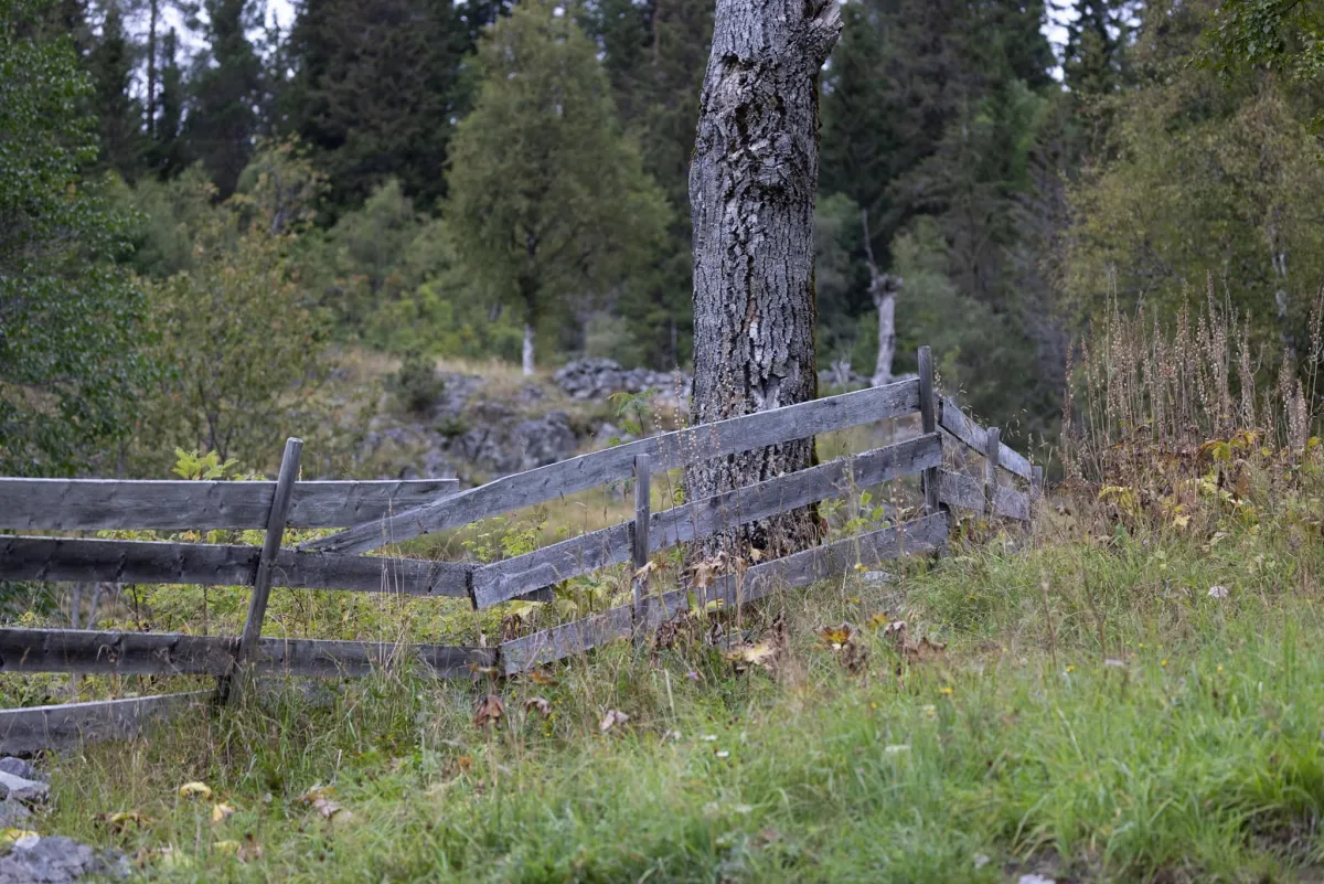
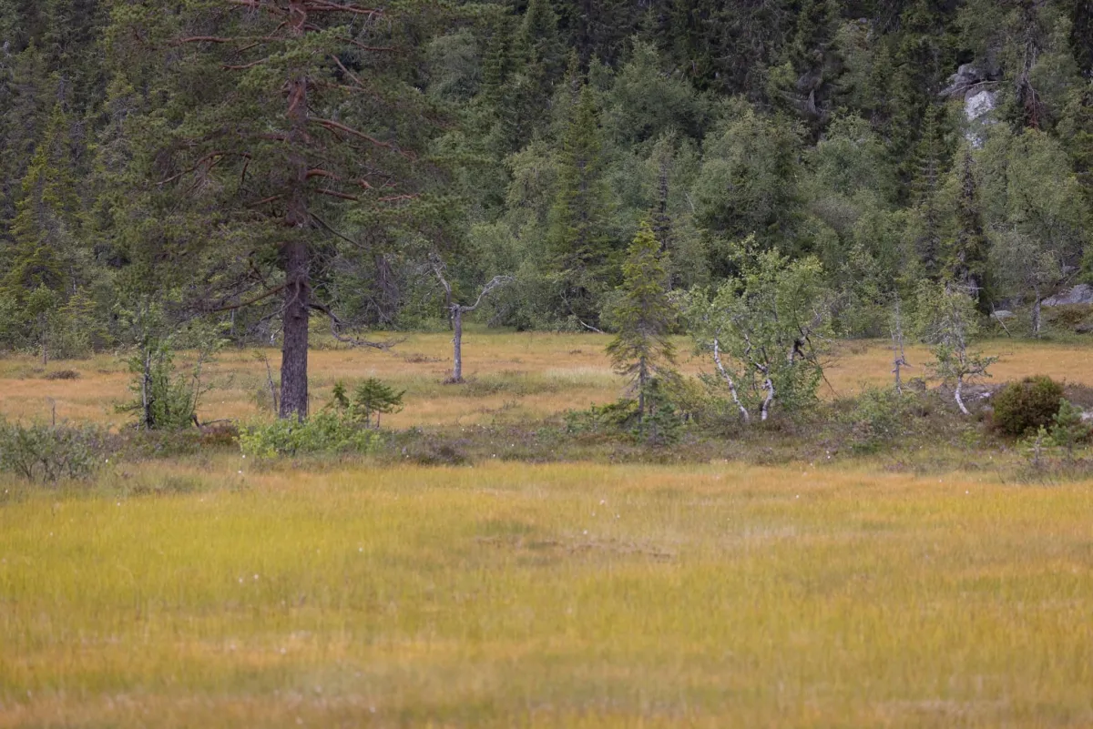
Photos (9)
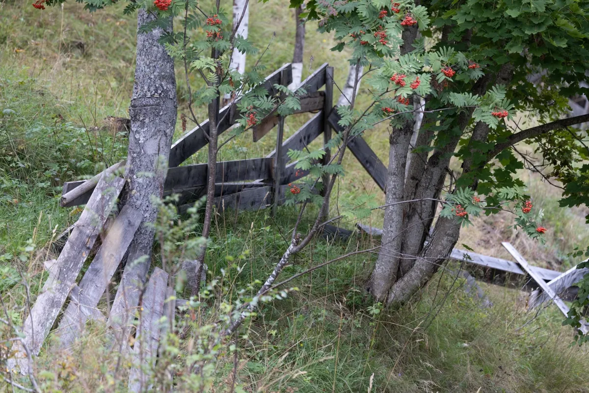
1 / 9
Practical info
- Direction
- rundtur
- Season
- Summer
- Trail quality
- 3/5
- Solitude
- 5/5
Got any good trail tips?
Svartdal
Telemark
fintur.no
Telemark
fintur.no