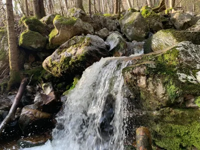
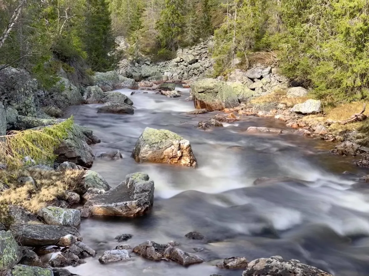
Svarvarbekken

Weather forecast
Hentar vêrdata…
Kjelde: Yr.no (Meteorologisk institutt)
Map and route
S Start
M Finish
▲ Highest point
▼ Lowest point
km Main route
↕ m Elevation
About this hike
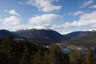
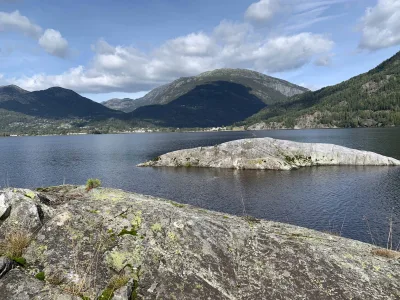
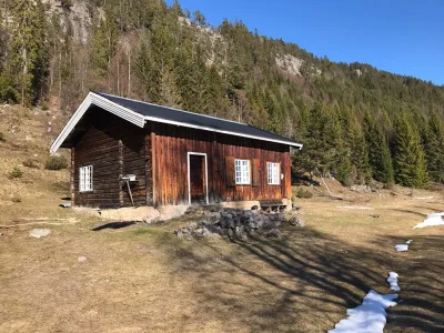
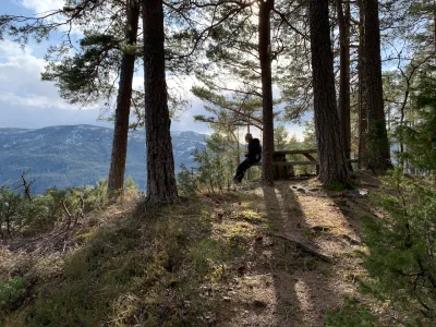
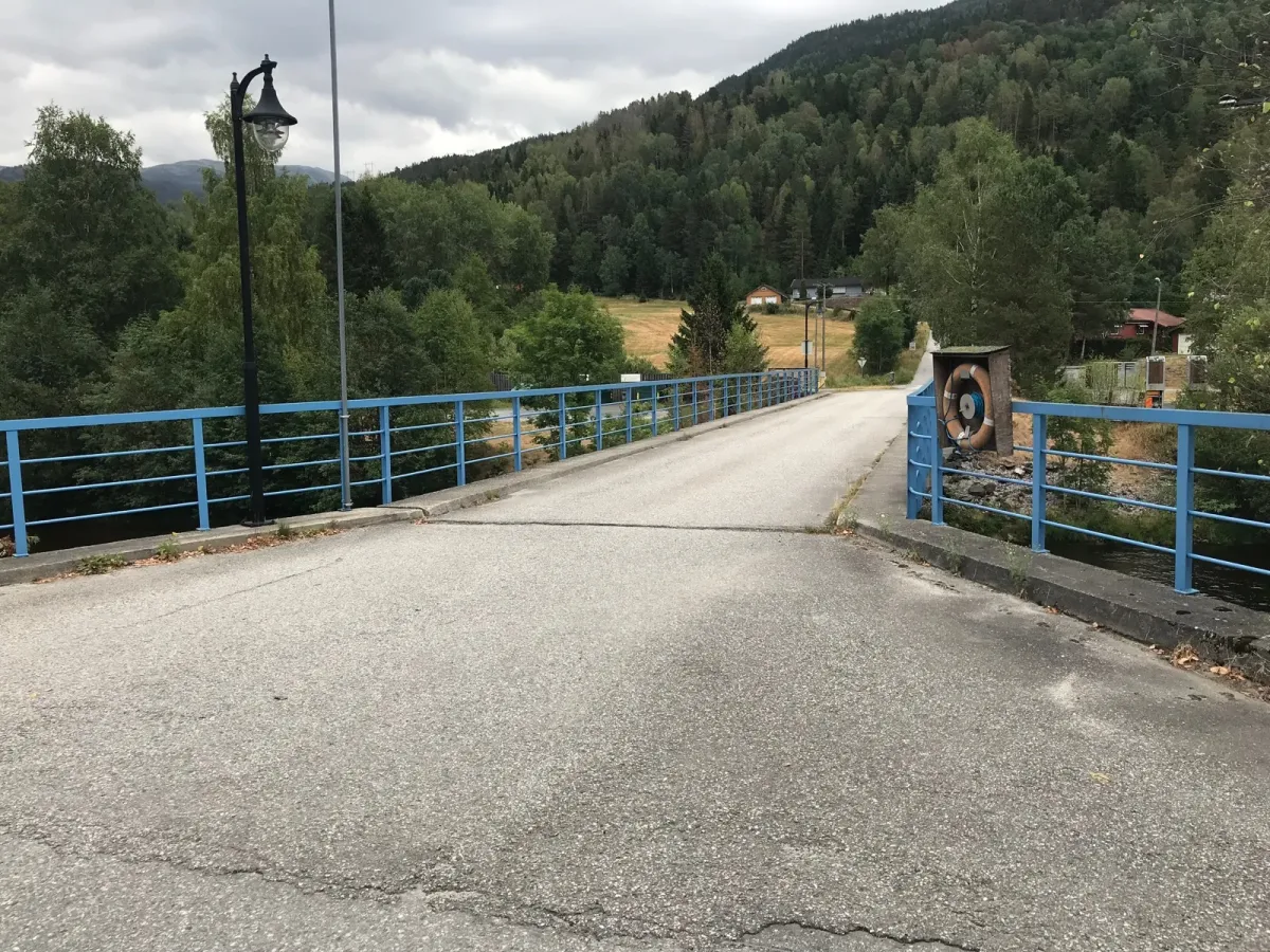
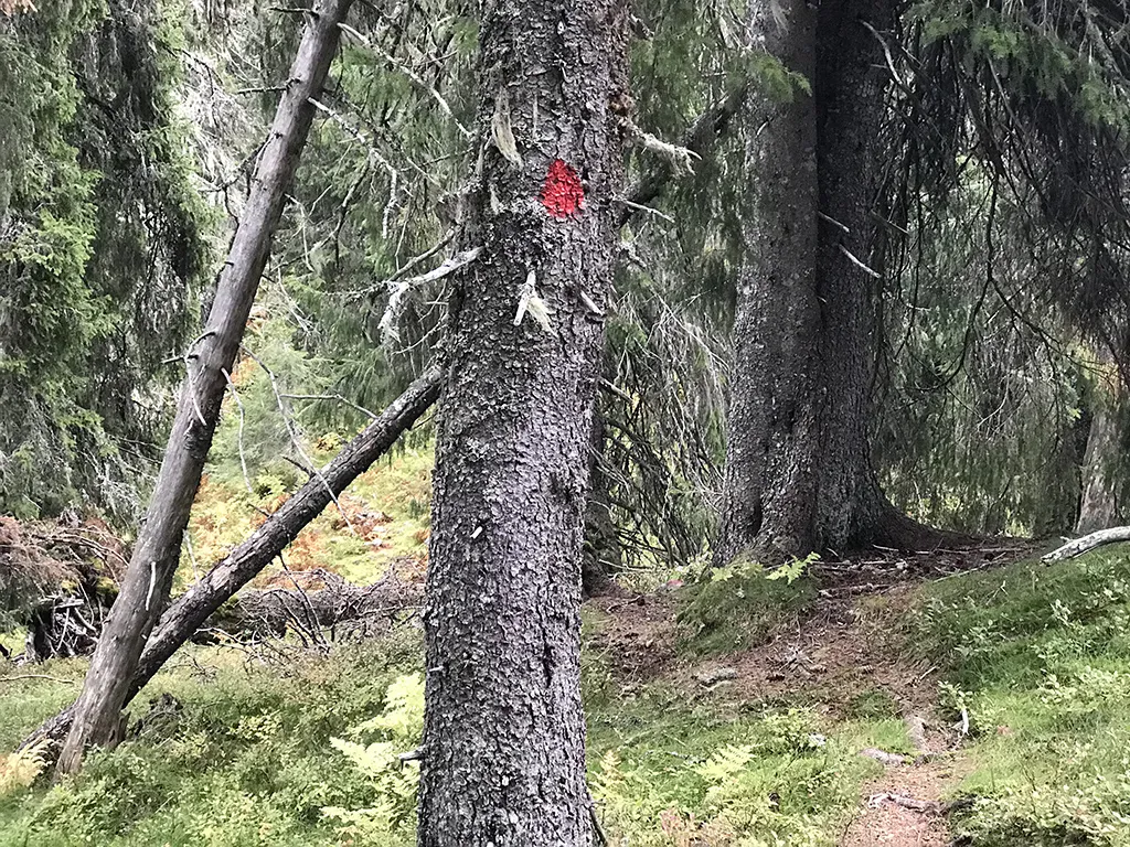
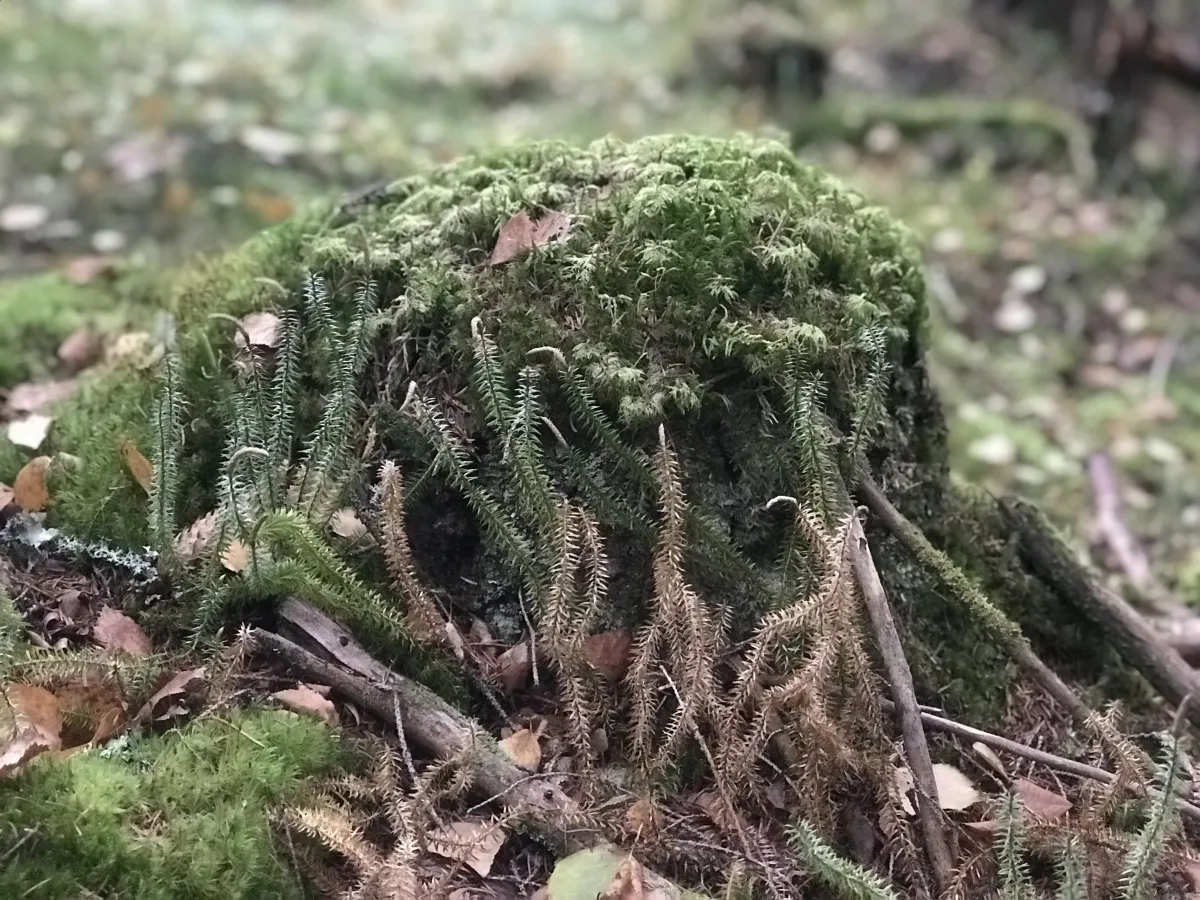
Svarvaren on Møsasida. There is a road/trail along Svarvarbekken. It starts at Svarvaren down by Seljordsvatnet and goes up to Havretjønn. The first kilometer goes through an older hay field in a tractor-trailer, before it becomes a path and old community road up by Stridsflåt after Fisbu. It's steep up here. Perhaps steeper than you might imagine. 500 meters of ascent in 2.5 km is steep enough. It hasn't melted in the forest up in Havretjønndalen. But it takes its toll. I walked up towards Sandnut and followed the ridge down again. It's steep and rugged here, but you can get there if you take it easy. From here you have a good, and somewhat unusual, view towards Skorve. There are also good views towards Bjørefjell and Mælefjell. Seljordsvatnet is easy to see if you alternate between the two ridges below. Just before the Åsen homestead, you can walk down an old road towards Svarvaren. A great hike with a lot of old and wild forest at the top of the hill.
Photos (4)
1 / 4
Practical info
- Direction
- tur-retur
- Season
- Summer
- Trail quality
- 3/5
- Solitude
- 5/5
Got any good trail tips?
Seljord
Telemark
fintur.no
Telemark
fintur.no