Tjønnefjell
Weather forecast
Hentar vêrdata…
Kjelde: Yr.no (Meteorologisk institutt)
Map and route
S Start
M Finish
▲ Highest point
▼ Lowest point
km Main route
↕ m Elevation
About this hike
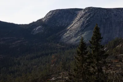
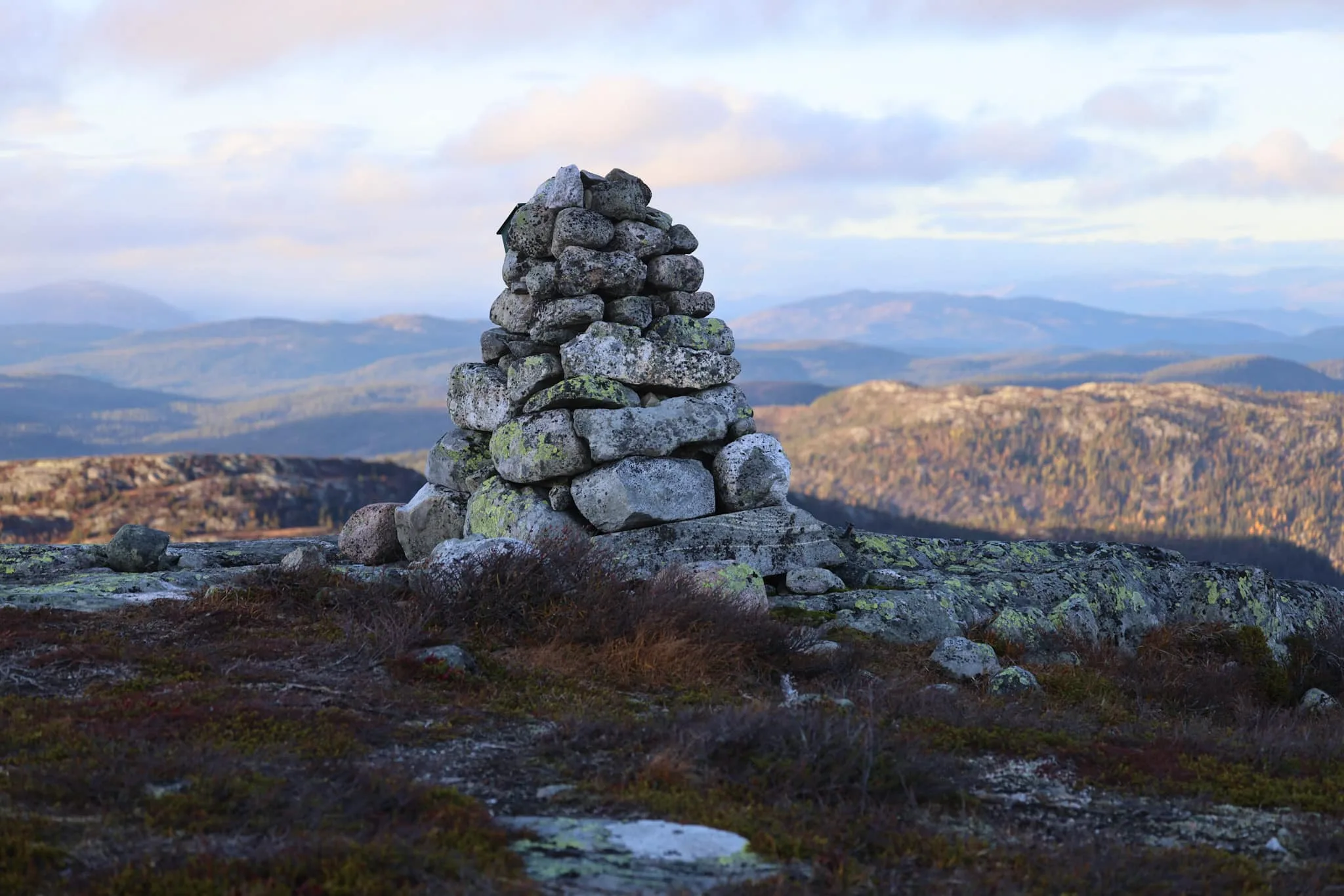
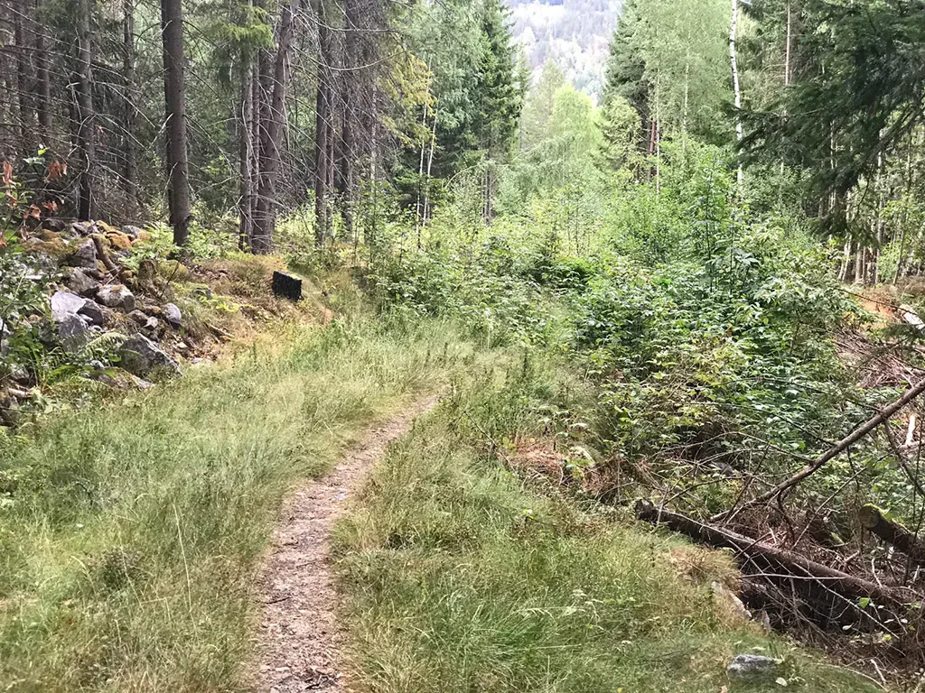
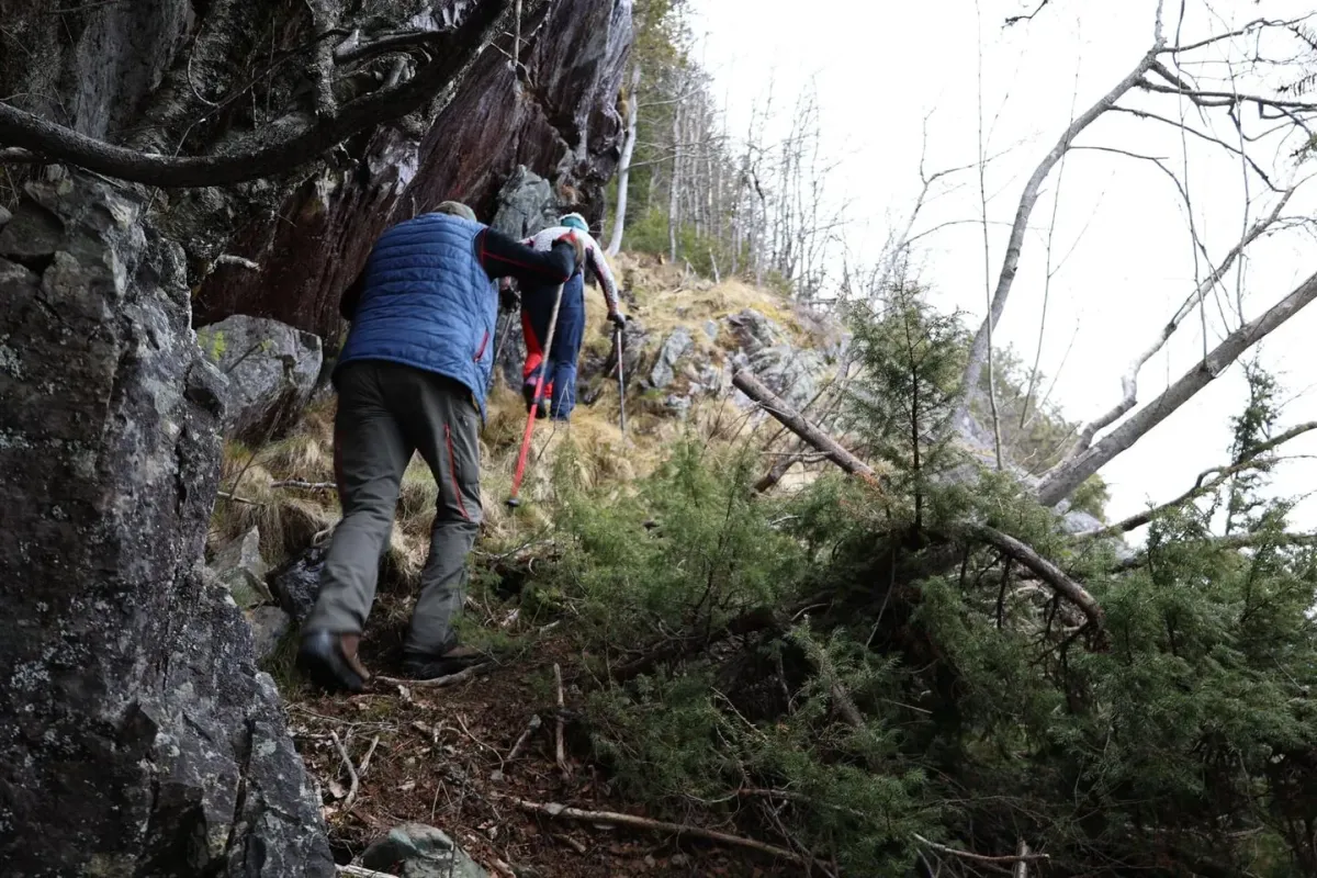
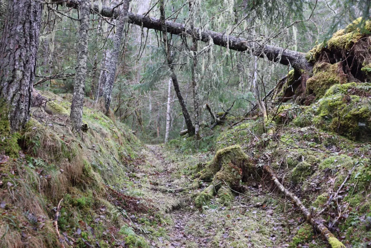
Tjønnefjell is a beautiful and easily accessible hiking destination in Fyresdal, with views of magnificent high mountain terrain and a landscape characterized by tranquility, wilderness and a long history. This is the hike for those who want to experience both a physical challenge and genuine enjoyment of nature - in an area where you rarely meet many others. Tjønnefjell lies in the transition between forest and bare mountain, and is a popular hiking destination for locals in Fyresdal. The peak is 1066 meters above sea level and offers great views of the Skorve massif, Fyresdal town center, and the wide mountain expanses to the west and north - all the way to Setesdal and Hardangervidda in the distance.
Photos (3)
1 / 3
Practical info
- Direction
- tur-retur
- Season
- Summer
- Trail quality
- 3/5
- Solitude
- 6/5
Got any good trail tips?
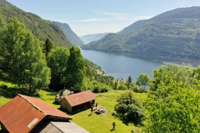
Fyresdal
Telemark
fintur.no
Telemark
fintur.no