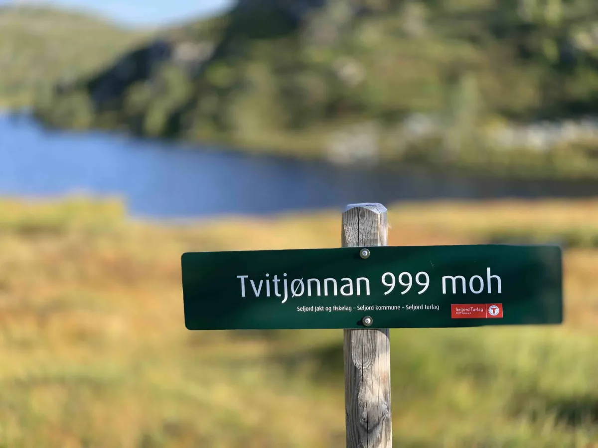
Tvitjønnan
 T
T
Fee
The road or car park has a fee. Bring small change. Some take cards and Vipps.
Weather forecast
Hentar vêrdata…
Kjelde: Yr.no (Meteorologisk institutt)
Map and route
S Start
M Finish
▲ Highest point
▼ Lowest point
km Main route
↕ m Elevation
About this hike
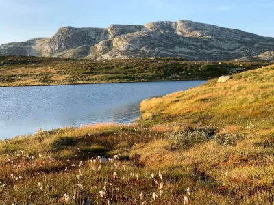
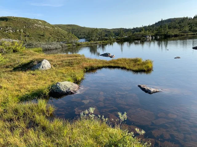
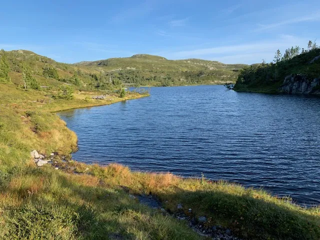
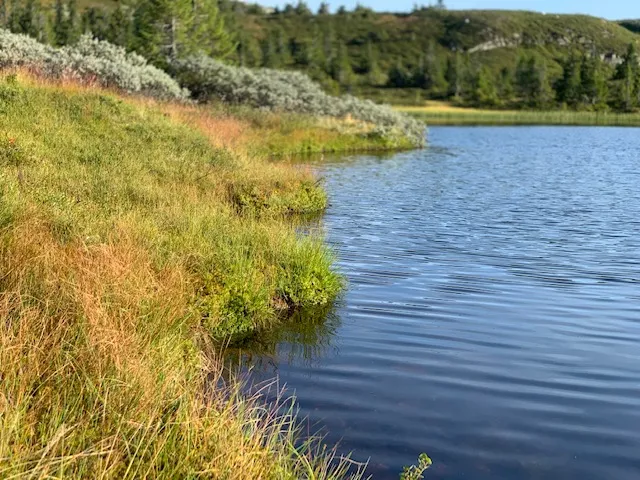
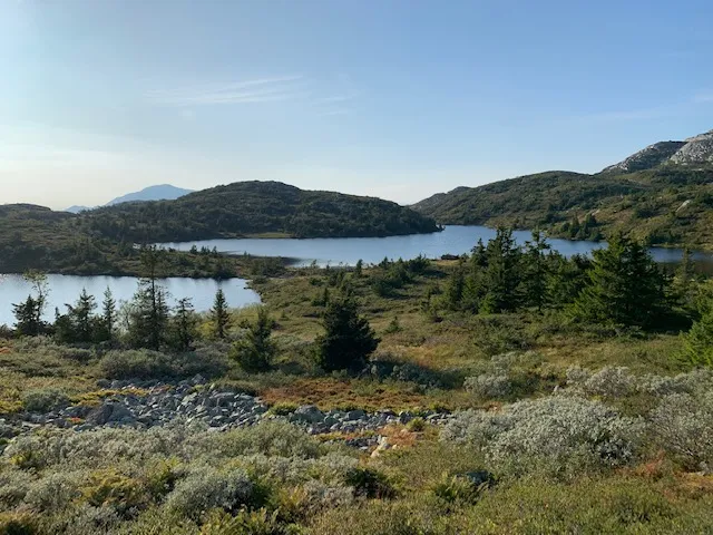
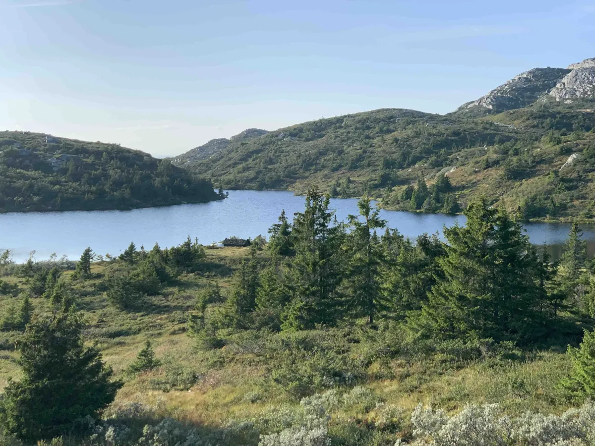
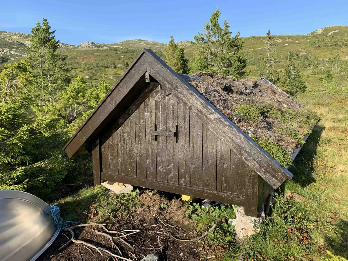
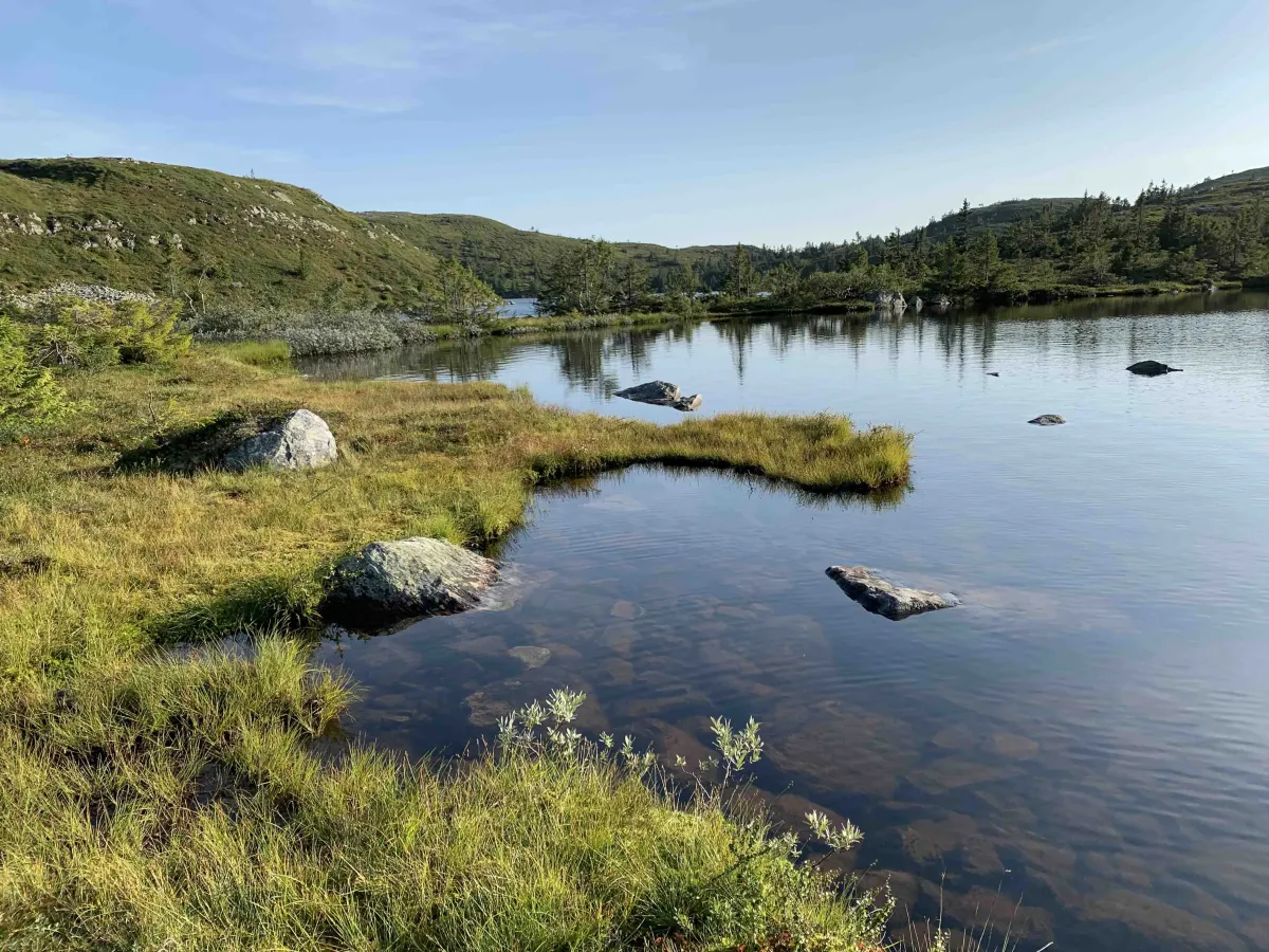
Tvitjønnan is an inviting hiking area on Lifjell, with several small fishing lakes and nice campsites - and only a short walk from the Grimås parking lot.
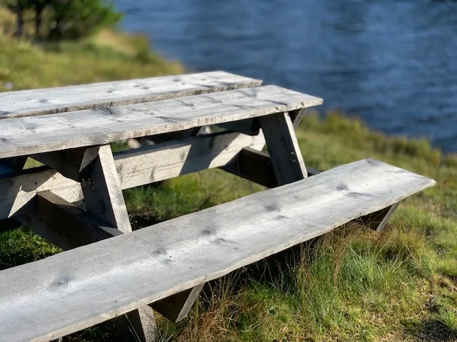
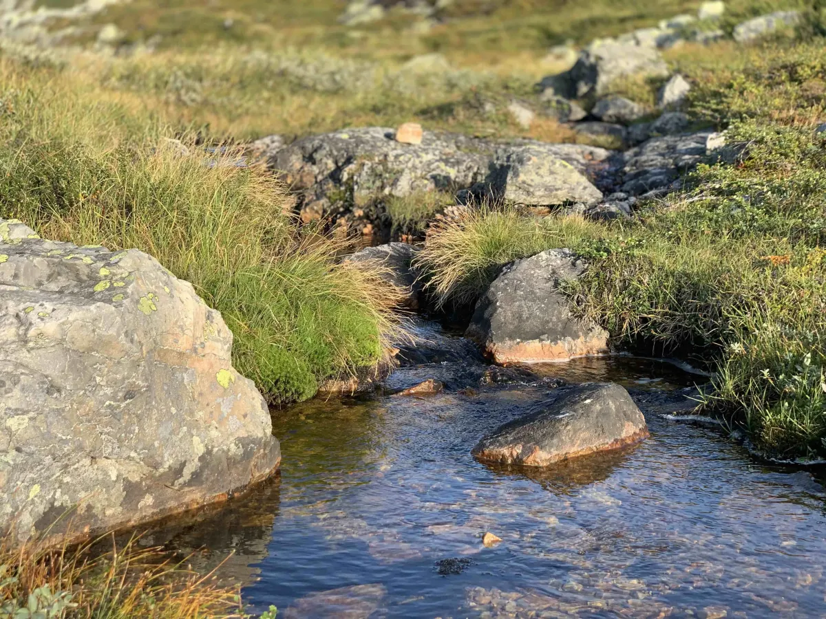
Here you can stroll around in easy mountain terrain and find your own corner by the lake, with opportunities for fishing, swimming and accommodation. Fishing licenses can be purchased, and there are several benches and picnic areas in the area.
The lakes are located in a row in the area:
- Nedre Tvitjønnan,
- Upper Tvitjønnan,
- Gråtjønn,
- Tjørnstaultjønnan,
- Holmetjørn,
- Fjellstaultjønn,
and a little higher up:
- Store Holmetjørn and
- Blomtjørn.
The trip here is suitable both as a short day trip, or as a base for a whole weekend of fishing and camping in the mountains.
Length: Approx. 3-6 km round trip (depending on which water you want to reach)
Time: 1-3 hours
Terrain: Mountain forest, lakes, rocky hills and heather moorland.
Difficulty level: Easy to medium
Suitable for: Families, fishing, camping, low threshold Lifjell experience.
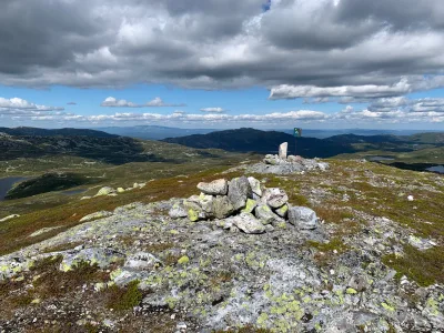
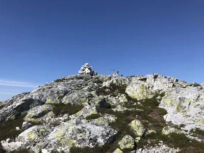
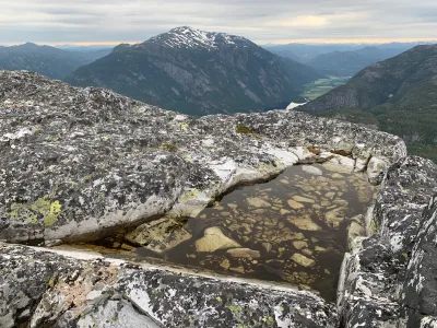
Photos (4)
1 / 4
User photos (5)
1 / 5
Practical info
- Direction
- tur-retur
- Season
- Summer
- Trail quality
- 3/5
- Solitude
- 5/5
Got any good trail tips?
Seljord
Telemark
fintur.no
Telemark
fintur.no