Ubyfjellet

Fee
The road or car park has a fee. Bring small change. Some take cards and Vipps.
Weather forecast
Hentar vêrdata…
Kjelde: Yr.no (Meteorologisk institutt)
Map and route
S Start
M Finish
▲ Highest point
▼ Lowest point
km Main route
↕ m Elevation
About this hike
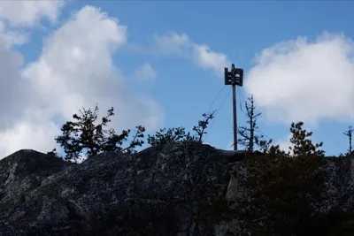
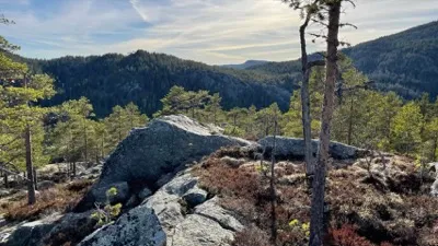
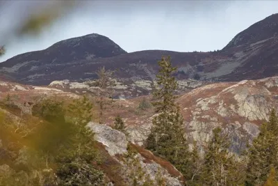
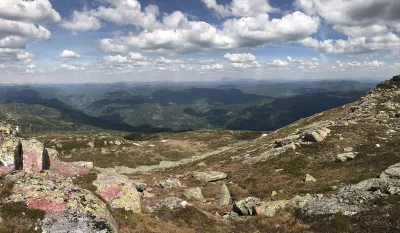
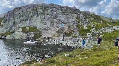
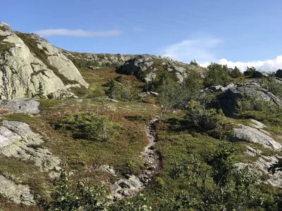
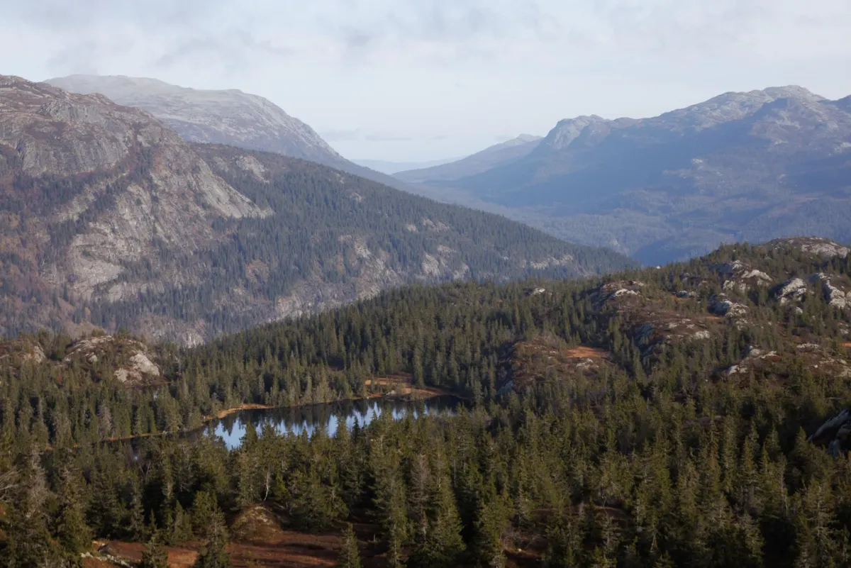
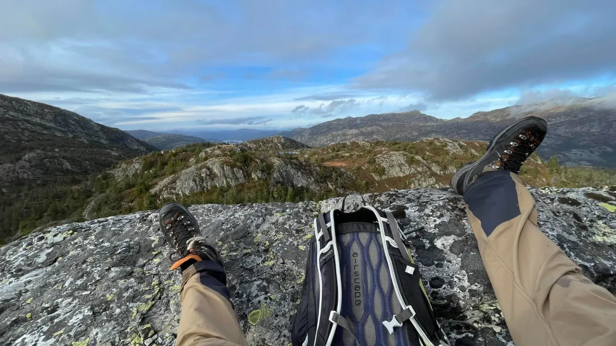
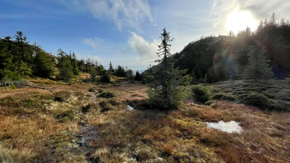
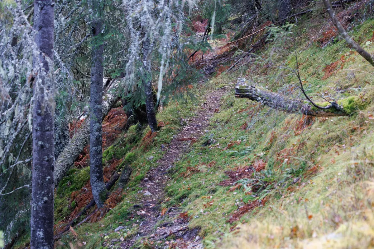
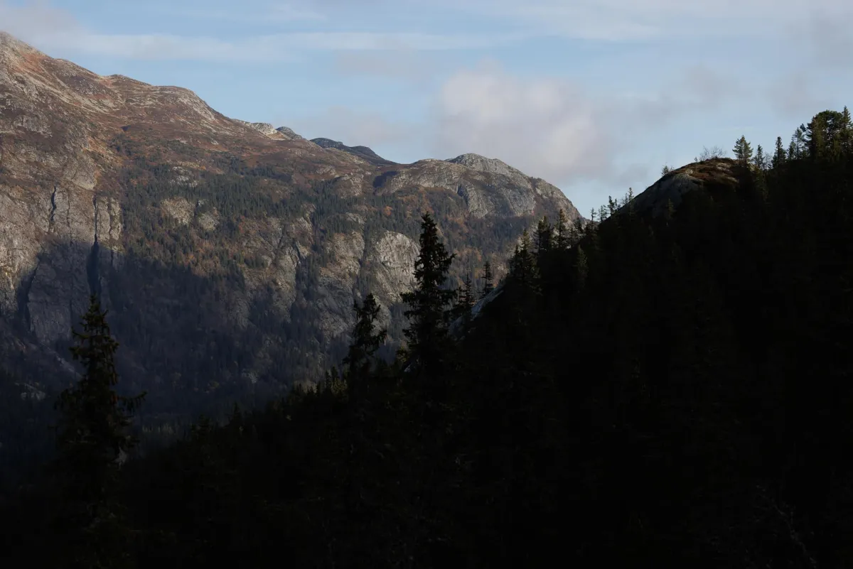
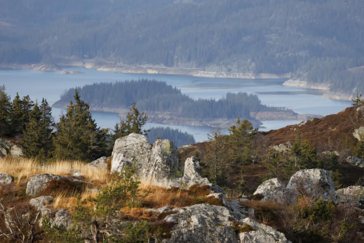
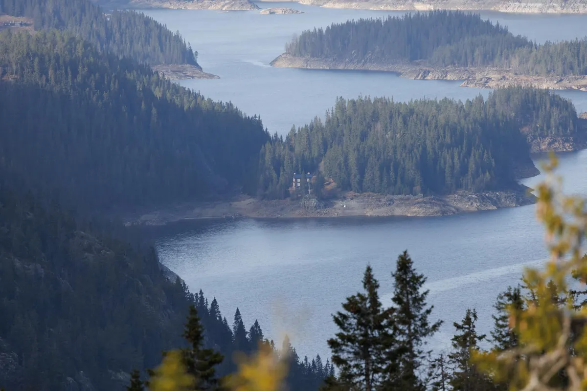
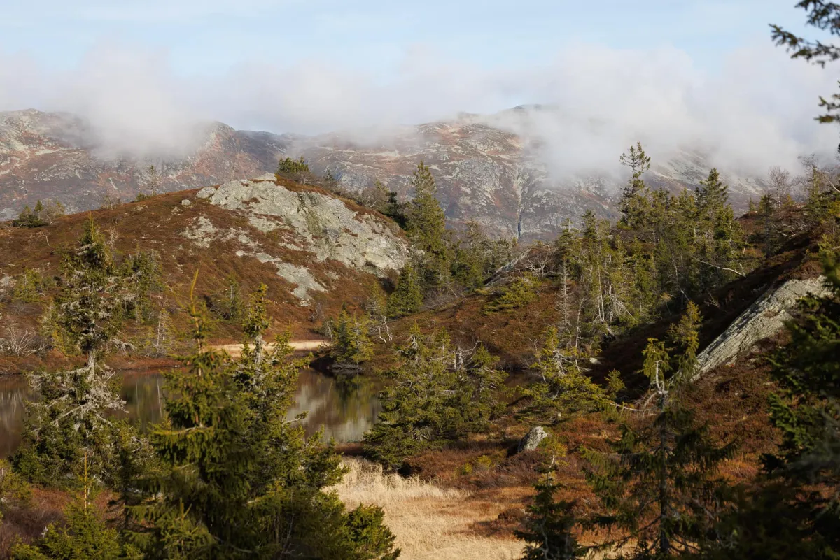
Kvitebekk in Kivledalen is a valley that stretches up to Ubyfjellet and the areas there. The trail up along Kalkjuvet and Herudalen (with a climb of almost 200 m) to Ubyflotan is very nice. After that, there's a lot of up and down. Mountains and small mountains with peaks and valleys. The highest peak is Ubyfjellet, which passes 1000 meters by 2 meters. You can walk forward to Skautjønnfjellet (972 m) and up to a good view of Seljord, just above Kyrkjeberget. You can walk home via Skuggeli to Tjørnstaul. This is a long and good circular trail. In total, the route is 12.3 km with an ascent of 787 m. (On the map it says Kvilebekk, which is incorrect. Thank you for the corrections Olav Kåsa and Ole Jonny Tresland Vala)
Photos (9)
1 / 9

Practical info
- Direction
- tur-retur
- Season
- Summer
- Trail quality
- 2/5
- Solitude
- 6/5
Got any good trail tips?
Seljord
Telemark
fintur.no
Telemark
fintur.no