Urdevatnar
Fee
The road or car park has a fee. Bring small change. Some take cards and Vipps.
Weather forecast
Hentar vêrdata…
Kjelde: Yr.no (Meteorologisk institutt)
Map and route
S Start
M Finish
▲ Highest point
▼ Lowest point
km Main route
↕ m Elevation
About this hike
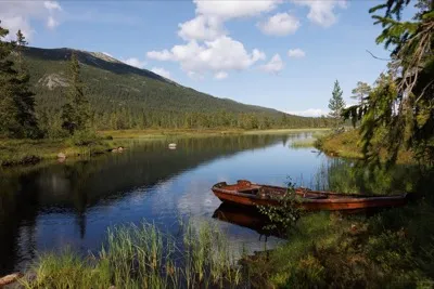
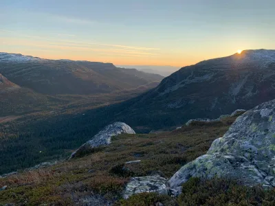
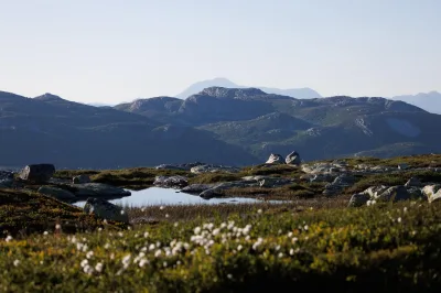
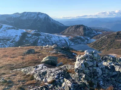
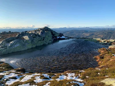
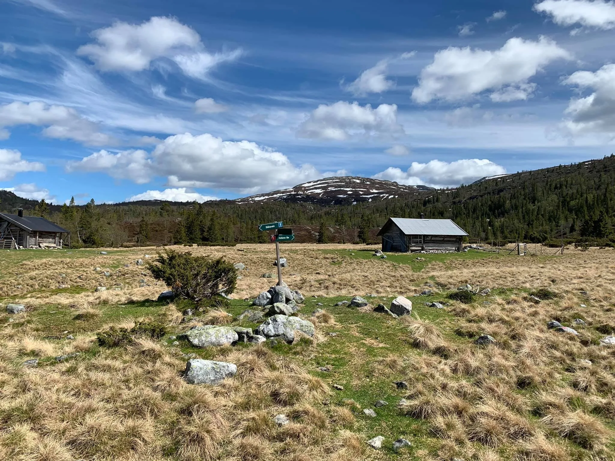
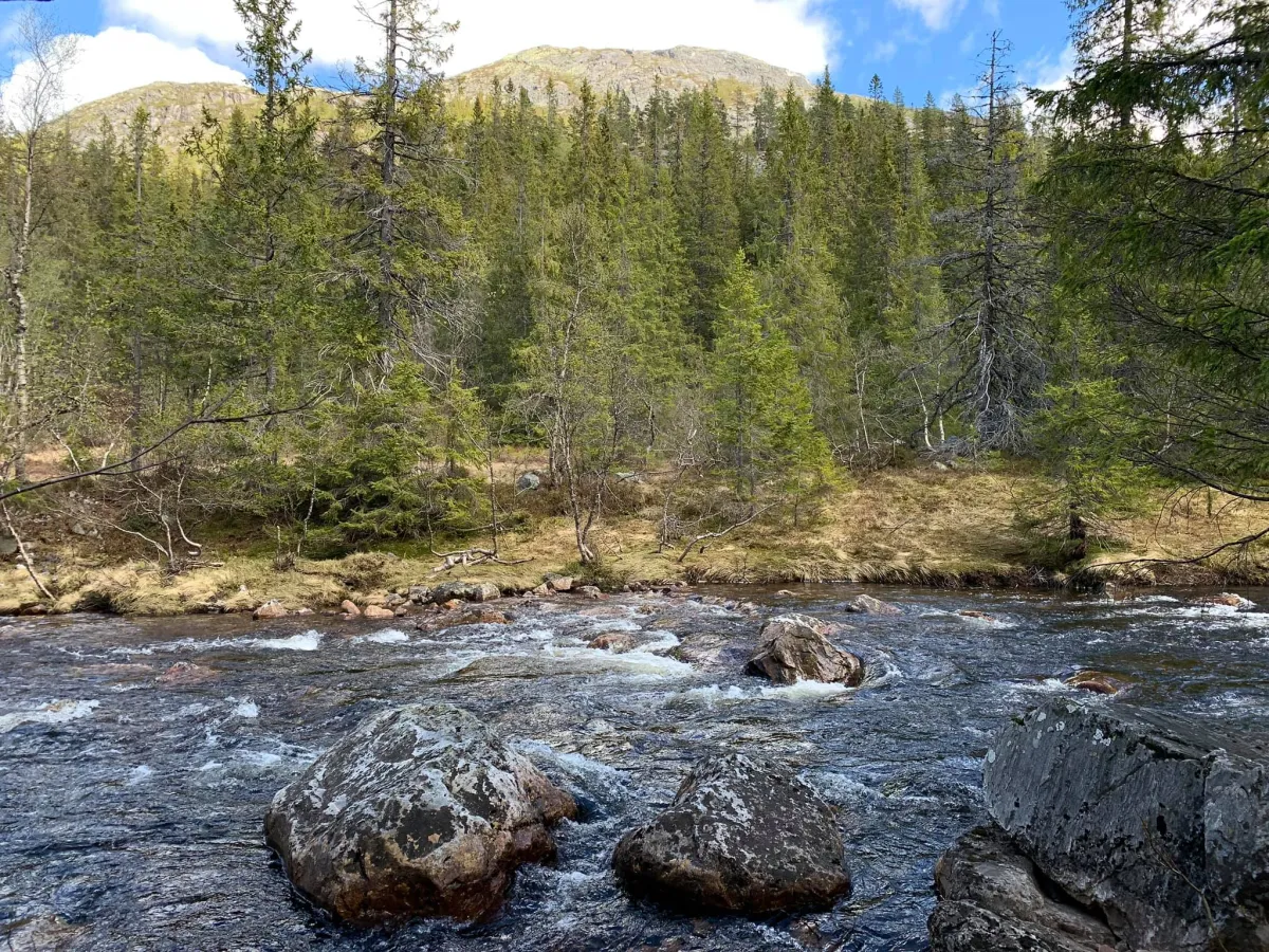
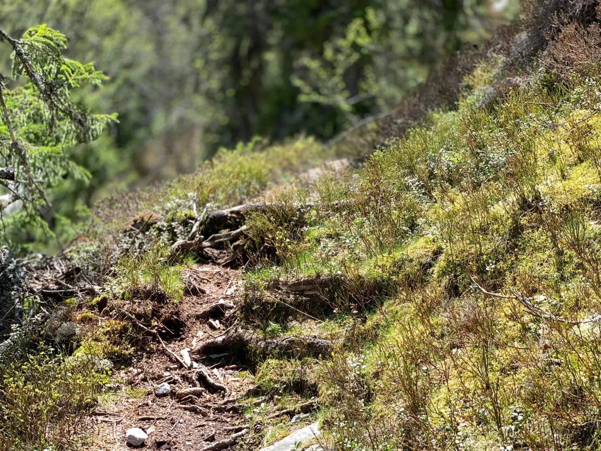
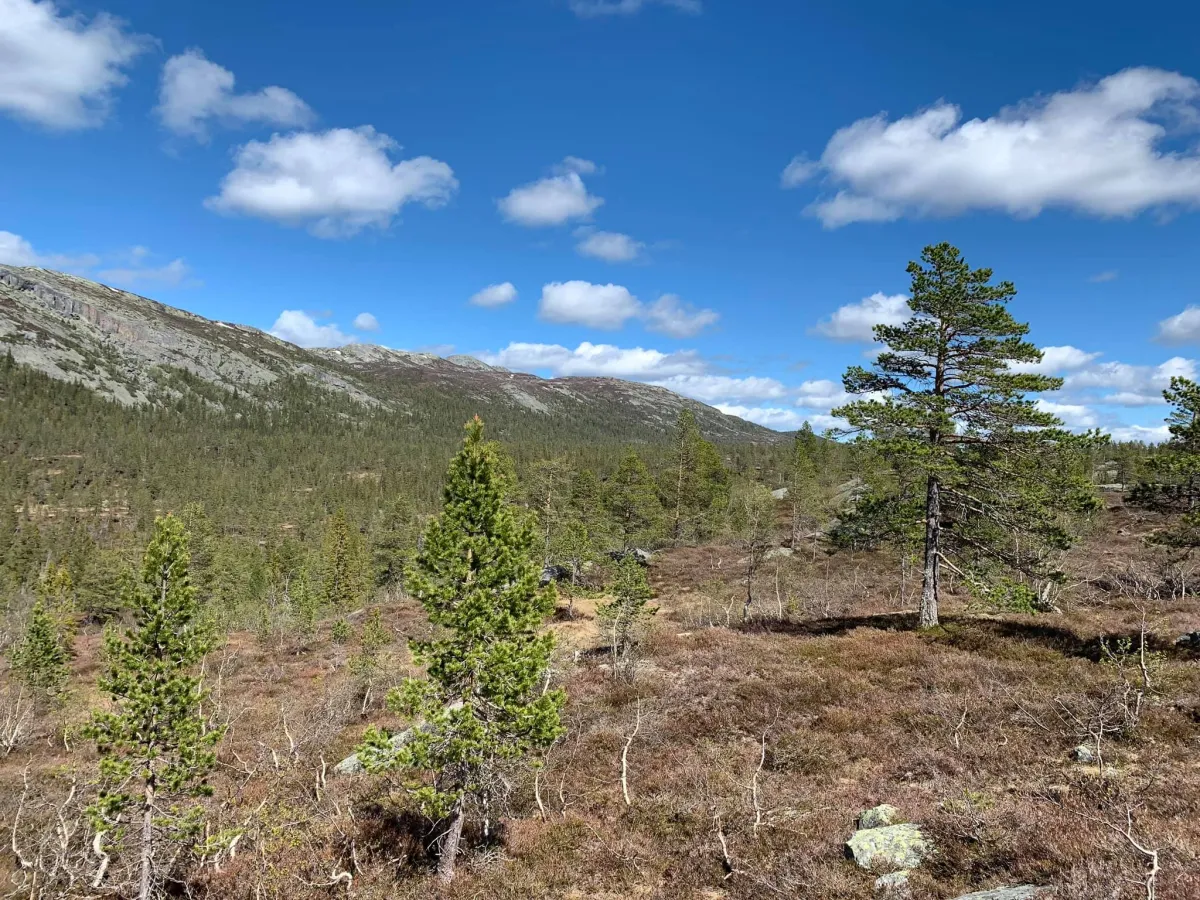
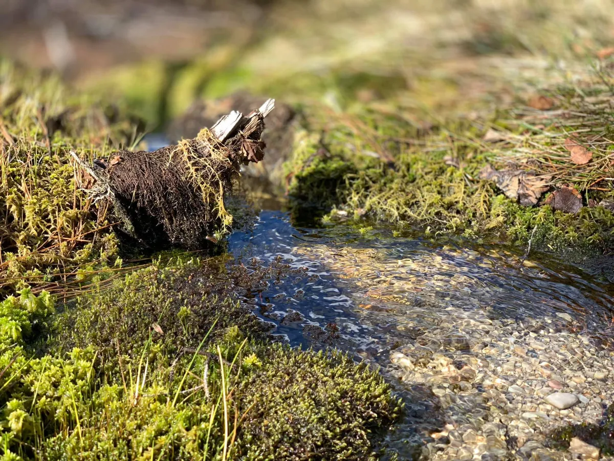
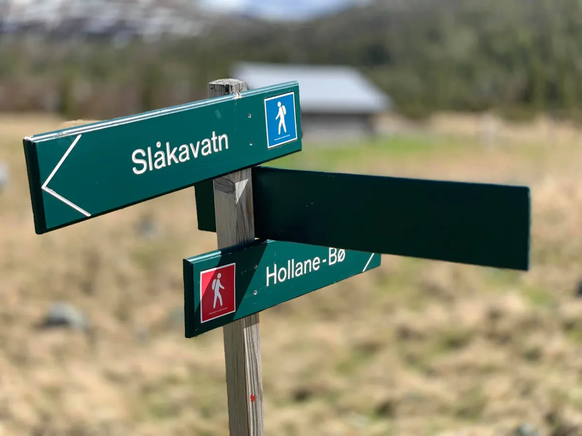
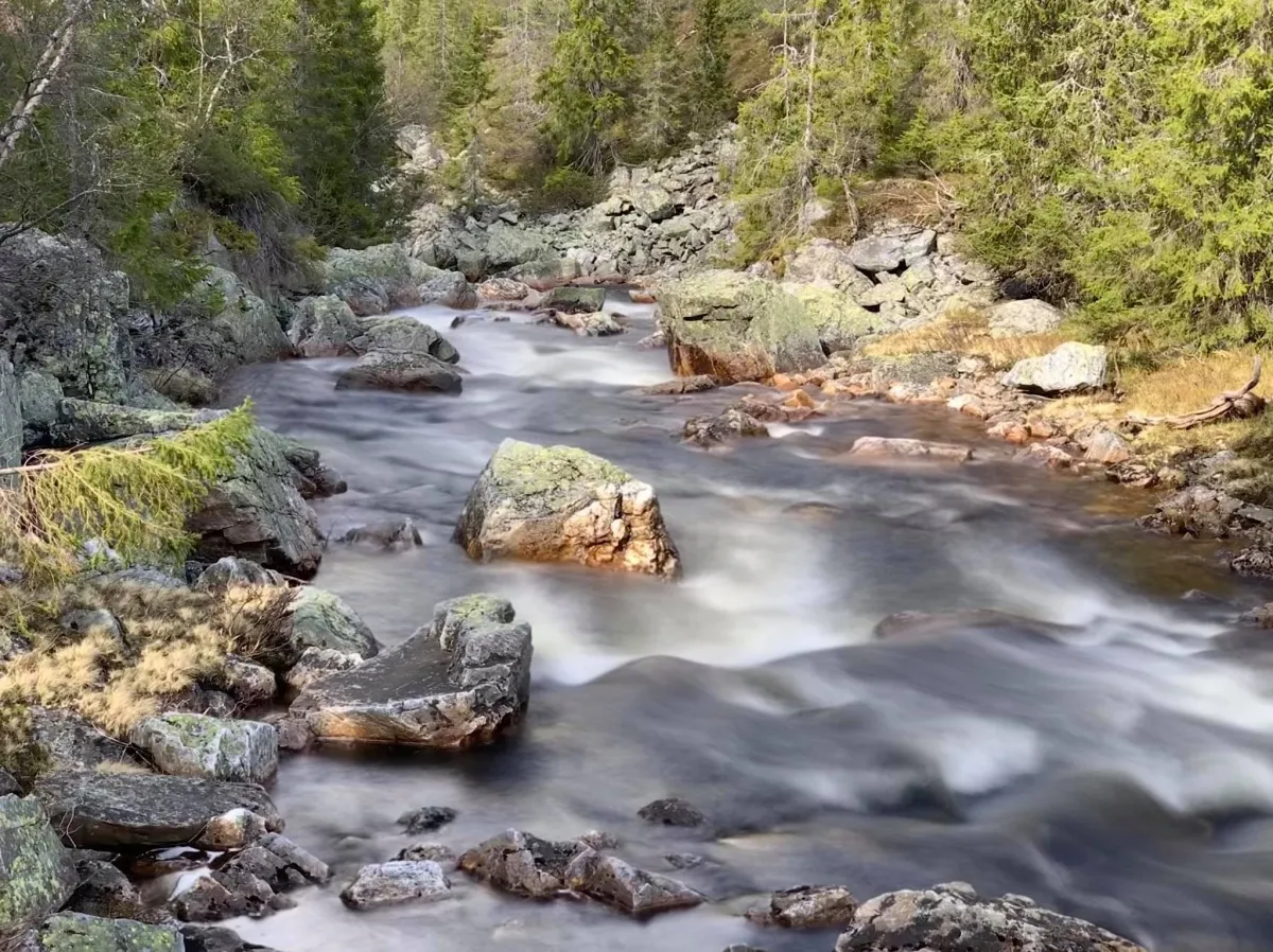
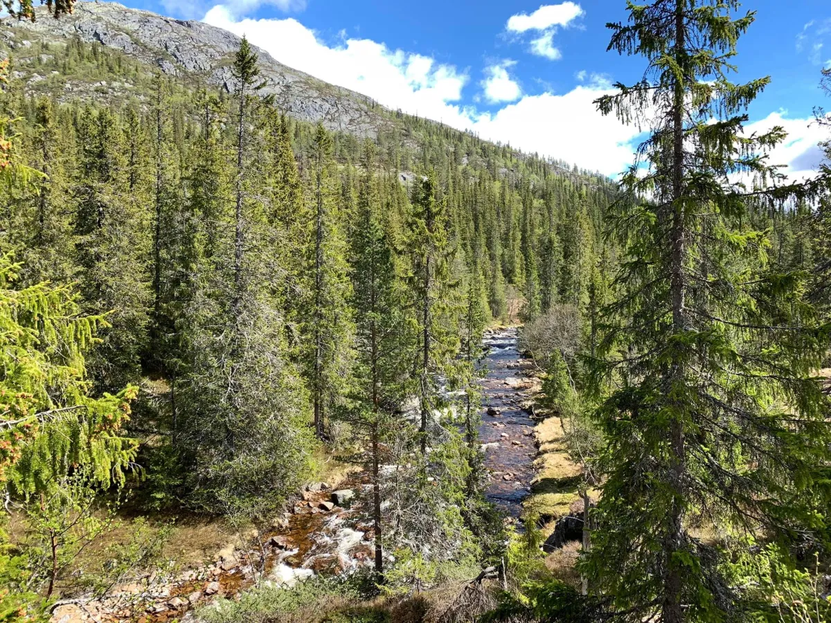
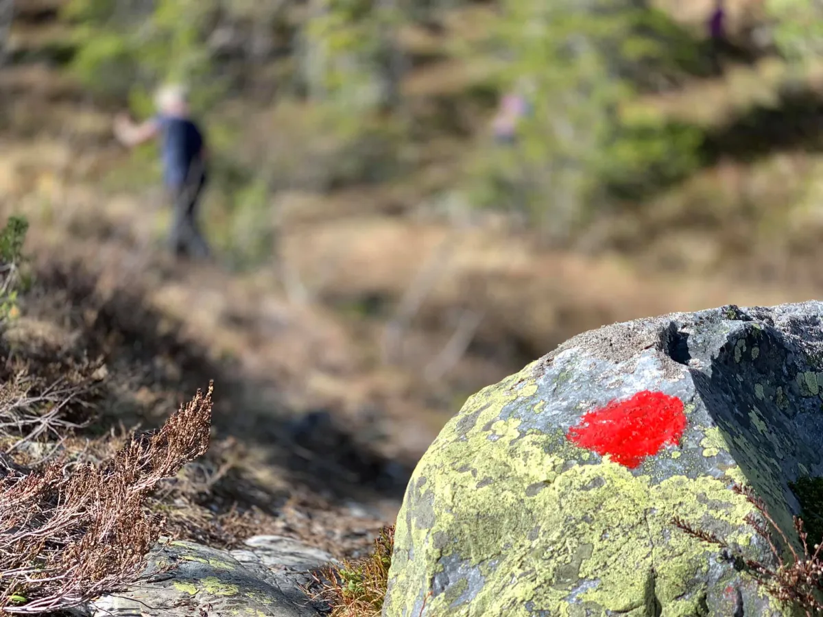
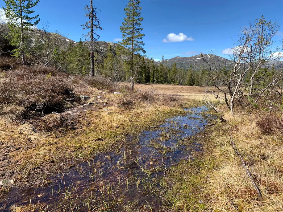
Urdevatnar, located on the Notodden side of Lifjell, can be reached from many sides. If you drive to the bottom of Grunningsdalen from Seljord, you can start the hike from Slåkja. You walk past the Slåkja lake on the left-hand side, under the pylons and up along the Uppdøla river. Here you walk in partial marsh and firm path. It goes up and down. Some parts are also a little difficult for bad legs. You then come to Løyningen. Løyningstjønna and the tops of old pillars are great to look at. Follow the path up to Urdevatnar. This is a beautiful lake, which is still in operation. 3-4 houses and outbuildings can be found here. You cannot see Sunnstulvatne directly from here. But, if you go a little south-west you will get there. Sunnstulen is also located here.
Photos (10)

1 / 10
Practical info
- Direction
- tur-retur
- Season
- Summer
- Trail quality
- 2/5
- Solitude
- 6/5
Got any good trail tips?
Notodden
Telemark
fintur.no
Telemark
fintur.no