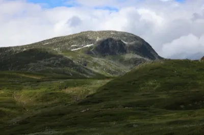
Vålånut
Weather forecast
Hentar vêrdata…
Kjelde: Yr.no (Meteorologisk institutt)
Map and route
S Start
M Finish
▲ Highest point
▼ Lowest point
km Main route
↕ m Elevation
About this hike
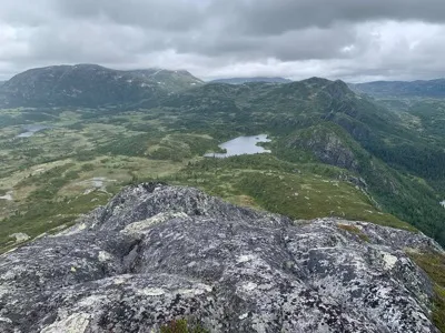
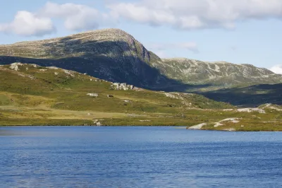
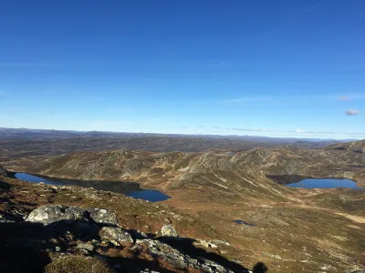
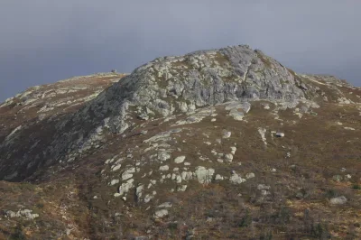
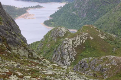
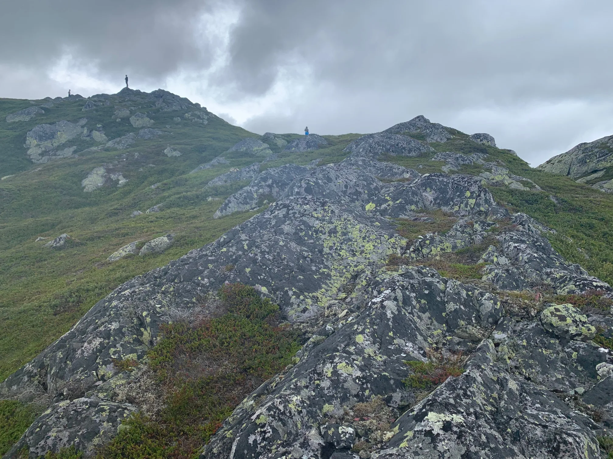
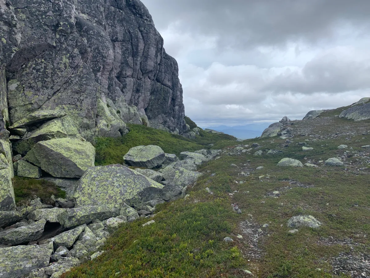
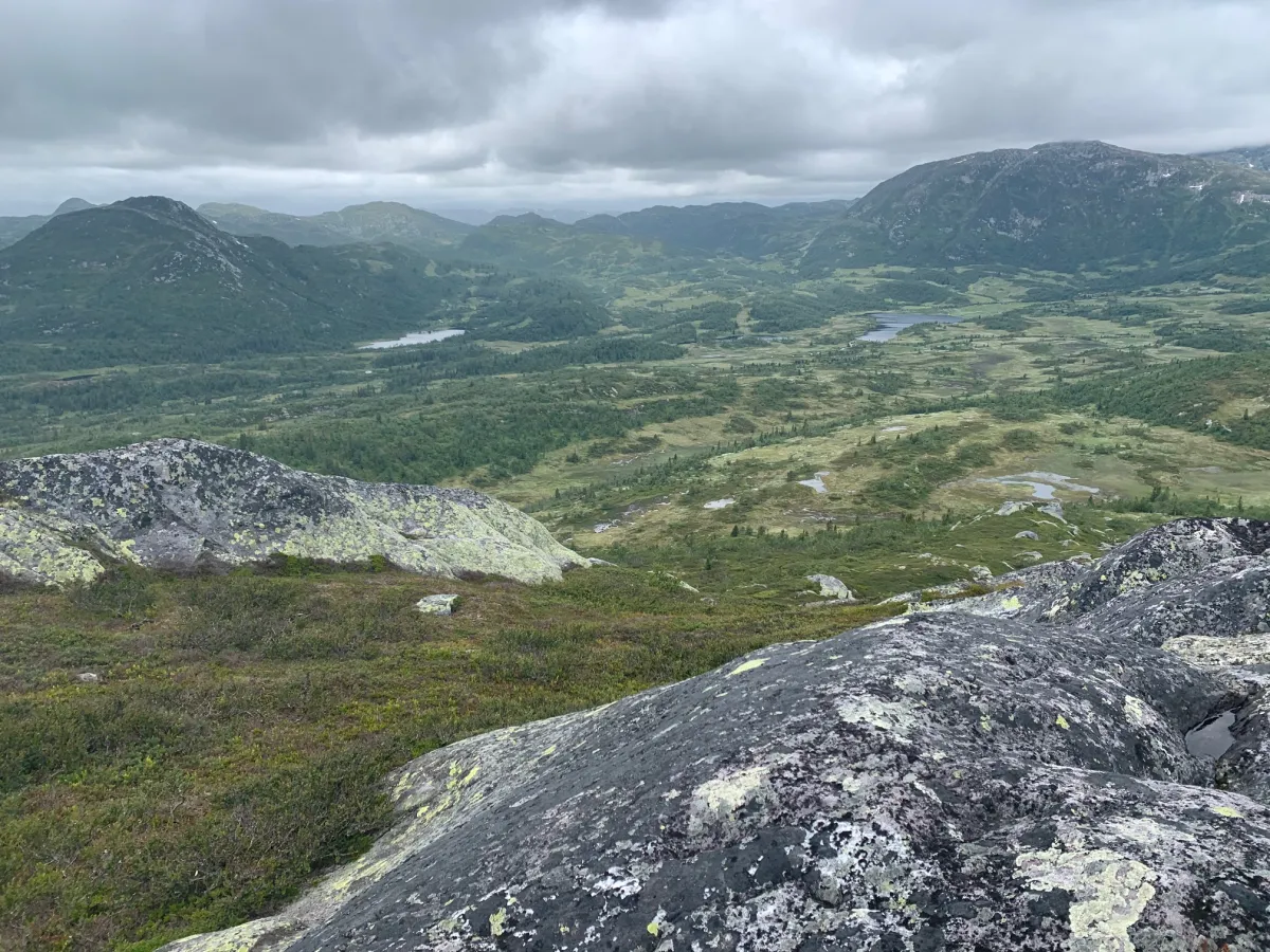
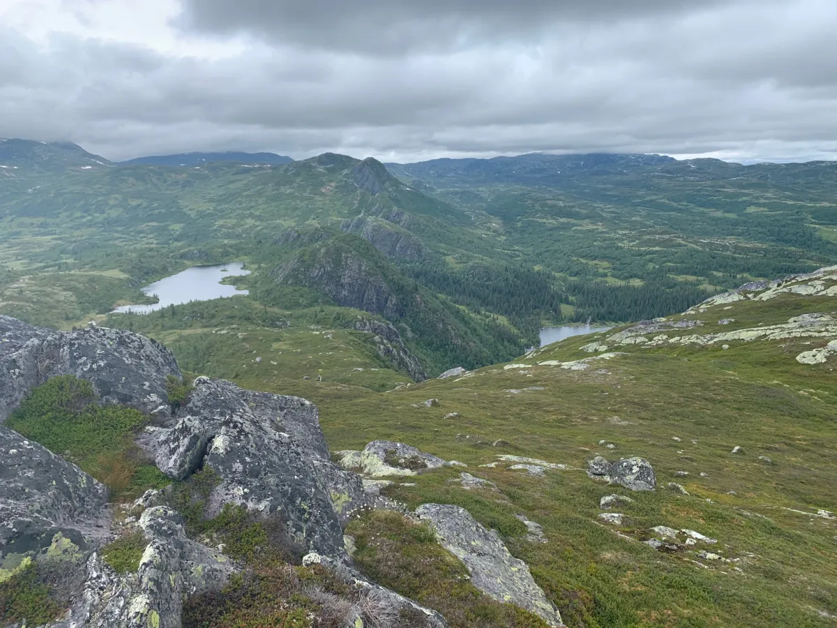
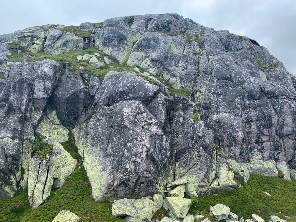
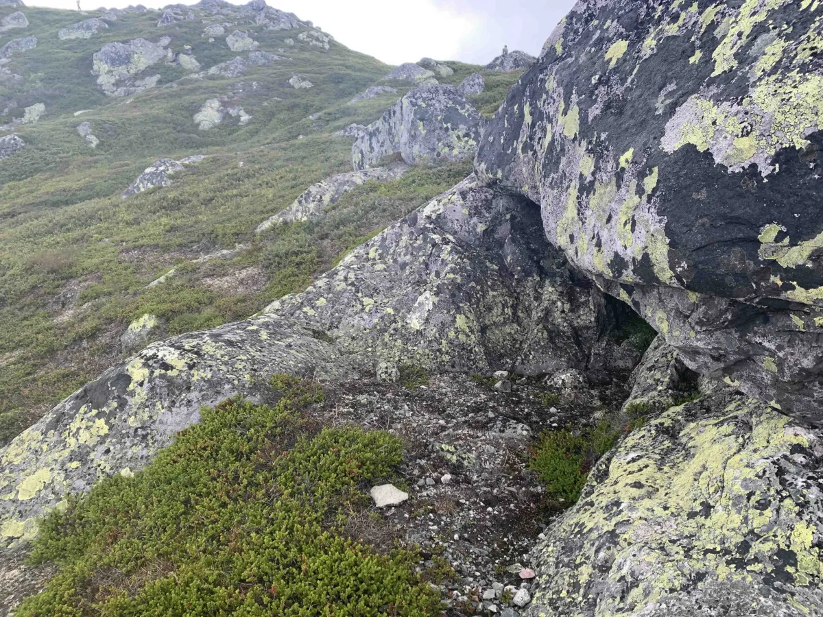
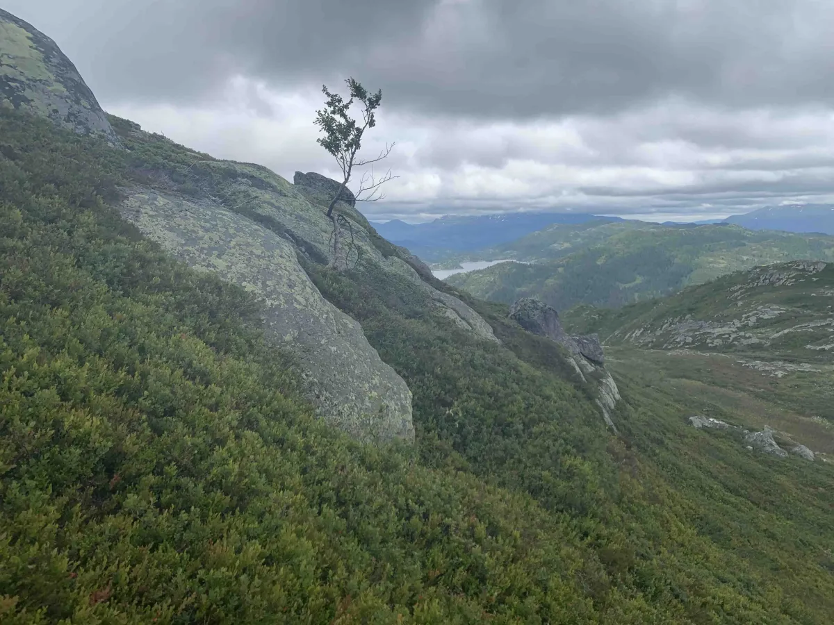
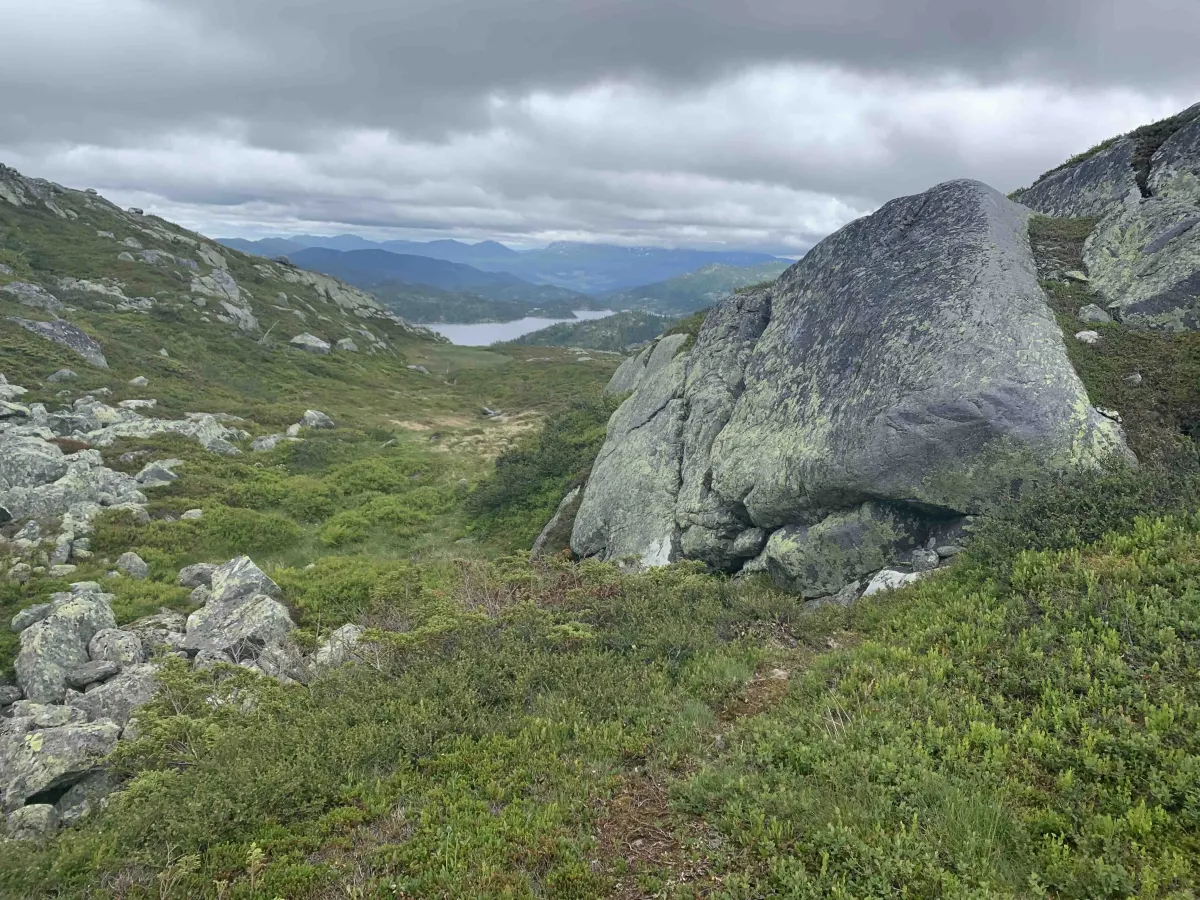
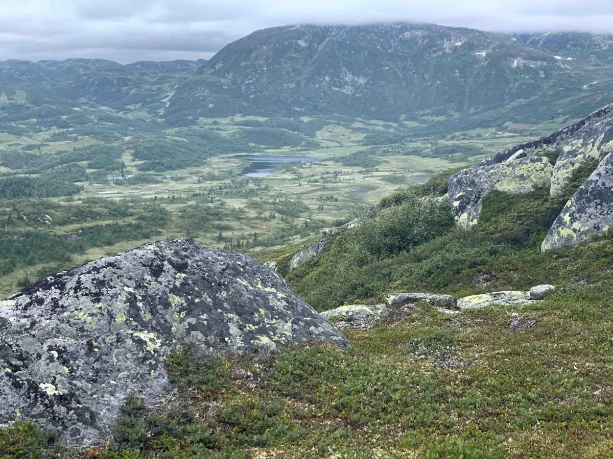
This groove lies on the outer edge of Seljord in Svartdalsheiane towards Åtofjorden in Skjesvatn and Hjartdal. Wild and beautiful nature to walk into from Småtjønn, along Heiåi and up past Smørbekk. There are trails and wet bogs here, so waterproof hiking boots are important to wear. At the top of Vålånuten there's a large, beautiful area with room for 10-15 tents. Very fun and surprising. The view towards Heiåi and the surrounding valley is fantastic. On a sunny day, you can sit and look for hours if you want. From the parking lot at Småtjønn, it's a 10.6 km round trip with about 400 meters of ascent.
Photos (4)
1 / 4
User photos (5)
1 / 5
Practical info
- Direction
- tur-retur
- Season
- Summer
- Trail quality
- 3/5
- Solitude
- 6/5
Got any good trail tips?
Åmotsdal
Telemark
fintur.no
Telemark
fintur.no