Vasen

Weather forecast
Hentar vêrdata…
Kjelde: Yr.no (Meteorologisk institutt)
Map and route
S Start
M Finish
▲ Highest point
▼ Lowest point
km Main route
km Alternativ rute
↕ m Elevation
About this hike
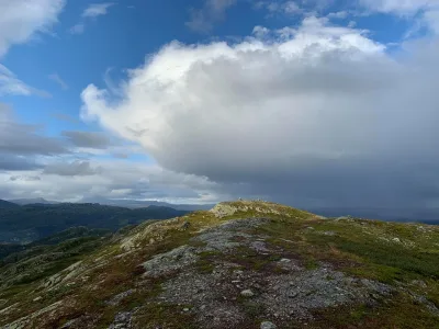
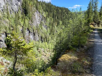
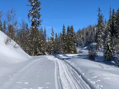
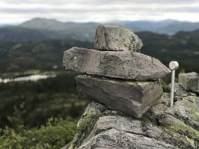
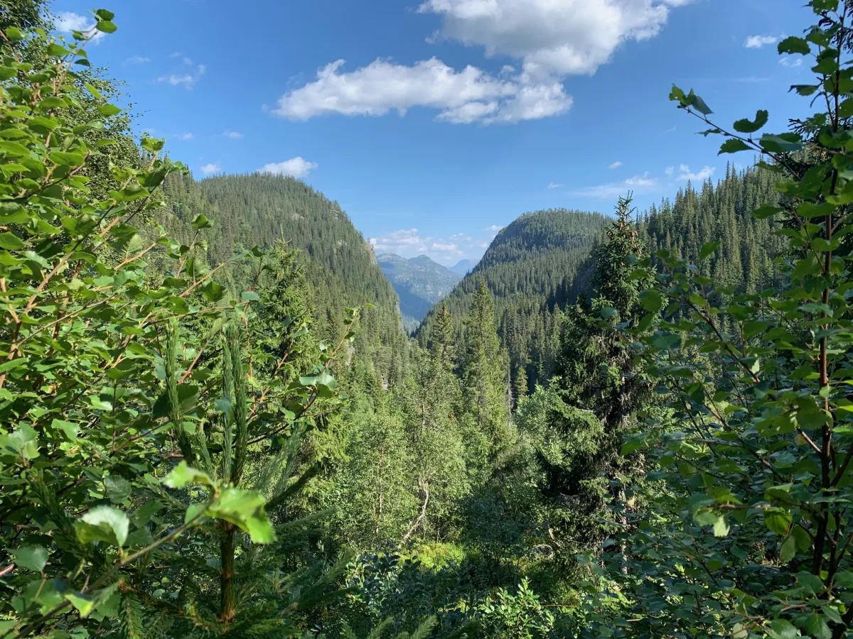
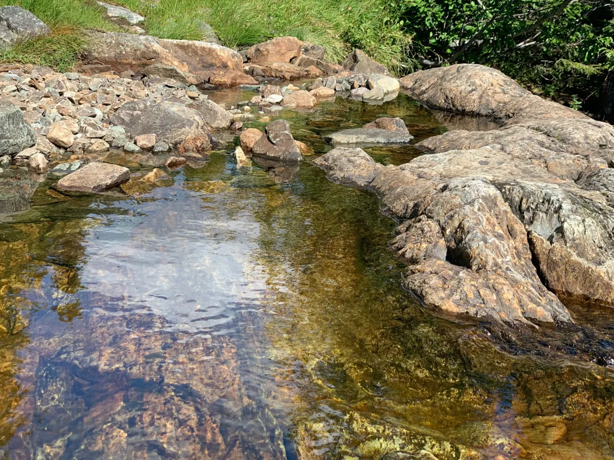
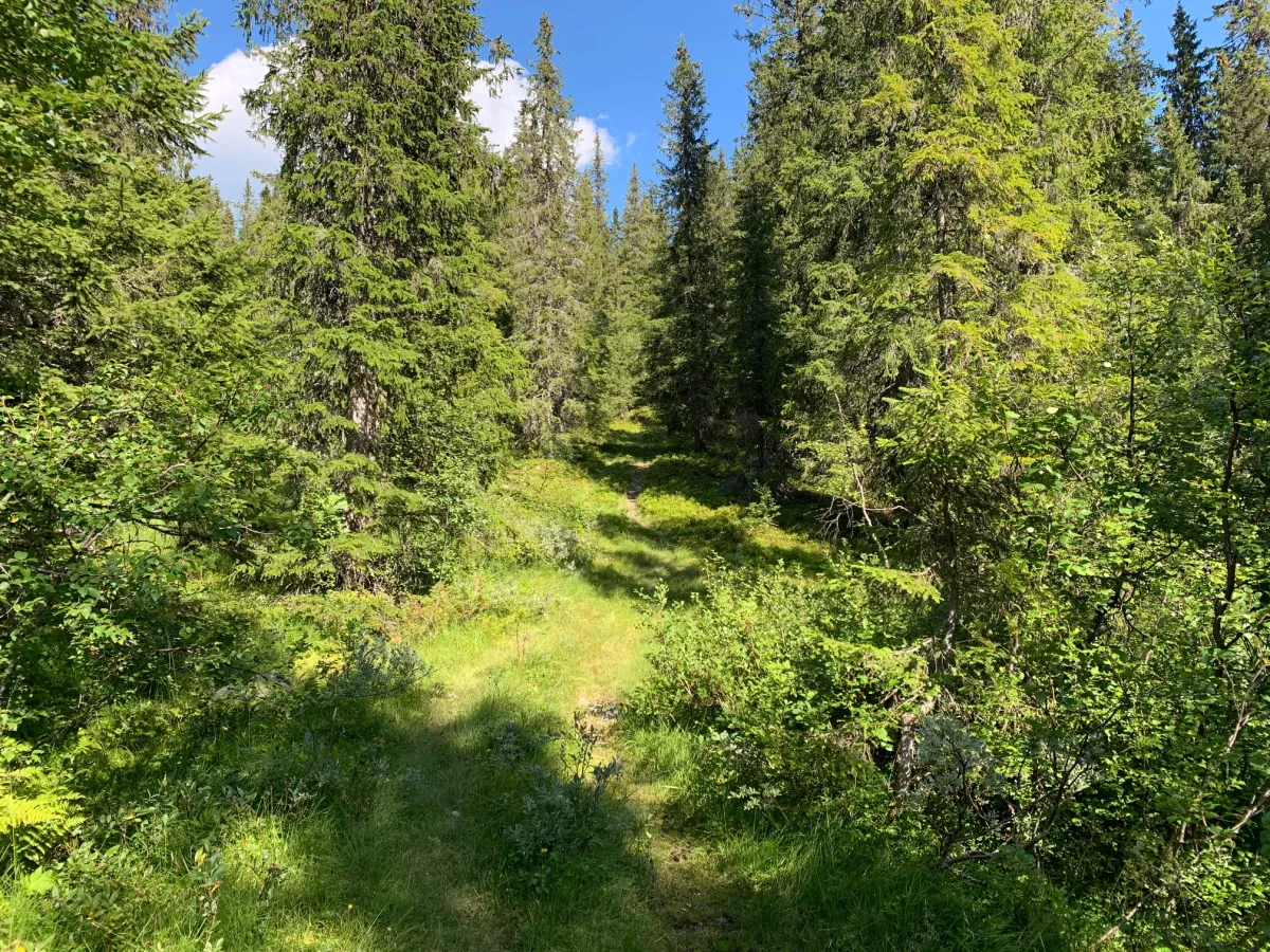
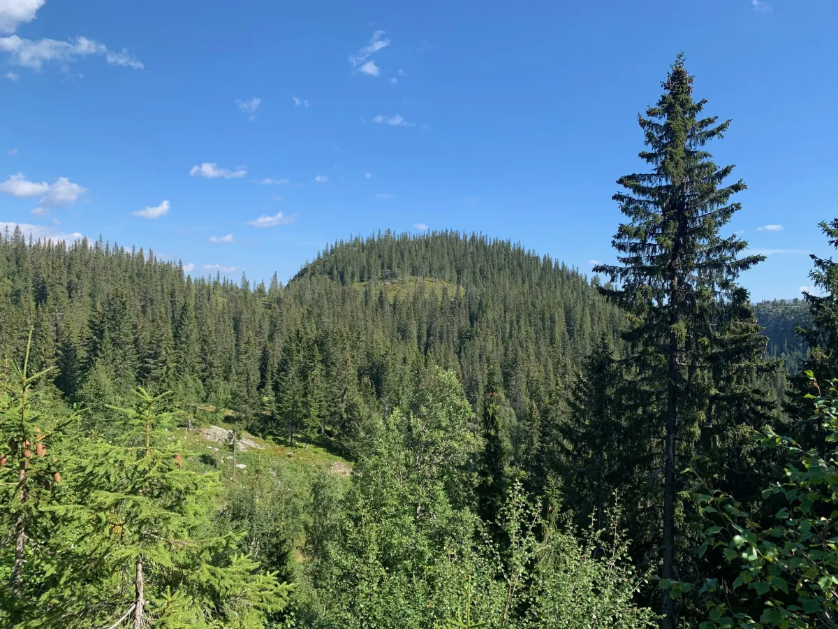
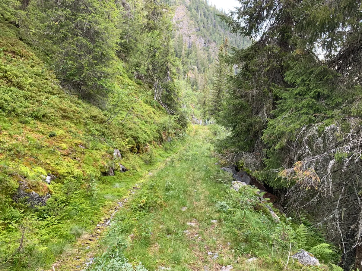
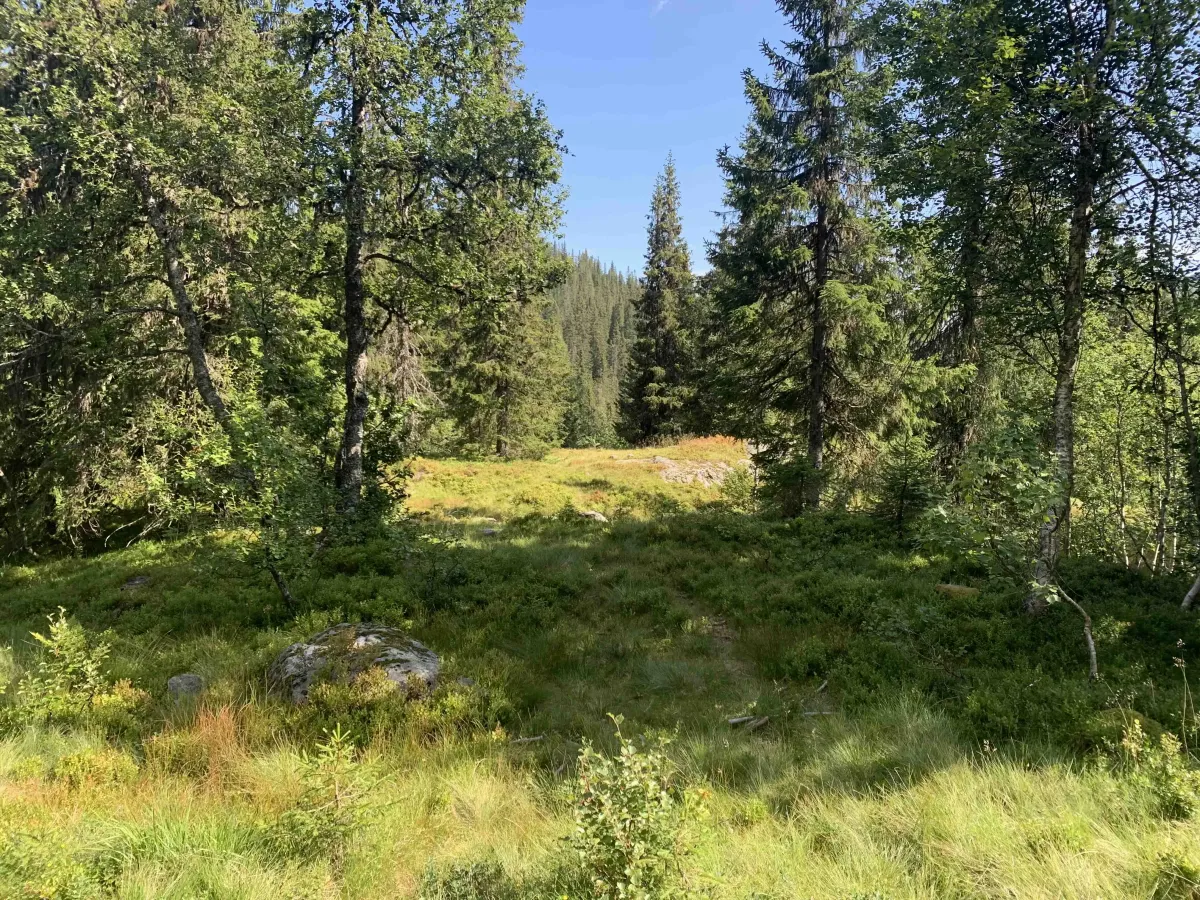
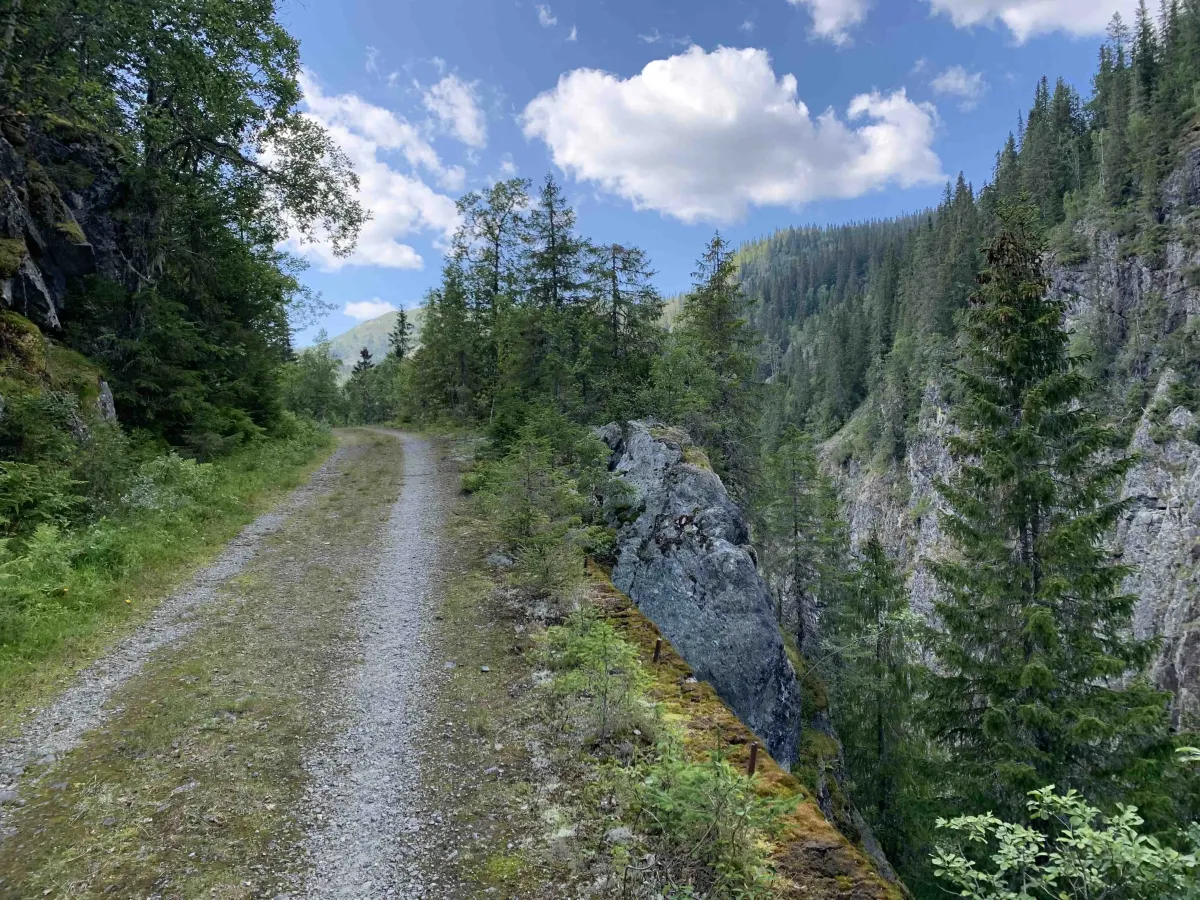
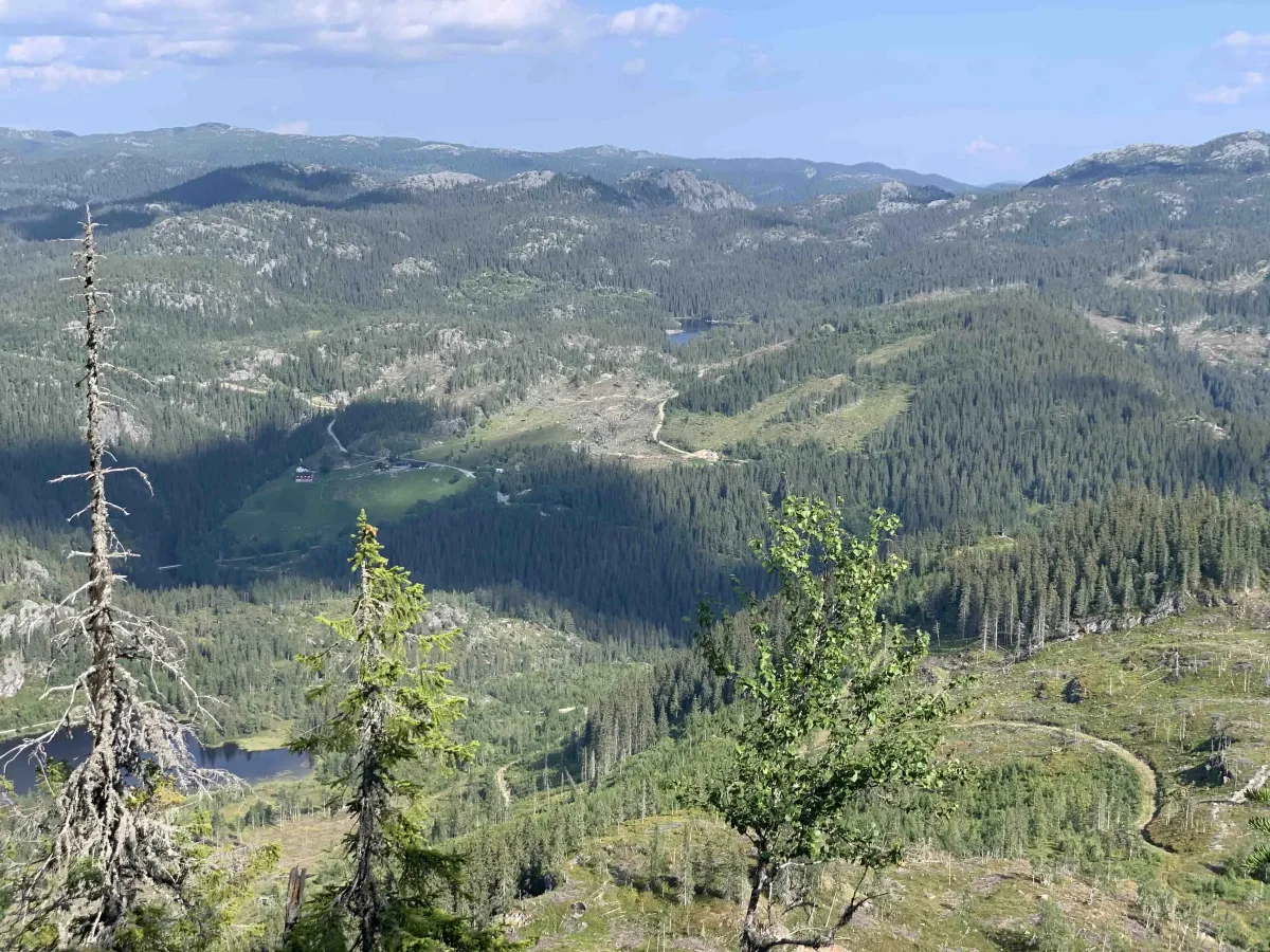
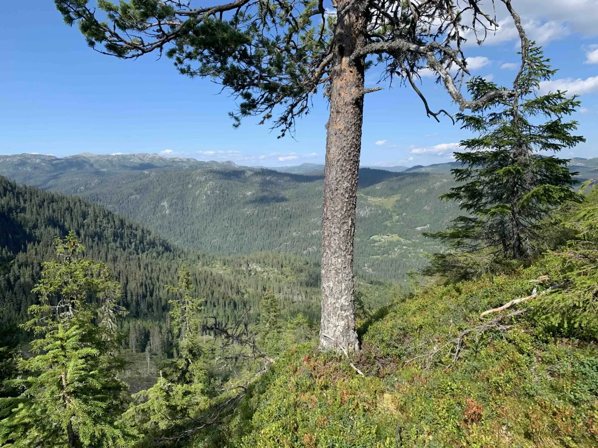
The trip across Vasen or Vassavegen from Langlim to Åmotsdal is both beautiful and historic. Many a Langlim resident has crossed here for both baptism and burial. In summer in 35 degrees Celsius and in winter in -35. Anyway, the hiking route over Vasen; Vassavegen. It's steep and tiring. If you start from Valetjønni at the bottom of Langlim, you'll reach Rønjomgrendi in 1 1/2 hours. 3-4 km further towards Åmotsdal. You can also take a detour up to Rønjomnuten if you like. However, you can also do this as a round trip. You can start in Dyrlandsdalen, at the bottom of Valegjuvvegen. Then you can add 3.3 km to the hike. To get back to this parking lot, walk down Rønjomgrendi to Vehustjønni and towards the end where you can walk down a path to the road.
Photos (5)
1 / 5
Videos (1)
Turen over Vasen
User photos (4)
1 / 4
Practical info
- Direction
- enveis
- Season
- Summer
- Trail quality
- 3/5
- Solitude
- 5/5
Got any good trail tips?
Åmotsdal
Telemark
fintur.no
Telemark
fintur.no