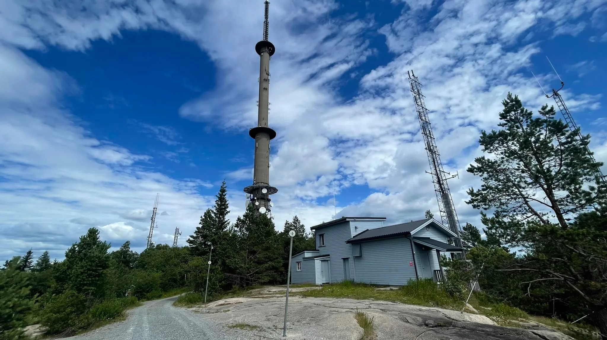
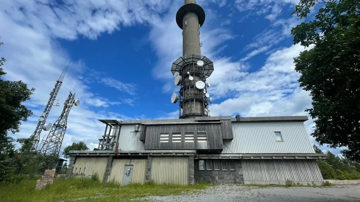
Vealøstårnet
 T
T
Weather forecast
Hentar vêrdata…
Kjelde: Yr.no (Meteorologisk institutt)
Map and route
S Start
M Finish
▲ Highest point
▼ Lowest point
km Main route
↕ m Elevation
About this hike
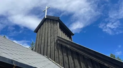
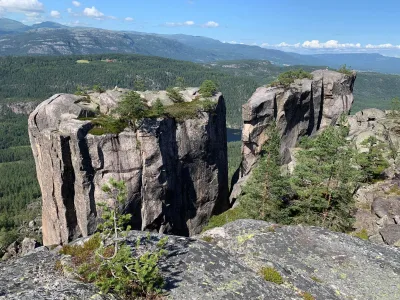
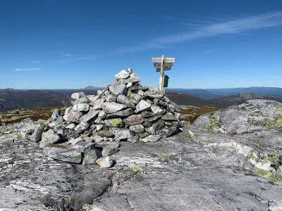
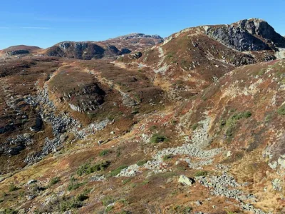
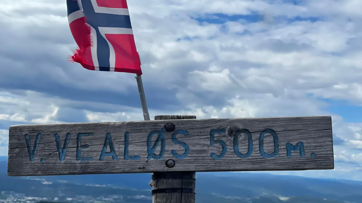
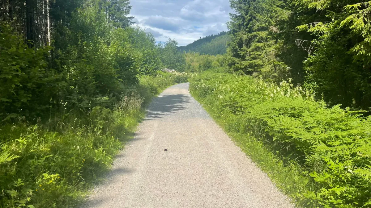
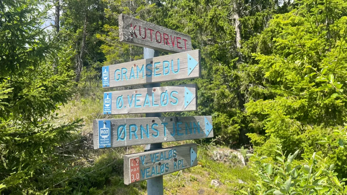
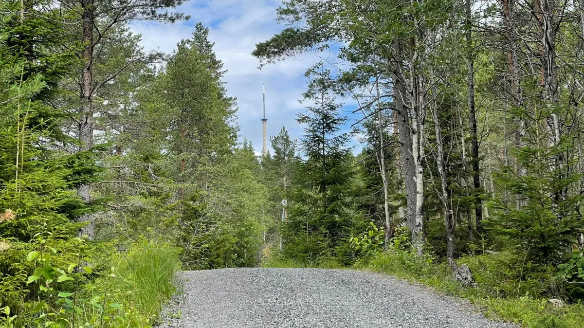
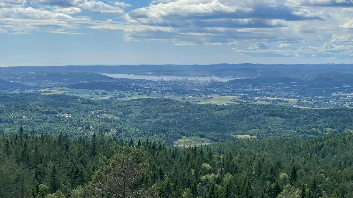
Vealøstårnet (498 m) towers 79 meters high and is located in Skien towards Siljan. When you're first in these parts and need to spend a couple of hours, it can be good to see how they create hiking trails in the city. And they can. Gravel road all the way to the top (+many trails that end at the top, too, it should be said). Great forest and beautiful sounds of birds. This hike starts from Skifjell parking lot (inside Gjerpendalen). It's just under 5 km each way, with 400 meters of altitude to climb. I also visited the Vealøs chapel, which is a 500m detour down the road. Super temp and great sun. I just shouldn't have worn flat sneakers.
Photos (7)
1 / 7

Practical info
- Direction
- tur-retur
- Season
- Summer
- Trail quality
- 5/5
- Solitude
- 3/5
Got any good trail tips?
Skien
Telemark
fintur.no
Telemark
fintur.no