Vefall - Reinstaul
Weather forecast
Hentar vêrdata…
Kjelde: Yr.no (Meteorologisk institutt)
Map and route
S Start
M Finish
▲ Highest point
▼ Lowest point
km Main route
↕ m Elevation
About this hike
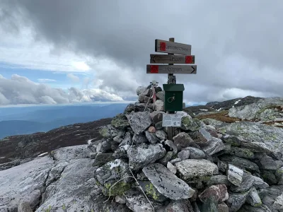
Long hike through forests and hills: Vefall - Reinstaul
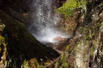
This is a great day trip for those who enjoy long, steep and beautiful walks! The route goes from Vefall and south via several old farms and farmsteads: Bukti, Manheim, Igletveit and To, before ending up at Reinstaul in Grunningsdalen.
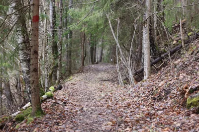
The trail follows old paths and tractor tracks in forest and mountainous terrain, with several steep sections, especially early in the trail from the Vefall side. There is a good gradient and height differences, and you should expect to walk for several hours.
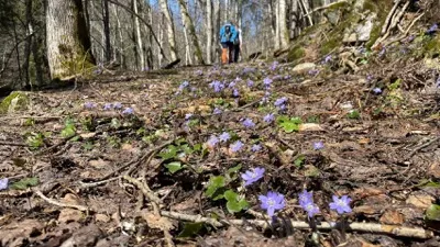
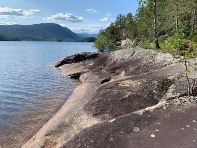
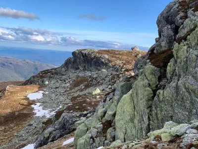
Several of these towns - such as Manheim and To - have historical roots and are beautifully situated with views of valleys and mountains. The area between Igletveit and Reinstaul is quiet and peaceful, and it's not unusual to meet birds and animals along the way.
The hike is demanding, both in terms of length and altitude, and it may be easier to go the opposite way - from Reinstaul to Vefall - then you get a gentler climb and more downhill. This hike is suitable for experienced hikers with plenty of time and sturdy footwear.
Length: Over 10 km (depending on route and chosen detours)
Time required: 5-6 hours
Gradient: Large - especially from the Vefall side
This is a great day trip for those who enjoy long, steep and beautiful walks! The route goes from Vefall and south via several old farms and farmsteads: Bukti, Manheim, Igletveit and To, before ending up at Reinstaul in Grunningsdalen.
The trail follows old paths and tractor tracks in forest and mountainous terrain, with several steep sections, especially early in the trail from the Vefall side. There is a good gradient and height differences, and you should expect to walk for several hours.
Several of these towns - such as Manheim and To - have historical roots and are beautifully situated with views of valleys and mountains. The area between Igletveit and Reinstaul is quiet and peaceful, and it's not unusual to meet birds and animals along the way.
The hike is demanding, both in terms of length and altitude, and it may be easier to go the opposite way - from Reinstaul to Vefall - then you get a gentler climb and more downhill. This hike is suitable for experienced hikers with plenty of time and sturdy footwear.
Length: Over 10 km (depending on route and chosen detours)
Time required: 5-6 hours
Gradient: Large - especially from the Vefall side
Photos (1)

Videos (1)
Vefall - Reinstaul
Practical info
- Direction
- tur-retur
- Season
- Summer
- Trail quality
- 3/5
- Solitude
- 3/5
Got any good trail tips?
Seljord
Telemark
fintur.no
Telemark
fintur.no