Vindeggen
Fee
The road or car park has a fee. Bring small change. Some take cards and Vipps.
Weather forecast
Hentar vêrdata…
Kjelde: Yr.no (Meteorologisk institutt)
Map and route
S Start
M Finish
▲ Highest point
▼ Lowest point
km Main route
↕ m Elevation
About this hike
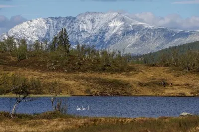
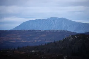
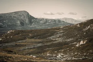
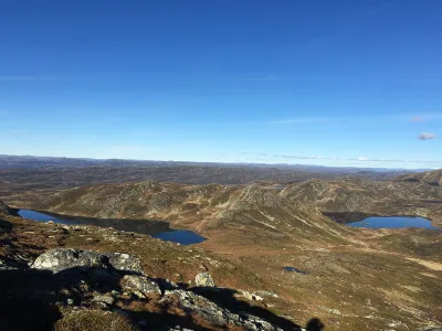
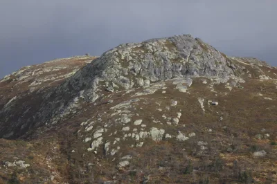
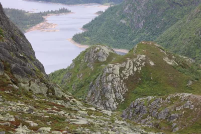
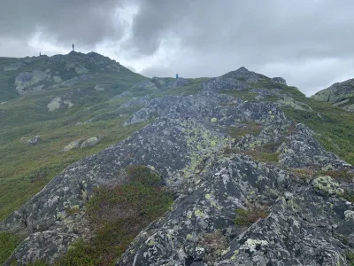
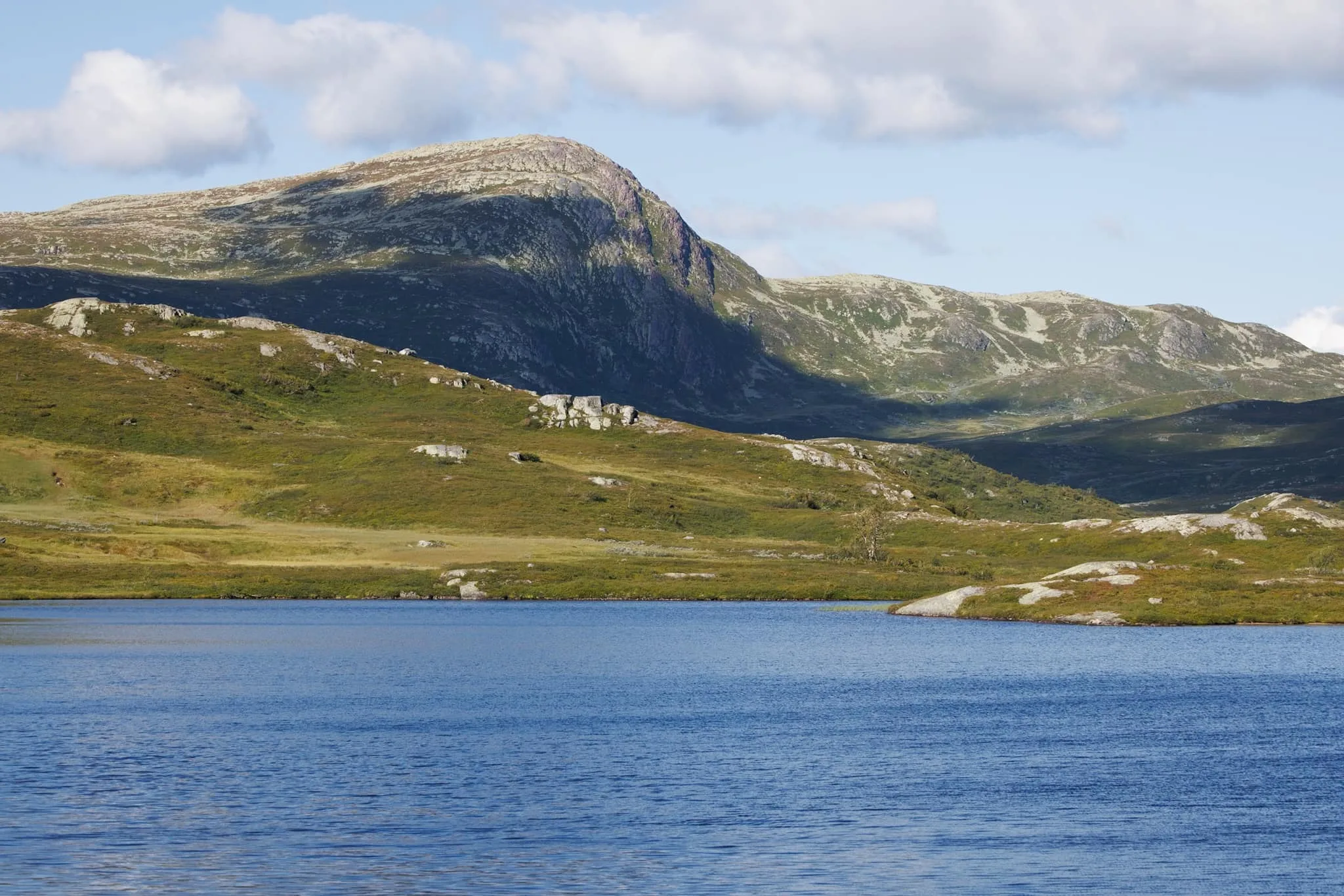
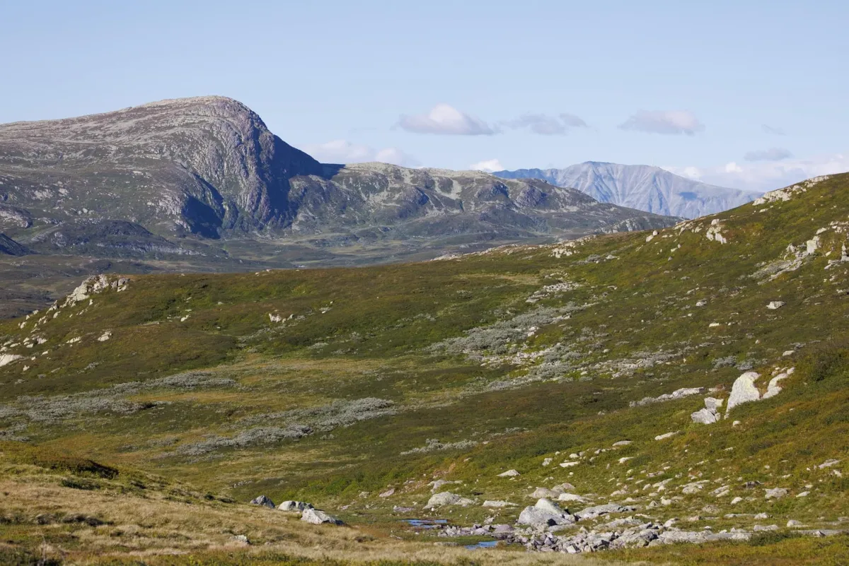
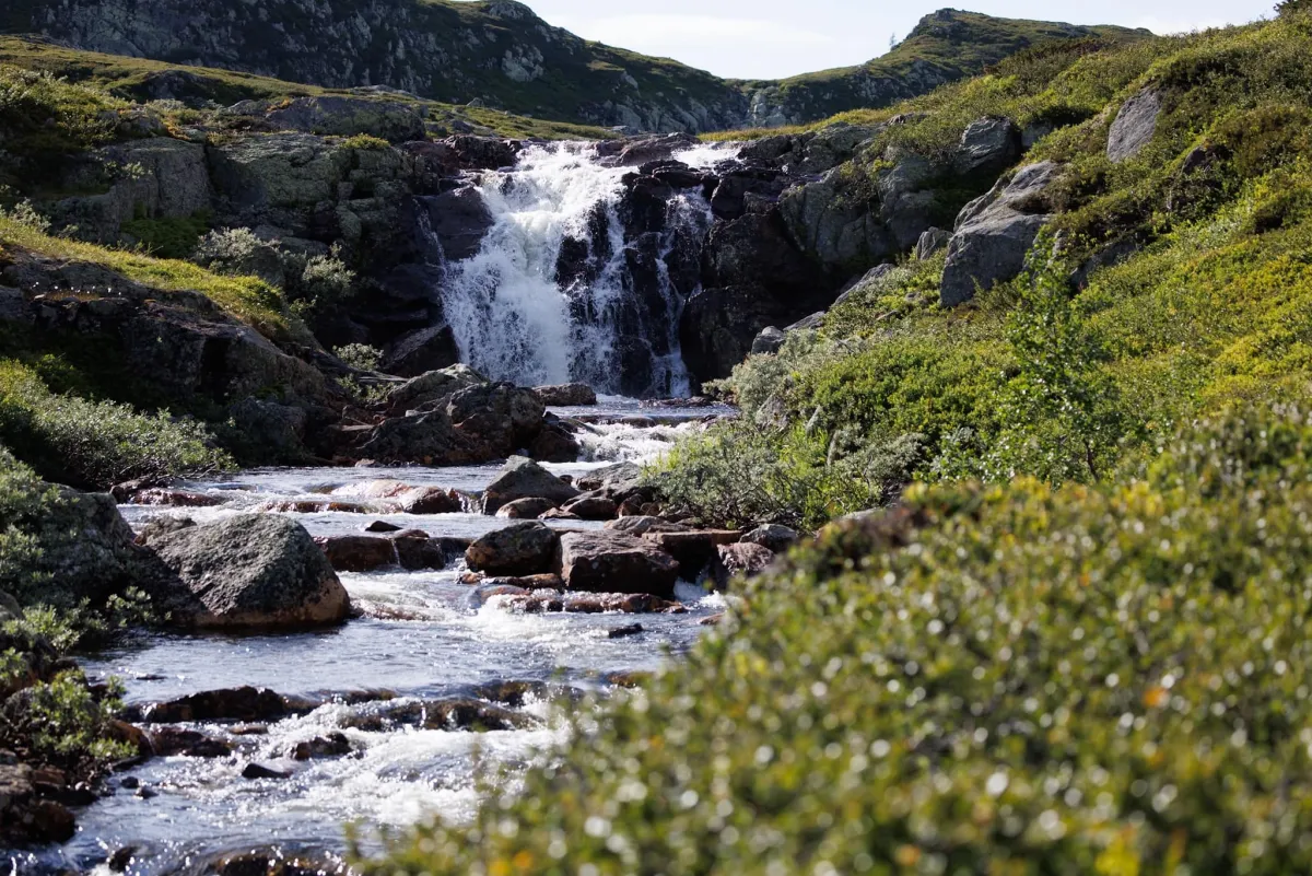
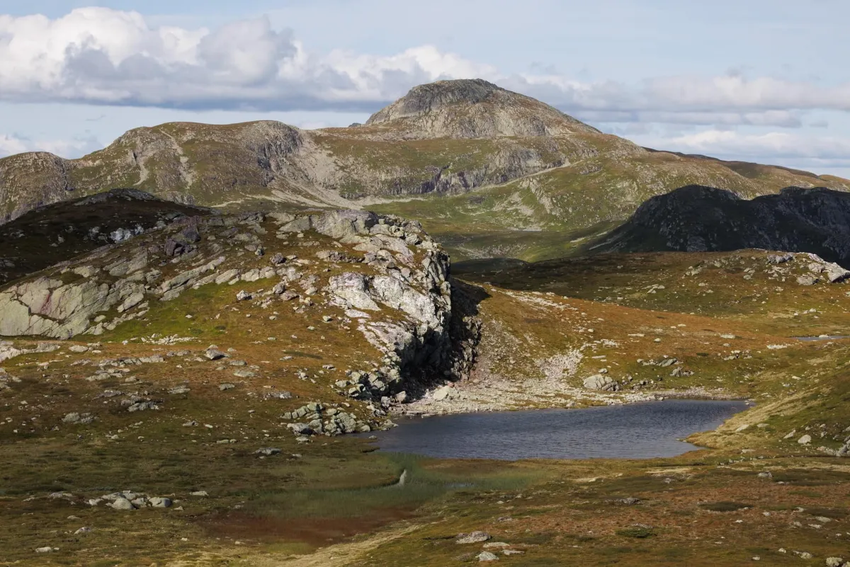
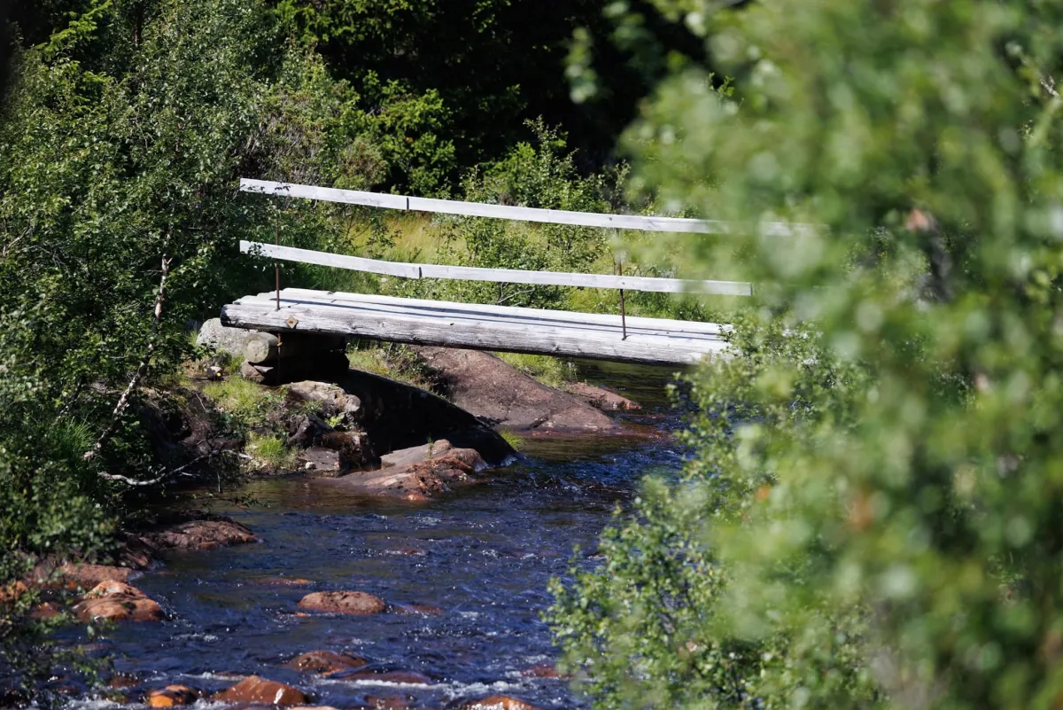
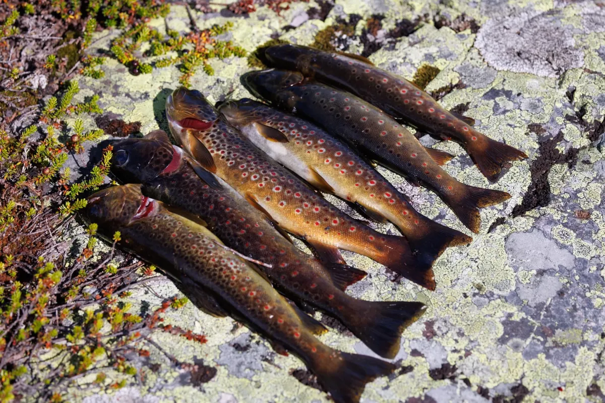
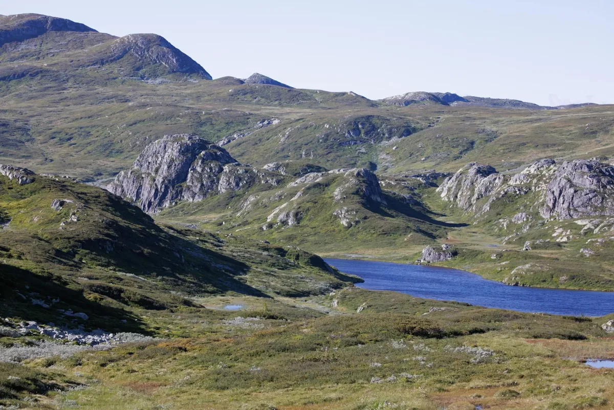
The wilderness calls for a 2-day hike in the Brattefjell/Vindeggen conservation area. This fantastic area at the top of the municipality with dramatic formations in steep mountains, small mountain lakes and beautiful mountain flora in a hilly landscape in Brattefjell. The characteristic shape of Vindeggen is surrounded by plains towards Skjesvatn in Hjartal. A fantastic combination for a conservation area. But it's a long way to Robekk and Blanktjønnan. 15 km and a lot of hard work with a heavy backpack. On warm summer days, you can wander around up here behind Brattefjell and Mefjell. Take the trip up Vindeggen and see Gaustatoppen from a new perspective. It's a lot of fun. The distances are great, but there's a lot to see. The stables at Robekk are well situated between the mountains. This trip started from Småtjønn and went to Svain. Then on to Geitekyrkja and straight on to Robekknutane. Then up to Blanktjønnan and up behind Sjånuten. Up here it lies at 1200+ meters above sea level. Here I found the campsite with views of most things. The next day we hiked to Vindeggen in the morning dawn. 10 km. Glorious sunshine and Gaustatoppen back to health. The trip then went back to the tent. From there I headed back down and up towards some small fishing lakes on the Seljord side. 6 mountain lions for dinner. That's not so bad. You have to make time for that. Then we headed up the slopes towards the junction with Brattefjell at Geitekyrkja. And then the long walk back to Småtjønn. That's 40 km in terrain with a 20 kg backpack (a little too heavy). You need to set aside at least 2 days to get what you want. Look at the details and the great landscape. There are no signs or markings in the protected area, so you have to use trails and learn how to use a map and compass. GPS or people you know are also good tools. This was the big trip of the summer. Ready for the next one.
Photos (8)
1 / 8

Videos (1)
Brattefjell til Robekk
Practical info
- Direction
- tur-retur
- Season
- Summer
- Trail quality
- 1/5
- Solitude
- 8/5
Got any good trail tips?
Åmotsdal
Telemark
fintur.no
Telemark
fintur.no