Århusnuten
Weather forecast
Hentar vêrdata…
Kjelde: Yr.no (Meteorologisk institutt)
Map and route
S Start
M Finish
▲ Highest point
▼ Lowest point
km Main route
↕ m Elevation
About this hike
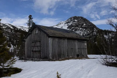
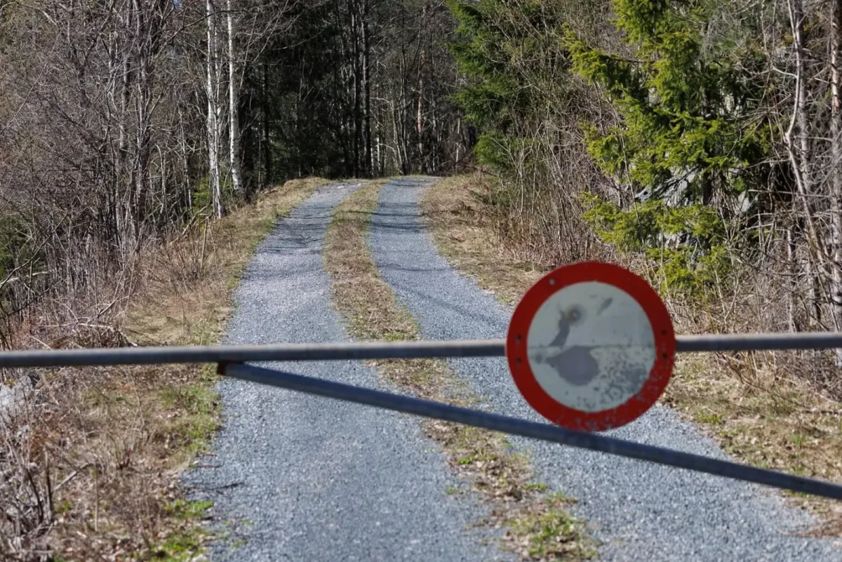
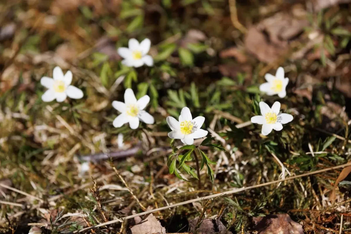
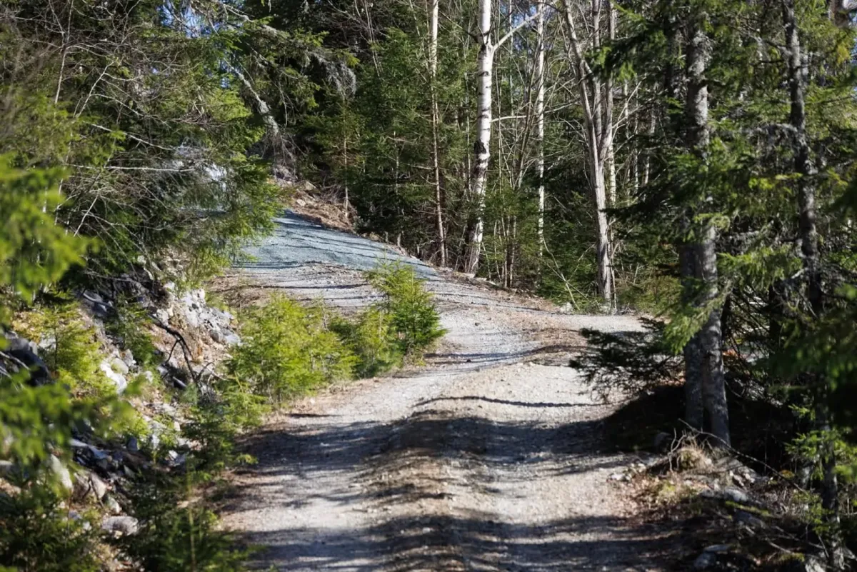
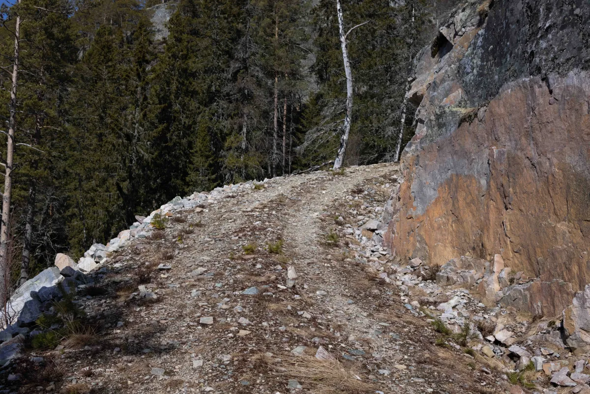
Århusnuten offers a short but challenging hike with spectacular views as a reward. The hike starts at the shuttle track at Flatsjå, where you can park your car. From here you follow a clear path that leads you up to a steep tractor road - this road belongs to the Århus farm and winds up the mountainside in beautiful scenery.
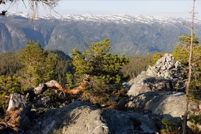
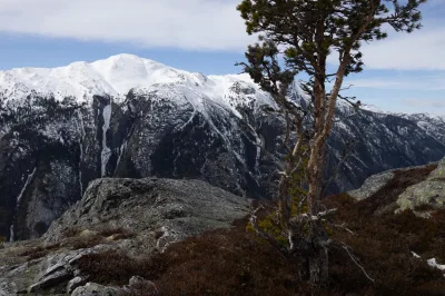
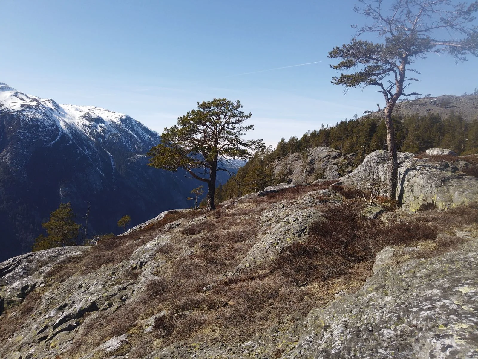
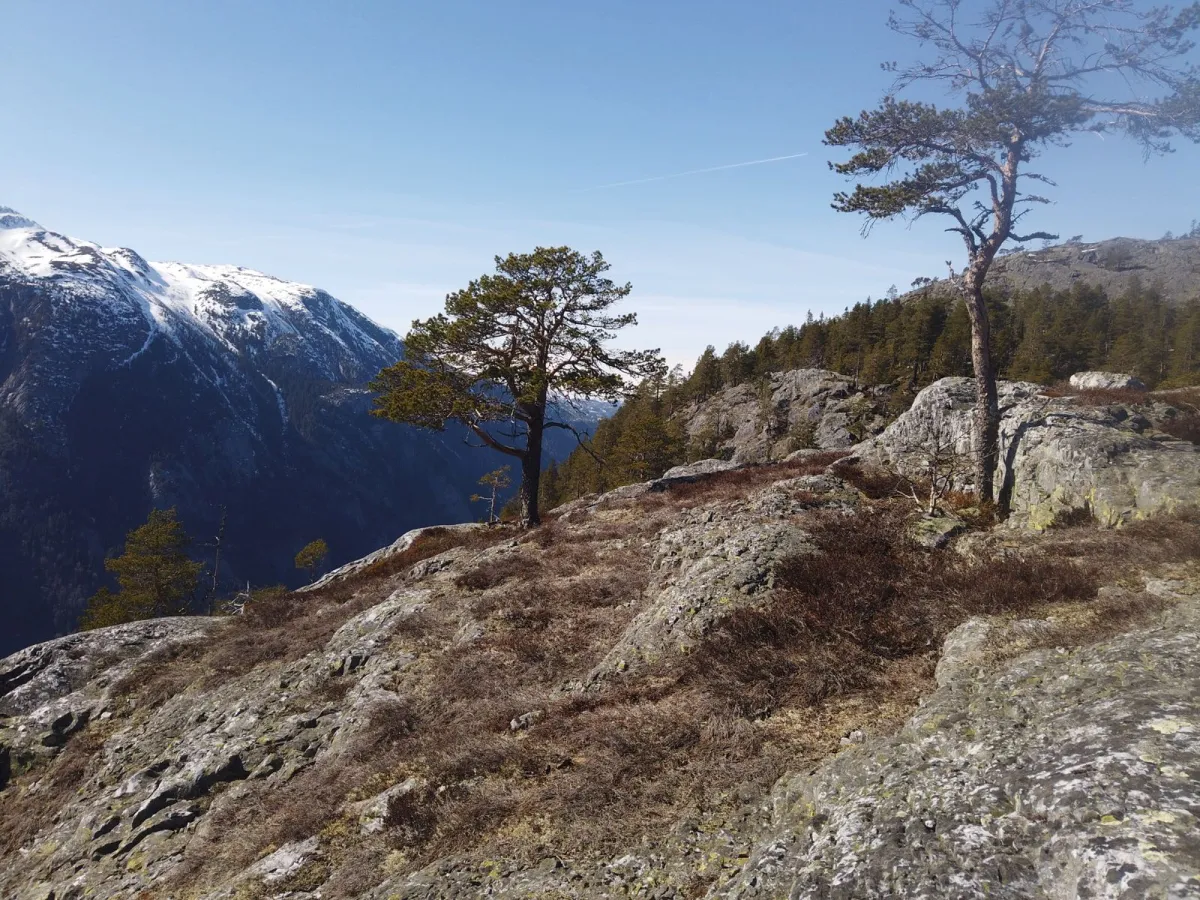
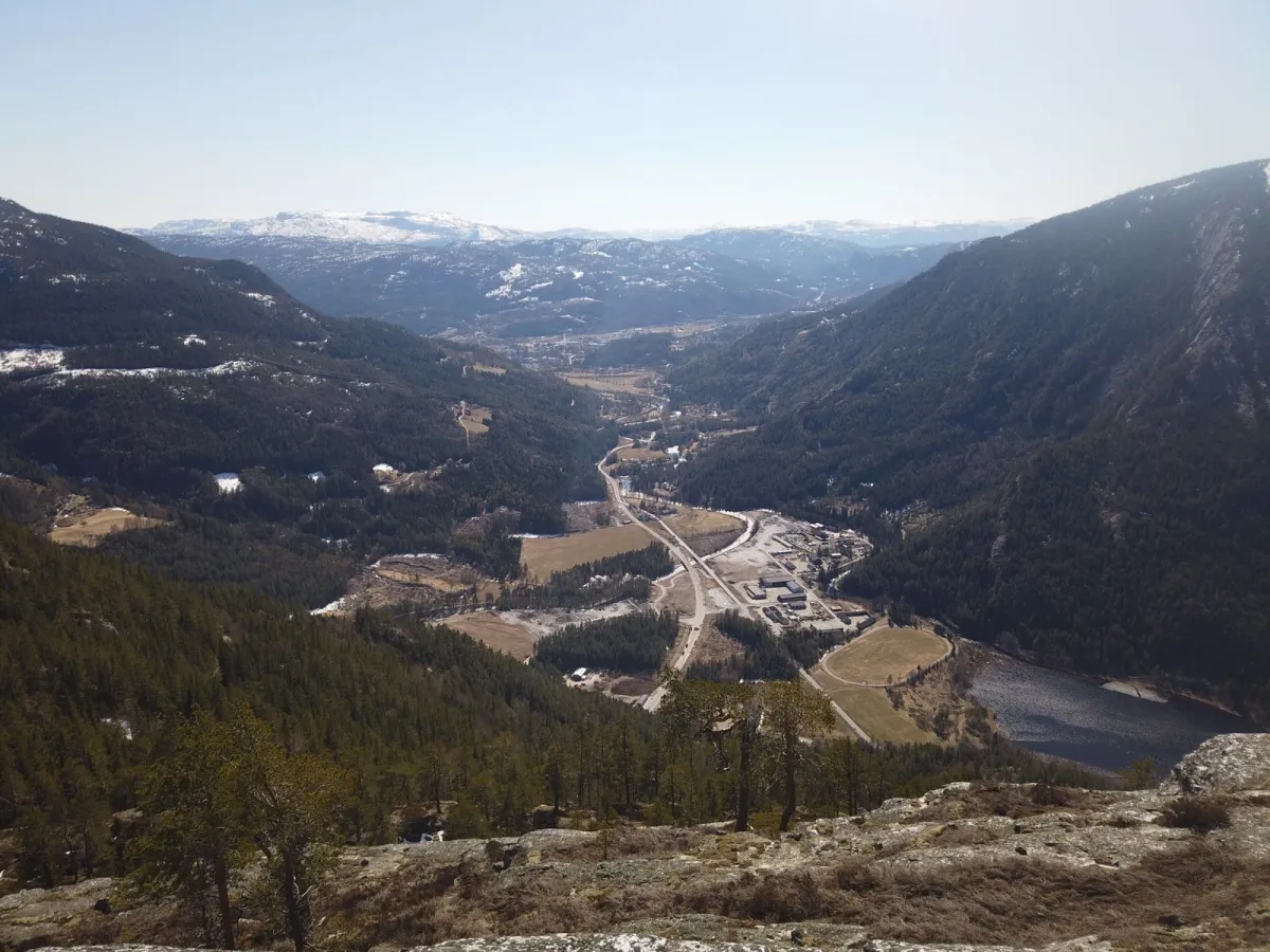
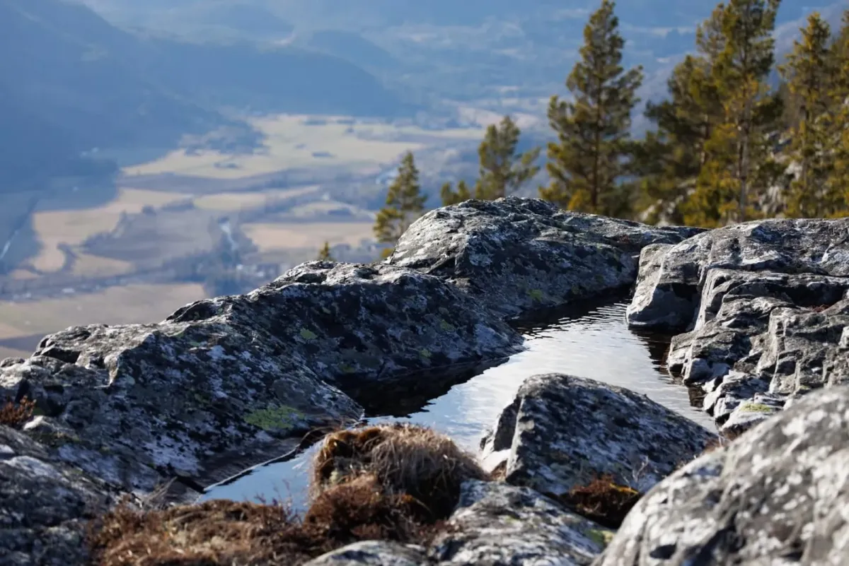
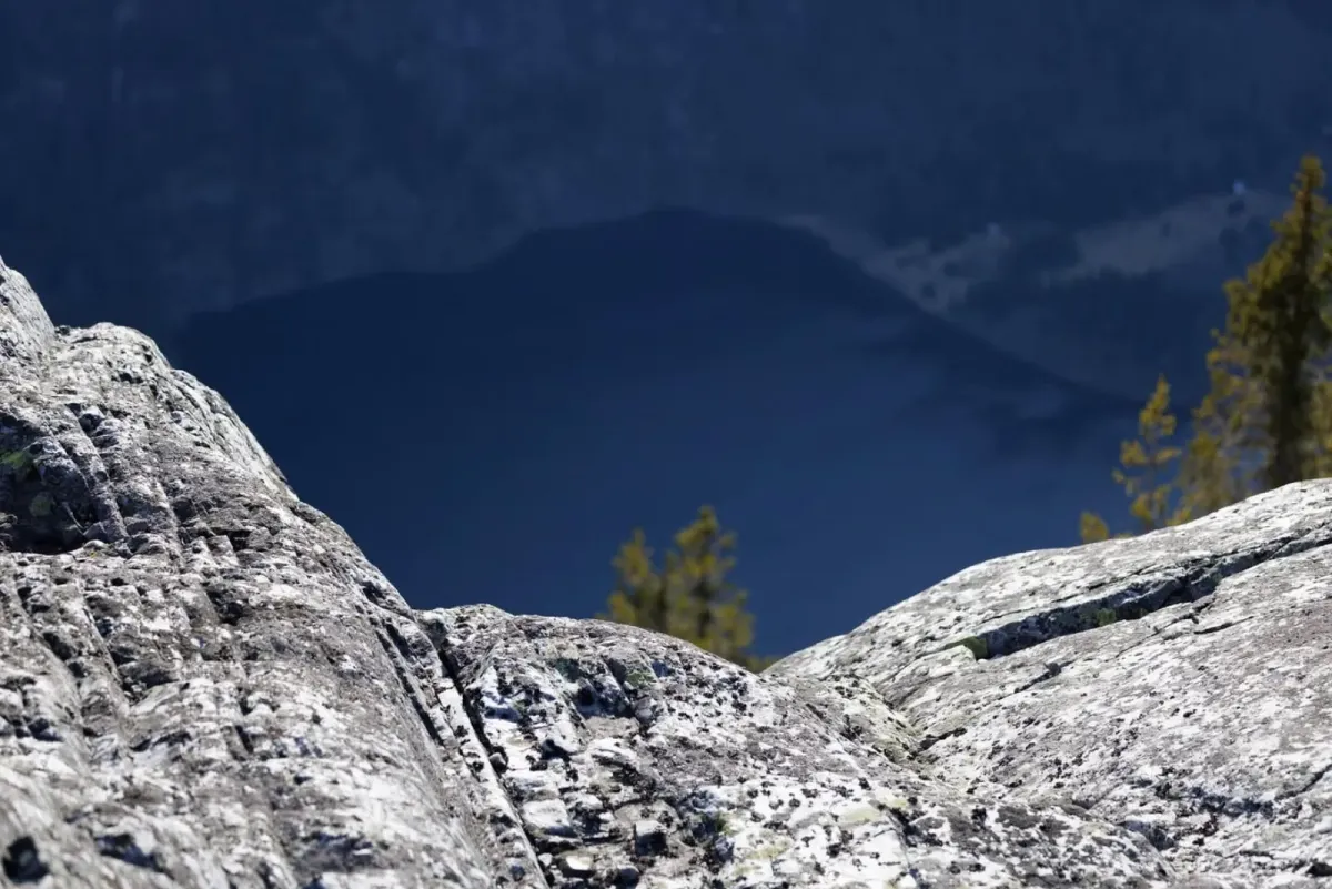
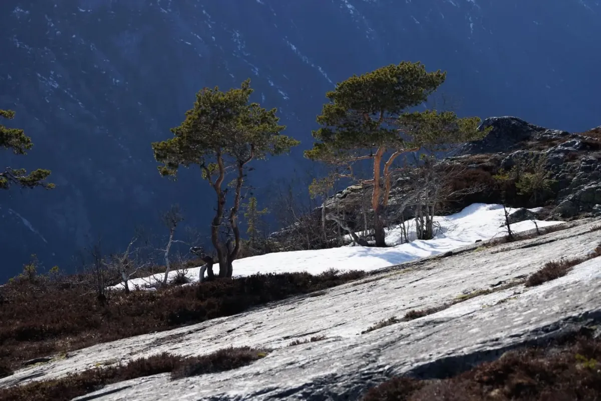
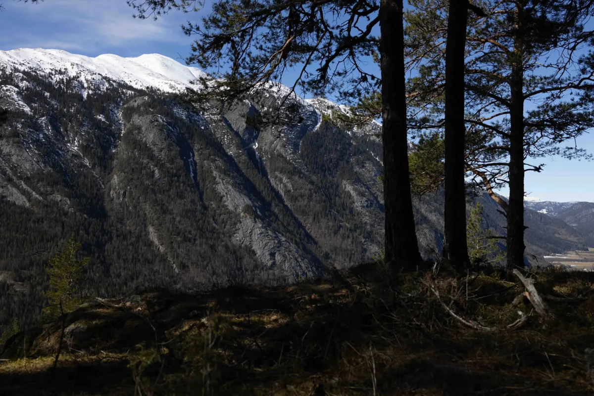
The entire road can be followed up to the ridge, and after a steep climb you will reach the front of Århusnut at 685 meters above sea level. Here you get your first glimpse of the view down towards Seljordsvatnet and the surrounding villages.
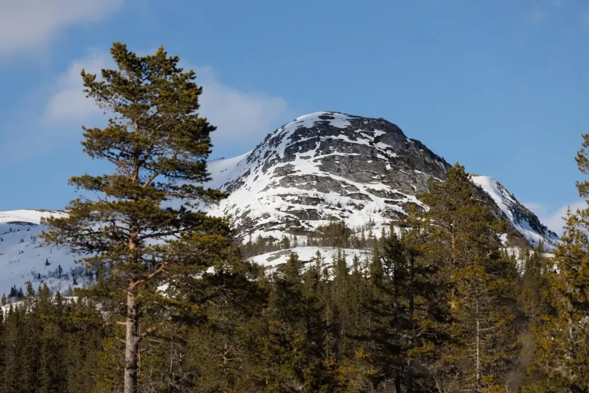
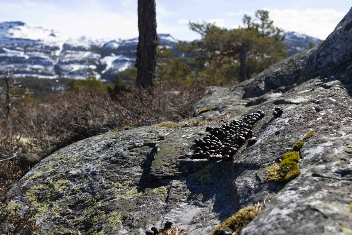
From the front nut, you can either follow the road onwards or take a shorter path over the hill to the left. This will take you to the rear Århusnut, which lies at 790 meters above sea level. The last stretch can be a bit of a climb, but it's well worth the effort: A panoramic view of Skorve, Lifjell and Seljordsvatnet awaits you at the top, and you can often see all the way to Gaustatoppen in clear weather.
For those who want to extend the hike, there is a trail that continues up to Strondfjellet, which is somewhat higher and offers more opportunities for round trips or longer day trips in the area.
Hiking tips:
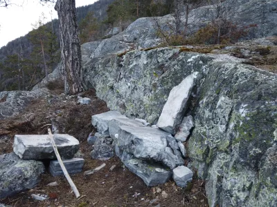
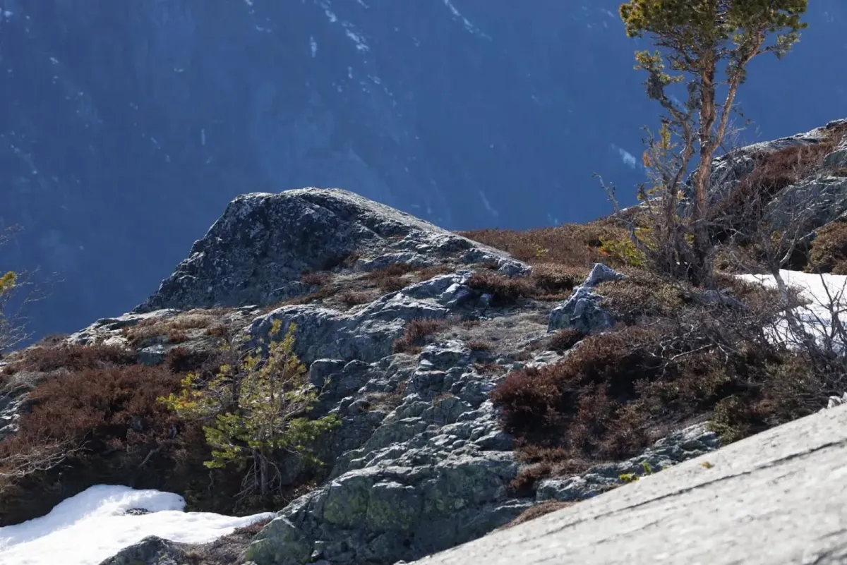
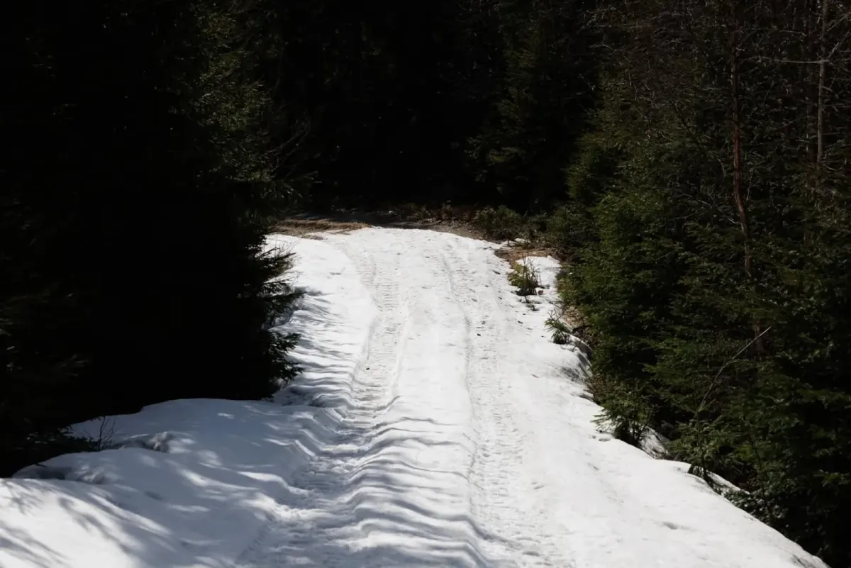
- Wear sturdy shoes - it's steep and sometimes rocky.
- Bring water and a good packed lunch - it's perfect to rest with a view from the top.
- The tour is best suited to those with some experience and good fitness.
The entire road can be followed up to the ridge, and after a steep climb you will reach the front of Århusnut at 685 meters above sea level. Here you get your first glimpse of the view down towards Seljordsvatnet and the surrounding villages.
From the front nut, you can either follow the road onwards or take a shorter path over the hill to the left. This will take you to the rear Århusnut, which lies at 790 meters above sea level. The last stretch can be a bit of a climb, but it's well worth the effort: A panoramic view of Skorve, Lifjell and Seljordsvatnet awaits you at the top, and you can often see all the way to Gaustatoppen in clear weather.
For those who want to extend the hike, there is a trail that continues up to Strondfjellet, which is somewhat higher and offers more opportunities for round trips or longer day trips in the area.
Hiking tips:
- Wear sturdy shoes - it's steep and sometimes rocky.
- Bring water and a good packed lunch - it's perfect to rest with a view from the top.
- The tour is best suited to those with some experience and good fitness.
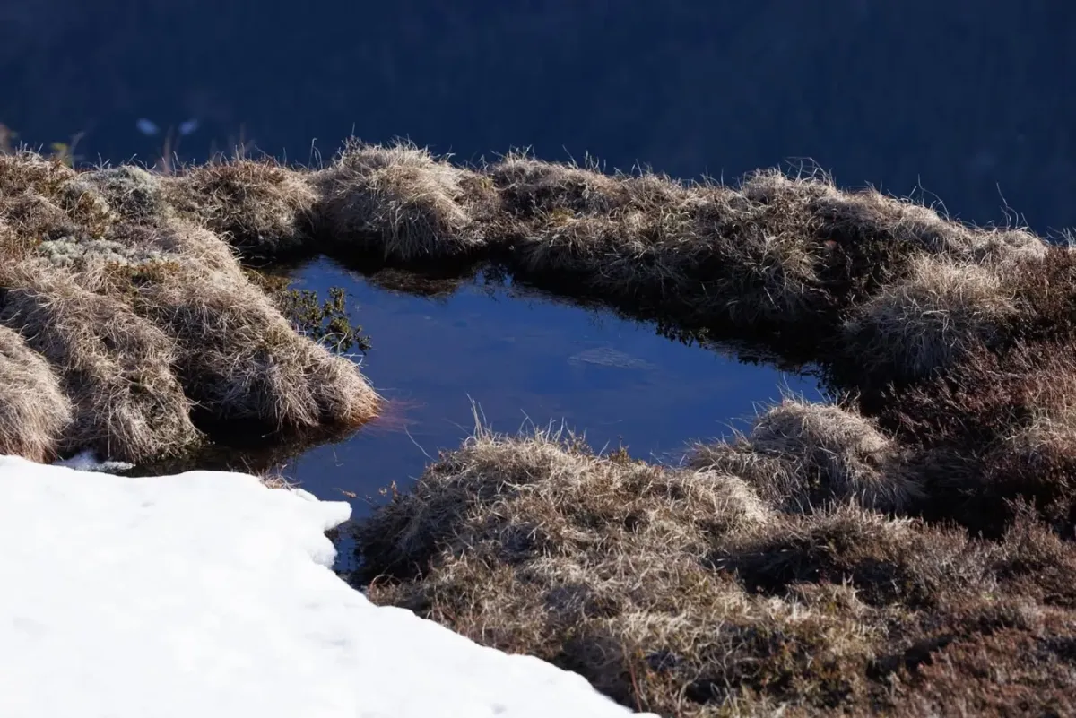
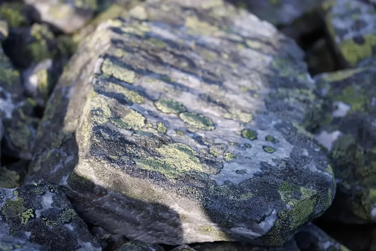
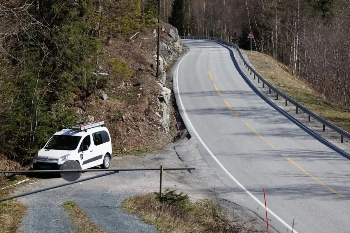
Photos (17)
1 / 17
User photos (4)
1 / 4
Practical info
- Direction
- tur-retur
- Season
- Summer
- Trail quality
- 1/5
- Solitude
- 2/5
Got any good trail tips?
Seljord
Telemark
fintur.no
Telemark
fintur.no