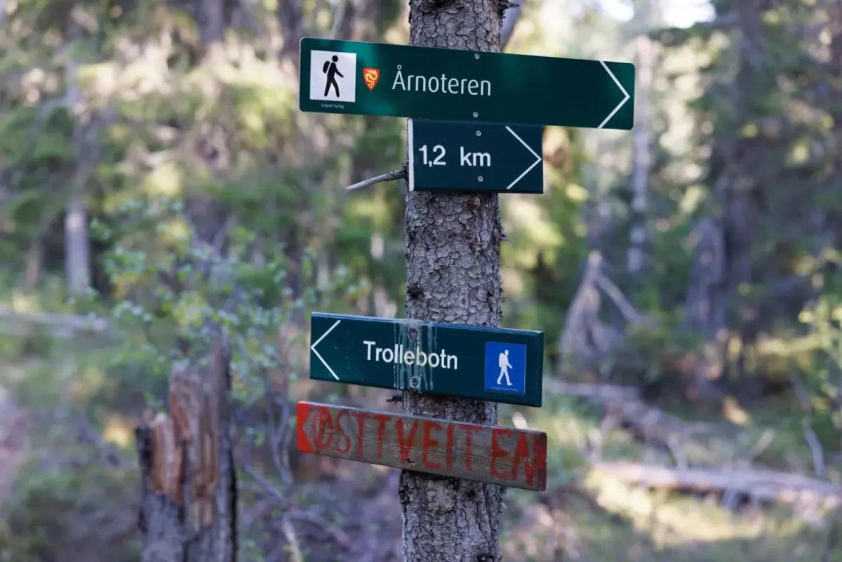
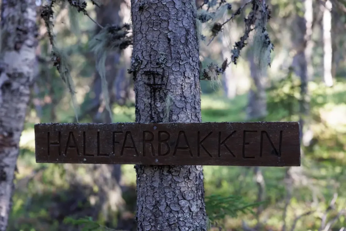
Årnoteren
 T
T
Weather forecast
Hentar vêrdata…
Kjelde: Yr.no (Meteorologisk institutt)
Map and route
S Start
M Finish
▲ Highest point
▼ Lowest point
km Main route
km Alternativ rute
↕ m Elevation
About this hike
Summit tour to Årnoteren from Raudkleiv
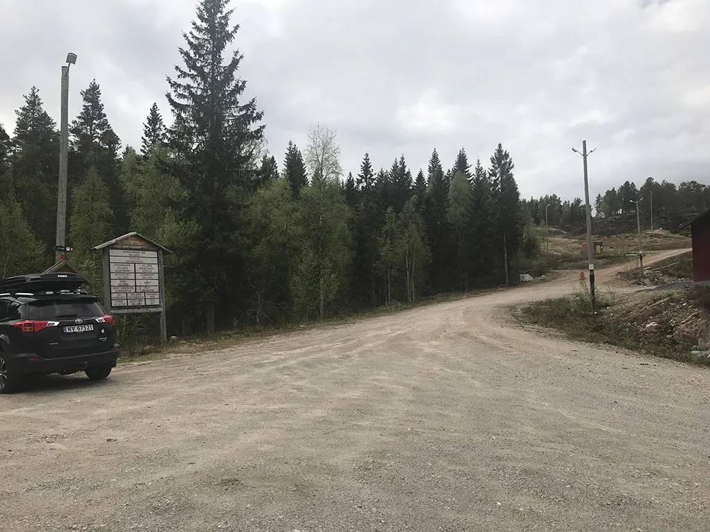
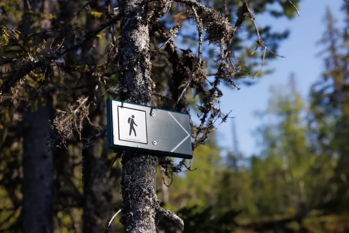
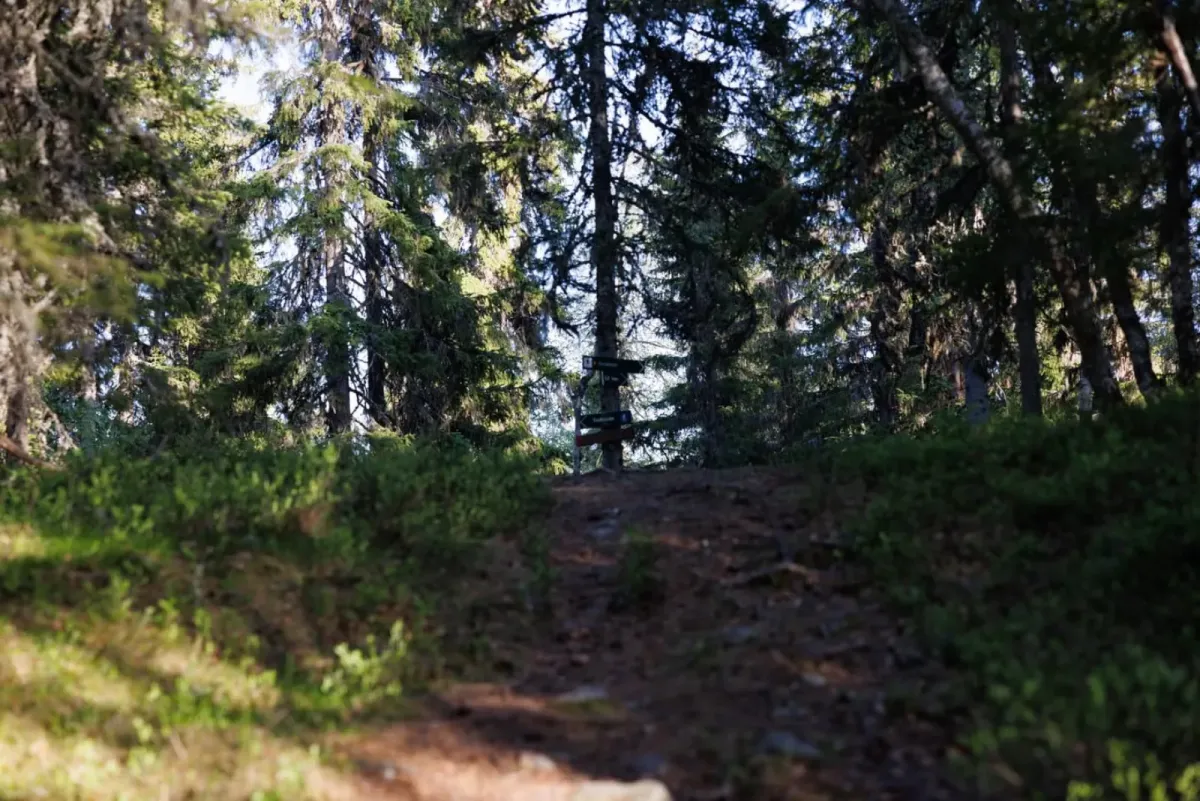
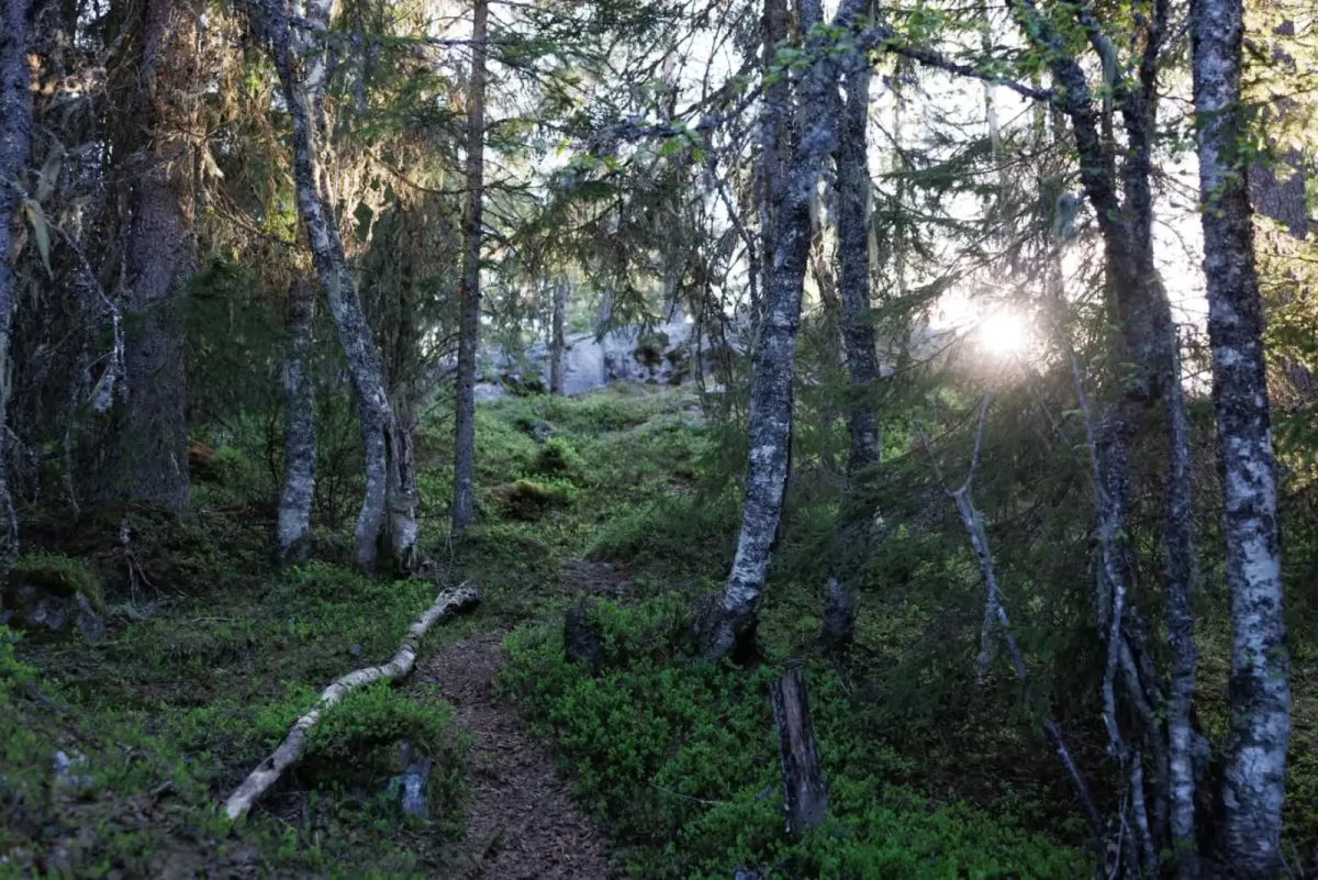
The hike starts from Raudkleiv, where you'll find a spacious parking lot right next to the ski resort. From here you follow a well-marked trail up towards Årnoteren - a well-known and popular viewpoint in Seljord.
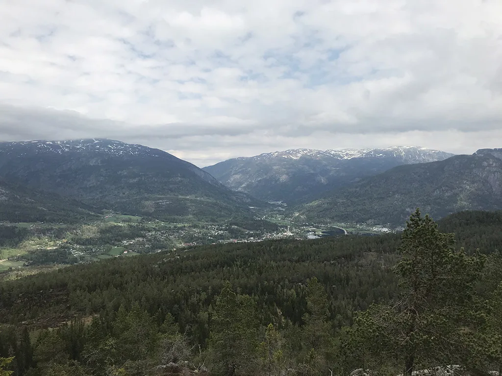
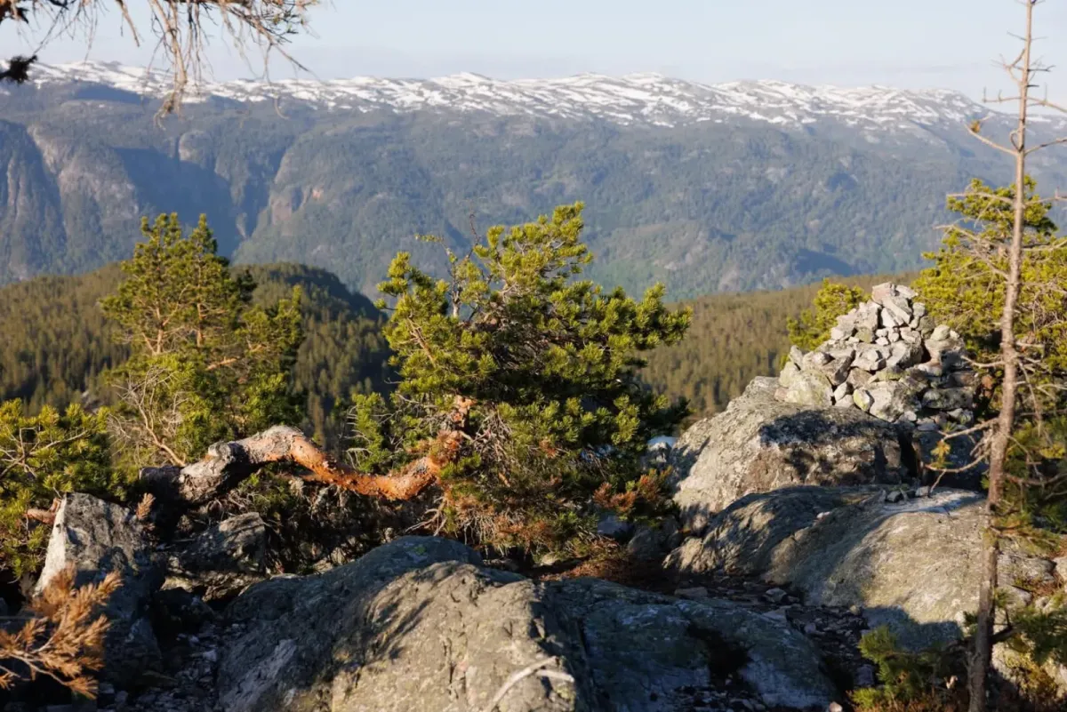
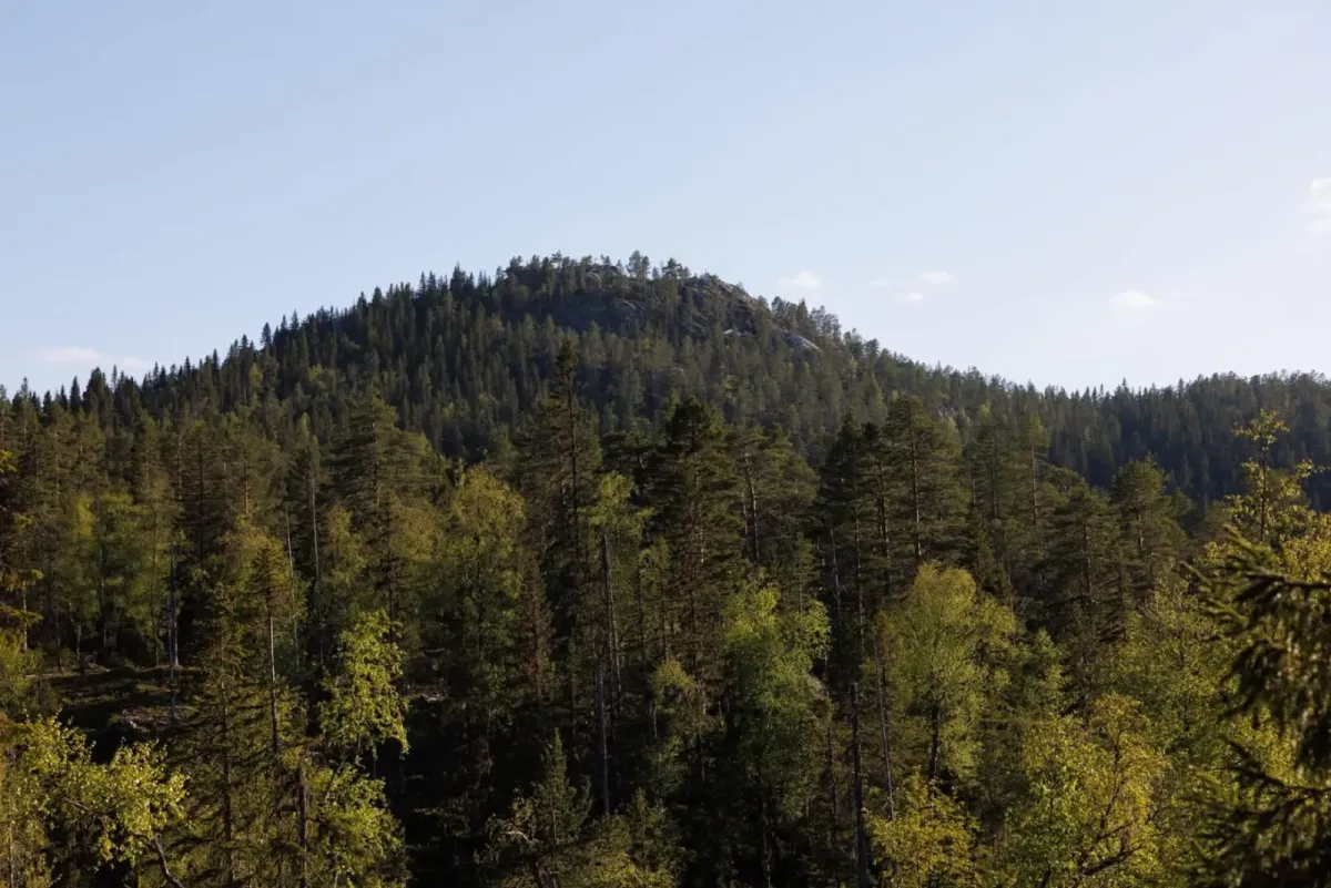
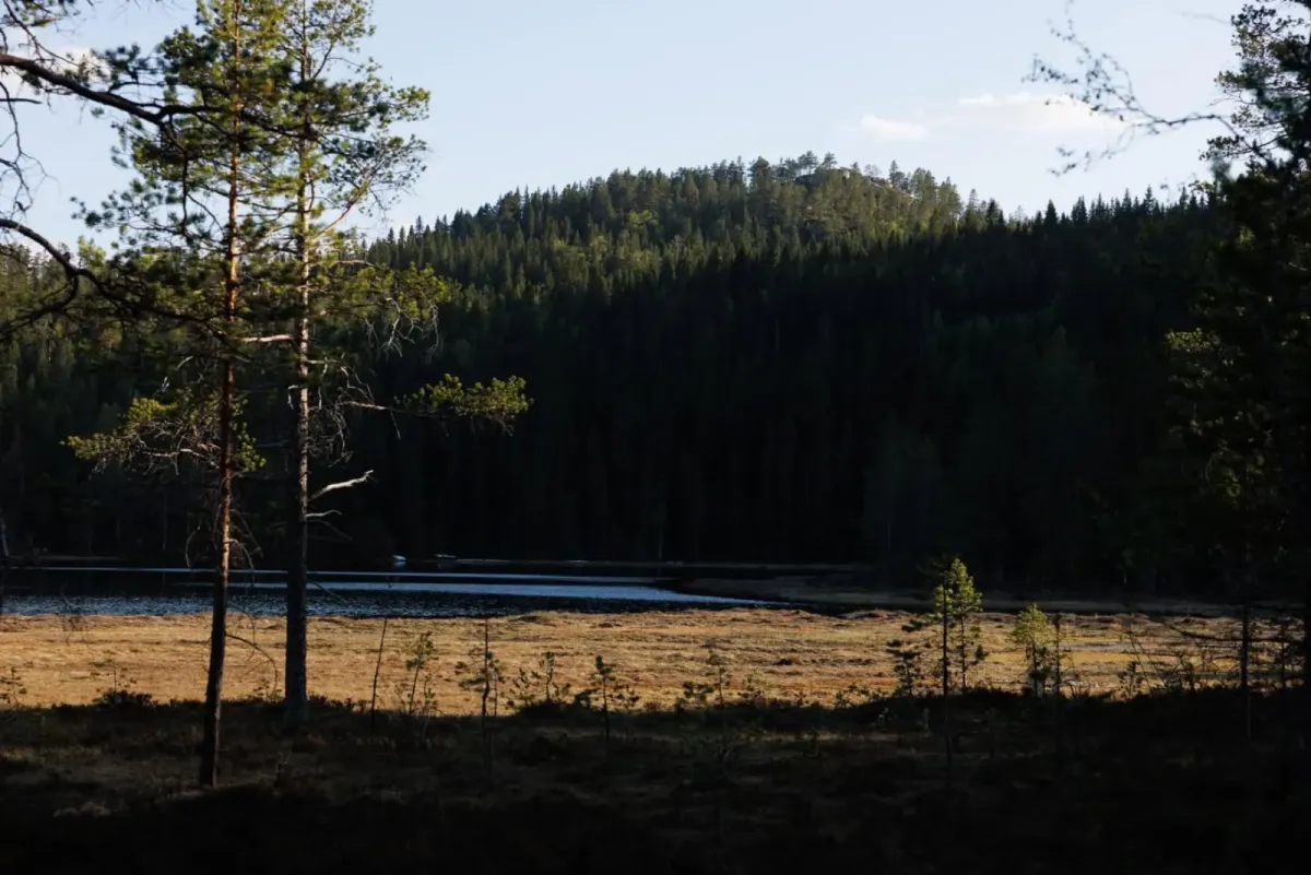
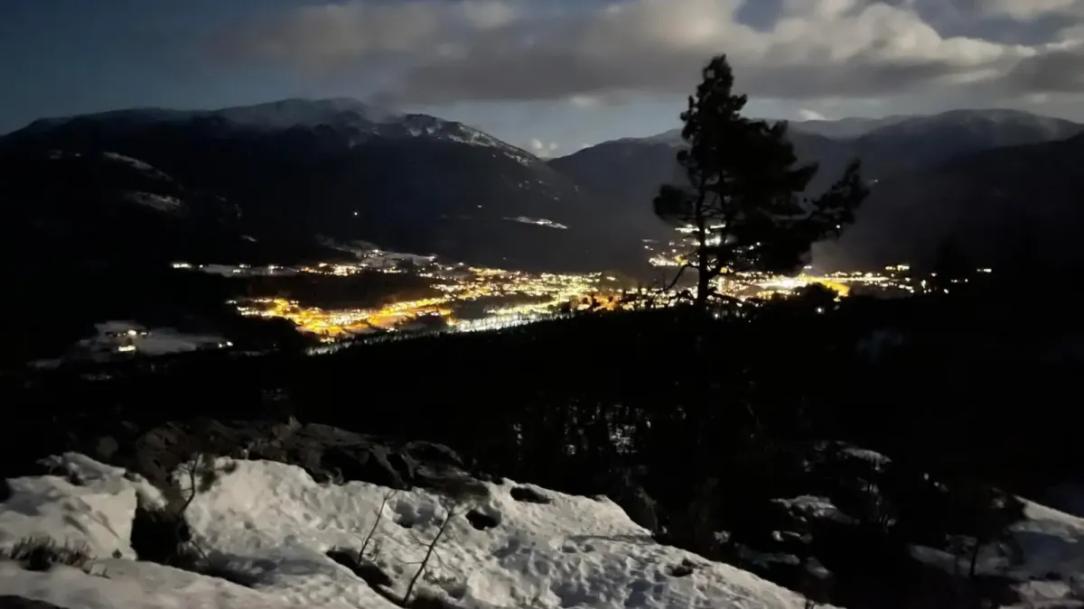
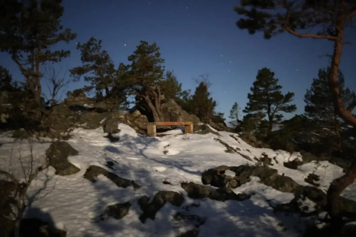
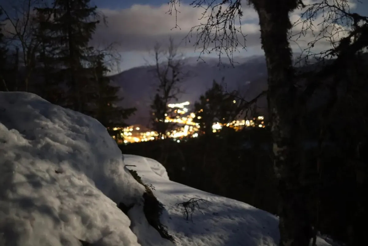
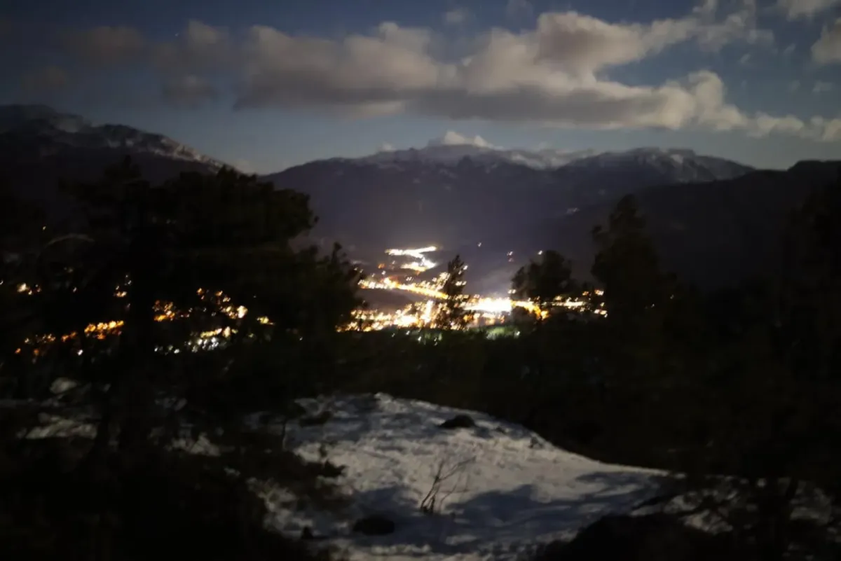
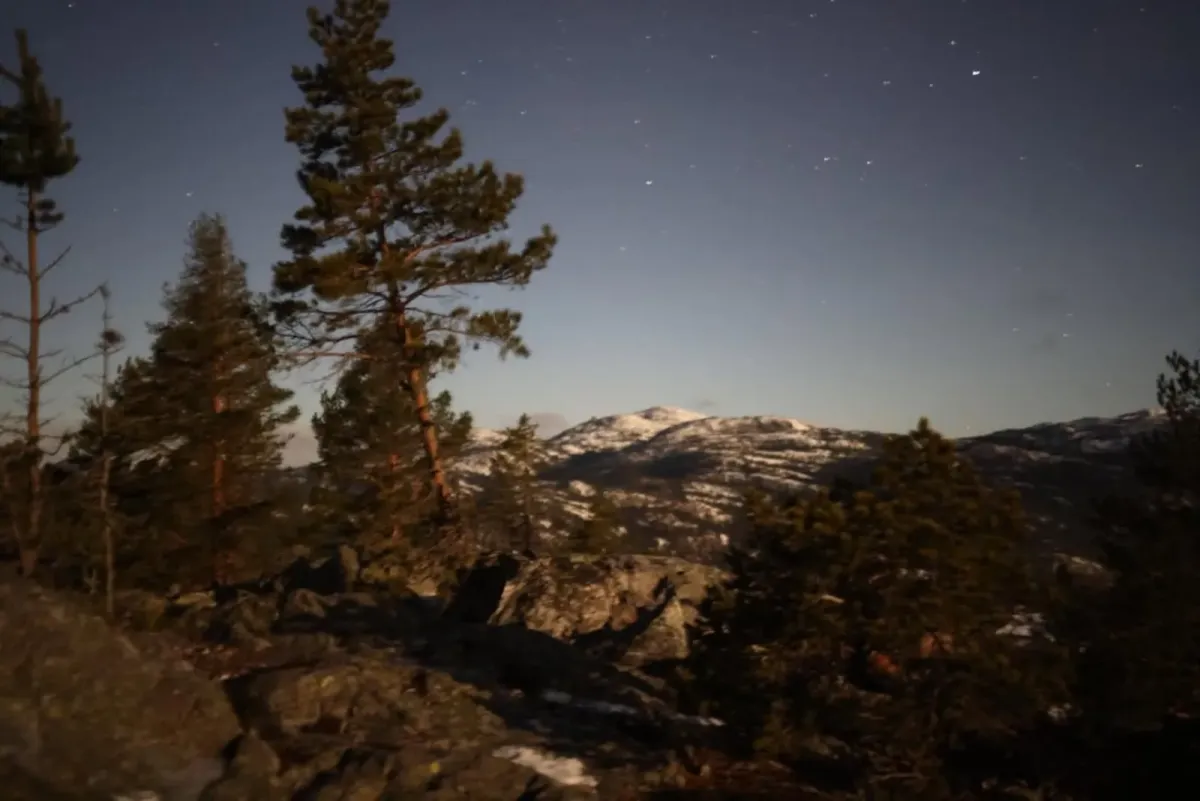
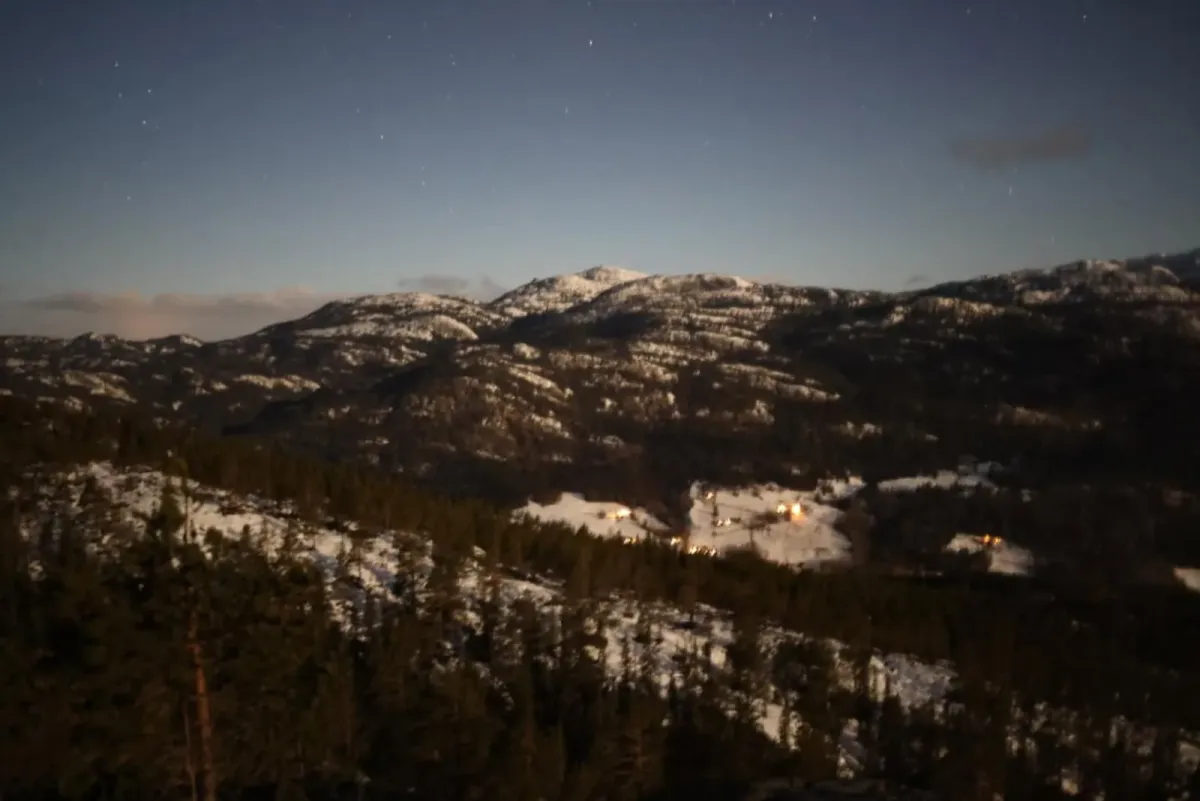
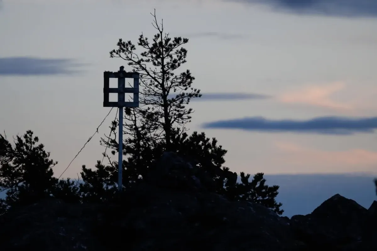
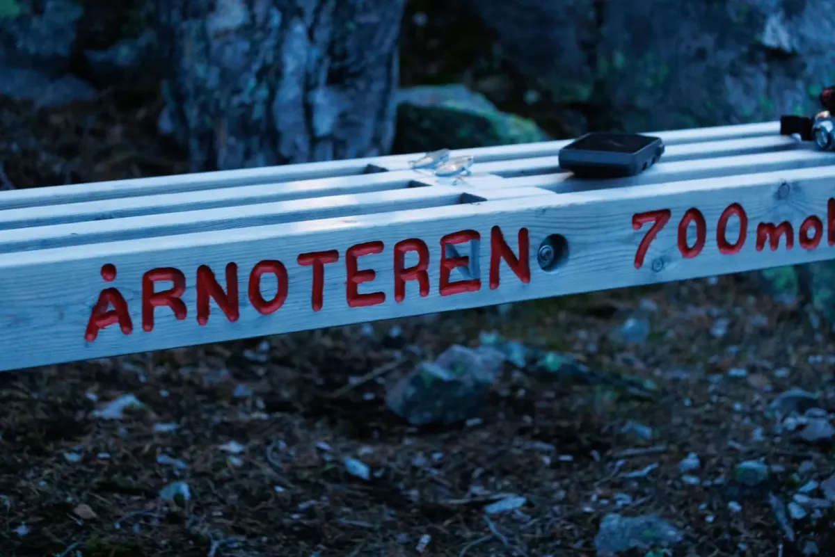
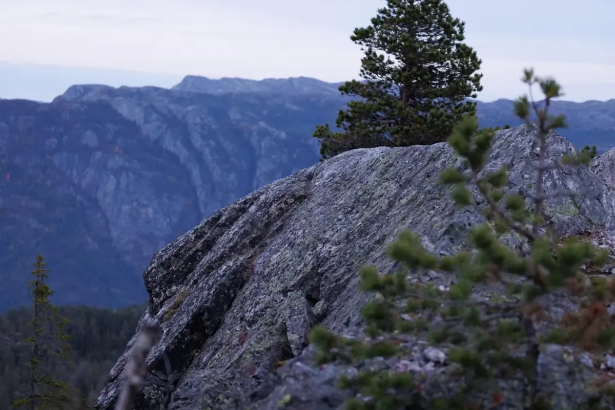
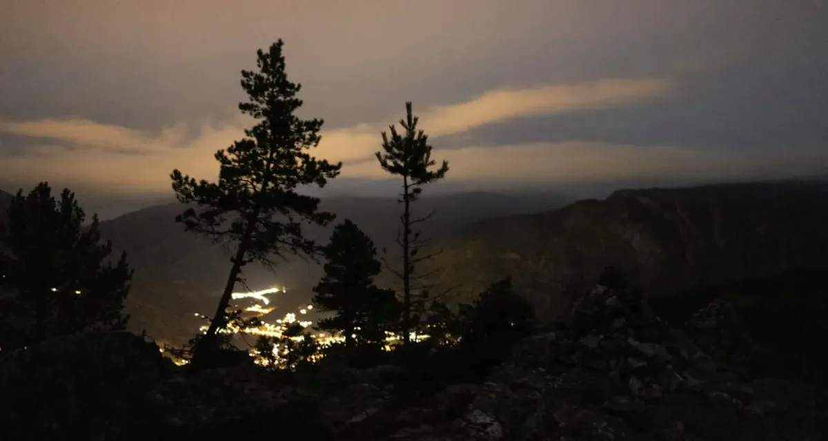
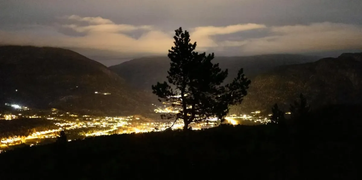
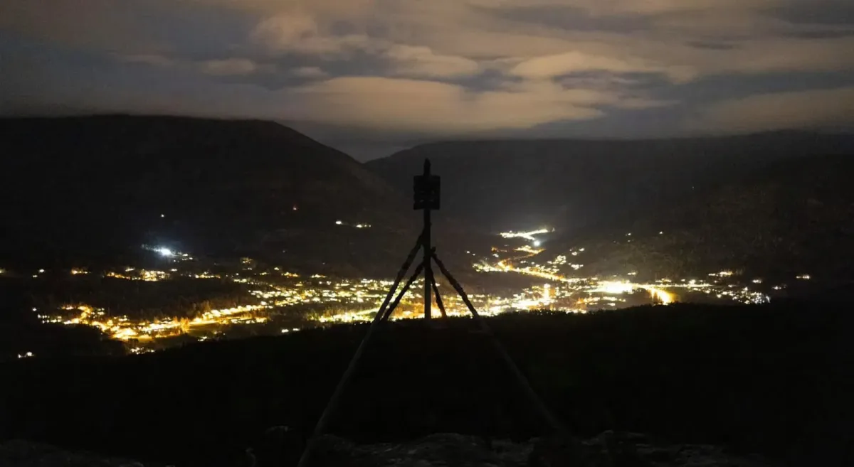
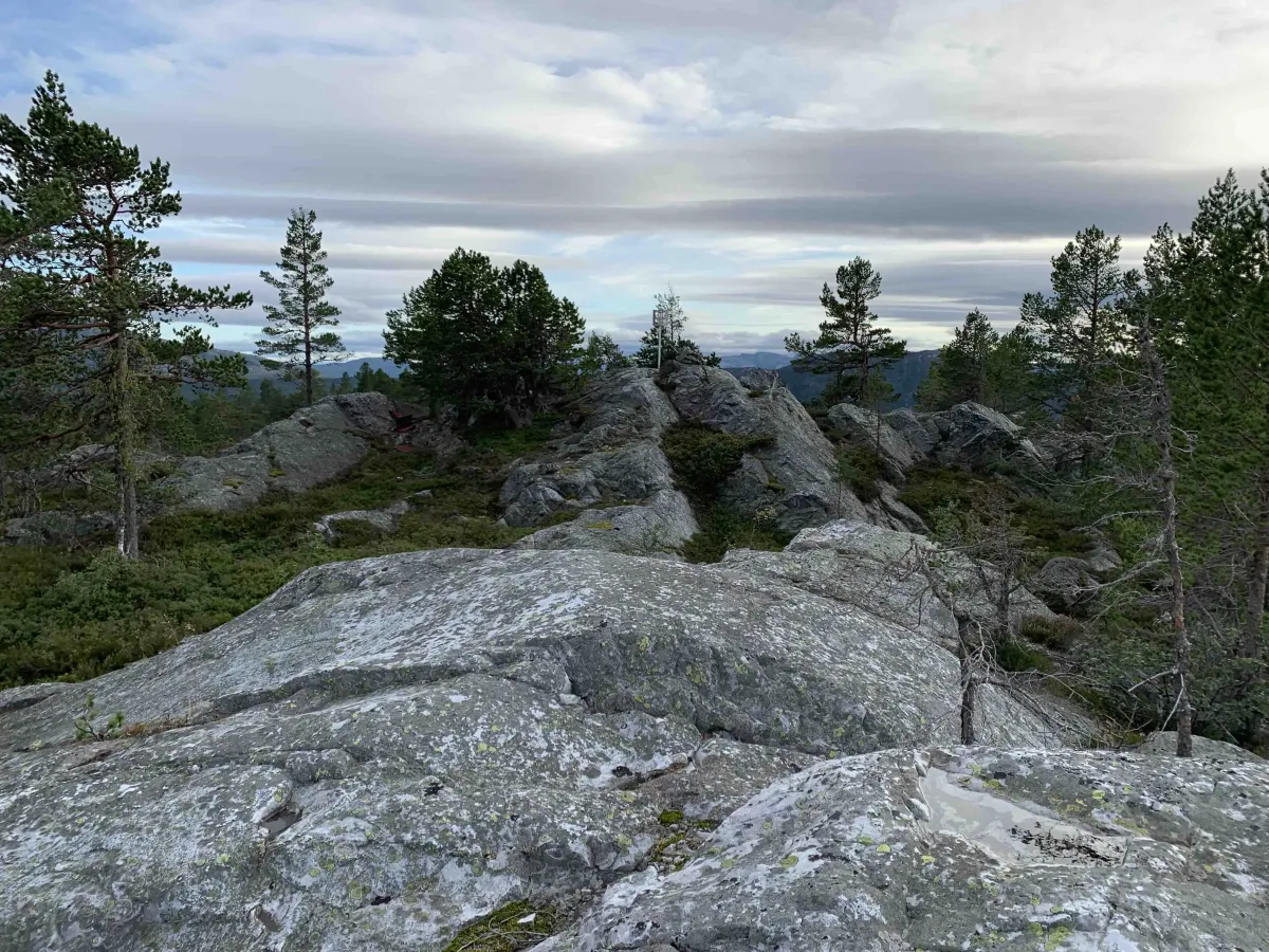
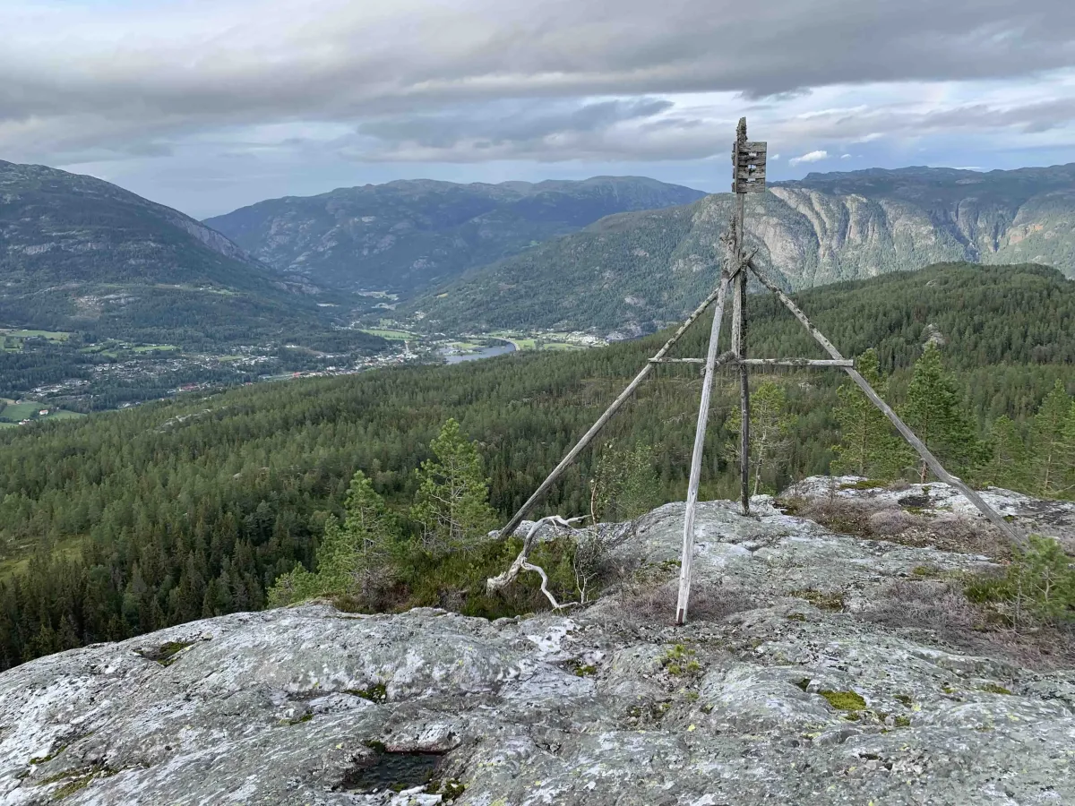
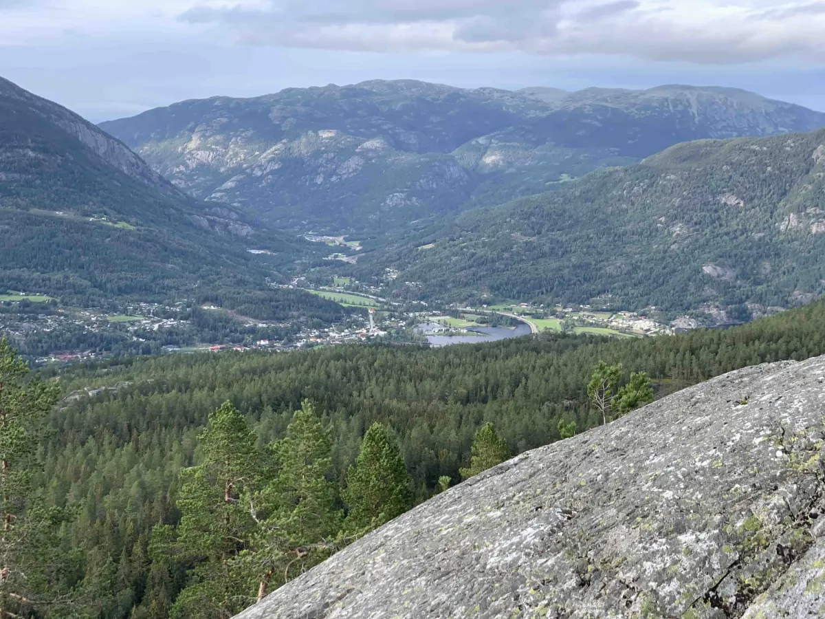
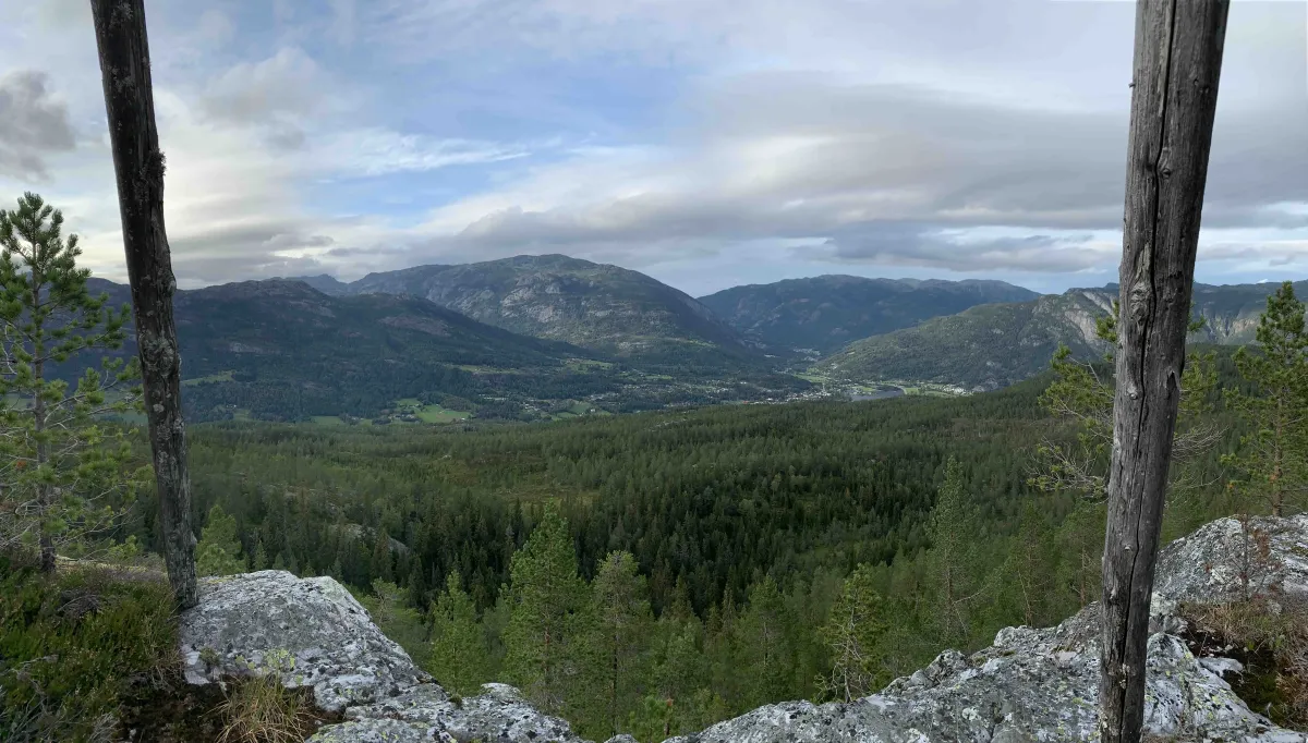
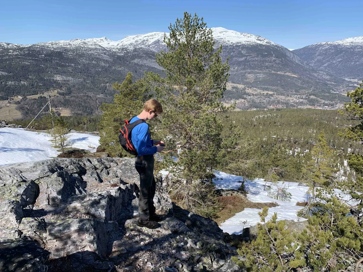
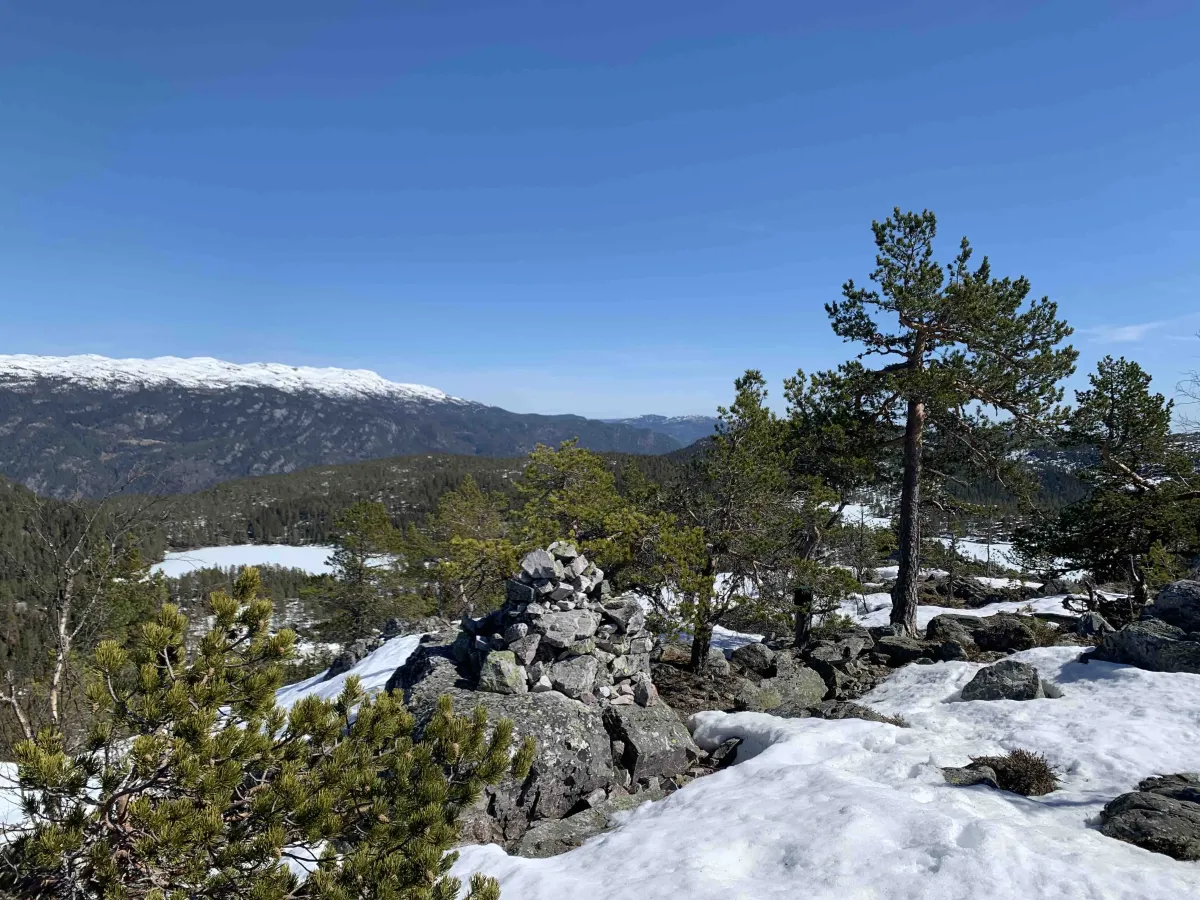
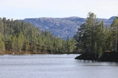
Årnoteren is about 700 meters above sea level, and from the top you get a great view of Seljord center, Skorvefjell, Hattefjell and Bjørgefjell. On a clear day, you can see far beyond West Telemark and into neighboring municipalities.
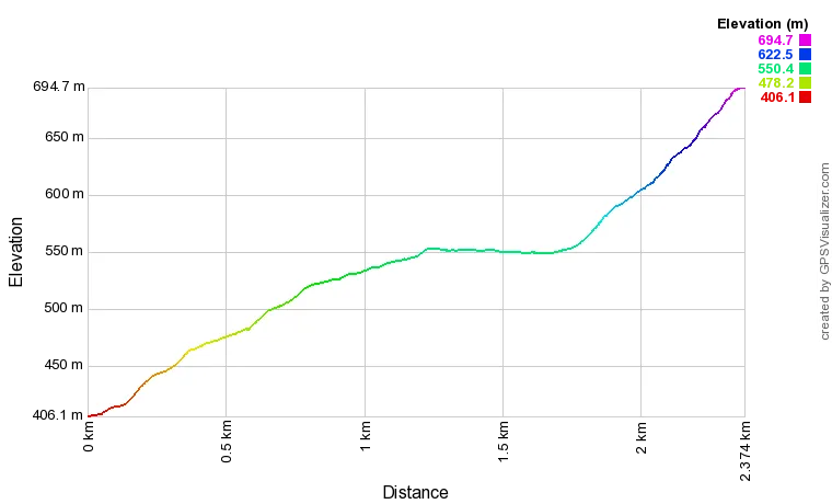
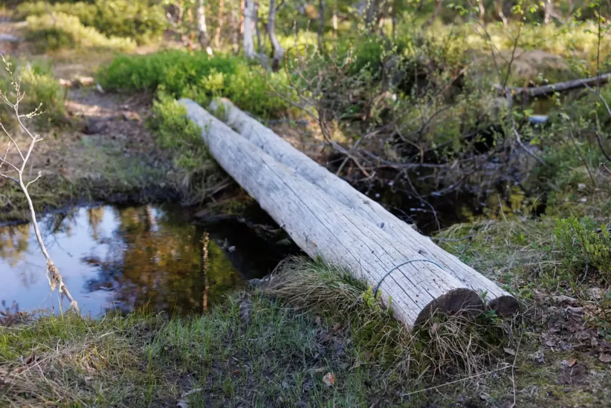
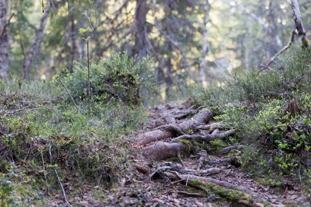
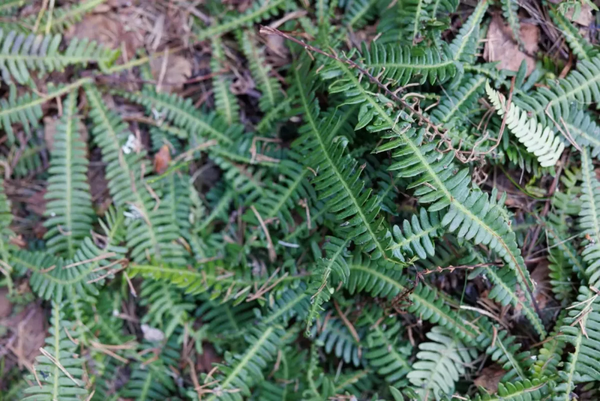
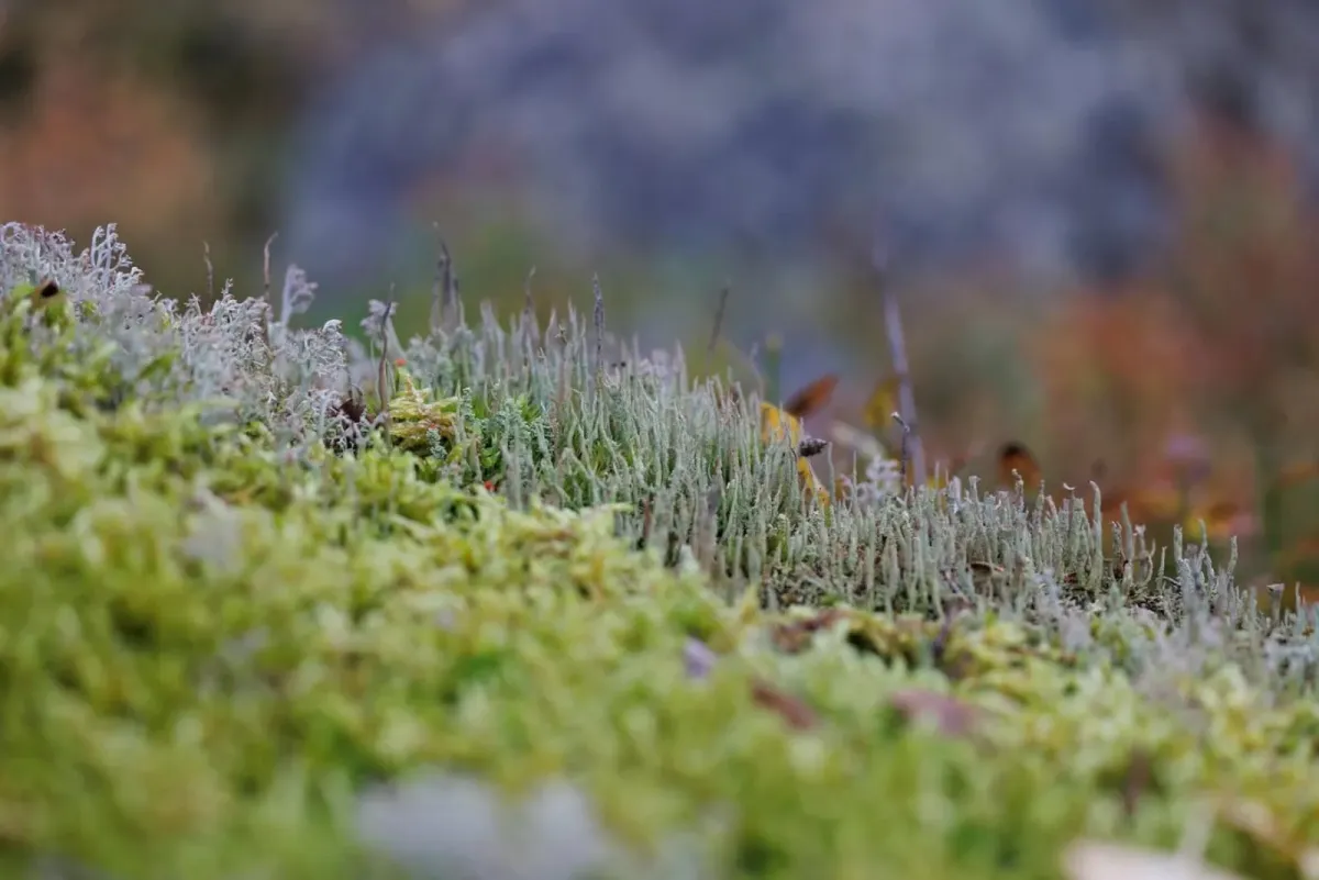
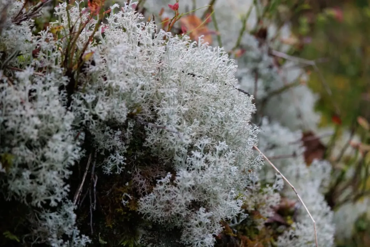
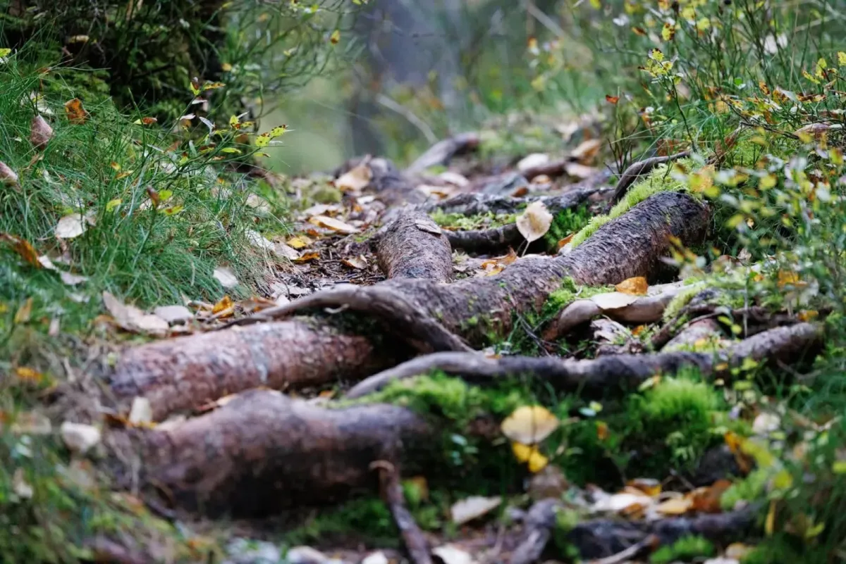
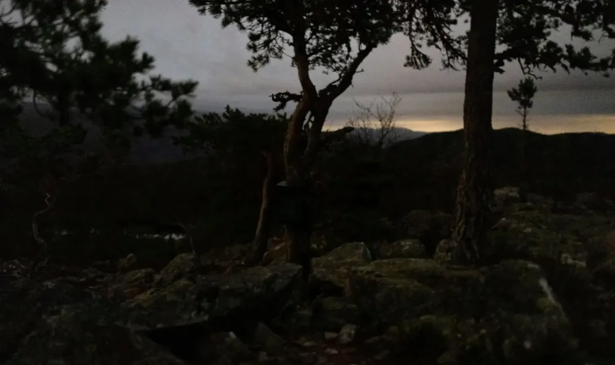
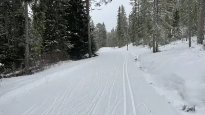
The hike is easy to moderately demanding, and most people can do it in around an hour each way. The last stretch up to the top - about 4-500 meters - is quite steep, but it's fine if you take your time. The surface alternates between good paths, a bit of bog and mountain rock, so good shoes are an advantage, especially if it has been wet.
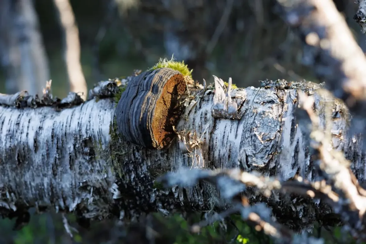
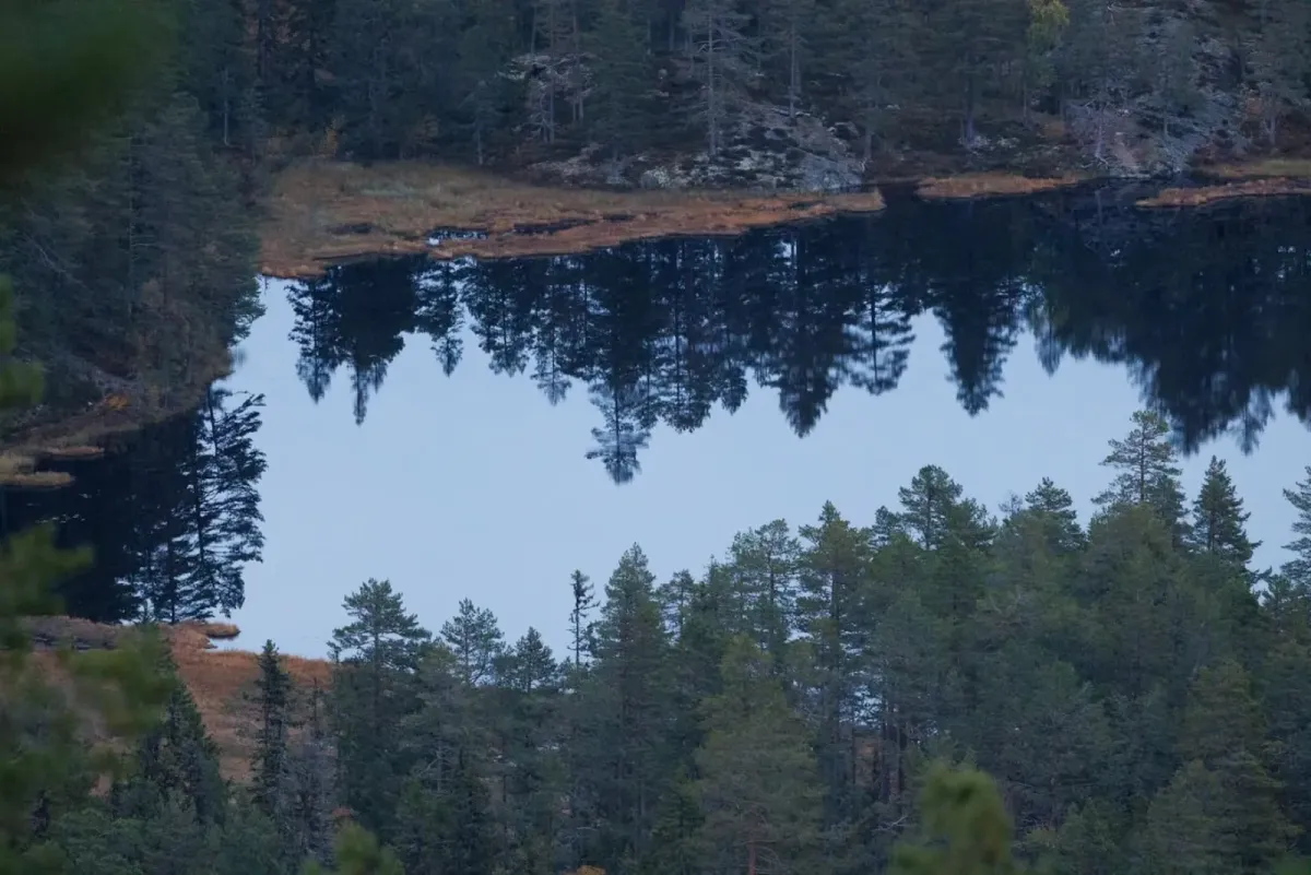
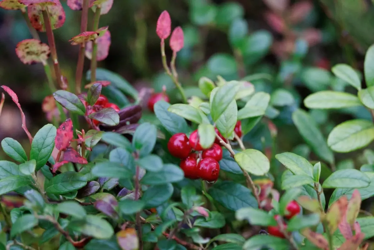
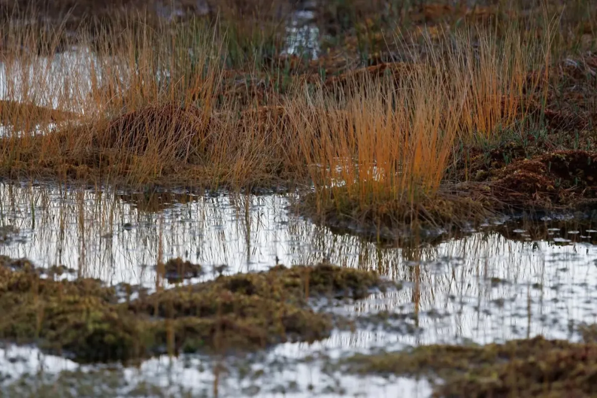
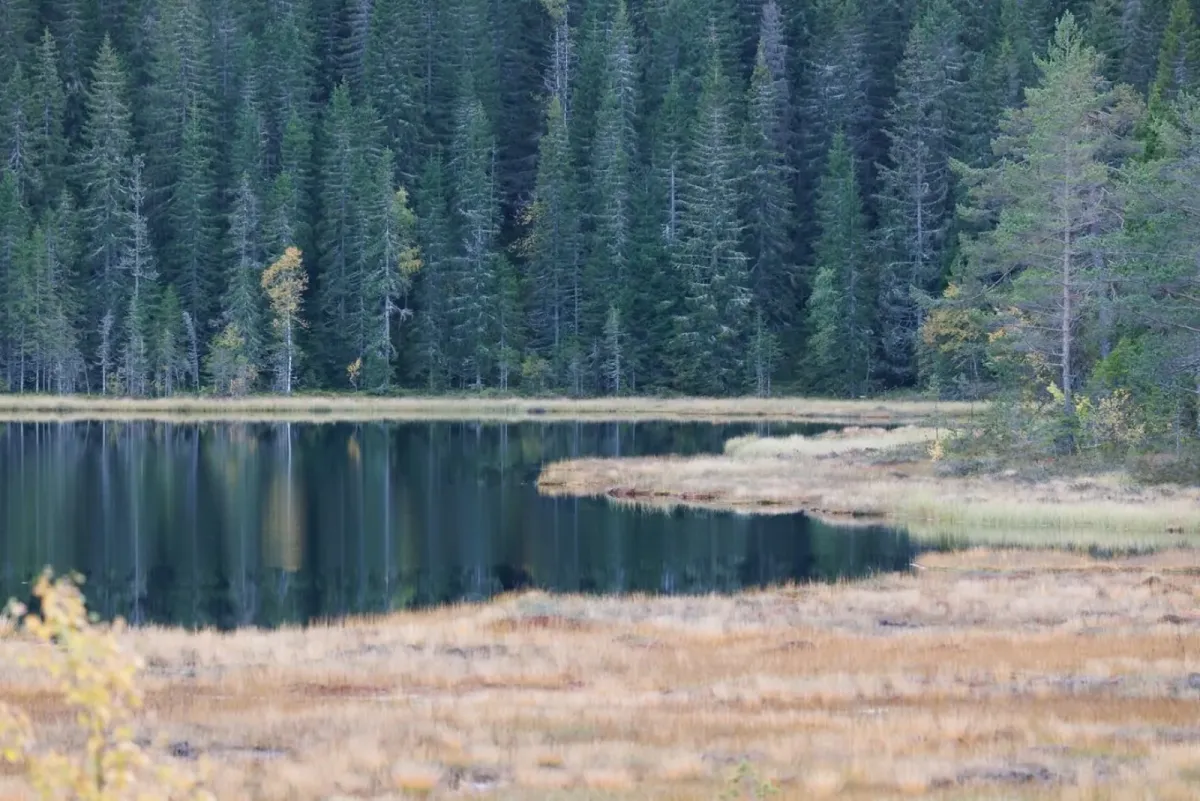
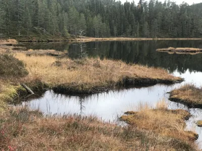
Along the route you'll pass both Havretjønn and Årnotertjønni, two small idyllic lakes that make the walk extra pleasant. This is a popular hike for families, dog owners and exercisers - and many people use it as an afternoon or evening walk.
Årnoteren is also suitable as part of a longer round trip for those who want an extended trail, and in winter you can go ski touring starting from the same parking lot.
The hike starts from Raudkleiv, where you'll find a spacious parking lot right next to the ski resort. From here you follow a well-marked trail up towards Årnoteren - a well-known and popular viewpoint in Seljord.
Årnoteren is about 700 meters above sea level, and from the top you get a great view of Seljord center, Skorvefjell, Hattefjell and Bjørgefjell. On a clear day, you can see far beyond West Telemark and into neighboring municipalities.
The hike is easy to moderately demanding, and most people can do it in around an hour each way. The last stretch up to the top - about 4-500 meters - is quite steep, but it's fine if you take your time. The surface alternates between good paths, a bit of bog and mountain rock, so good shoes are an advantage, especially if it has been wet.
Along the route you'll pass both Havretjønn and Årnotertjønni, two small idyllic lakes that make the walk extra pleasant. This is a popular hike for families, dog owners and exercisers - and many people use it as an afternoon or evening walk.
Årnoteren is also suitable as part of a longer round trip for those who want an extended trail, and in winter you can go ski touring starting from the same parking lot.
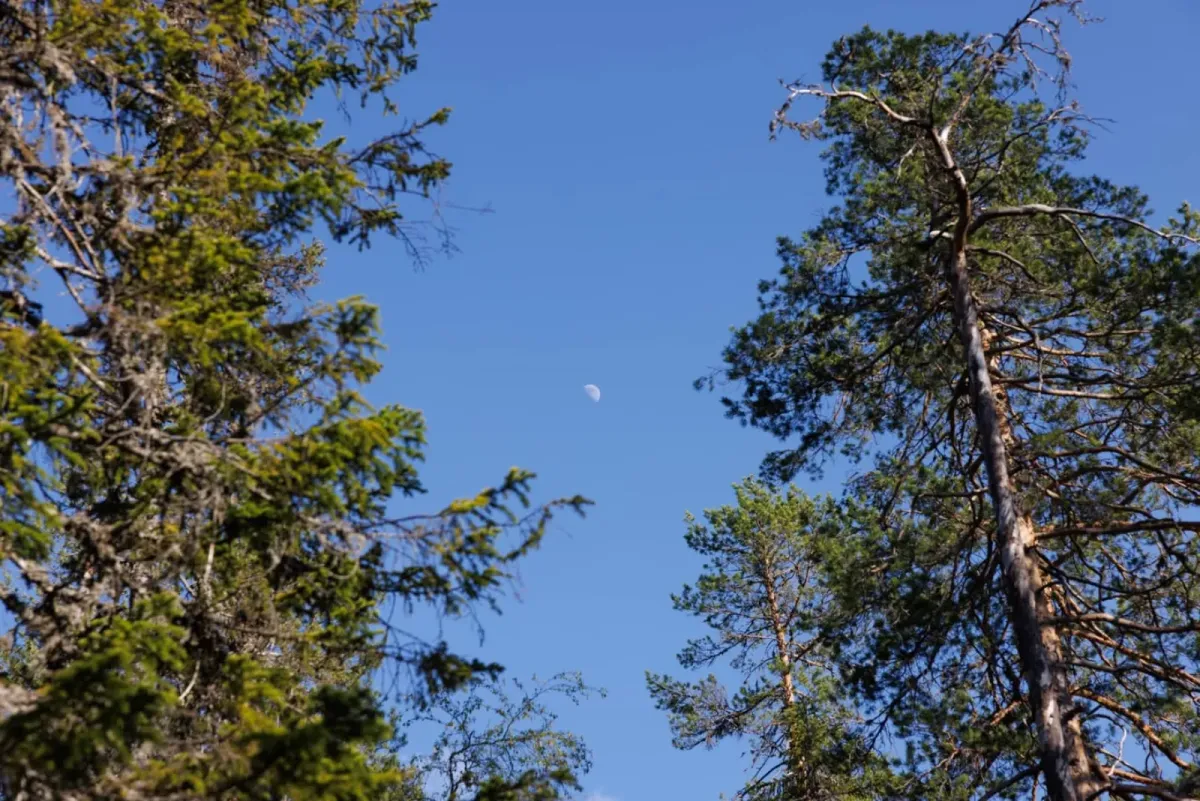
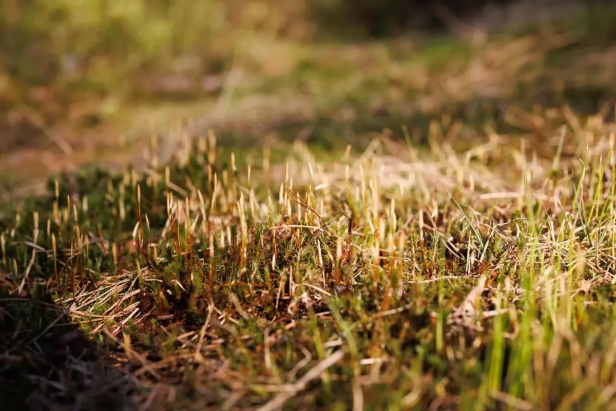
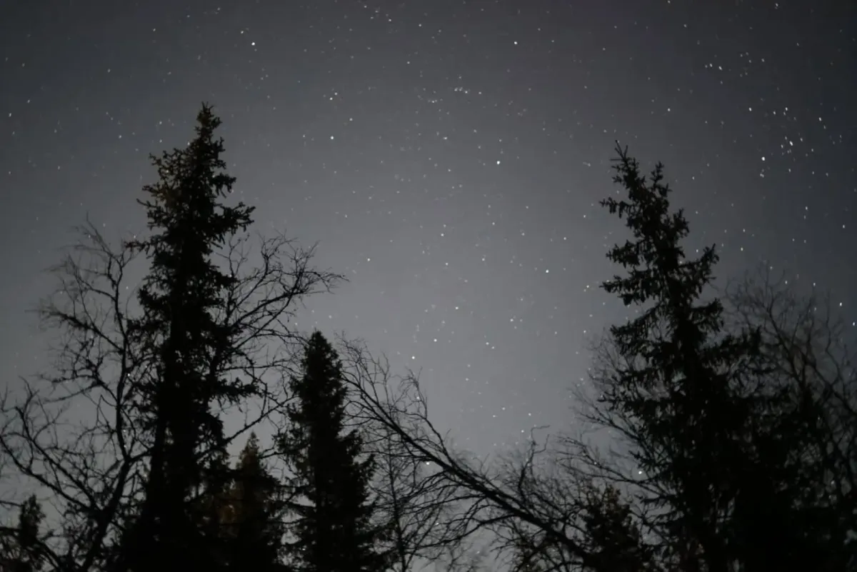
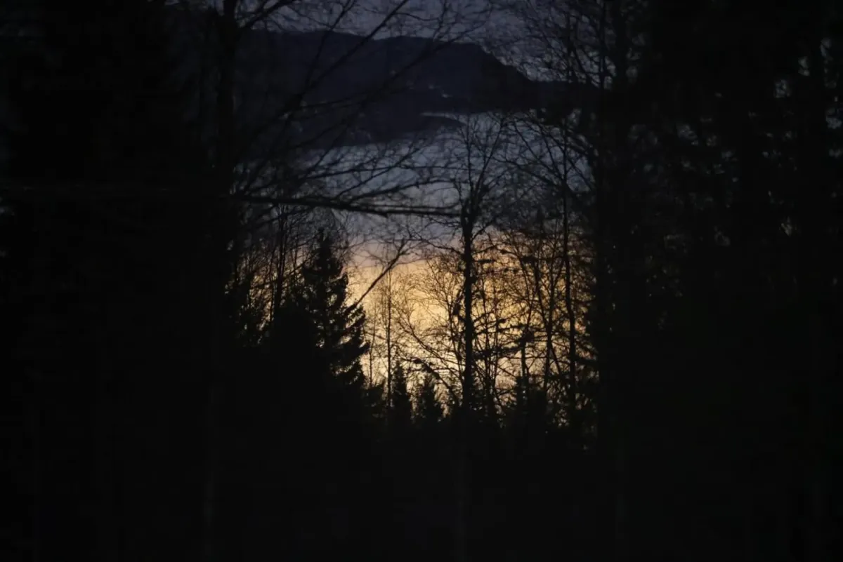
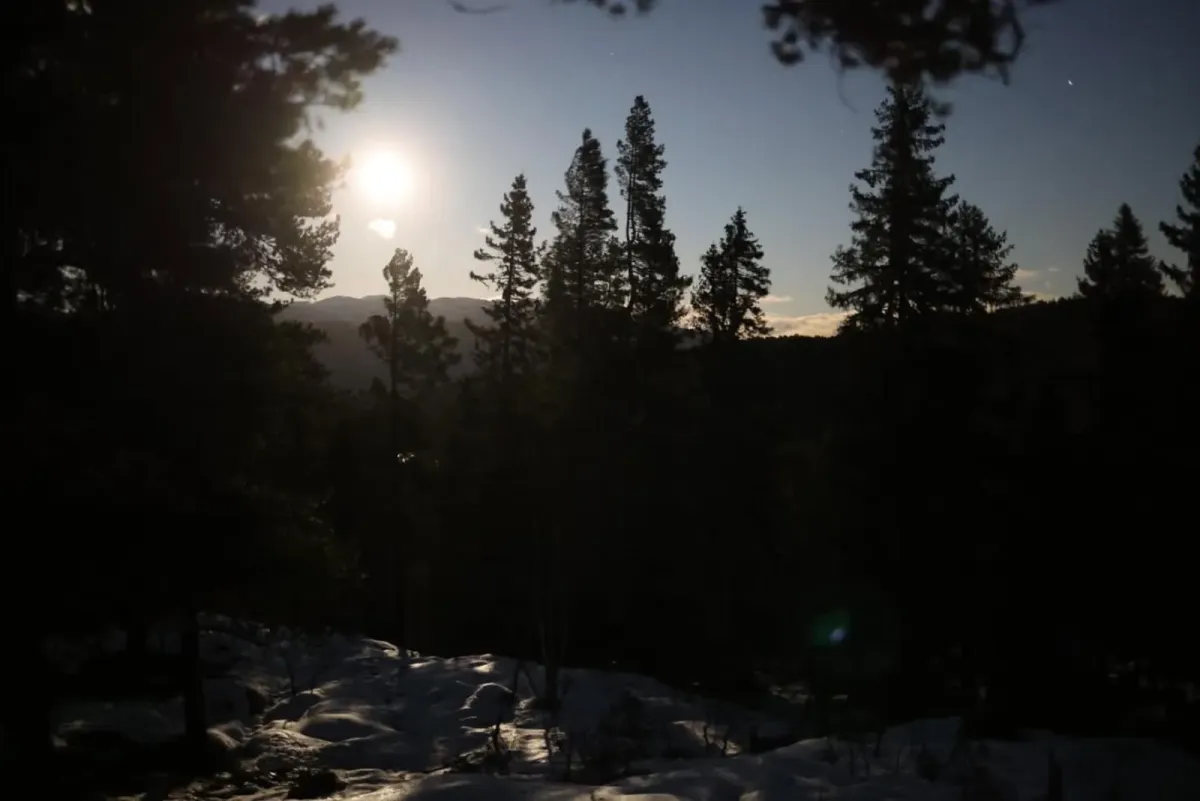
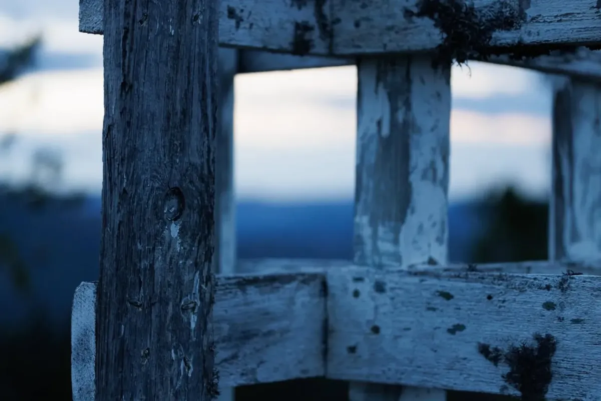
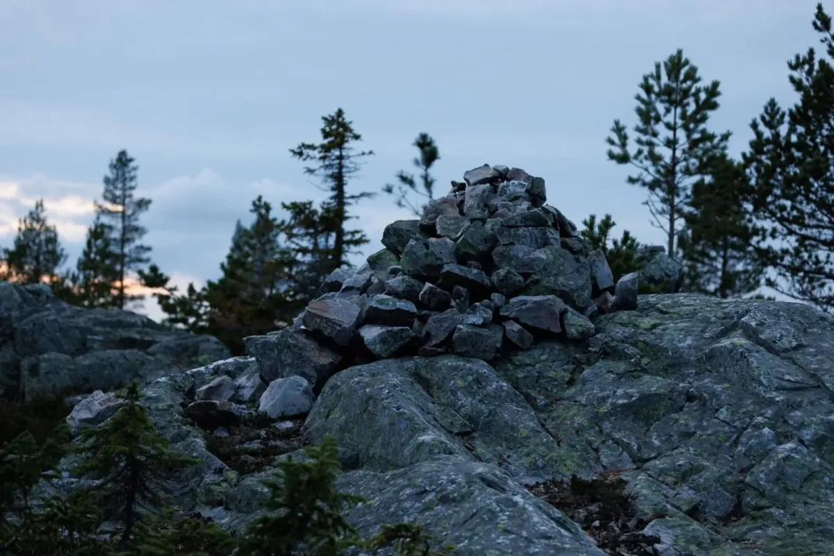
Photos (49)
1 / 49
Videos (3)
Årnotra - turen opp
13. mai 2018
5. september 2018
User photos (8)
1 / 8
Practical info
- Direction
- tur-retur
- Season
- Summer
- Trail quality
- 3/5
- Solitude
- 4/5
Got any good trail tips? 1
Seljord
Telemark
fintur.no
Telemark
fintur.no

Dette er ein fin tur