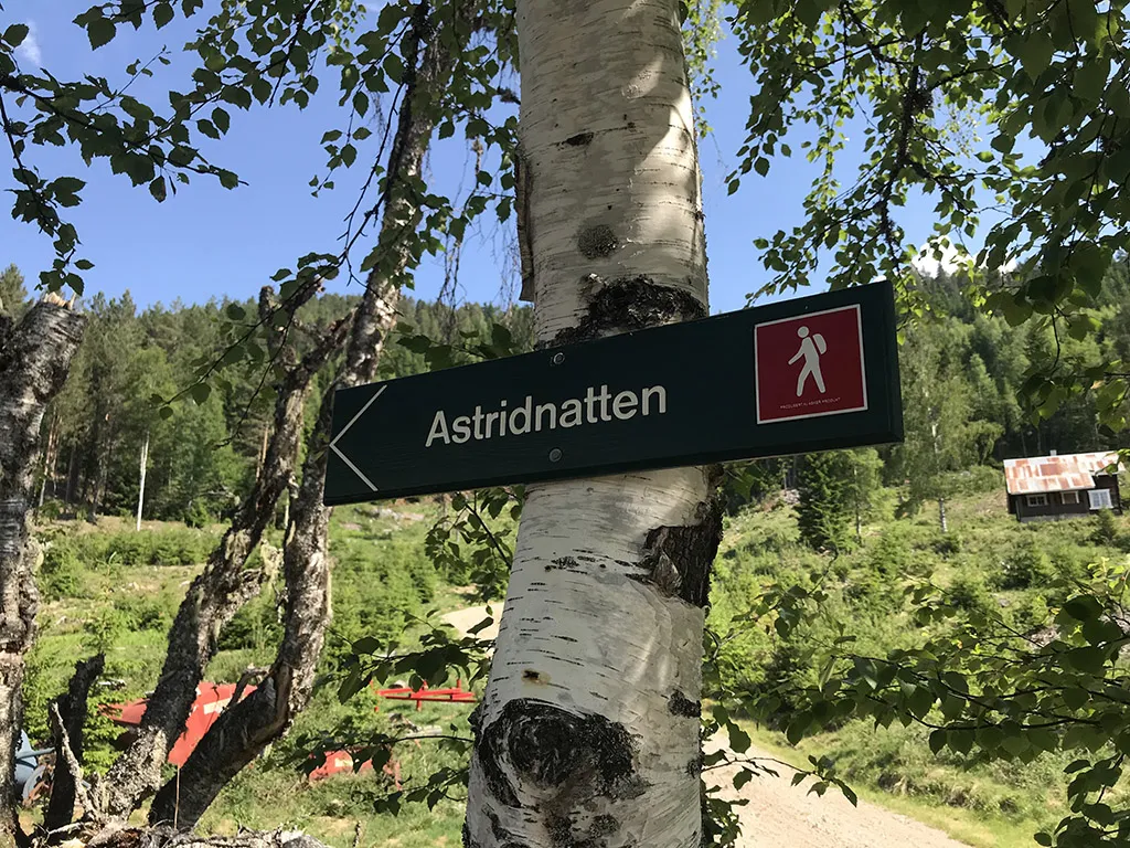
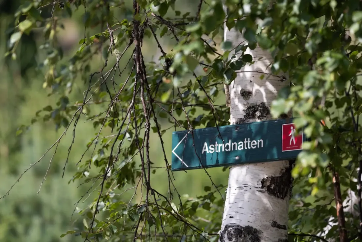
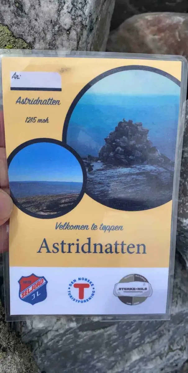
Astridnatten
 T
T
Fee
The road or car park has a fee. Bring small change. Some take cards and Vipps.
Weather forecast
Hentar vêrdata…
Kjelde: Yr.no (Meteorologisk institutt)
Map and route
S Start
M Finish
▲ Highest point
▼ Lowest point
km Main route
km Alternativ rute
↕ m Elevation
About this hike
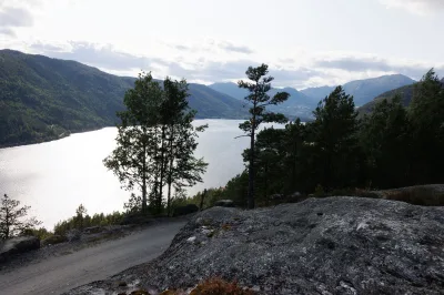
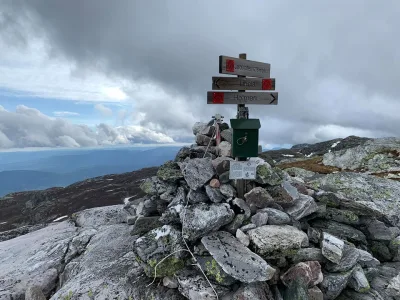
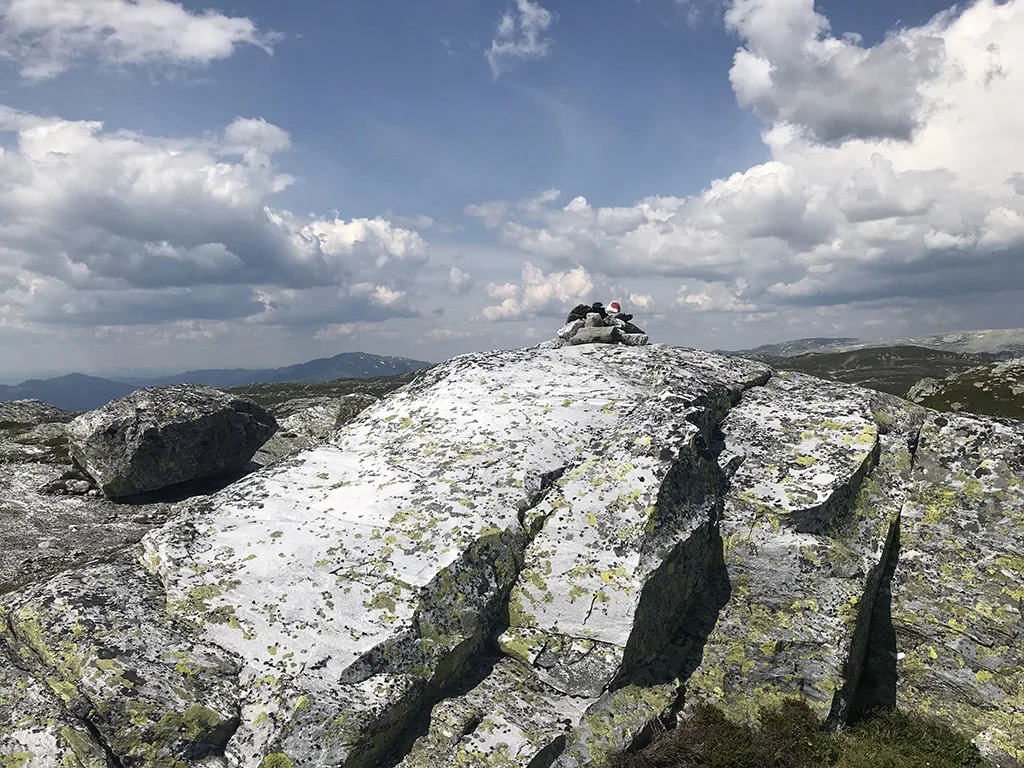
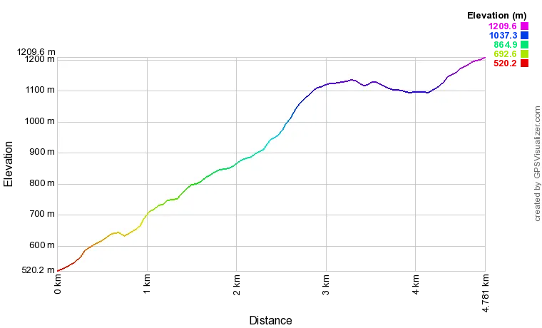
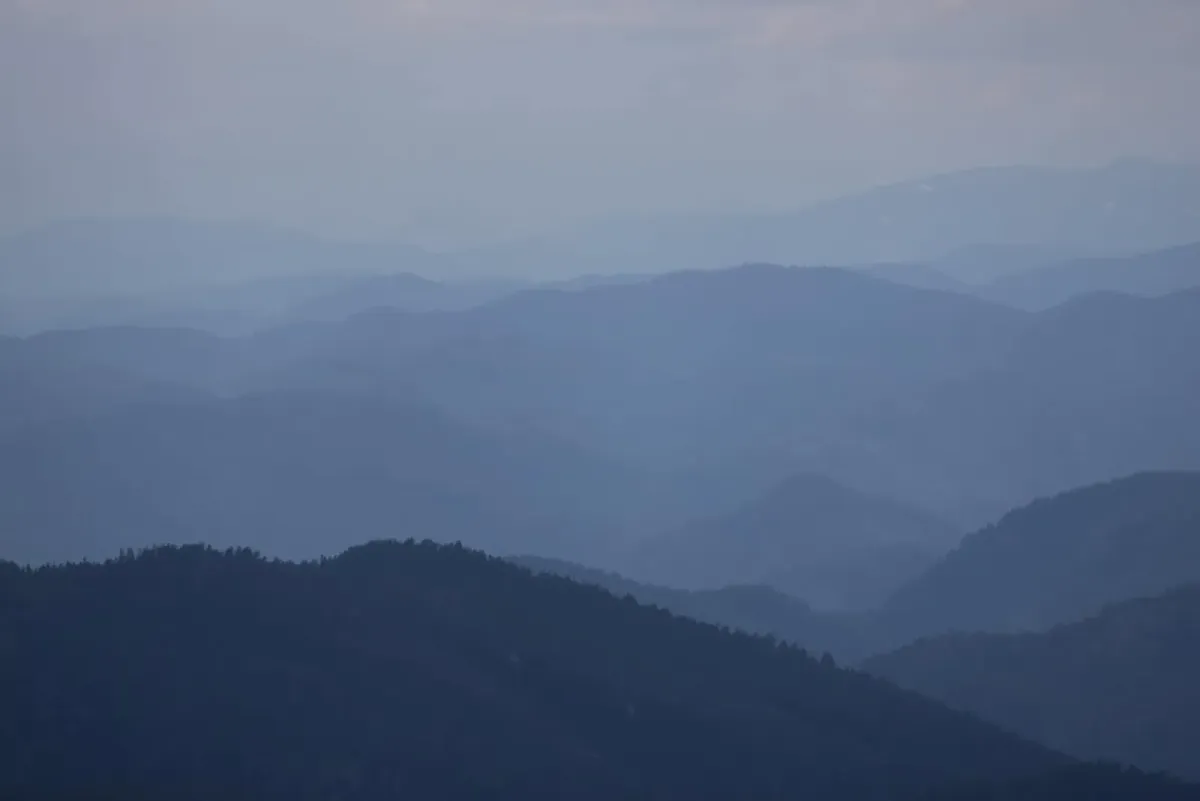
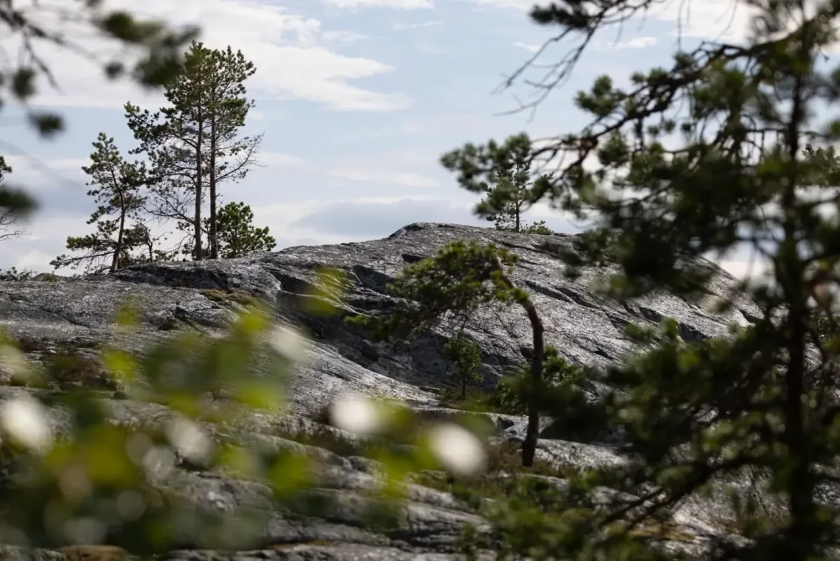
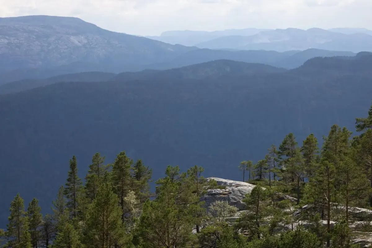
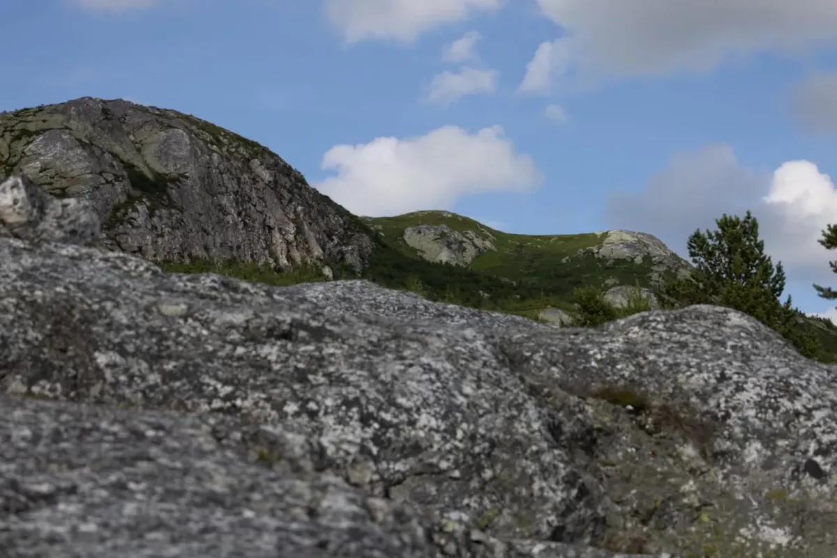
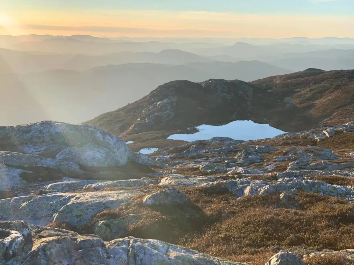
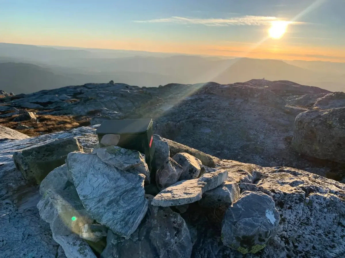
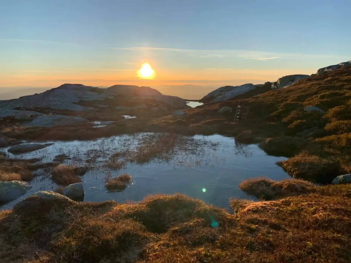
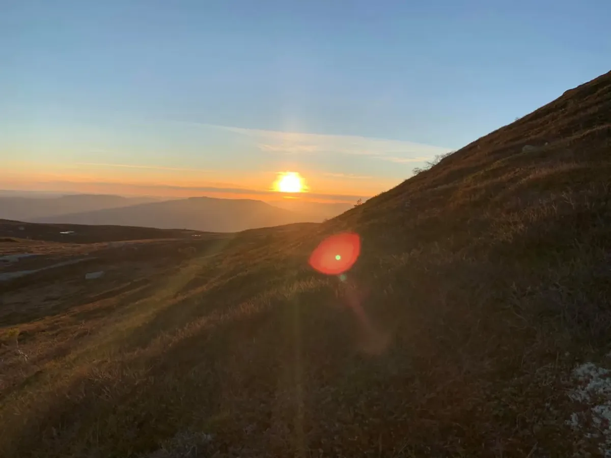
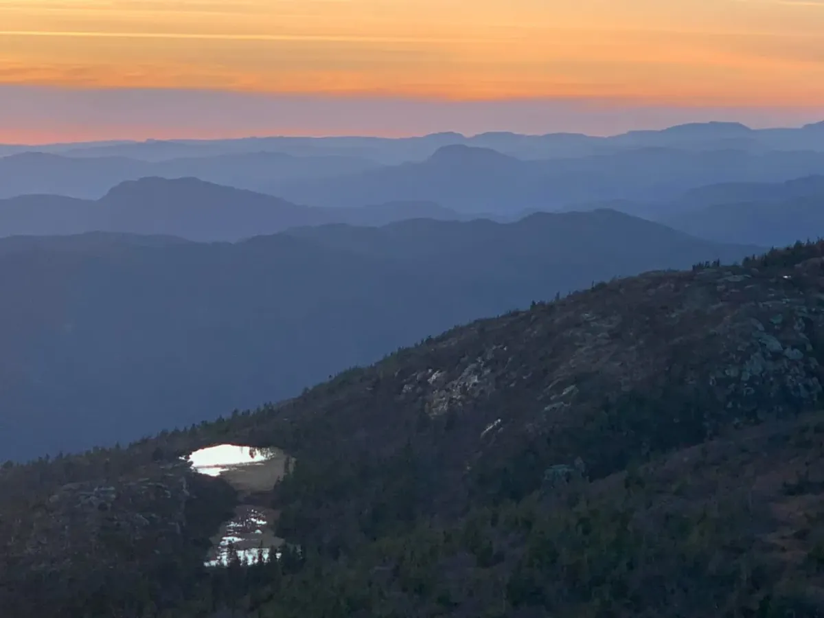
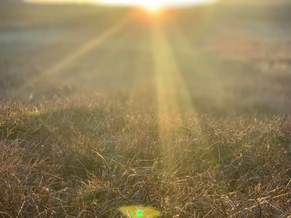
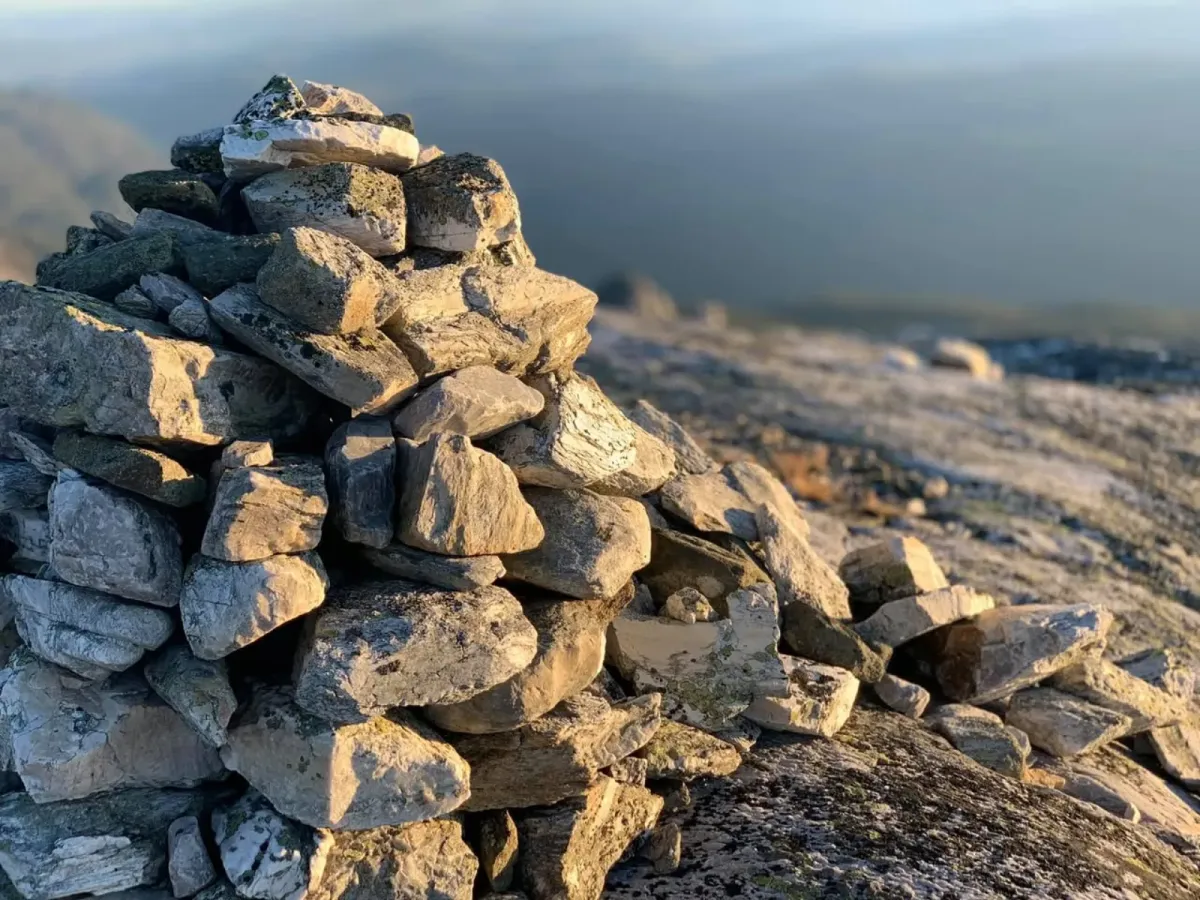
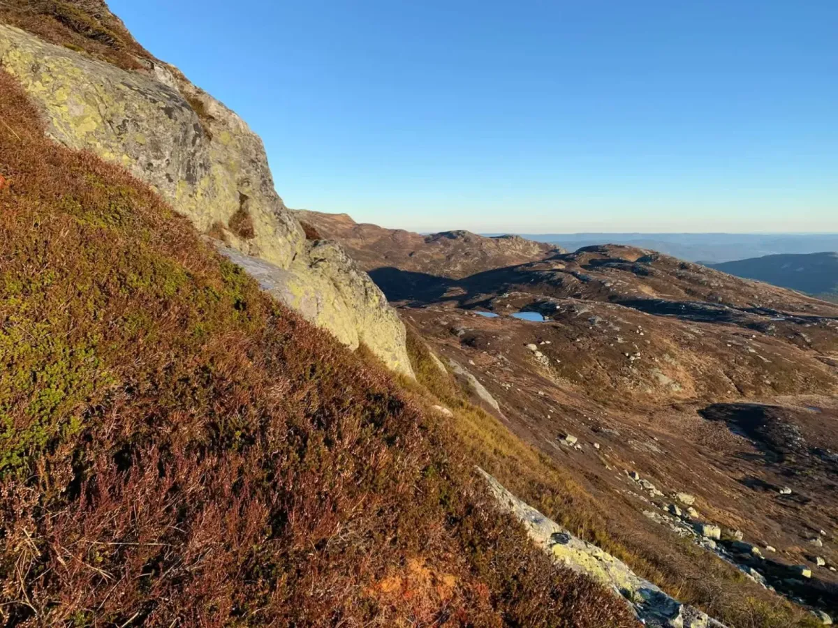
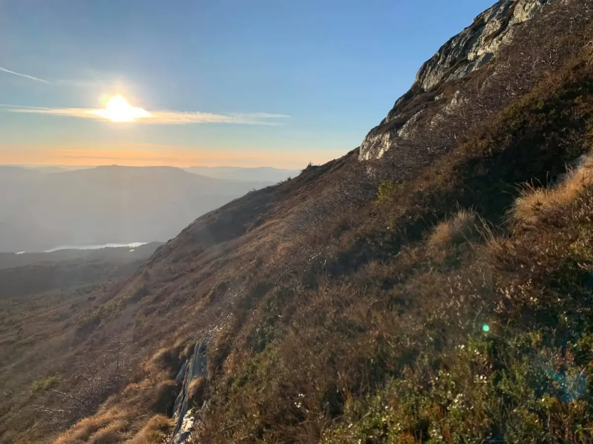
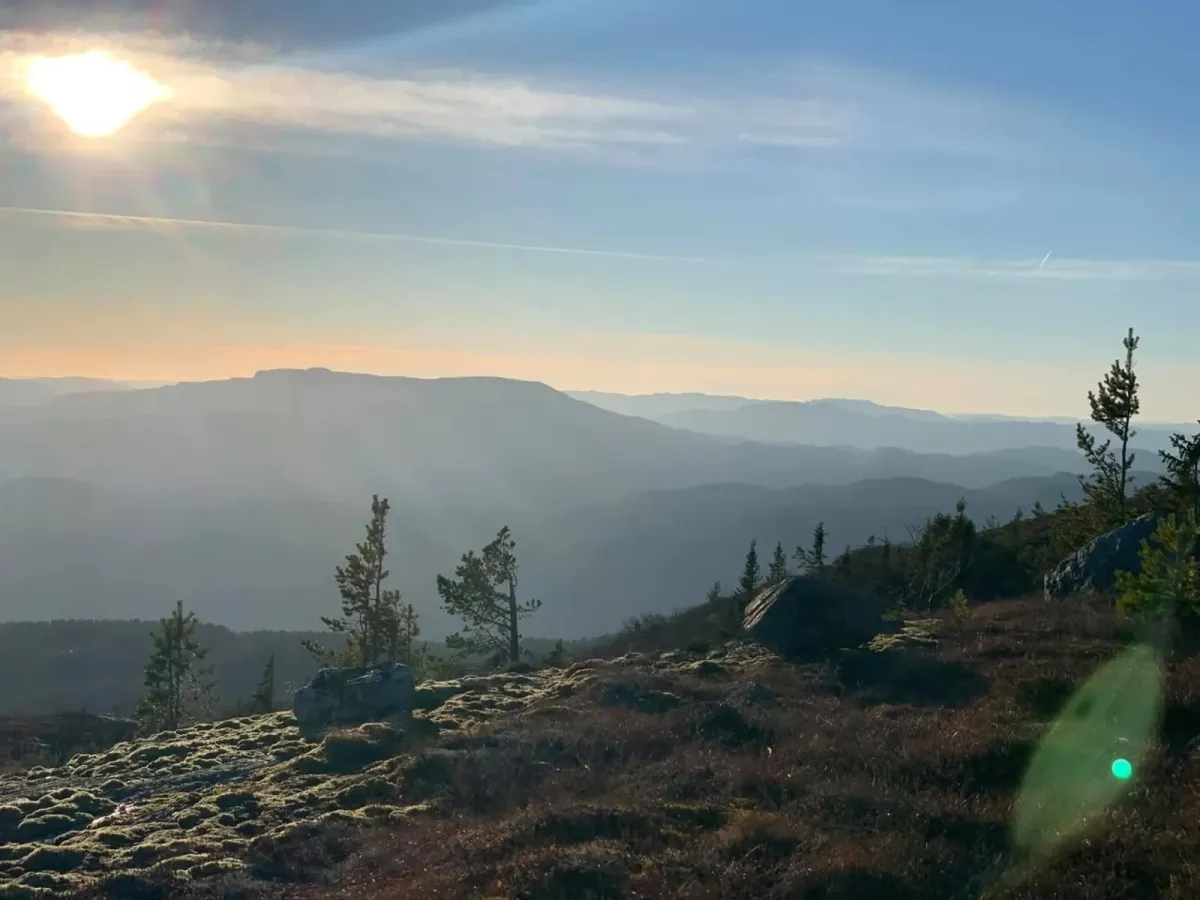
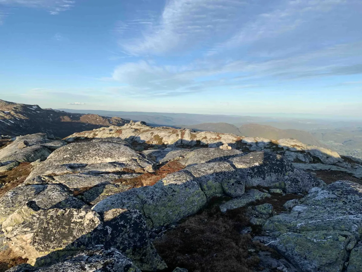
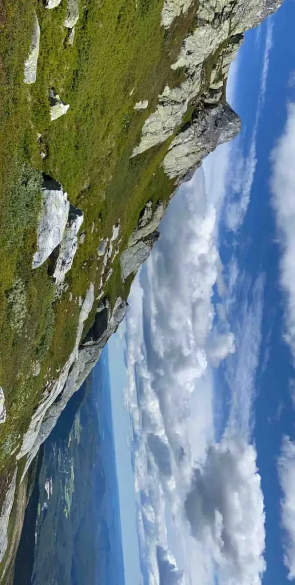
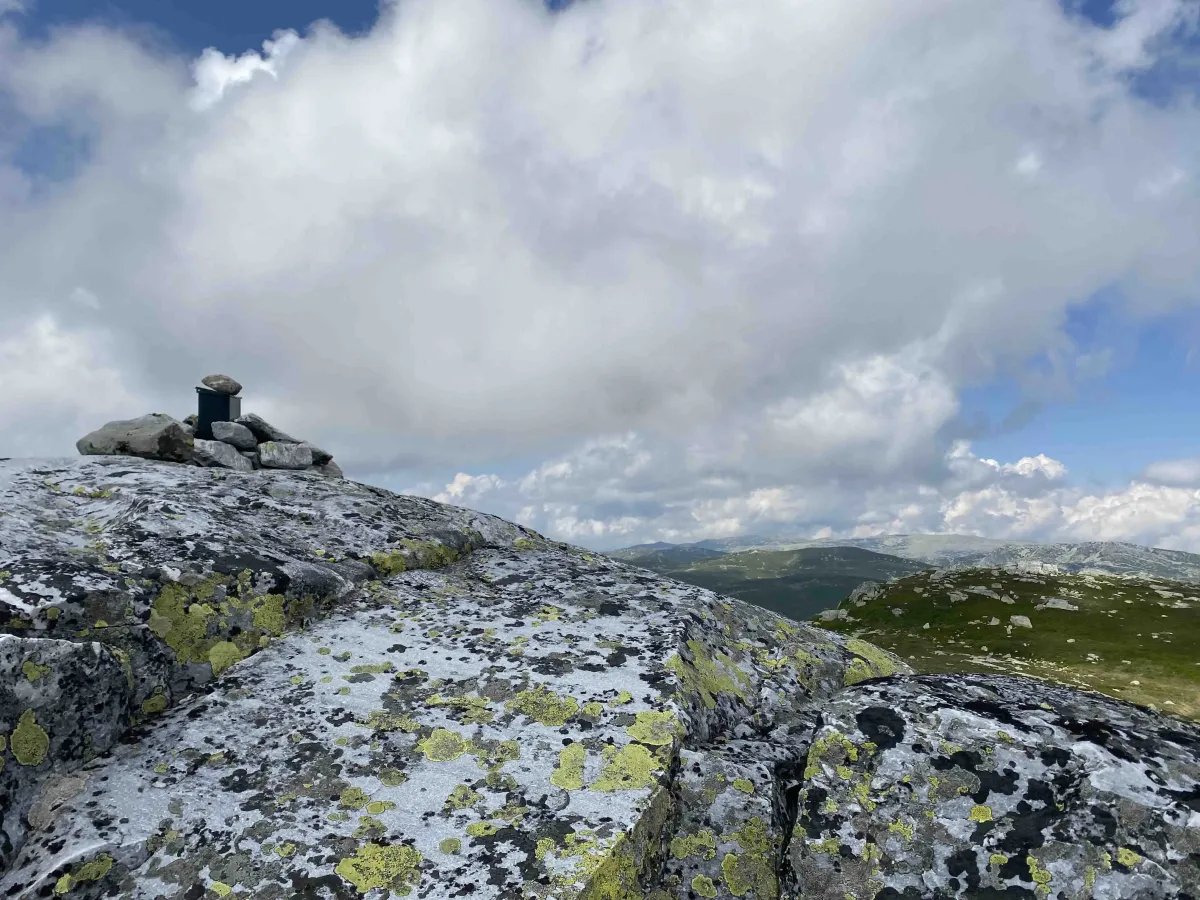
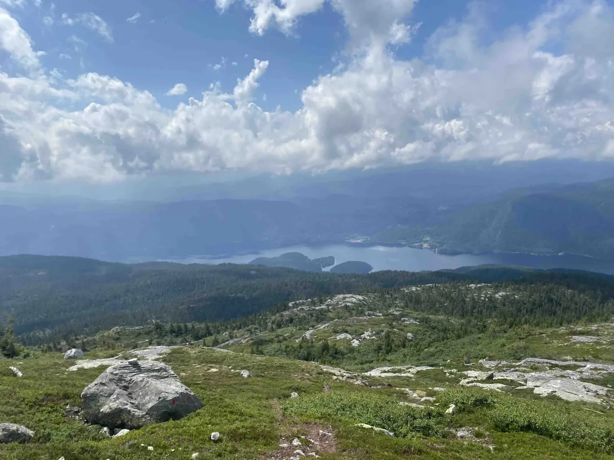
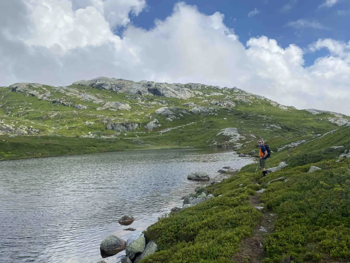
The hike to Astridnatten goes through beautiful mountain terrain and offers 4.75 kilometers of ascent - and just as far down again. It's a demanding hike with plenty of elevation gain, but the view from the top makes the effort well worth it. Astridnatten, which stands 1172 meters above sea level, is one of the highest peaks on Lifjell and offers a panoramic view of large parts of Telemark and nearby mountain areas.
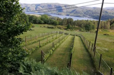
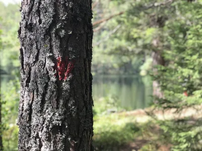
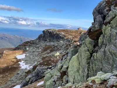
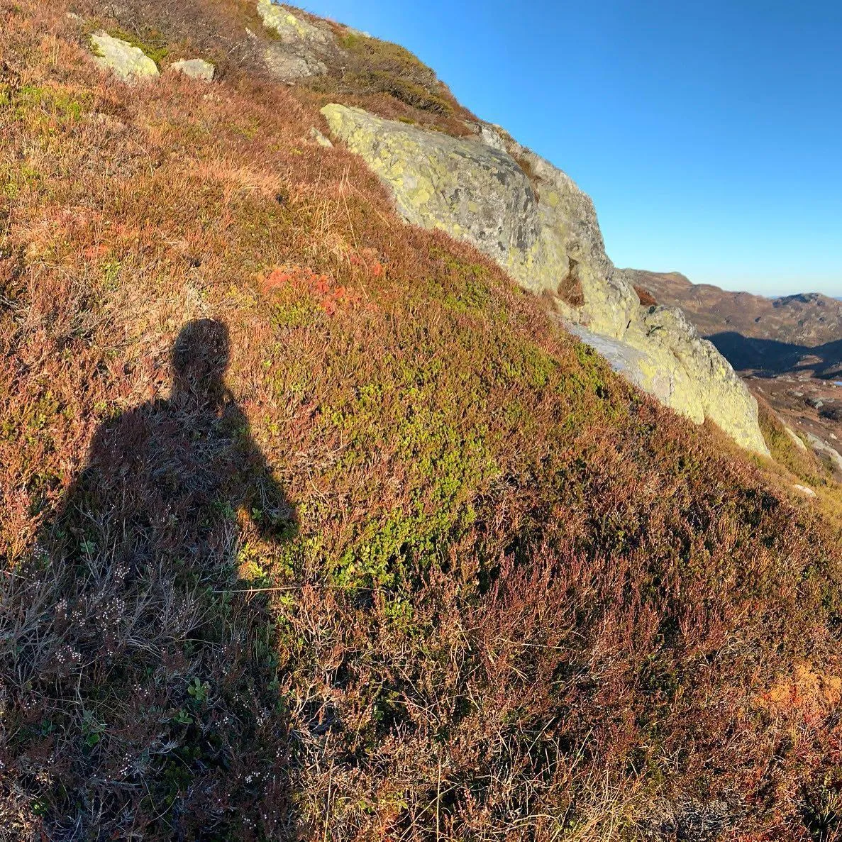
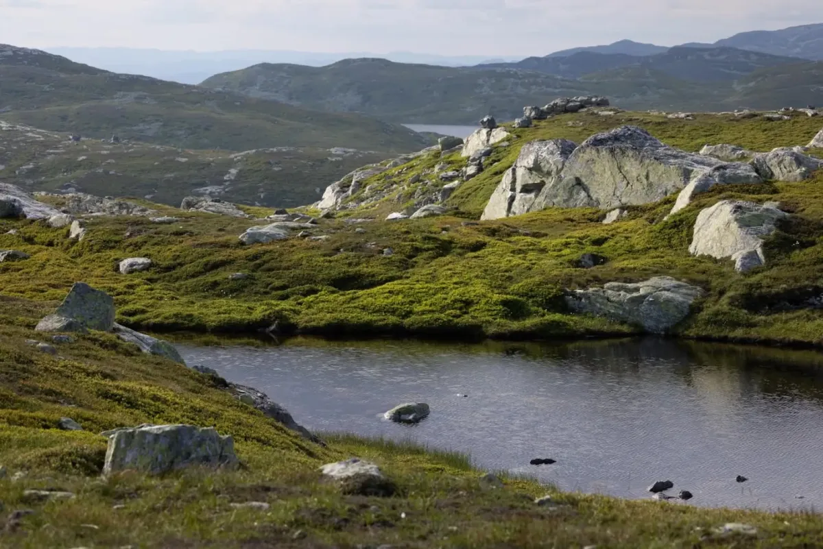
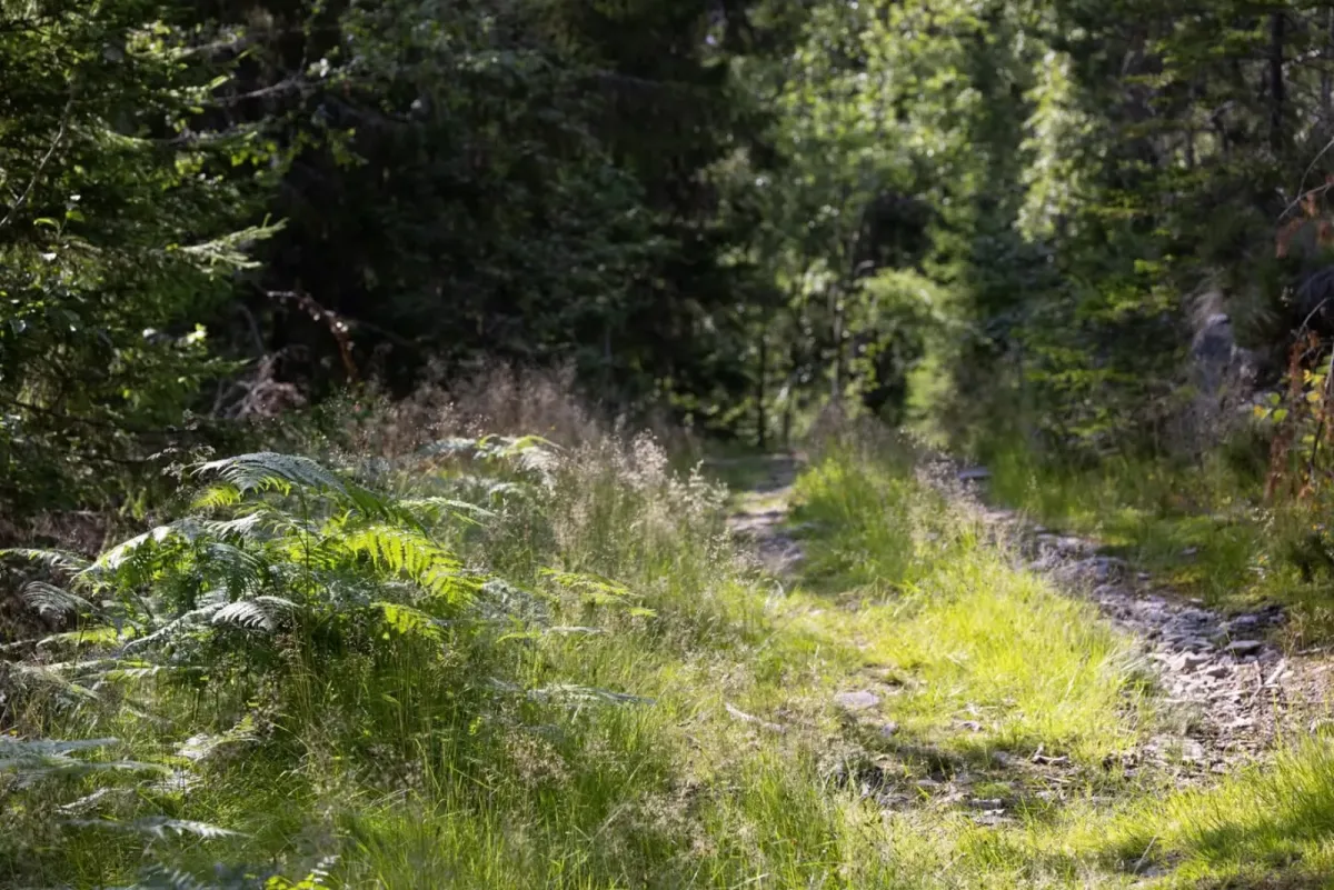
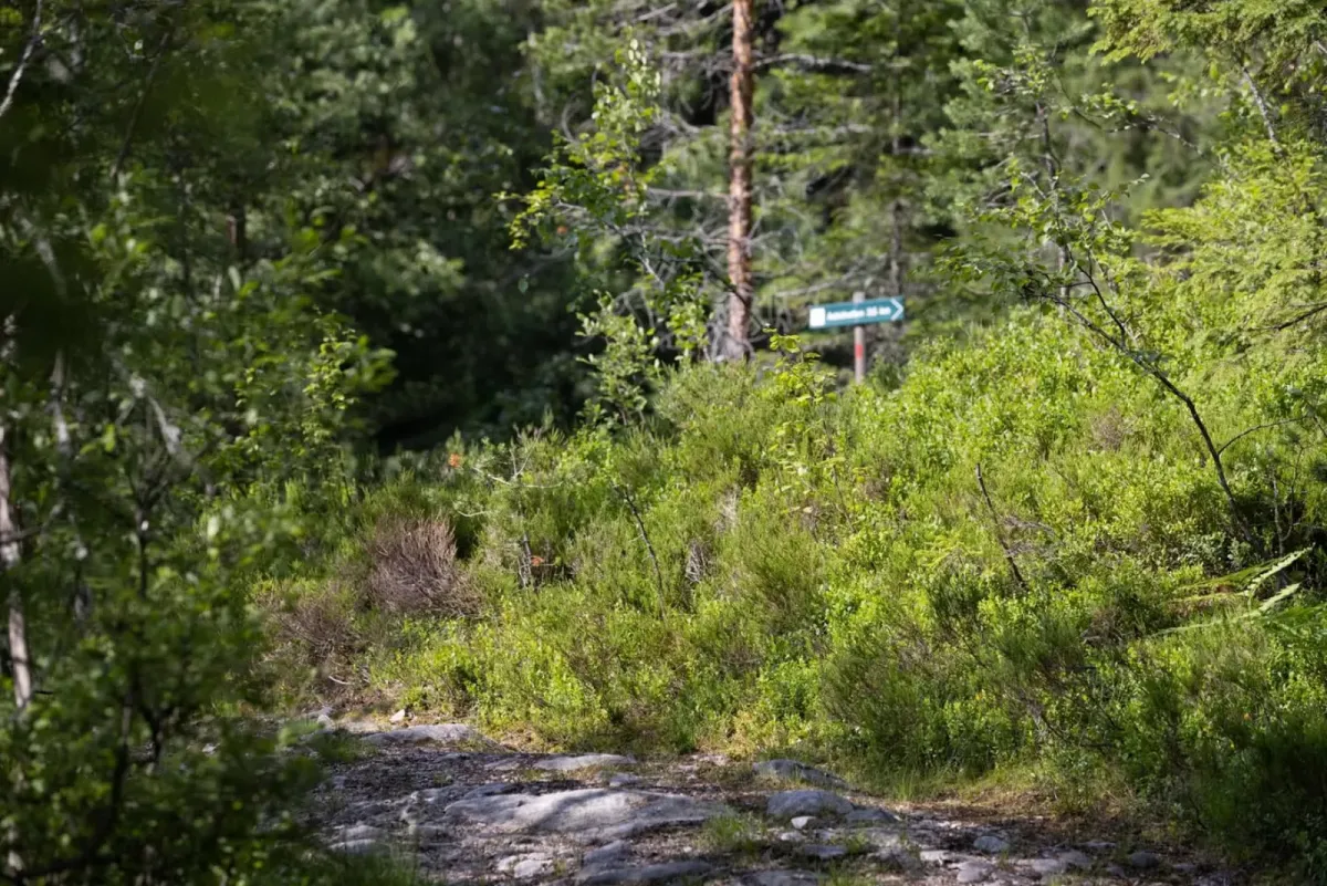
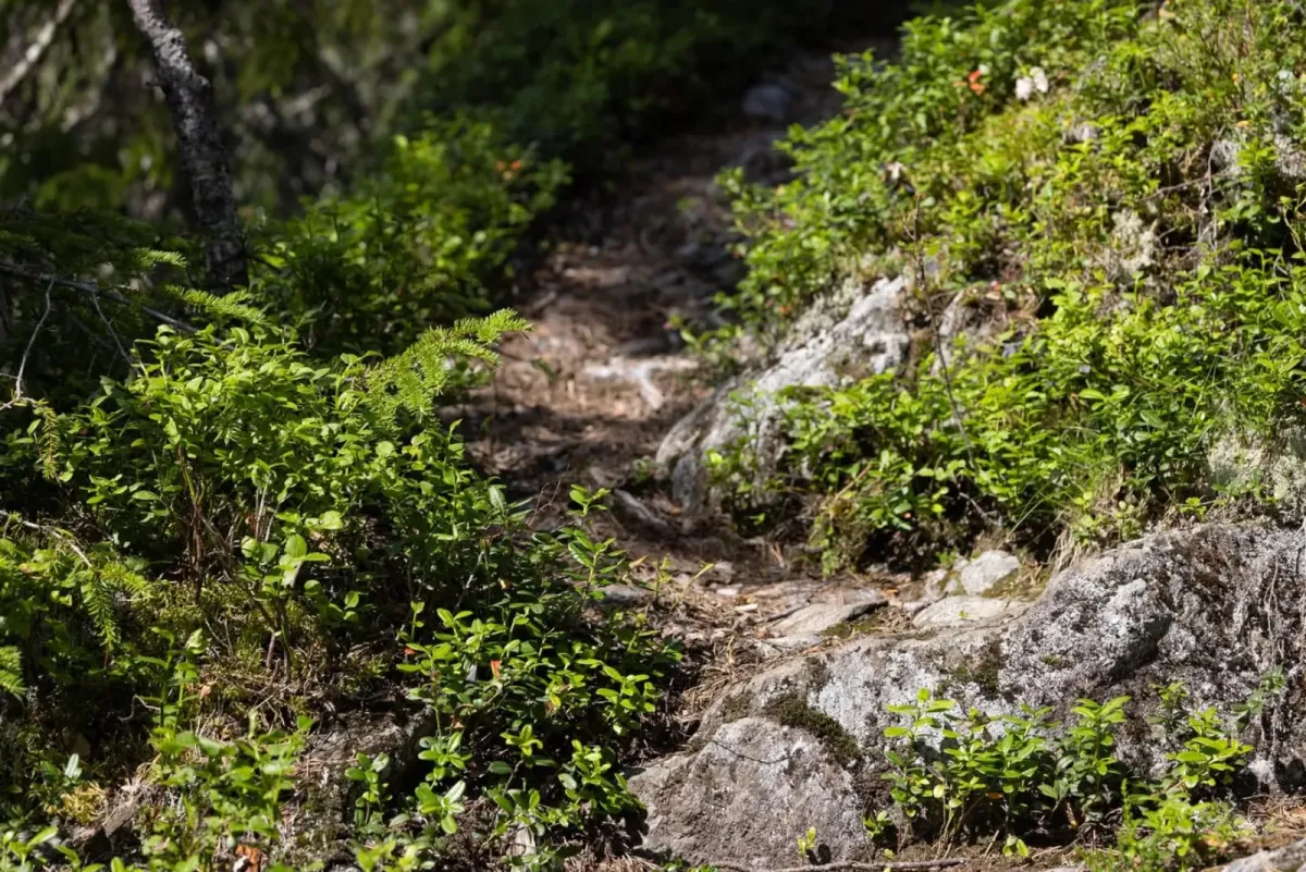
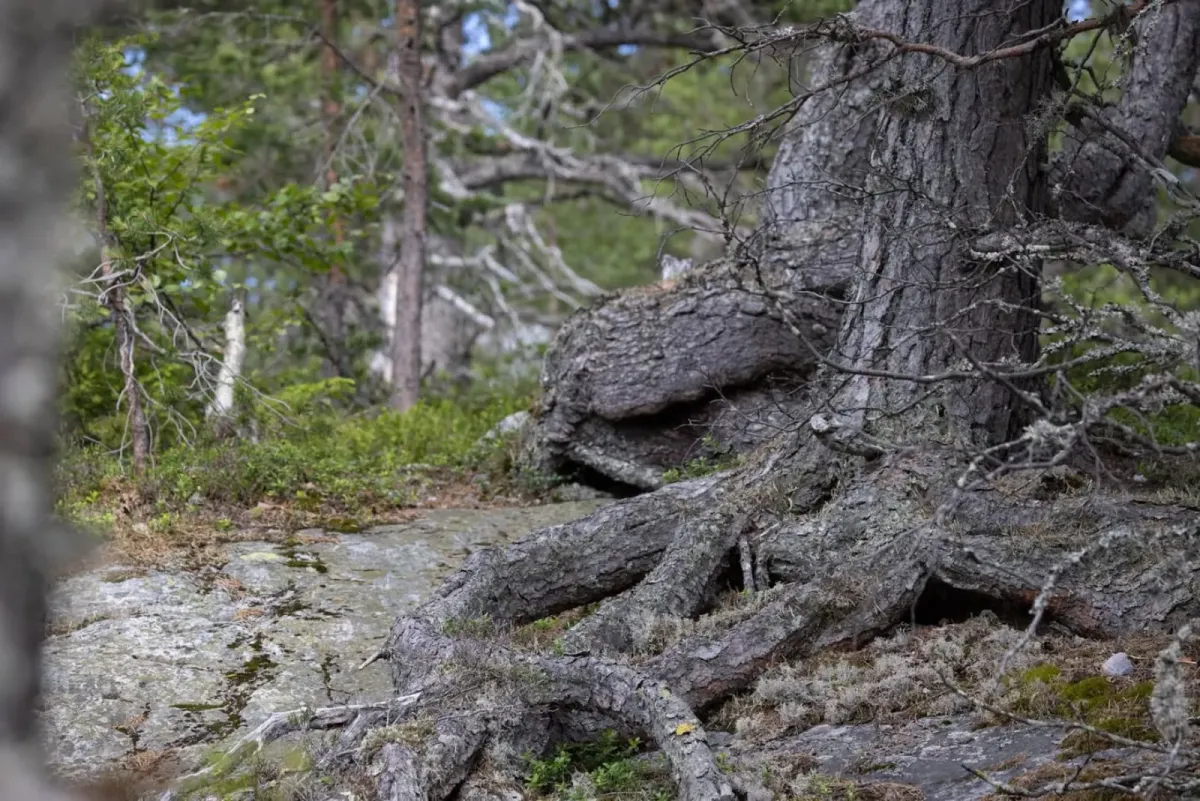
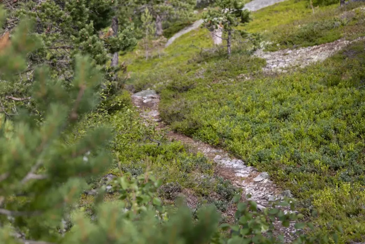
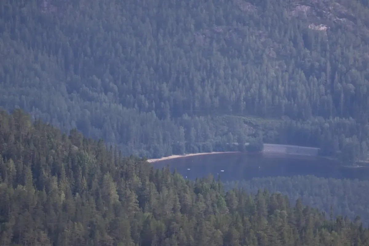
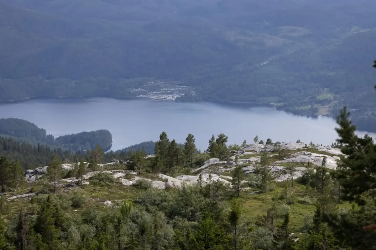
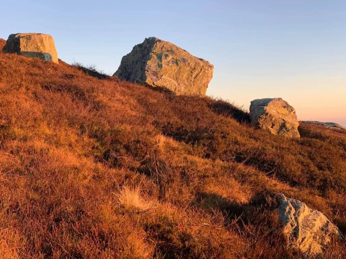
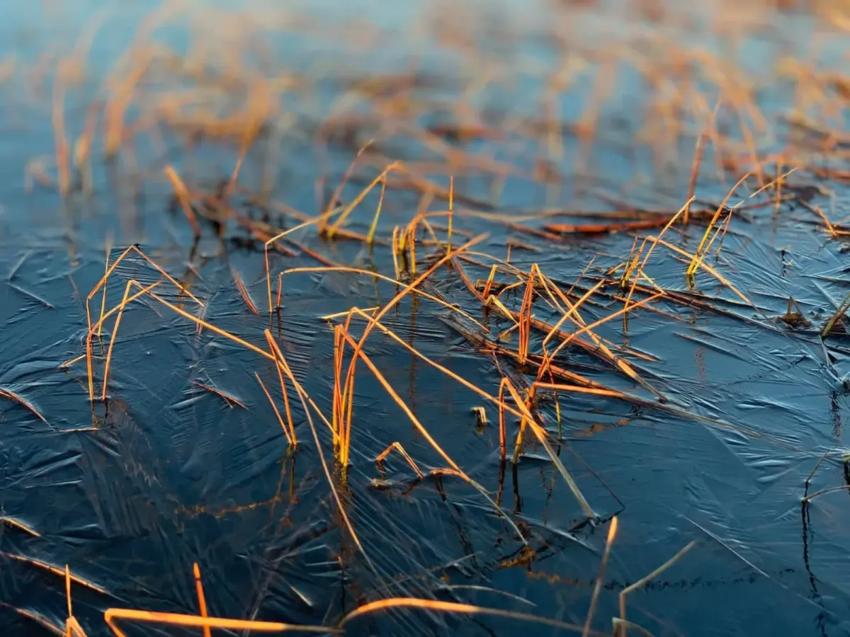
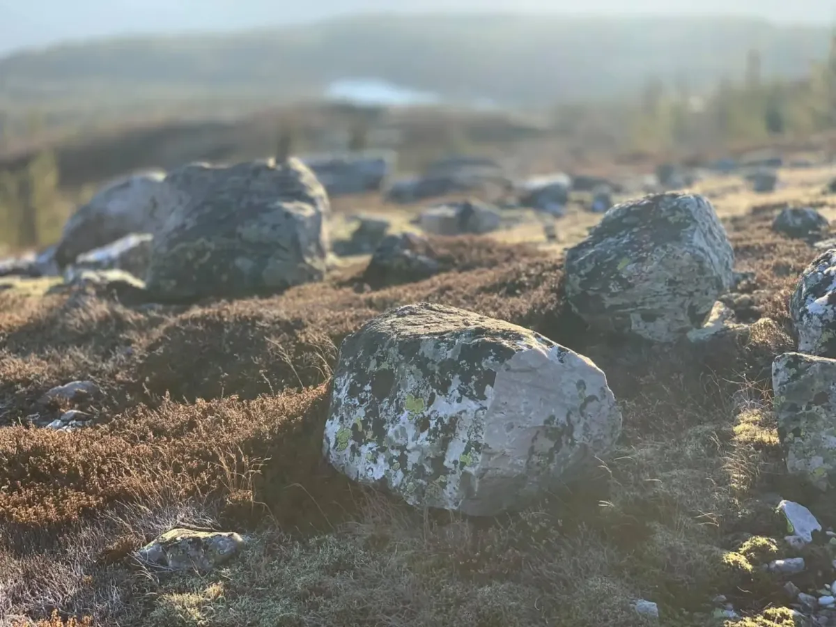
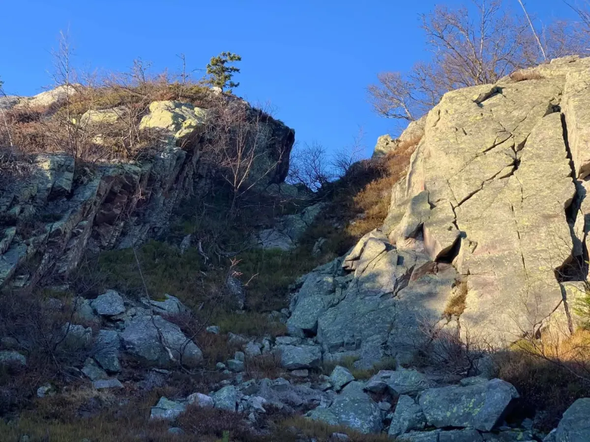
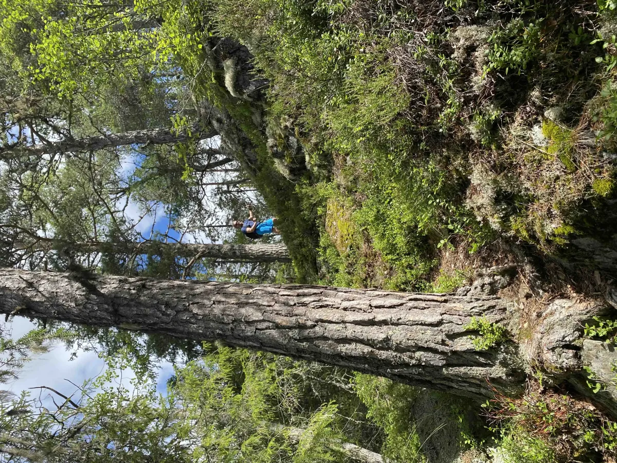
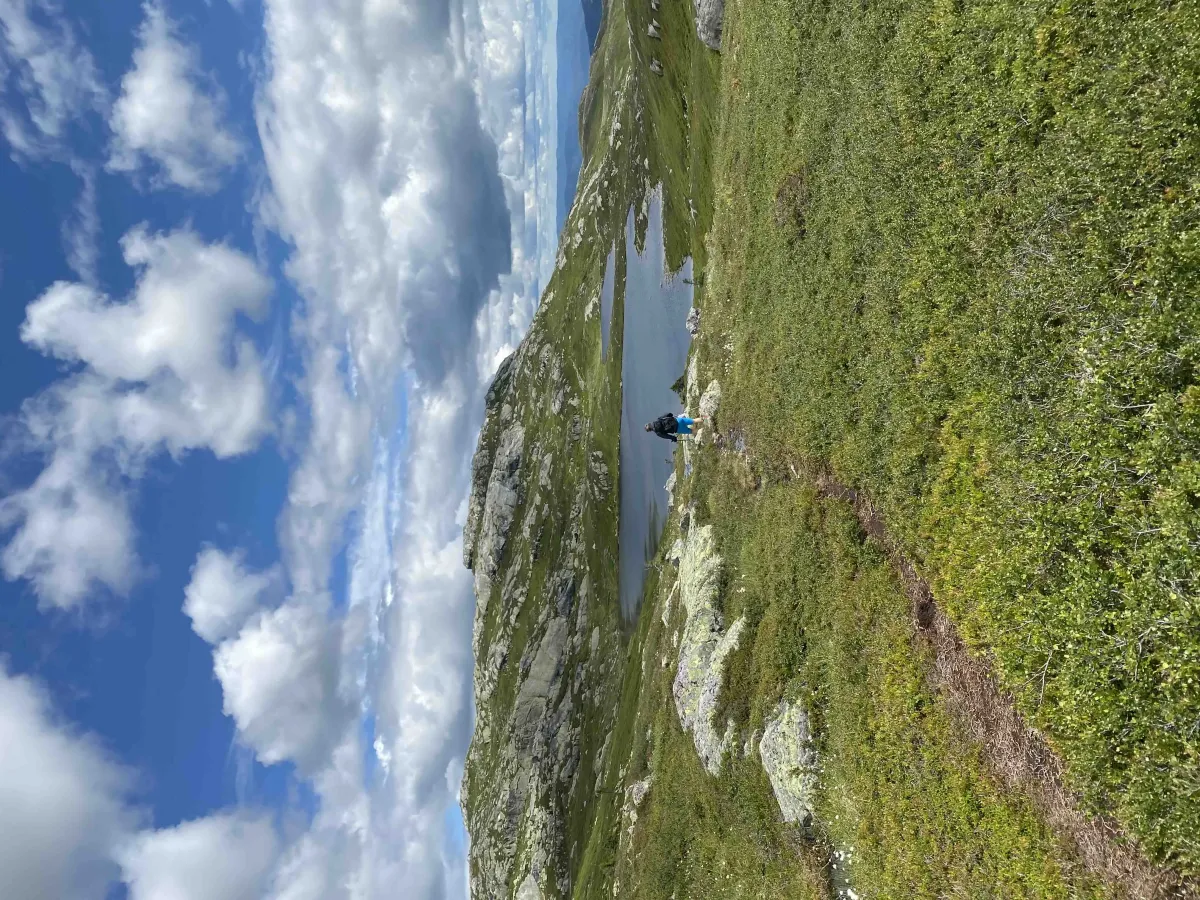
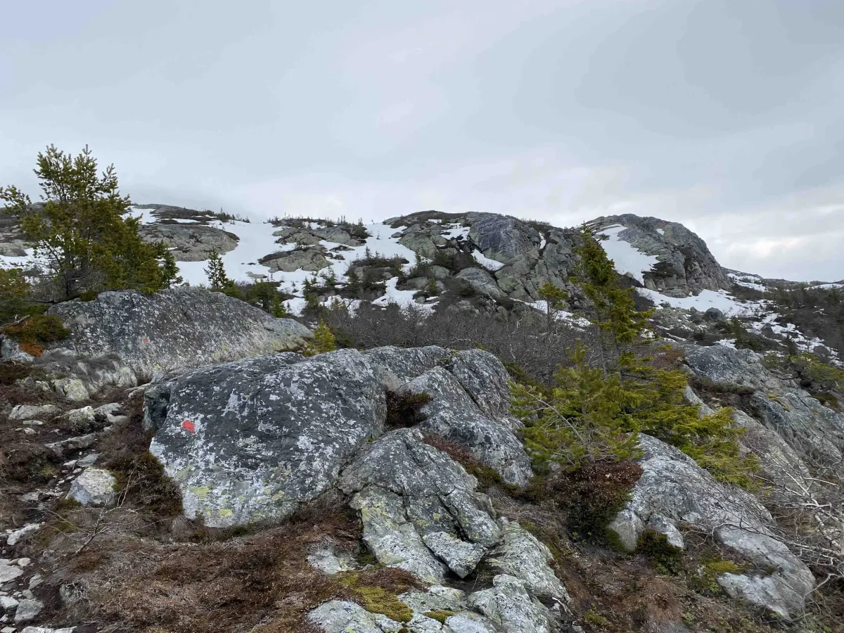
You start the hike from Veslestaul, which you reach by following Manheimgrendi up from Bø. There is a toll road on the last stretch, so be sure to bring a means of payment (vipps/cash) if there is no electronic payment. The parking lot is located at about 800 meters above sea level, and the hike continues on a well-marked trail in an open mountain landscape. Along the way, you'll pass heather moors, rocky outcrops and small ponds - a landscape typical of the high mountain area of Lifjell.
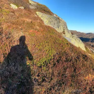
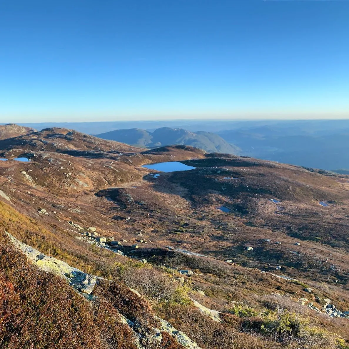
The tour is suitable for experienced hikers in good shape. Wear good shoes and be prepared for changing weather. On fine days you can see all the way to Gaustatoppen and Hardangervidda from the top.
You start the hike from Veslestaul, which you reach by following Manheimgrendi up from Bø. There is a toll road on the last stretch, so be sure to bring a means of payment (vipps/cash) if there is no electronic payment. The parking lot is located at about 800 meters above sea level, and the hike continues on a well-marked trail in an open mountain landscape. Along the way, you'll pass heather moors, rocky outcrops and small ponds - a landscape typical of the high mountain area of Lifjell.
The tour is suitable for experienced hikers in good shape. Wear good shoes and be prepared for changing weather. On fine days you can see all the way to Gaustatoppen and Hardangervidda from the top.
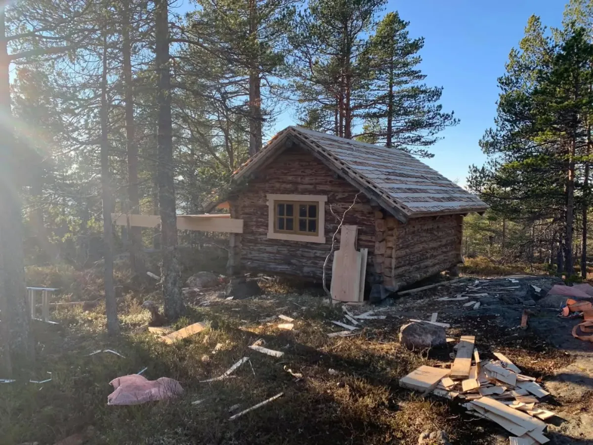
Photos (34)
1 / 34
Videos (2)
Astridnatten - turen opp
Astridnatten - toppen
User photos (9)
1 / 9
Practical info
- Direction
- tur-retur
- Season
- Summer
- Trail quality
- 2/5
- Solitude
- 5/5
Got any good trail tips?
Seljord
Telemark
fintur.no
Telemark
fintur.no