Bosnuten

Weather forecast
Hentar vêrdata…
Kjelde: Yr.no (Meteorologisk institutt)
Map and route
S Start
M Finish
▲ Highest point
▼ Lowest point
km Main route
km Alternativ rute
↕ m Elevation
About this hike
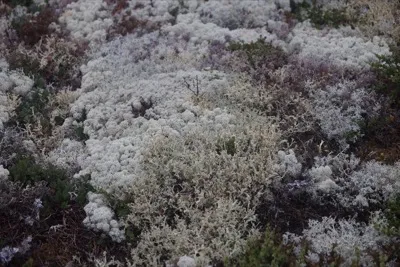
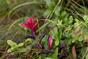
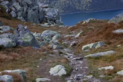
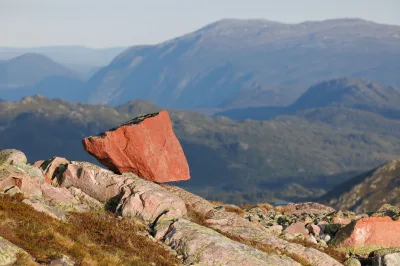
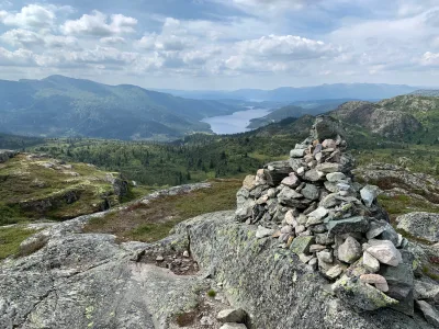
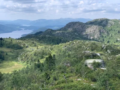
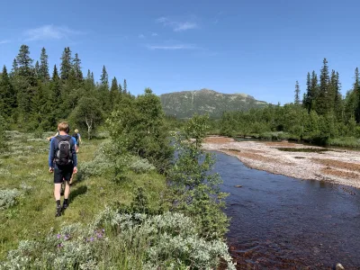
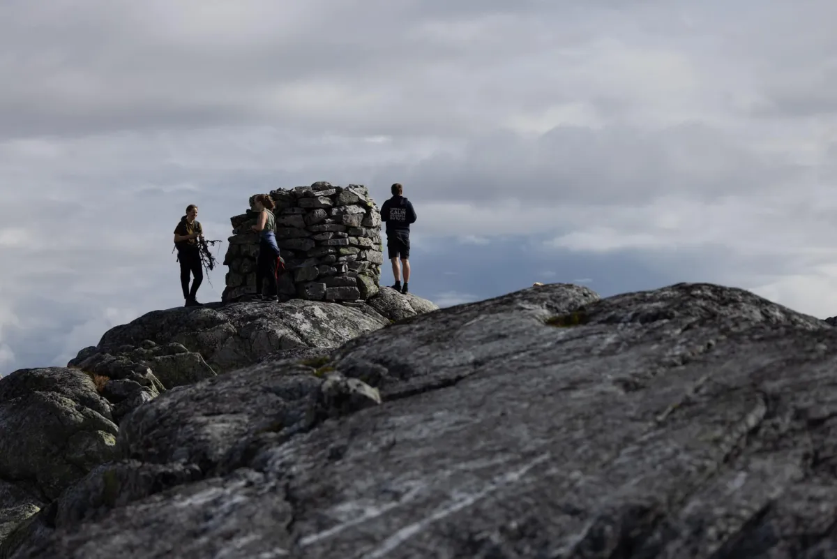
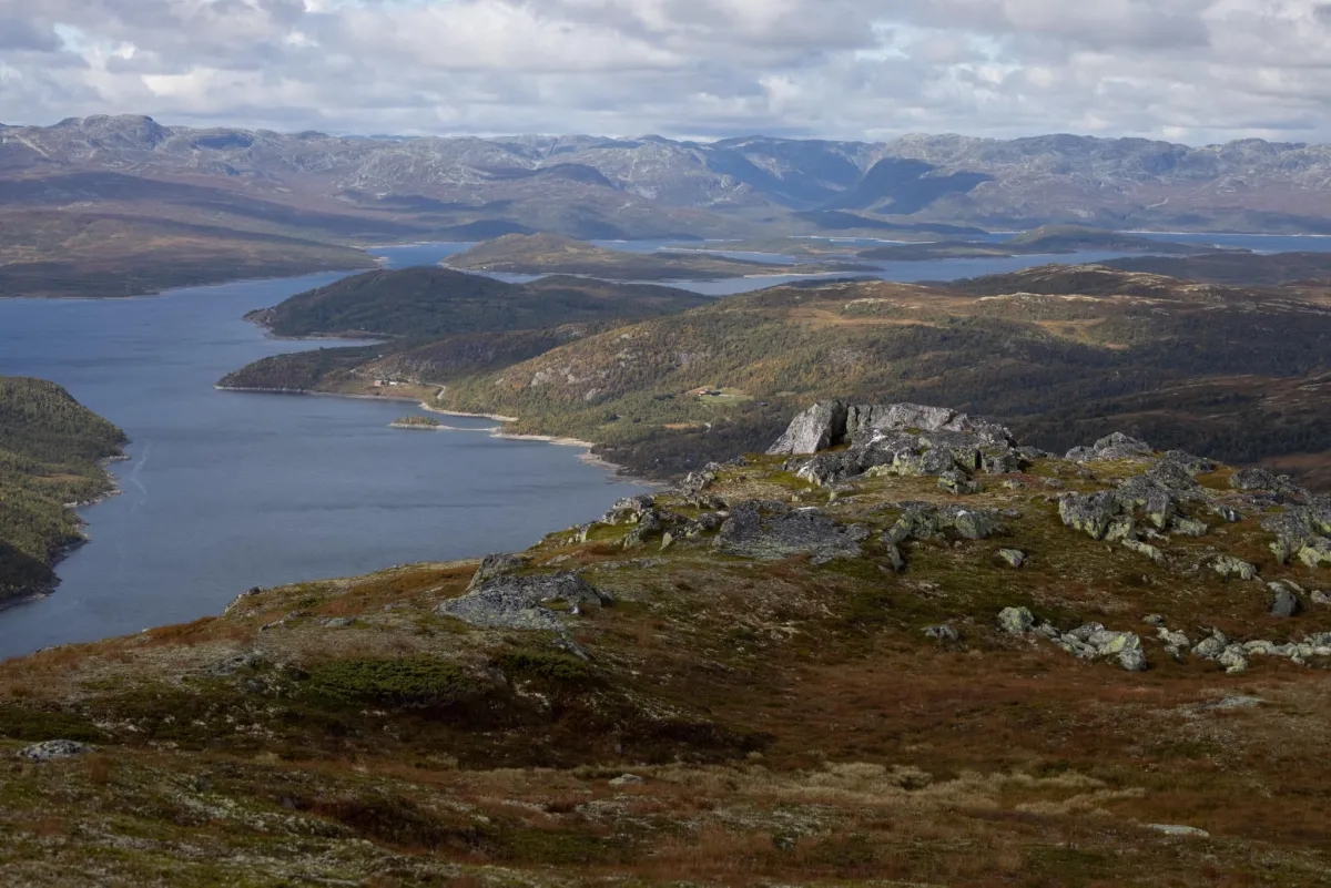
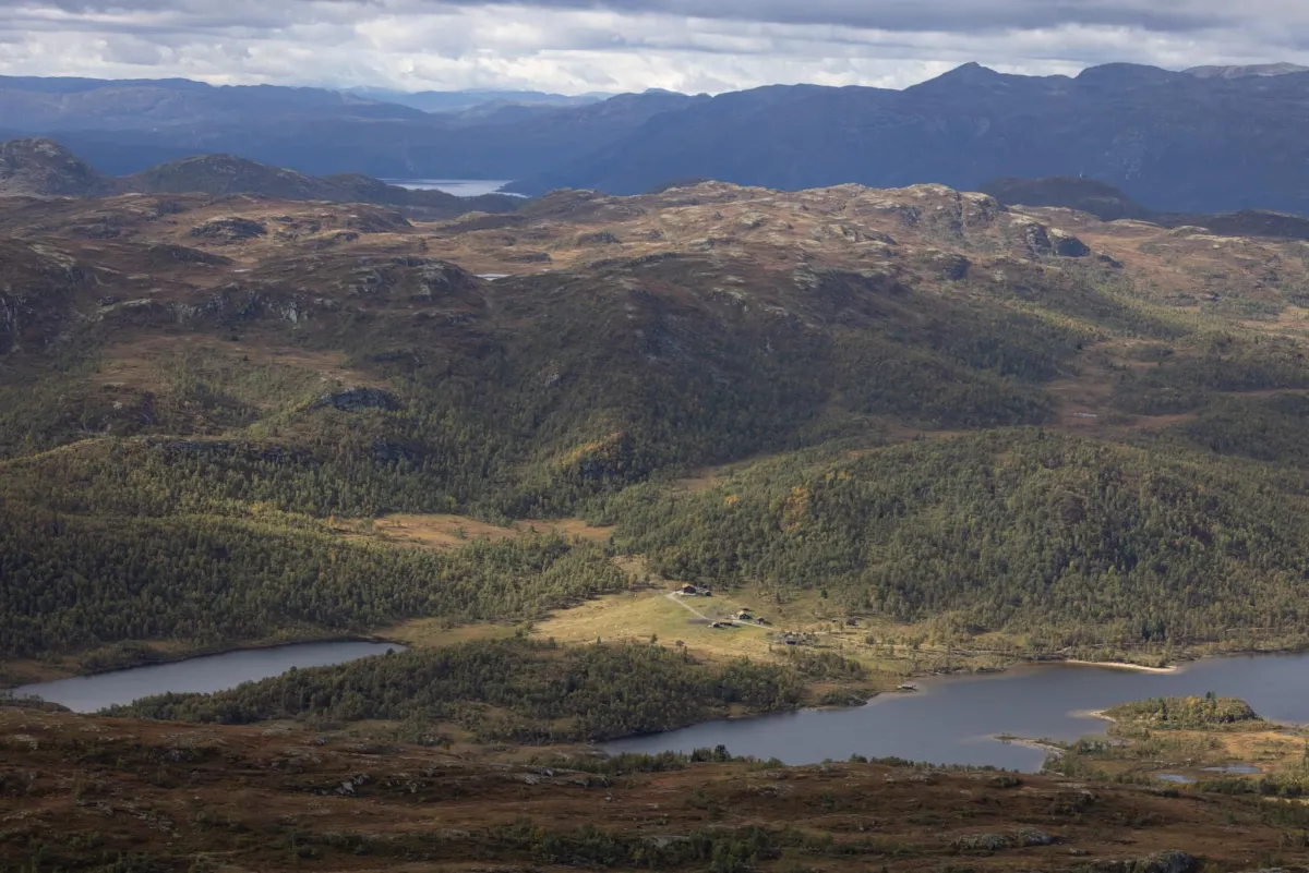
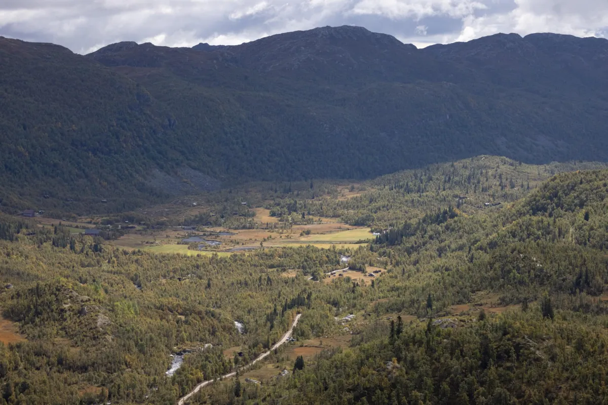
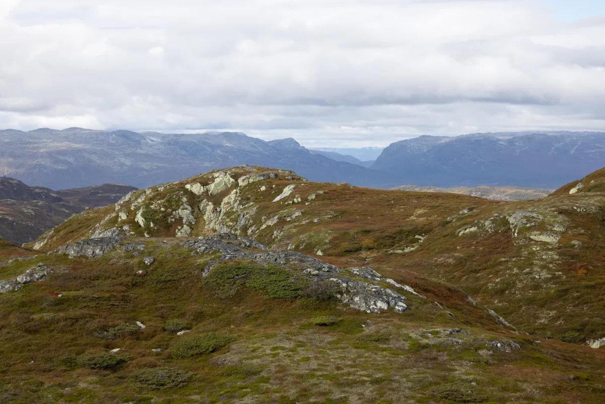
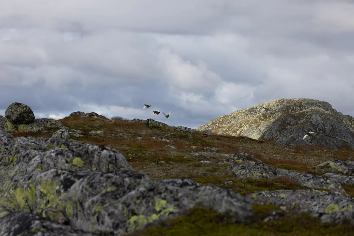
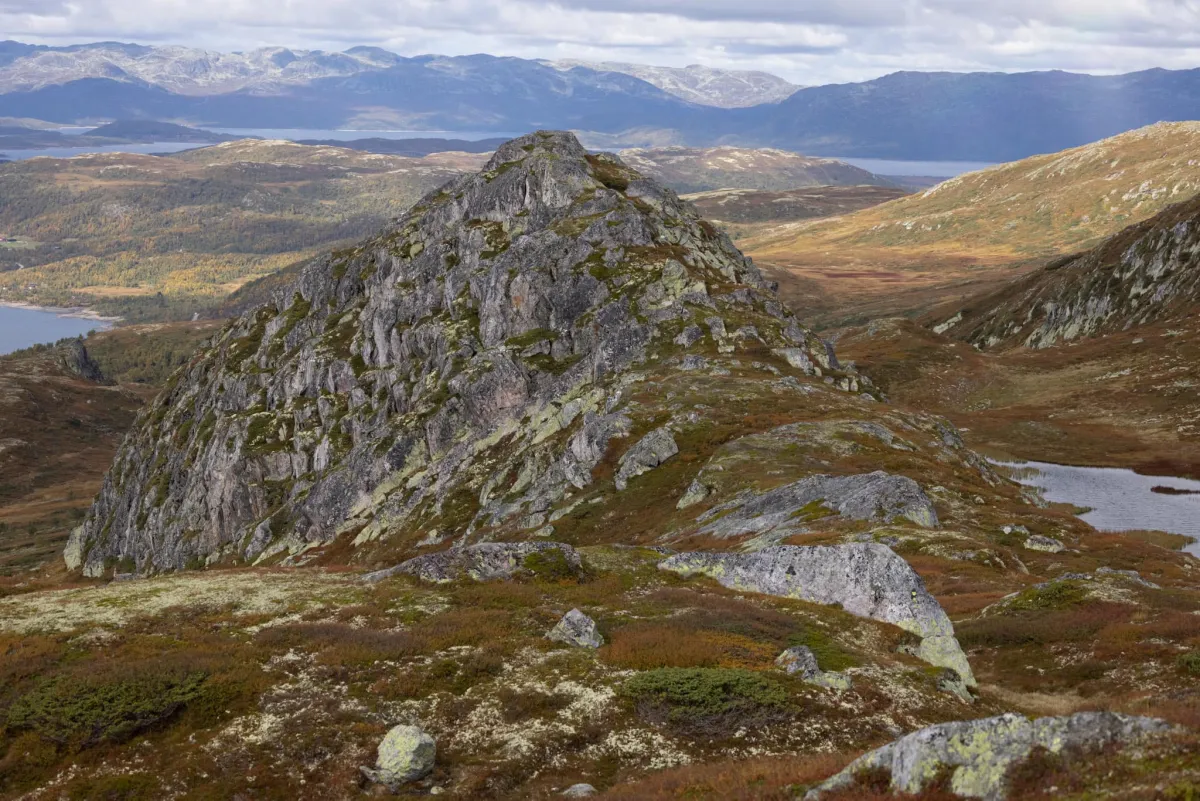
On a long hike up Lifjell. Not Lifjell towards Bø. But Lifjell towards Bosnuten. It's a fantastic hike, in and out of Seljord and Vinje. Views of Møssvatn and Rauland on one side and Sandsetvatnet and Brattefjell/Vindeggen with all its peaks on the other. And in the distance is Gaustatoppen. It was 18-20 degrees Celsius and a little windy. The trip starts from Sudbø. Right down by the parking lot. Then, head up the road to the bridge down in the riverbed. Lifjellvegen (trail) starts there. There are many peaks to climb. Skarbufjell, Flognutan and Lifjell (1314 m). From there you go to Fentnuten and beyond to Valatjønnut before ending up at Bosnuten (1431 m). This is a long hike of almost 23 km (including 6 km on the way to Sandsetvatnet). A total of 1003 altitude meters to climb. Insanely beautiful nature in this area. Fun to go to Raudland, ouch. Looked down on Kråkeroe.
Photos (7)
1 / 7
Practical info
- Direction
- tur-retur
- Season
- Summer
- Trail quality
- 3/5
- Solitude
- 7/5
Got any good trail tips?
Vinje
Telemark
fintur.no
Telemark
fintur.no