Brakandalsfjellet
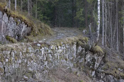
Boom wall
The road has a barrier and you need to get the key to the barrier from the road team.
Weather forecast
Hentar vêrdata…
Kjelde: Yr.no (Meteorologisk institutt)
Map and route
S Start
M Finish
▲ Highest point
▼ Lowest point
km Main route
↕ m Elevation
About this hike
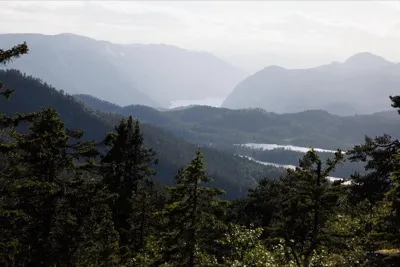
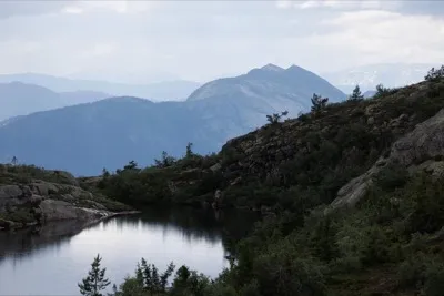
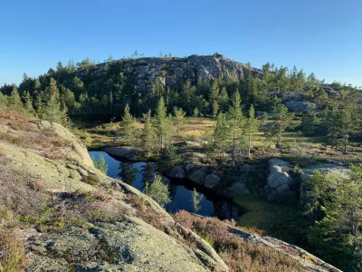
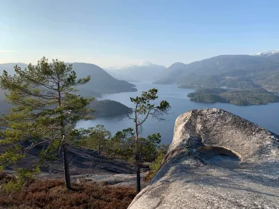
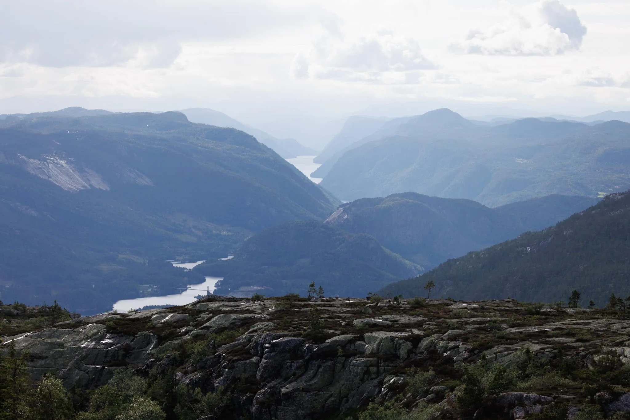
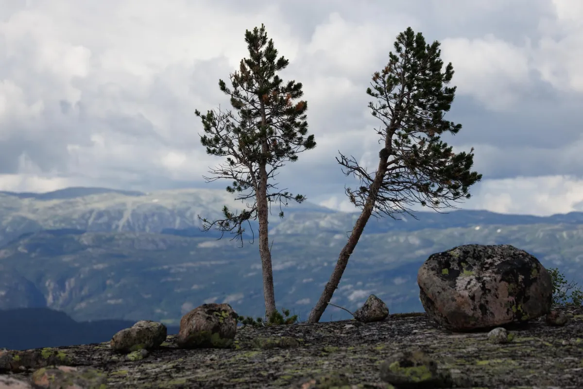
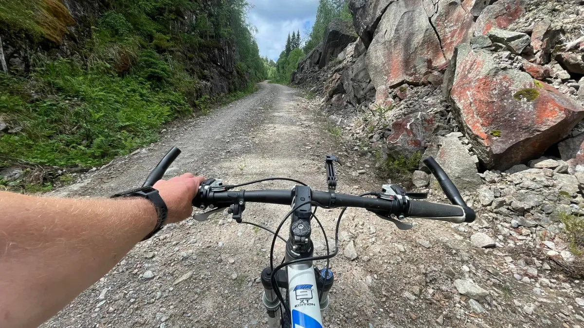
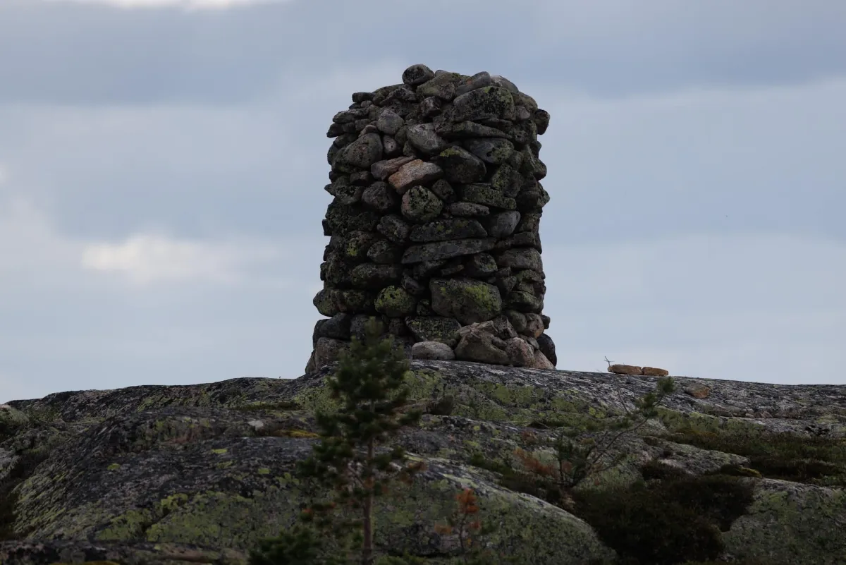
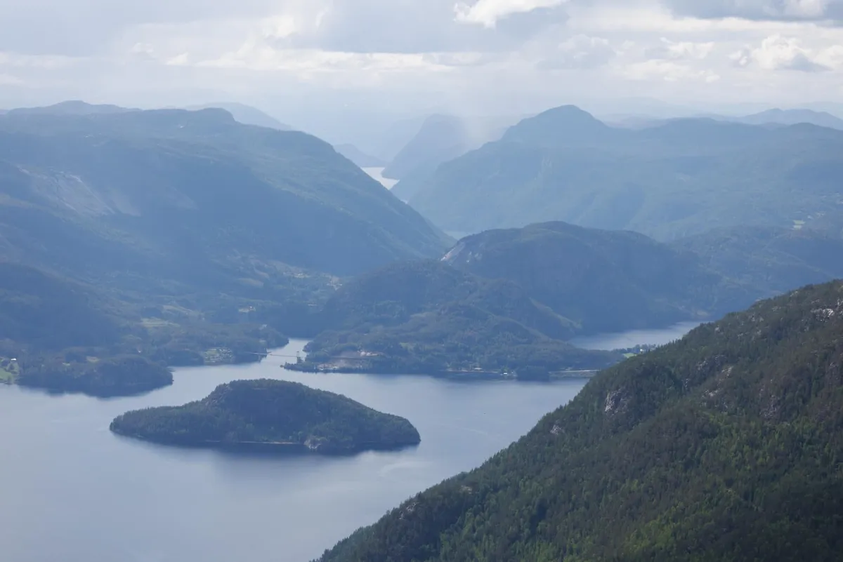
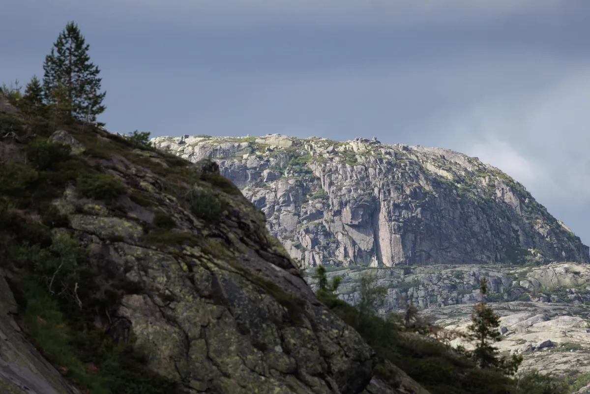
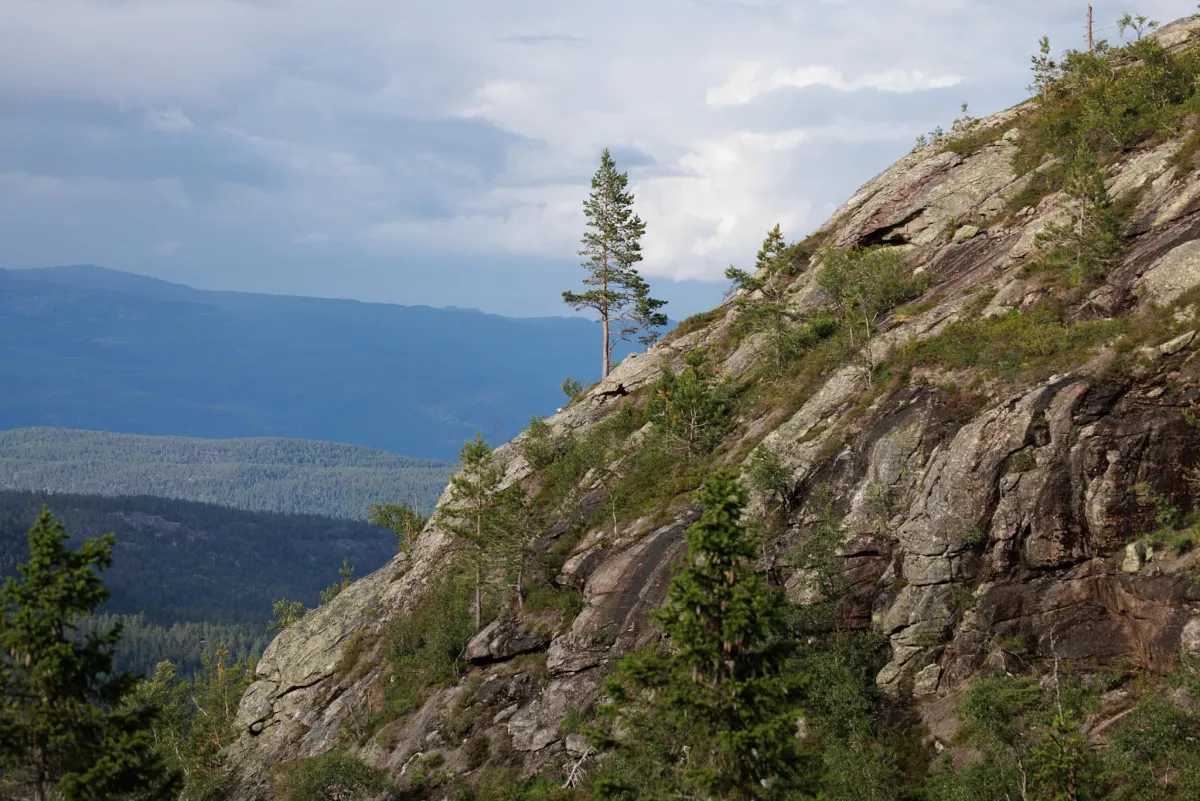
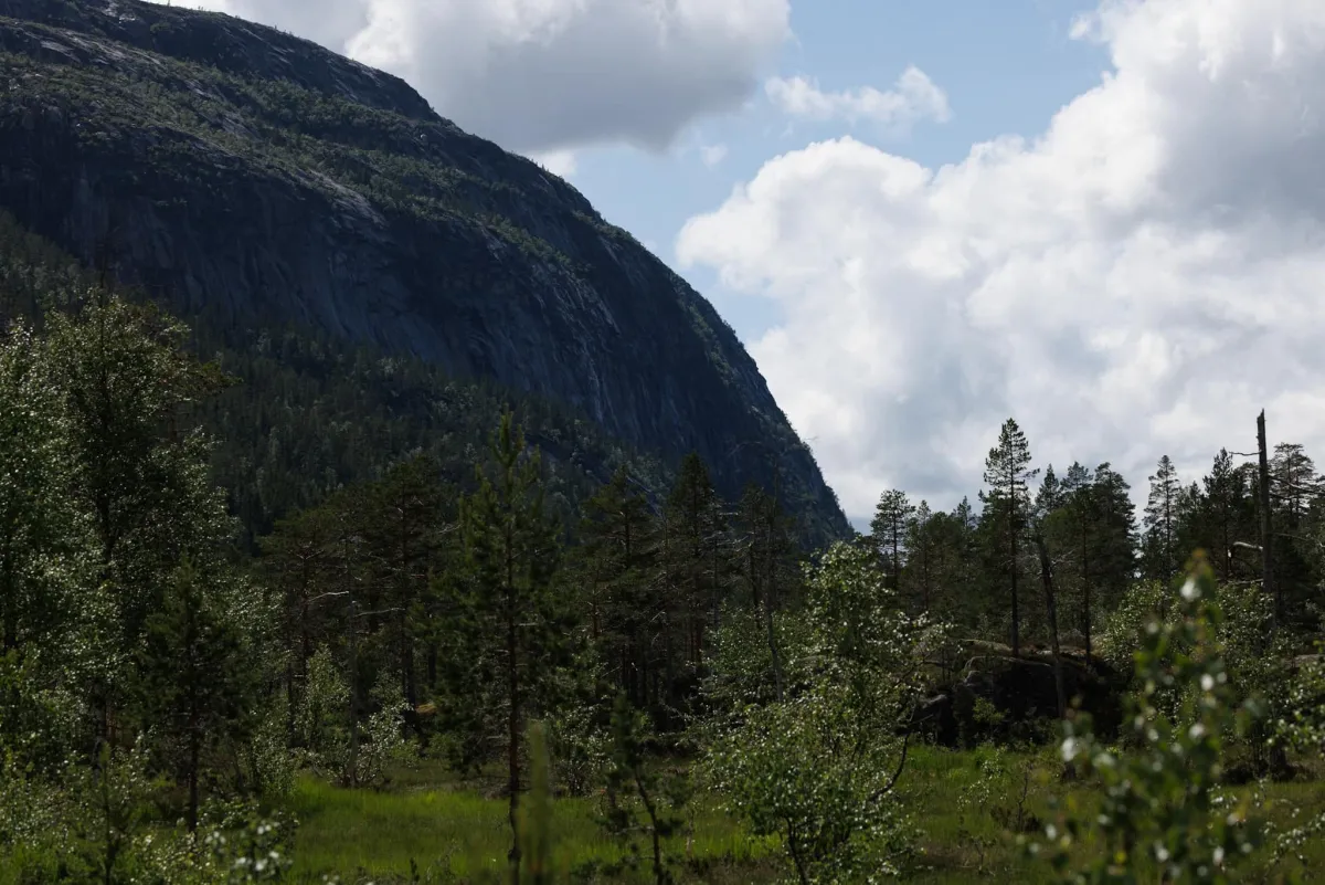
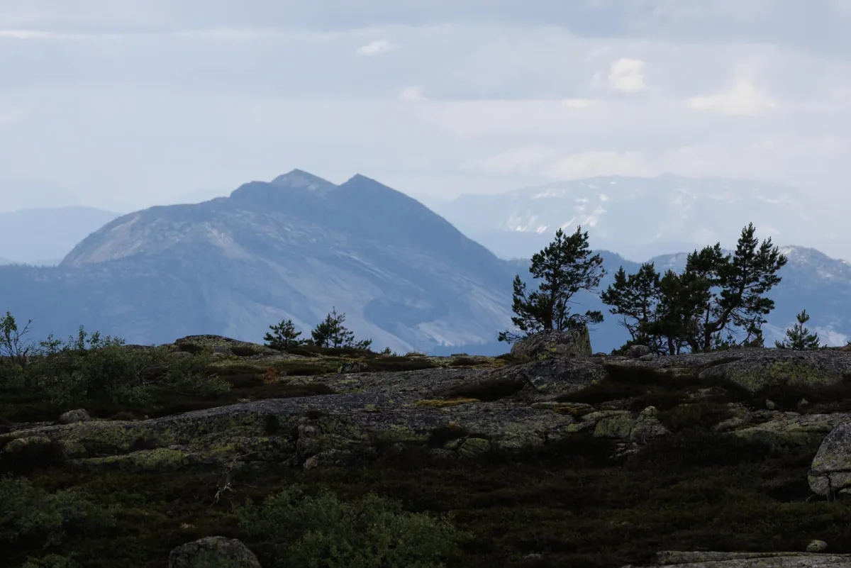
Bicycle from Bommen and up. Then climbing and freewheeling to the top. Insanely hard. Pæs. Brakandalsfjellet (944 meters above sea level) is a bit of a fun gem with a start just outside the border at Trollbøtn towards Kilen. This is a complicated hike in many ways. First, there is a locked toll road. Then, there's a clearance with no path or markings. If you have a bike, it's easier even though there is a good climb up Lindalen to Brakandalen (about 10 km). As many people have seen (if you look across the lake when you drive down Kviteseidkleivan from Vrådal by car), it's steep up to the top. Rocks, reeds and grassy valleys. I walked up to Bystigtjønni (found an old overgrown path along the road) and back up. At the top it's flat and beautiful. Almost reminiscent of the "Uluru" mountain in Australia. Difficult to get up, but easy at the top. I went to the front and got a great view of Kviteseid with Spjotsodd and Bykkøy centrally in view. And with the beautiful Roholtfjellet mountain sticking up in the clouds. Back home, I walked down the Rapen gorge. Yes, it's possible to go up and down here. But I would definitely not recommend it! The trip took 5-6 hours and a total length of 27 km with a climb of over 1000 meters. Hike of 7.5 km.
Photos (9)

1 / 9
Practical info
- Direction
- tur-retur
- Season
- Summer
- Trail quality
- 3/5
- Solitude
- 6/5
Got any good trail tips?
Kviteseid
Telemark
fintur.no
Telemark
fintur.no